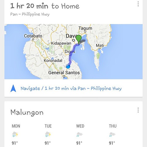
Elevation of Upper Mainit Elementary School, Malungon, Sarangani, Philippines
Location: Philippines > Region Xii > Sarangani > Malungon >
Longitude: 125.324816
Latitude: 6.3829341
Elevation: 216m / 709feet
Barometric Pressure: 99KPa
Related Photos:
Topographic Map of Upper Mainit Elementary School, Malungon, Sarangani, Philippines
Find elevation by address:

Places near Upper Mainit Elementary School, Malungon, Sarangani, Philippines:
Upper Mainit
Upper Mainit National High School
Panamin Elementary School
Malungon
Kalon Barak Skyline Ridge
Malungon Gamay
Malalag
Malita
Vsm Heights Subdivision Phase 1 Basketball Court
Lagao
San Isidro
Mindanao Medical Center, Inc.
General Santos City
Balutakay
Dawis
San Jose
San Miguel
Aplaya
Zone Iii
Kinam
Recent Searches:
- Elevation of Corso Fratelli Cairoli, 35, Macerata MC, Italy
- Elevation of Tallevast Rd, Sarasota, FL, USA
- Elevation of 4th St E, Sonoma, CA, USA
- Elevation of Black Hollow Rd, Pennsdale, PA, USA
- Elevation of Oakland Ave, Williamsport, PA, USA
- Elevation of Pedrógão Grande, Portugal
- Elevation of Klee Dr, Martinsburg, WV, USA
- Elevation of Via Roma, Pieranica CR, Italy
- Elevation of Tavkvetili Mountain, Georgia
- Elevation of Hartfords Bluff Cir, Mt Pleasant, SC, USA


