Elevation of Malungon Gamay, Sarangani, Philippines
Location: Philippines > Region Xii > Sarangani >
Longitude: 125.352111
Latitude: 6.5190865
Elevation: 329m / 1079feet
Barometric Pressure: 97KPa
Elevation Map:
Satellite Map:
Related Photos:

TRIANGLES

POV

COCONUT TREES

South Cotabato Mountain Pilipinas Agila Philippines

TRIPLE J

STREET SCENE

THE CROSS

PLACE OF WORSHIP
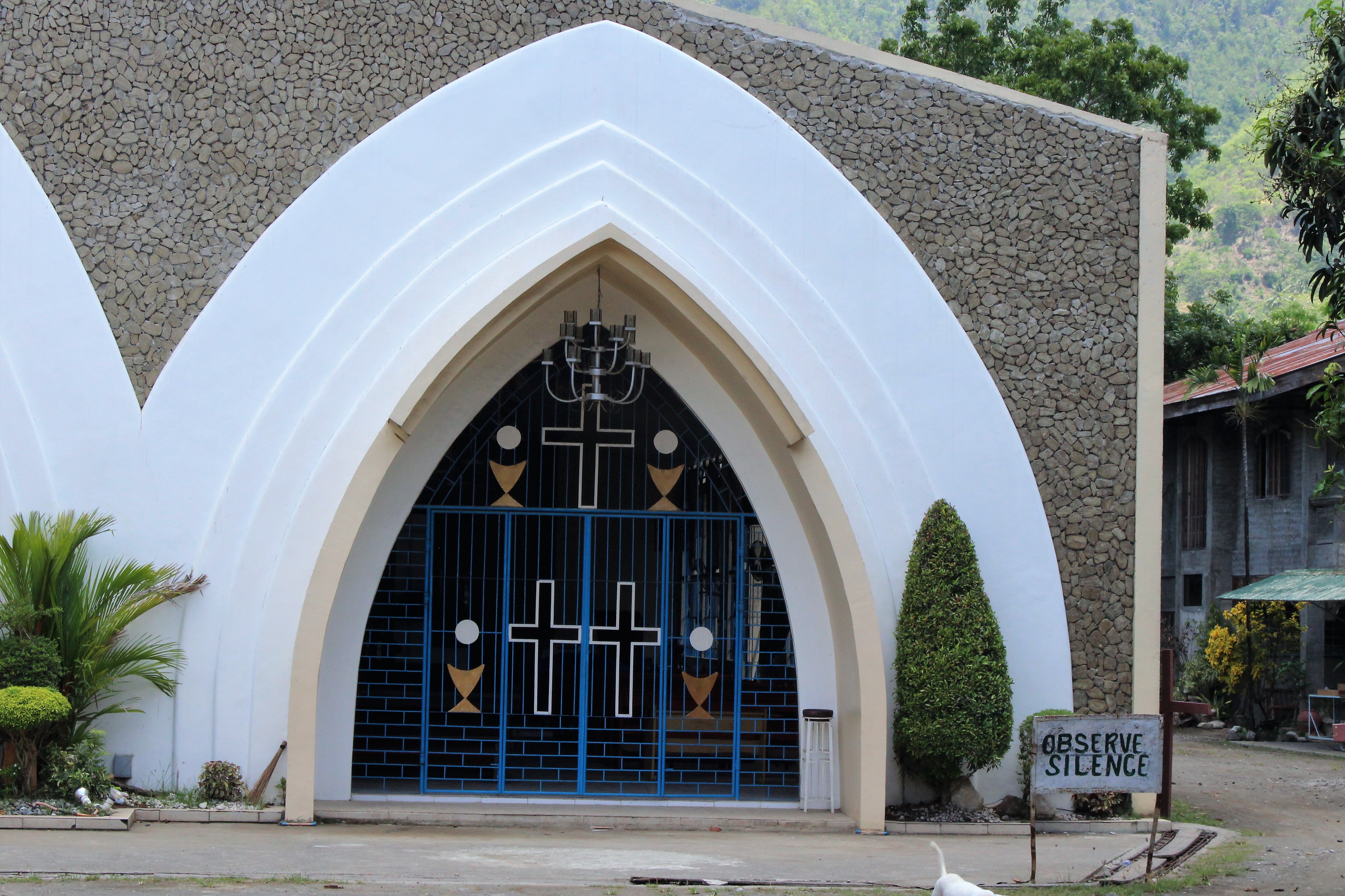
OBSERVE SILENCE

GASOLINE STATION

CHOOSE LIFE

CACTUS BEAUTY

BOTTLED CACTUS

WING MEETS THE CLOUD

USE OF BAMBOO

THE SEA

THE TREE

TABLE AND CHAIRS
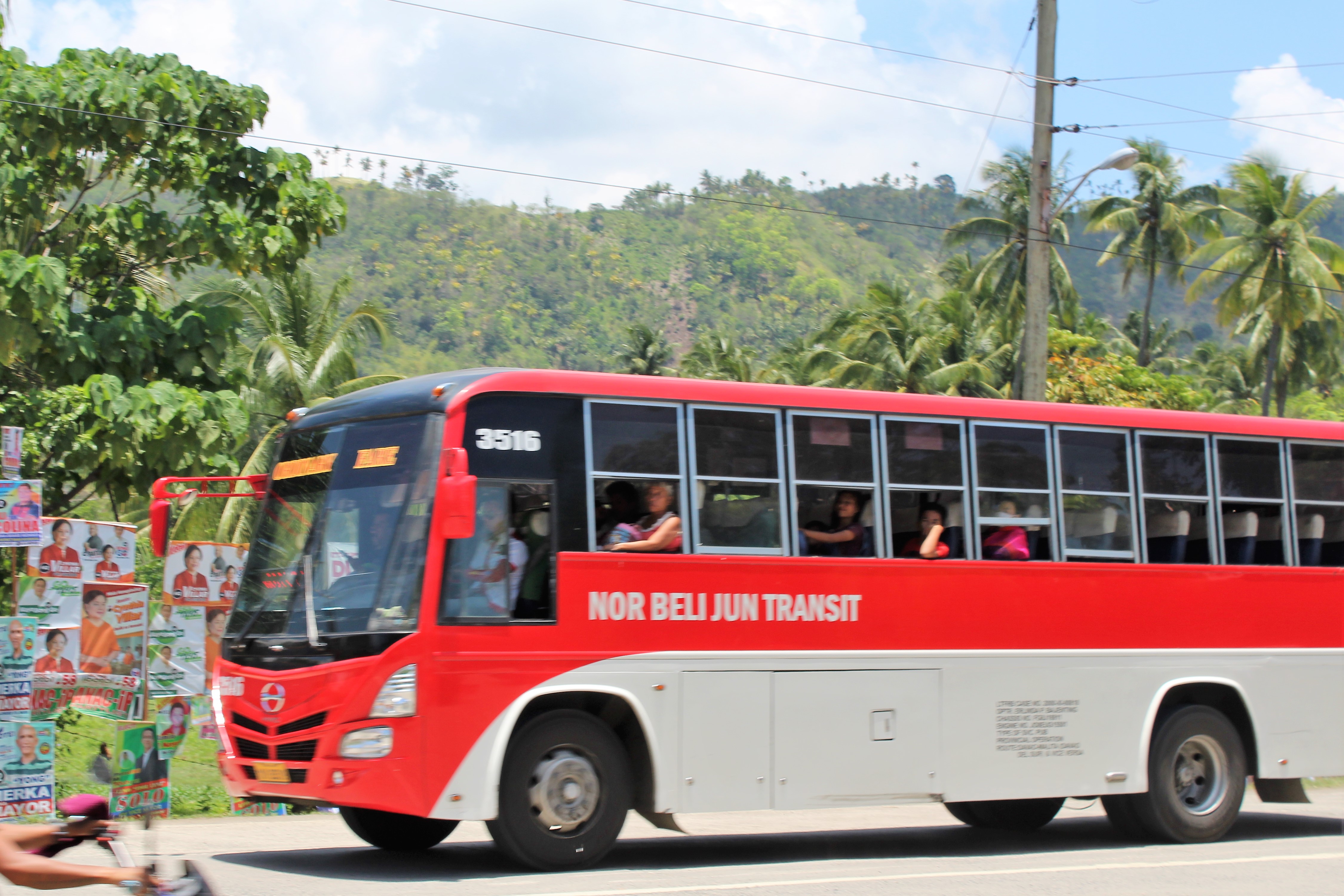
NOR BELI JUN TRANSIT
Topographic Map of Malungon Gamay, Sarangani, Philippines
Find elevation by address:

Places near Malungon Gamay, Sarangani, Philippines:
Malalag
Upper Mainit Elementary School
Upper Mainit
Kalon Barak Skyline Ridge
Balutakay
Upper Mainit National High School
Panamin Elementary School
Malungon
Dawis
San Jose
Aplaya
San Miguel
Zone Iii
Zone Ii
Zone I
Digos City
Cogon
Tres De Mayo
Davao Del Sur
San Agustin
Recent Searches:
- Elevation of Corso Fratelli Cairoli, 35, Macerata MC, Italy
- Elevation of Tallevast Rd, Sarasota, FL, USA
- Elevation of 4th St E, Sonoma, CA, USA
- Elevation of Black Hollow Rd, Pennsdale, PA, USA
- Elevation of Oakland Ave, Williamsport, PA, USA
- Elevation of Pedrógão Grande, Portugal
- Elevation of Klee Dr, Martinsburg, WV, USA
- Elevation of Via Roma, Pieranica CR, Italy
- Elevation of Tavkvetili Mountain, Georgia
- Elevation of Hartfords Bluff Cir, Mt Pleasant, SC, USA