Elevation of Unnamed Road, Nakkarta, Telangana, India
Location: India > Telangana > Ranga Reddy >
Longitude: 78.6443277
Latitude: 16.9951087
Elevation: 581m / 1906feet
Barometric Pressure: 95KPa
Elevation Map:
Satellite Map:
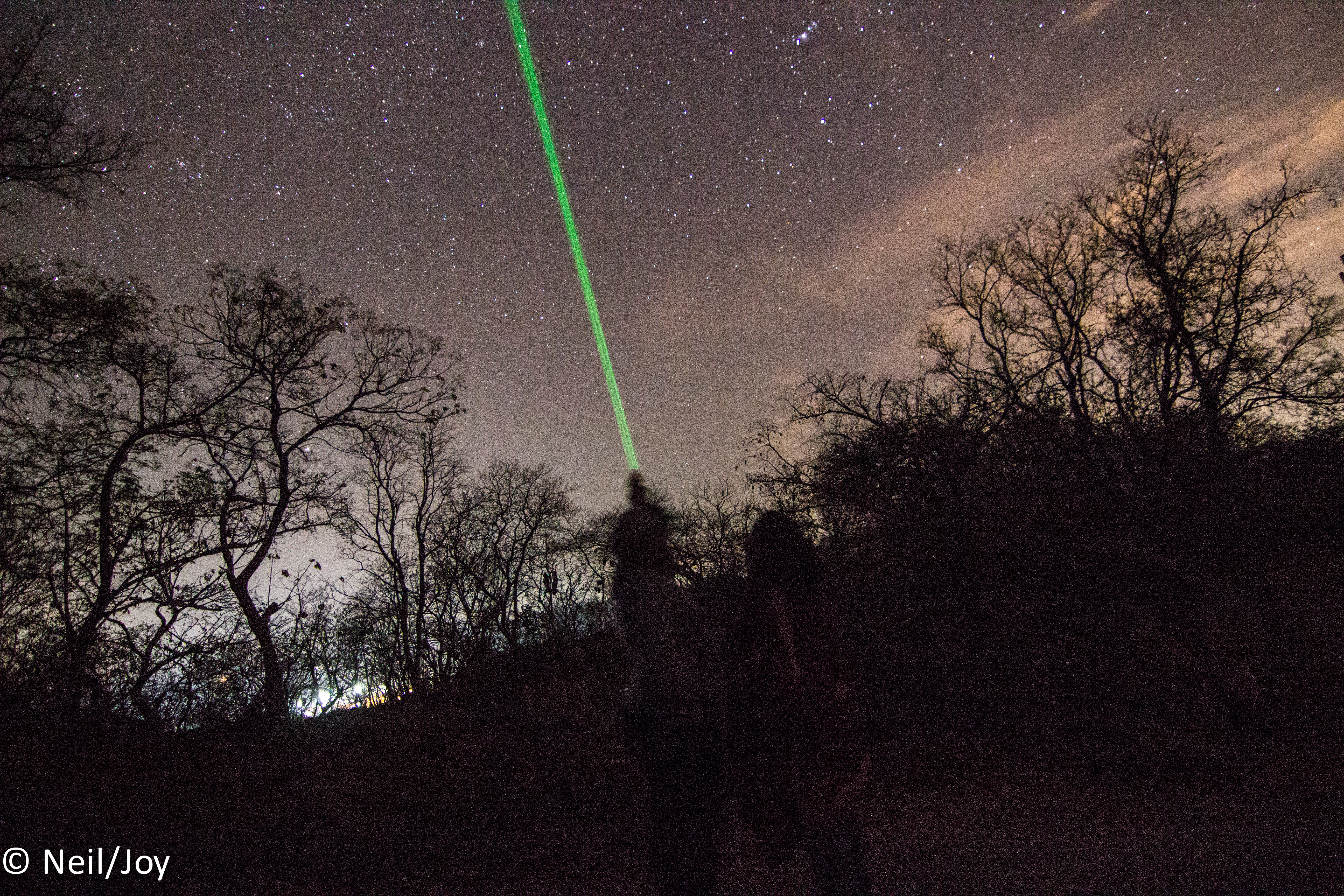
Related Photos:


The North
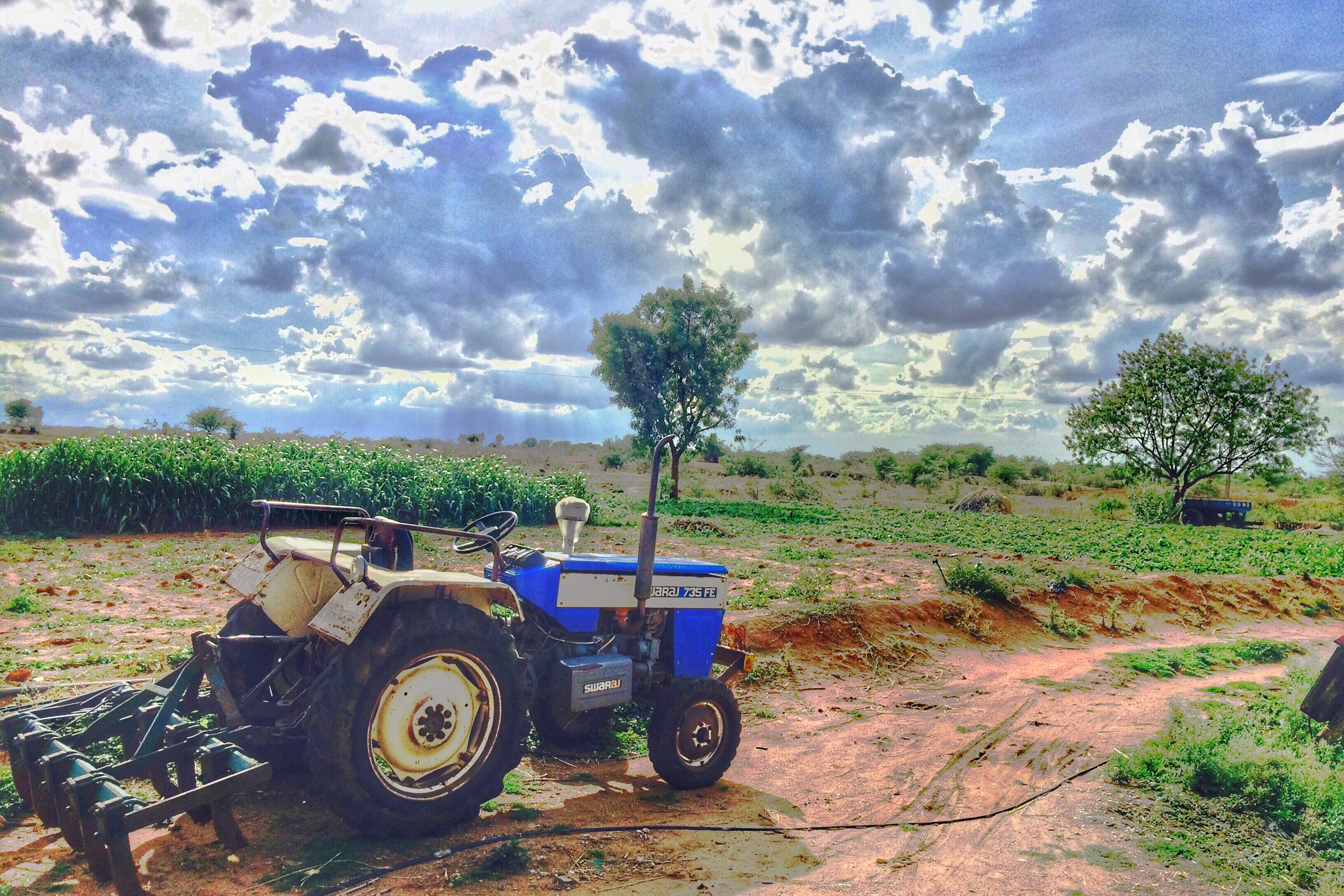
Farm on Rain

Self Snaps

Bird caught on my iphne
IMG_3438-2

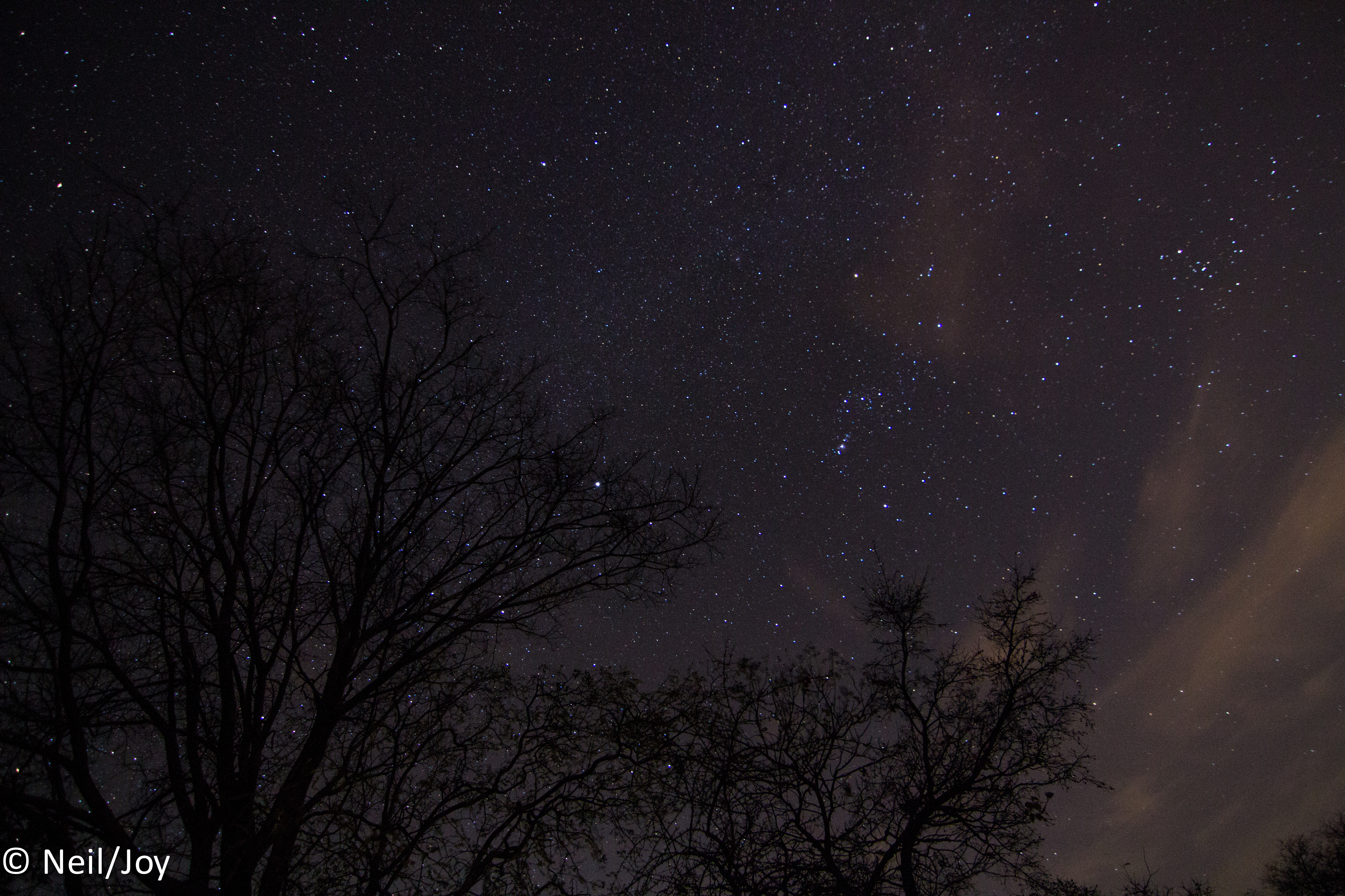
Cloudy Winter Sky
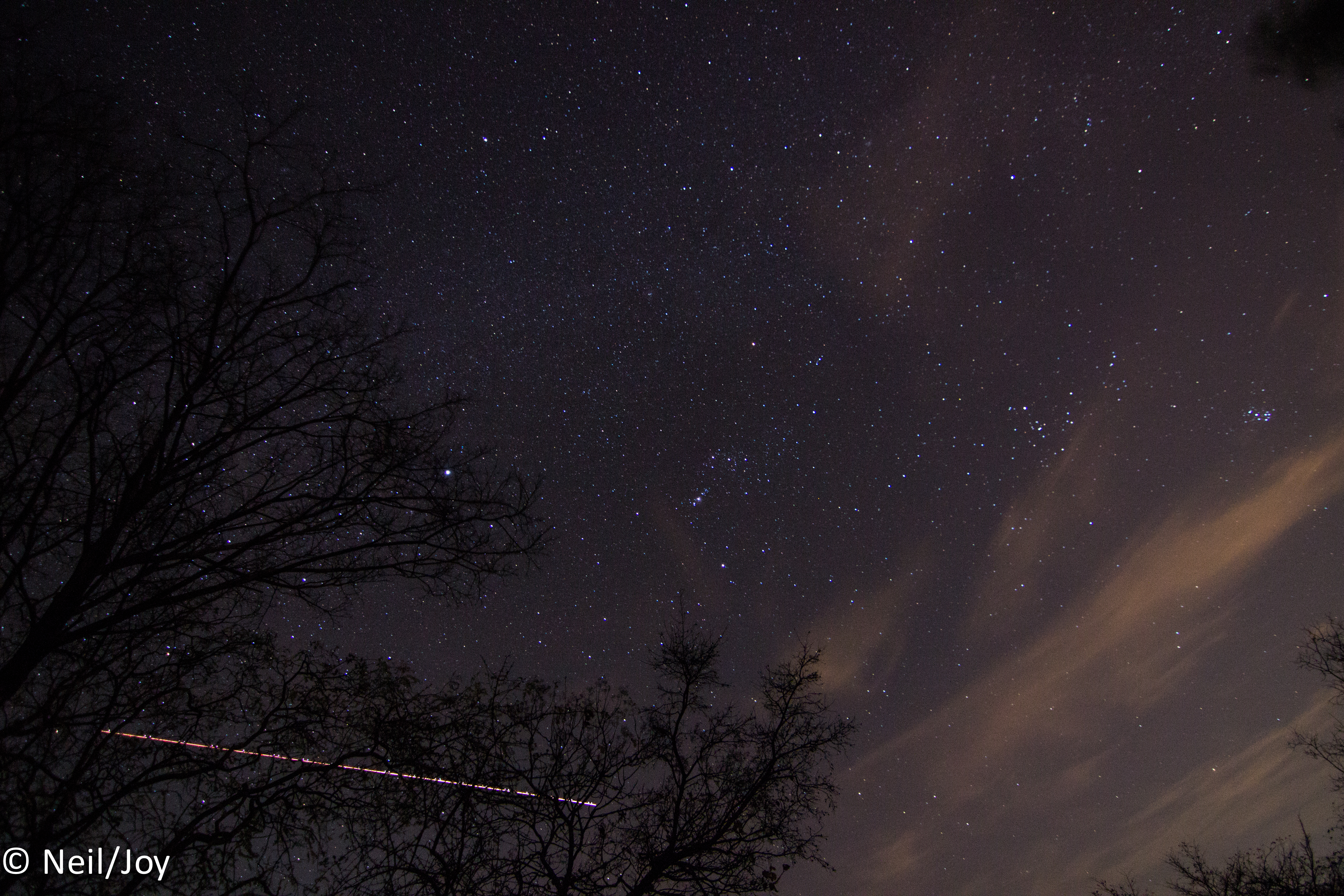
IMG_3440-2

IMG_3444-2

IMG_3447-2
Saiph (κ Orionis, 53 Orionis)
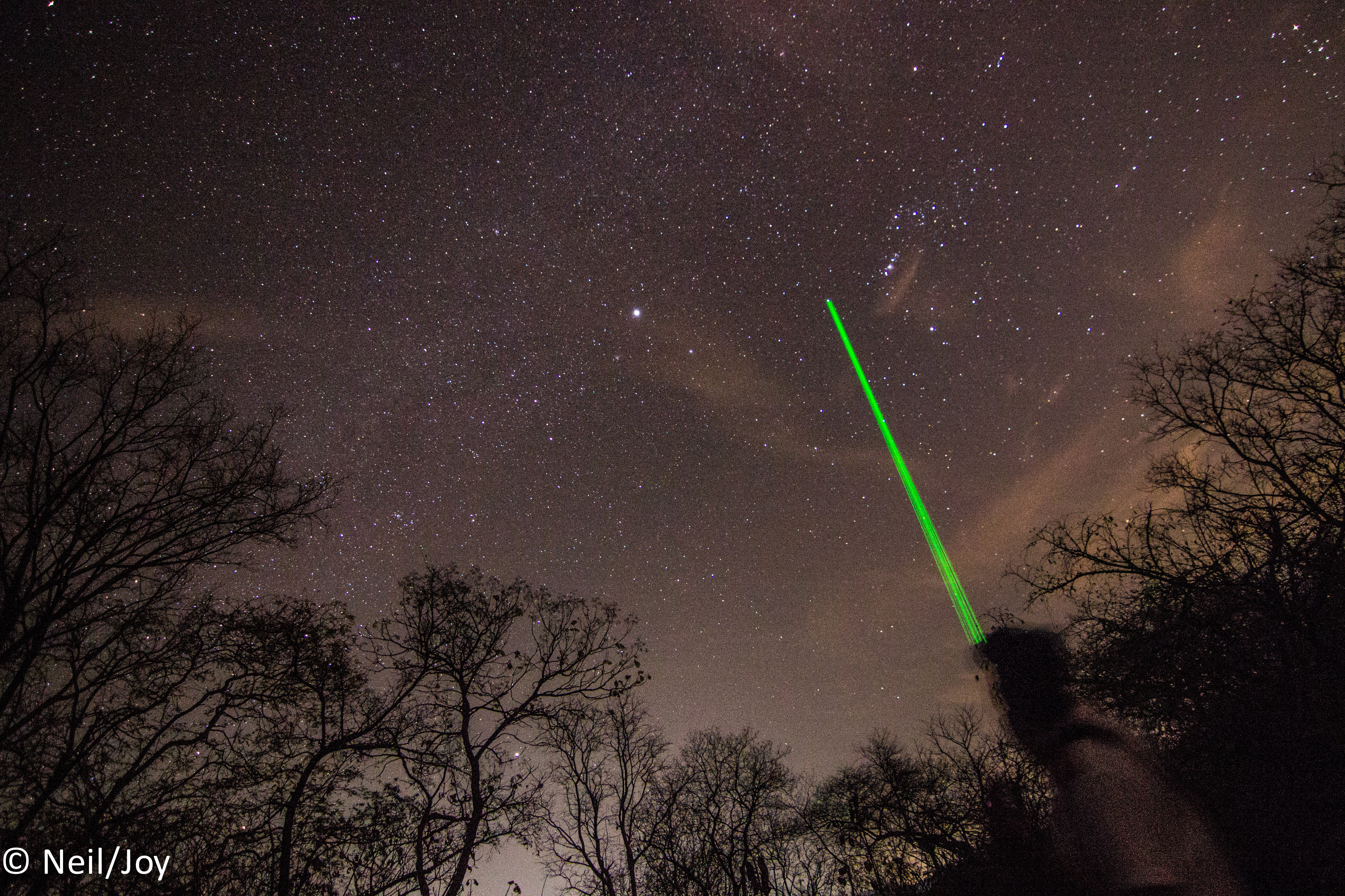
IMG_3453-2

Orion Nebula (M42)

DSC09580 - Version 2

DSC09521 - Version 2
Topographic Map of Unnamed Road, Nakkarta, Telangana, India
Find elevation by address:

Places near Unnamed Road, Nakkarta, Telangana, India:
Mucherla
Jb's Serene City
Talakondapally
Kurmaguda
Rajiv Gandhi International Airport
Shamshabad
Mallapur
Gollapalle Khurd
Vanasthalipuram
Keshampet
Kothur
Kothapet
Pratap Nagar
Nayapul
Budwel
Hyderabad
Langar Houz
Bandlaguda Jagir
Shadnagar
Devi Sugna Enclave, Krishna Giri Enclave
Recent Searches:
- Elevation of Corso Fratelli Cairoli, 35, Macerata MC, Italy
- Elevation of Tallevast Rd, Sarasota, FL, USA
- Elevation of 4th St E, Sonoma, CA, USA
- Elevation of Black Hollow Rd, Pennsdale, PA, USA
- Elevation of Oakland Ave, Williamsport, PA, USA
- Elevation of Pedrógão Grande, Portugal
- Elevation of Klee Dr, Martinsburg, WV, USA
- Elevation of Via Roma, Pieranica CR, Italy
- Elevation of Tavkvetili Mountain, Georgia
- Elevation of Hartfords Bluff Cir, Mt Pleasant, SC, USA