Elevation of Unnamed Road, Chowchilla, CA, USA

Location: United States > California > Madera County > Chowchilla >

Longitude: -120.21188

Latitude: 37.1344842

Elevation: 82m / 269feet

Barometric Pressure: 100KPa

Elevation Map:

elevation map of Unnamed Road, Chowchilla, CA, USA

Satellite Map:

Satellite map of Unnamed Road, Chowchilla, CA, USA

Related Photos:

agrability usda departmentofagriculture usdepartmentofagriculture farmproductionandconservation fpac naturalresourcesconservationservice nrcs agribility microirrigation moisturemeter nutrientmanagement
20181109-FPAC-LSC-0428
agrability usda departmentofagriculture usdepartmentofagriculture farmproductionandconservation fpac naturalresourcesconservationservice nrcs agribility microirrigation moisturemeter nutrientmanagement
20181109-FPAC-LSC-0493
agrability usda departmentofagriculture usdepartmentofagriculture farmproductionandconservation fpac naturalresourcesconservationservice nrcs agribility microirrigation moisturemeter nutrientmanagement
20181109-FPAC-LSC-0435
california farm farming naturalresourcesconservationservice nrcs usda vegetables fridaysonthefarm
Forever Grateful Ranch
auto california door two classic chevrolet car sedan vintage four one gm general style icon 150 motors chevy chrome american 1957 trim iconic base tone fins 57 fifty chowchilla
1957 Chevy "One Fifty"
california usa cars yard america junk view unitedstates unitedstatesofamerica aerial fromabove trucks scrap fromtheair maderacounty
Aerial View Scrap Yard
blue lake reflection green palmtrees bunker golfcourse sandtrap granitefalls 18thhole chowchilla
200704021.jpg
chowchilla loves me. fresh hot chips
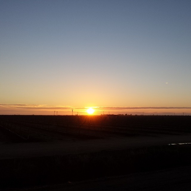
square squareformat iphoneography instagramapp uploaded:by=instagram
Sunset on the 99
road highway pavement perspective sacramentophotographers mywinners platinumphoto seandickinson ringexcellence blinkagain slddigitalhighway152 gettyimagesslddigital gettyimagesseandickinson publishedphotographers imagesofcafreeways sceniccaliforniafreeways photographyseandickinson
California Highway 152
maderacounty fairmead
Big Orange
chowchilla us99 old99
US 99 long ago
california ca usa landscape hwy roads freeways hwy152 sacramentophotographers seandickinson slddigital hwy152california publishedphotographers imagesofcafreeways sceniccaliforniafreeways photographyseandickinson
Hwy 152 California
california landscape hwy hwy152 sacramentophotographers seandickinson slddigital hwy152california publishedphotographers imagesofcafreeways sceniccaliforniafreeways photographyseandickinson
Hwy 152 California
california blackandwhite fence square landscape blackwhite squareformat land inkwell delano centralcalifornia iphoneography instagram instagramapp uploaded:by=instagram foursquare:venue=4f8266c7e4b0cd6f63920937
An odd name for a town.
Good morning happy
stampede
2015-03-13 Stampede (11)
square lofi squareformat iphoneography instagramapp uploaded:by=instagram foursquare:venue=4e1a19ce7d8b8af9139dae12
#sunrise #dawn #chemtrails
square lofi squareformat iphoneography instagramapp uploaded:by=instagram
#dawn
square squareformat iphoneography instagramapp uploaded:by=instagram foursquare:venue=52487f4d498e5a2f82cb3930
#sunrise
stampede
2015-03-13 Stampede (7)
square squareformat iphoneography instagramapp uploaded:by=instagram
#dawn #Chowchilla
square squareformat iphoneography instagramapp uploaded:by=instagram foursquare:venue=4c47cb92972c0f47c41a2521
#sunrise #dawn #Chowchilla
stampede
2015-03-13 Stampede (8)
square squareformat iphoneography instagramapp uploaded:by=instagram foursquare:venue=4cb5e496b315a0936ee99776
#sunrise
square lofi squareformat iphoneography instagramapp uploaded:by=instagram foursquare:venue=4db4f94793a017099de3738b
#sunrise
2012-04-16 11.53.09
uploaded:by=flickrmobile flickriosapp:filter=nofilter
USA 2013