Elevation of Unnamed Road, Alamogordo, NM, USA
Location: United States > New Mexico > Otero County > Alamogordo >
Longitude: -106.09639
Latitude: 32.4180312
Elevation: 1352m / 4436feet
Barometric Pressure: 86KPa
Elevation Map:
Satellite Map:
Related Photos:
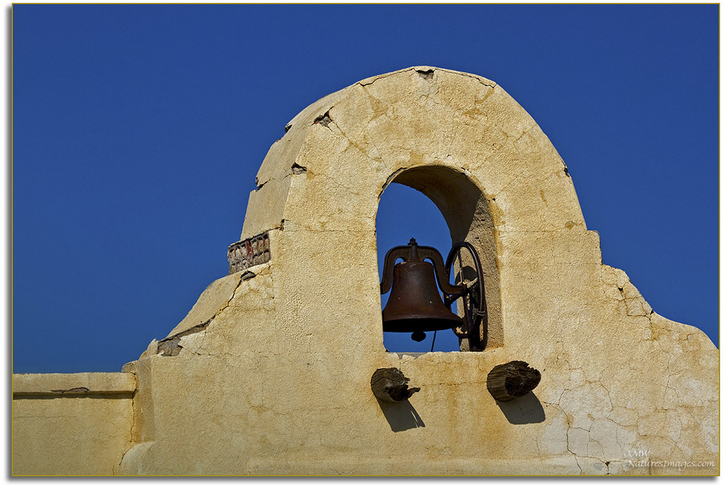
Mission Bell, NM
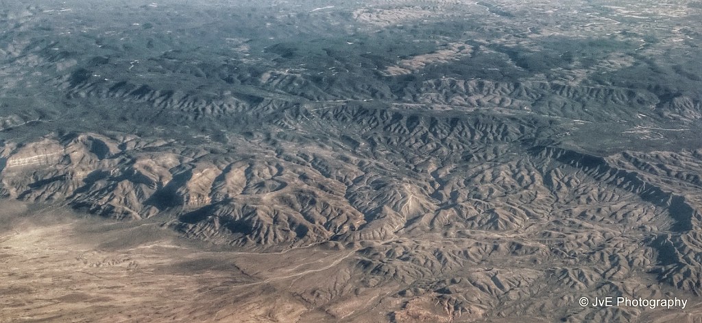
Lincoln National Forest, MN
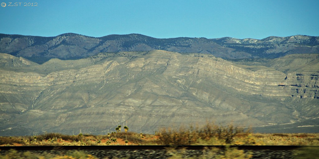
Compressional Folding & Faulting
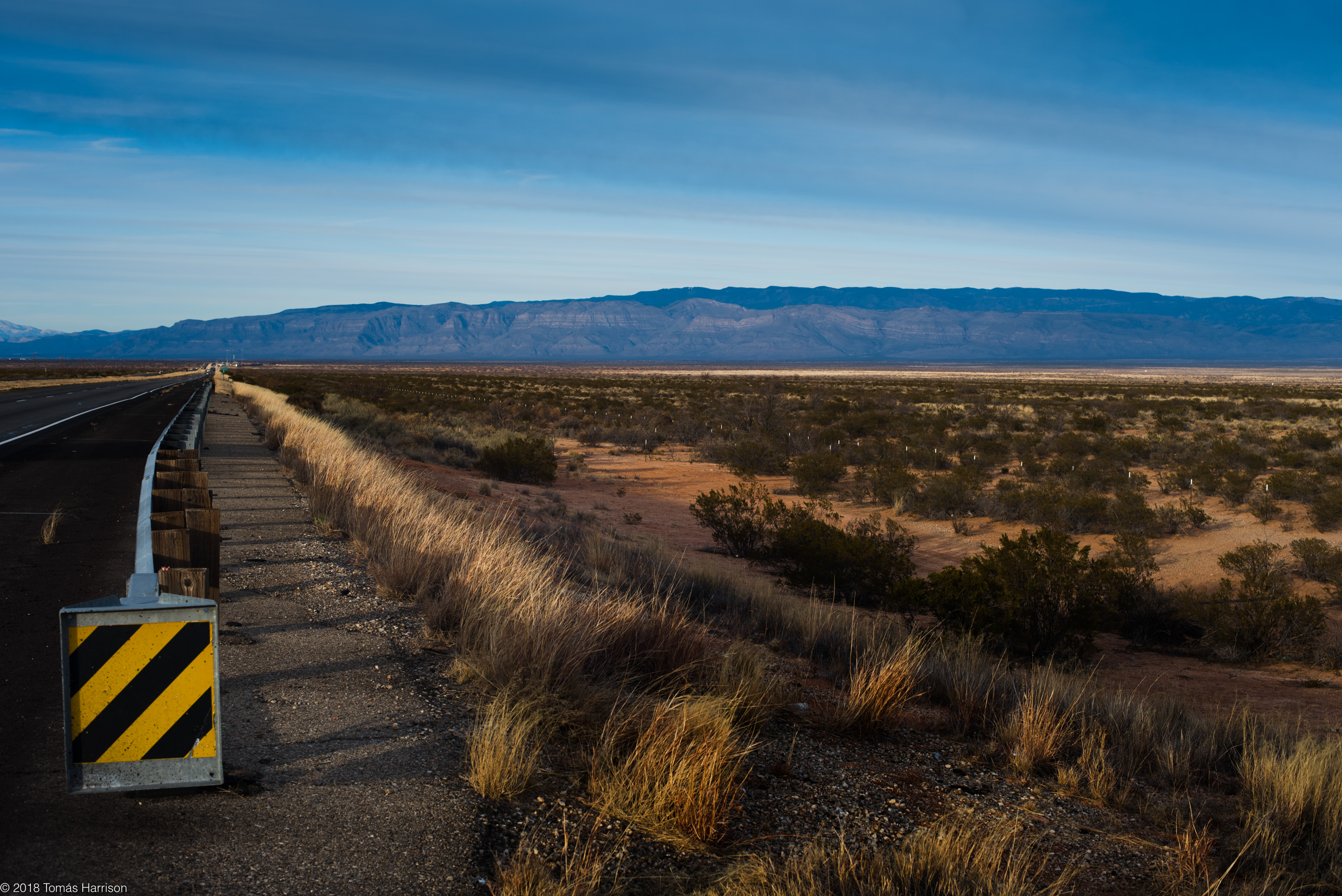
mountain time
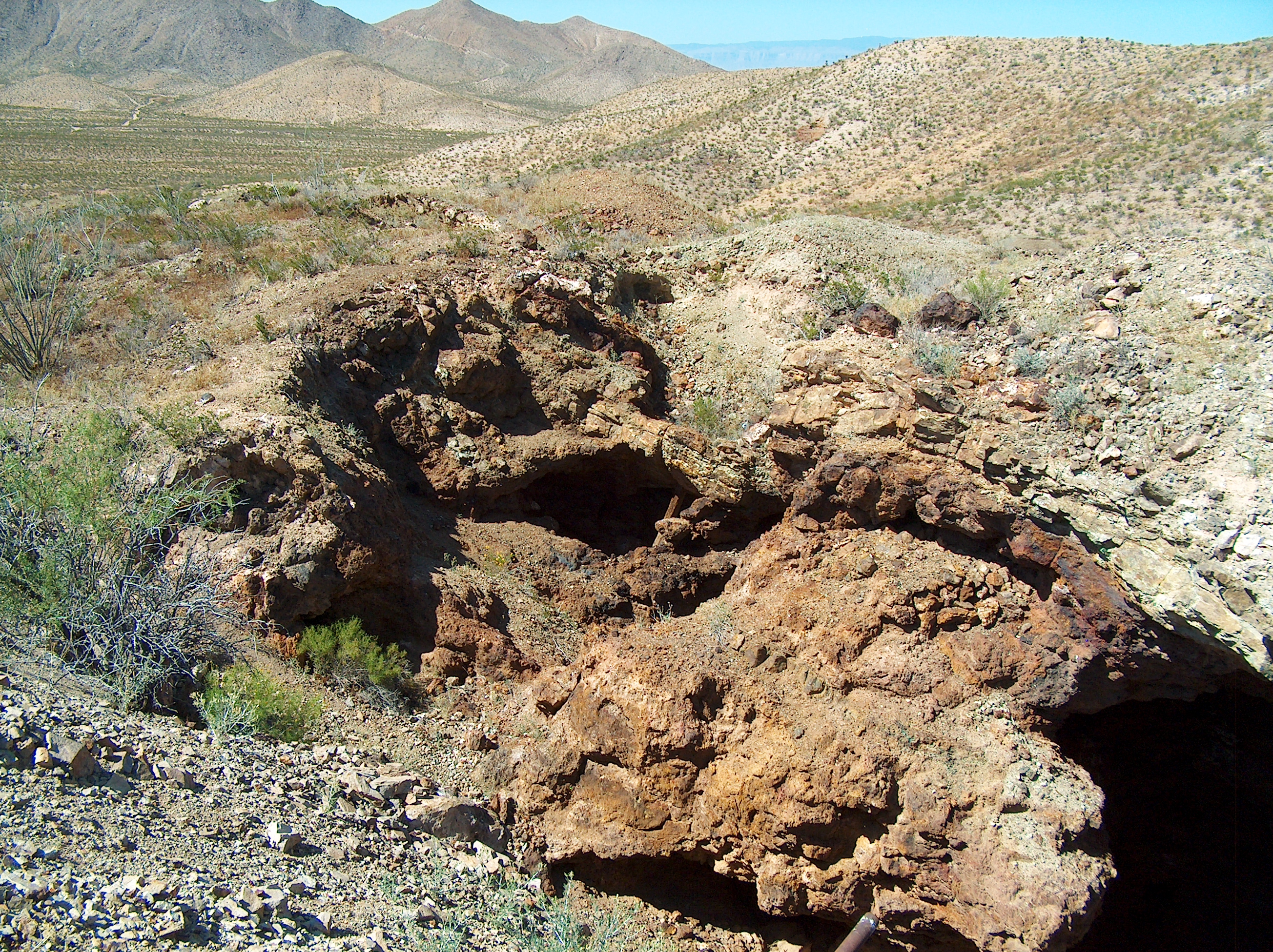
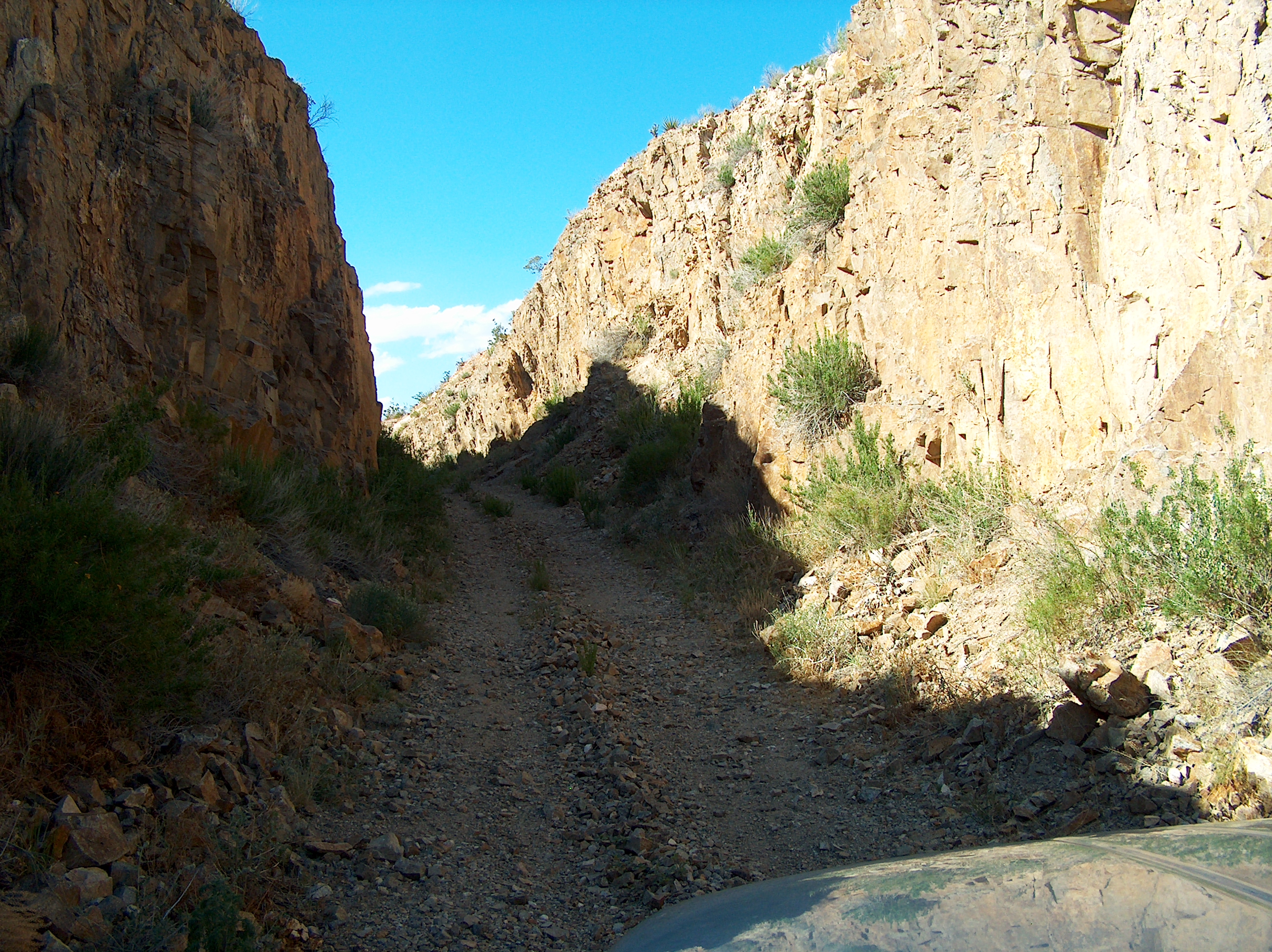
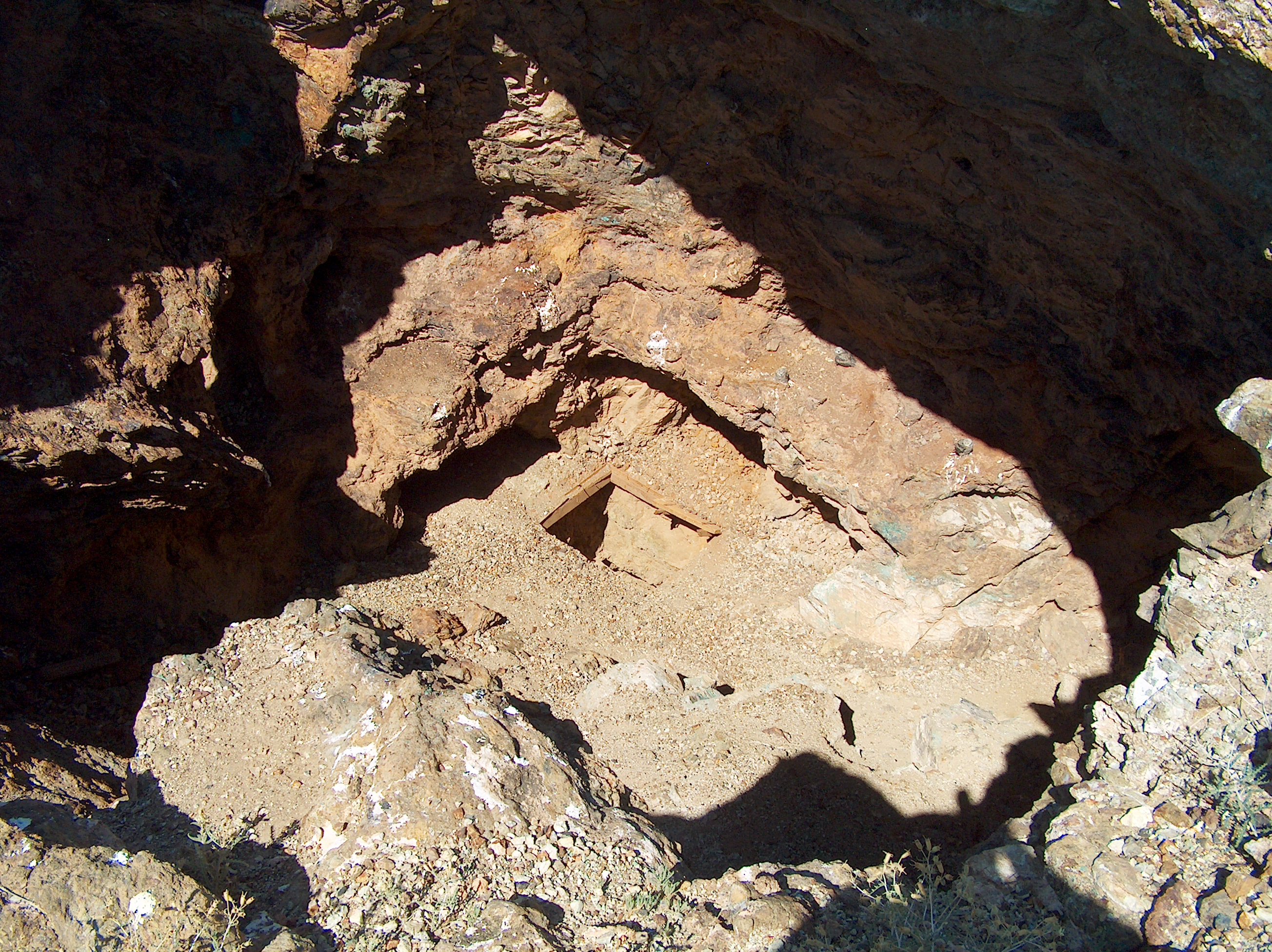
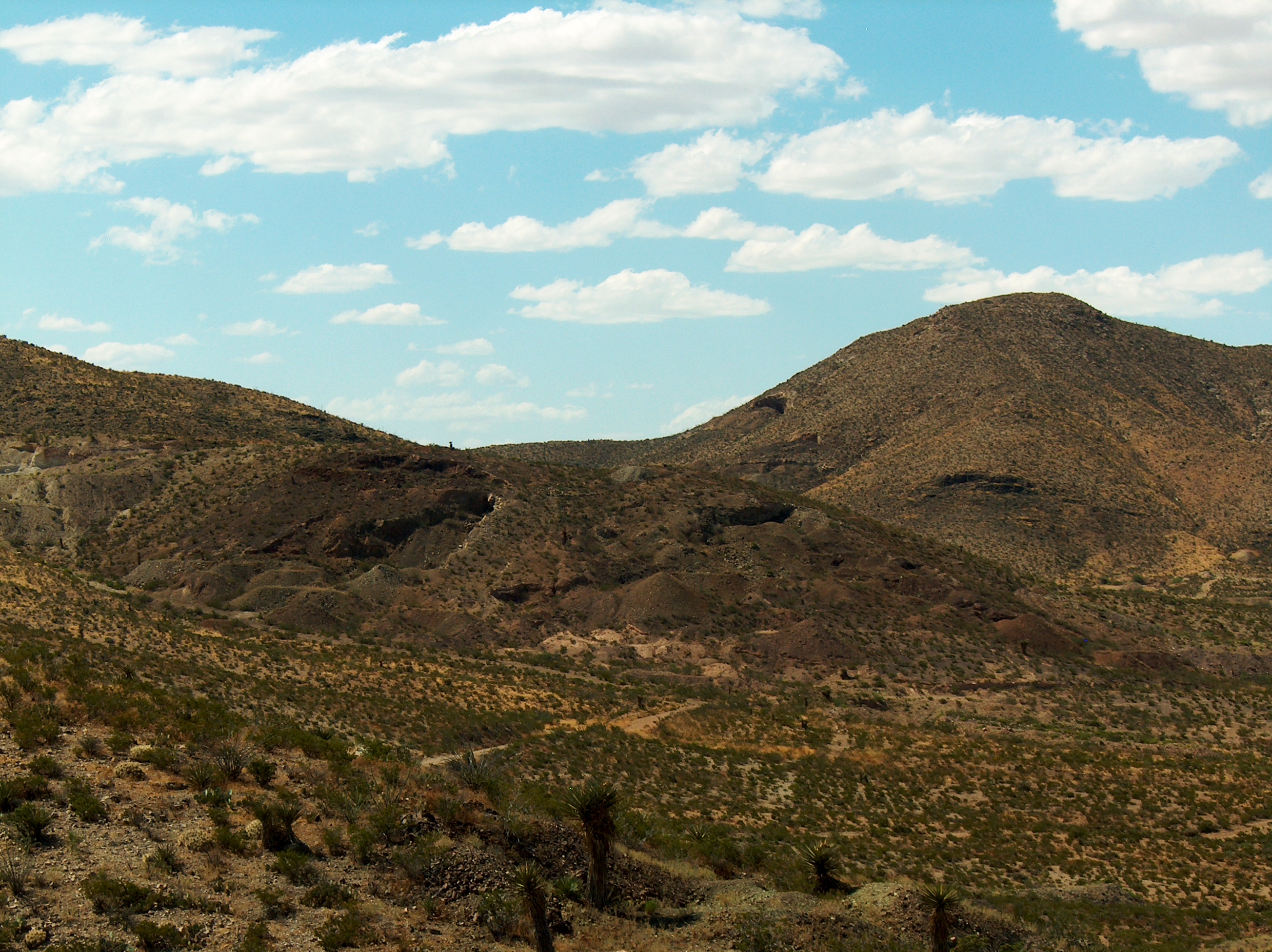
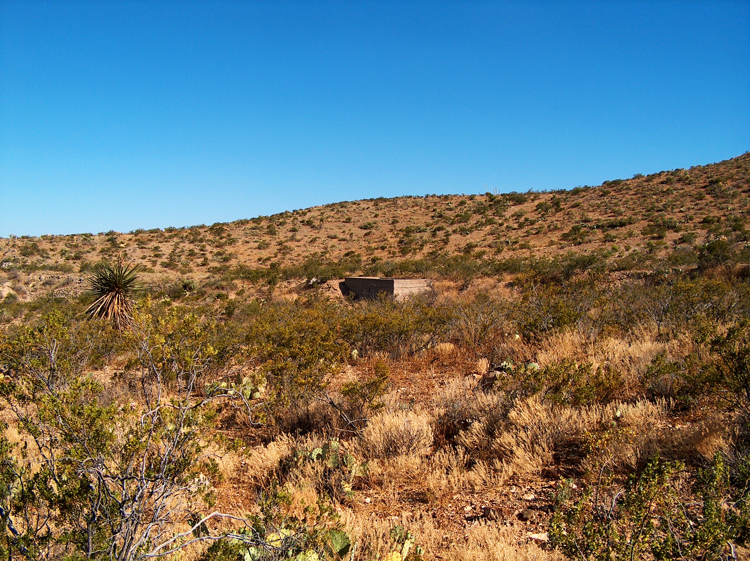
Garnet Mine
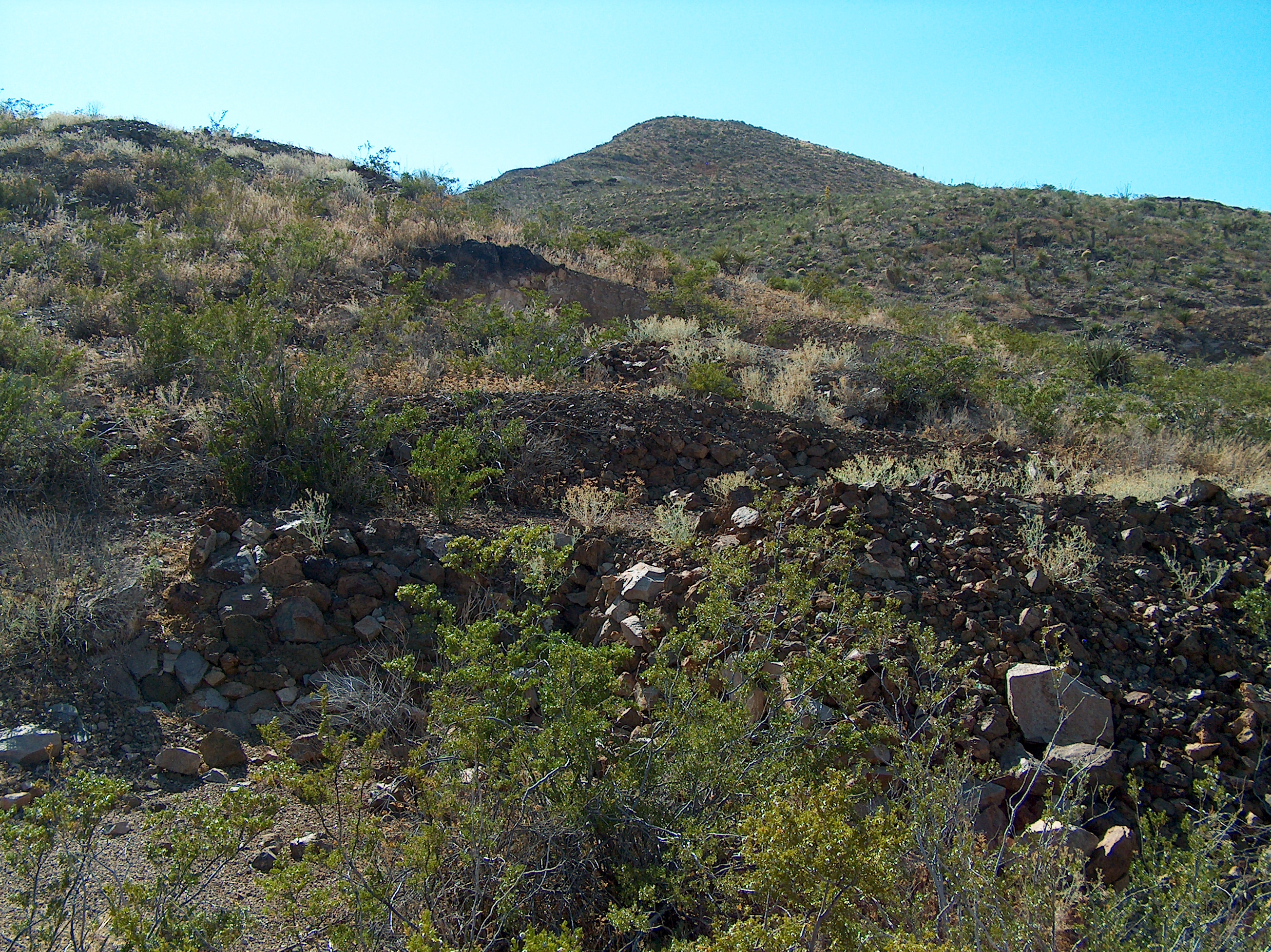
Garnet Mine
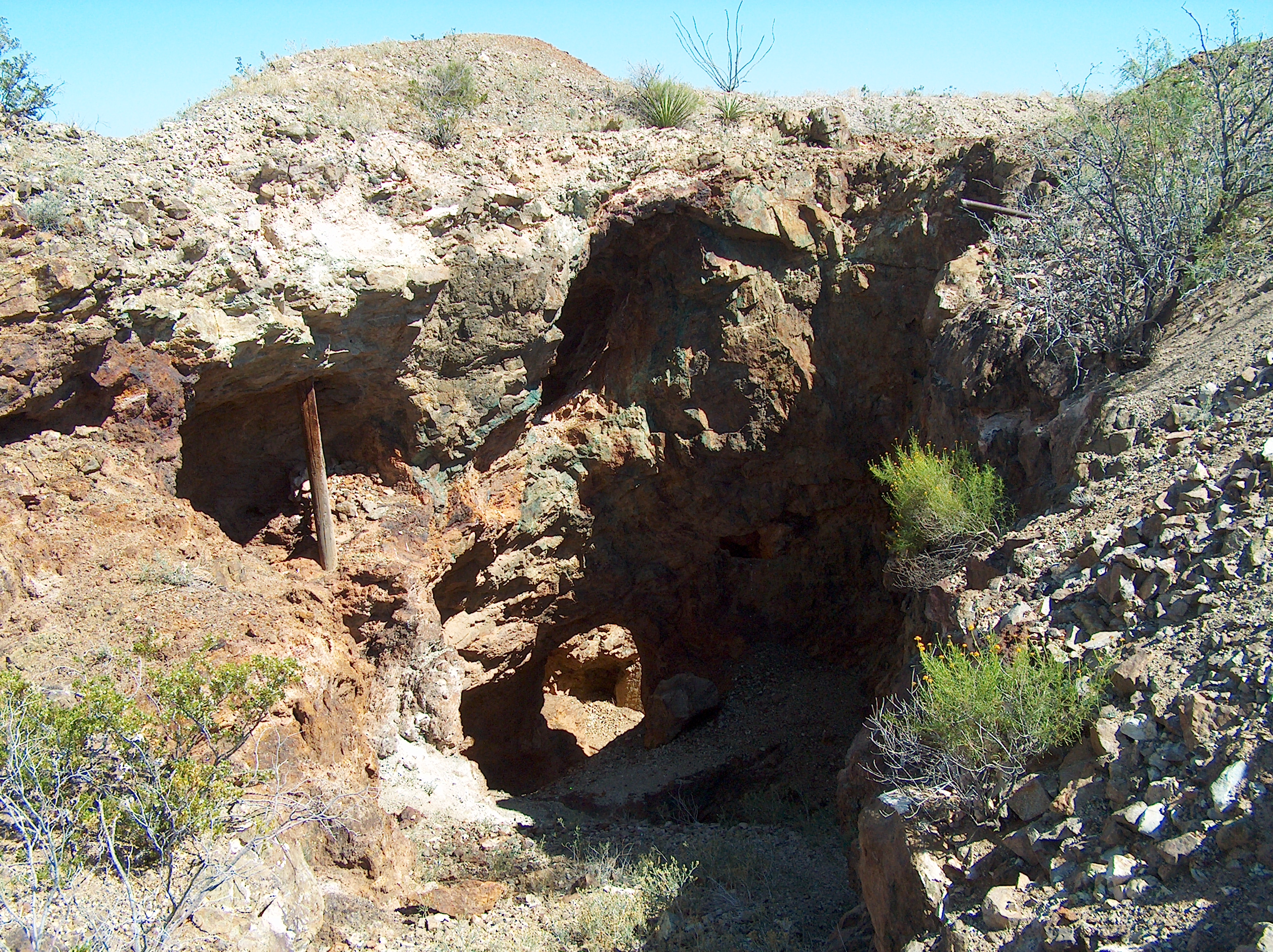
Garnet Mine
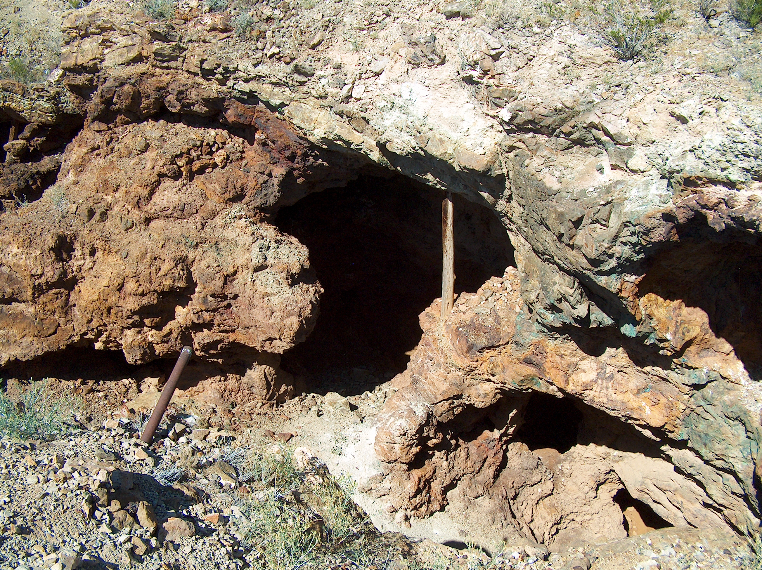
Garnet Mine
Garnet Mine
Garnet Mine
Garnet Mine
Garnet Mine
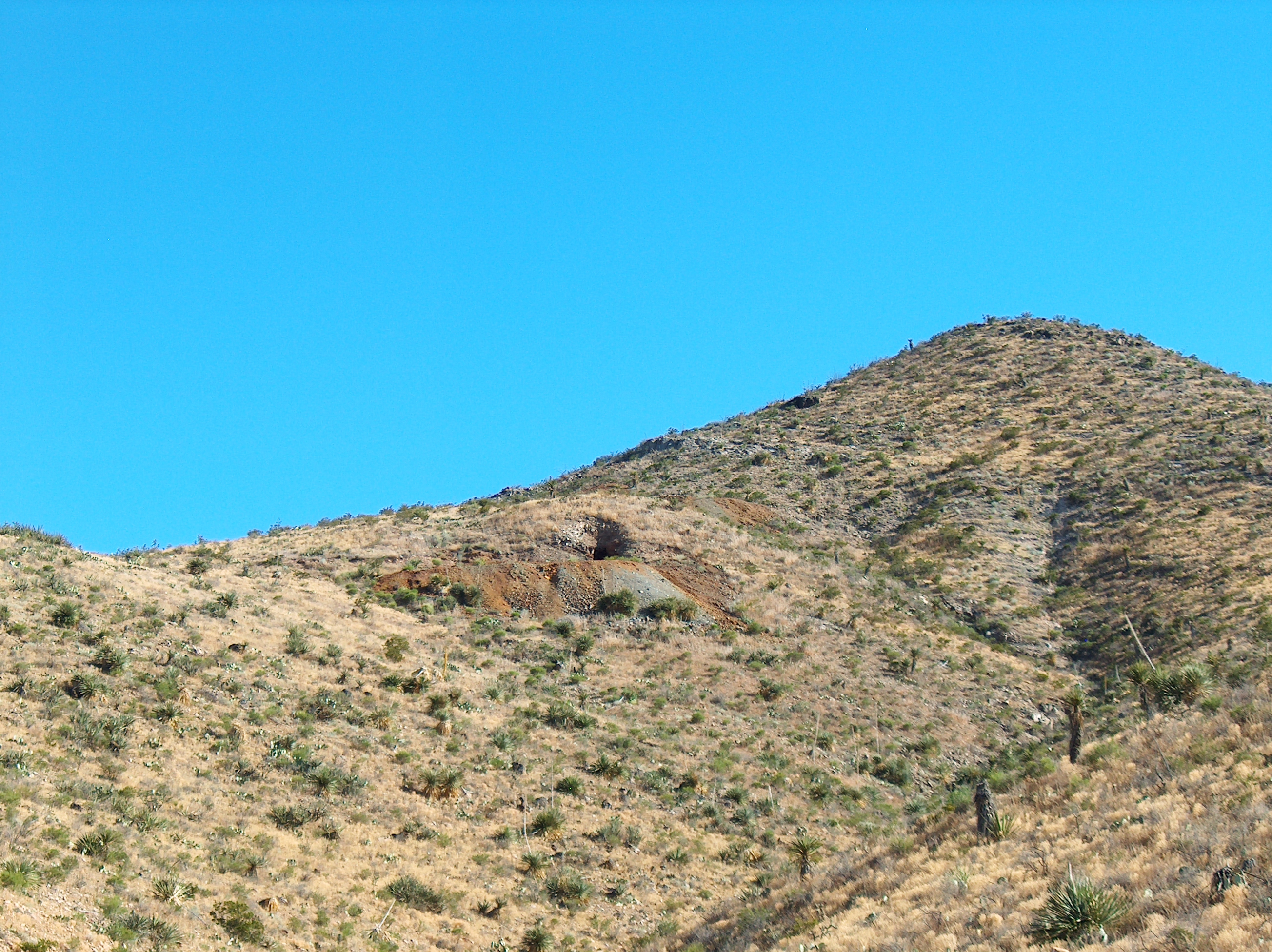
Garnet Mine
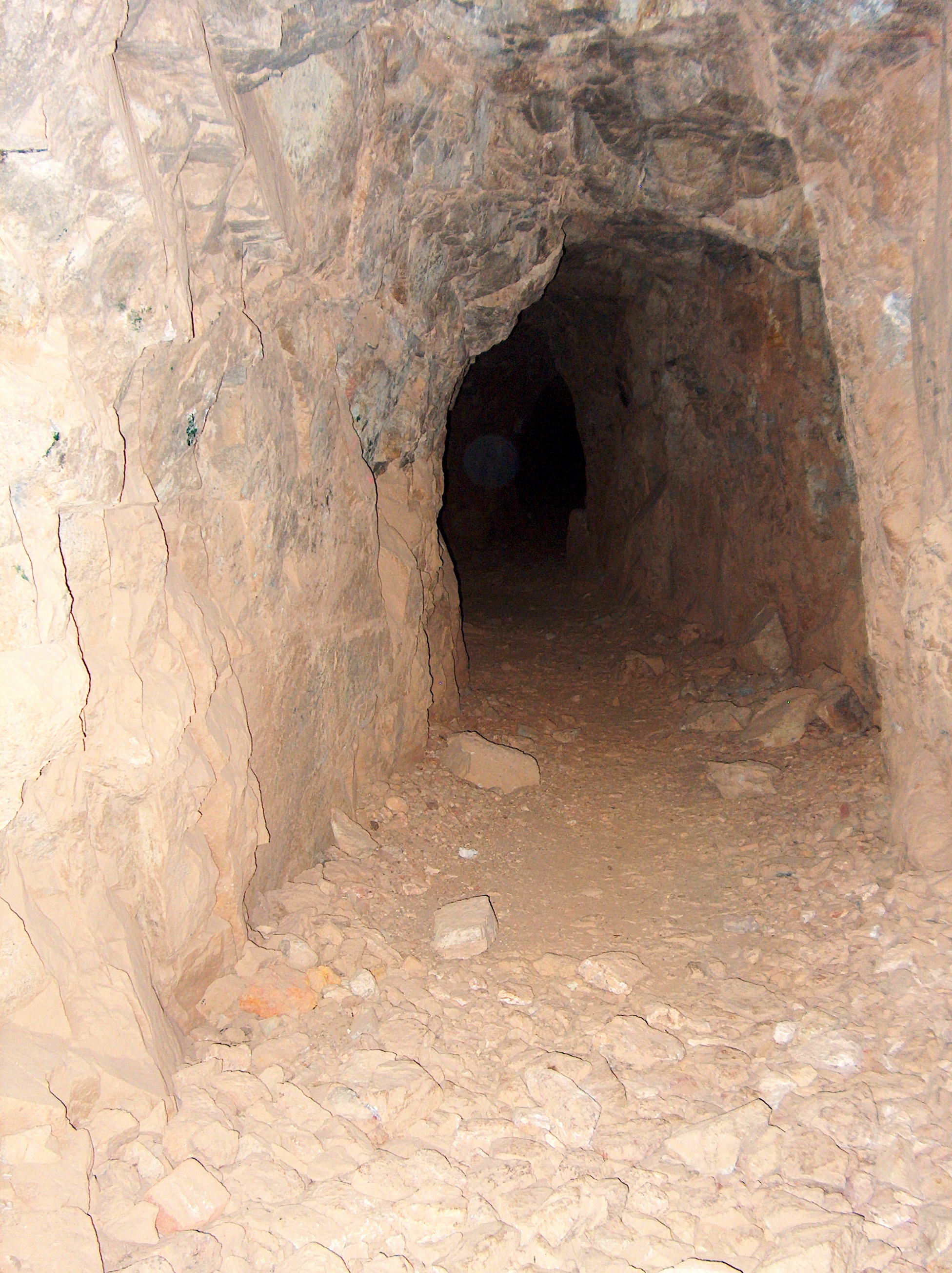
Garnet Mine
Topographic Map of Unnamed Road, Alamogordo, NM, USA
Find elevation by address:

Places near Unnamed Road, Alamogordo, NM, USA:
Unnamed Road
Orogrande
Alamogordo, NM, USA
112 Southland Rd
26 Desert Air Rd, Alamogordo, NM, USA
White Sands Visitor's Center
Oliver Lee Memorial State Park
White Sands Missile Range Museum
81 Southend Rd A
81 Southend Rd A
White Sands
423 Vanguard Dr
Ripley Street
Chaparral Avenue
6 Chaparral Ave
Lacrosse Street
236 Jupiter Ave
Boles Acres
Loop Drive
Mineral Hill
Recent Searches:
- Elevation of Corso Fratelli Cairoli, 35, Macerata MC, Italy
- Elevation of Tallevast Rd, Sarasota, FL, USA
- Elevation of 4th St E, Sonoma, CA, USA
- Elevation of Black Hollow Rd, Pennsdale, PA, USA
- Elevation of Oakland Ave, Williamsport, PA, USA
- Elevation of Pedrógão Grande, Portugal
- Elevation of Klee Dr, Martinsburg, WV, USA
- Elevation of Via Roma, Pieranica CR, Italy
- Elevation of Tavkvetili Mountain, Georgia
- Elevation of Hartfords Bluff Cir, Mt Pleasant, SC, USA