Elevation of University of Mount Olive, Henderson St, Mt Olive, NC, USA
Location: United States > North Carolina > Wayne County > Brogden > Mount Olive >
Longitude: -78.071088
Latitude: 35.20782
Elevation: 50m / 164feet
Barometric Pressure: 101KPa
Elevation Map:
Satellite Map:
Related Photos:

Side View Of Powers Quadzilla Carnival Ride.

US 117 Connector - North
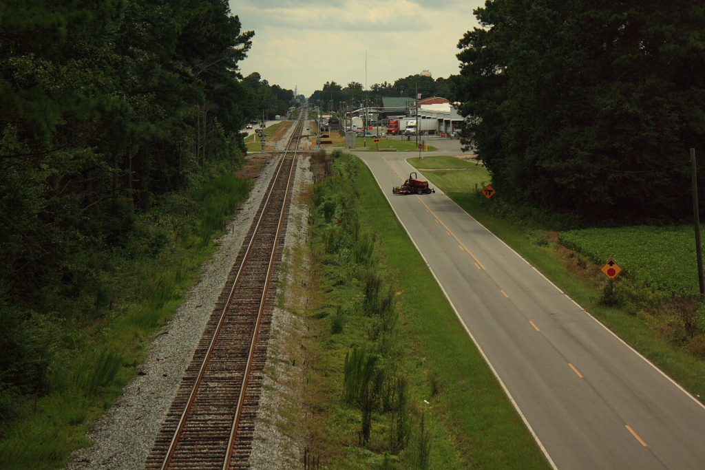
Rail Road Village

20151110-RD-LSC-0647

20151110-RD-LSC-0645

Dead Tree.

20190211-OSEC-LSC-1064

20190211-OSEC-LSC-1058

20190211-OSEC-LSC-1054

20190211-OSEC-LSC-1036

20190211-OSEC-LSC-1032

20190211-OSEC-LSC-1021

20190211-OSEC-LSC-1007

20190211-OSEC-LSC-1006

20190211-OSEC-LSC-1001

20190211-OSEC-LSC-0998

20190211-OSEC-LSC-0995

20190211-OSEC-LSC-0992

20190211-OSEC-LSC-0979

20190211-OSEC-LSC-0973

20190211-OSEC-LSC-0965

20190211-OSEC-LSC-0964

20190211-OSEC-LSC-0959

20190211-OSEC-LSC-0948

20190211-OSEC-LSC-0944

20190211-OSEC-LSC-0941

20190211-OSEC-LSC-0932
Topographic Map of University of Mount Olive, Henderson St, Mt Olive, NC, USA
Find elevation by address:

Places near University of Mount Olive, Henderson St, Mt Olive, NC, USA:
West James Street
Mount Olive
120 Valley Rd
122 Valley Rd
1207 Us Hwy 13 S
103 Pine Grove Ln
Marcia Dr, Goldsboro, NC, USA
201 Grand Oaks Dr
114 Ridge Runner Dr
117 Brockwood Ave
Grantham
2838 Old Grantham Rd
66 Julius Sutton Hwy, Mt Olive, NC, USA
608 Slapout Rd
3162 Harper House Rd
3182 Harper House Rd
Newton Grove
Newton Grove
1299 Mclamb Rd
Roanoke Rd, Newton Grove, NC, USA
Recent Searches:
- Elevation of Corso Fratelli Cairoli, 35, Macerata MC, Italy
- Elevation of Tallevast Rd, Sarasota, FL, USA
- Elevation of 4th St E, Sonoma, CA, USA
- Elevation of Black Hollow Rd, Pennsdale, PA, USA
- Elevation of Oakland Ave, Williamsport, PA, USA
- Elevation of Pedrógão Grande, Portugal
- Elevation of Klee Dr, Martinsburg, WV, USA
- Elevation of Via Roma, Pieranica CR, Italy
- Elevation of Tavkvetili Mountain, Georgia
- Elevation of Hartfords Bluff Cir, Mt Pleasant, SC, USA