Elevation of Brockwood Ave, Goldsboro, NC, USA
Location: United States > North Carolina > Wayne County > Brogden > Mar-mac >
Longitude: -78.071313
Latitude: 35.331805
Elevation: 44m / 144feet
Barometric Pressure: 101KPa
Elevation Map:
Satellite Map:
Related Photos:

Time to Fly!!

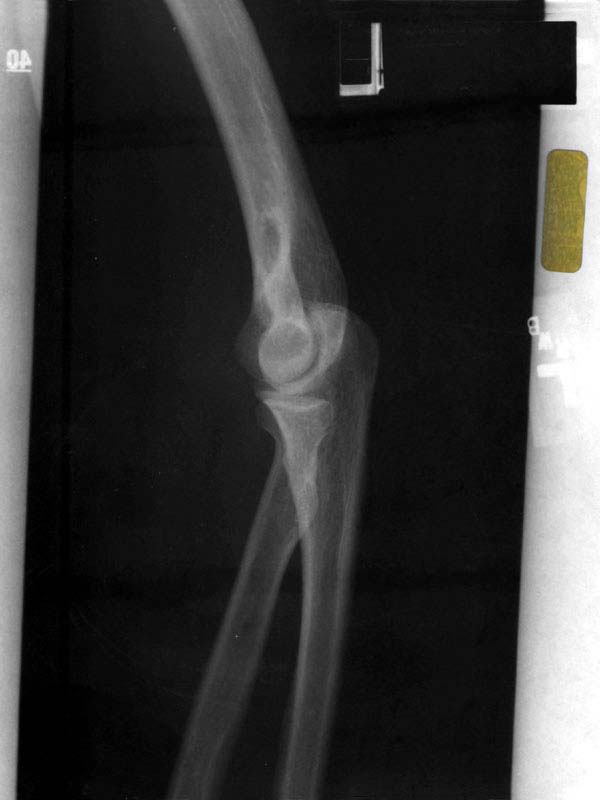
X-ray 3
X-ray 4
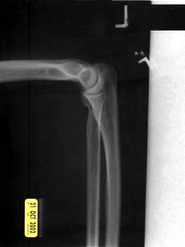
X-ray 2
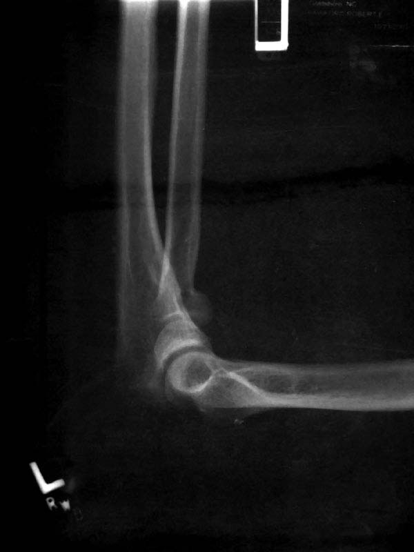
X-ray 1
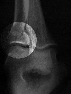
X-ray 3, highlighted
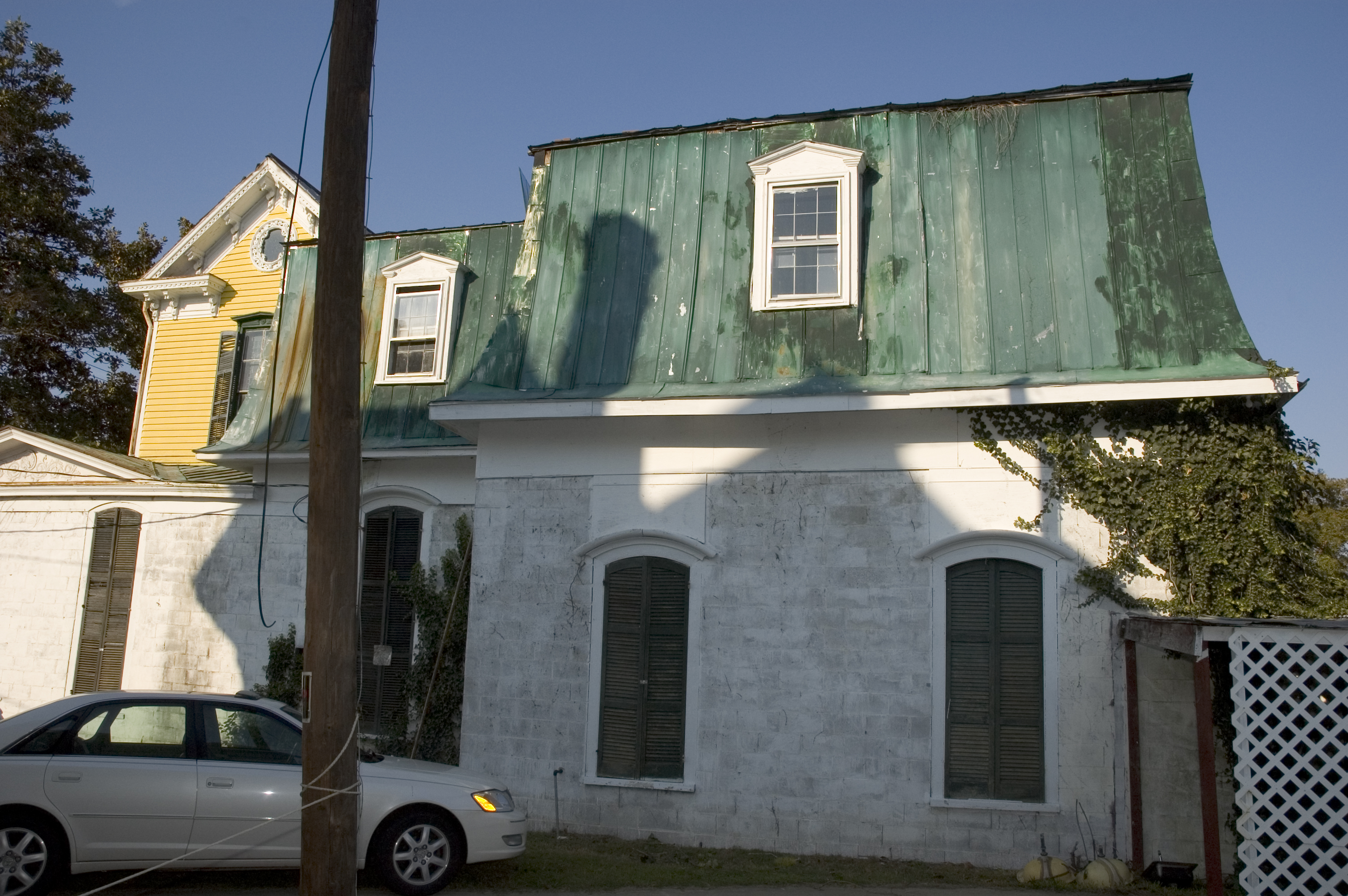
right side view
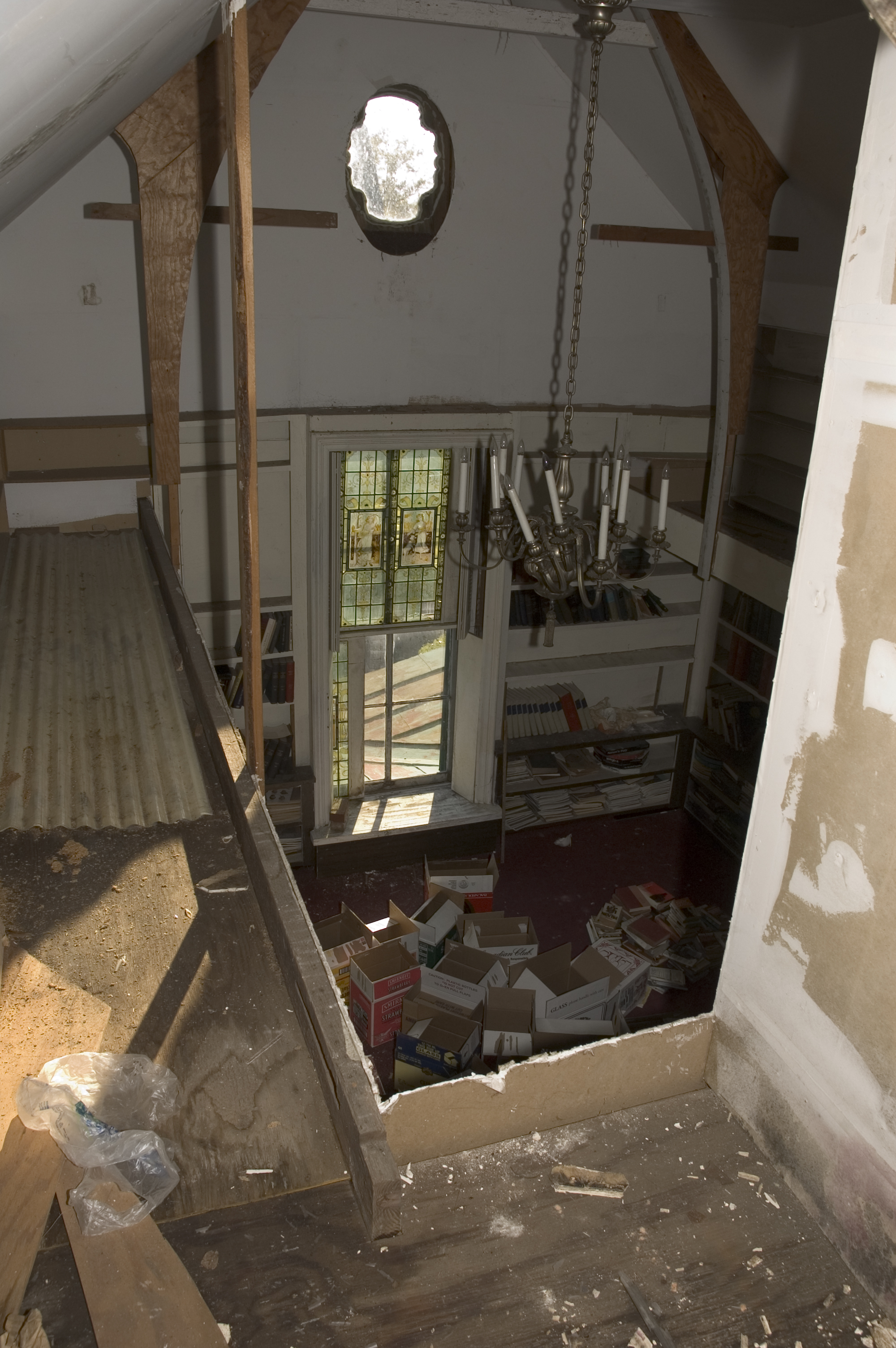
library view from the mezzanine
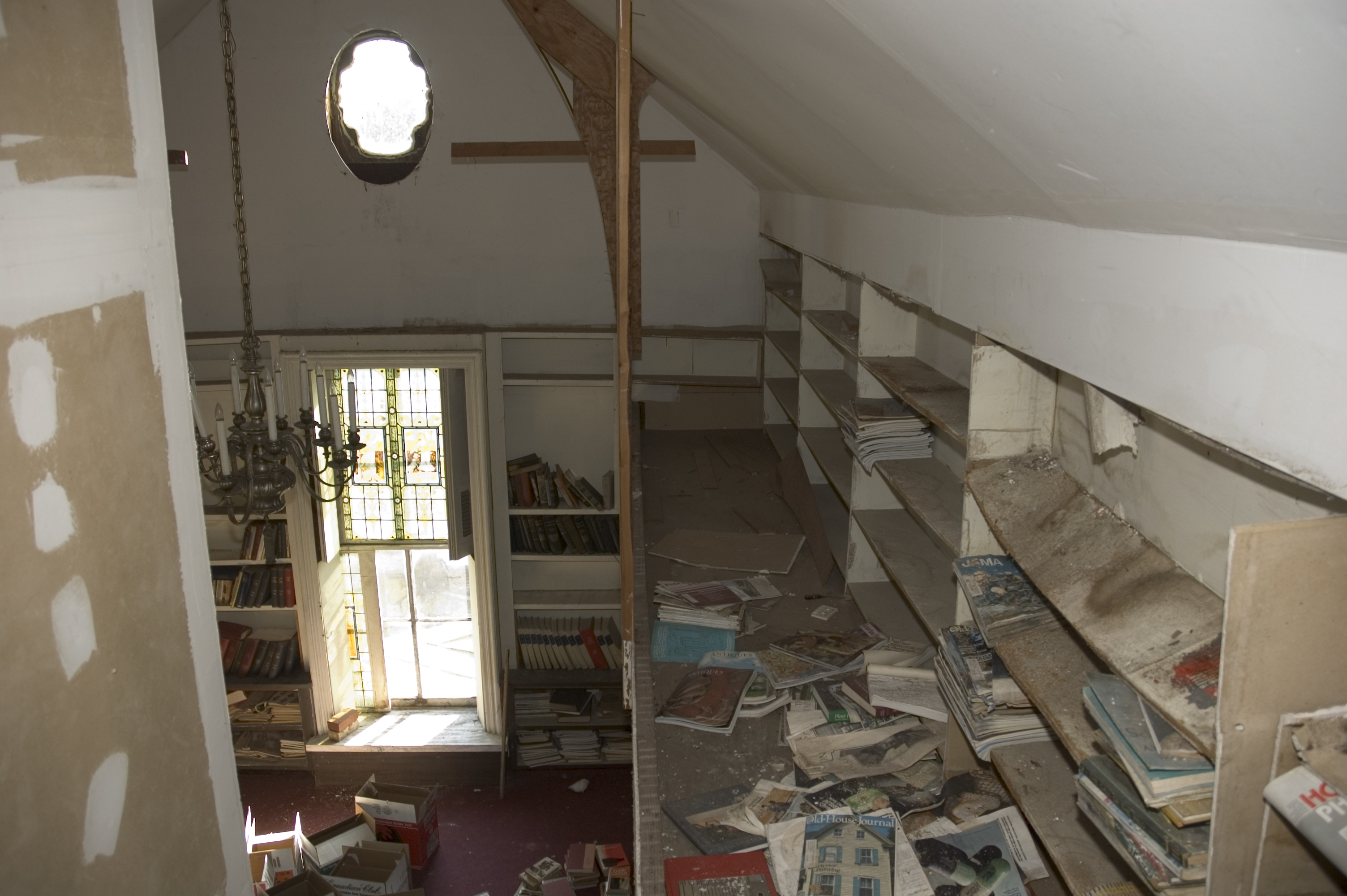
library view from the mezzanine
1571 Goldsboro Img_19724

Rainbow center
Wayne Cotton Mill, Goldsboro, NC
Rail Road Village

Colorful Sunrise
IT'S ELECTRIC

Raindrops - 040513-103635-RGA
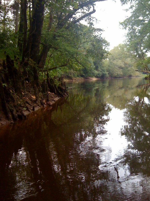
Neuse River - 041513-123441-RGA

Dead Tree.

Frosty Morning
Picture 010
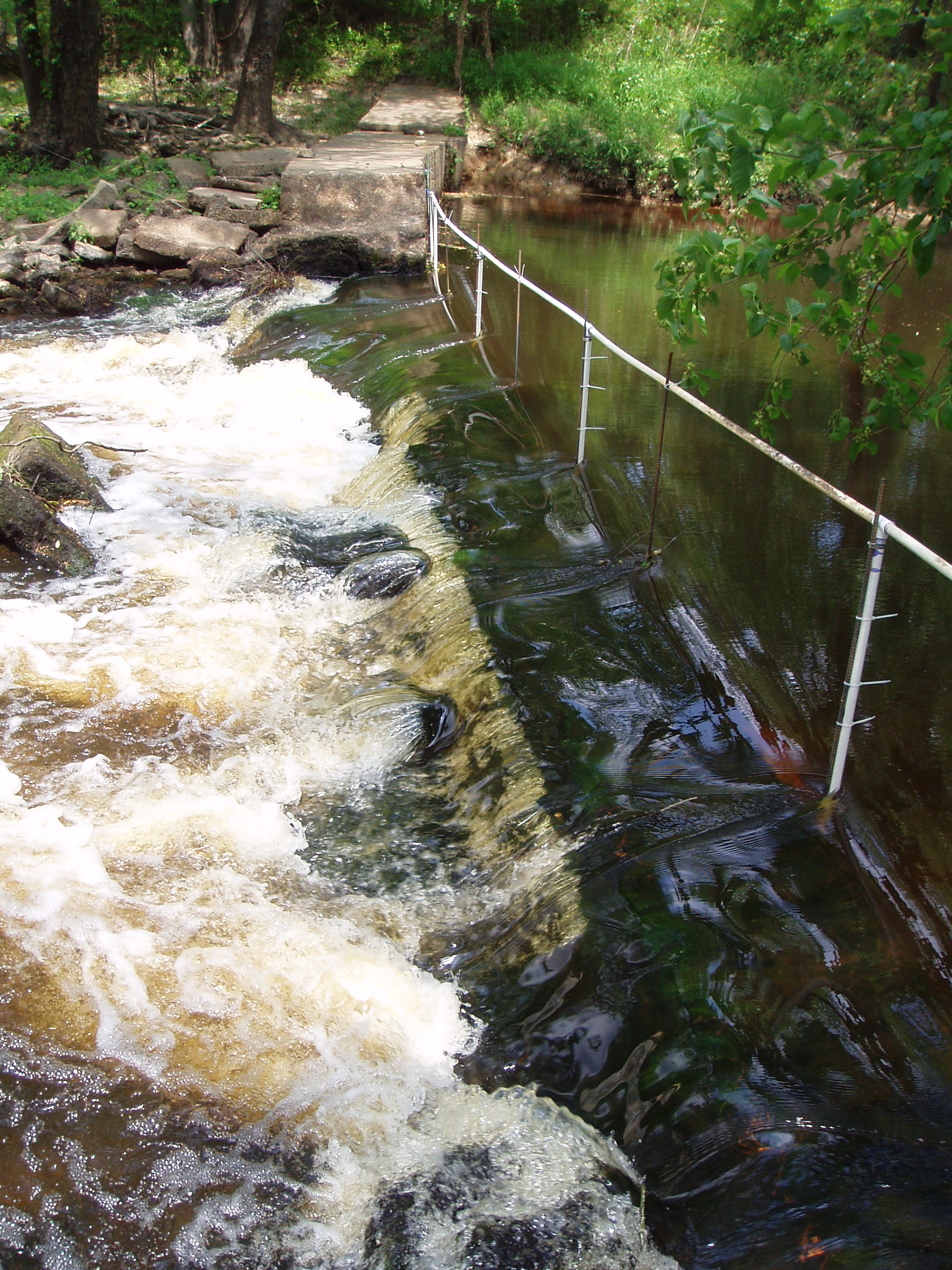
notched dam
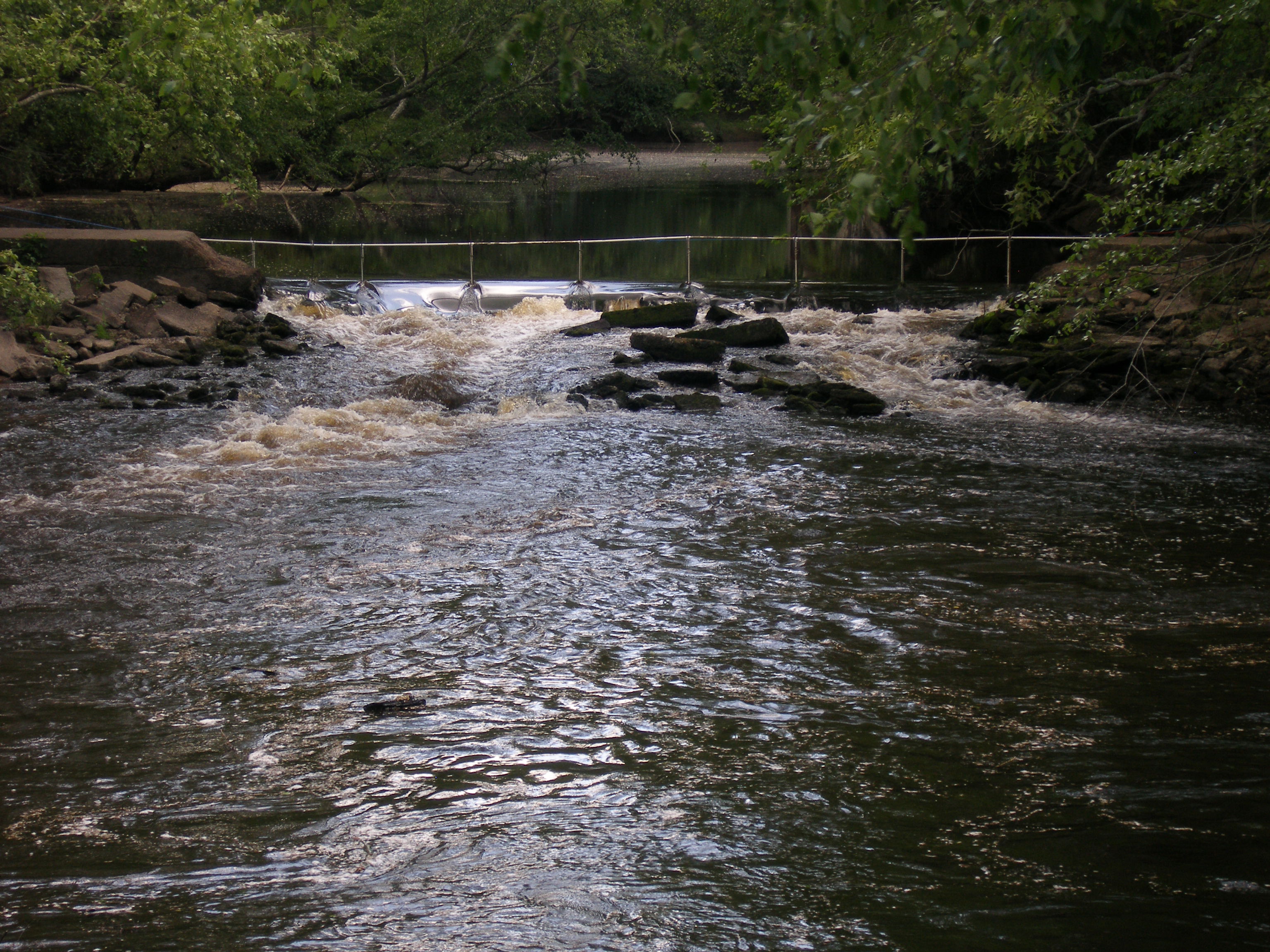
notched dam pit antenna
20151110-RD-LSC-0645
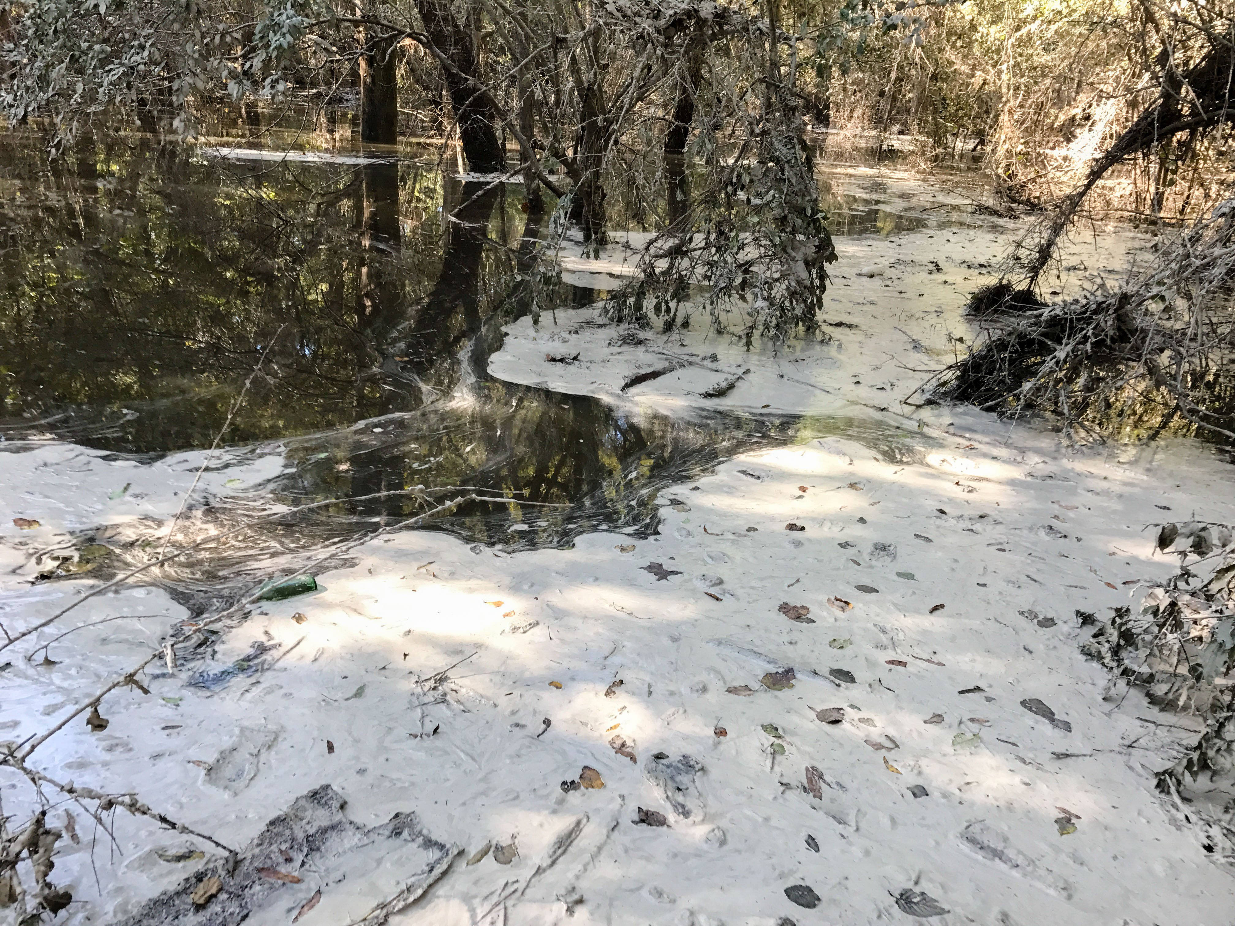
HF Lee Coal Ash Spill Photo 8 - 10.17.16
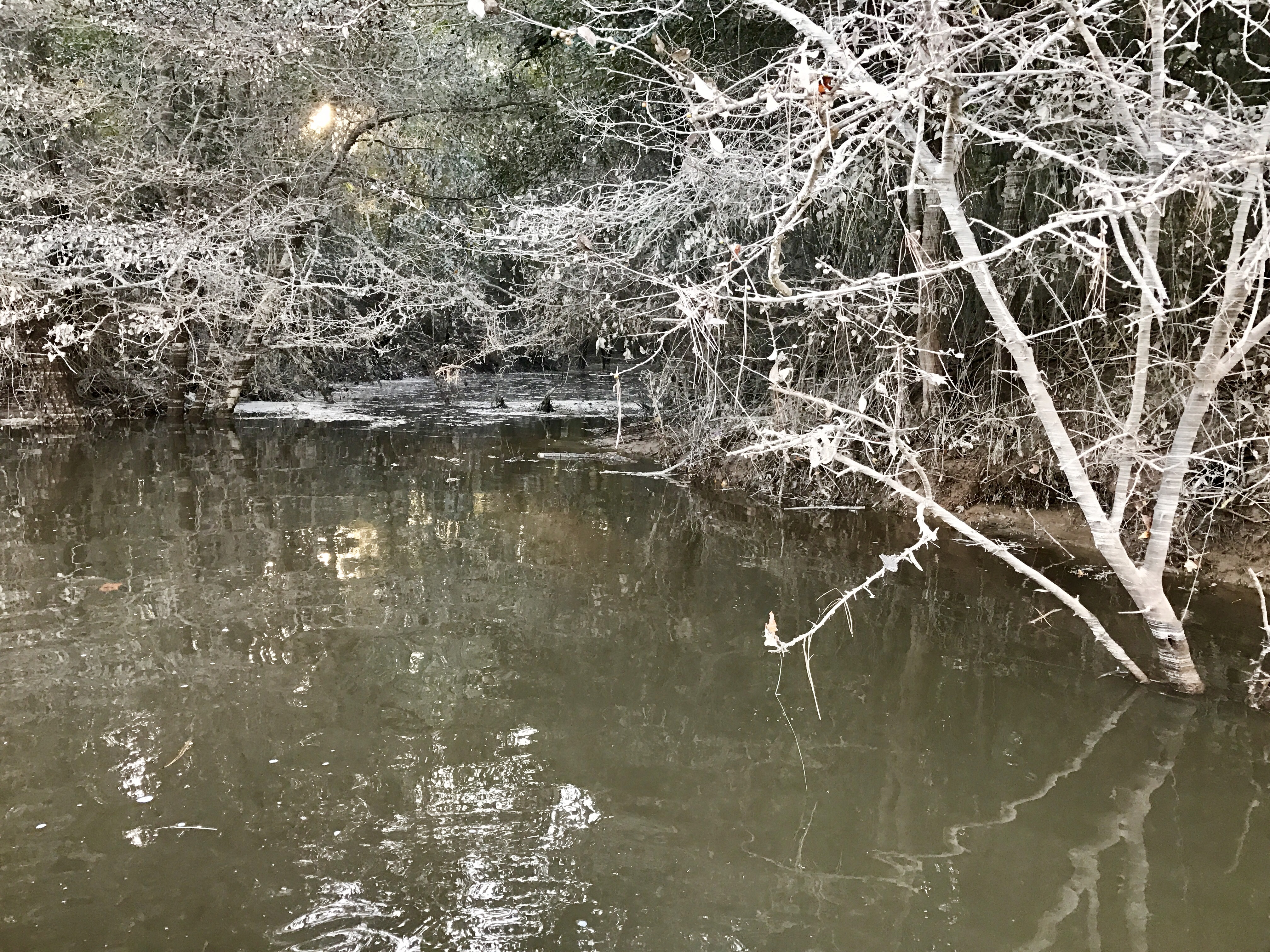
Coal Ash Spill - 10/18/16-2

Britt Farmall
Quick Photos From the Neuse River Expedition

A few quick Neuse River Pictures
Morgan Waypoint 003A

Morgan Waypoint 001A
Topographic Map of Brockwood Ave, Goldsboro, NC, USA
Find elevation by address:

Places near Brockwood Ave, Goldsboro, NC, USA:
114 Ridge Runner Dr
Marcia Dr, Goldsboro, NC, USA
103 Pine Grove Ln
1207 Us Hwy 13 S
201 Grand Oaks Dr
2838 Old Grantham Rd
University Of Mount Olive
Grantham
West James Street
Mount Olive
120 Valley Rd
122 Valley Rd
608 Slapout Rd
66 Julius Sutton Hwy, Mt Olive, NC, USA
3162 Harper House Rd
3182 Harper House Rd
Newton Grove
Newton Grove
1299 Mclamb Rd
Roanoke Rd, Newton Grove, NC, USA
Recent Searches:
- Elevation of Corso Fratelli Cairoli, 35, Macerata MC, Italy
- Elevation of Tallevast Rd, Sarasota, FL, USA
- Elevation of 4th St E, Sonoma, CA, USA
- Elevation of Black Hollow Rd, Pennsdale, PA, USA
- Elevation of Oakland Ave, Williamsport, PA, USA
- Elevation of Pedrógão Grande, Portugal
- Elevation of Klee Dr, Martinsburg, WV, USA
- Elevation of Via Roma, Pieranica CR, Italy
- Elevation of Tavkvetili Mountain, Georgia
- Elevation of Hartfords Bluff Cir, Mt Pleasant, SC, USA