Elevation of Unionville, IA, USA
Location: United States > Iowa > Appanoose County >
Longitude: -92.695470
Latitude: 40.8183488
Elevation: 291m / 955feet
Barometric Pressure: 98KPa
Elevation Map:
Satellite Map:
Related Photos:
They're my blue sky, they're my sunny day
From yesterday's hayrack ride.
Autumn Armour in Iowa
It was a hot day to tour an Amish farm.
IMG_12147.JPG
IMG_12158.JPG
IMG_12161.JPG
IMG_12160.JPG
IMG_12152.JPG
IMG_12166.JPG
IMG_12159.JPG
IMG_12151.JPG
IMG_12165.JPG
IMG_12153.JPG
IMG_12175.JPG
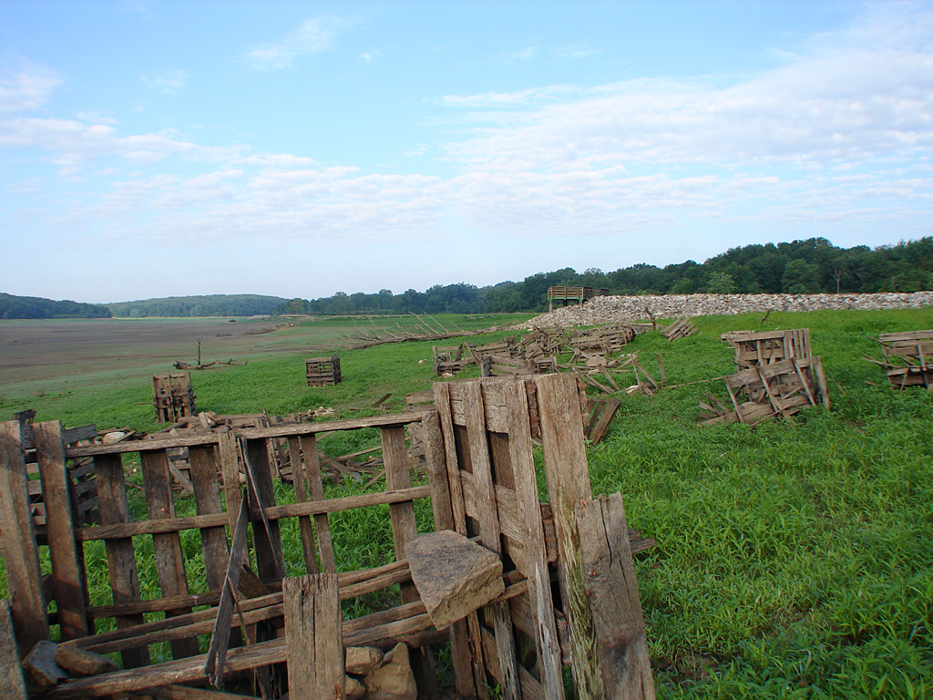
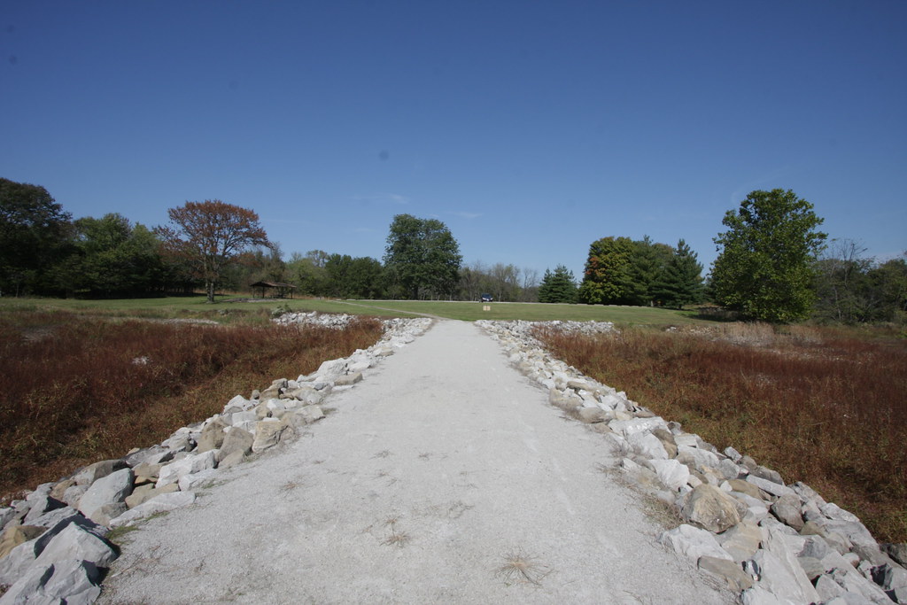
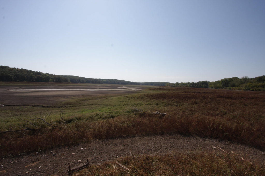
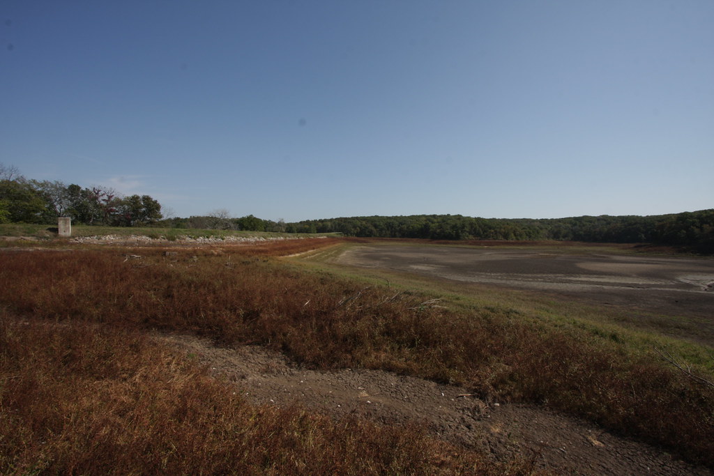
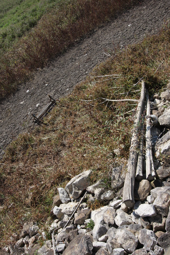
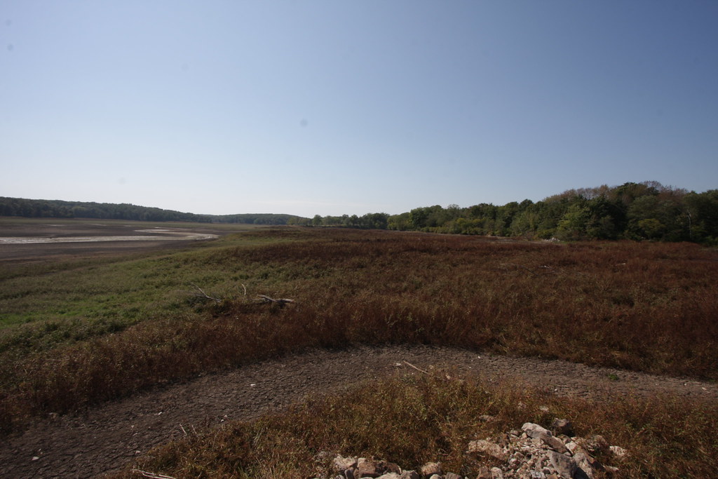
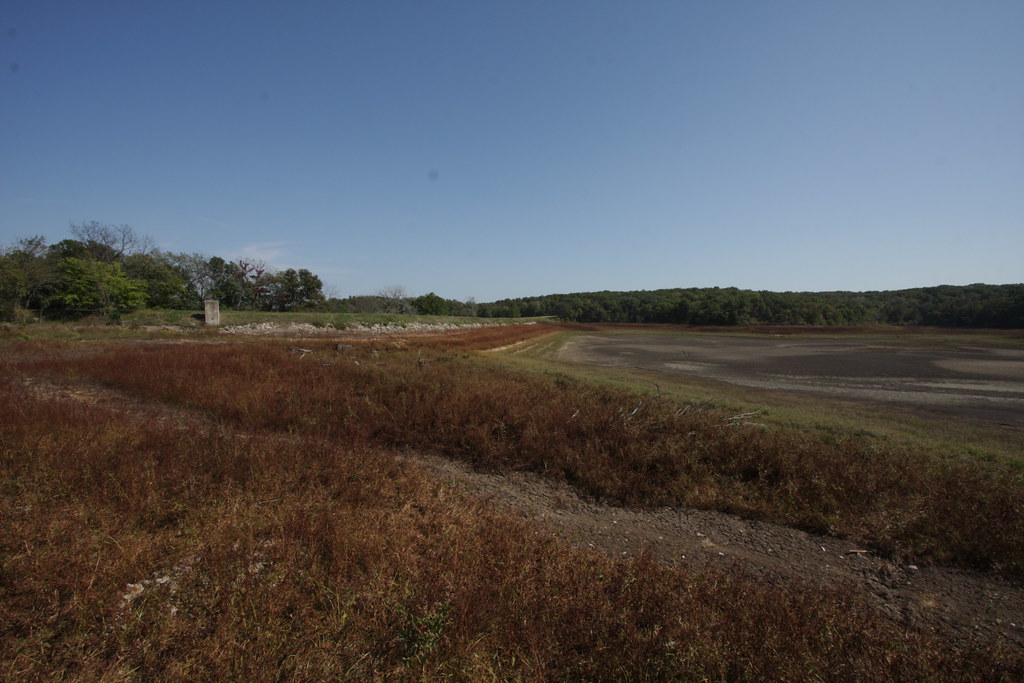
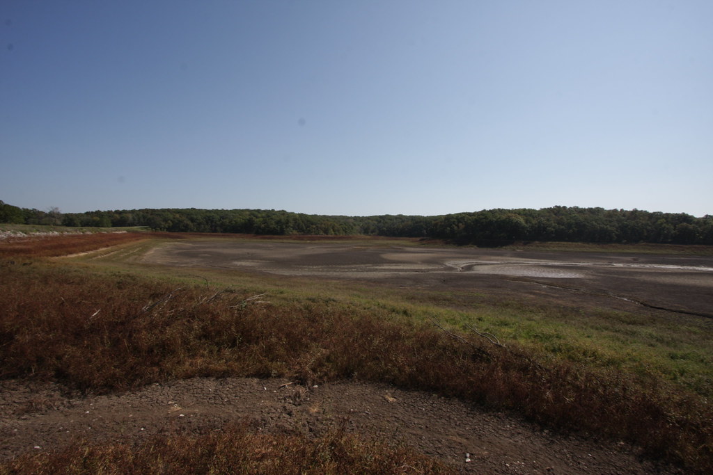
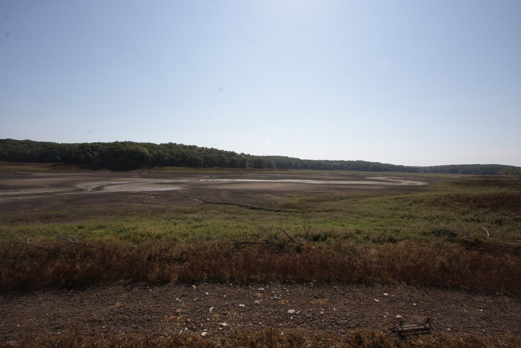
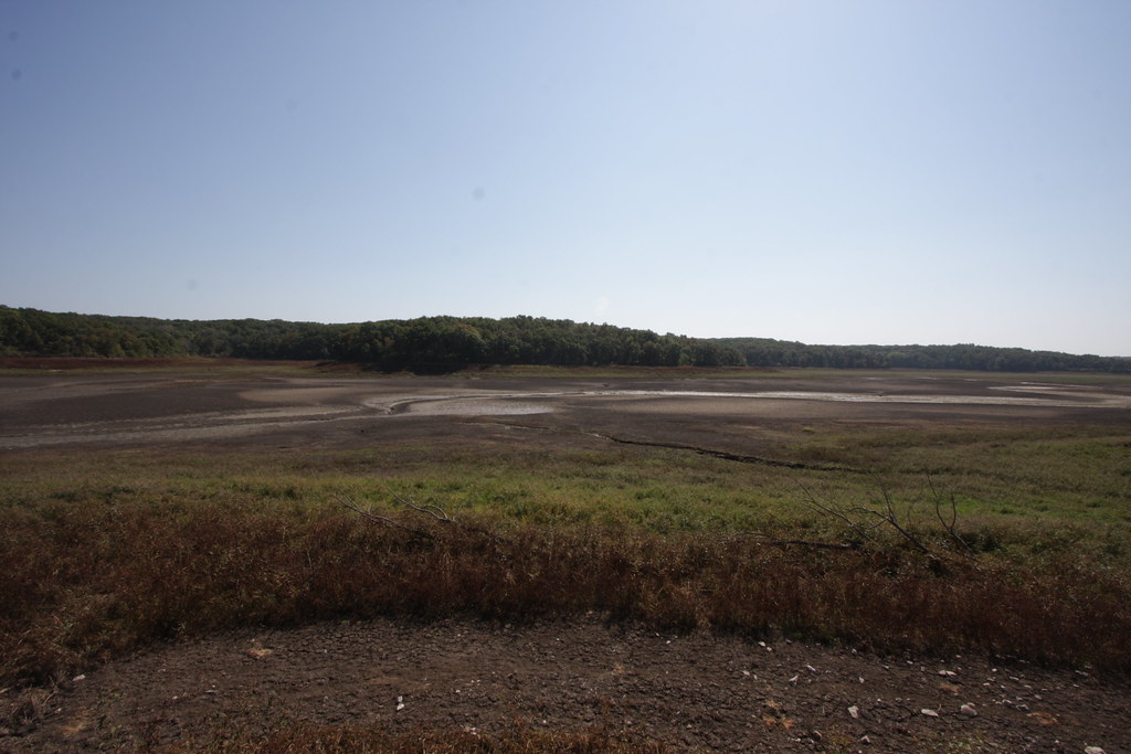
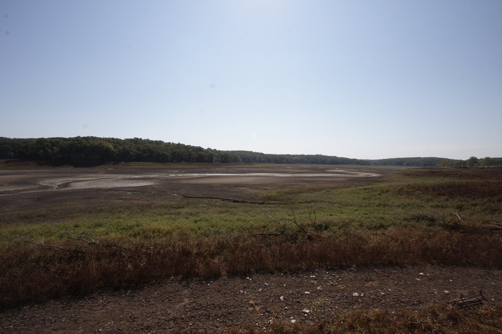
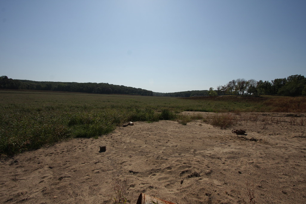
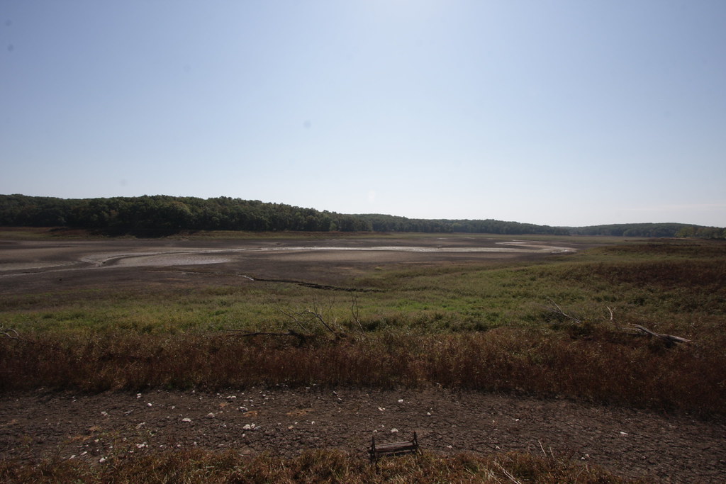
Fish Structures in Drained Lake
IMG_12170.JPG
IMG_12156.JPG
IMG_12154.JPG
IMG_12155.JPG
IMG_12176.JPG
IMG_12157.JPG
Topographic Map of Unionville, IA, USA
Find elevation by address:

Places in Unionville, IA, USA:
Places near Unionville, IA, USA:
South St, Unionville, IA, USA
Taylor
7032 201st St
Mantua
Troy
Polk
217 C St S
Albia
20751 105th St
20495 105th St
Cass
18781 125th St
12390 Copperhead Rd
Center
Abs Fire Equipment Inc. Dba Summit Companies
N Sheridan Ave, Ottumwa, IA, USA
Ottumwa
521 N 5th St
Ottumwa High School
517 Camille St
Recent Searches:
- Elevation of Corso Fratelli Cairoli, 35, Macerata MC, Italy
- Elevation of Tallevast Rd, Sarasota, FL, USA
- Elevation of 4th St E, Sonoma, CA, USA
- Elevation of Black Hollow Rd, Pennsdale, PA, USA
- Elevation of Oakland Ave, Williamsport, PA, USA
- Elevation of Pedrógão Grande, Portugal
- Elevation of Klee Dr, Martinsburg, WV, USA
- Elevation of Via Roma, Pieranica CR, Italy
- Elevation of Tavkvetili Mountain, Georgia
- Elevation of Hartfords Bluff Cir, Mt Pleasant, SC, USA