Elevation of Mantua, IA, USA
Location: United States > Iowa > Monroe County >
Longitude: -92.678509
Latitude: 41.028546
Elevation: 225m / 738feet
Barometric Pressure: 99KPa
Elevation Map:
Satellite Map:
Related Photos:

CP 7020 - 474 - Blakesburg IA

UPY 701 - UP 1906 - LNM44 - Eddyville IA

UP 519 - Eddyville IA

GN 2568 - Albia IA

BNSF 4150 - 674 - Ottumwa IA

BNSF 649 - NREX 5952 - DMO - Albia IA

They're my blue sky, they're my sunny day

CP 1401 - 40B-12 - Moravia IA

UCEX Hoppers - Albia IA

BNSF 8536 - 674 - Moravia IA

WQMDMO at Albia IA

Autumn Armour in Iowa

475 cutting through Wapello County

Soap Creek Watershed Tour
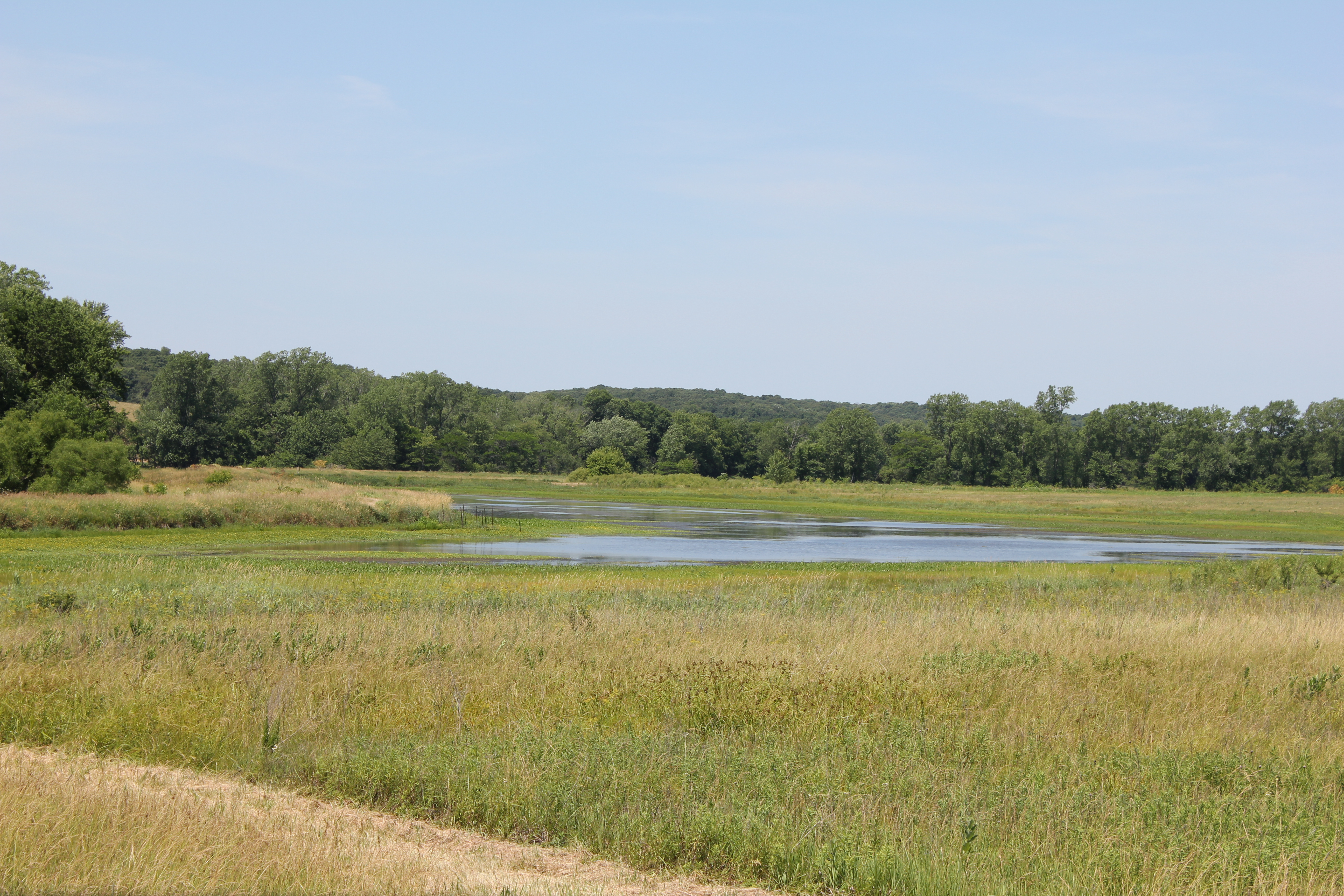
Soap Creek Wetlands

BNSF 1546

Sunset rays

Maggie's shot of Queen Anne's Lace

Fast as the Wind
Topographic Map of Mantua, IA, USA
Find elevation by address:

Places near Mantua, IA, USA:
7032 201st St
Polk
Troy
20751 105th St
20495 105th St
Albia
217 C St S
Cass
18781 125th St
2178 310th St
East Des Moines
Taylor
Unionville
South St, Unionville, IA, USA
Center
Cedar
Abs Fire Equipment Inc. Dba Summit Companies
N Sheridan Ave, Ottumwa, IA, USA
521 N 5th St
Oskaloosa
Recent Searches:
- Elevation of Corso Fratelli Cairoli, 35, Macerata MC, Italy
- Elevation of Tallevast Rd, Sarasota, FL, USA
- Elevation of 4th St E, Sonoma, CA, USA
- Elevation of Black Hollow Rd, Pennsdale, PA, USA
- Elevation of Oakland Ave, Williamsport, PA, USA
- Elevation of Pedrógão Grande, Portugal
- Elevation of Klee Dr, Martinsburg, WV, USA
- Elevation of Via Roma, Pieranica CR, Italy
- Elevation of Tavkvetili Mountain, Georgia
- Elevation of Hartfords Bluff Cir, Mt Pleasant, SC, USA