Elevation of Uncheon-ri, Yeongbuk-myeon, Pocheon-si, Gyeonggi-do, South Korea
Location: South Korea > Gyeonggi-do >
Longitude: 127.282047
Latitude: 38.0813188
Elevation: 167m / 548feet
Barometric Pressure: 99KPa
Elevation Map:
Satellite Map:
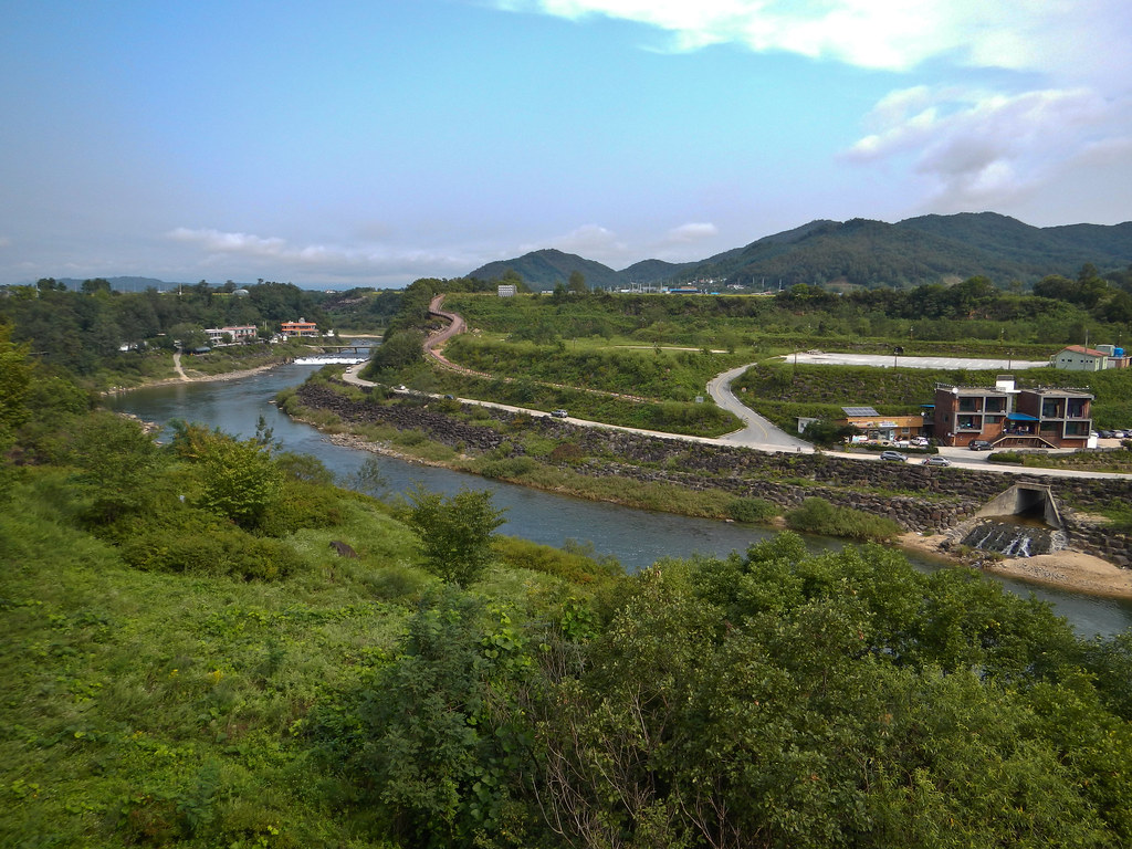
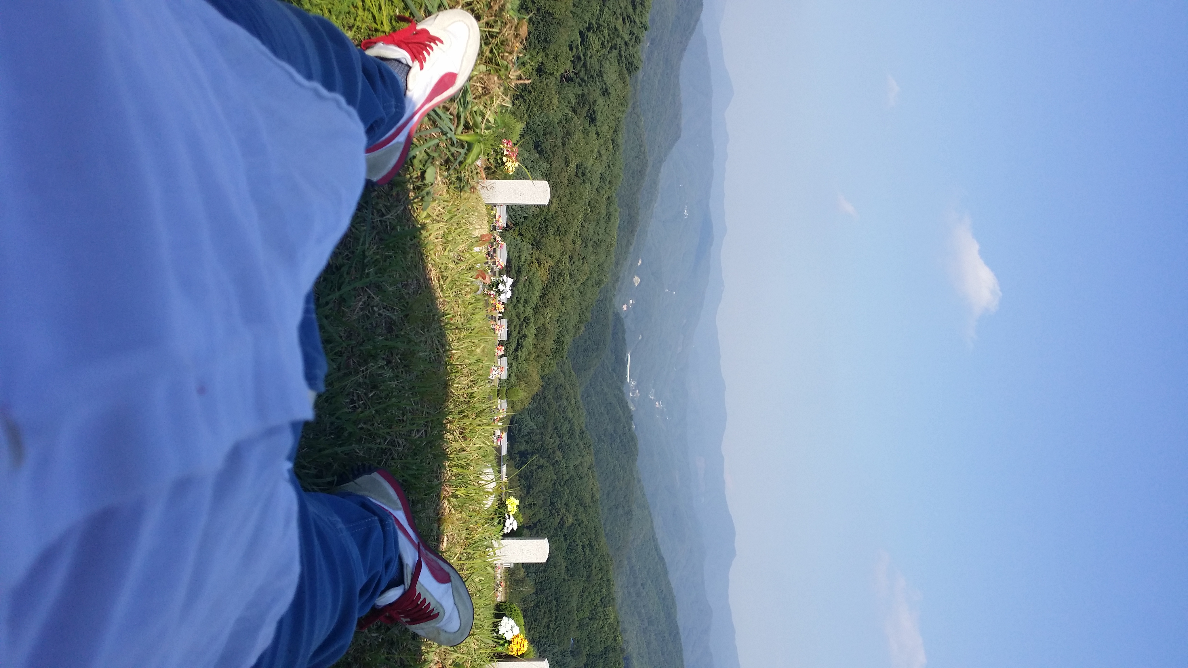
Related Photos:
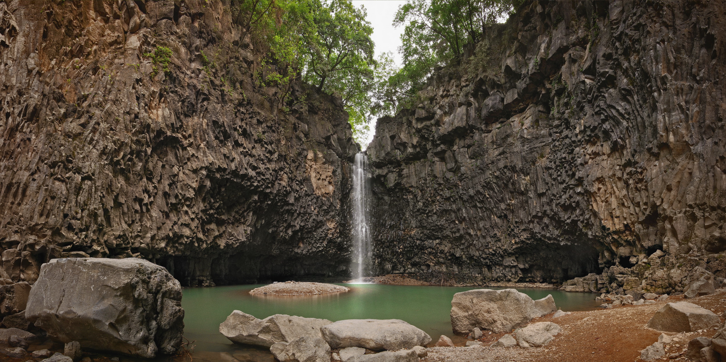
Jaein waterfall
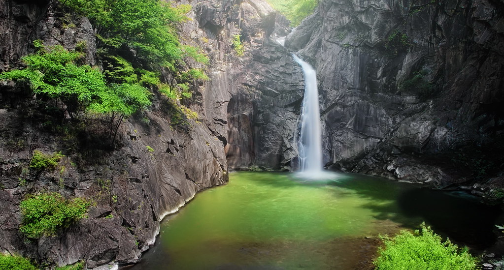
Sambuyeon waterfall
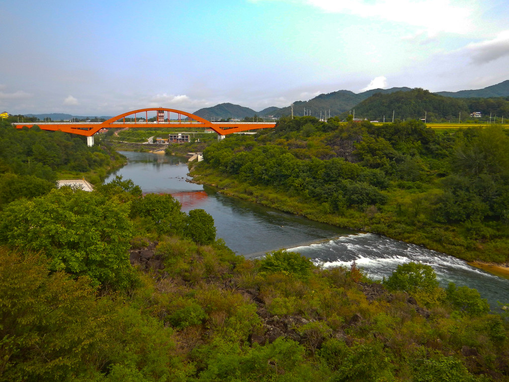
DMZ 10k
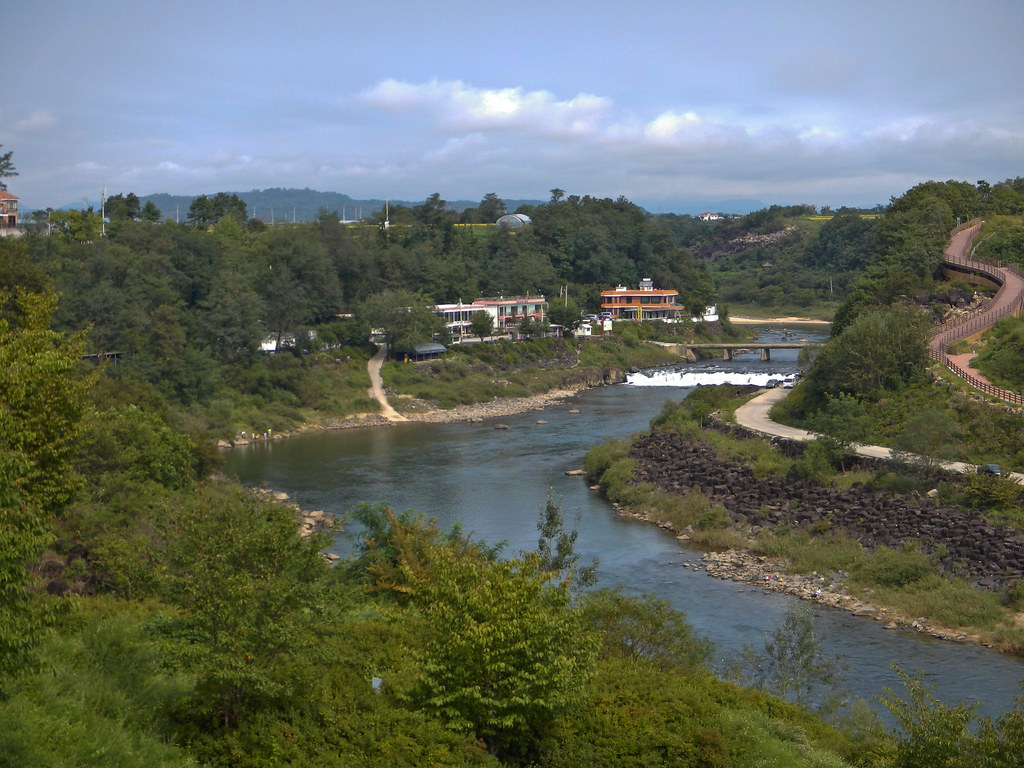
DMZ 10k

재인폭포

October 25, 2014 herb village and Goseokjeong
DMZ 10k

재인폭포
20140906_160457_서면

export_20120803091654-4
Topographic Map of Uncheon-ri, Yeongbuk-myeon, Pocheon-si, Gyeonggi-do, South Korea
Find elevation by address:

Places near Uncheon-ri, Yeongbuk-myeon, Pocheon-si, Gyeonggi-do, South Korea:
Recent Searches:
- Elevation of Corso Fratelli Cairoli, 35, Macerata MC, Italy
- Elevation of Tallevast Rd, Sarasota, FL, USA
- Elevation of 4th St E, Sonoma, CA, USA
- Elevation of Black Hollow Rd, Pennsdale, PA, USA
- Elevation of Oakland Ave, Williamsport, PA, USA
- Elevation of Pedrógão Grande, Portugal
- Elevation of Klee Dr, Martinsburg, WV, USA
- Elevation of Via Roma, Pieranica CR, Italy
- Elevation of Tavkvetili Mountain, Georgia
- Elevation of Hartfords Bluff Cir, Mt Pleasant, SC, USA