Elevation of Munchon, Kangwon, North Korea
Location: North Korea > Kangwon >
Longitude: 127.345301
Latitude: 39.2658707
Elevation: 27m / 89feet
Barometric Pressure: 101KPa
Elevation Map:
Satellite Map:
Related Photos:
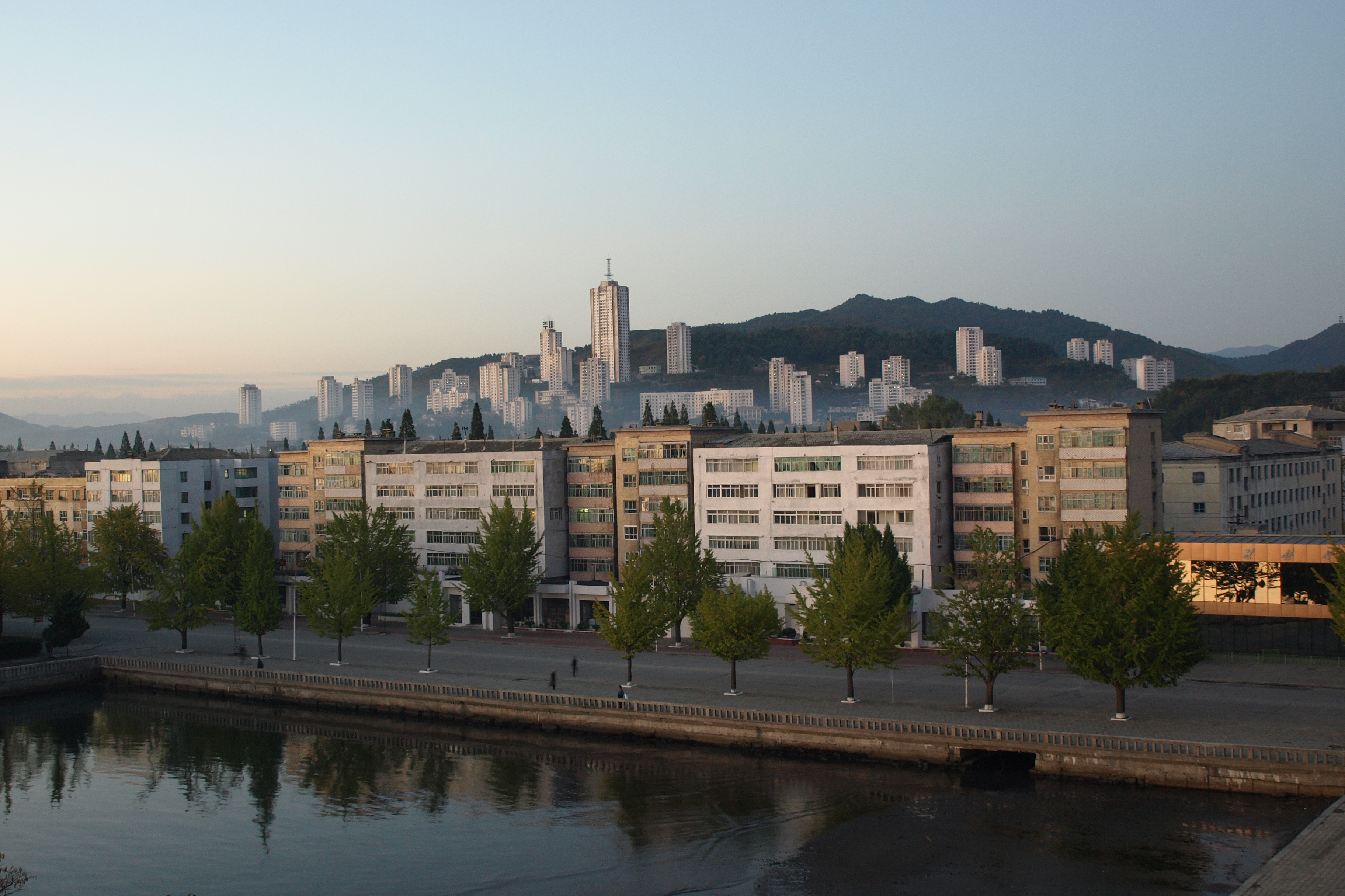
Wonsan waterfront
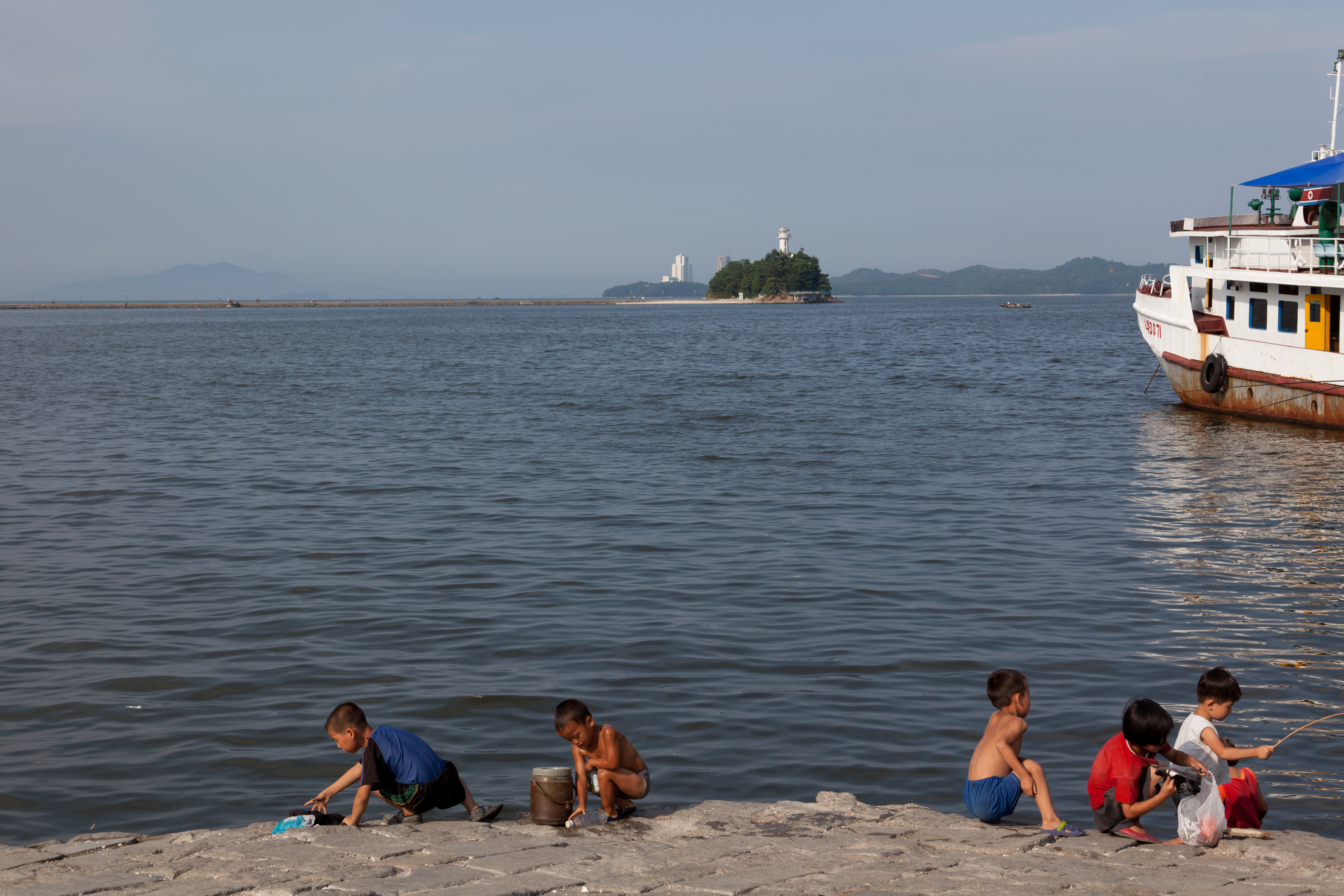
Children Fishing - Wonsan
North Korea trip from Pyongyang to Mount Kumgang
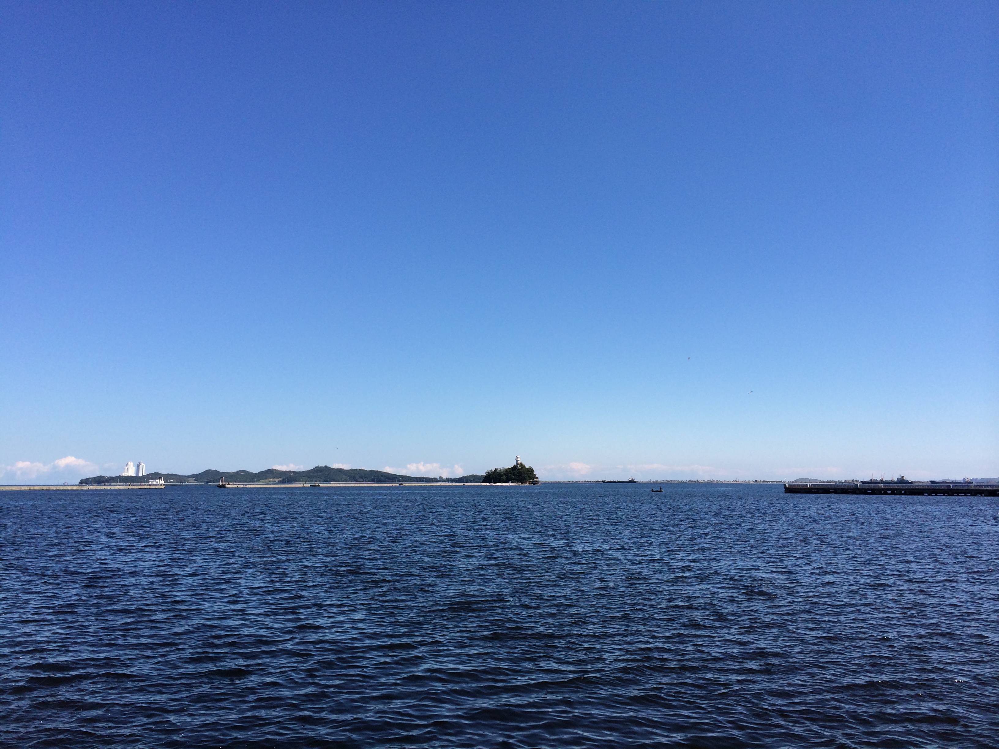
Chok islet pier
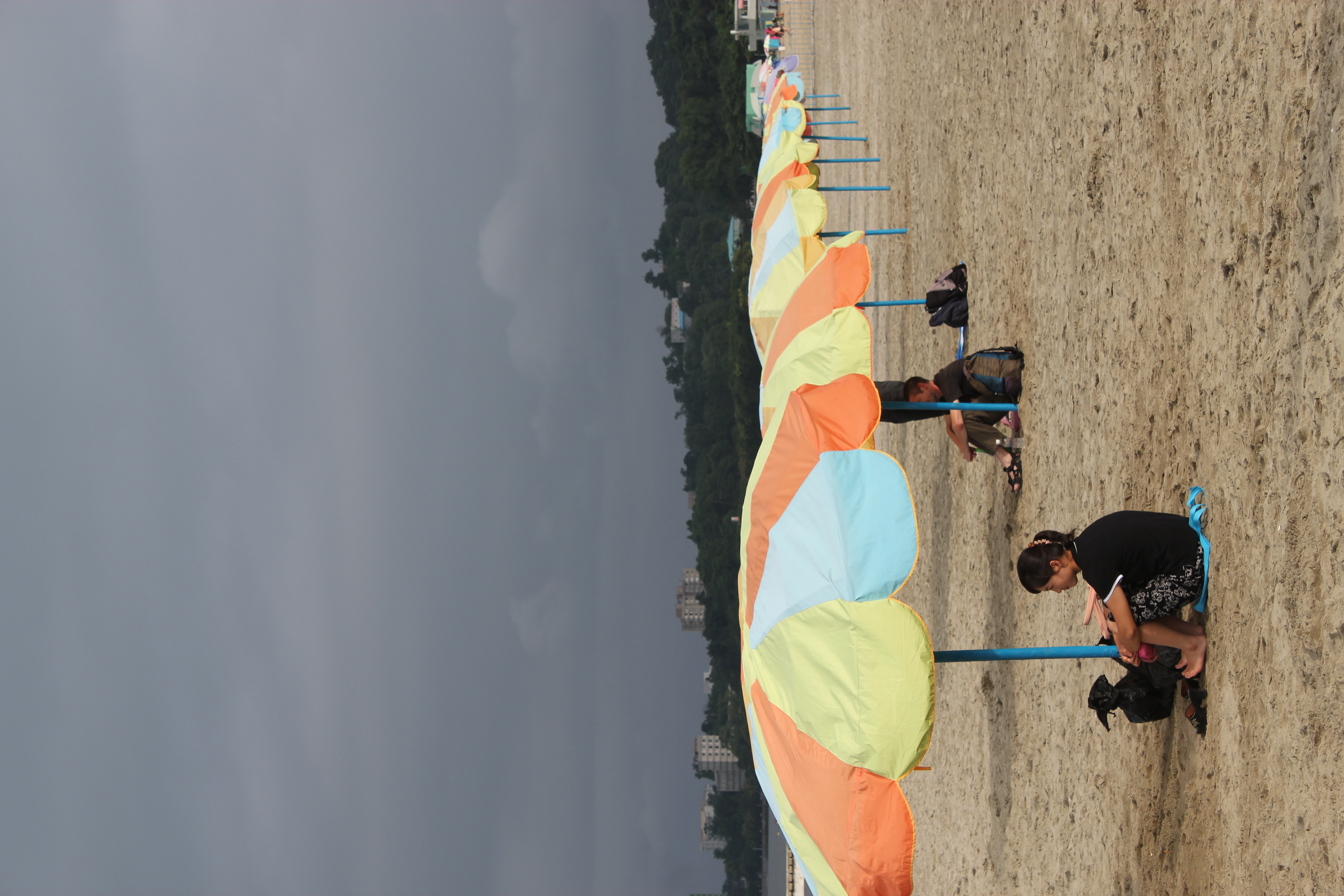
Songdowon Beach
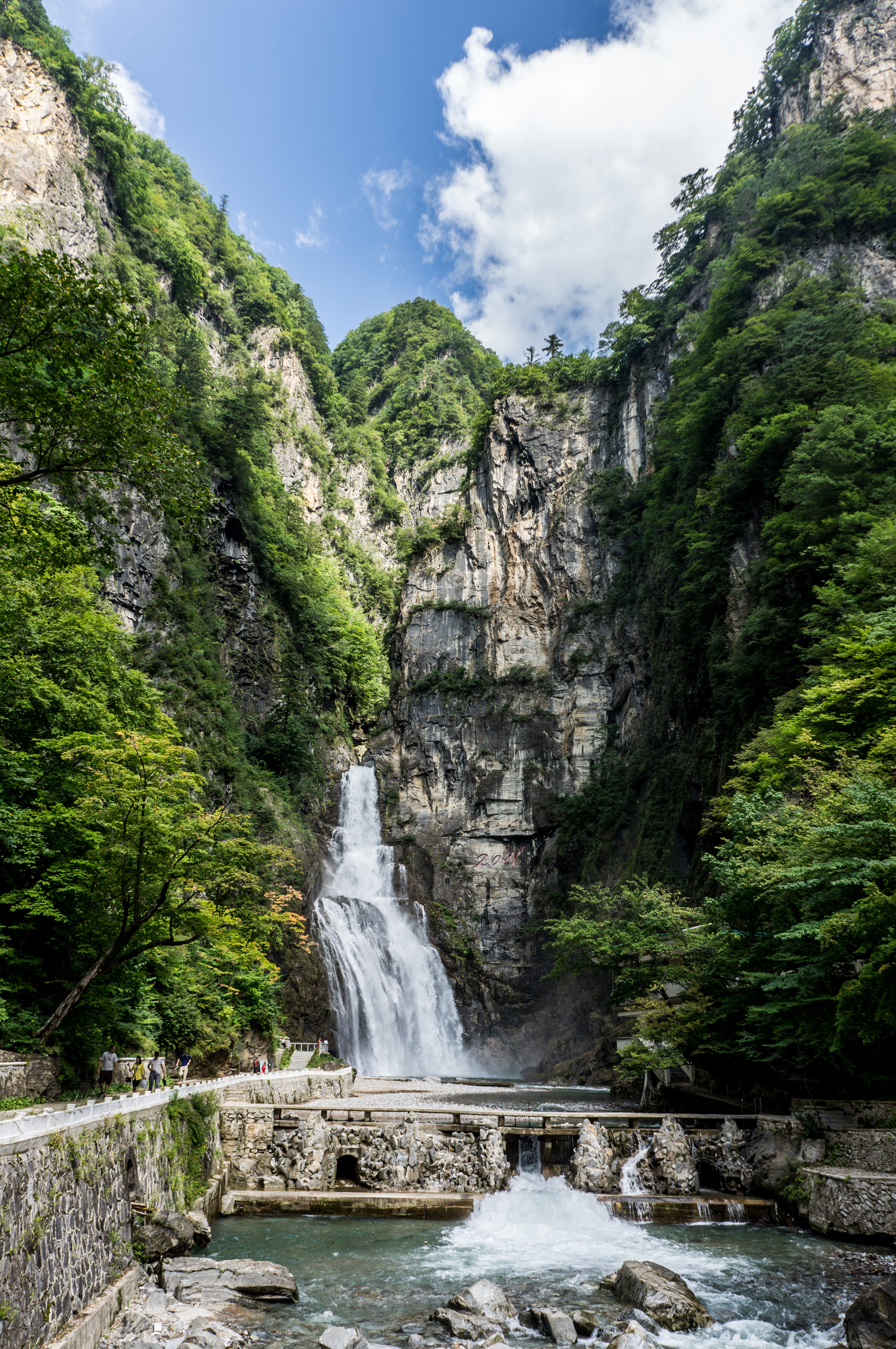
Ulim Waterfalls

Korean Family BBQ Picnic

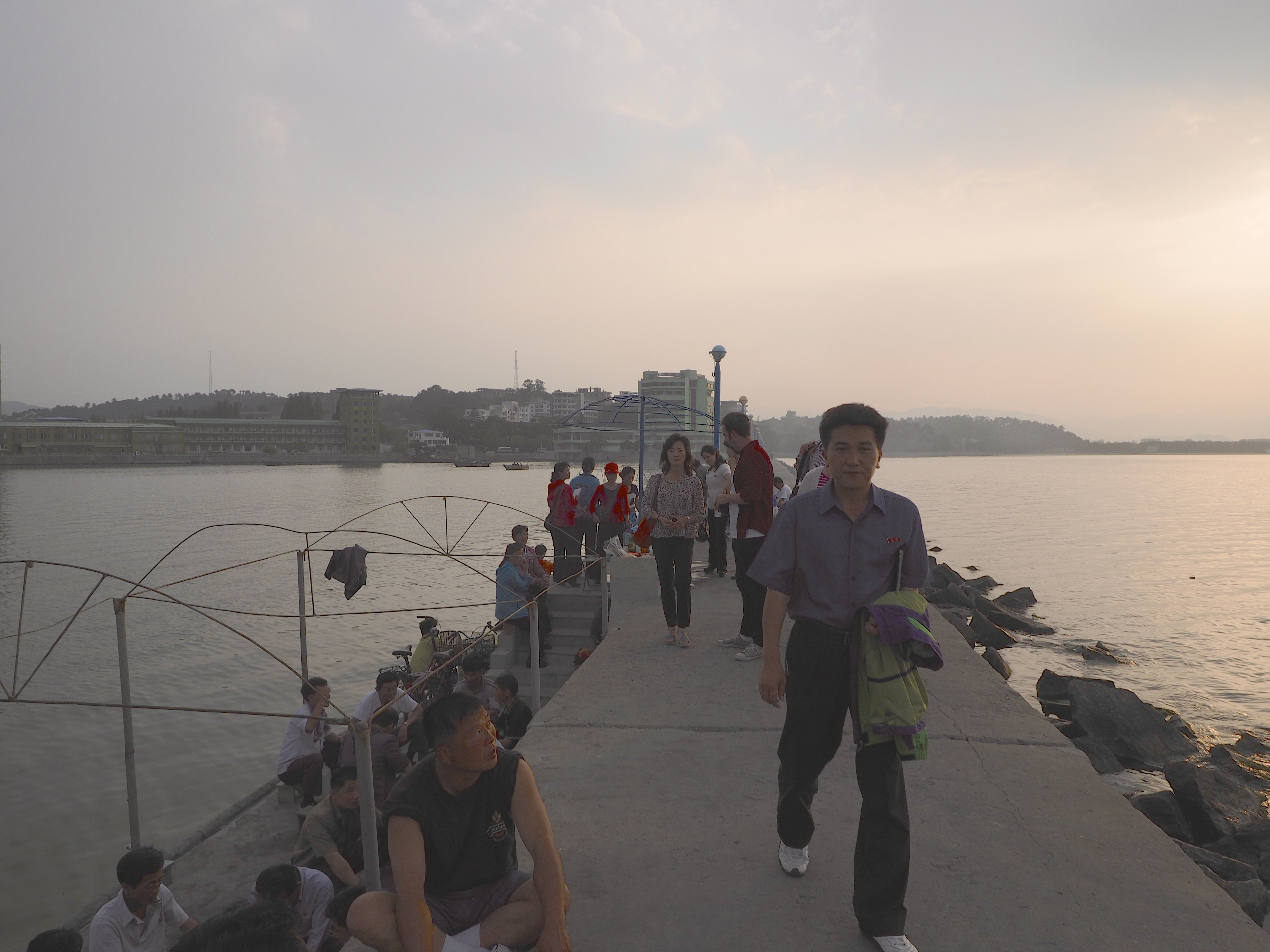
Wonsan Pier, Fishermen

Falling dive

Wŏnsan, North Korea.

Songdowon International Children’s Camp, North Korea
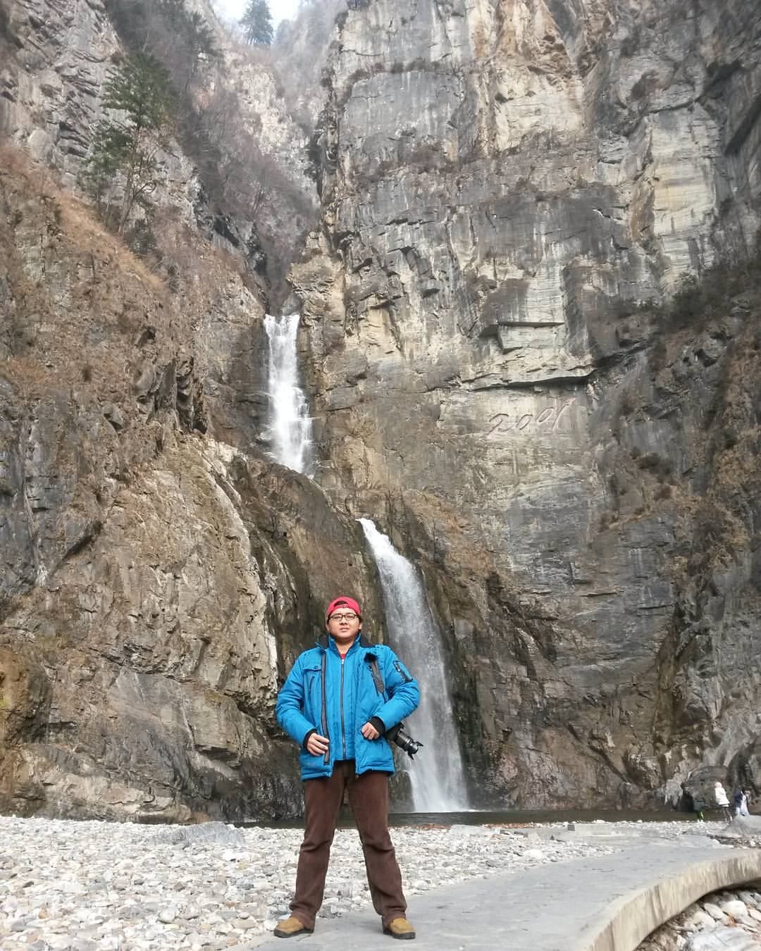
Ullim Waterfall (울림 폭포/Echo Waterfall), Height 75m, located in Tonghung-ri, Chonnae county, Muncheon city, Kangwon province, 220 km from Pyongyang and 35 km from Wonsan city. #ullimwaterfall #northkorea #dprk #korea #koreautara #photography #fotografi #tr

Where the light is needed
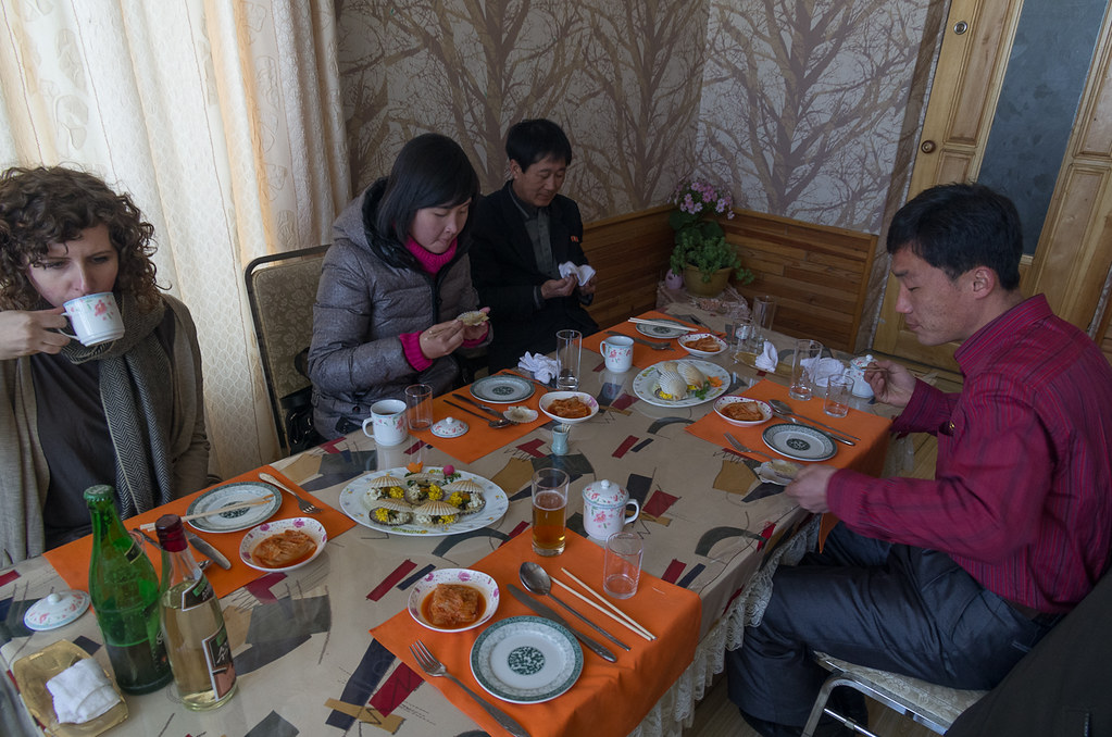
Lunch in Wonsan
Topographic Map of Munchon, Kangwon, North Korea
Find elevation by address:

Places near Munchon, Kangwon, North Korea:
Recent Searches:
- Elevation of Corso Fratelli Cairoli, 35, Macerata MC, Italy
- Elevation of Tallevast Rd, Sarasota, FL, USA
- Elevation of 4th St E, Sonoma, CA, USA
- Elevation of Black Hollow Rd, Pennsdale, PA, USA
- Elevation of Oakland Ave, Williamsport, PA, USA
- Elevation of Pedrógão Grande, Portugal
- Elevation of Klee Dr, Martinsburg, WV, USA
- Elevation of Via Roma, Pieranica CR, Italy
- Elevation of Tavkvetili Mountain, Georgia
- Elevation of Hartfords Bluff Cir, Mt Pleasant, SC, USA