Elevation of Ujina, Pica, Región de Tarapacá, Chile
Location: Chile > Tarapacá Region > Tamarugal > Pica >
Longitude: -68.6
Latitude: -20.9833
Elevation: 4191m / 13750feet
Barometric Pressure: 60KPa
Elevation Map:
Satellite Map:
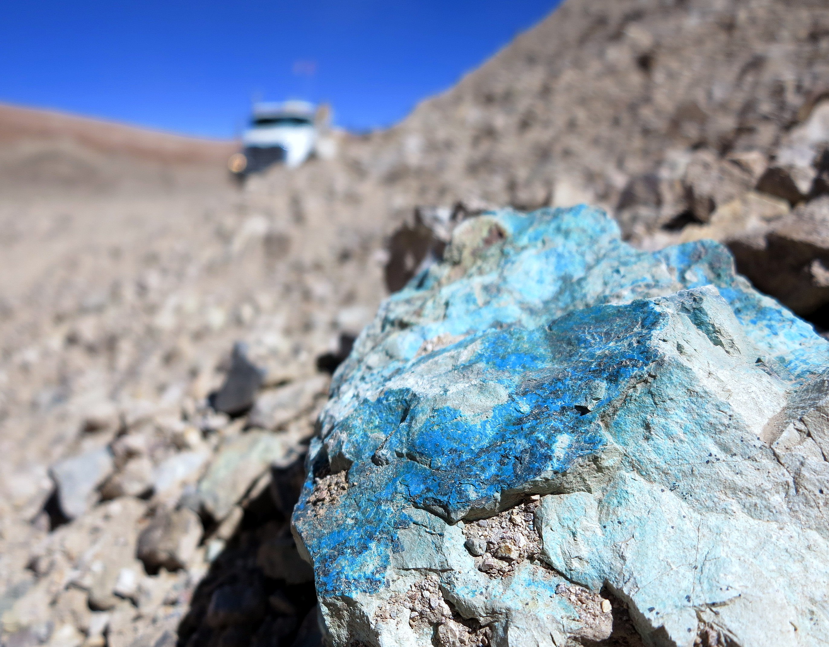
Related Photos:

Un café y continuamos, solo queda una noche más y de vuelta a casa...

Se largo el mal tiempo altiplanico por estos lados!!!!
.

Liolaemus cf. pantherinus_female
Topographic Map of Ujina, Pica, Región de Tarapacá, Chile
Find elevation by address:

Places near Ujina, Pica, Región de Tarapacá, Chile:
San Pedro De Quemes
Hotel Tayka De Piedra
San Pedro De Quemes
Nor Lípez
Daniel Campos
San Juan
Colcha "k"
Jamuy Salt Hostel
Isla Incahuasi
Uyuni
Tayka De Sal
Tahua
Tunupa Volcano
Jirira
Recent Searches:
- Elevation of Corso Fratelli Cairoli, 35, Macerata MC, Italy
- Elevation of Tallevast Rd, Sarasota, FL, USA
- Elevation of 4th St E, Sonoma, CA, USA
- Elevation of Black Hollow Rd, Pennsdale, PA, USA
- Elevation of Oakland Ave, Williamsport, PA, USA
- Elevation of Pedrógão Grande, Portugal
- Elevation of Klee Dr, Martinsburg, WV, USA
- Elevation of Via Roma, Pieranica CR, Italy
- Elevation of Tavkvetili Mountain, Georgia
- Elevation of Hartfords Bluff Cir, Mt Pleasant, SC, USA