Elevation of Hotel Tayka de Piedra, San Pedro de Quemes, Bolivia
Location: Bolivia > Potosi Department > Nor Lípez > San Pedro De Quemes >
Longitude: -68.052843
Latitude: -20.747522
Elevation: 3709m / 12169feet
Barometric Pressure: 64KPa
Elevation Map:
Satellite Map:
Related Photos:
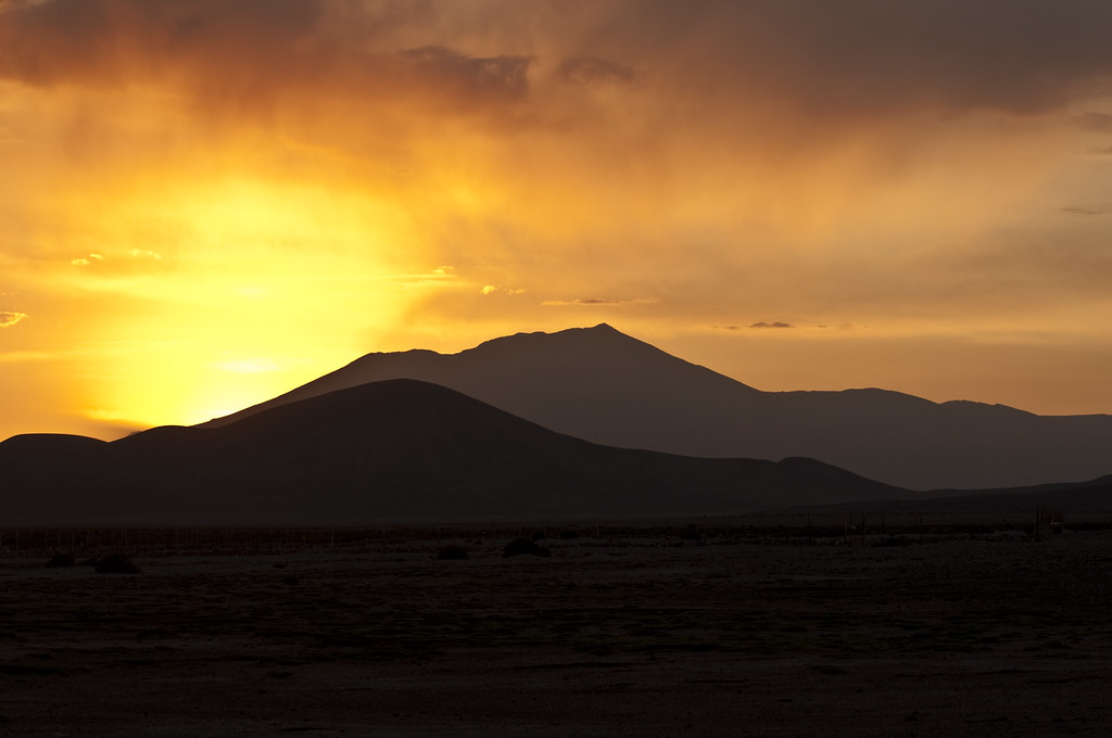
Sunset in the Desert II
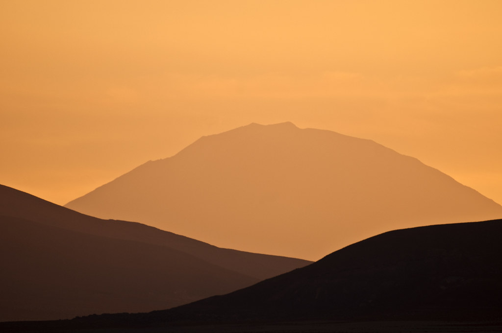
Minimal Sunset
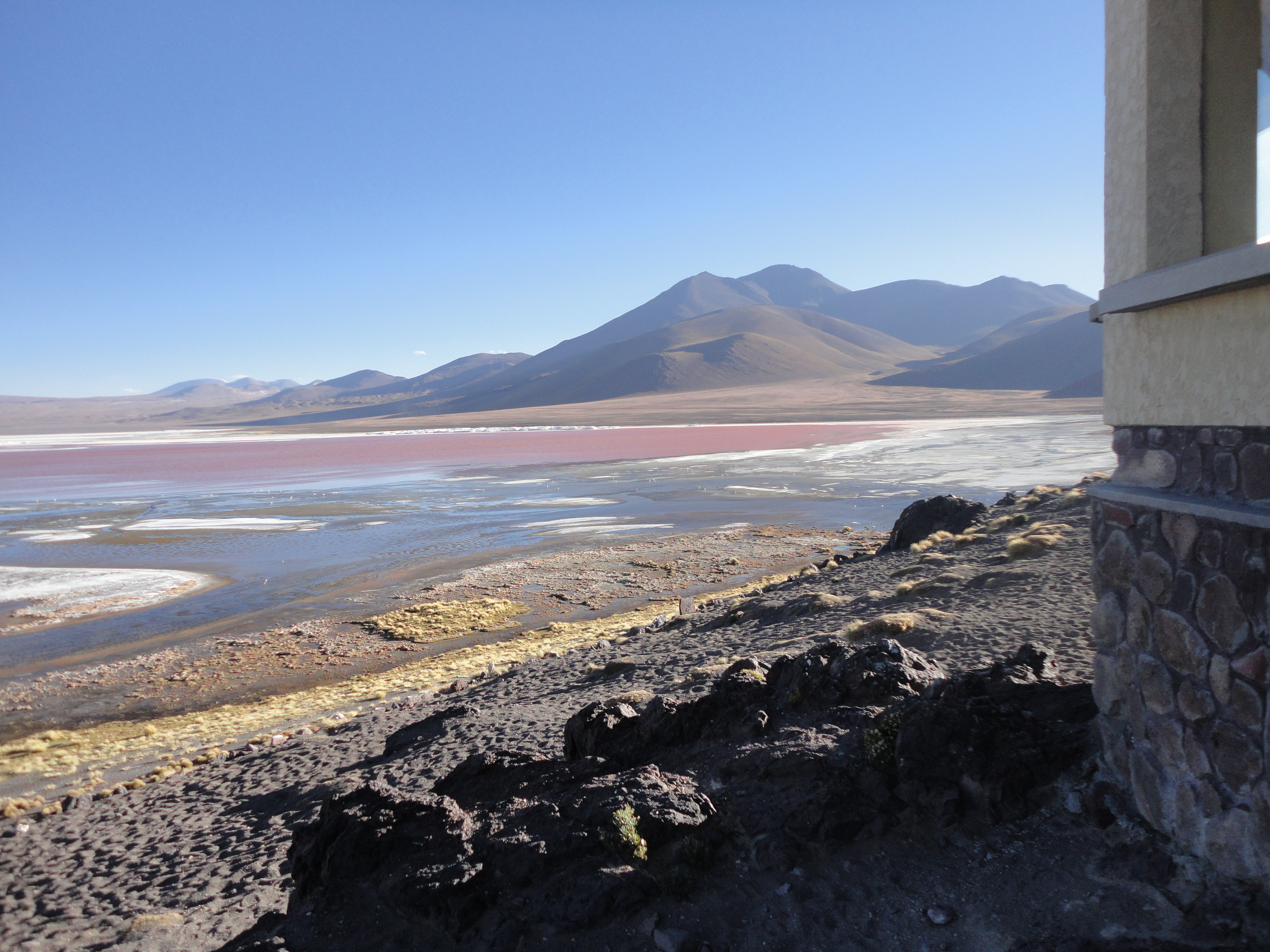
Laguna Colorada
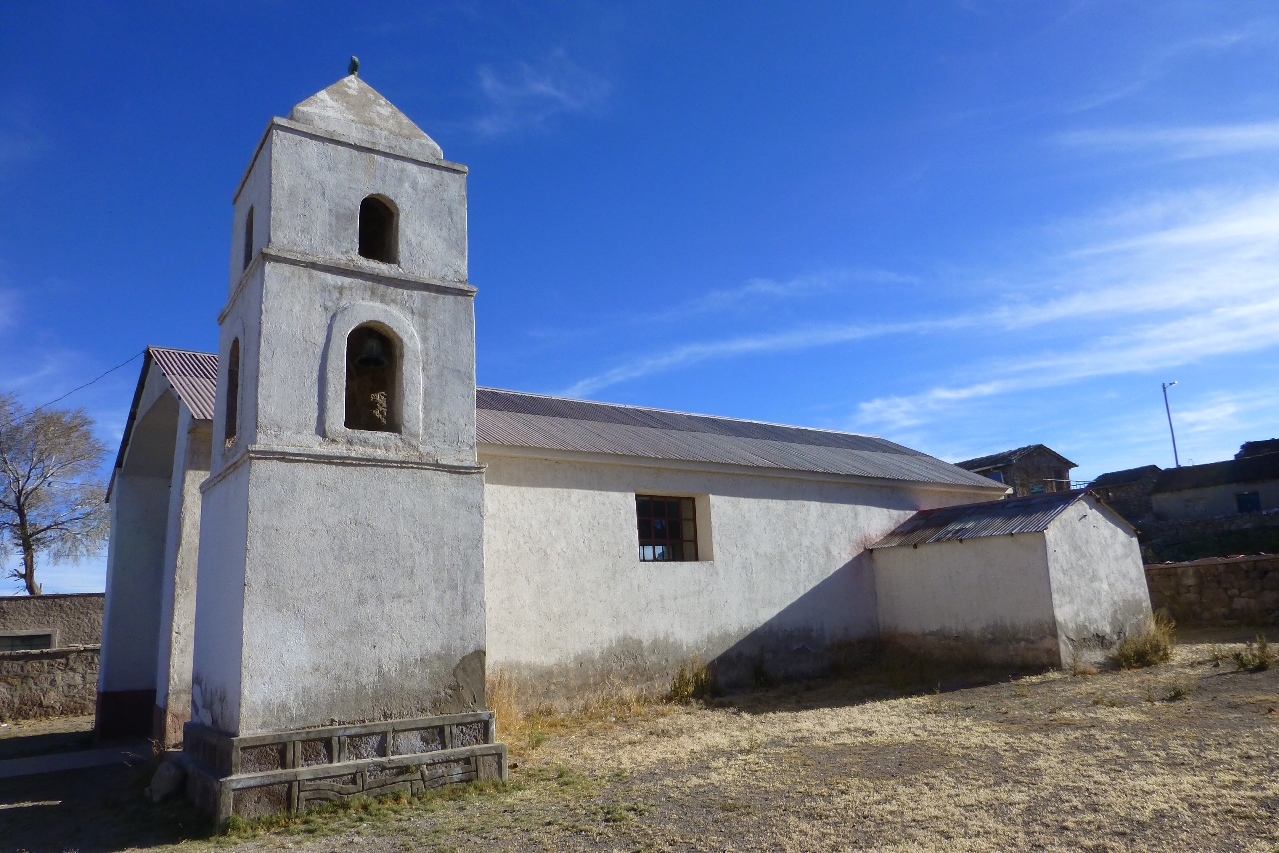
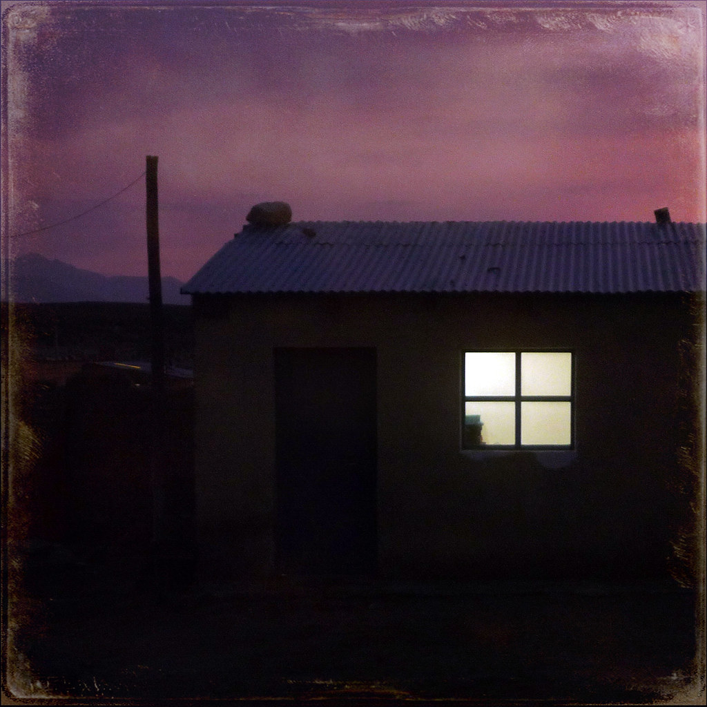
San Pedro de Quemez
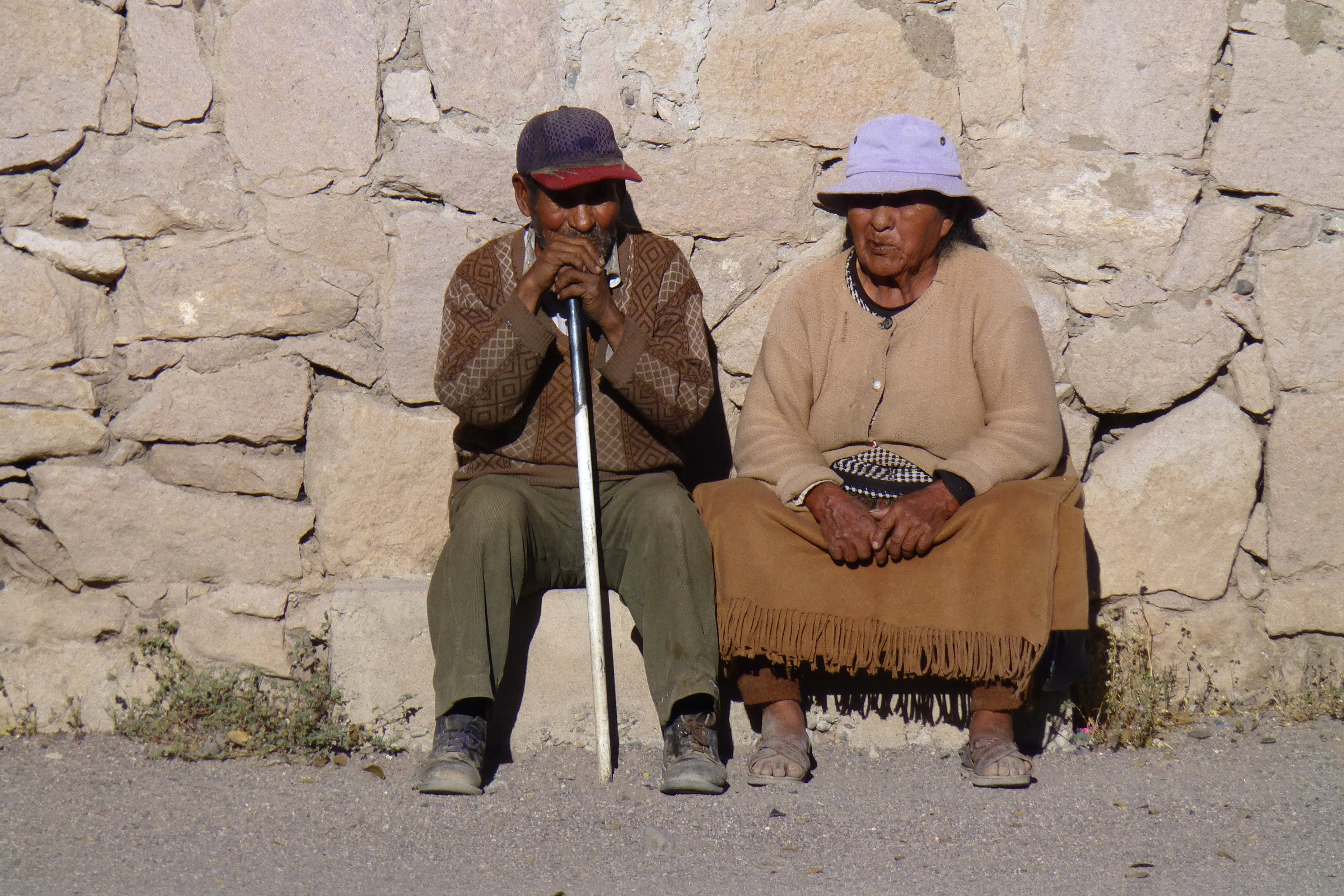
San Pedro de Quemez
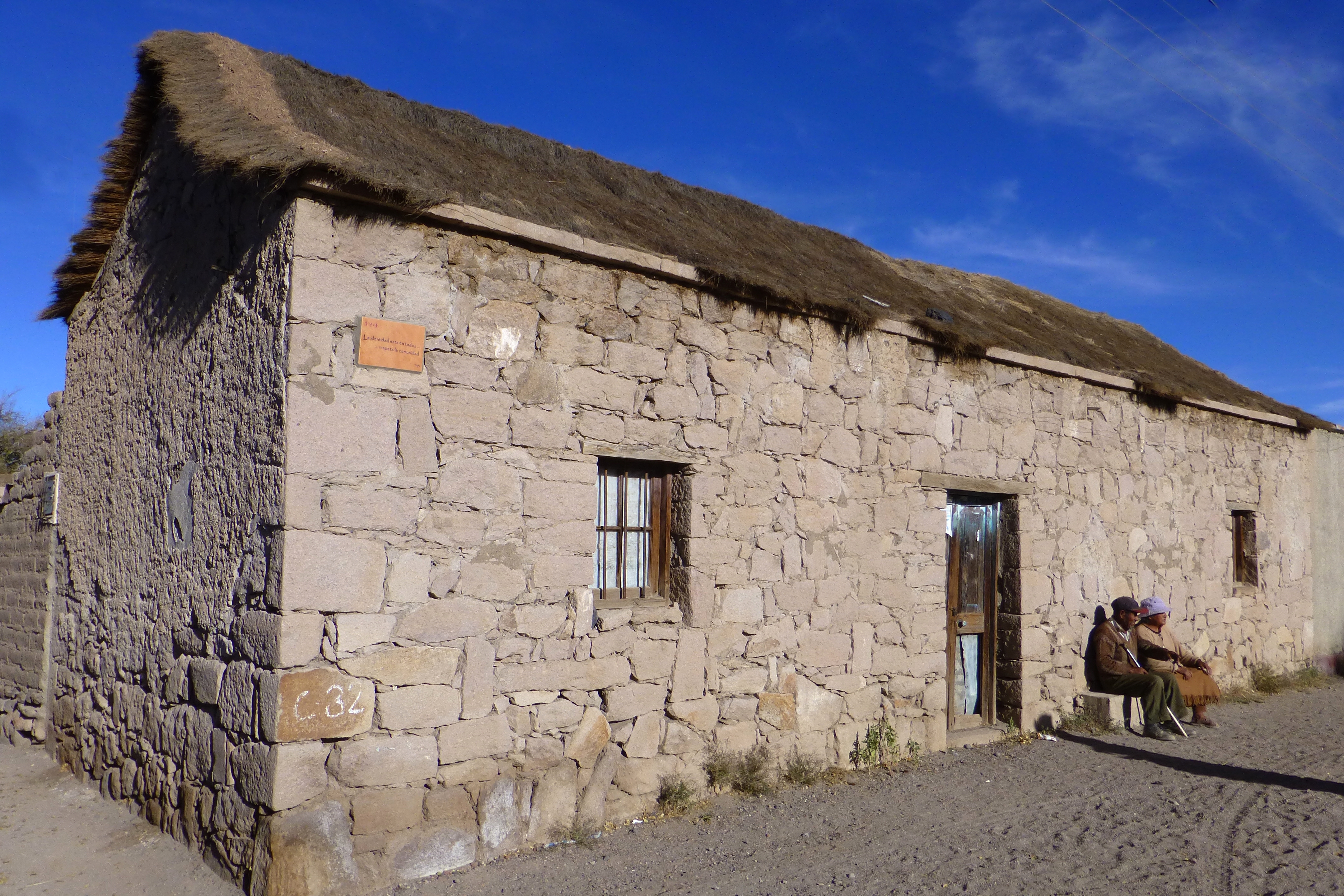
San Pedro de Quemez
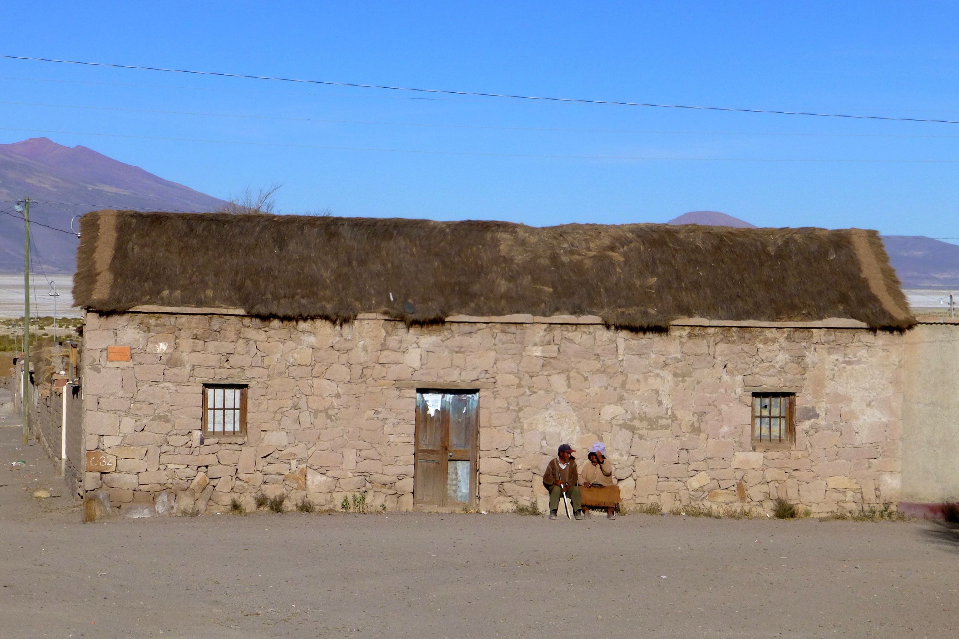
San Pedro de Quemez
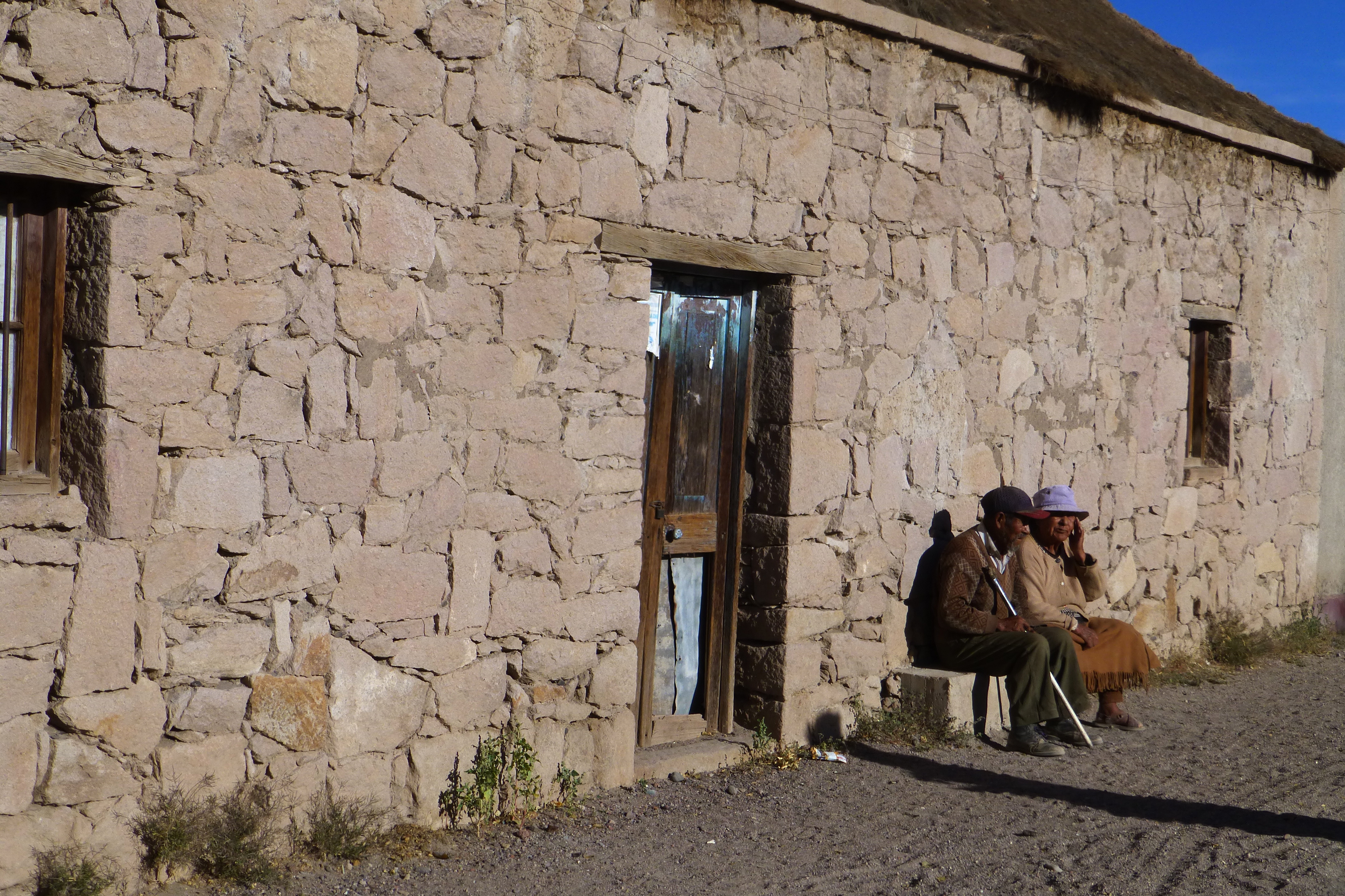
San Pedro de Quemez

San Pedro de Quemez
Dusk at San Juan
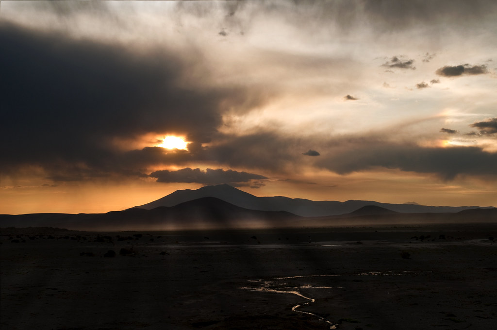
Sunset in the Desert

2008 Bolivia - Uyuni
Topographic Map of Hotel Tayka de Piedra, San Pedro de Quemes, Bolivia
Find elevation by address:

Places near Hotel Tayka de Piedra, San Pedro de Quemes, Bolivia:
San Pedro De Quemes
Nor Lípez
San Pedro De Quemes
San Juan
Colcha "k"
Jamuy Salt Hostel
Daniel Campos
Ujina
Isla Incahuasi
Tayka De Sal
Tahua
Tunupa Volcano
Jirira
Uyuni
Recent Searches:
- Elevation of Corso Fratelli Cairoli, 35, Macerata MC, Italy
- Elevation of Tallevast Rd, Sarasota, FL, USA
- Elevation of 4th St E, Sonoma, CA, USA
- Elevation of Black Hollow Rd, Pennsdale, PA, USA
- Elevation of Oakland Ave, Williamsport, PA, USA
- Elevation of Pedrógão Grande, Portugal
- Elevation of Klee Dr, Martinsburg, WV, USA
- Elevation of Via Roma, Pieranica CR, Italy
- Elevation of Tavkvetili Mountain, Georgia
- Elevation of Hartfords Bluff Cir, Mt Pleasant, SC, USA