Elevation of Tyson, NC, USA
Location: United States > North Carolina > Stanly County >
Longitude: -80.209821
Latitude: 35.2343762
Elevation: 162m / 531feet
Barometric Pressure: 99KPa
Elevation Map:
Satellite Map:
Related Photos:

The Lovers
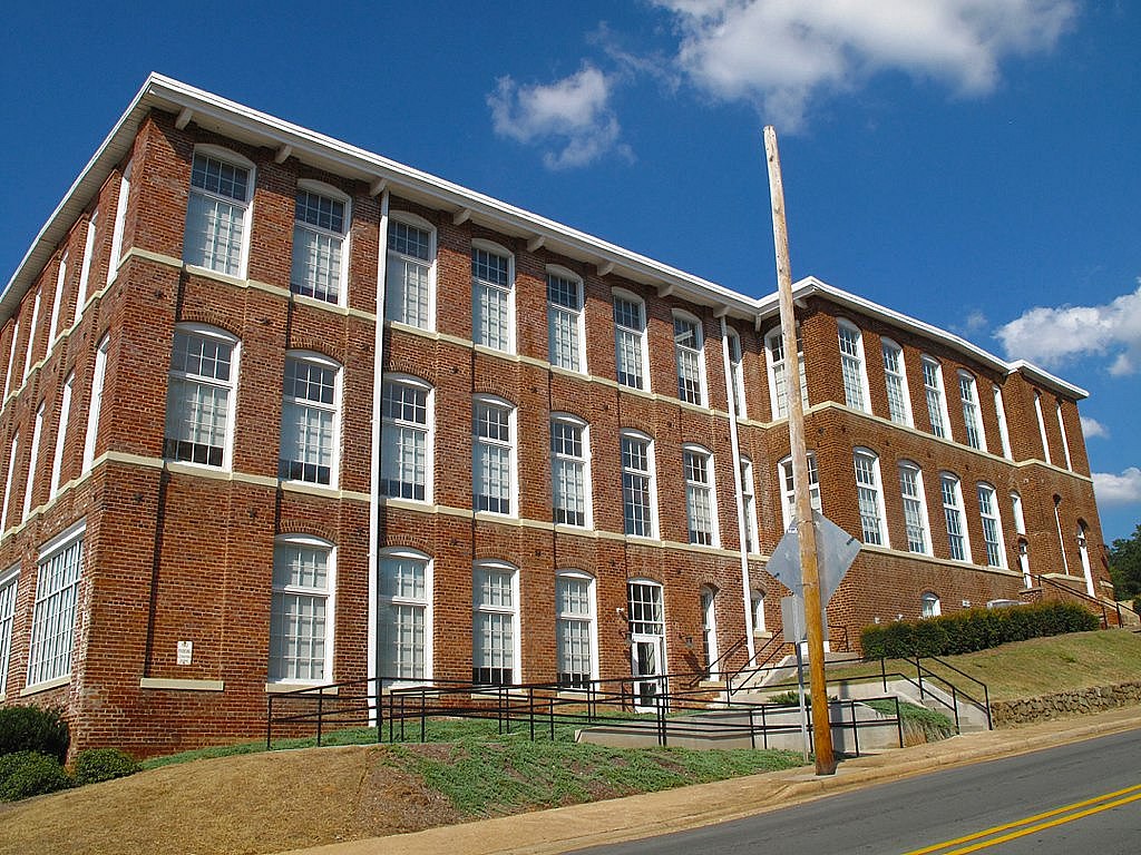
RED BRICKS AND BLUE SKY

Great White Egret

That Golden Light

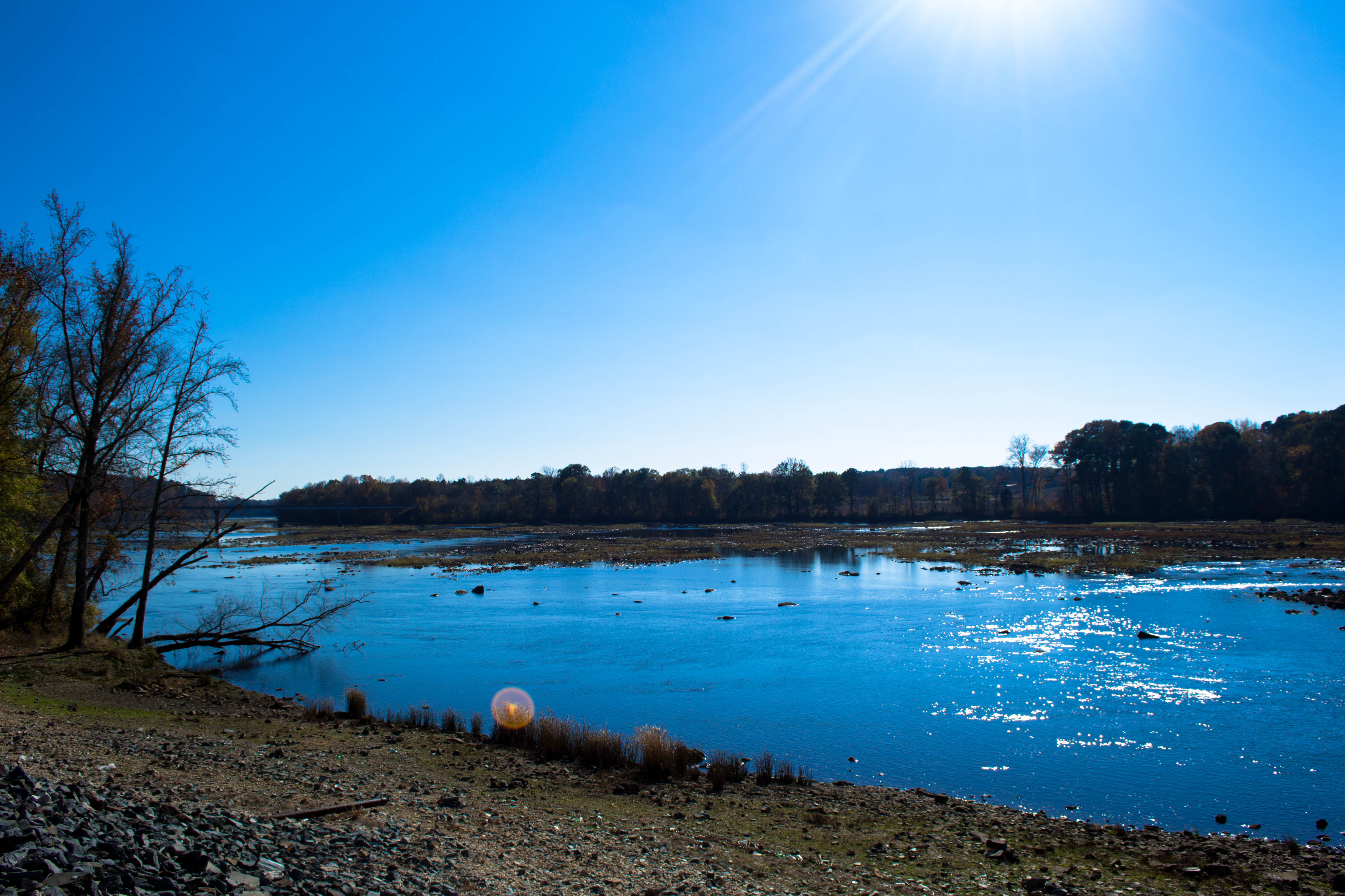
Approaching Winds

The Rust of Autumn

Randall Memorial Church

Petals After Morning Rain (2)

Autumn Gold

Petals After Morning Rain

Double Rainbow

24-27 AT LAKE TILLERY BRIDGE

img 03

NC Sunrise

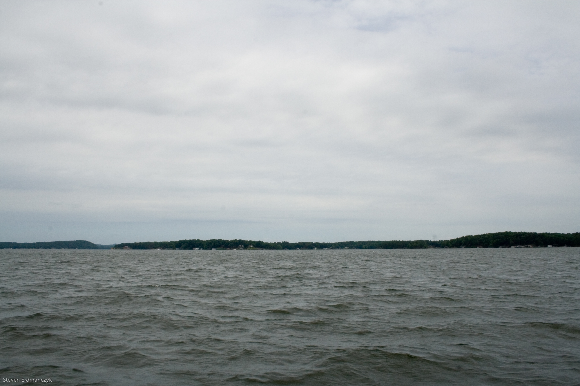
Calm lake

Leaves!

MORROW MT

dam sunset
20141115-DSC_4725
NC countryside

Sunset on Lake Tillery

Lake Tillery

Foggy Lake Tillery

forkht_196-Edit

kayaking on lake tillery

Lake-01.jpg
Lake-13.jpg

Exploring the Pee Dee River with Aveya.
20141115-DSC_4711
Lake-03.jpg
Topographic Map of Tyson, NC, USA
Find elevation by address:

Places in Tyson, NC, USA:
Places near Tyson, NC, USA:
Winfield Road
33515 S Stanly School Rd
12084 Southern Rd
33640 W Rd
Ugly Creek
Silver Springs Road
Silver Springs Road
Plank Rd, Norwood, NC, USA
36804 Mauldin Rd
20199 State Rd 1908
Stanly County
South Albemarle
Endy
Efird Road
24381 St Martin Rd
St Martin Rd, Albemarle, NC, USA
Endy
12611 St Martin Rd
9630 Nc-742
Oakboro
Recent Searches:
- Elevation of Corso Fratelli Cairoli, 35, Macerata MC, Italy
- Elevation of Tallevast Rd, Sarasota, FL, USA
- Elevation of 4th St E, Sonoma, CA, USA
- Elevation of Black Hollow Rd, Pennsdale, PA, USA
- Elevation of Oakland Ave, Williamsport, PA, USA
- Elevation of Pedrógão Grande, Portugal
- Elevation of Klee Dr, Martinsburg, WV, USA
- Elevation of Via Roma, Pieranica CR, Italy
- Elevation of Tavkvetili Mountain, Georgia
- Elevation of Hartfords Bluff Cir, Mt Pleasant, SC, USA