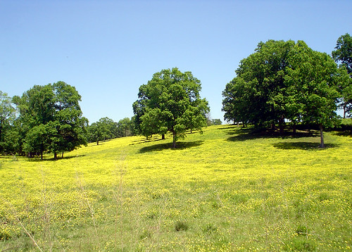
Elevation of S Stanly School Rd, Norwood, NC, USA

Location: United States > North Carolina > Stanly County > Tyson >

Longitude: -80.215584

Latitude: 35.231228

Elevation: -10000m / -32808feet

Barometric Pressure: 295KPa

Elevation Map:

elevation map of S Stanly School Rd, Norwood, NC, USA

Satellite Map:

Satellite map of S Stanly School Rd, Norwood, NC, USA

Related Photos:

blue color interestingness dof bokeh objects line explore dew utata trophy clothesline clothespins i500 fall2006 utatathursdaywalk utatathursdaywalk29 utata:project=upfaves
The Lovers
pink flower drops bokeh dew utata utatathursdaywalk utatathursdaywalk29
Petals After Morning Rain (2)
autumn tree fall colors leaves dewdrops drops oak dof bokeh web dew utata acorns fall2006 specnature utatathursdaywalk utatathursdaywalk27 utataleaf
The Rust of Autumn
pink flower green closeup drops bokeh dew utata utatathursdaywalk utatathursdaywalk29
Petals After Morning Rain
bridge autumn white lake reflection bird fall heron nature water birds neck nc idplease northcarolina utata steelbridge egret greategret greatwhiteegret laketillery fall2006 stanlycounty utatathursdaywalk specanimal norwoodnc utatathursdaywalk27
Great White Egret
autumn light sunset shadow sunlight color fall nature leaves yellow gold golden leaf colorful searchthebest bokeh pair utata atsunset fall2006 utatathursdaywalk utatathursdaywalk31
Autumn Gold
park morning light reflection bird nature water golden geese pond bravo waves wildlife goose ripples canadagoose canadageese
That Golden Light
light tree green church grave graveyard field grass leaves cemetary graves magnolia atsunset stanlycounty norwoodnc
Randall Memorial Church
blue trees sky green colors field yellow rural nc interestingness interesting country meadow northcarolina hills clear explore crisp pasture albemarle interestingness291 i500 stanlycounty albemarlenc
Yellow Field on McNeil Road
geotagged فان التصوير albemarle vanjohnsonphotography swiftislandbridge d7000 vantjohnsonjr جونسون hwy2427 geo:lat=3530828758 geo:lon=8007980704 laketillerybridge 麵包車約翰遜攝影
24-27 AT LAKE TILLERY BRIDGE
trees field dawn utata
The Sudden Incendiary Splash of Dawn
acwr 300 oakboro nc sd403
ACWR 300 at Barbees Grove RD
north carolina
Calm lake
fall leaves northcarolina
Leaves!
northcarolina mtgilead laketillery
dam sunset
northcarolina laketillerymtgileadnc
Lake Tillery
north carolina
Sunset on Lake Tillery
forkfarmhorsetrialhtcharlotte nceventingeventerccicrosscountryshowjumpingjumperflagswatercomplexbush
forkht_196-Edit
kayaking on lake tillery
square squareformat iphoneography instagramapp uploaded:by=instagram
Exploring the Pee Dee River with Aveya.
Foggy Lake Tillery