Elevation of TX-, Port Lavaca, TX, USA
Location: United States > Texas > Calhoun County > Port Lavaca >
Longitude: -96.553019
Latitude: 28.5483418
Elevation: 3m / 10feet
Barometric Pressure: 101KPa
Elevation Map:
Satellite Map:
Related Photos:
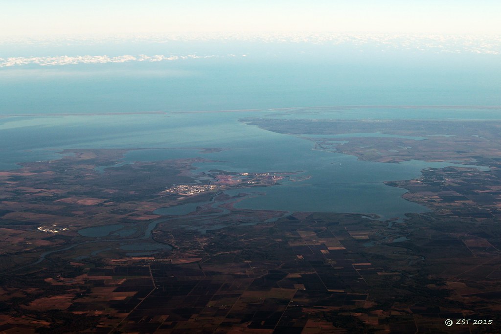
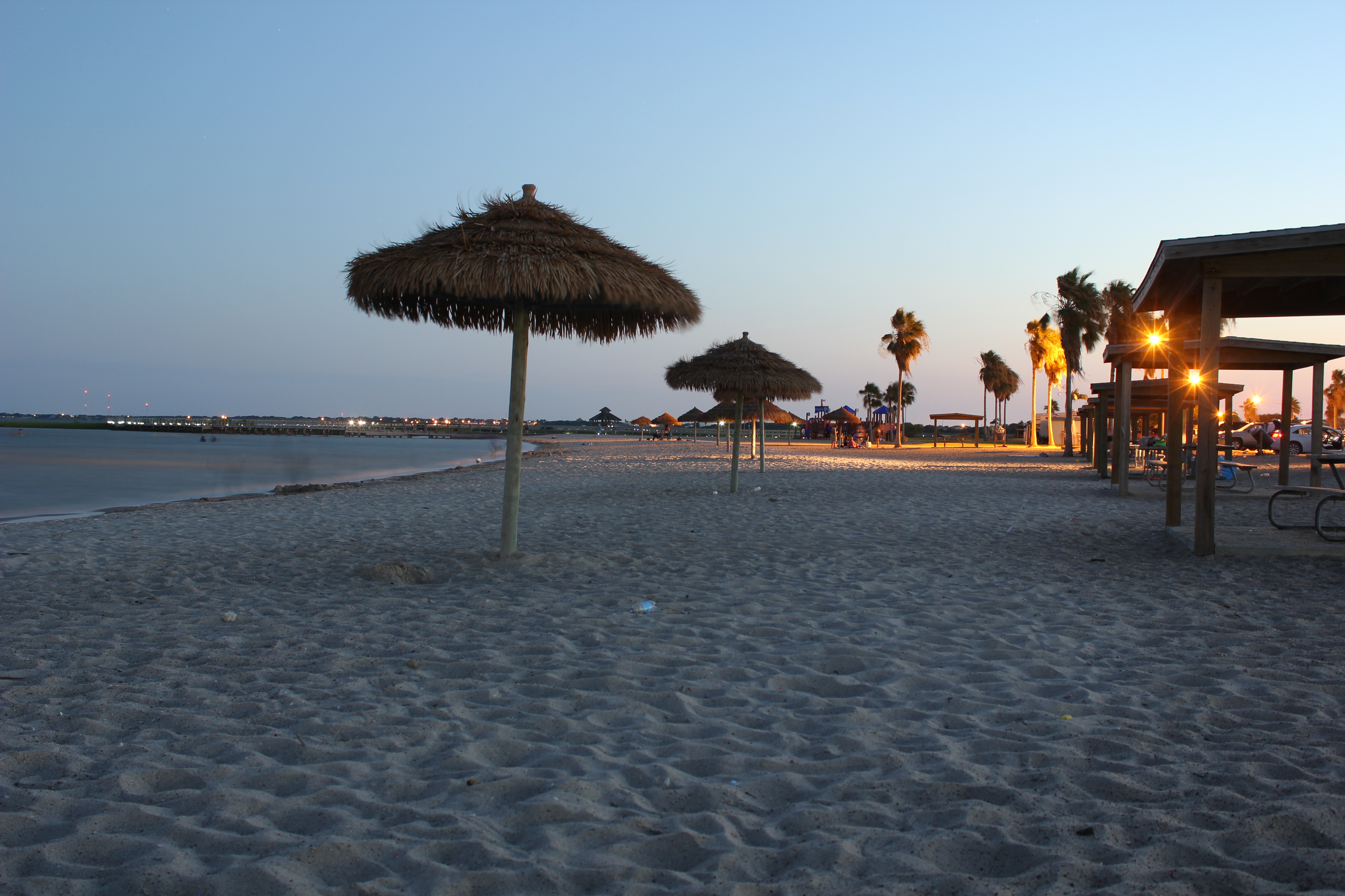
Lavaca Bay
The Sunset at the Beachouse
Beautiful Colors
The View from the Beachhouse

16 Sun Set

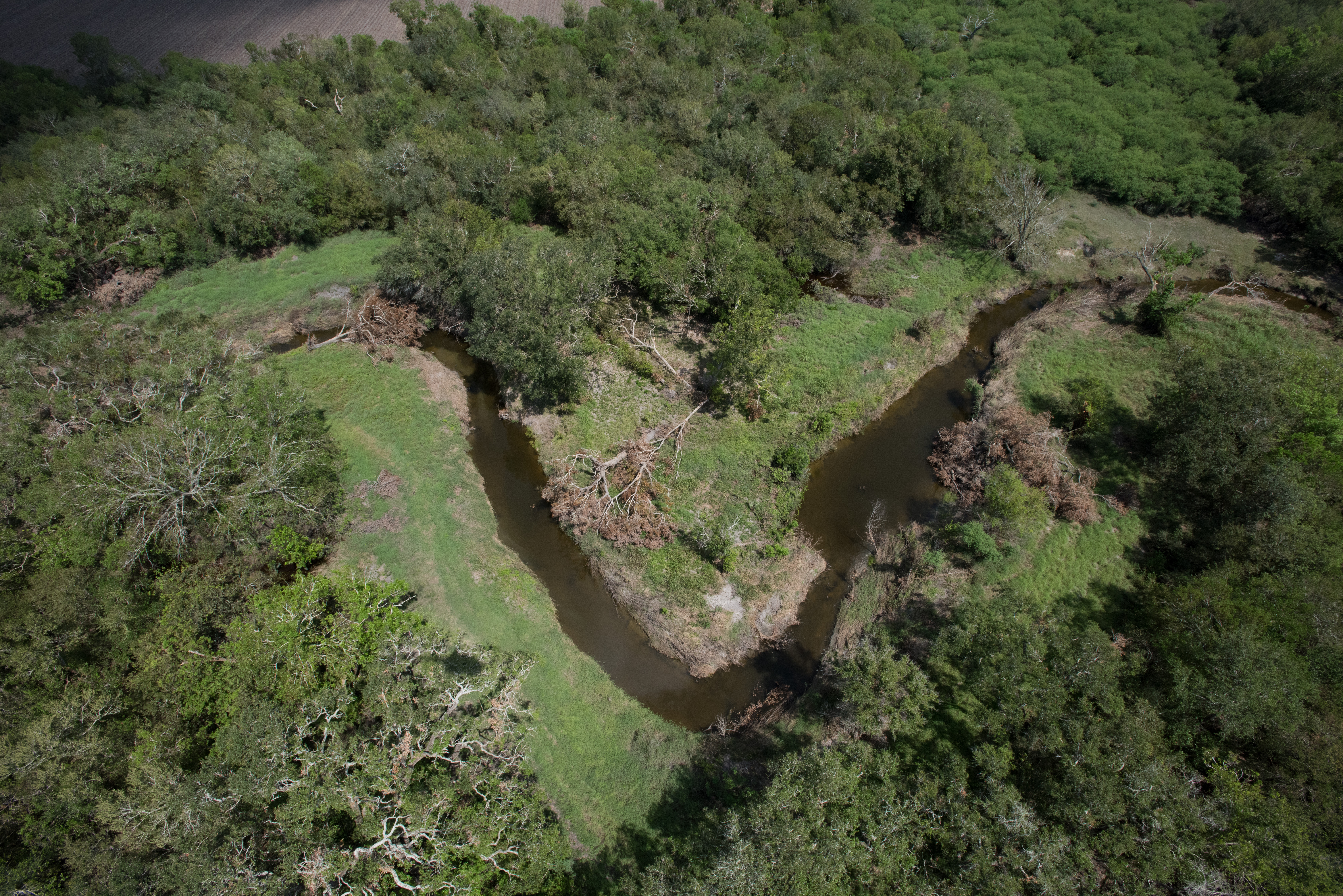
Keller Bay
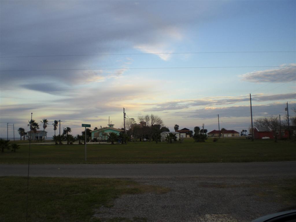
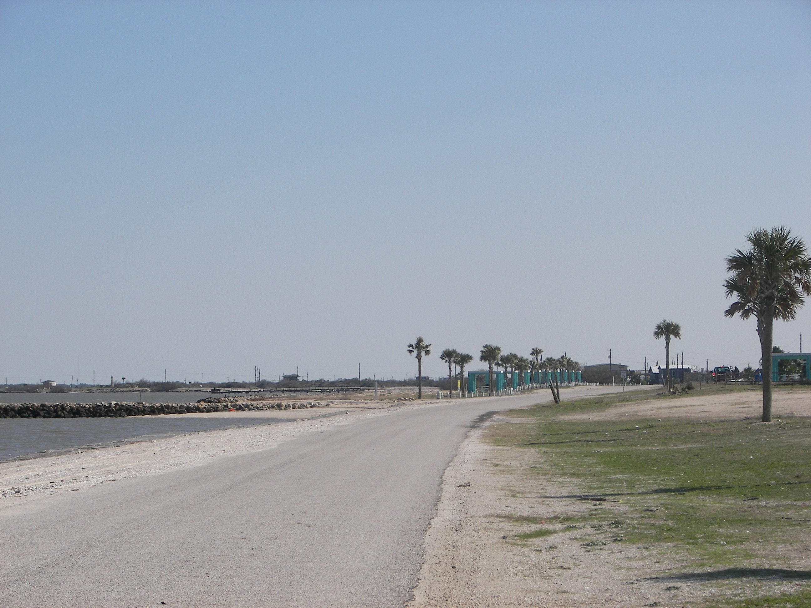
Port Lavaca, Texas

Port Lavaca, Texas

Port Lavaca, Texas
Port Lavaca, Texas
Port La Vaca

20170919-OC-LSC-1681
20170919-OC-LSC-1582
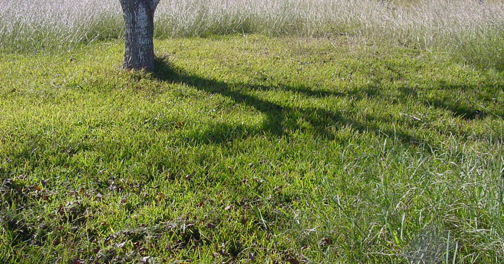
tree shadow
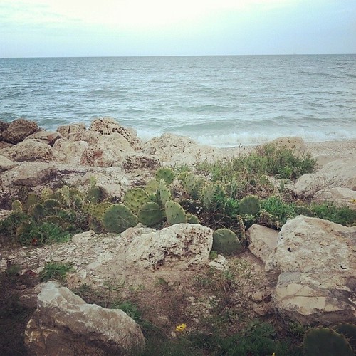
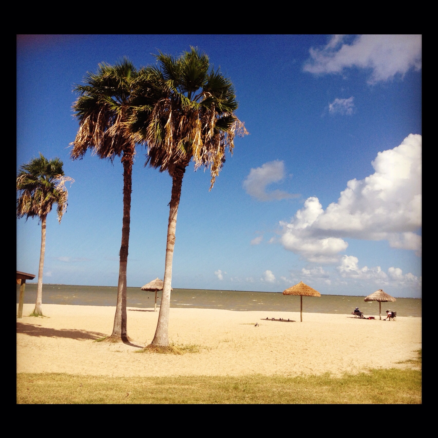
Magnolia Beach cacti...
FF10-68

Port Lavaca, Texas
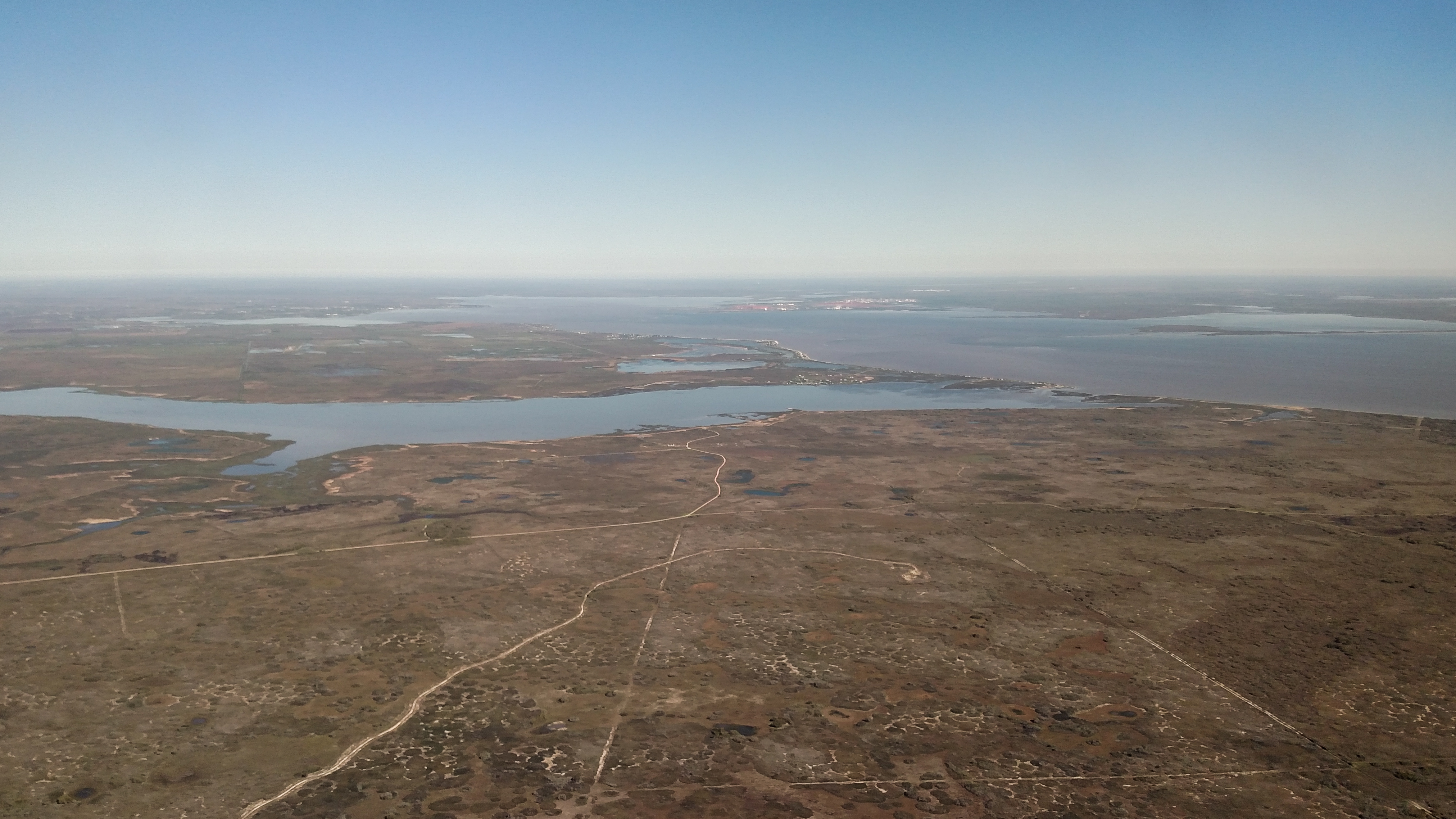
Advanced Flight Training (107 of 126)
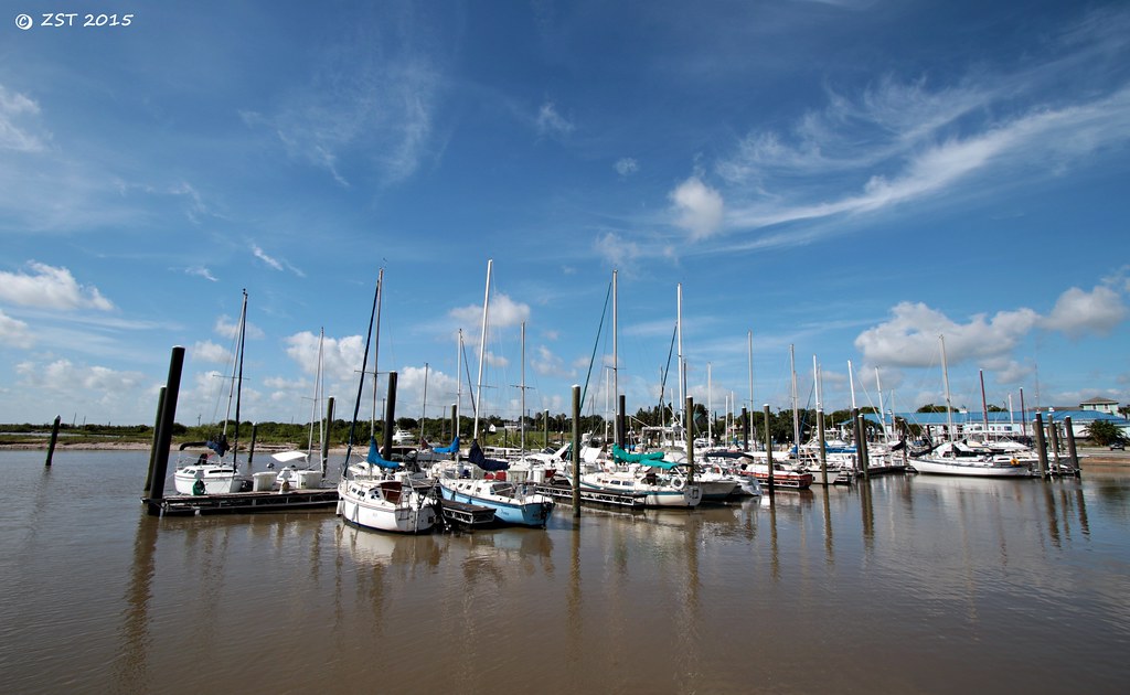
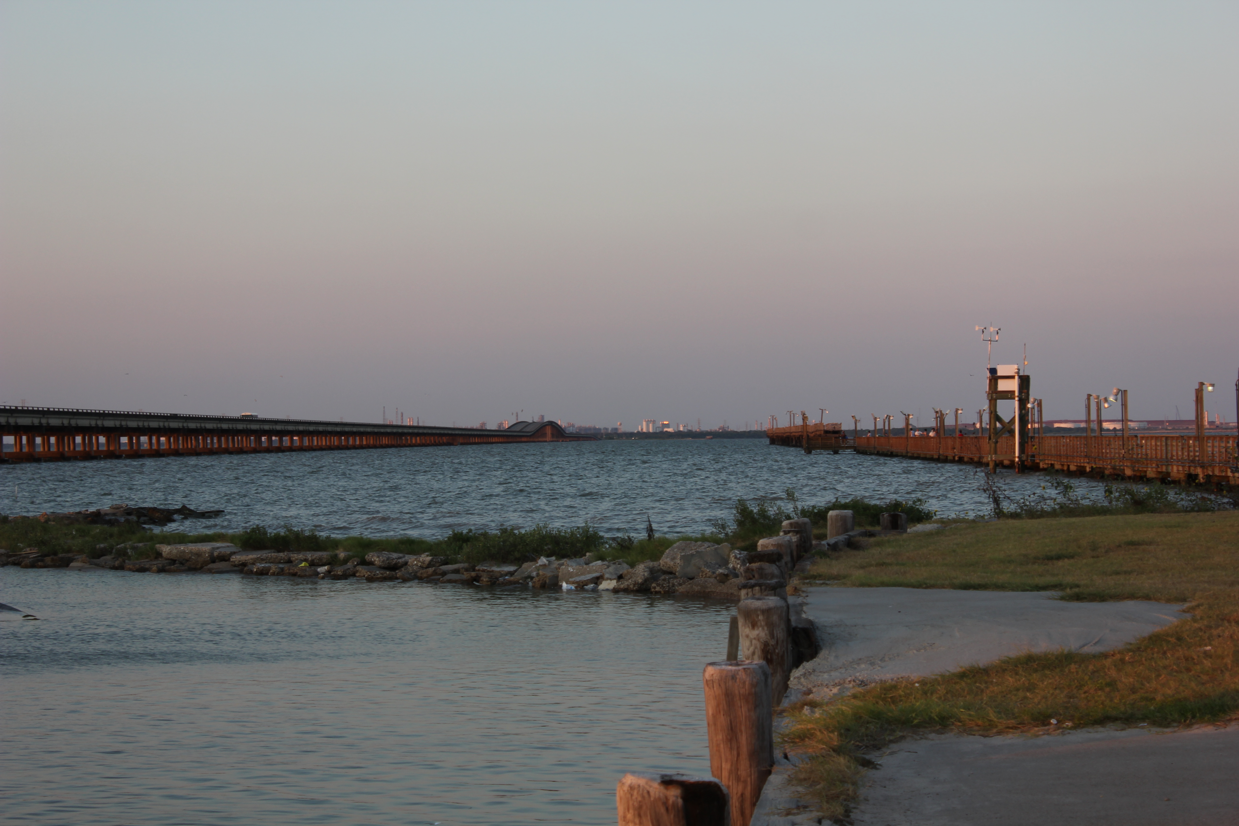
Marina @ Lavaca
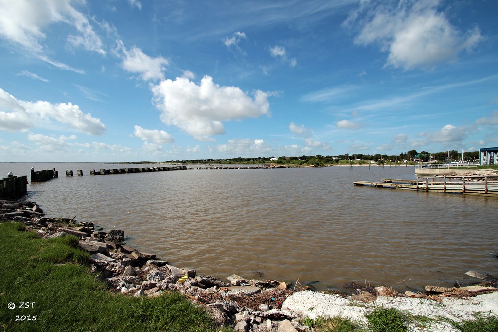
Harbor @ Lavaca

Clapper Rail Response
Topographic Map of TX-, Port Lavaca, TX, USA
Find elevation by address:

Places near TX-, Port Lavaca, TX, USA:
45 Mollnar Ave
22 Blackburn St, Port Lavaca, TX, USA
118 N Ocean Dr
132 Waterfront Alley
Alamo Beach
688 Comal Rd
Indianola
433 Jack And Jill Rd
4 Villa Del Mar
Redfish Retreat
810 S Colorado St
Jackson Roosevelt Elementary
2102 Jackson St
1503 Justice Dr
832 Hackberry St
412 S Nueces St
2235 Leon Dr
Poor Boy Bait
Second Street
1409 Holloman Dr
Recent Searches:
- Elevation of Corso Fratelli Cairoli, 35, Macerata MC, Italy
- Elevation of Tallevast Rd, Sarasota, FL, USA
- Elevation of 4th St E, Sonoma, CA, USA
- Elevation of Black Hollow Rd, Pennsdale, PA, USA
- Elevation of Oakland Ave, Williamsport, PA, USA
- Elevation of Pedrógão Grande, Portugal
- Elevation of Klee Dr, Martinsburg, WV, USA
- Elevation of Via Roma, Pieranica CR, Italy
- Elevation of Tavkvetili Mountain, Georgia
- Elevation of Hartfords Bluff Cir, Mt Pleasant, SC, USA