Elevation of Hackberry St, Port Lavaca, TX, USA
Location: United States > Texas > Calhoun County > Port Lavaca >
Longitude: -96.628135
Latitude: 28.6072057
Elevation: 6m / 20feet
Barometric Pressure: 101KPa
Elevation Map:
Satellite Map:
Related Photos:
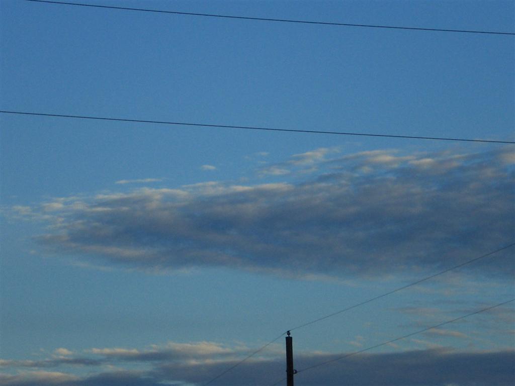
The Sunset at the Beachouse
Beautiful Colors
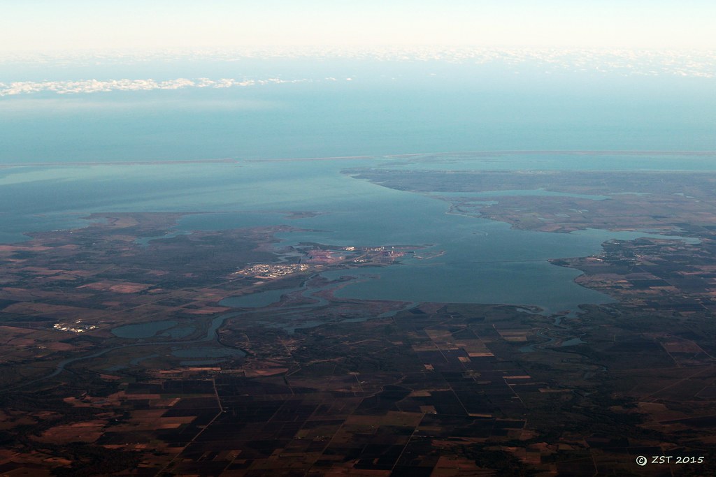
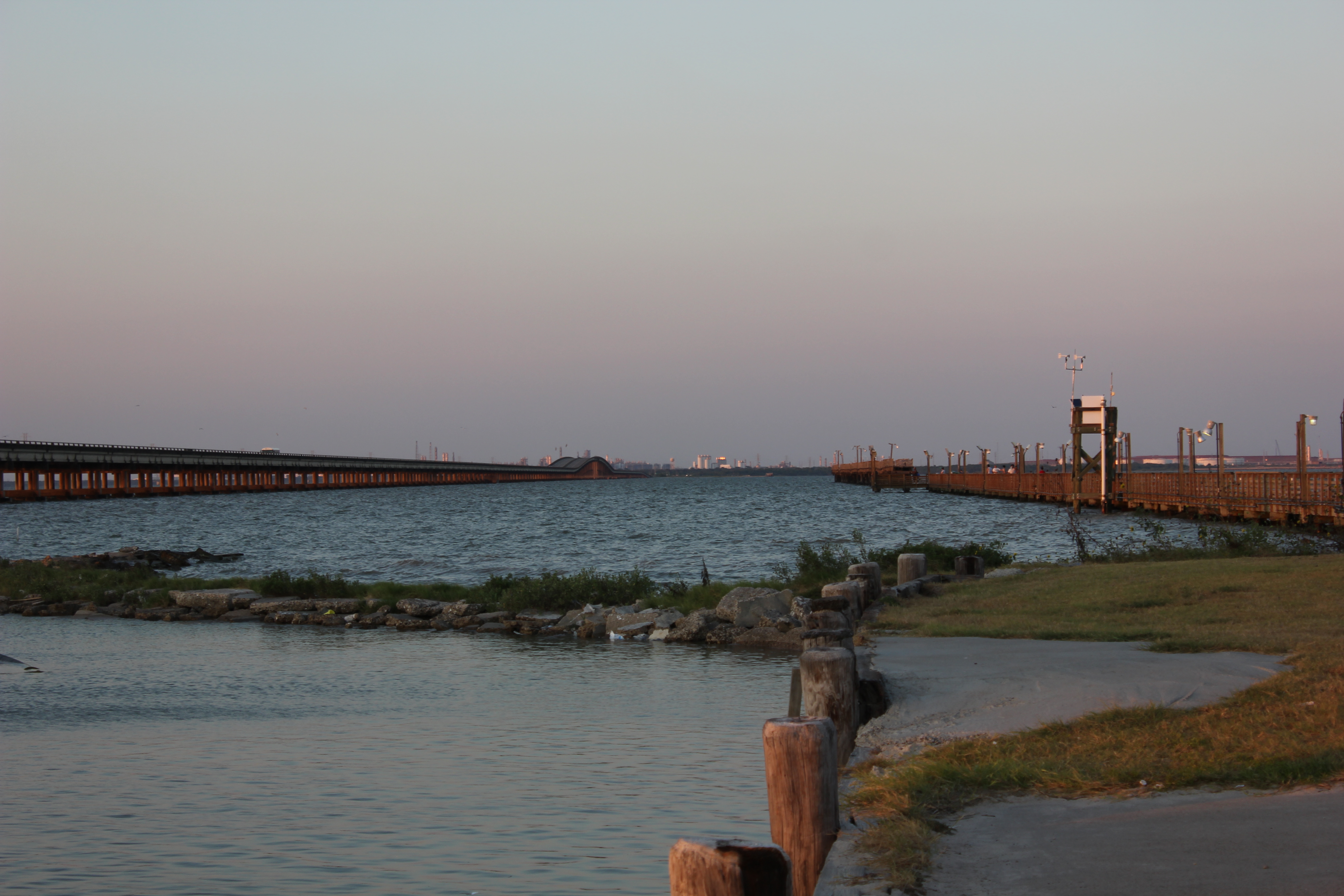
Lavaca Bay
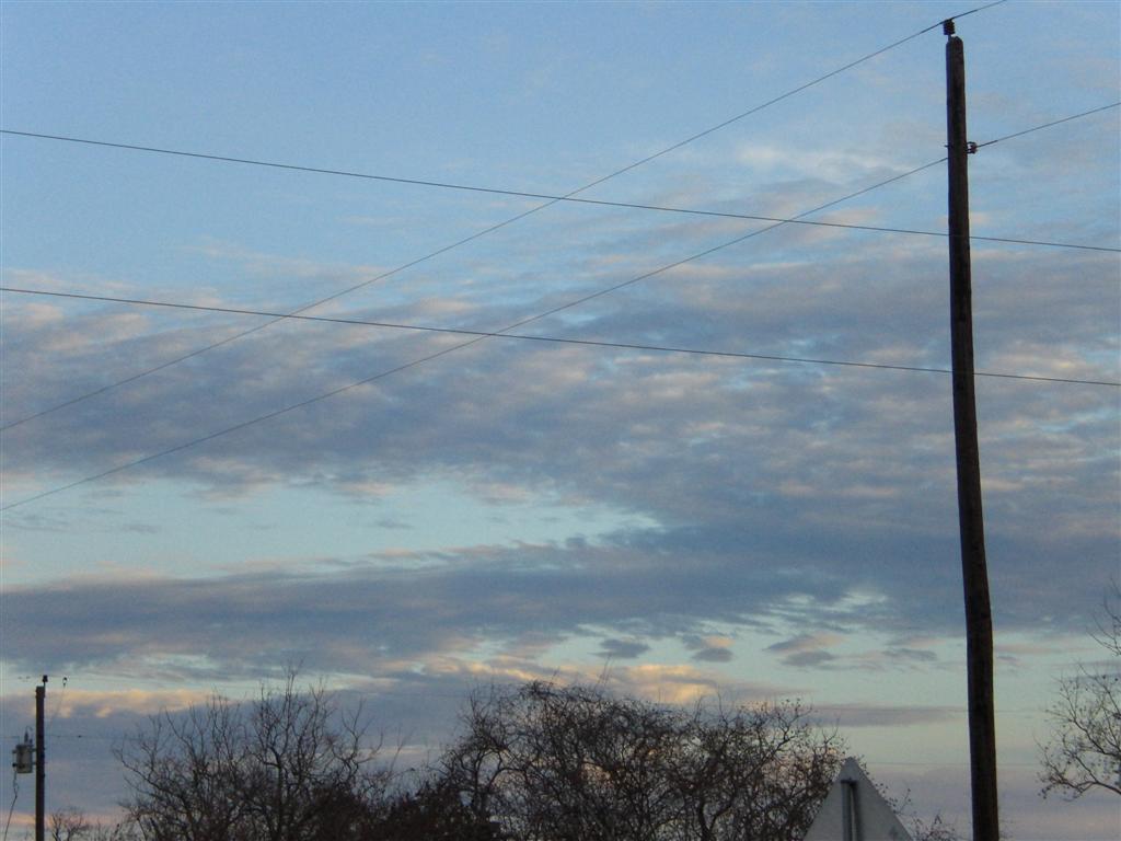
The View from the Beachhouse

20170919-OC-LSC-1681

16 Sun Set
20170919-OC-LSC-2033

20170919-OC-LSC-1427
20170919-OC-LSC-1410
20170919-OC-LSC-1287

Clapper Rail Response
20170919-OC-LSC-1582
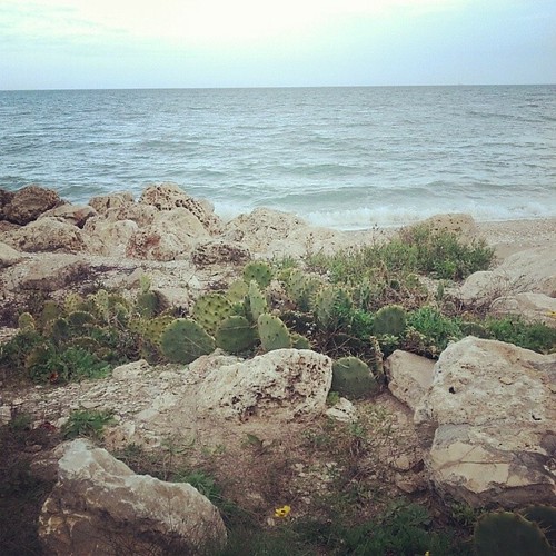
Magnolia Beach cacti...
FF10-68
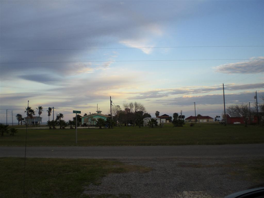
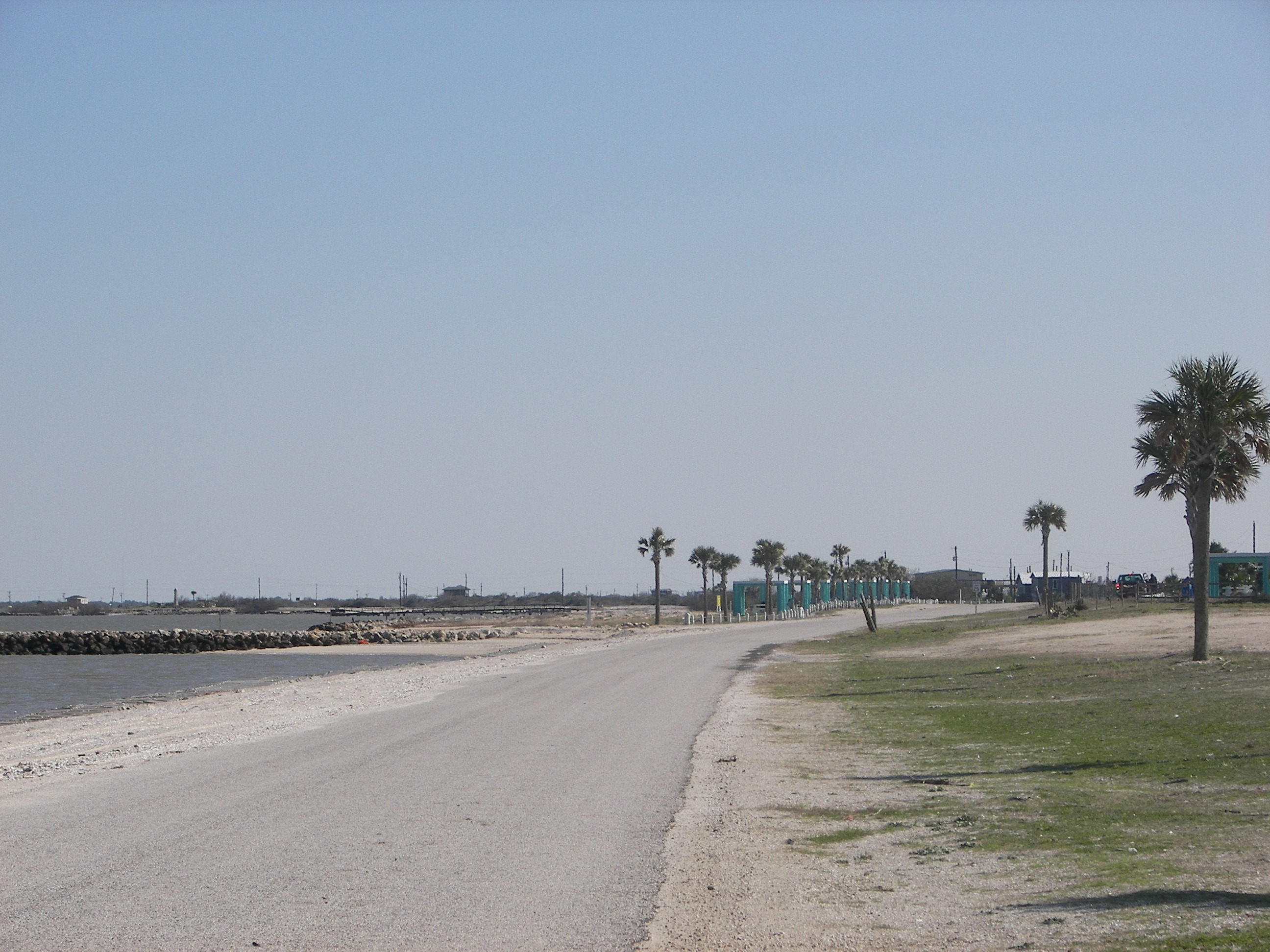
Port Lavaca, Texas
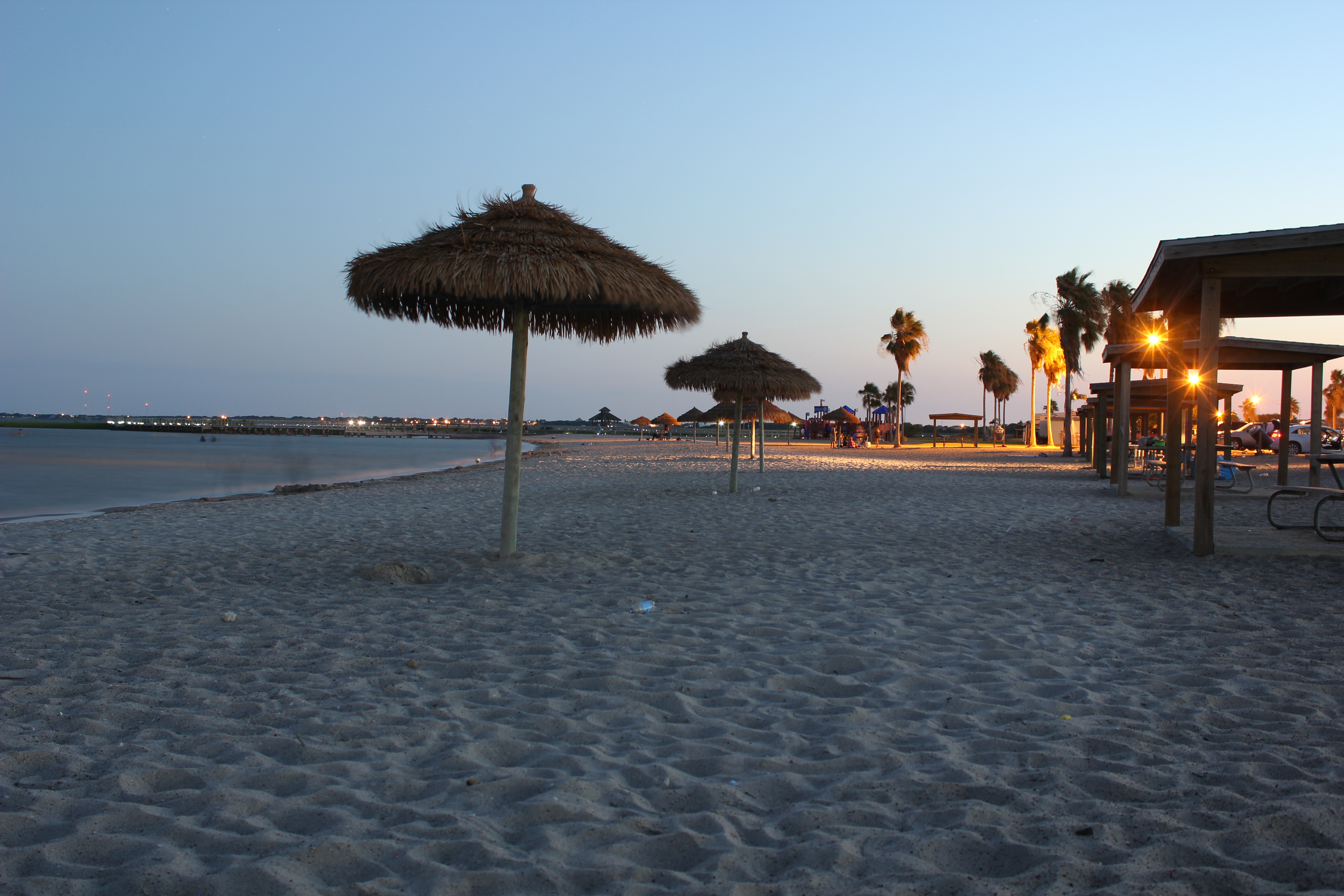
Port Lavaca Beach

Port Lavaca, Texas
Port Lavaca, Texas

Port Lavaca, Texas
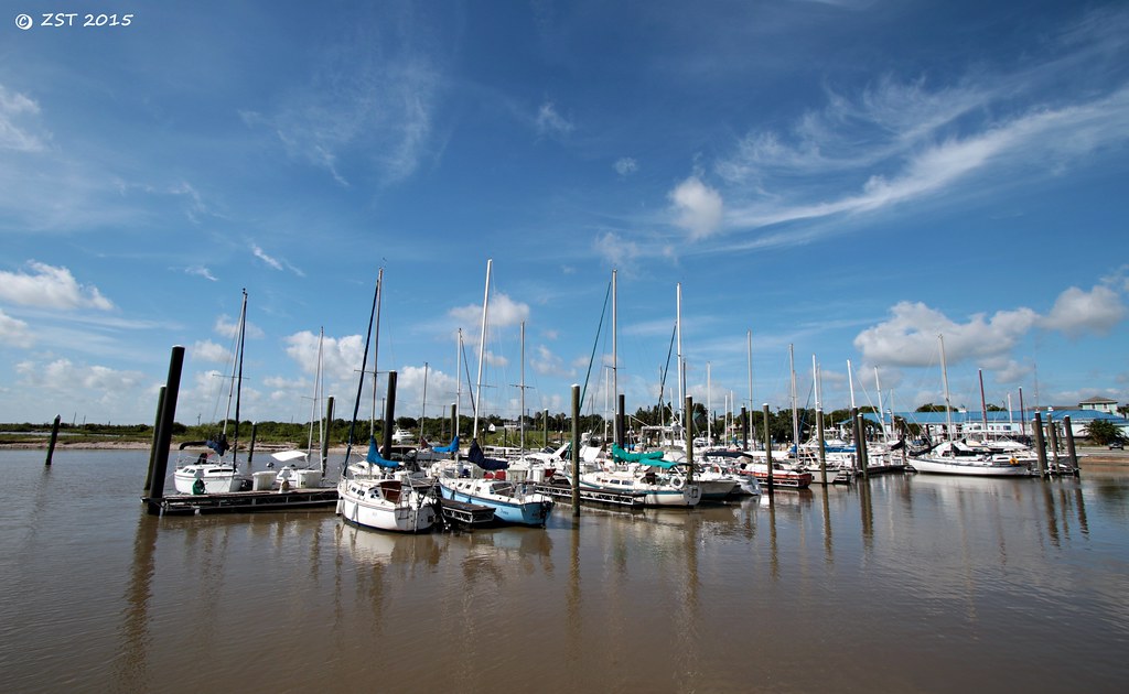
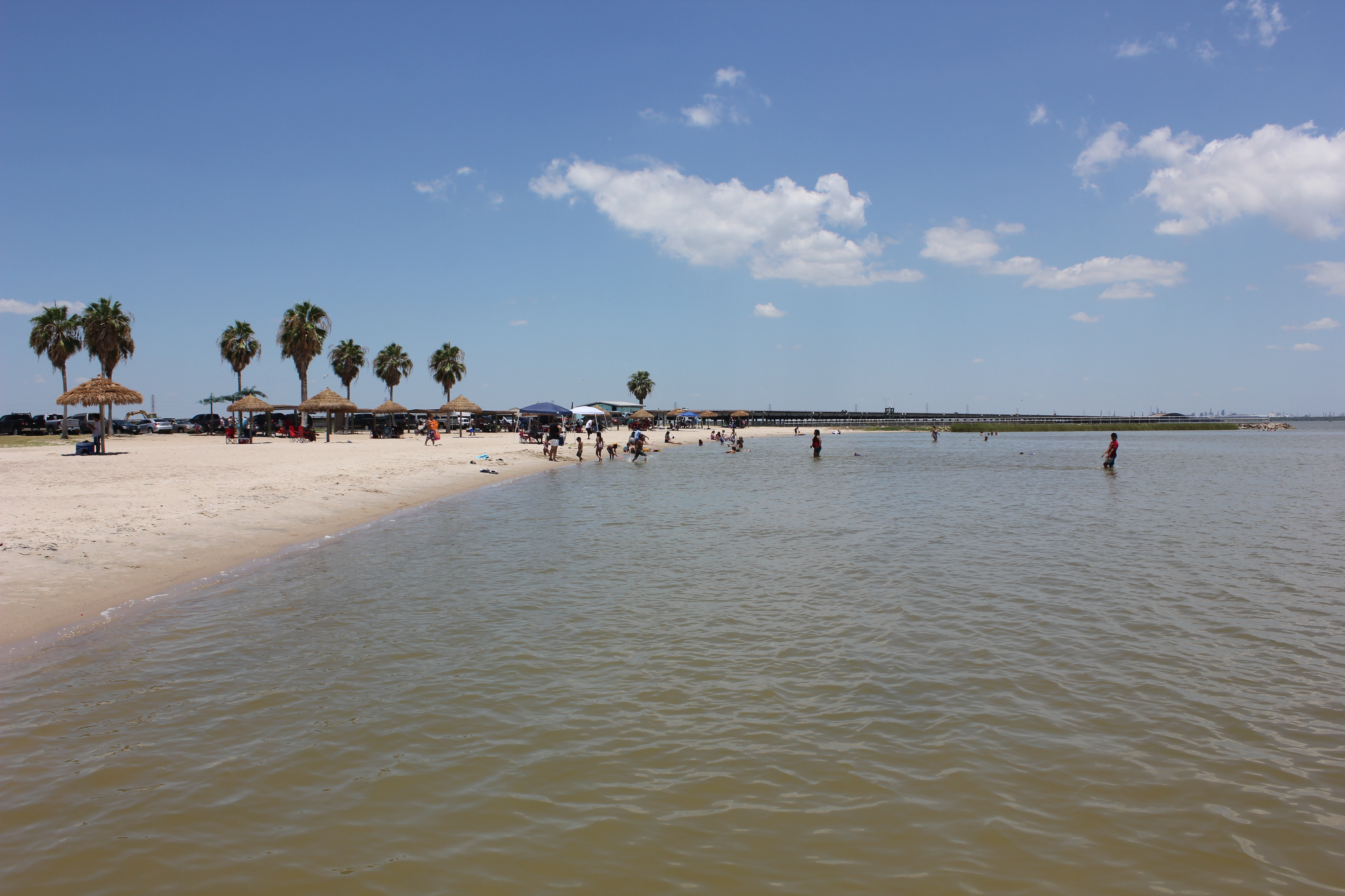
Marina @ Lavaca
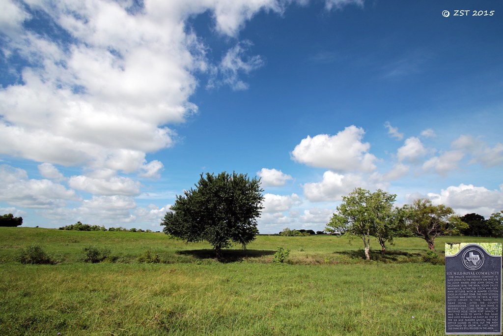
Historical Marker
Topographic Map of Hackberry St, Port Lavaca, TX, USA
Find elevation by address:

Places near Hackberry St, Port Lavaca, TX, USA:
412 S Nueces St
Second Street
1409 Holloman Dr
1503 Justice Dr
1409 W Austin St
Jackson Roosevelt Elementary
217 Suncrest Dr
412 N Nueces St
412 N Nueces St
412 N Nueces St
412 N Nueces St
Port Lavaca
810 S Colorado St
200 N Colorado St
Poor Boy Bait
4 Villa Del Mar
Bayfront Peninsula Park
2102 Jackson St
618 Border St
West Austin Street
Recent Searches:
- Elevation of Corso Fratelli Cairoli, 35, Macerata MC, Italy
- Elevation of Tallevast Rd, Sarasota, FL, USA
- Elevation of 4th St E, Sonoma, CA, USA
- Elevation of Black Hollow Rd, Pennsdale, PA, USA
- Elevation of Oakland Ave, Williamsport, PA, USA
- Elevation of Pedrógão Grande, Portugal
- Elevation of Klee Dr, Martinsburg, WV, USA
- Elevation of Via Roma, Pieranica CR, Italy
- Elevation of Tavkvetili Mountain, Georgia
- Elevation of Hartfords Bluff Cir, Mt Pleasant, SC, USA