Elevation of TX-36, Fort Hood, TX, USA
Location: United States > Texas > Coryell County > Fort Hood >
Longitude: -97.629666
Latitude: 31.308749
Elevation: 254m / 833feet
Barometric Pressure: 98KPa
Elevation Map:
Satellite Map:
Related Photos:
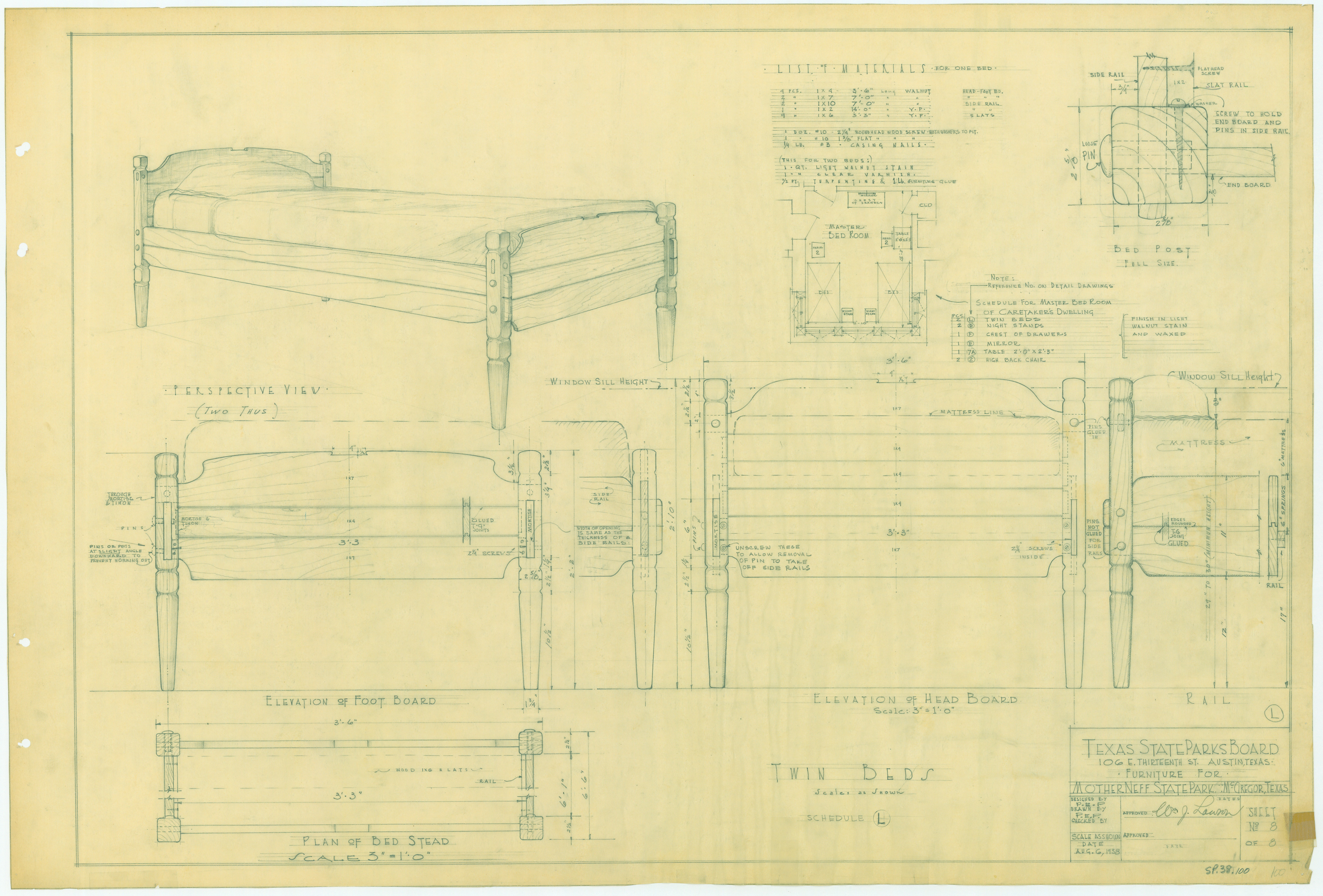
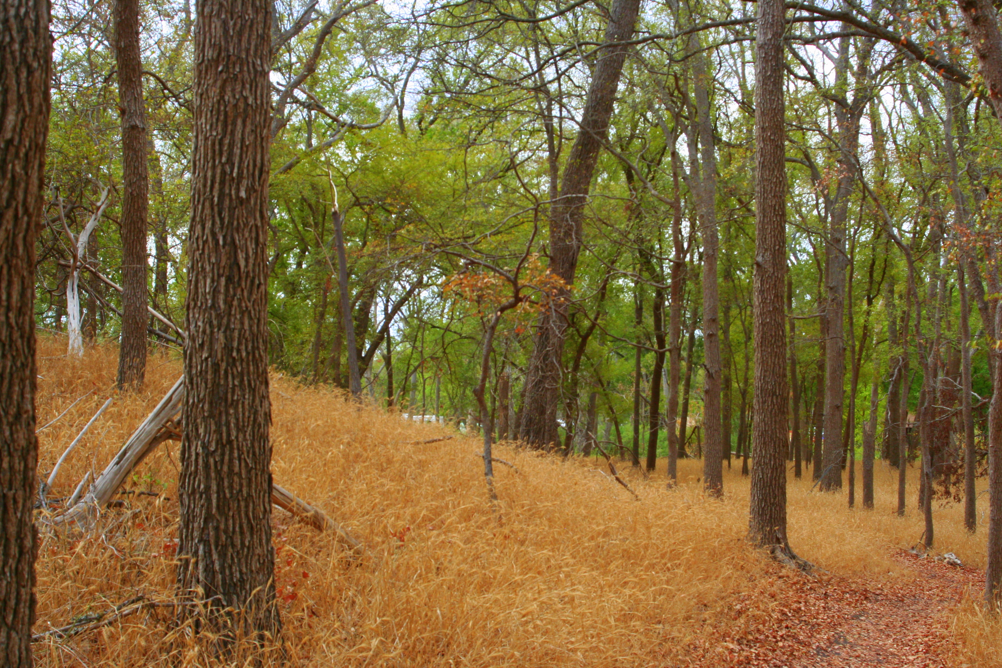
Mother Neff State Park - Furniture - SP38_100
Andrew at The Grove (2 of 5)
Andrew at The Grove (5 of 5)
Andrew at The Grove (3 of 5)

Andrew at The Grove (1 of 5)
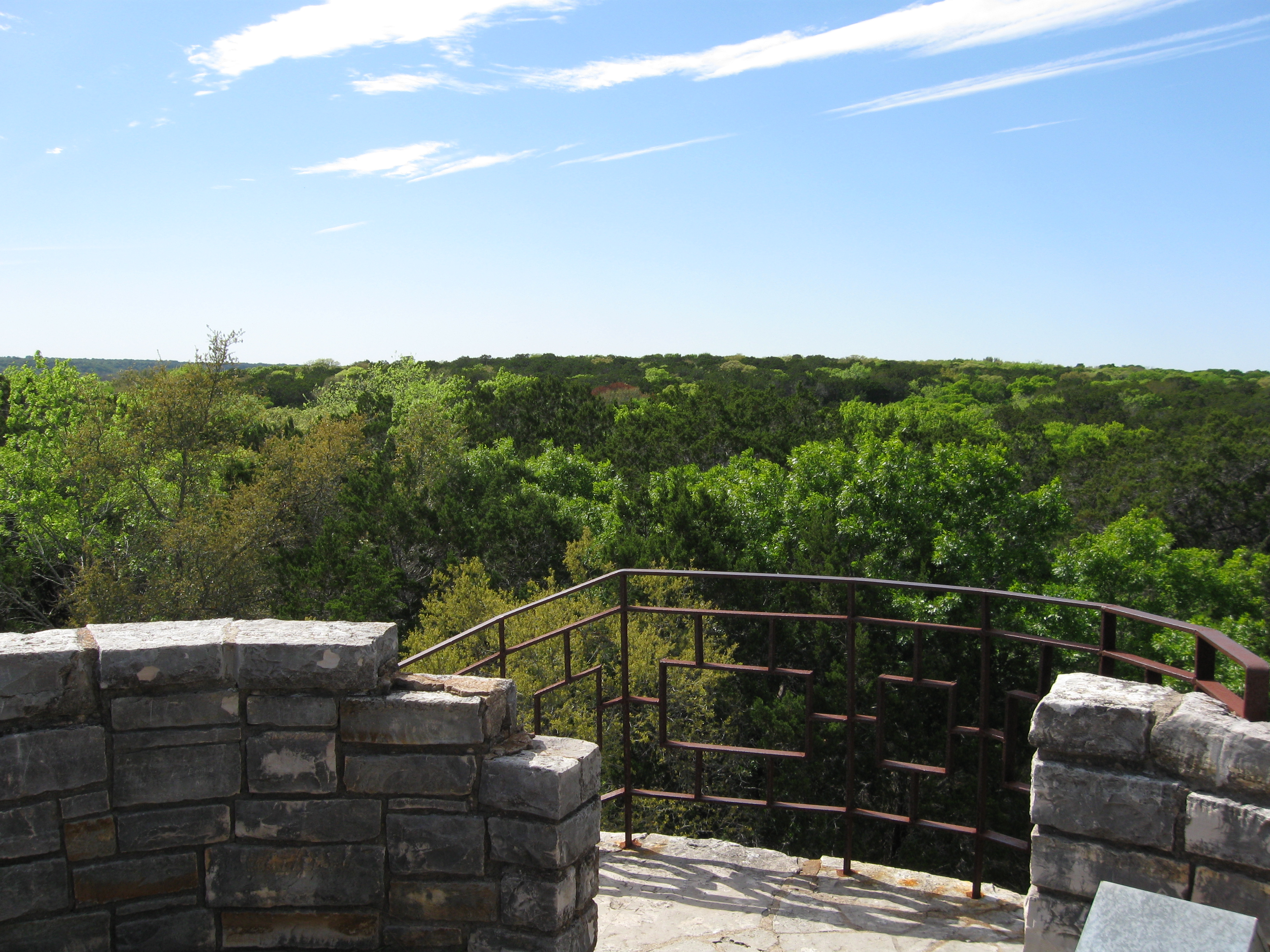
Mother Neff SP tower view
Andrew at The Grove (4 of 5)

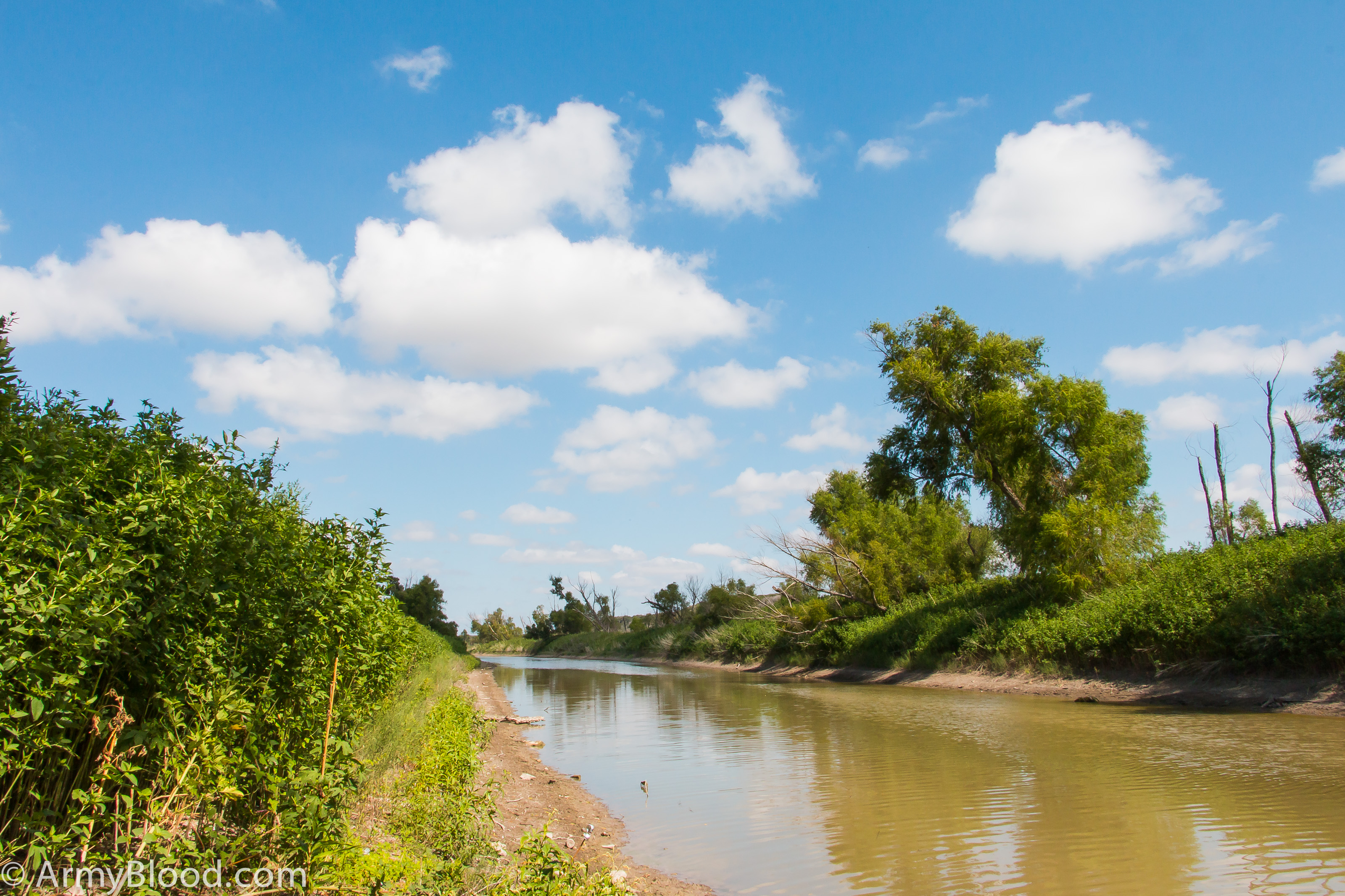
My drive to work.
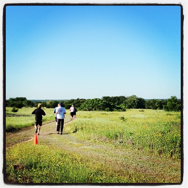
Trying to camp and a 5K broke out.
The Grove one Sunday
IMG_9678-1

wind blown ways

Have you seen this sign in Gatesville? Future site of Holiday Inn Express.
Topographic Map of TX-36, Fort Hood, TX, USA
Find elevation by address:

Places near TX-36, Fort Hood, TX, USA:
Flat
FM, Gatesville, TX, USA
15274 Tx-36
TX-36, Gatesville, TX, USA
Owl Creek Park Rd, Gatesville, TX, USA
Cottonwood Drive
Fort Hood
Oglesby
W Range Rd, Texas, USA
Gatesville
15861 Goliad Cir
15861 Goliad Cir
Warren Lawson Loop, Temple, TX, USA
1500 State School Rd
Bell County
5179 Denmans Loop
5516 Lakeaire Blvd
12755 Farm To Market Rd 2601
220 Wendt Rd
Farm-to-market 3219
Recent Searches:
- Elevation of Corso Fratelli Cairoli, 35, Macerata MC, Italy
- Elevation of Tallevast Rd, Sarasota, FL, USA
- Elevation of 4th St E, Sonoma, CA, USA
- Elevation of Black Hollow Rd, Pennsdale, PA, USA
- Elevation of Oakland Ave, Williamsport, PA, USA
- Elevation of Pedrógão Grande, Portugal
- Elevation of Klee Dr, Martinsburg, WV, USA
- Elevation of Via Roma, Pieranica CR, Italy
- Elevation of Tavkvetili Mountain, Georgia
- Elevation of Hartfords Bluff Cir, Mt Pleasant, SC, USA