Elevation map of Coryell County, TX, USA
Location: United States > Texas >
Longitude: -97.87216
Latitude: 31.4774358
Elevation: 294m / 965feet
Barometric Pressure: 98KPa
Elevation Map:
Satellite Map:
Related Photos:

Moravitz Brothers, former Funeral Home in Gatesville, Texas, now a church

Coryell Co Courthouse view

View from the choir lift as people enter the church

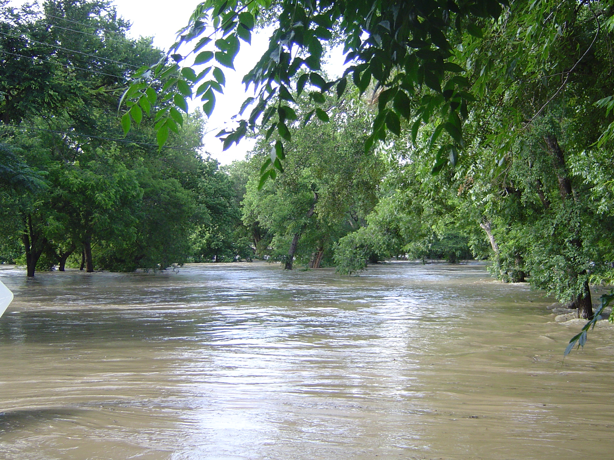
Legacy Gully

Gatesville, TX

Have you seen this sign in Gatesville? Future site of Holiday Inn Express.
E Leon St Bridge
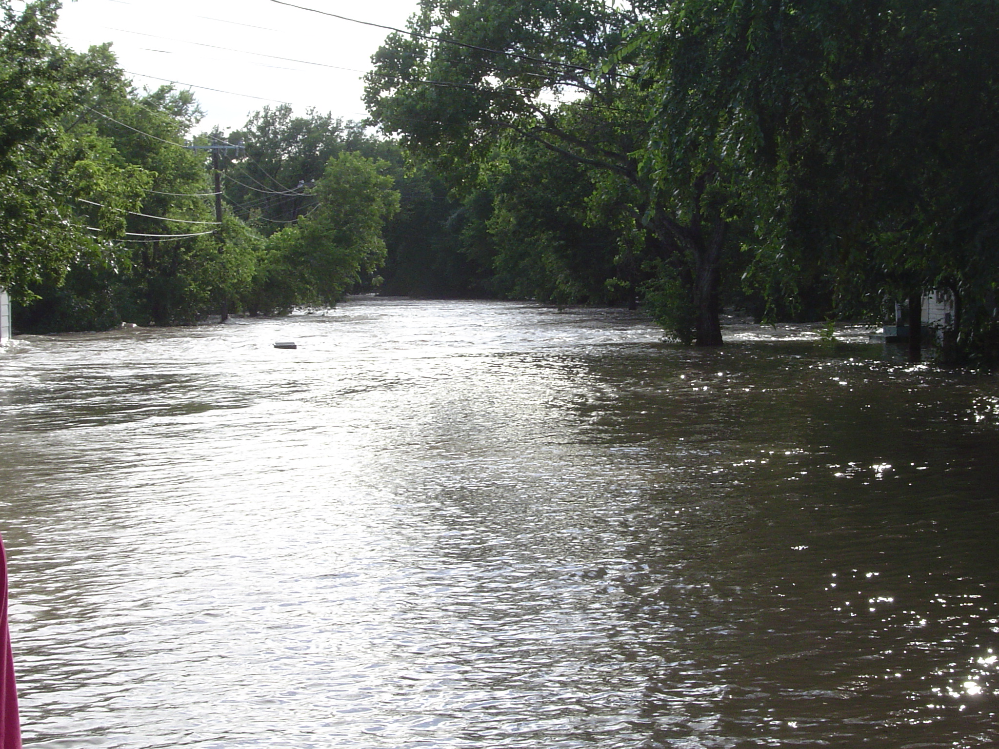
E Leon St

E Leon St Bridge
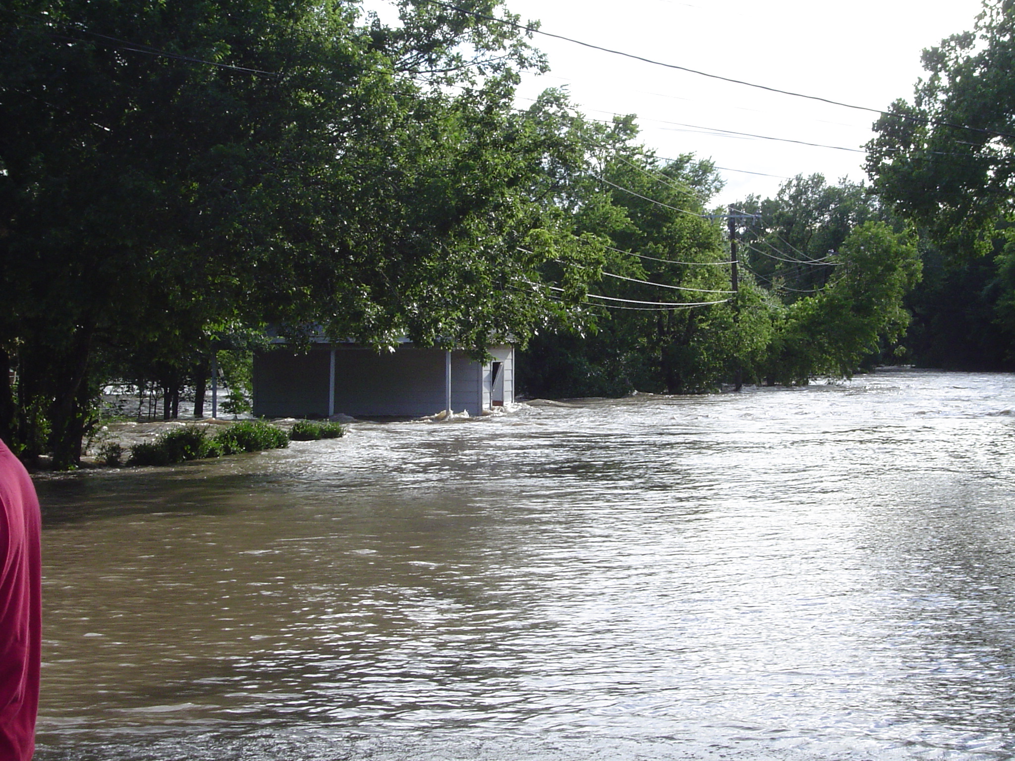
E Leon St
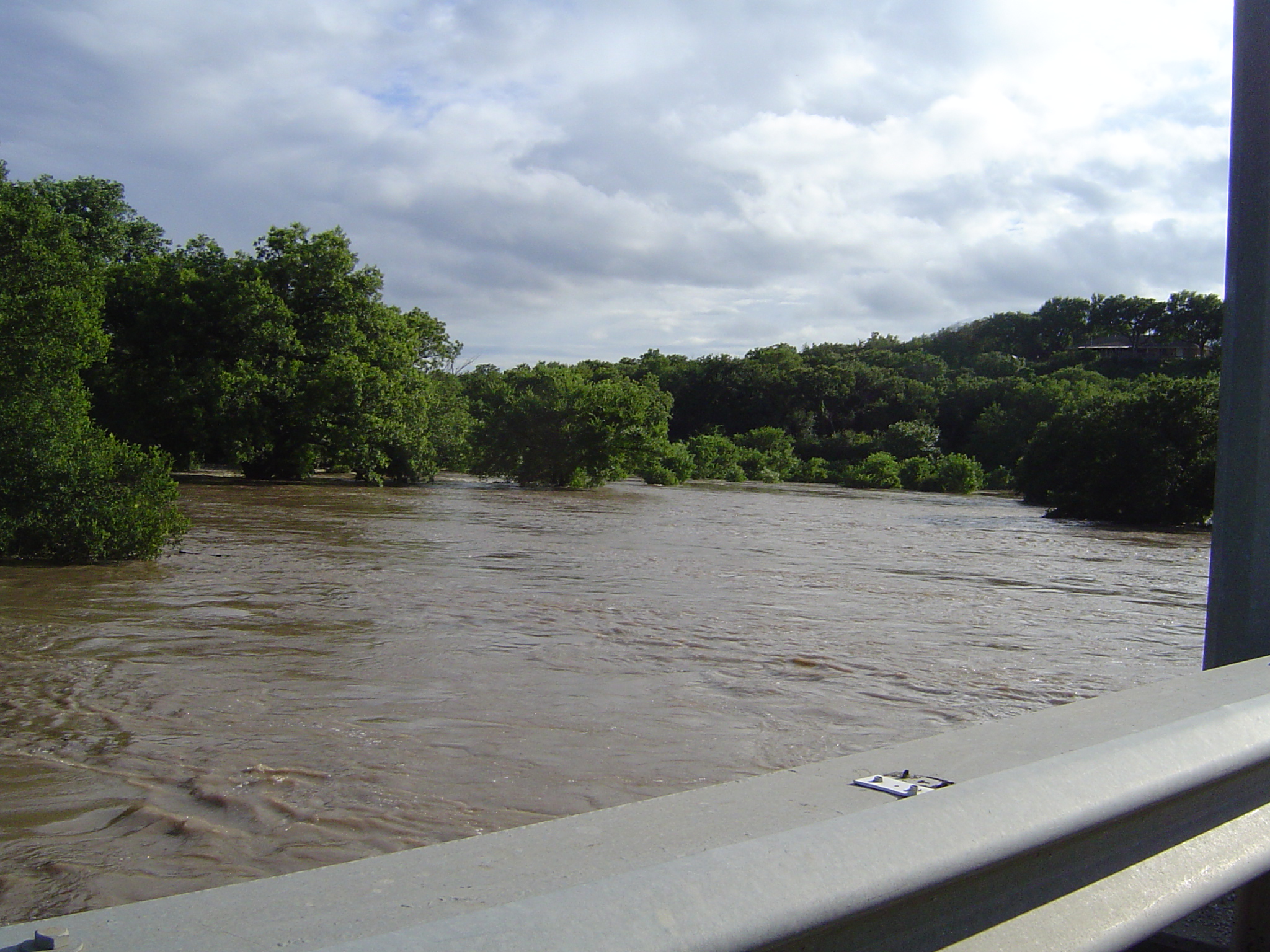
E Main St Bridge

20150509-NX4A0433
Topographic Map of Coryell County, TX, USA
Find elevation by address:

Places in Coryell County, TX, USA:
Places near Coryell County, TX, USA:
700 Melton Rd
235 Co Rd 195
King Rd, Gatesville, TX, USA
FM, Jonesboro, TX, USA
Gatesville
11305 Tx-36
TX-36, Jonesboro, TX, USA
1500 State School Rd
Jonesboro
106 Spotted Fawn
Cottonwood Drive
TX-36, Gatesville, TX, USA
36th Division Memorial Hwy, Jonesboro, TX, USA
Harman Road
3373 Co Rd 303
W Range Rd, Texas, USA
10345 Fm215
E Brooks Dr, Evant, TX, USA
Evant
Flat
Recent Searches:
- Elevation of Corso Fratelli Cairoli, 35, Macerata MC, Italy
- Elevation of Tallevast Rd, Sarasota, FL, USA
- Elevation of 4th St E, Sonoma, CA, USA
- Elevation of Black Hollow Rd, Pennsdale, PA, USA
- Elevation of Oakland Ave, Williamsport, PA, USA
- Elevation of Pedrógão Grande, Portugal
- Elevation of Klee Dr, Martinsburg, WV, USA
- Elevation of Via Roma, Pieranica CR, Italy
- Elevation of Tavkvetili Mountain, Georgia
- Elevation of Hartfords Bluff Cir, Mt Pleasant, SC, USA