Elevation of King Rd, Gatesville, TX, USA
Location: United States > Texas > Coryell County > Gatesville >
Longitude: -97.914093
Latitude: 31.380671
Elevation: 264m / 866feet
Barometric Pressure: 98KPa
Elevation Map:
Satellite Map:
Related Photos:

Moravitz Brothers, former Funeral Home in Gatesville, Texas, now a church
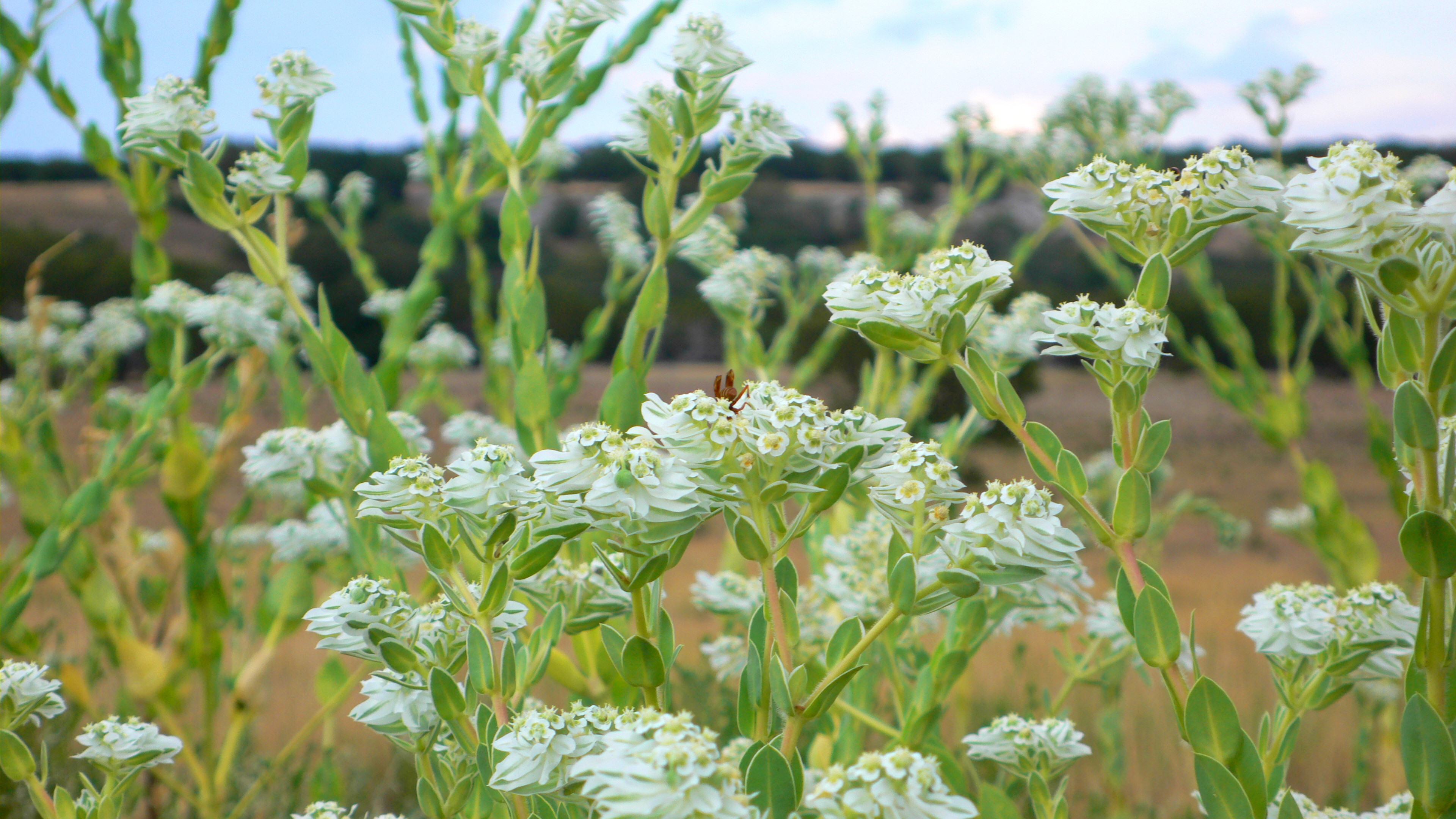
Diving in for the nectar

20150509-NX4A0433

Black-capped Vireo

Western Diamondback Rattlesnake

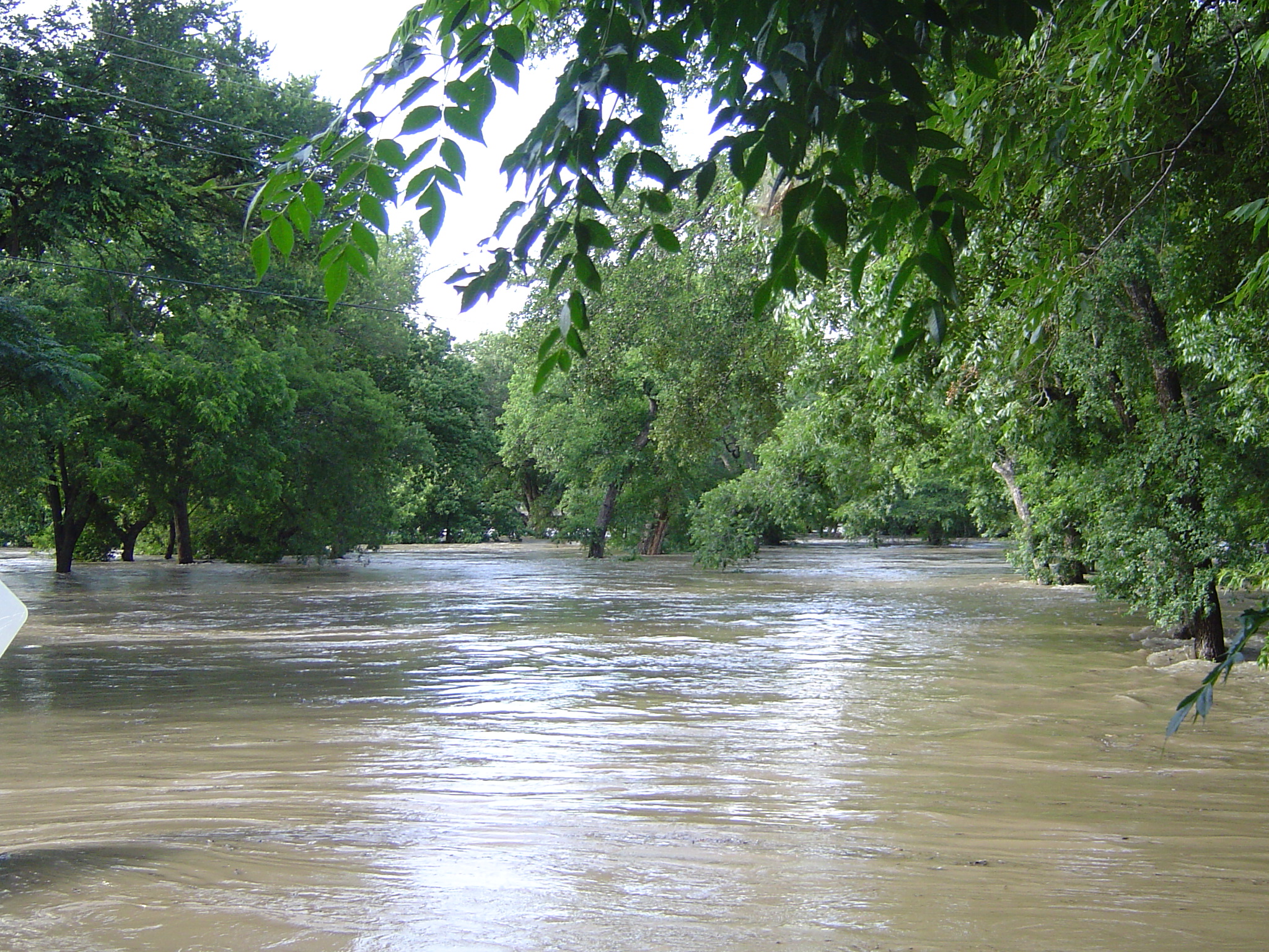
Legacy Gully
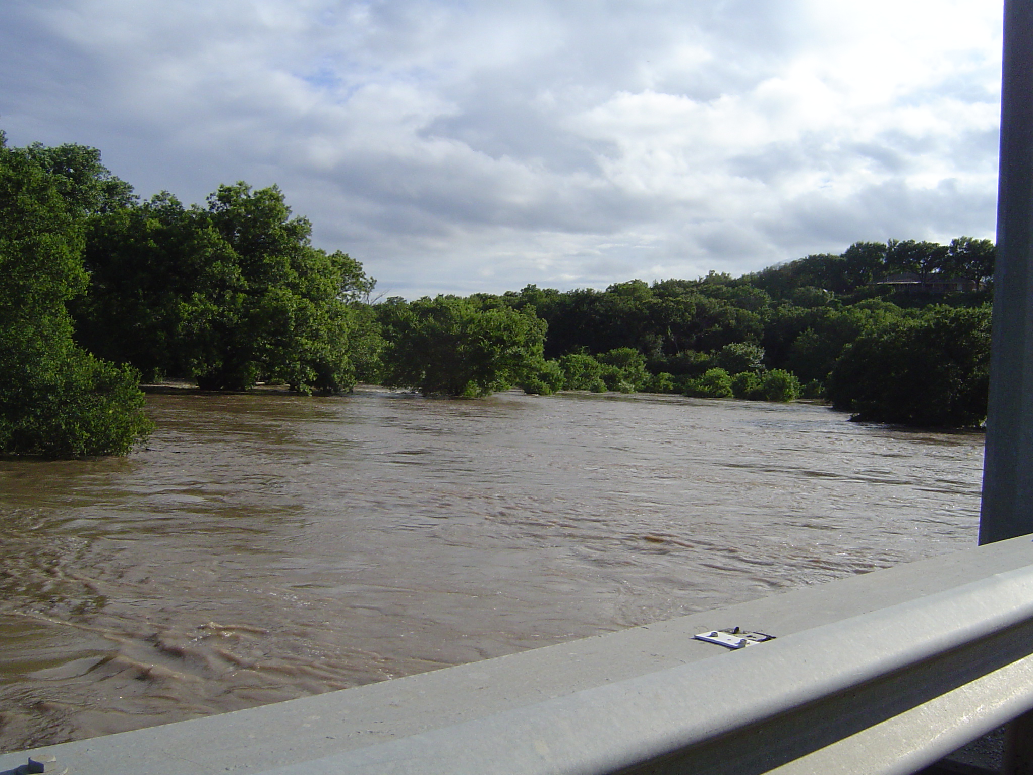
E Leon St Bridge
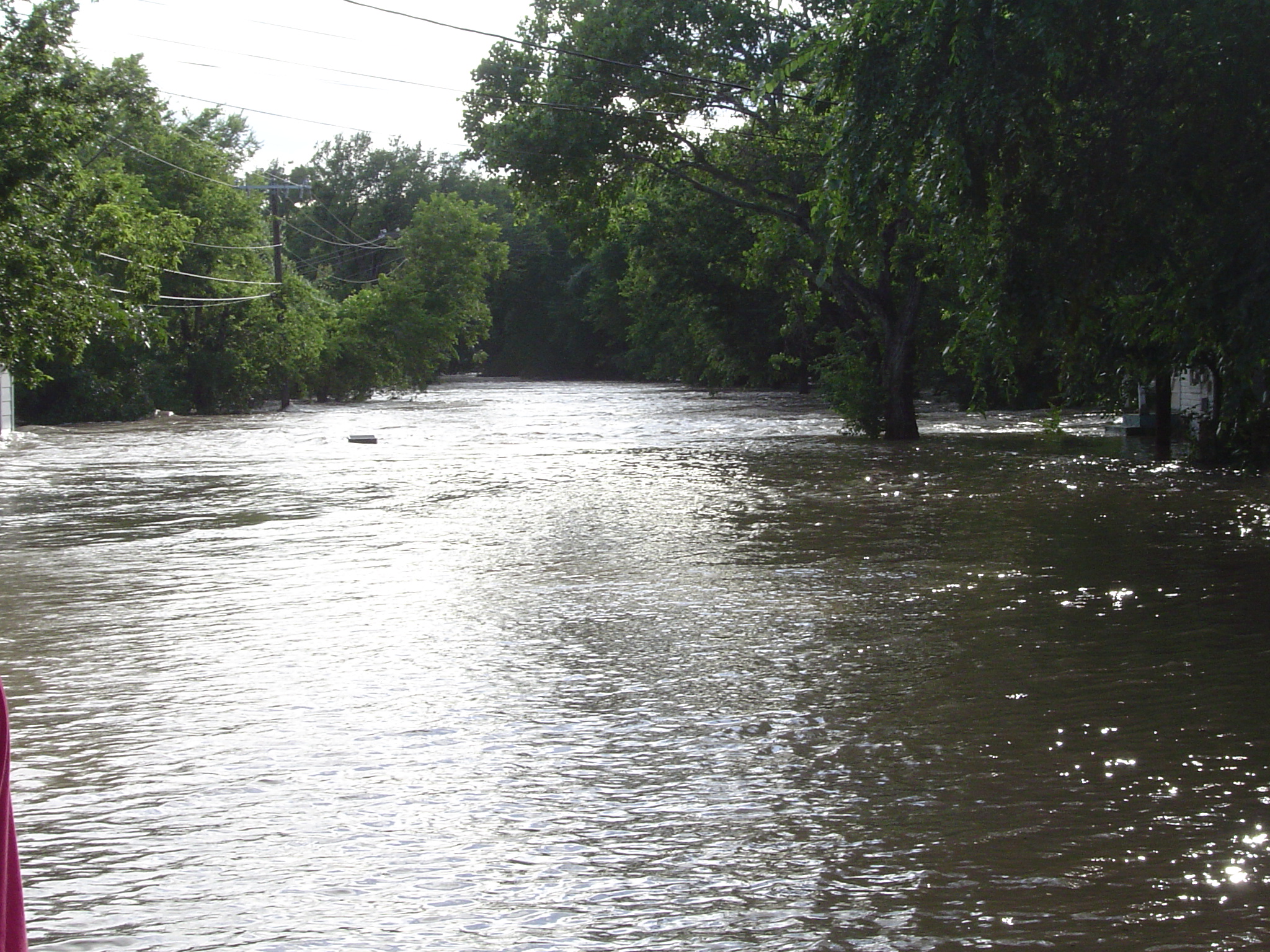
E Leon St

E Leon St Bridge
E Leon St
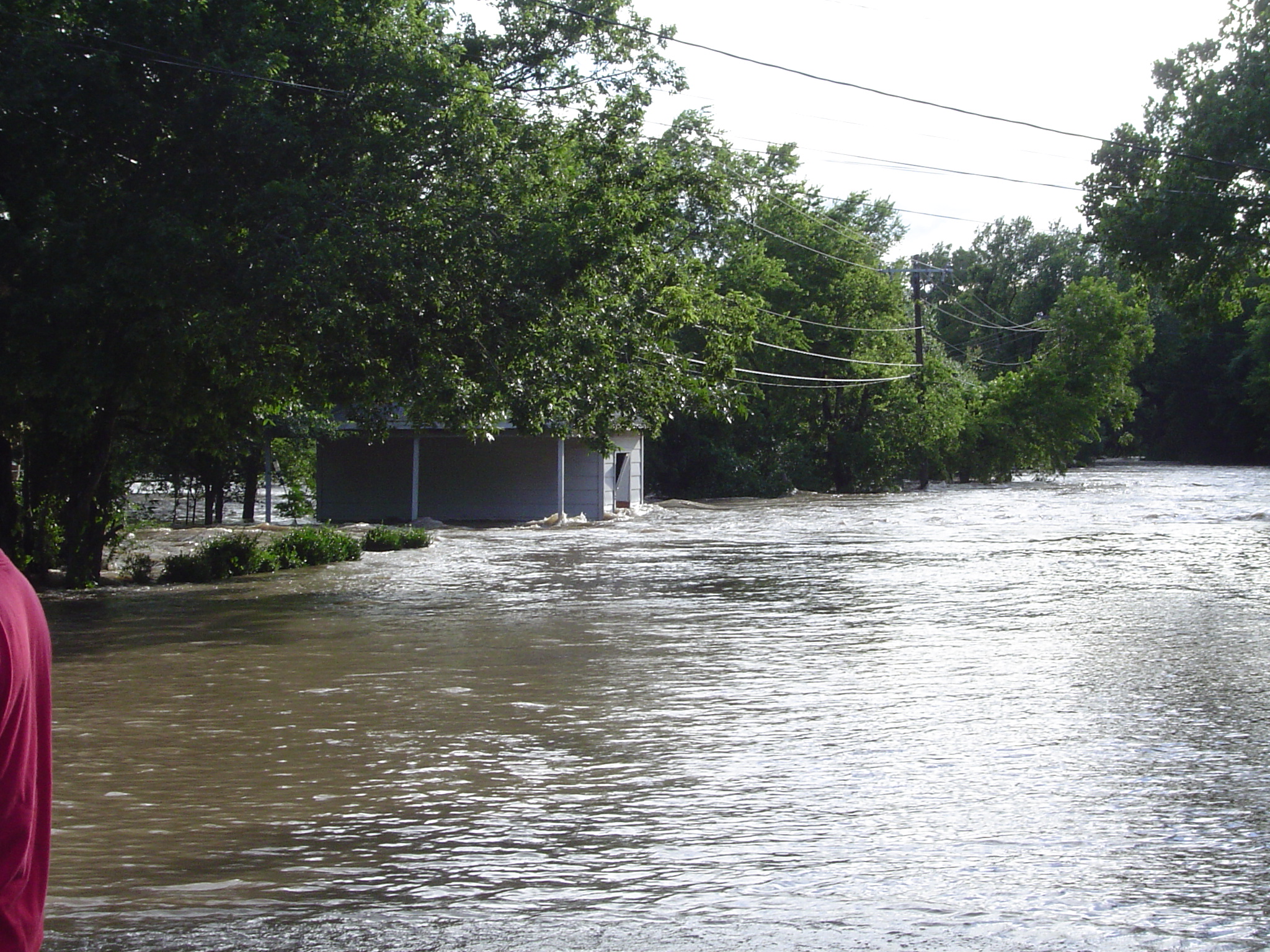
E Main St Bridge
Topographic Map of King Rd, Gatesville, TX, USA
Find elevation by address:

Places near King Rd, Gatesville, TX, USA:
106 Spotted Fawn
Coryell County
Harman Road
700 Melton Rd
Gatesville
Cottonwood Drive
W Range Rd, Texas, USA
FM, Jonesboro, TX, USA
235 Co Rd 195
1500 State School Rd
TX-36, Gatesville, TX, USA
11305 Tx-36
TX-36, Jonesboro, TX, USA
Jonesboro
860 Co Rd 3384
2979 Grimes Crossing Rd
287 Co Rd 3371
Fort Hood
E Brooks Dr, Evant, TX, USA
Evant
Recent Searches:
- Elevation of Corso Fratelli Cairoli, 35, Macerata MC, Italy
- Elevation of Tallevast Rd, Sarasota, FL, USA
- Elevation of 4th St E, Sonoma, CA, USA
- Elevation of Black Hollow Rd, Pennsdale, PA, USA
- Elevation of Oakland Ave, Williamsport, PA, USA
- Elevation of Pedrógão Grande, Portugal
- Elevation of Klee Dr, Martinsburg, WV, USA
- Elevation of Via Roma, Pieranica CR, Italy
- Elevation of Tavkvetili Mountain, Georgia
- Elevation of Hartfords Bluff Cir, Mt Pleasant, SC, USA