Elevation of Turnip Field Rd, Eastham, MA, USA
Location: United States > Massachusetts > Barnstable County > Eastham > North Eastham >
Longitude: -70.0029624
Latitude: 41.8568087
Elevation: 8m / 26feet
Barometric Pressure: 0KPa
Related Photos:

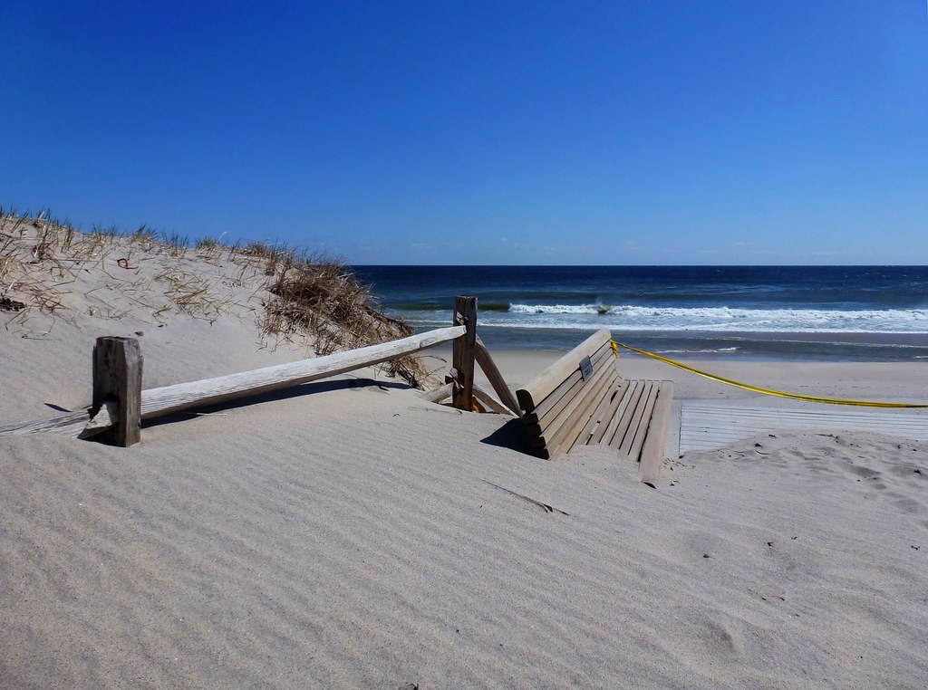
Sunset View from the Chairs II

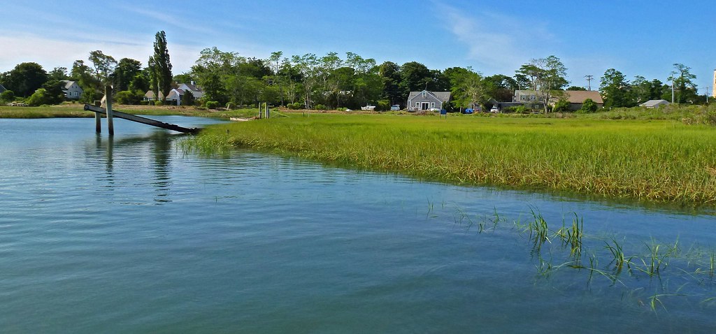
Marsh View at Sunset

Piling Reflections

Blue Morning Snow

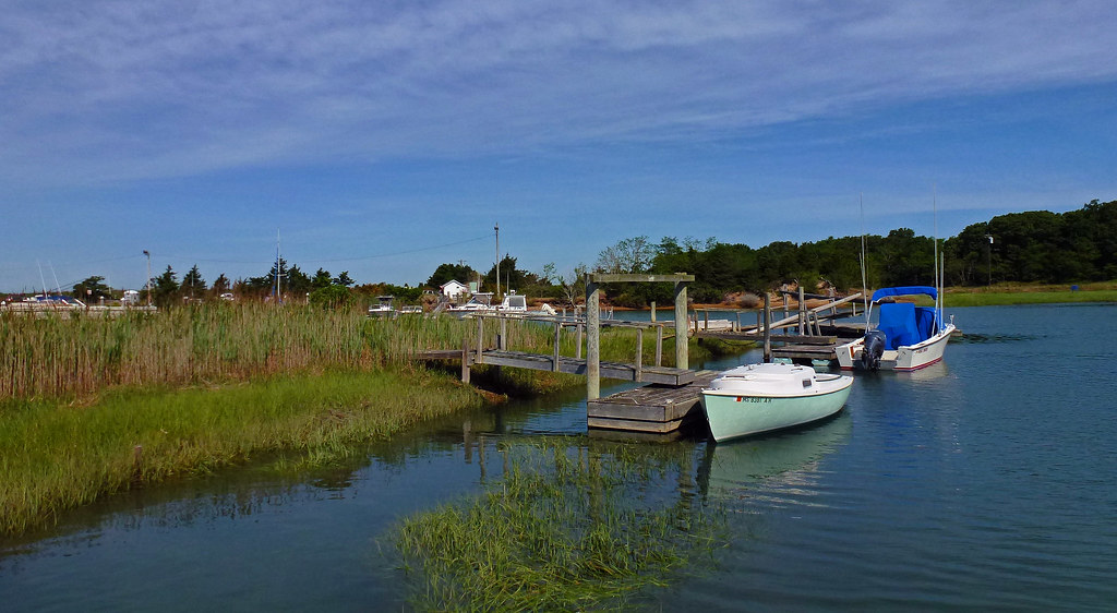
Empty Slips

Nauset Light - Eastham - Cape Cod

barn swallow (hirundo rustica)

Linger By The Beach - Explored 3/6/13

Linger View

Beach View

Linger By The Shore
Sand Covered

Sunset By The Dunes

Sunset Beach View

Rainbow at Sunset [Explored 7/29/12]
Rock Harbor View

Lone Tree at Sunset

6/19/13 - View from the House
Rock Harbor View

Storm Damage

Trees through Rain on Glass

Brewster Grist Mill Cape Cod

Sunset Strip

Sunset by The Rocks - Explored 3 - 2- 2013

The Fishing Pier

Rock Harbor Silhouette

Beauty and Erosion - Explored Feburary 27, 2013

Paines Creek

Wellfleet Sunset

A Ray of Light

Trotting Down The Beach

Over the Horizon

Sunset Layers

Winter Shoreline - Explored 3-5-13

Brewster Flats On A Sunny Day

Mayo Beach at Dusk

Herring Run - Brewster

The Last Rays of Sun Hit the Rocks
Topographic Map of Turnip Field Rd, Eastham, MA, USA
Find elevation by address:

Places near Turnip Field Rd, Eastham, MA, USA:
60 Bay Rd
695 Campground Rd
380 Cooks Brook Rd
90 Carlton Way
370 Cooks Brook Rd
95 Carlton Way
355 Steele Rd
25 Valley Rd
745 Massasoit Rd
45 Summit Ave
2850 Herring Brook Rd
3 Quason Ct
345 Massasoit Rd
North Eastham
490 S Sunken Meadow Rd
155 Sundown Ln
225 Captains Way
Karoo
12 N Sunken Meadow Rd
5 Sandy Meadow Way
Recent Searches:
- Elevation of Denver, 2314, Arapahoe Street, Five Points, Denver, Colorado, 80205, USA
- Elevation of Community of the Beatitudes, 2924, West 43rd Avenue, Sunnyside, Denver, Colorado, 80211, USA
- Elevation map of Litang County, Sichuan, China
- Elevation map of Madoi County, Qinghai, China
- Elevation of 3314, Ohio State Route 114, Payne, Paulding County, Ohio, 45880, USA
- Elevation of Sarahills Drive, Saratoga, Santa Clara County, California, 95070, USA
- Elevation of Town of Bombay, Franklin County, New York, USA
- Elevation of 9, Convent Lane, Center Moriches, Suffolk County, New York, 11934, USA
- Elevation of Saint Angelas Convent, 9, Convent Lane, Center Moriches, Suffolk County, New York, 11934, USA
- Elevation of 131st Street Southwest, Mukilteo, Snohomish County, Washington, 98275, USA
- Elevation of 304, Harrison Road, Naples, Cumberland County, Maine, 04055, USA
- Elevation of 2362, Timber Ridge Road, Harrisburg, Cabarrus County, North Carolina, 28075, USA
- Elevation of Ridge Road, Marshalltown, Marshall County, Iowa, 50158, USA
- Elevation of 2459, Misty Shadows Drive, Pigeon Forge, Sevier County, Tennessee, 37862, USA
- Elevation of 8043, Brightwater Way, Spring Hill, Williamson County, Tennessee, 37179, USA
- Elevation of Starkweather Road, San Luis, Costilla County, Colorado, 81152, USA
- Elevation of 5277, Woodside Drive, Baton Rouge, East Baton Rouge Parish, Louisiana, 70808, USA
- Elevation of 1139, Curtin Street, Shepherd Park Plaza, Houston, Harris County, Texas, 77018, USA
- Elevation of 136, Sellers Lane, Repton, Monroe County, Alabama, 36475, USA
- Elevation of 12914, Elmington Drive, Lakewood Forest, Houston, Harris County, Texas, 77429, USA