Elevation of Turnbull Road, Turnbull Rd, Cape Fear, NC, USA
Location: United States > North Carolina > Cumberland County > Cedar Creek > Cape Fear >
Longitude: -78.6837993
Latitude: 34.8930219
Elevation: 34m / 112feet
Barometric Pressure: 0KPa
Related Photos:

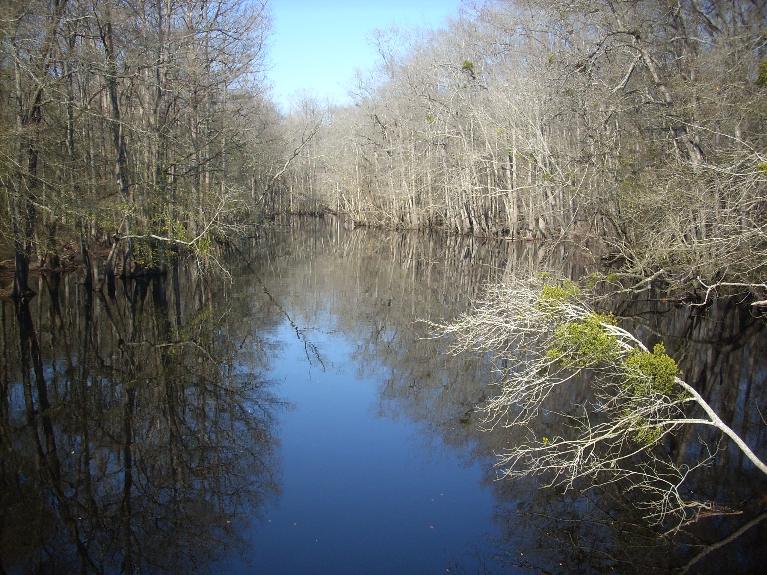
Golden-winged Skimmer Male 2

The S-XP

Chris getting more miles

Mark at Cedar Creek
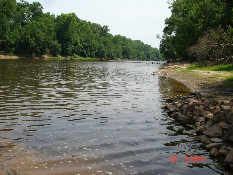
South River

Washington, D.C., during October, 2018

Wood Duck Box

Beaver Dam Creek

20150517-DSC_6690
Cape Fear River Low Water Level South Lock 3
Topographic Map of Turnbull Road, Turnbull Rd, Cape Fear, NC, USA
Find elevation by address:

Places near Turnbull Road, Turnbull Rd, Cape Fear, NC, USA:
9655 Turnbull Rd
Beaver Dam
Fayetteville, NC, USA
3091 Bogie Island Rd
2945 Stedman Cedar Creek Rd
Cumberland County
Cedar Creek
Fayetteville, NC, USA
7661 Beaver Dam Rd
14439 Nc-53
White Oak
Cape Fear
W Williams St, Autryville, NC, USA
101 E Williams St
Stedman
North Carolina 242
1750 Nixon Rd
824 Blawell St
Nc Hwy N, Elizabethtown, NC, USA
White Oak, NC, USA
Recent Searches:
- Elevation map of Greenland, Greenland
- Elevation of Sullivan Hill, New York, New York, 10002, USA
- Elevation of Morehead Road, Withrow Downs, Charlotte, Mecklenburg County, North Carolina, 28262, USA
- Elevation of 2800, Morehead Road, Withrow Downs, Charlotte, Mecklenburg County, North Carolina, 28262, USA
- Elevation of Yangbi Yi Autonomous County, Yunnan, China
- Elevation of Pingpo, Yangbi Yi Autonomous County, Yunnan, China
- Elevation of Mount Malong, Pingpo, Yangbi Yi Autonomous County, Yunnan, China
- Elevation map of Yongping County, Yunnan, China
- Elevation of North 8th Street, Palatka, Putnam County, Florida, 32177, USA
- Elevation of 107, Big Apple Road, East Palatka, Putnam County, Florida, 32131, USA
- Elevation of Jiezi, Chongzhou City, Sichuan, China
- Elevation of Chongzhou City, Sichuan, China
- Elevation of Huaiyuan, Chongzhou City, Sichuan, China
- Elevation of Qingxia, Chengdu, Sichuan, China
- Elevation of Corso Fratelli Cairoli, 35, Macerata MC, Italy
- Elevation of Tallevast Rd, Sarasota, FL, USA
- Elevation of 4th St E, Sonoma, CA, USA
- Elevation of Black Hollow Rd, Pennsdale, PA, USA
- Elevation of Oakland Ave, Williamsport, PA, USA
- Elevation of Pedrógão Grande, Portugal