Elevation of Tuba City, AZ, USA
Location: United States > Arizona > Coconino County >
Longitude: -111.23986
Latitude: 36.1349928
Elevation: 1512m / 4961feet
Barometric Pressure: 84KPa
Elevation Map:
Satellite Map:
Related Photos:
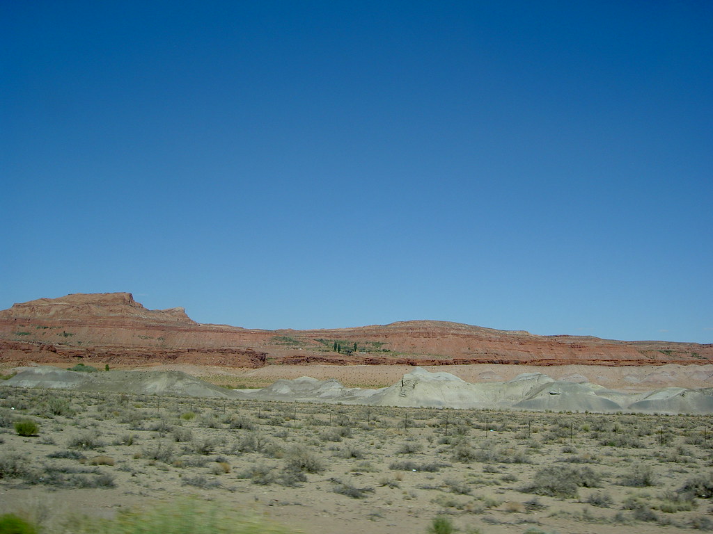
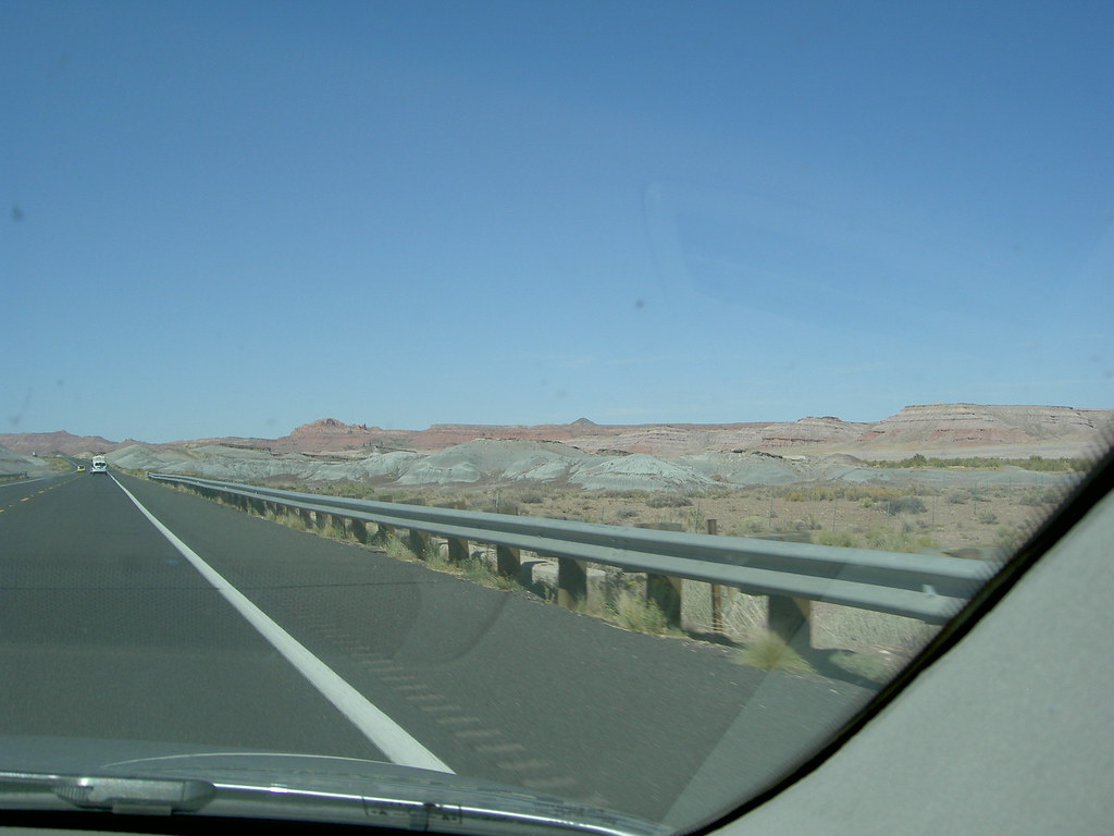
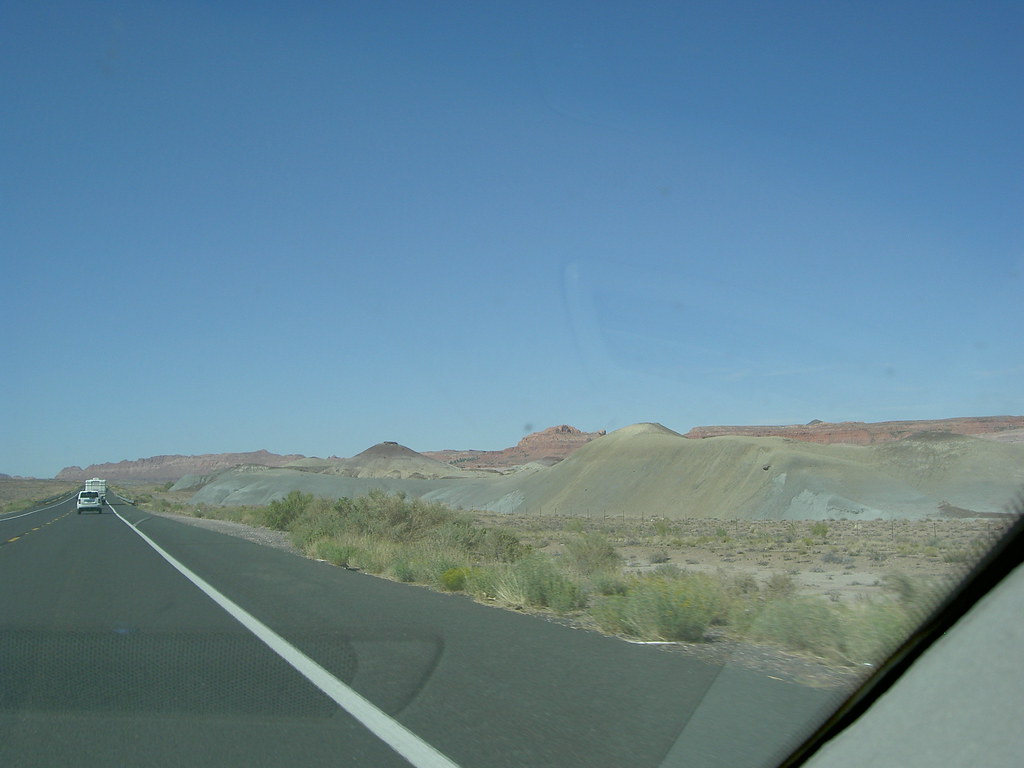
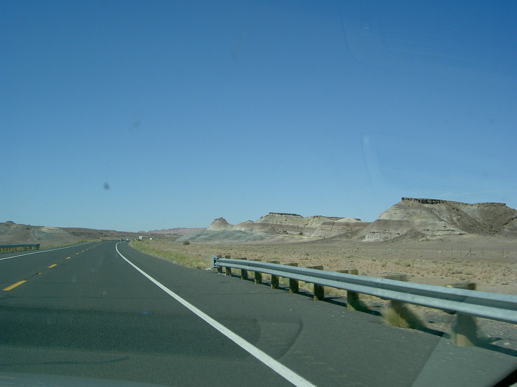
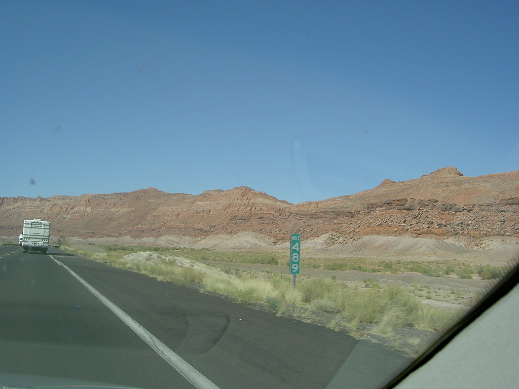
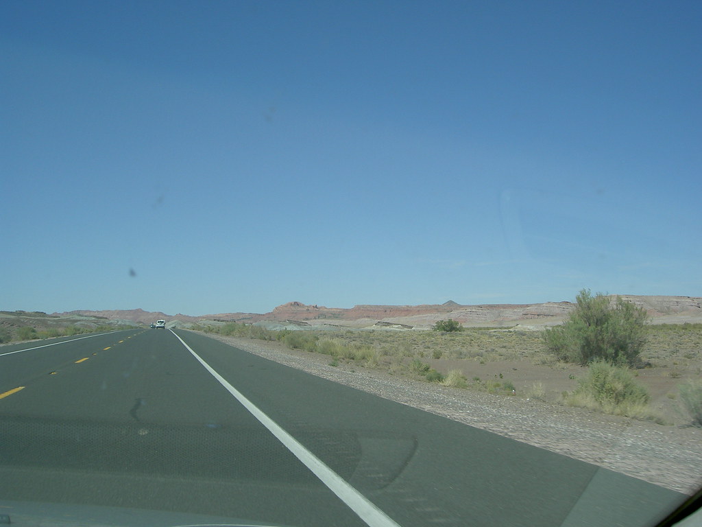
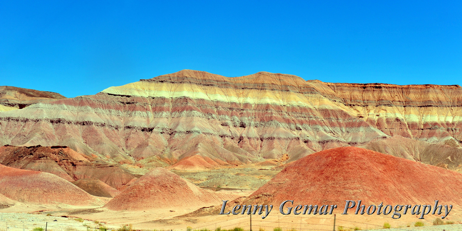
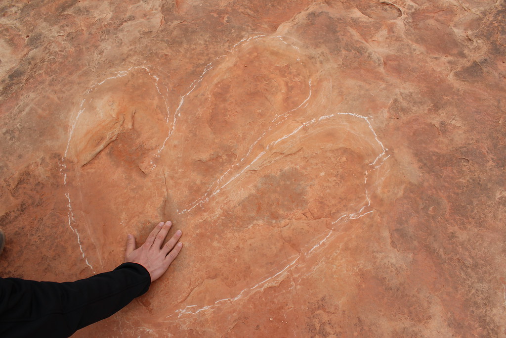
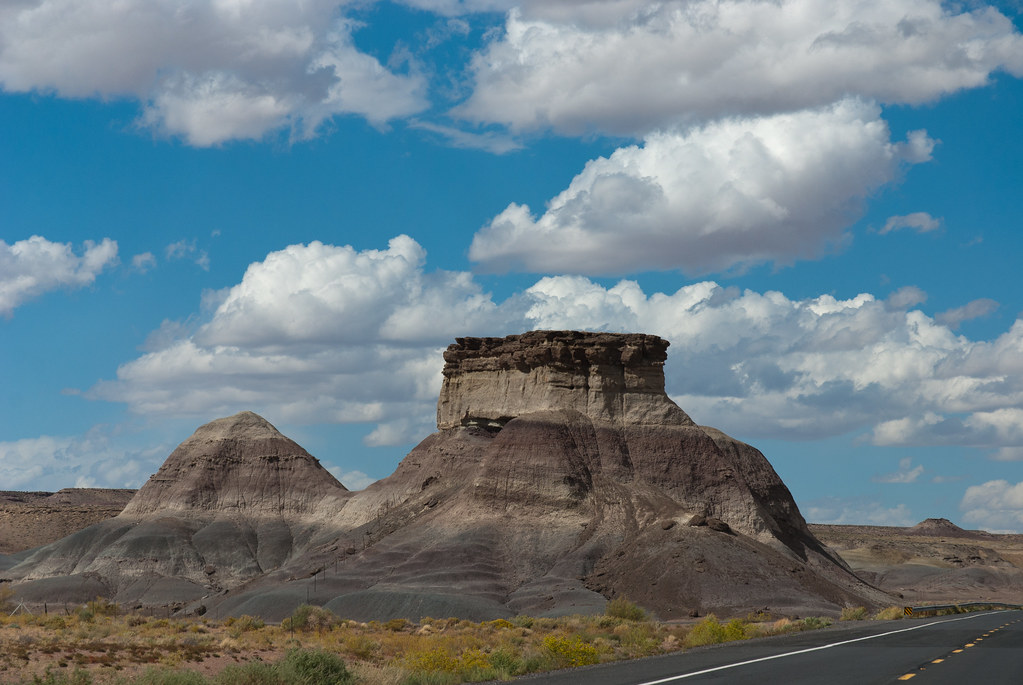
From Flagstaff to Page, Views on the Road
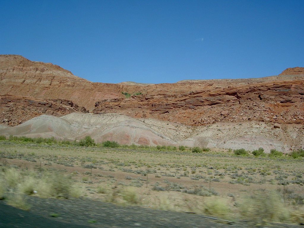
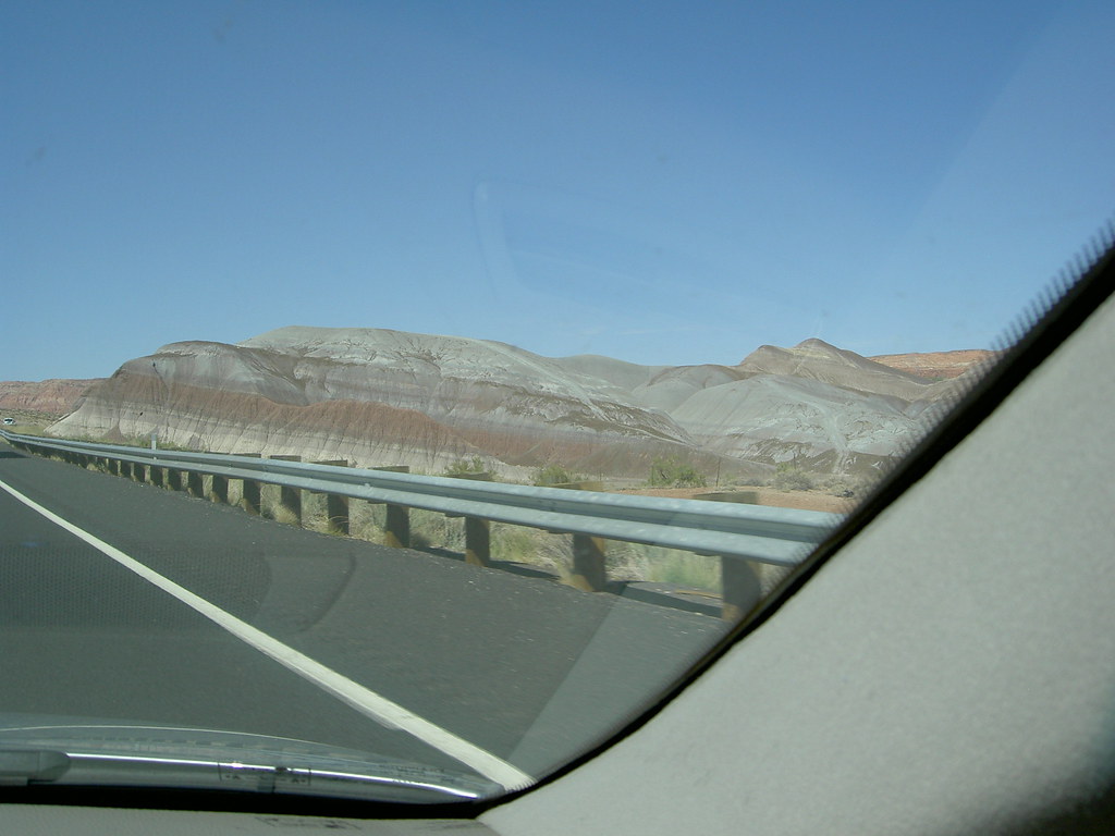
From Flagstaff to Page, Views on the Road
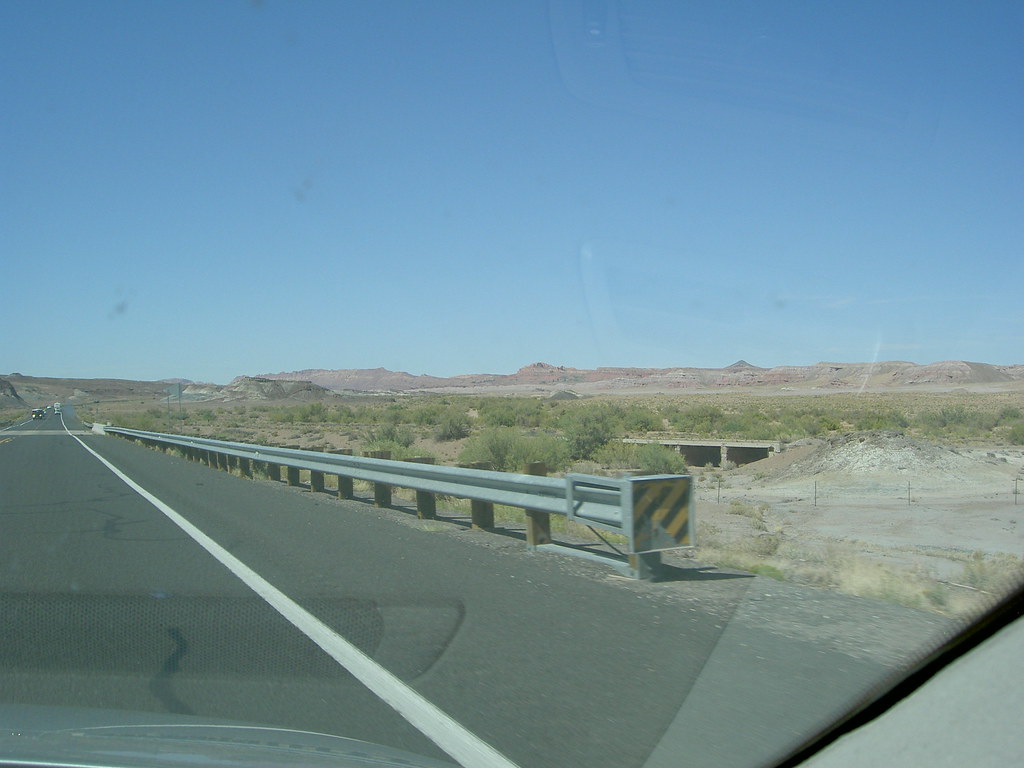
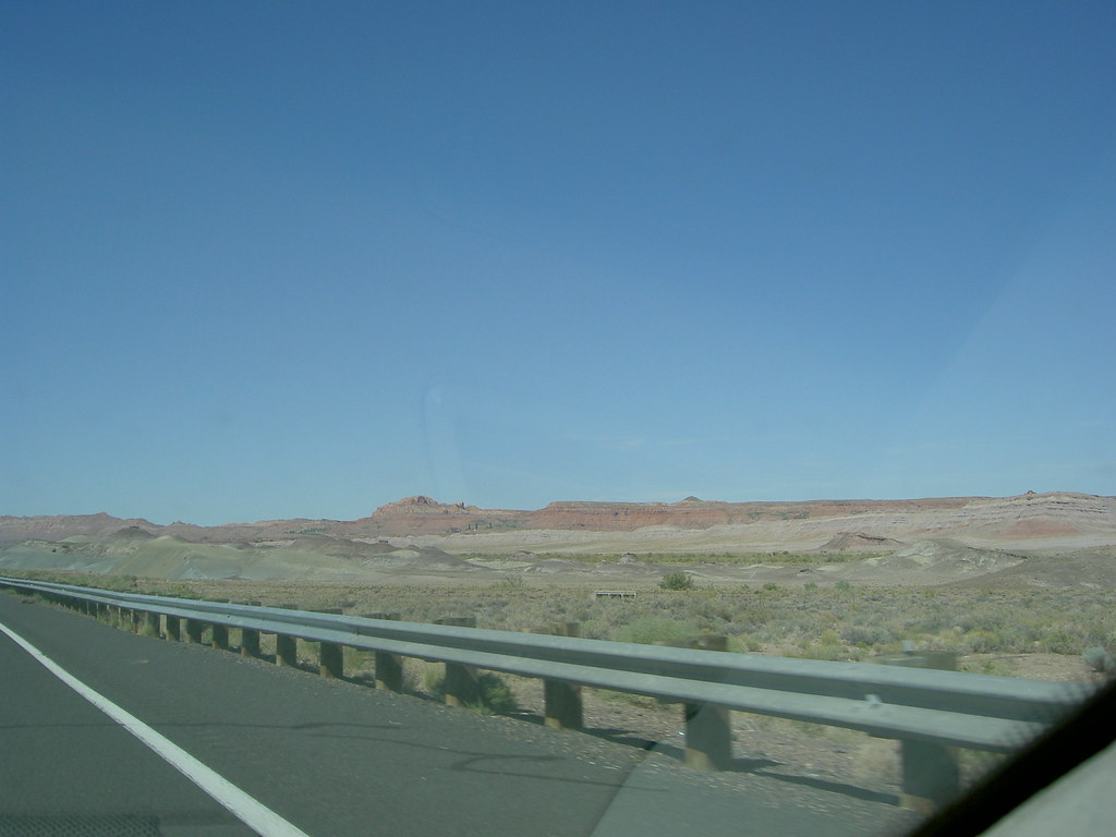
From Flagstaff to Page, Views on the Road
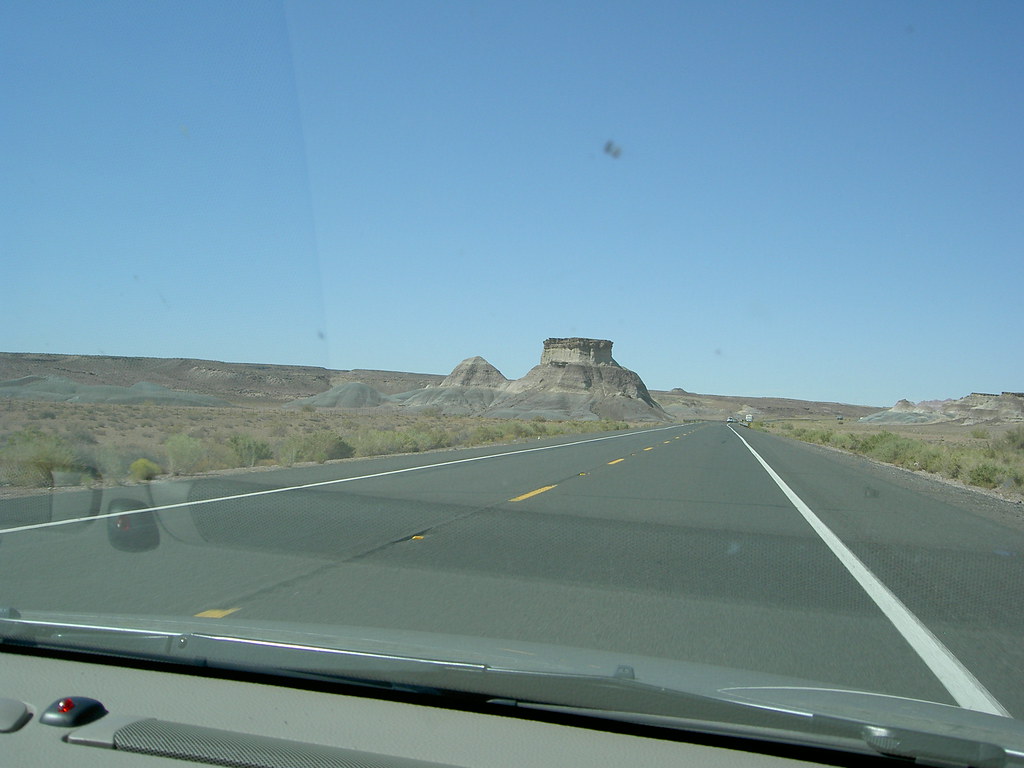
From Flagstaff to Page, Views on the Road
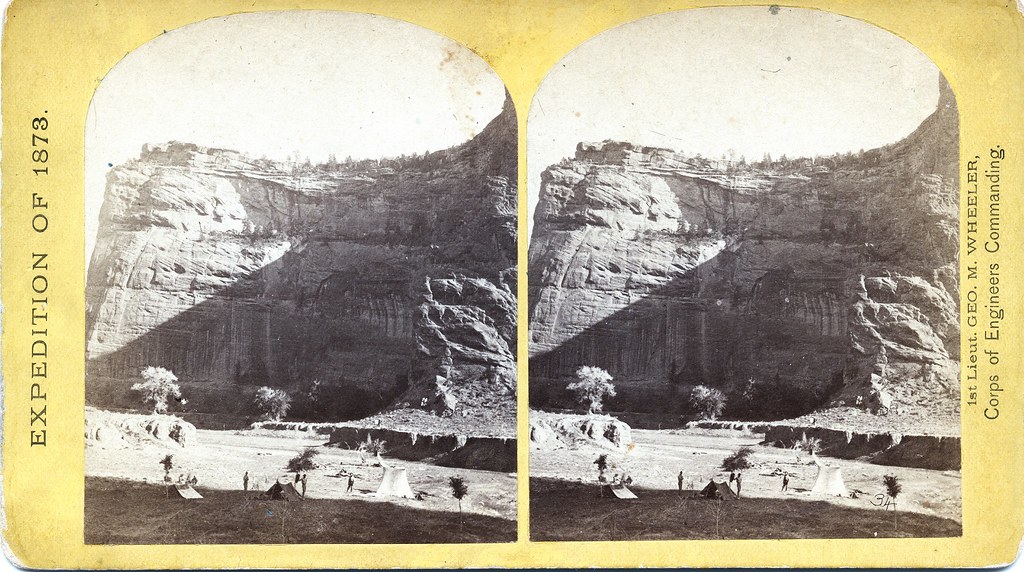
Timothy O'Sullivan - Circle Wall, Canon de Chelle, 1873
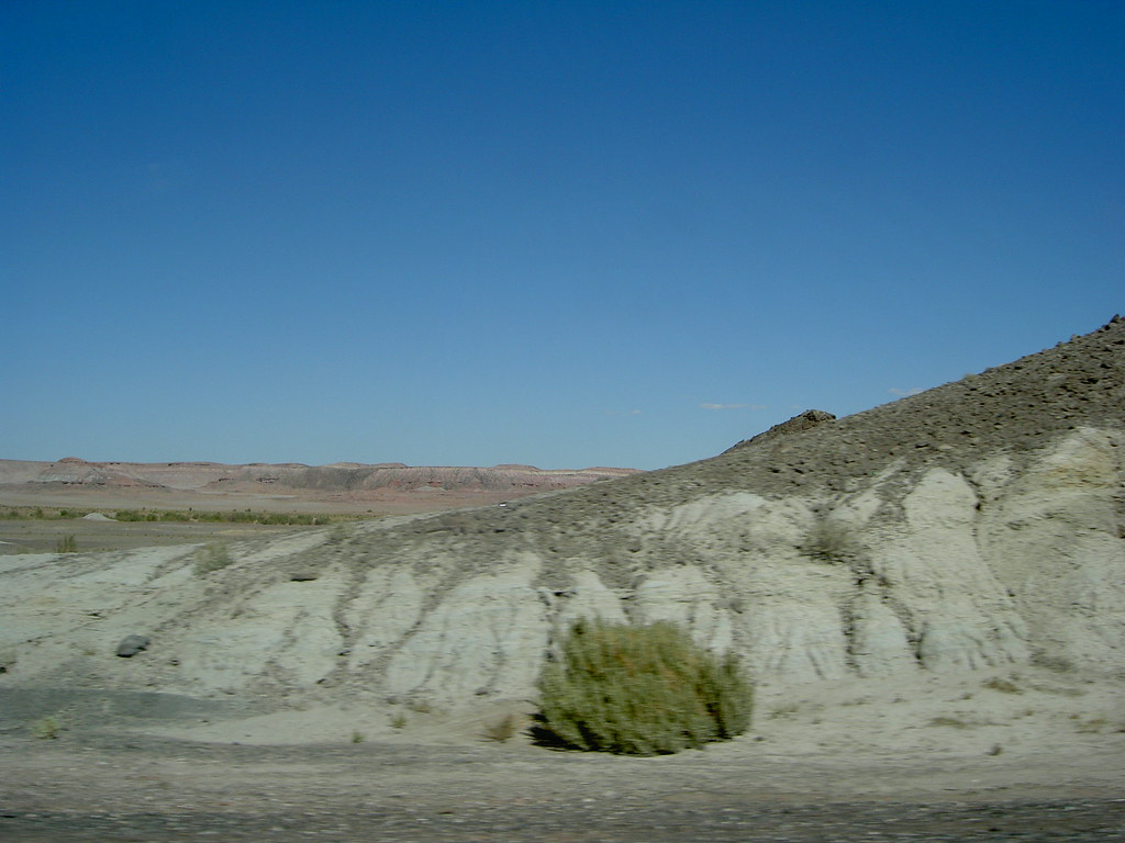
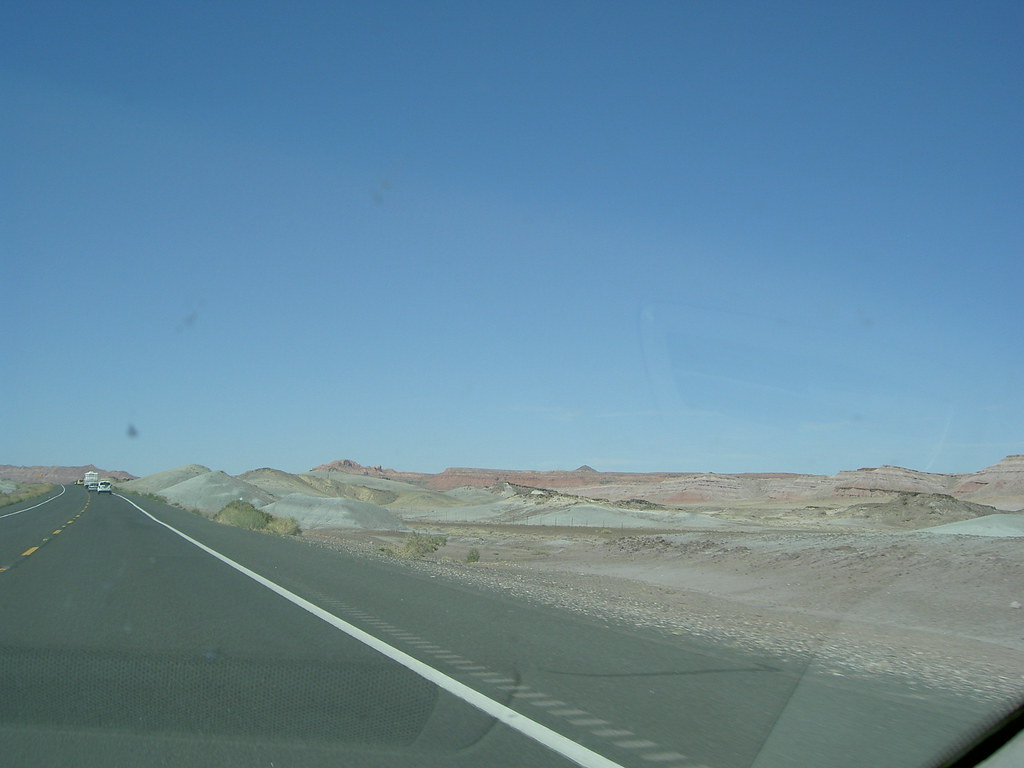
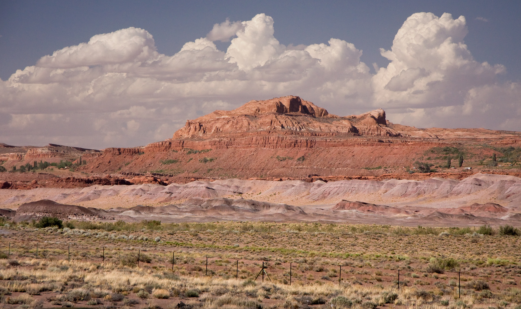
From Flagstaff to Page, Views on the Road
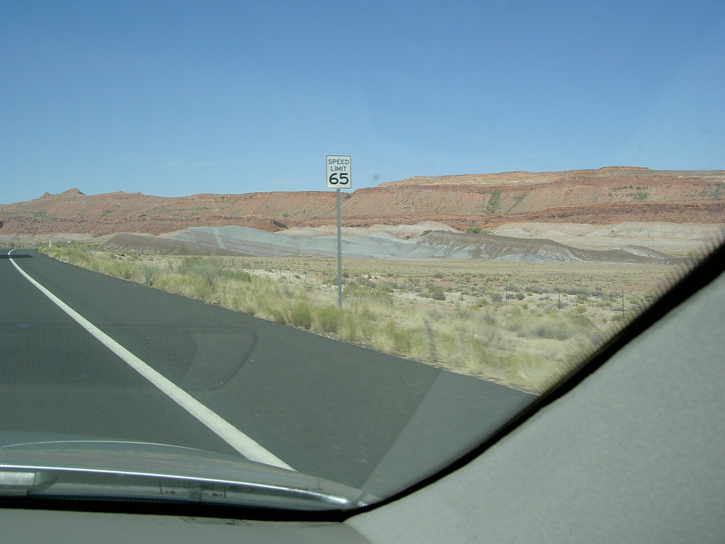
From Flagstaff to Page, Views on the Road
From Flagstaff to Page, Views on the Road
From Flagstaff to Page, Views on the Road
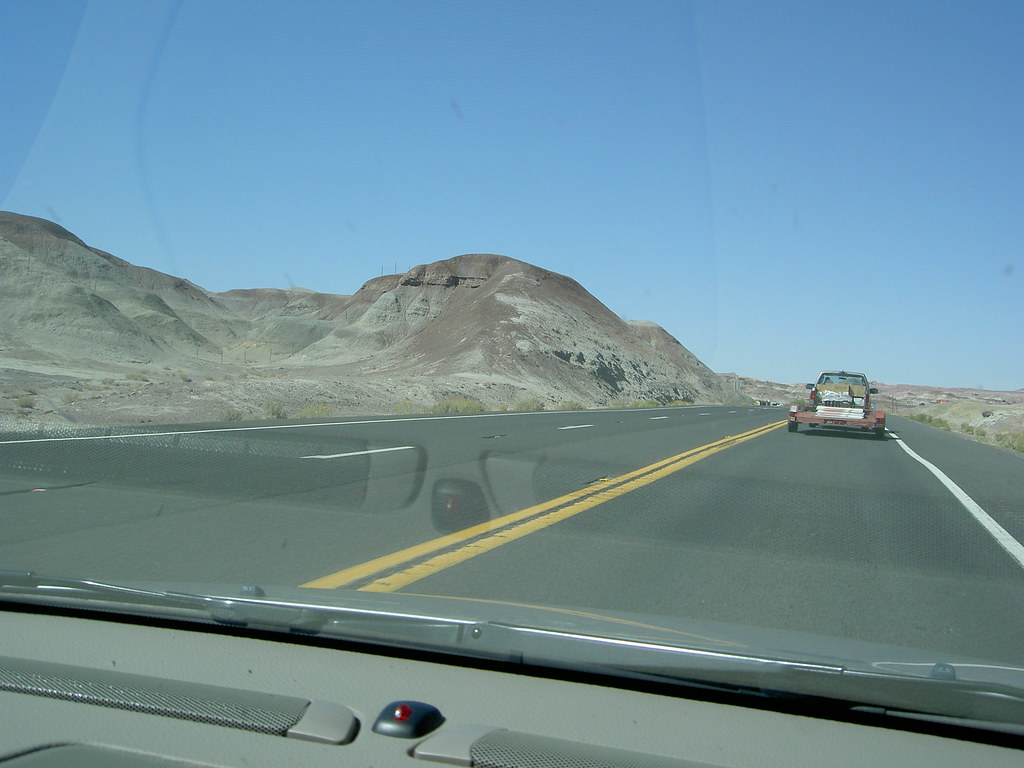
From Flagstaff to Page, Views on the Road
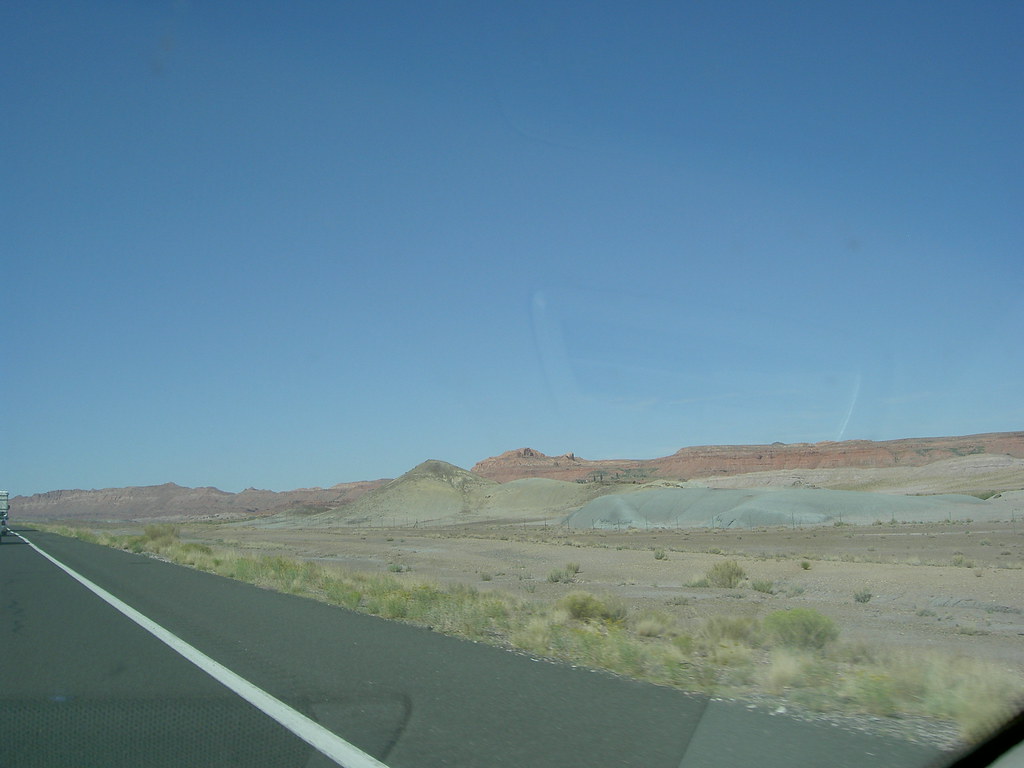
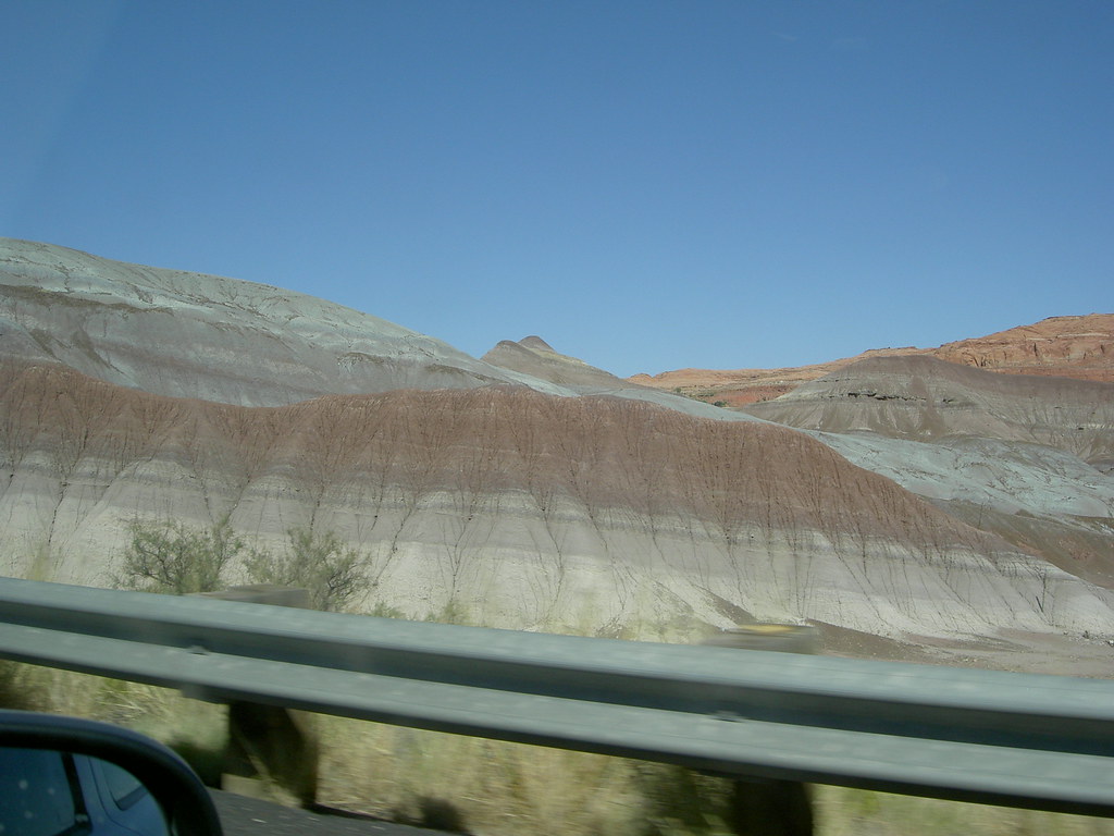
From Flagstaff to Page, Views on the Road
From Flagstaff to Page, Views on the Road
From Flagstaff to Page, Views on the Road
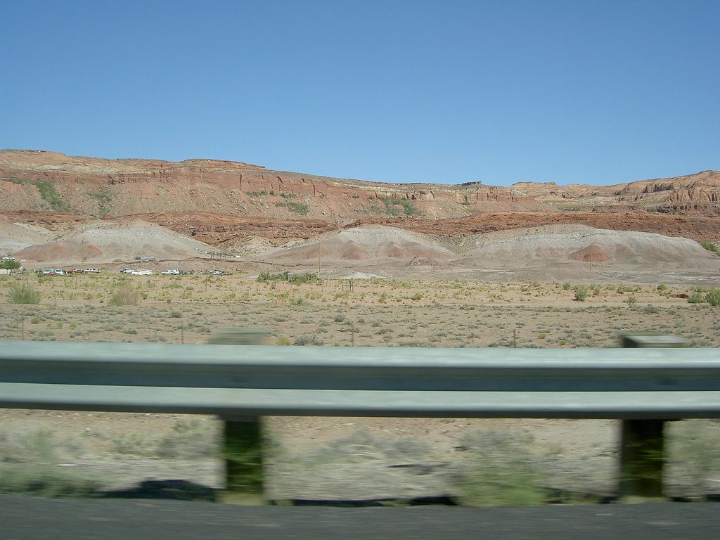
From Flagstaff to Page, Views on the Road
From Flagstaff to Page, Views on the Road
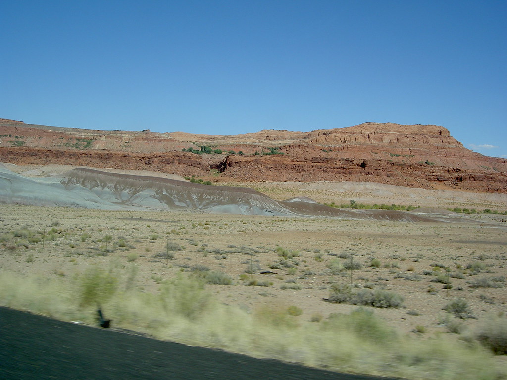
From Flagstaff to Page, Views on the Road
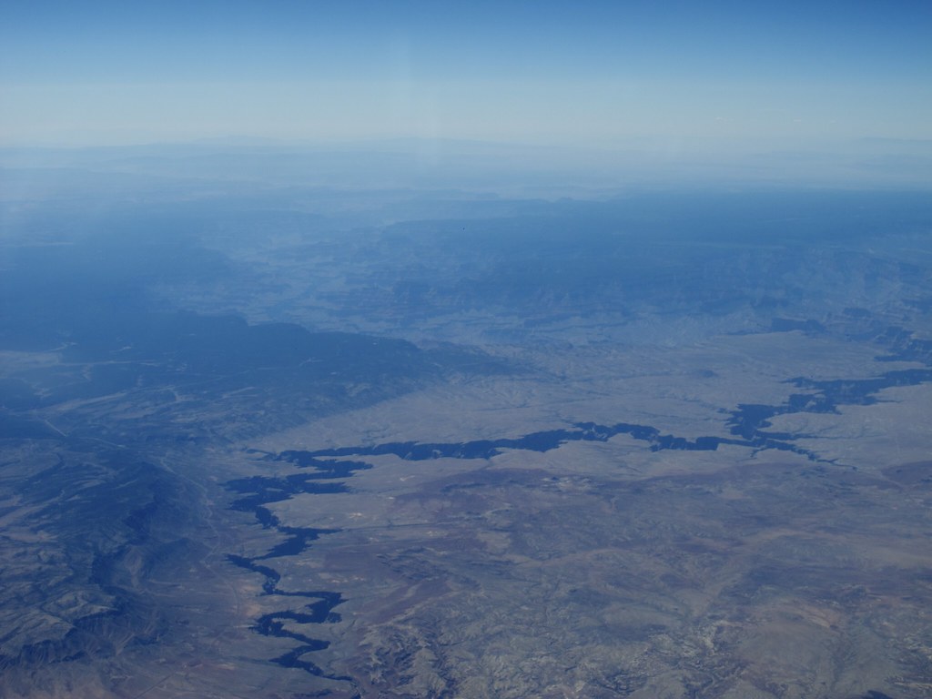
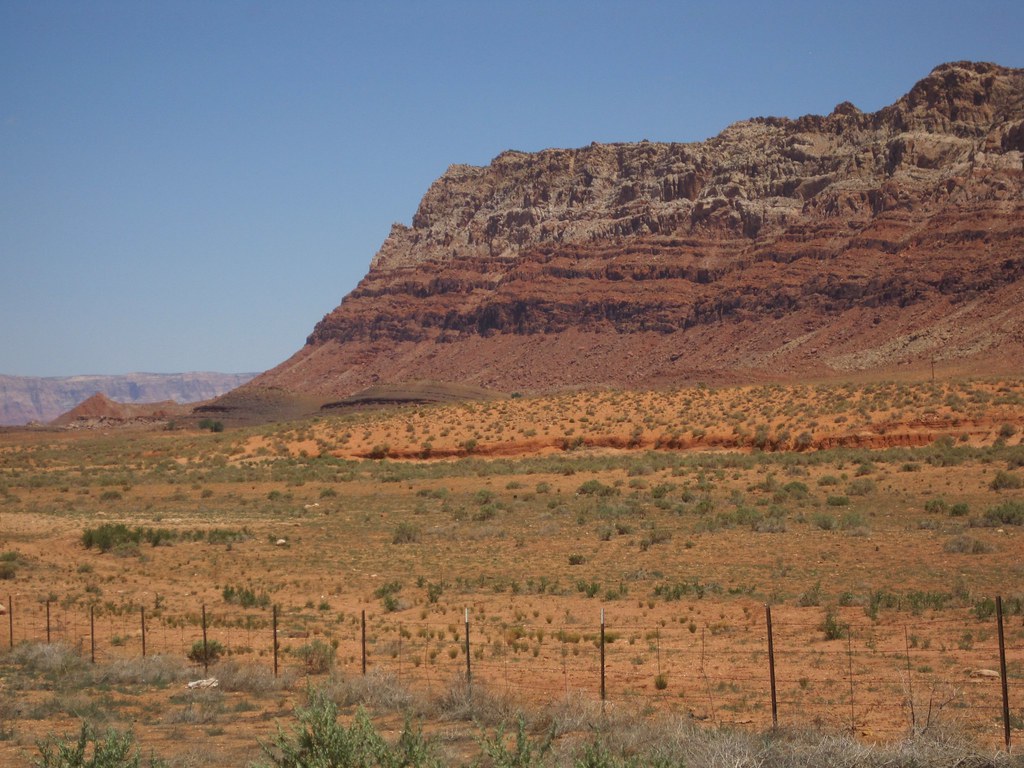
Eastern Grand Canyon
From Flagstaff to Page, Views on the Road
From Flagstaff to Page, Views on the Road
From Flagstaff to Page, Views on the Road
From Flagstaff to Page, Views on the Road
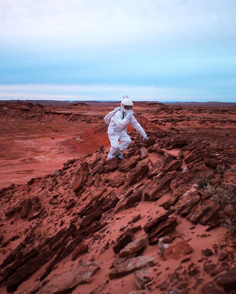
Climbing|Planets
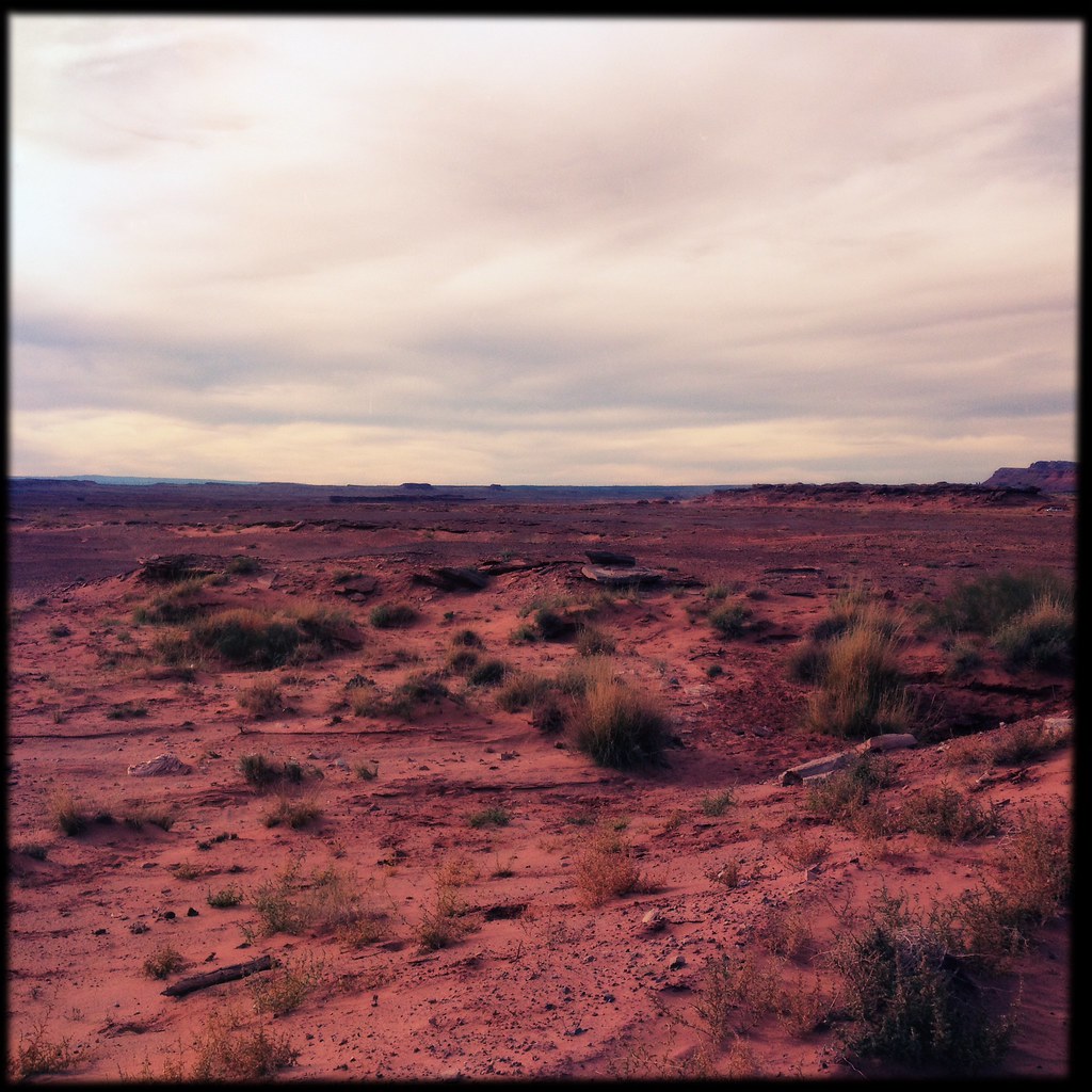
Arizona Red Dirt
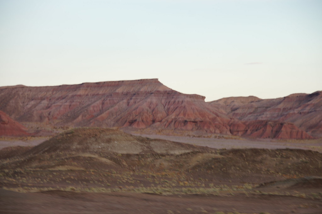
Cool formations caught on photo while flying down the highway
20090821_124121_28892-X3

Setting sun changes the color of everything.
Such a beautiful part of Arizona #raam2012
Canon-1537-USA-2012-04-13
Cool formations caught on photo while flying down the highway
erinnert stark an Painted Desert im Petrified Forest N.P.
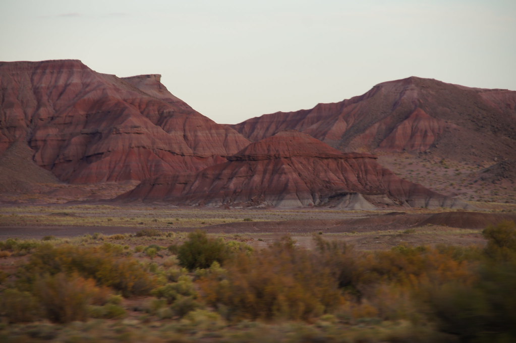
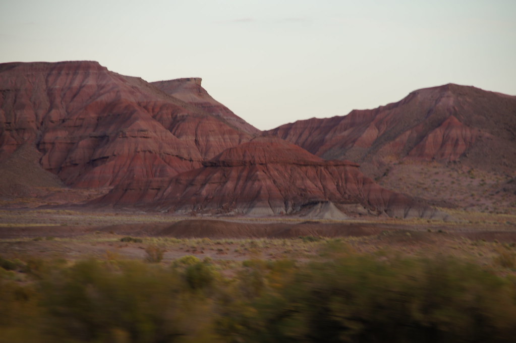
Painted Desert
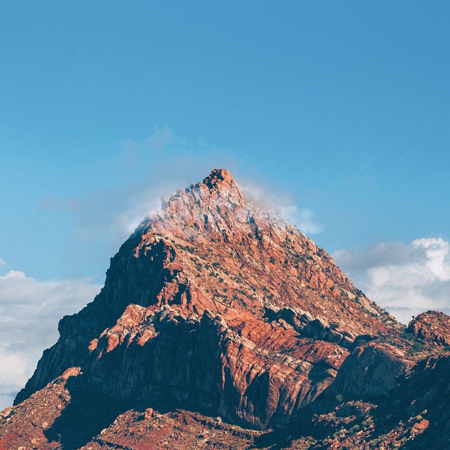
P E A K || ????
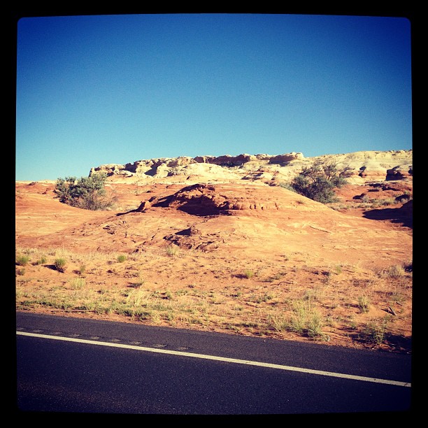
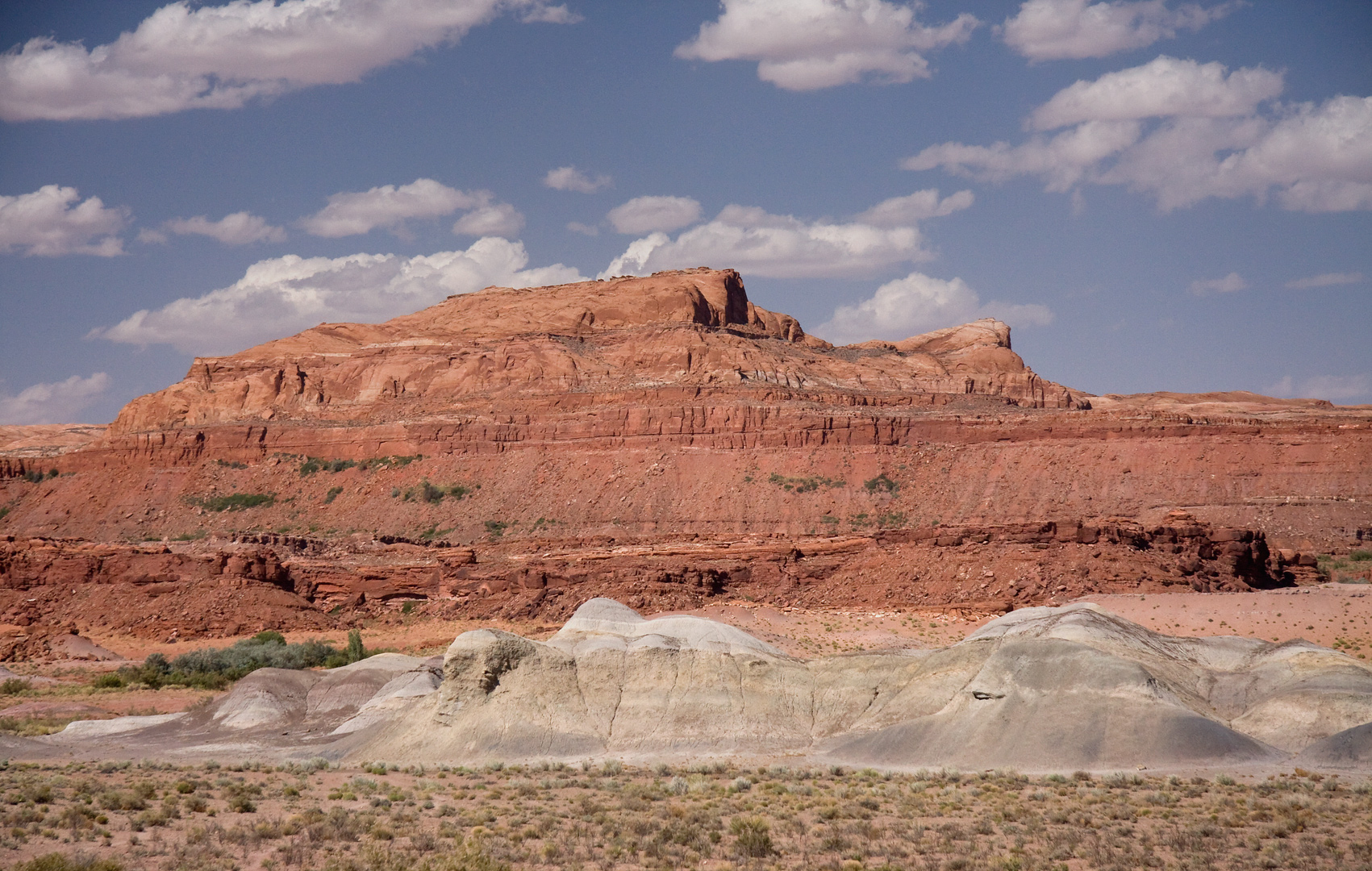
Hwy 89, near Tuba City, AZ
Cool formations caught on photo while flying down the highway
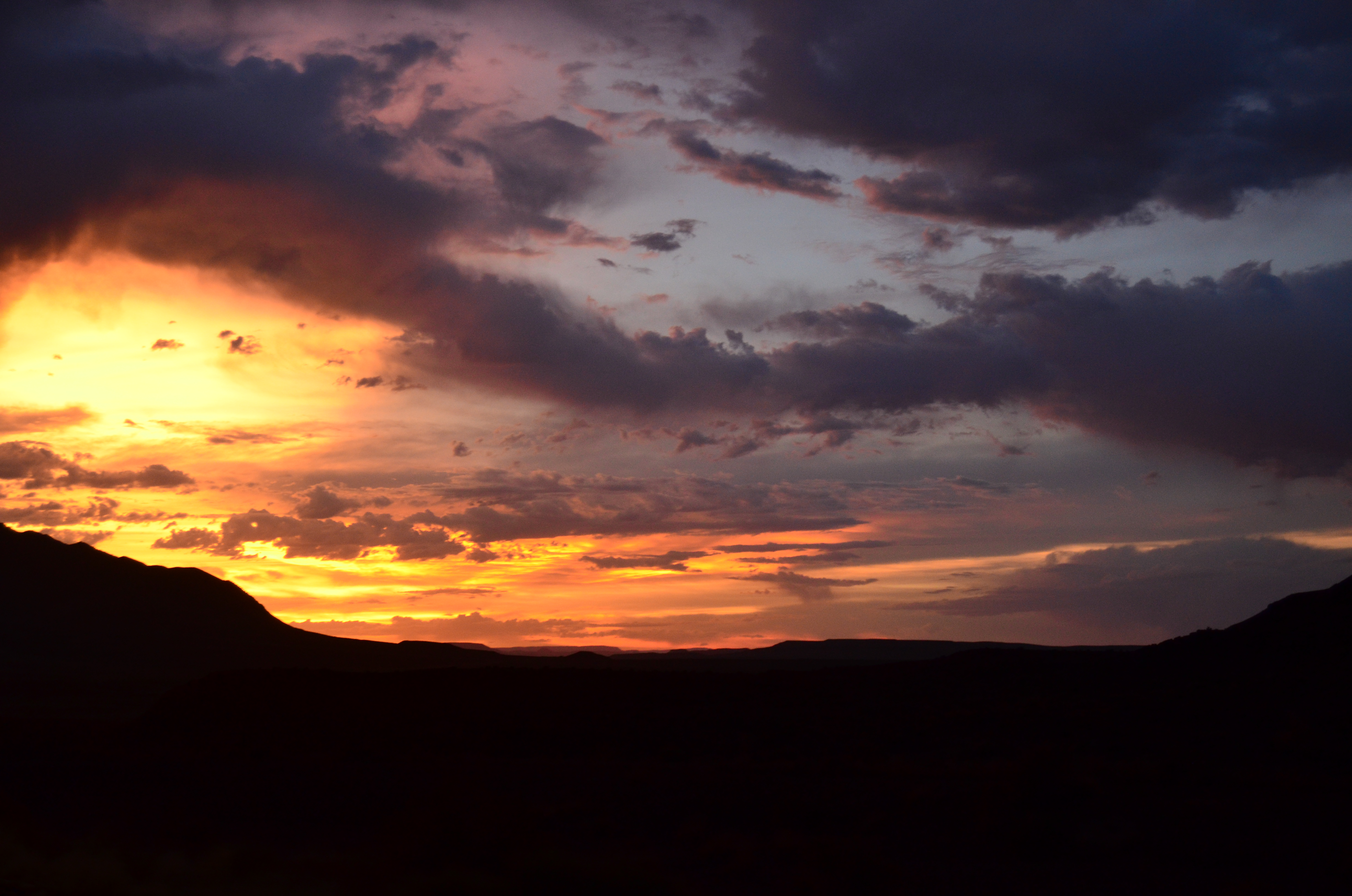
Sunset in Arizona
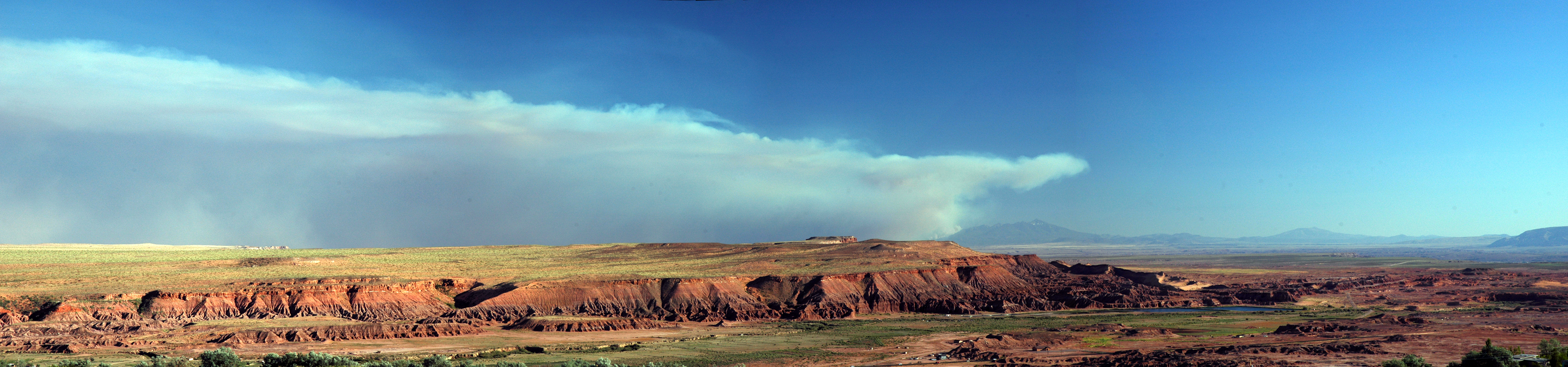
Schultz Fire 6.20.2010
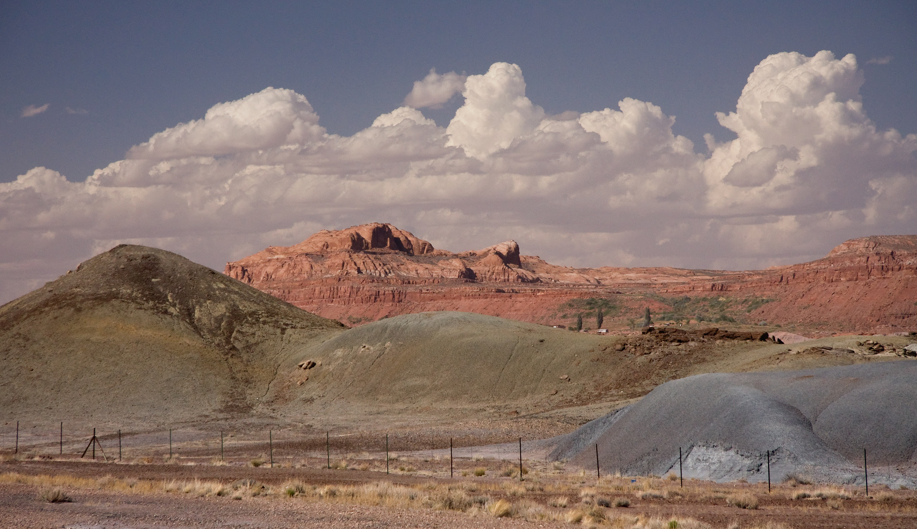
Painted Desert

IMG_1426.jpg
Painted Desert
Topographic Map of Tuba City, AZ, USA
Find elevation by address:

Places in Tuba City, AZ, USA:
Places near Tuba City, AZ, USA:
Tuba City Spur
Tuba City High School
Moenkopi Legacy Inn & Suites
Moenkopi
Cameron Trading Post Rv Park
Cameron
Cameron - Trading Post
US-89, Cameron, AZ, USA
Cameron Trading Post And Restaurant
Little Colorado River Navajo Tribal Park
Little Colorado River Gorge Overlook
US-89, Cameron, AZ, USA
Coconino County
Flagstaff
Comanche Point
Desert View Campground
Wupatki National Monument
Desert View Visitor Center
Desert View Watchtower
Desert View
Recent Searches:
- Elevation of Corso Fratelli Cairoli, 35, Macerata MC, Italy
- Elevation of Tallevast Rd, Sarasota, FL, USA
- Elevation of 4th St E, Sonoma, CA, USA
- Elevation of Black Hollow Rd, Pennsdale, PA, USA
- Elevation of Oakland Ave, Williamsport, PA, USA
- Elevation of Pedrógão Grande, Portugal
- Elevation of Klee Dr, Martinsburg, WV, USA
- Elevation of Via Roma, Pieranica CR, Italy
- Elevation of Tavkvetili Mountain, Georgia
- Elevation of Hartfords Bluff Cir, Mt Pleasant, SC, USA