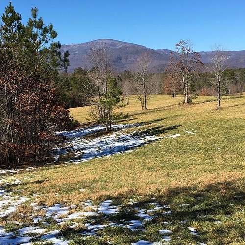
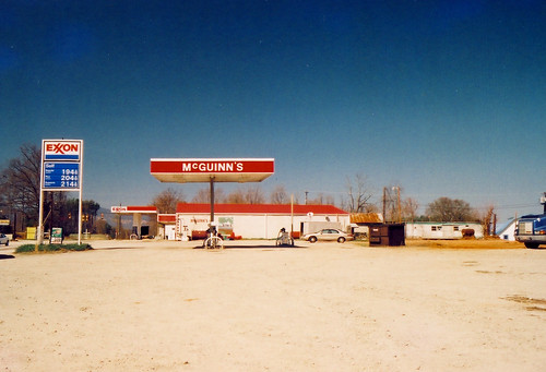
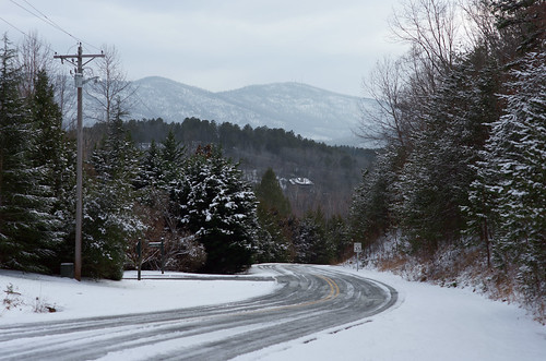
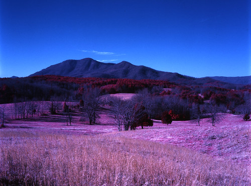
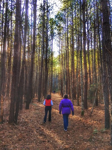
Elevation of Tryon Equestrian Center RV Park Office, Pea Ridge Rd, Mill Spring, NC, USA
Location: United States > North Carolina > Polk County > White Oak > Mill Spring >
Longitude: -82.070916
Latitude: 35.2850874
Elevation: 278m / 912feet
Barometric Pressure: 98KPa
Related Photos:
Topographic Map of Tryon Equestrian Center RV Park Office, Pea Ridge Rd, Mill Spring, NC, USA
Find elevation by address:

Places near Tryon Equestrian Center RV Park Office, Pea Ridge Rd, Mill Spring, NC, USA:
4066 Pea Ridge Rd
Tryon Resort
Ambrose Drive
1944 River Crest Pkwy
1598 River Crest Pkwy
Catawba Drive
226 Zachary Ln
295 Indian Creek Ln
304 Misery Ridge
1051 River Crest Pkwy
99 Bridge Ln
42 Forest Ridge Ln
Sandy Plains Rd, Tryon, NC, USA
380 Front Ridge Cir
Tryon Riding & Hunt Club
395 Brookstone Rd
6425 Coxe Rd
1181 Mcentire Rd
A R Thompson Road
White Oak Mountain Road
Recent Searches:
- Elevation of Corso Fratelli Cairoli, 35, Macerata MC, Italy
- Elevation of Tallevast Rd, Sarasota, FL, USA
- Elevation of 4th St E, Sonoma, CA, USA
- Elevation of Black Hollow Rd, Pennsdale, PA, USA
- Elevation of Oakland Ave, Williamsport, PA, USA
- Elevation of Pedrógão Grande, Portugal
- Elevation of Klee Dr, Martinsburg, WV, USA
- Elevation of Via Roma, Pieranica CR, Italy
- Elevation of Tavkvetili Mountain, Georgia
- Elevation of Hartfords Bluff Cir, Mt Pleasant, SC, USA


