Elevation of 99 Bridge Ln, Tryon, NC, USA
Location: United States > North Carolina > Polk County > Green Creek > Green Creek >
Longitude: -82.039441
Latitude: 35.2694884
Elevation: 236m / 774feet
Barometric Pressure: 99KPa
Elevation Map:
Satellite Map:
Related Photos:

Running Mac

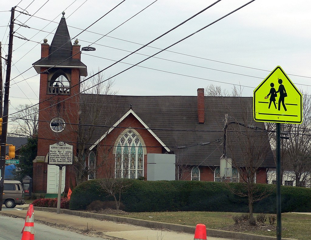
red brick building0001

View from the Courthouse

Out Back

P1050577.JPG

P1050576.JPG
P1050575.JPG

Shunkawauken Falls
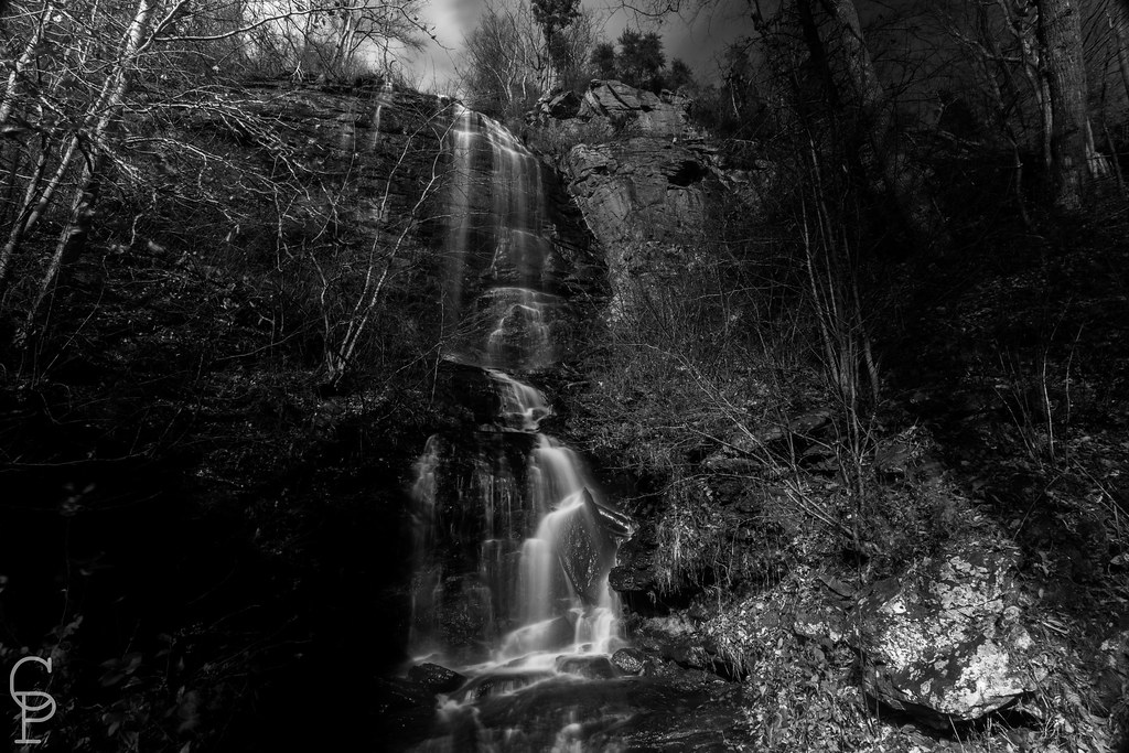
Shunkawauken Falls

Shunkawauken Falls

120428-1555 Turner Shoals

A Sunless Country

Landrum Sunrise 2

Landrum Sunrise

Rutherfordton House

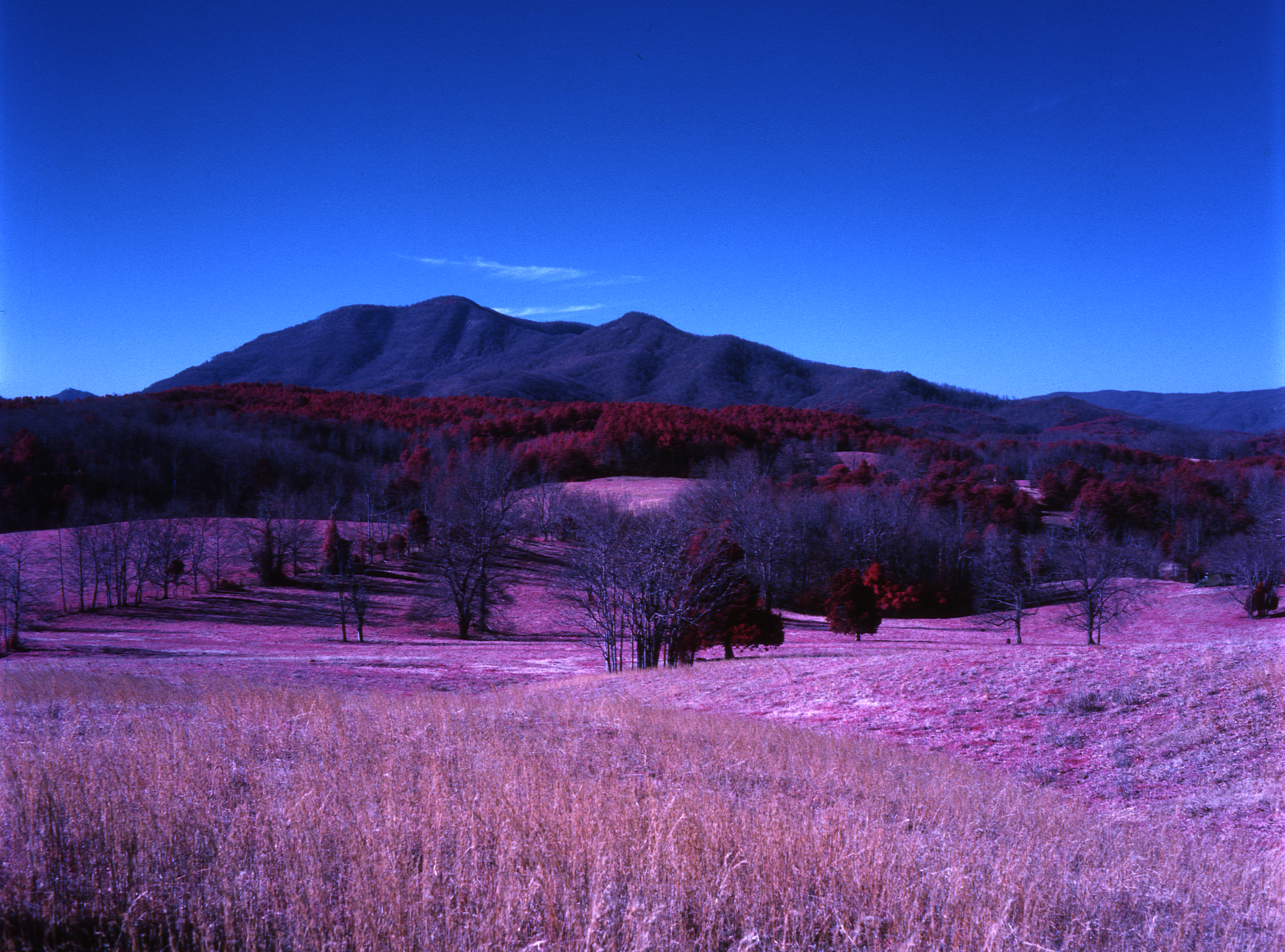
The Wild, Magenta Yonder

McGuinn's

Buffalo in NC
In Rose Pastures
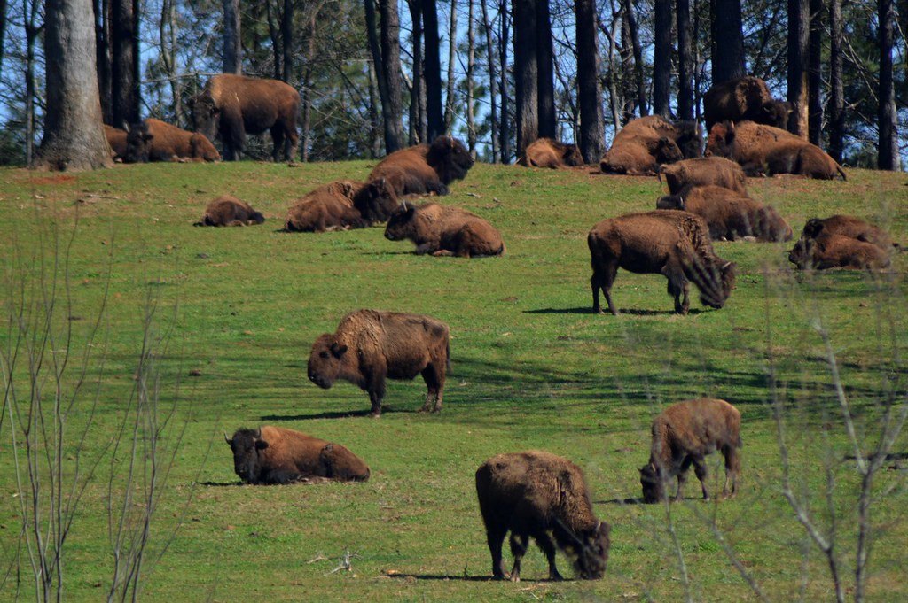
Buffalo Herd

Open Road North

Hunting Country Road

Kudzu Monuments

Hunting Country Road

December in the Foothills
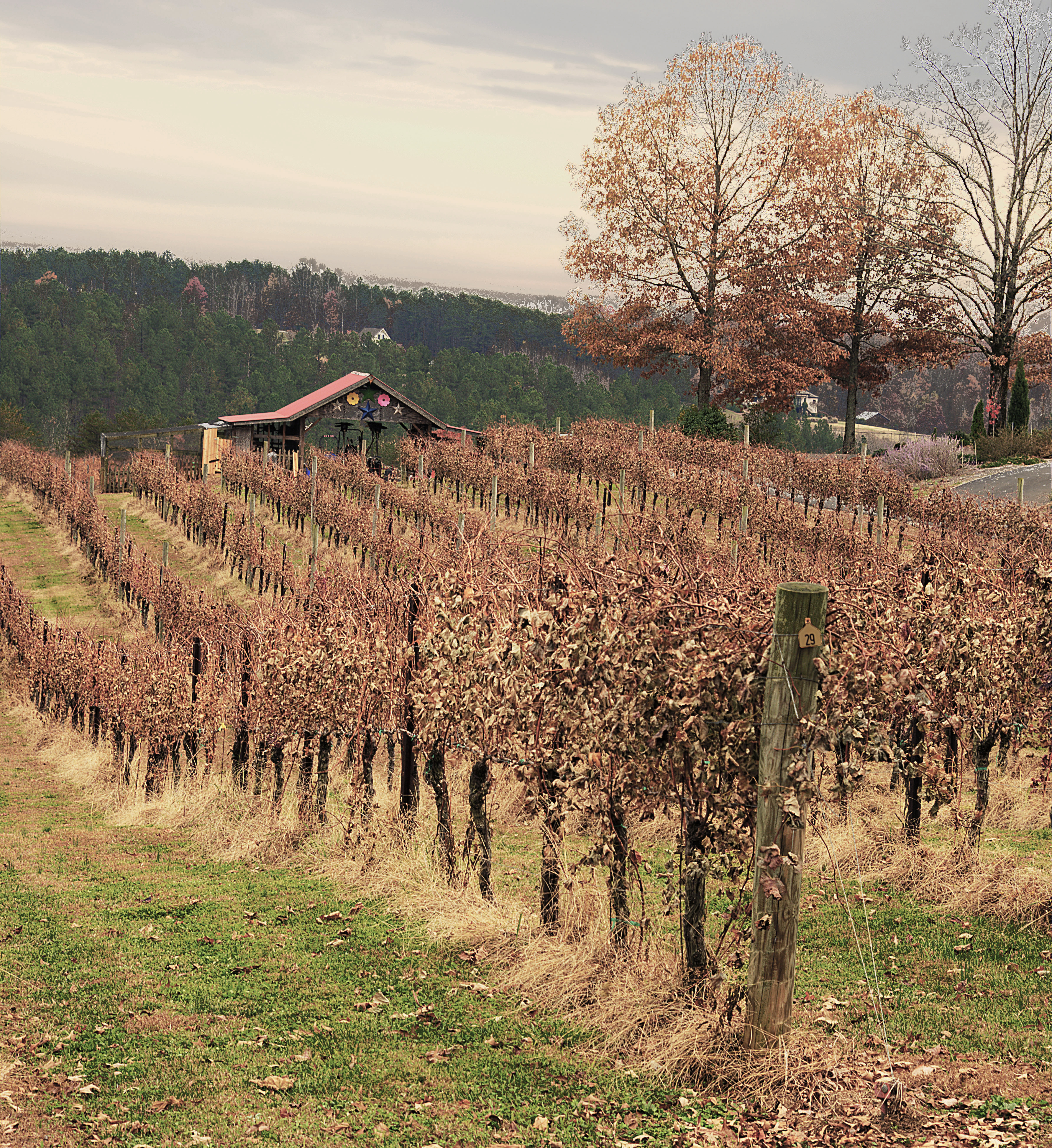
Overmountain Vineyard

December in the Foothills B&W

foothillsshot-1
Topographic Map of 99 Bridge Ln, Tryon, NC, USA
Find elevation by address:

Places near 99 Bridge Ln, Tryon, NC, USA:
42 Forest Ridge Ln
Catawba Drive
Sandy Plains Rd, Tryon, NC, USA
Ambrose Drive
1051 River Crest Pkwy
226 Zachary Ln
1598 River Crest Pkwy
1944 River Crest Pkwy
6425 Coxe Rd
1181 Mcentire Rd
380 Front Ridge Cir
4066 Pea Ridge Rd
Tryon Resort
420 Artesian Ln
Tryon Equestrian Center Rv Park Office
Green Creek
Russian Chapel Hills Winery
Green Creek
Tryon Riding & Hunt Club
River Ridge Parkway
Recent Searches:
- Elevation of Corso Fratelli Cairoli, 35, Macerata MC, Italy
- Elevation of Tallevast Rd, Sarasota, FL, USA
- Elevation of 4th St E, Sonoma, CA, USA
- Elevation of Black Hollow Rd, Pennsdale, PA, USA
- Elevation of Oakland Ave, Williamsport, PA, USA
- Elevation of Pedrógão Grande, Portugal
- Elevation of Klee Dr, Martinsburg, WV, USA
- Elevation of Via Roma, Pieranica CR, Italy
- Elevation of Tavkvetili Mountain, Georgia
- Elevation of Hartfords Bluff Cir, Mt Pleasant, SC, USA