Elevation of Trisul, Chamoli, Uttarakhand
Location: India > Uttarakhand > Chamoli > Chamoli >
Longitude: 79.7766666
Latitude: 30.3116666
Elevation: 7100m / 23294feet
Barometric Pressure: 40KPa
Elevation Map:
Satellite Map:
Related Photos:
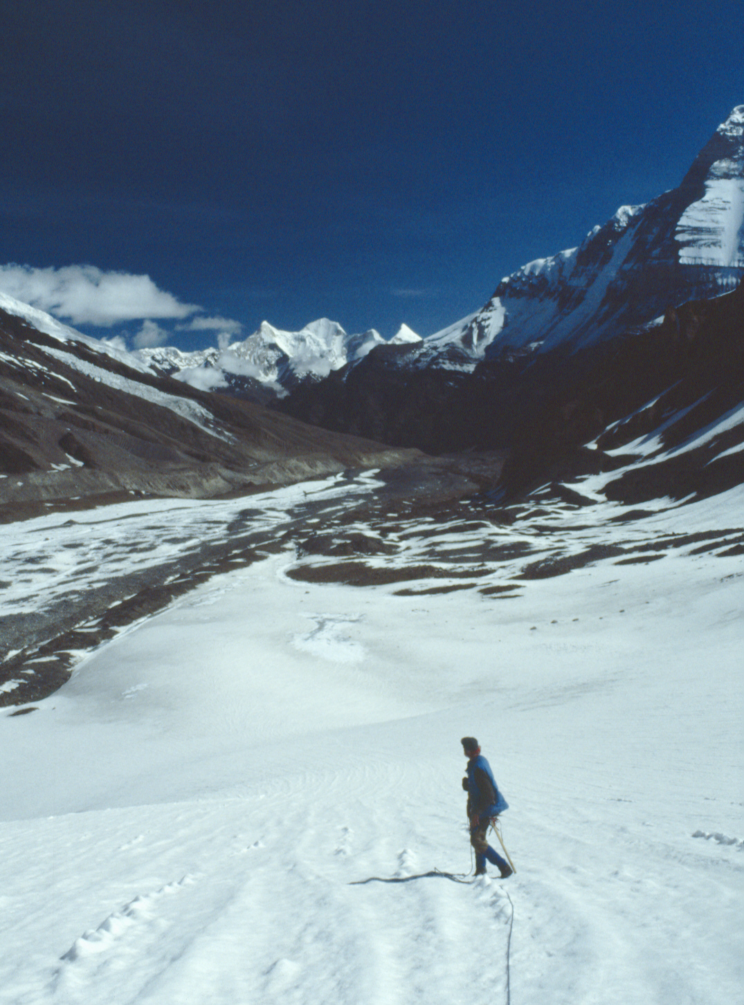
Nanda Devi Inner Sanctuary from Below Sunderdhunga Khal
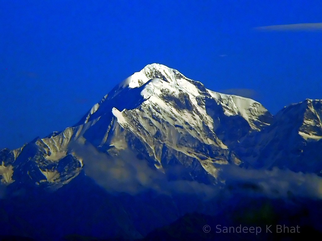
Trident of Shiva

View from peak above Bedni Bugyal
Topographic Map of Trisul, Chamoli, Uttarakhand
Find elevation by address:

Places near Trisul, Chamoli, Uttarakhand:
Roopkund Lake
Roop Kund
Patar Nachauni
Bedni Bugyal
Chamoli
Wan
Nanda Devi
Suki
Chamoli
Dunagiri
Pindari Glacier
Brahmatal
Tapovan
Lohajung
Mundoli
Kalanka
Dronagiri
Gorson Bugyal
Nanda Kot
Auli Laga Salude
Recent Searches:
- Elevation of Corso Fratelli Cairoli, 35, Macerata MC, Italy
- Elevation of Tallevast Rd, Sarasota, FL, USA
- Elevation of 4th St E, Sonoma, CA, USA
- Elevation of Black Hollow Rd, Pennsdale, PA, USA
- Elevation of Oakland Ave, Williamsport, PA, USA
- Elevation of Pedrógão Grande, Portugal
- Elevation of Klee Dr, Martinsburg, WV, USA
- Elevation of Via Roma, Pieranica CR, Italy
- Elevation of Tavkvetili Mountain, Georgia
- Elevation of Hartfords Bluff Cir, Mt Pleasant, SC, USA