Elevation of Nanda Devi, Chamoli, Uttarakhand
Location: India > Uttarakhand > Chamoli > Chamoli >
Longitude: 79.9708703
Latitude: 30.3758618
Elevation: 6341m / 20804feet
Barometric Pressure: 45KPa
Elevation Map:
Satellite Map:
Related Photos:
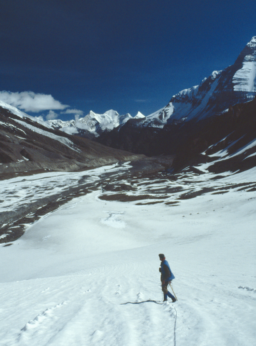
Nanda Devi Inner Sanctuary from Below Sunderdhunga Khal
Topographic Map of Nanda Devi, Chamoli, Uttarakhand
Find elevation by address:

Places near Nanda Devi, Chamoli, Uttarakhand:
Pindari Glacier
Chamoli
Kalanka
Nanda Kot
Nanda Devi
Dunagiri
Trisul
Dronagiri
Roopkund Lake
Roop Kund
Suki
Supi
Patar Nachauni
Malari
Bedni Bugyal
Tapovan
Sama
Liti
Bageshwar
Wan
Recent Searches:
- Elevation of Corso Fratelli Cairoli, 35, Macerata MC, Italy
- Elevation of Tallevast Rd, Sarasota, FL, USA
- Elevation of 4th St E, Sonoma, CA, USA
- Elevation of Black Hollow Rd, Pennsdale, PA, USA
- Elevation of Oakland Ave, Williamsport, PA, USA
- Elevation of Pedrógão Grande, Portugal
- Elevation of Klee Dr, Martinsburg, WV, USA
- Elevation of Via Roma, Pieranica CR, Italy
- Elevation of Tavkvetili Mountain, Georgia
- Elevation of Hartfords Bluff Cir, Mt Pleasant, SC, USA