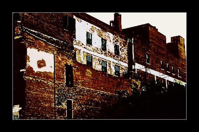
Elevation of Triangle Serum Co, W Main St, Pawhuska, OK, USA
Location: United States > Oklahoma > Osage County > Pawhuska >
Longitude: -96.353087
Latitude: 36.6652028
Elevation: 250m / 820feet
Barometric Pressure: 98KPa
Elevation Map:
Satellite Map:
Related Photos:
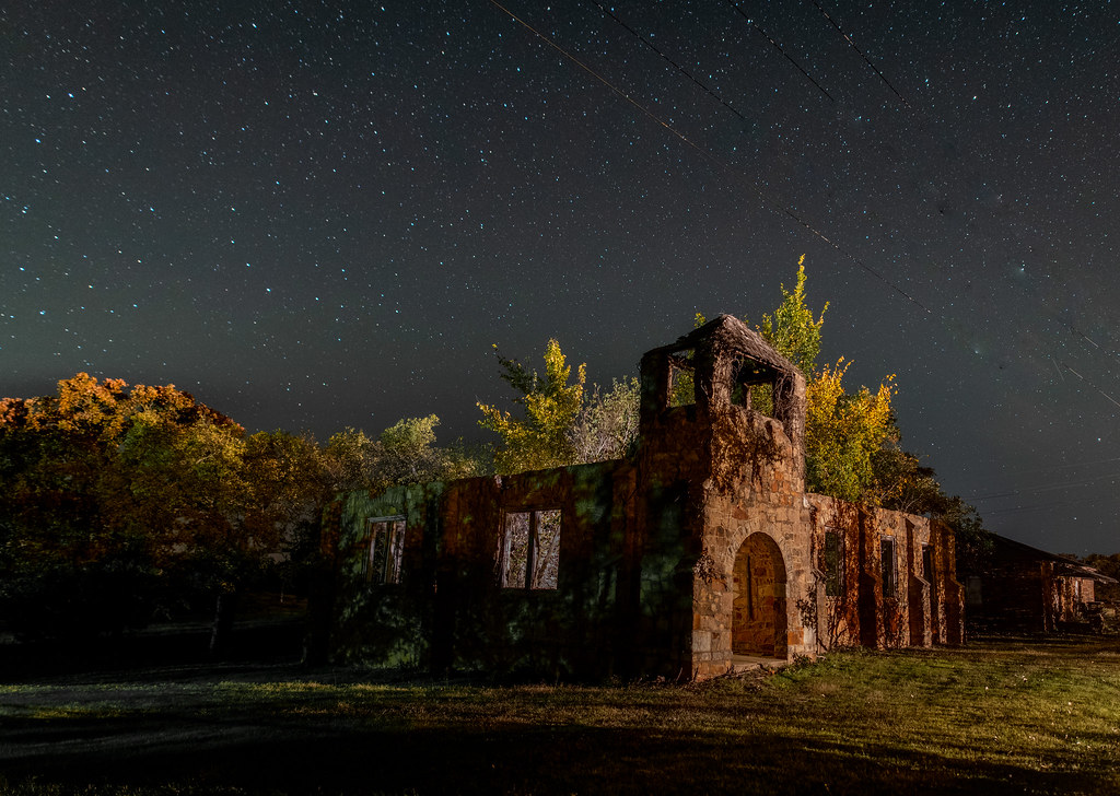
Different view of the abandoned Baptist Church in Pershing

Stained Glass Robbery Alarm
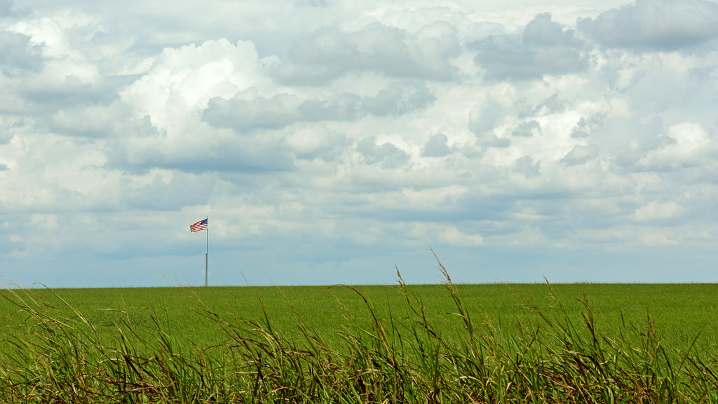
Flag On The Oklahoma Prairie
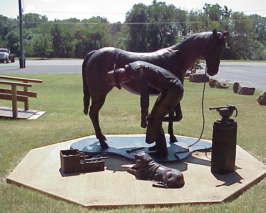
Pawhuska, Farrier Sculpture, Front View
Pawhuska, Farrier Sculpture, Left View
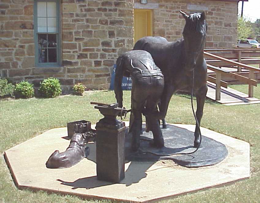
Pawhuska, Farrier Sculpture, Right View
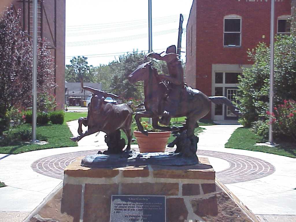
Pawhuska, Okie Cowboy Sculture, Front View
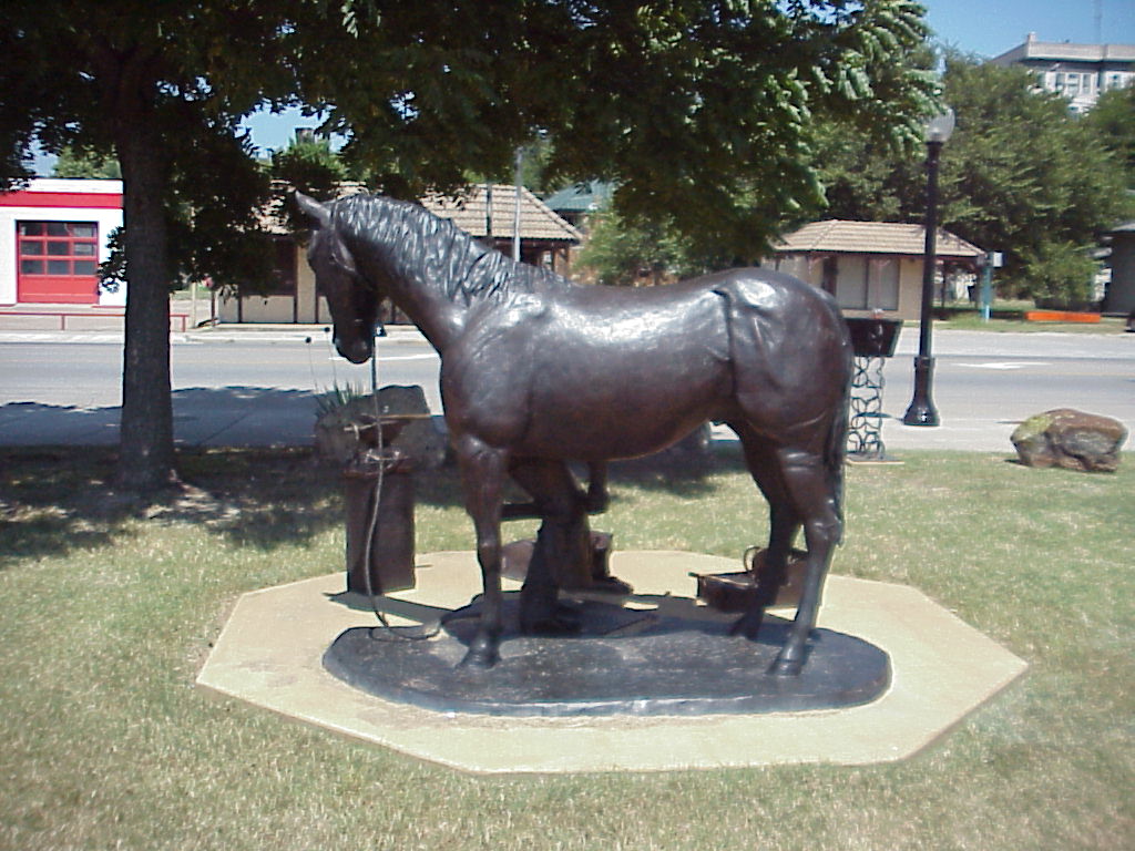
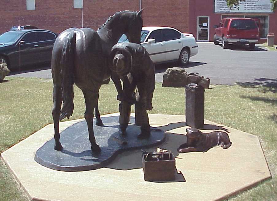
Pawhuska, Farrier Sculpture, Rear View
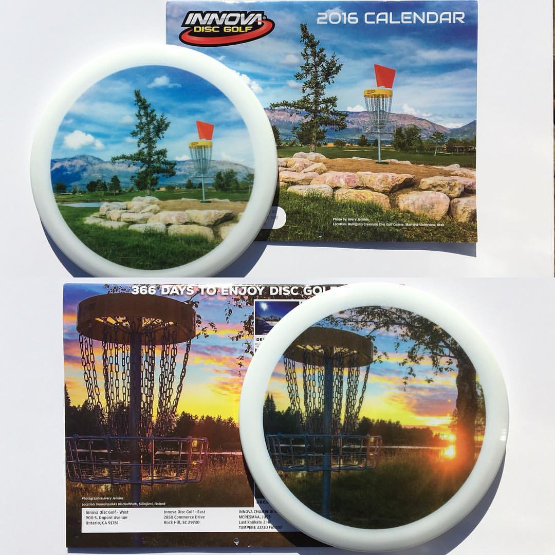
An honor to be selected for the cover photo of the 2016 Innova Disc Golf Calendar with a gorgeous view of Hole #18 at the Mulligan's Creekside Disc Golf Course in Mariott-Slaterville, UT! I also got the back cover as well with a spectacular sunset at the
Duncan Hotel, Pawhuska- side view

The Photo I Was Almost (Possibly) Accosted Over
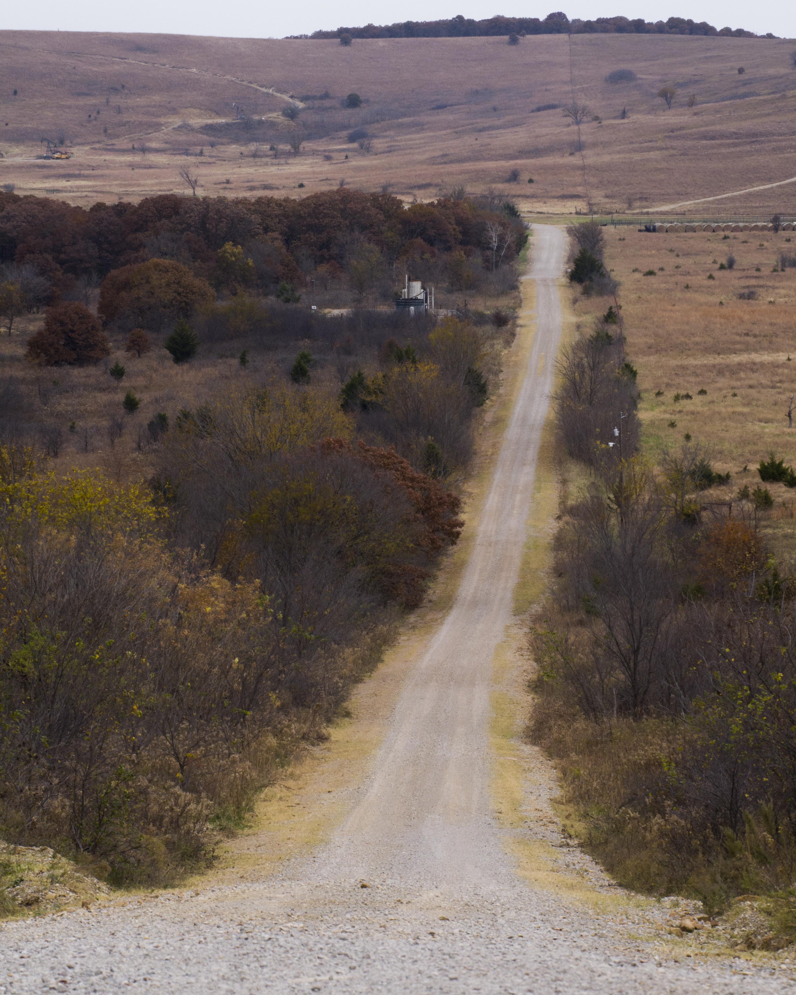
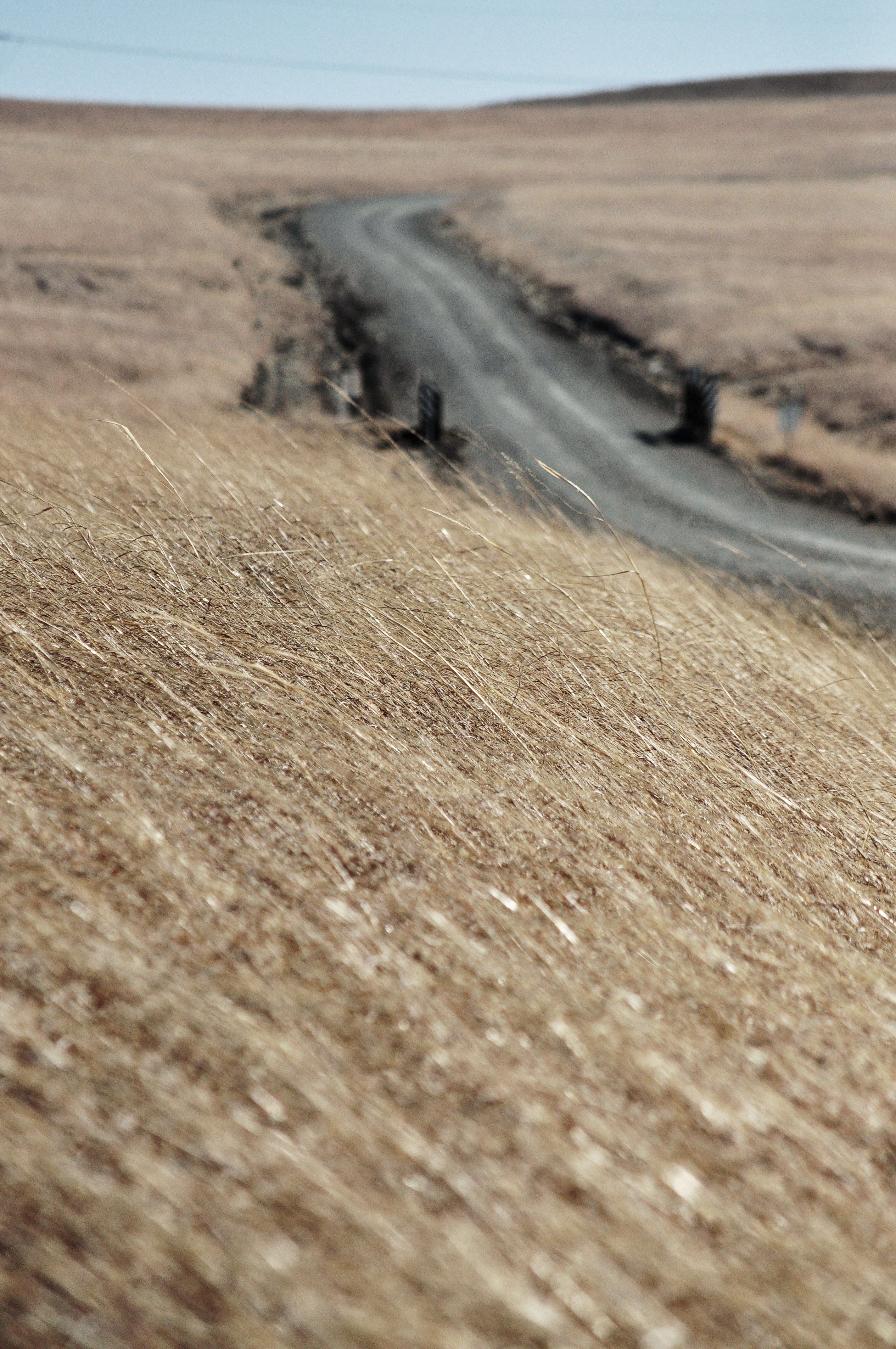
Road to the swinging bridge

Pioneer Woman Hotel and Restuarant
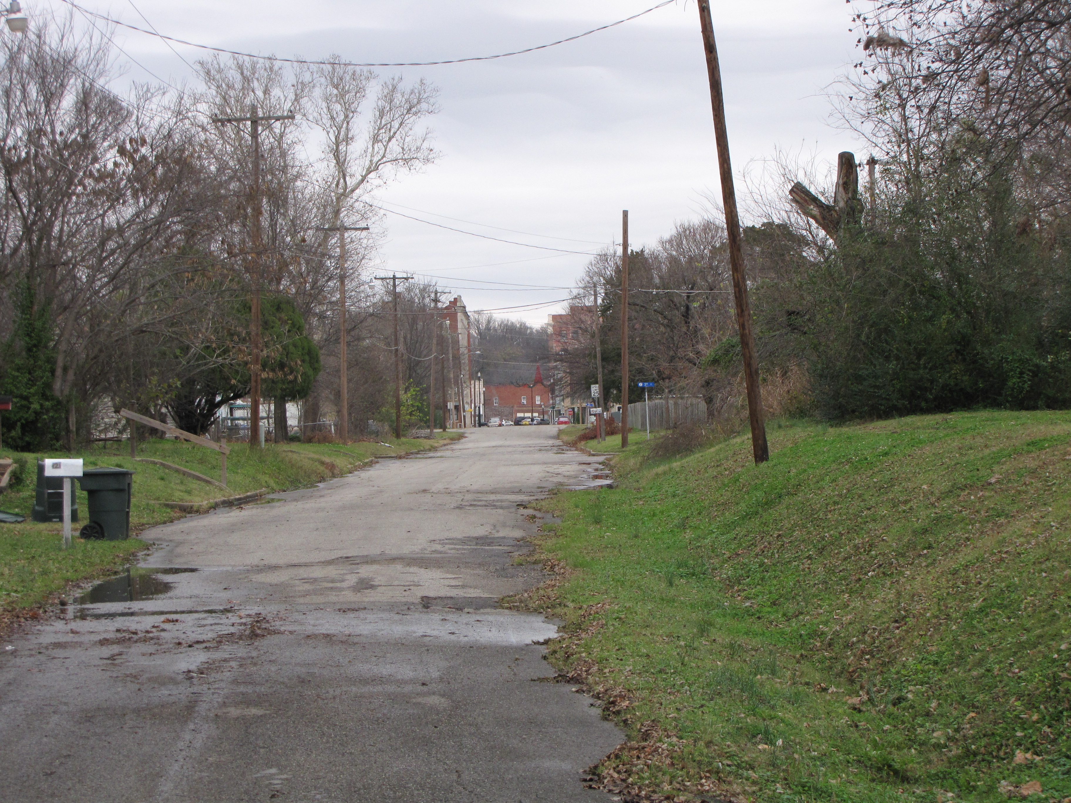
The Road To Chief Lookout's Grave

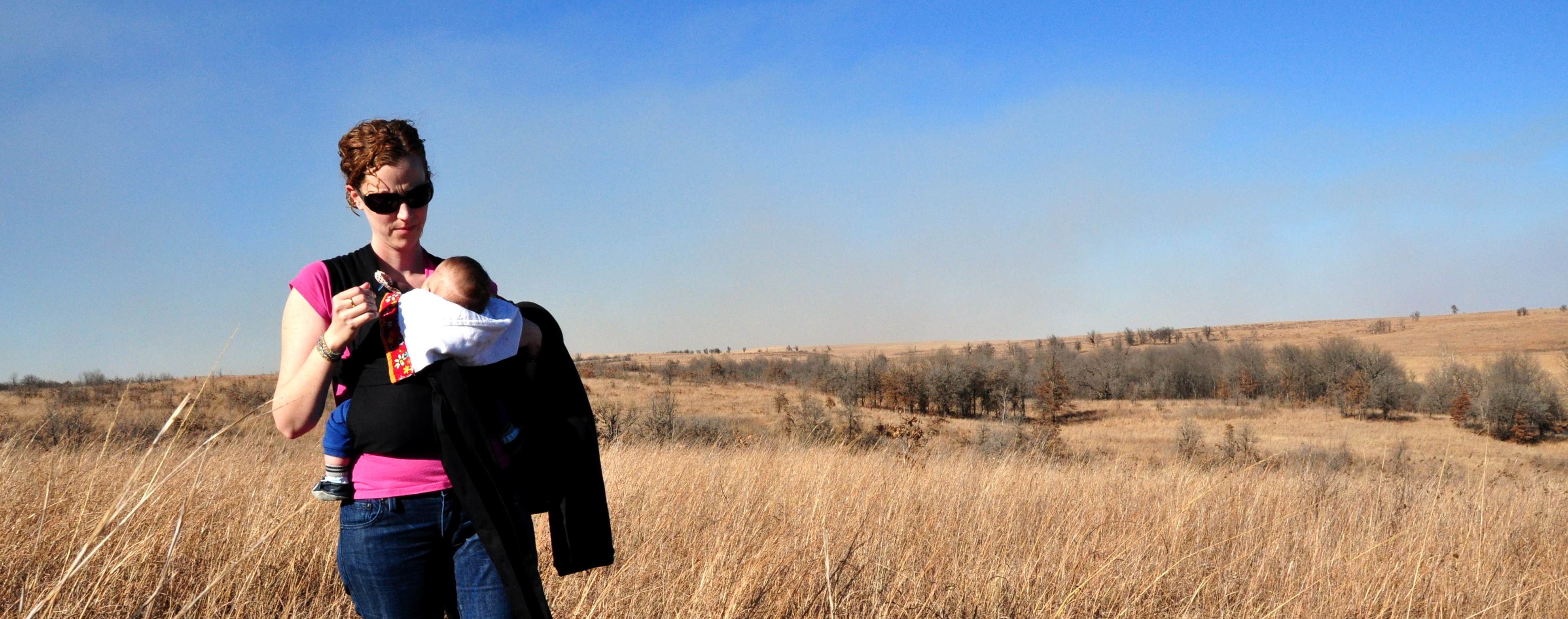
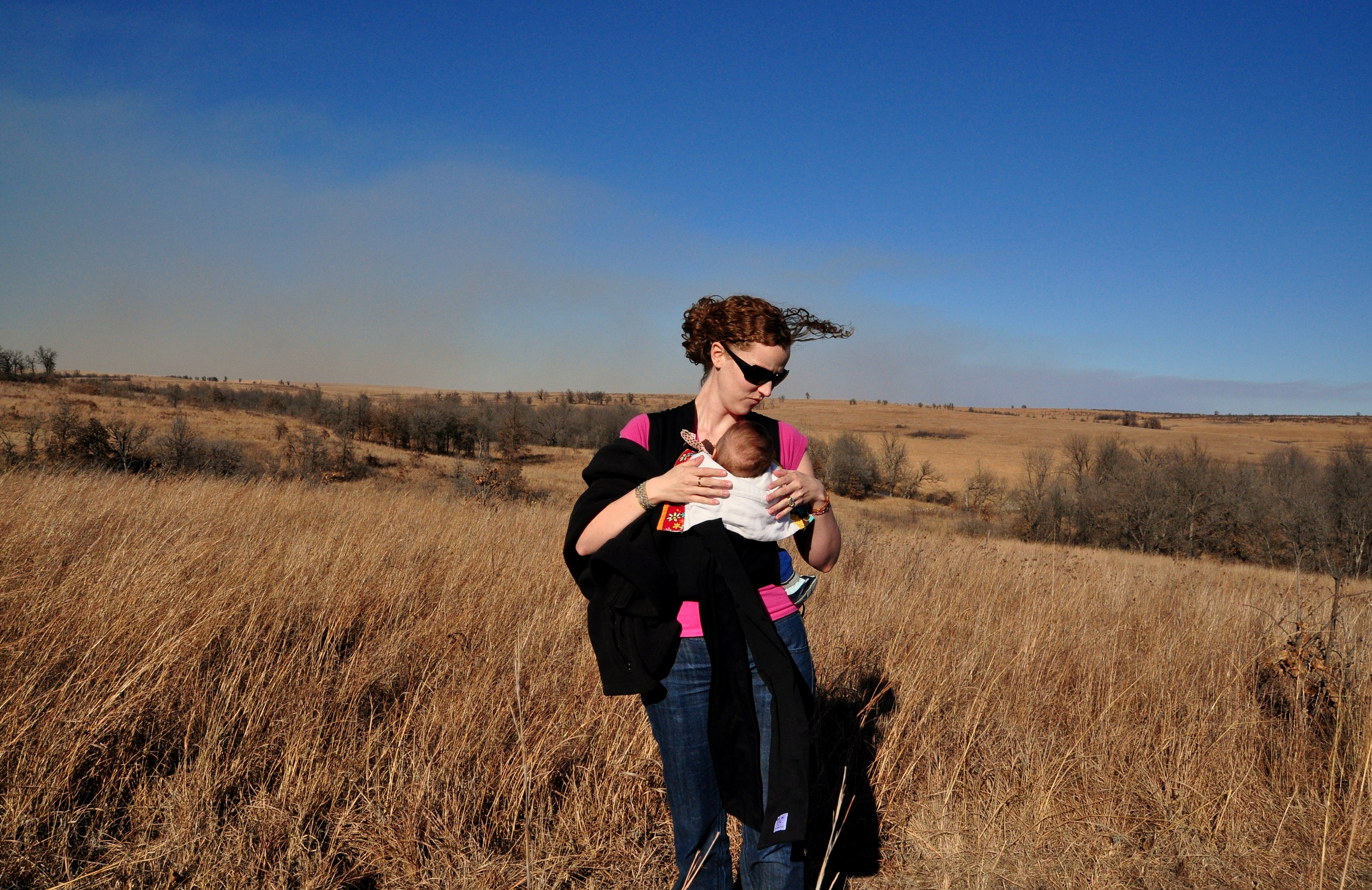
April, Osage County

A Difference of Opinion
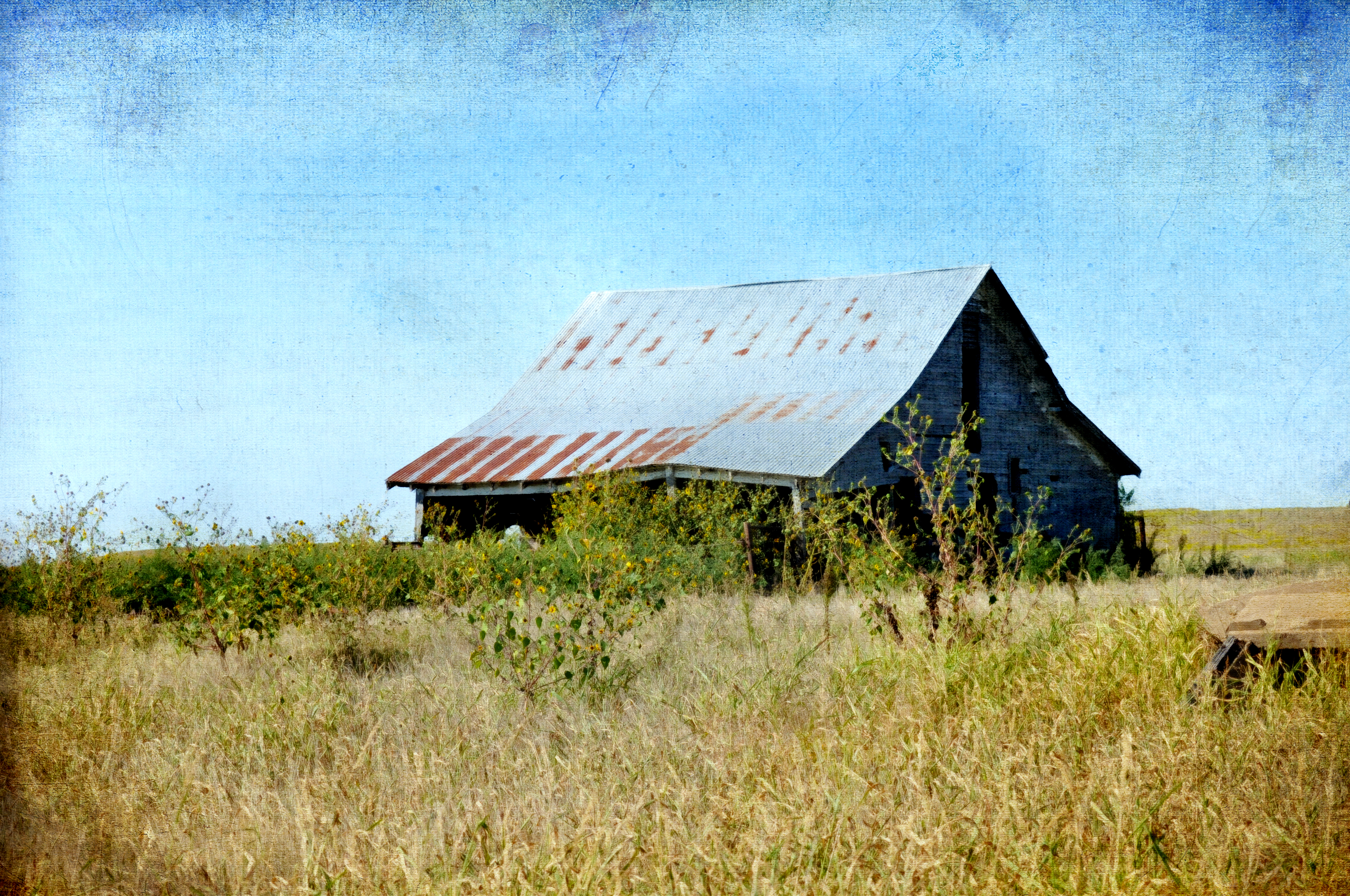
Forgotten (but not gone)
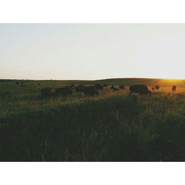
The herd #pawhuska #tallgrassprariereserve #nature #nexus5 #bestofvsco #vscocam #buffalo #wildlife #myoklahoma

A Beautiful Day After Christmas Sunset!! #Oklahoma #Sunset #Colors
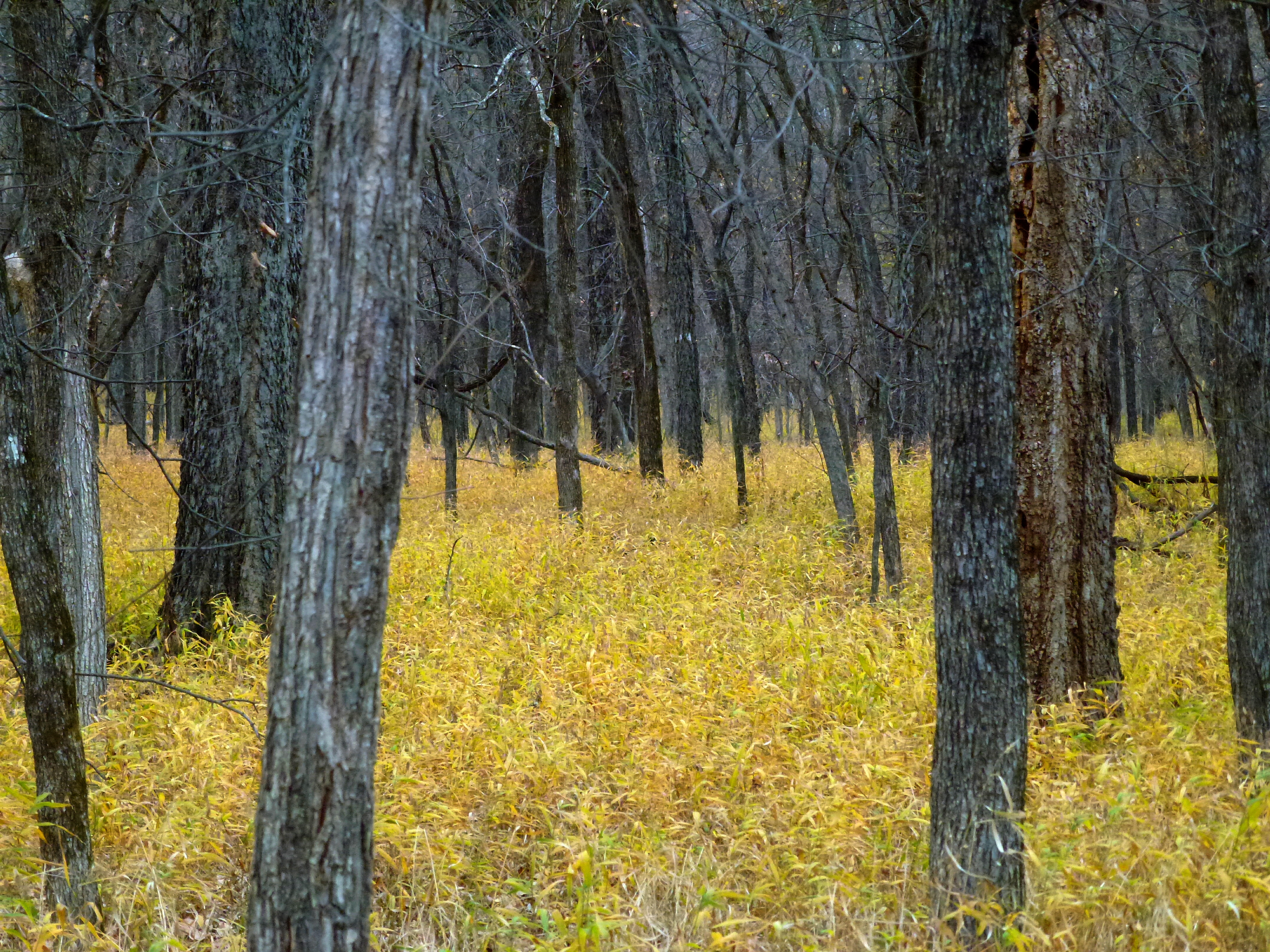
Yellow Forest
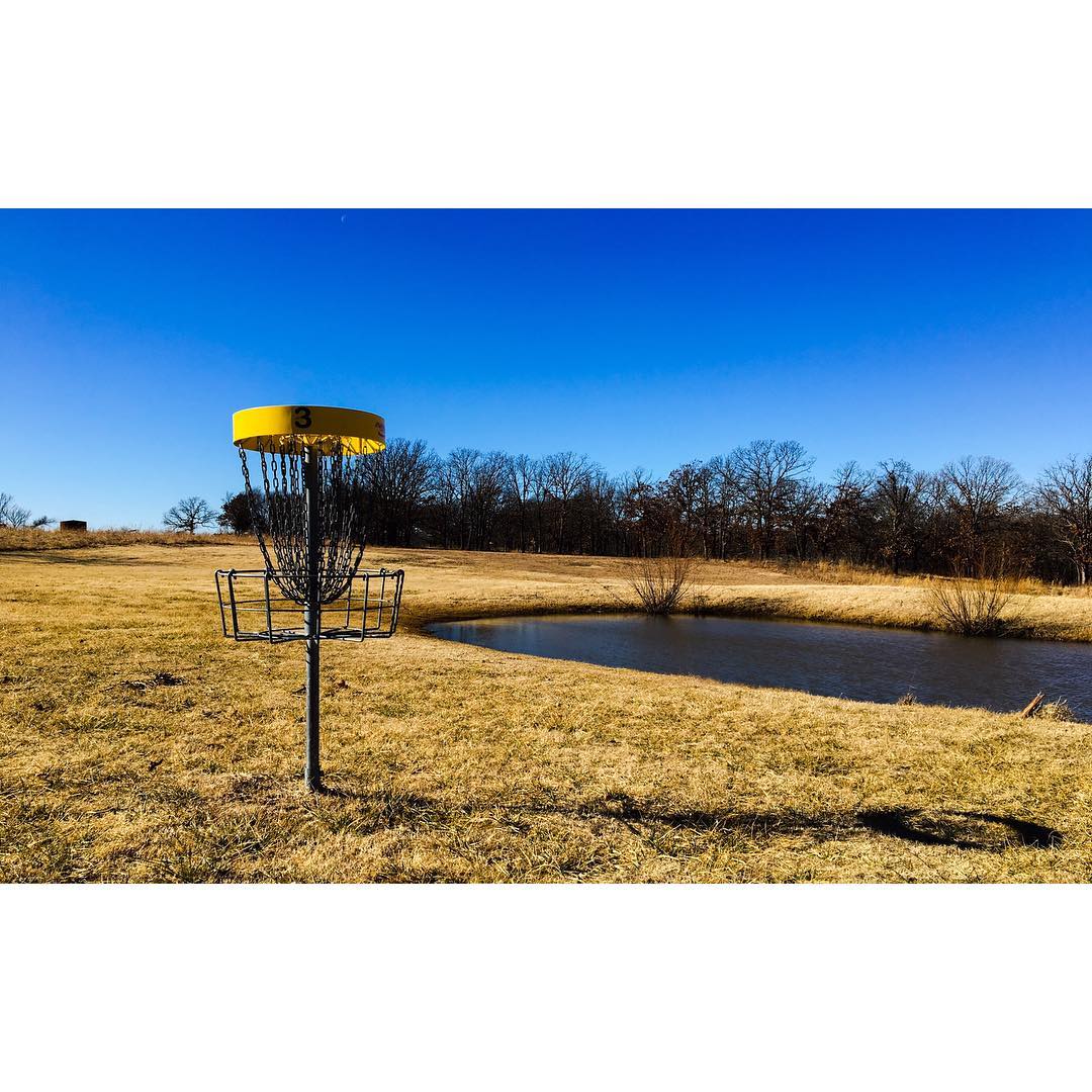
Here's the green of hole #3 looking back down the fairway on the beautiful Moccasin Creek Disc Golf Course in Pawhuska, OK! It's the Number Two rated course in Oklahoma according to DG Course Review (@dgcoursereview) which is located on the same property
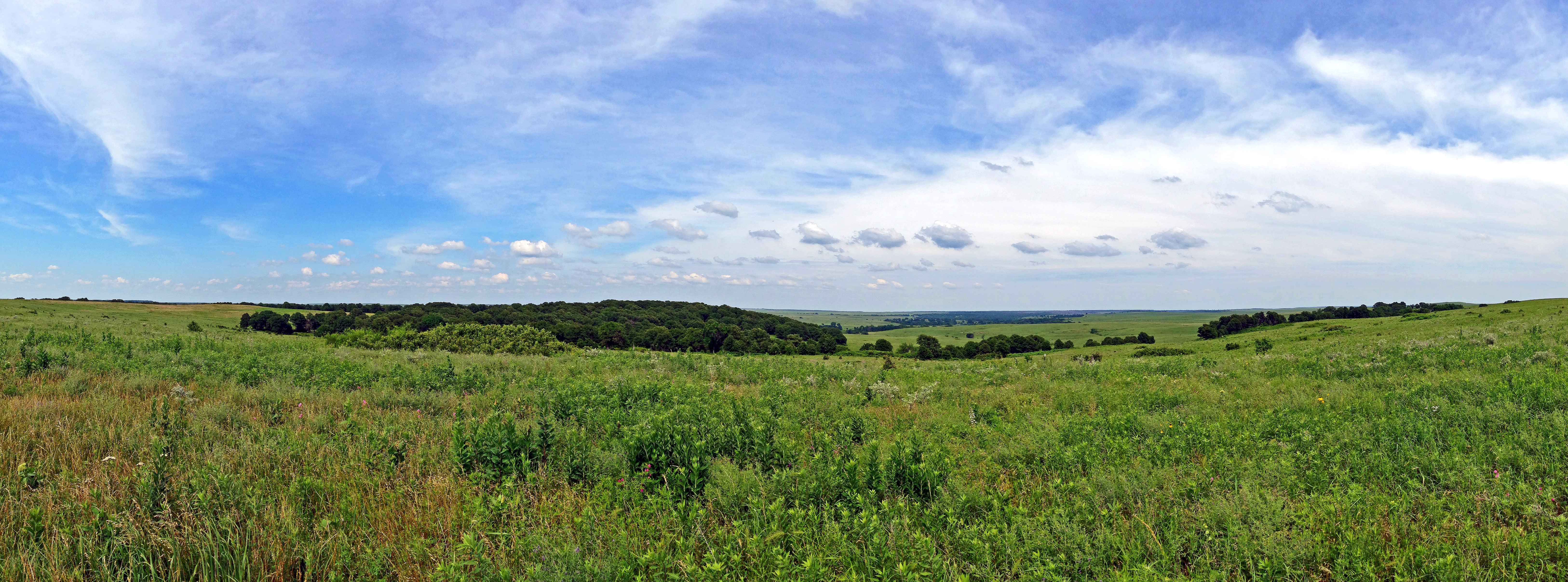
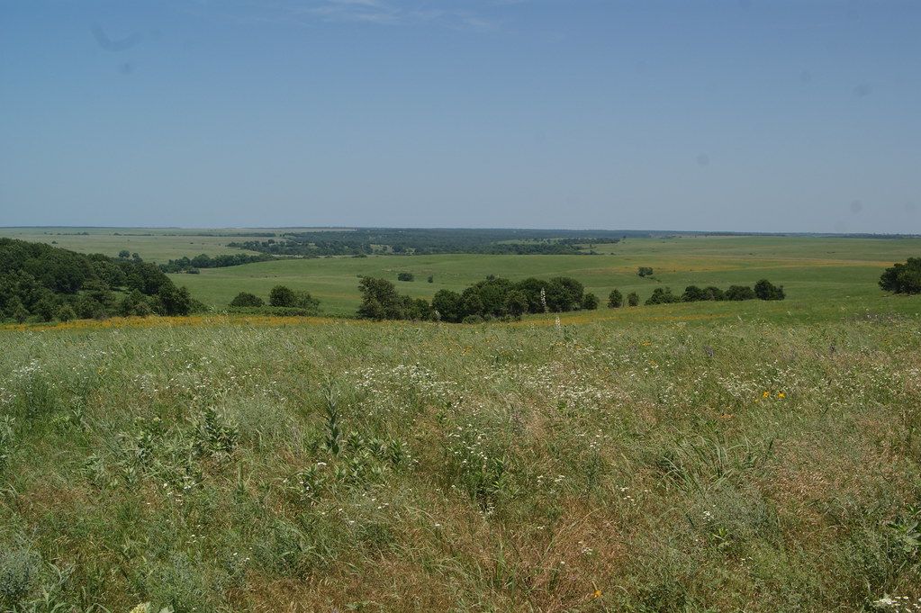
Tallgrass Prairie Panorama
Tallgrass Prairie Preserve
Tallgrass Prairie Preserve

The closest bison encounter
Tallgrass Prairie Preserve
Tallgrass Prairie Preserve
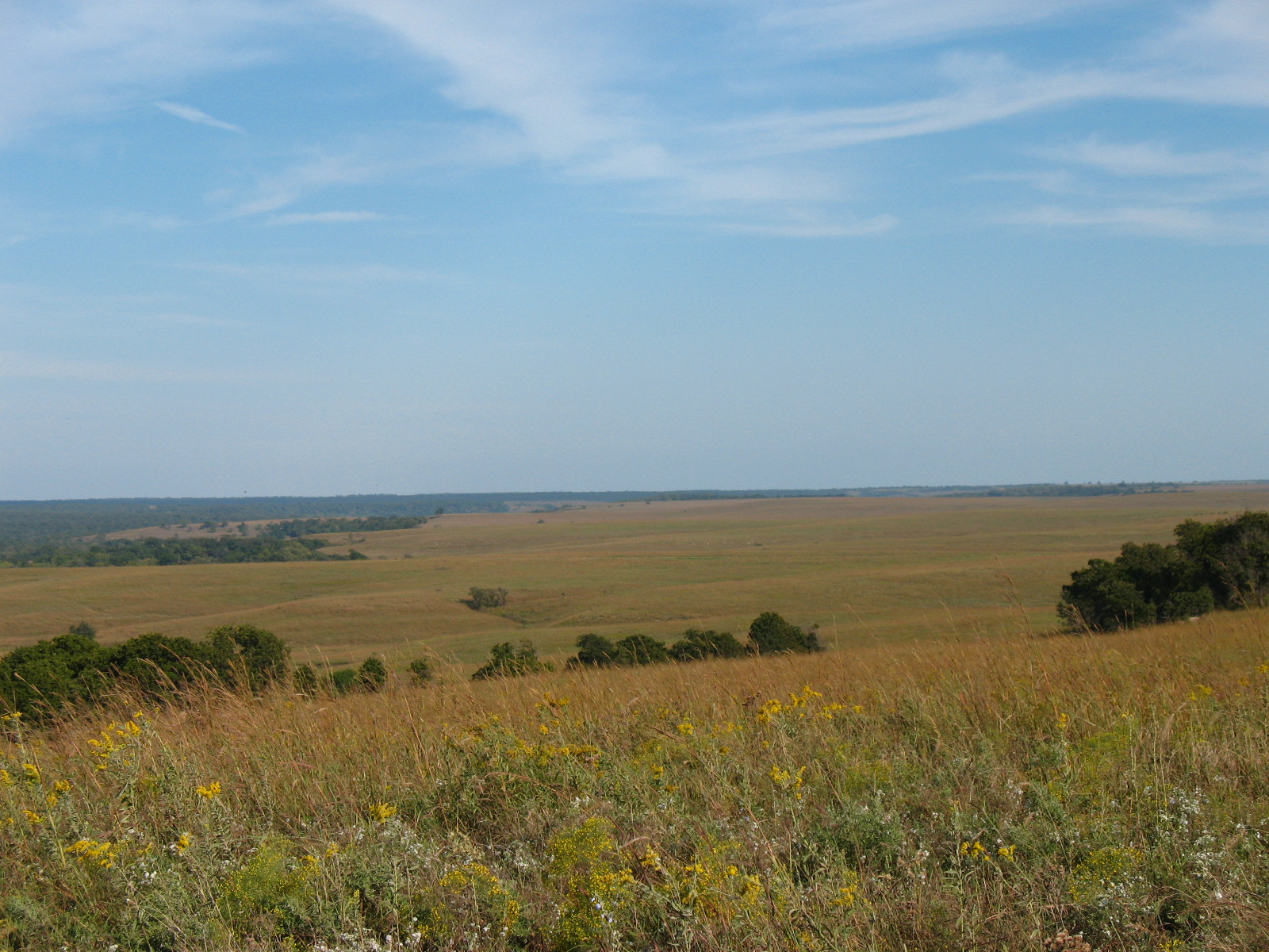
Looking East down to Sand Creek
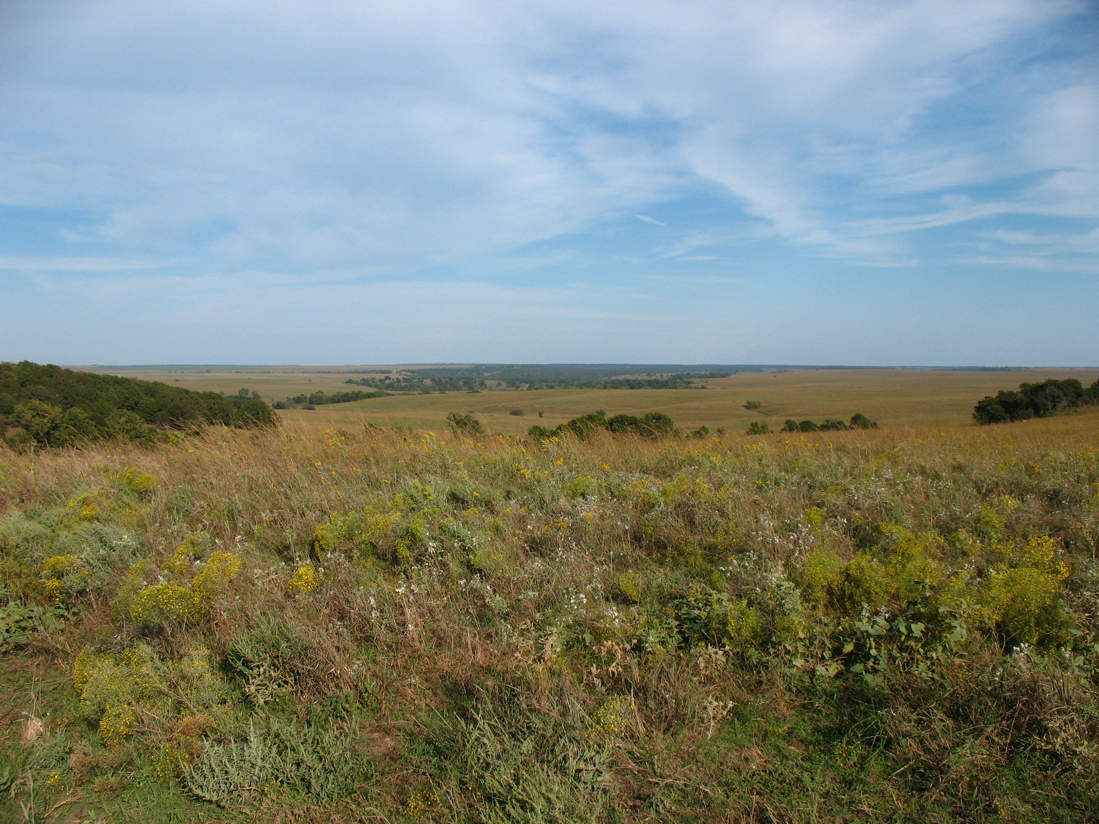
Looking East down to Sand Creek
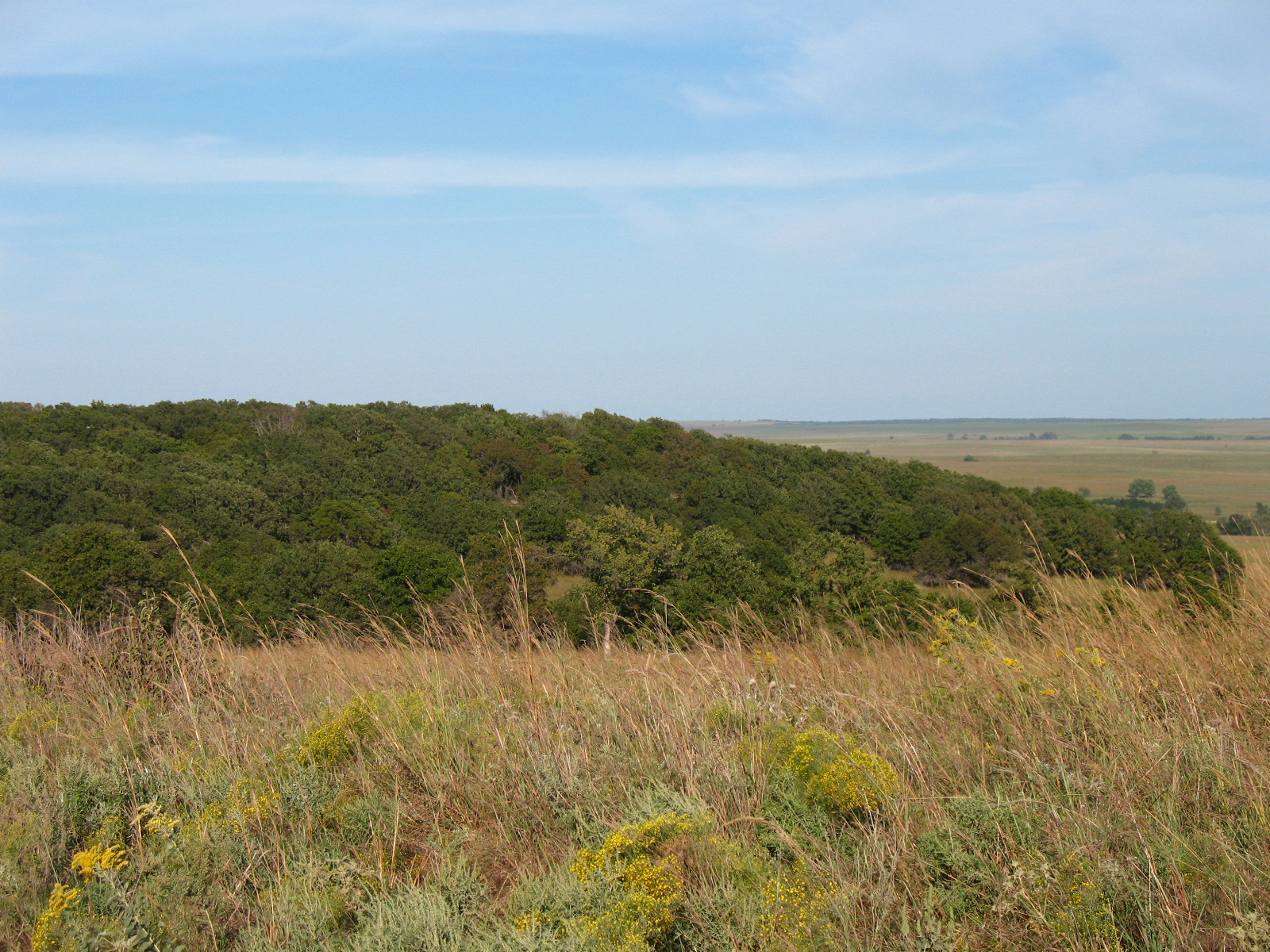
Looking East
Looking East down to Sand Creek
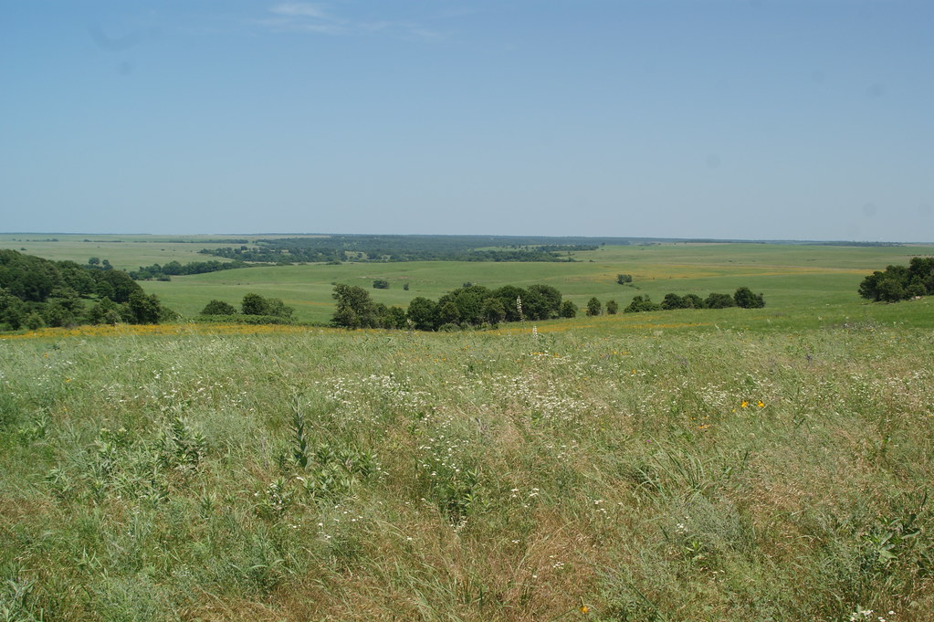
Looking East down to Sand Creek
Topographic Map of Triangle Serum Co, W Main St, Pawhuska, OK, USA
Find elevation by address:

Places near Triangle Serum Co, W Main St, Pawhuska, OK, USA:
Pawhuska
The Grandview Inn B&b
The Dave Landrum Community Center, 520 Lynn Ave., Pawhuska,oklahoma
National Oilwell Varco
Settle Inn Rv Park
Osage County
Sunset Lake
Woolaroc Museum & Wildlife Preserve
Artillery Mountain
Whippoorwill
Osage Landfill
2424 Mountain Cir
Western Union
1809 S Hickory Ave
Hickory Hill Rd, Pawhuska, OK, USA
W Dr, Ochelata, OK, USA
Train Tracks Washington County Okla
Ochelata
Swat Team
Bartlesville
Recent Searches:
- Elevation of Corso Fratelli Cairoli, 35, Macerata MC, Italy
- Elevation of Tallevast Rd, Sarasota, FL, USA
- Elevation of 4th St E, Sonoma, CA, USA
- Elevation of Black Hollow Rd, Pennsdale, PA, USA
- Elevation of Oakland Ave, Williamsport, PA, USA
- Elevation of Pedrógão Grande, Portugal
- Elevation of Klee Dr, Martinsburg, WV, USA
- Elevation of Via Roma, Pieranica CR, Italy
- Elevation of Tavkvetili Mountain, Georgia
- Elevation of Hartfords Bluff Cir, Mt Pleasant, SC, USA