Elevation of Sunset Lake, Oklahoma, USA
Location: United States > Oklahoma > Osage County > Pawhuska >
Longitude: -96.236599
Latitude: 36.7831444
Elevation: 250m / 820feet
Barometric Pressure: 98KPa
Elevation Map:
Satellite Map:
Related Photos:

Stained Glass Robbery Alarm

Duncan Hotel, Pawhuska- side view

Bartlesville sunset

Sand Creek Falls

Cub Cabin at Camp McClintock

The Photo I Was Almost (Possibly) Accosted Over
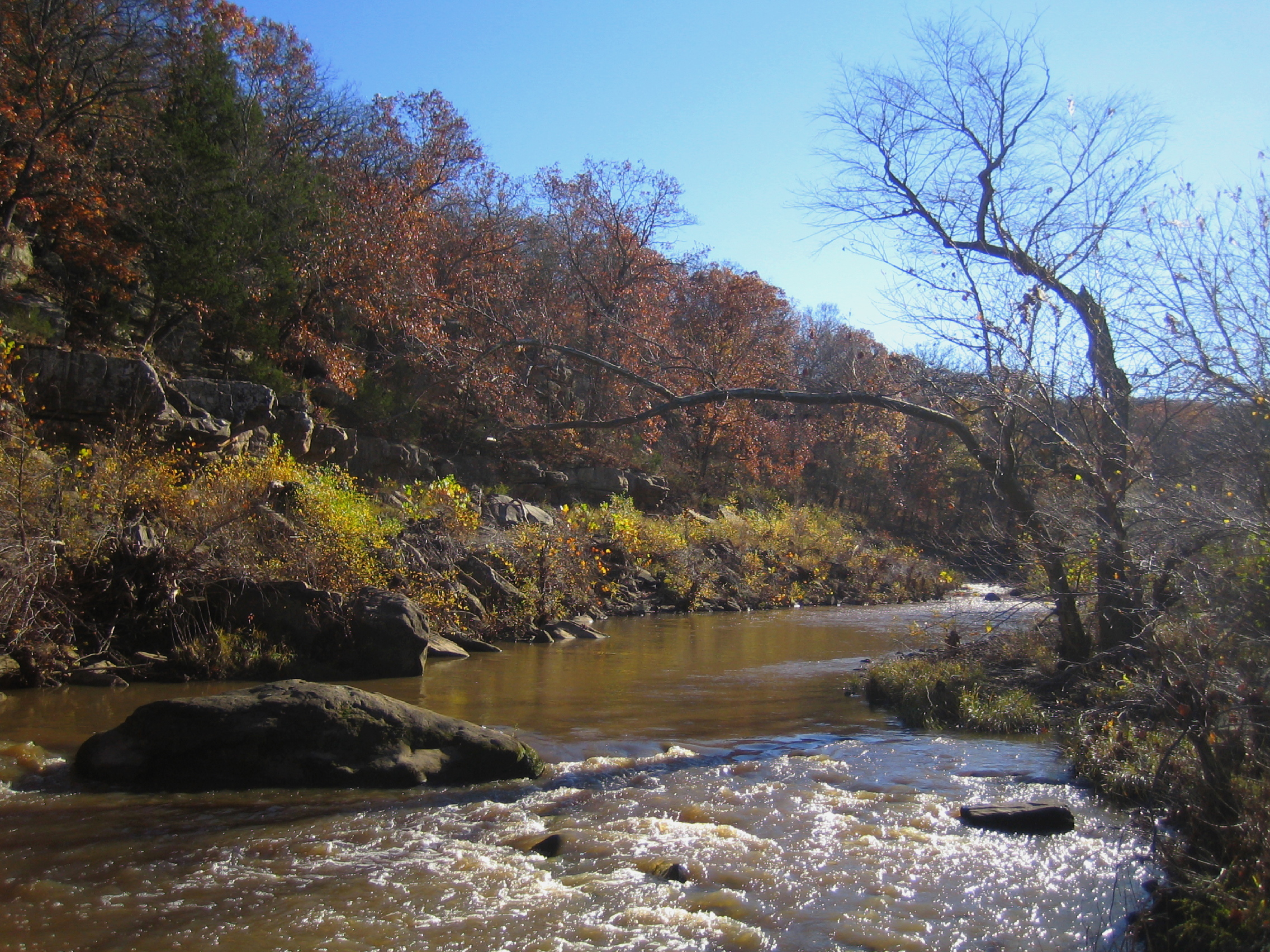
Sand Creek in Autumn at Osage Hills

Sand Creek Bluffs Viewed from Creek Loop Trail

Unusual View of Lookout Lake

View West from Edge of Ridge Over Sand Creek

The Road To Chief Lookout's Grave

Sand Creek

April, Osage County
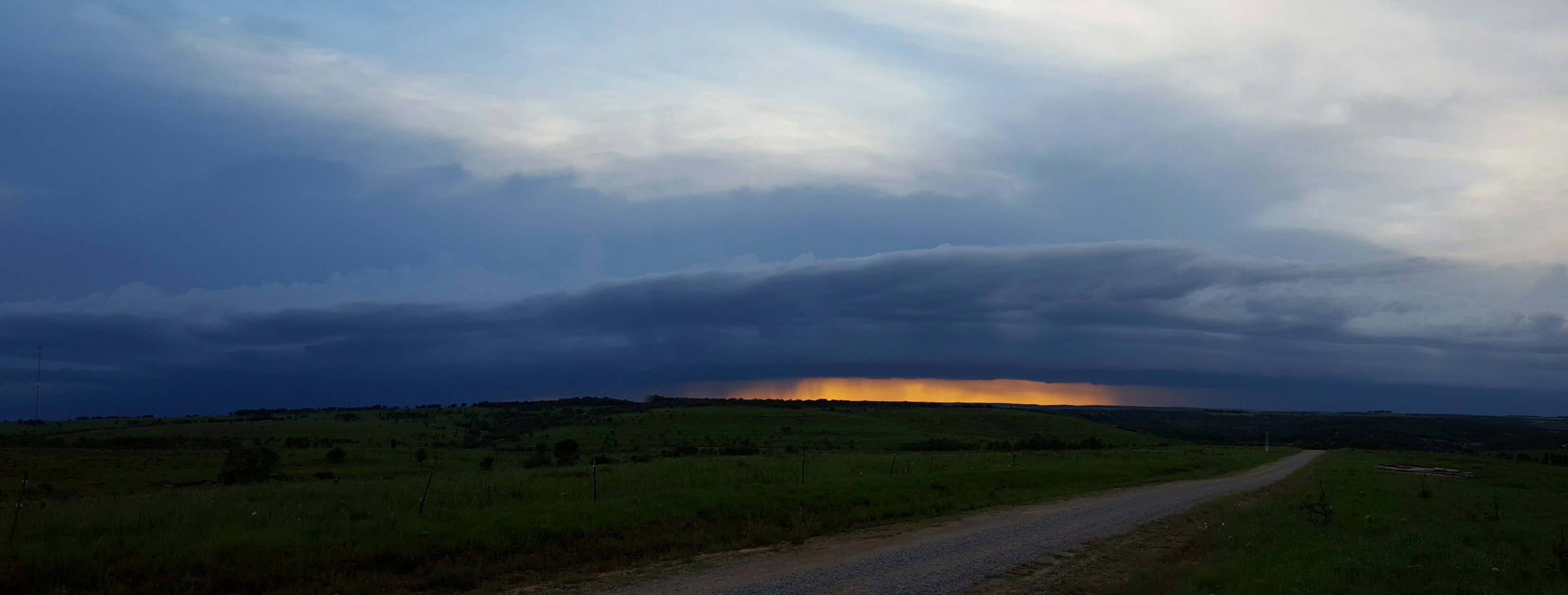
Bartlesville sunset

A Difference of Opinion

Icy Spires

Tallgrass Prairie Panorama

Sand Creek Ledge

Buck Creek, Osage Nation, Oklahoma

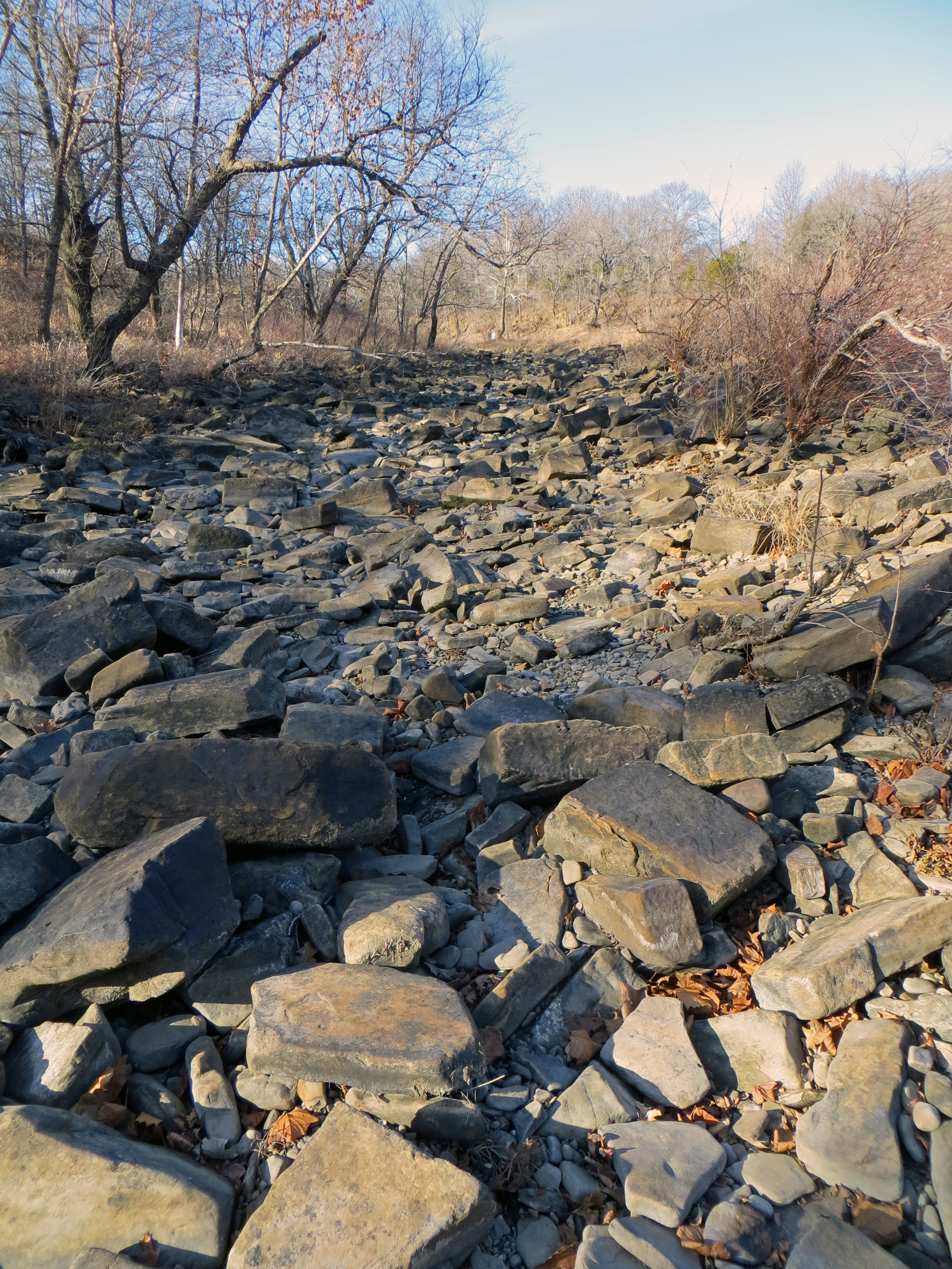
Dry Falls

Flowing Water

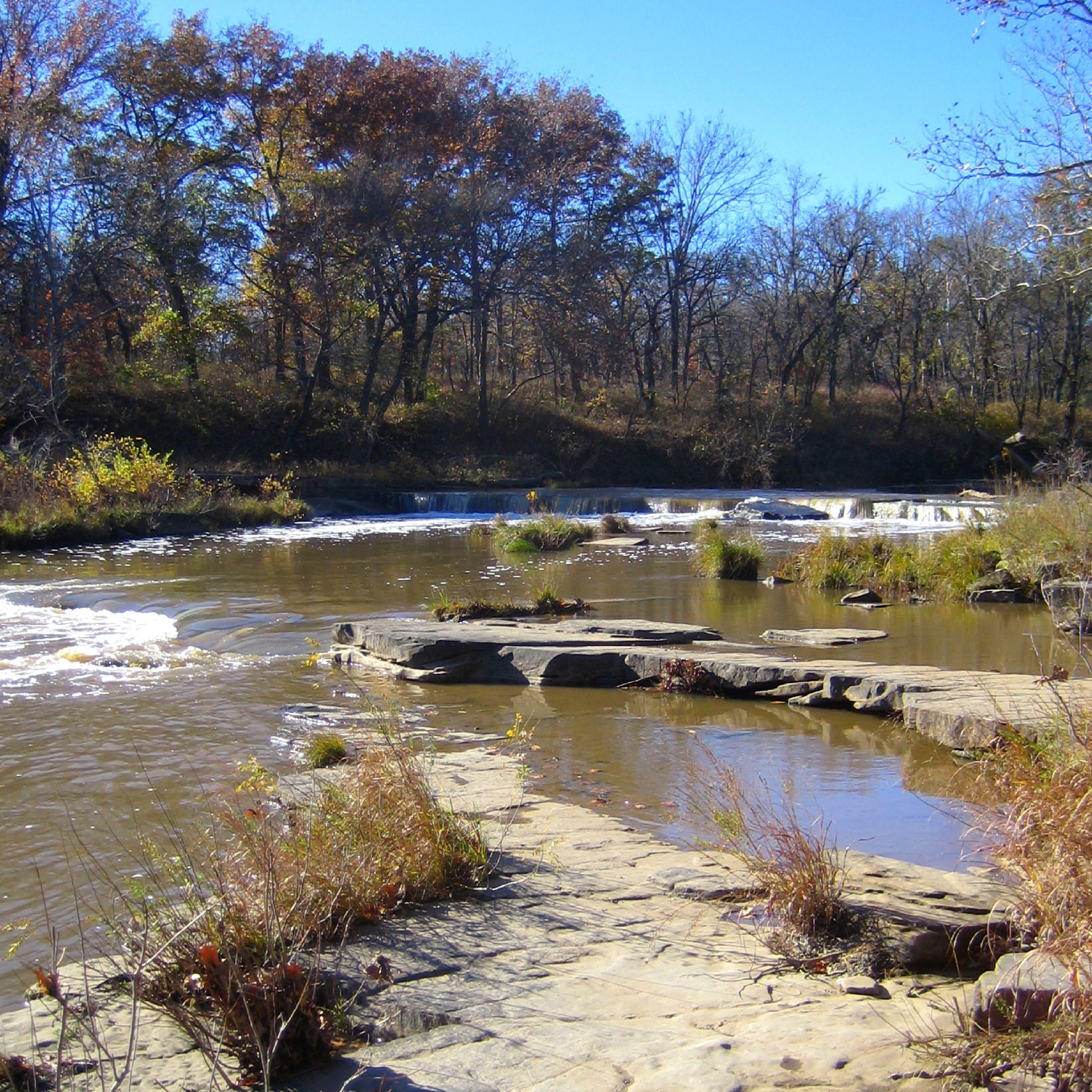
Sand Creek Falls
Sand Creek Falls at Osage Hills

Osage Trail Stream in the Late Afternoon

Dry Ledges at Osage Hills Falls

Tallgrass Prairie Preserve
Rocky Bed of Sand Creek

Above the Osage Trail Grotto

Sand Creek Triple Falls
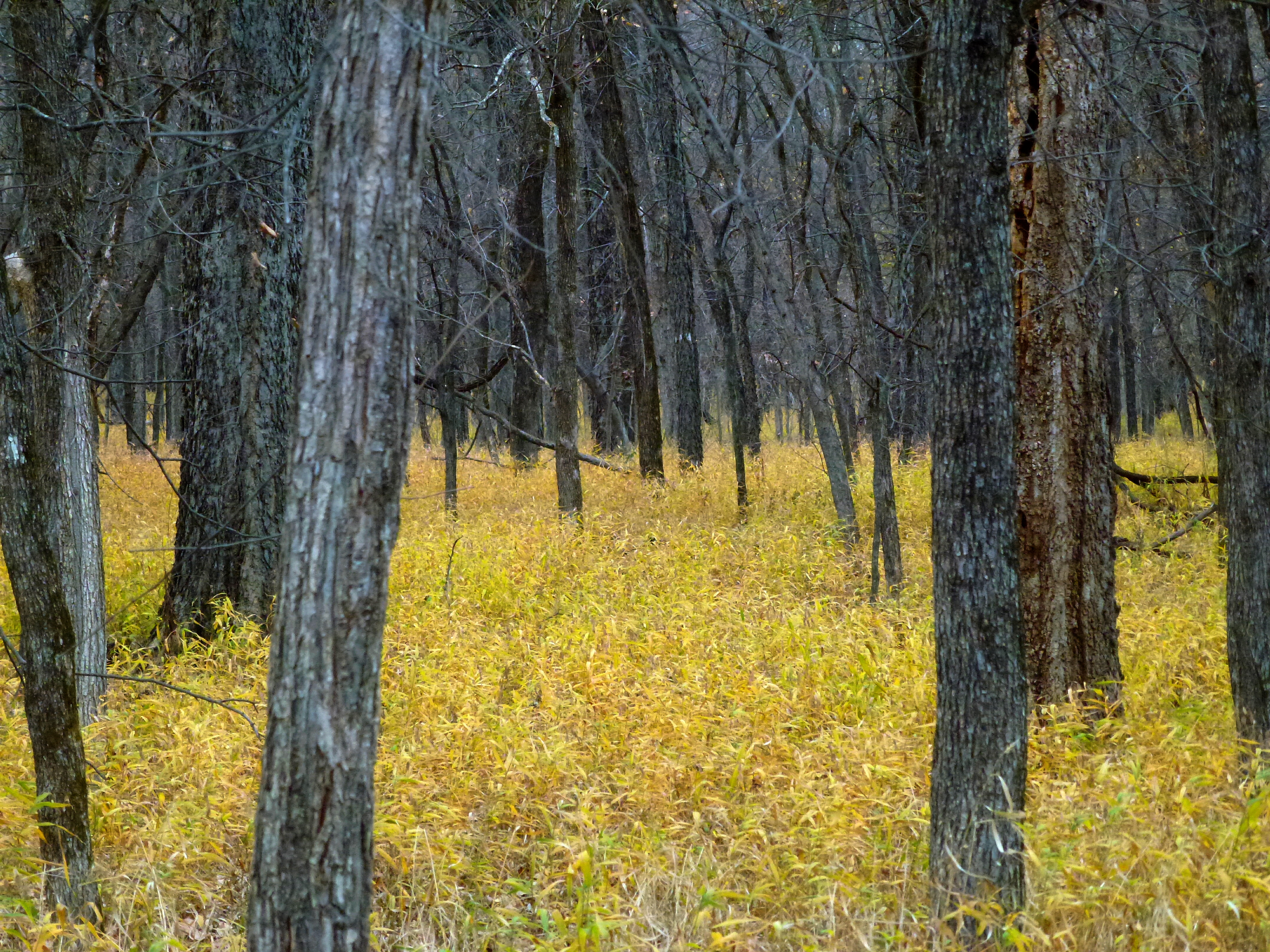
Yellow Forest
Topographic Map of Sunset Lake, Oklahoma, USA
Find elevation by address:

Places near Sunset Lake, Oklahoma, USA:
National Oilwell Varco
The Grandview Inn B&b
The Dave Landrum Community Center, 520 Lynn Ave., Pawhuska,oklahoma
Pawhuska
Osage County
Triangle Serum Co
Settle Inn Rv Park
Whippoorwill
Artillery Mountain
Woolaroc Museum & Wildlife Preserve
Hickory Hill Rd, Pawhuska, OK, USA
Osage Landfill
Cotton-coon-mission Creek Site 4 Reservoir
Western Union
2424 Mountain Cir
1809 S Hickory Ave
Timmons Sheet Metal Inc
Swat Team
Bartlesville
SW Adams Blvd, Bartlesville, OK, USA
Recent Searches:
- Elevation of Corso Fratelli Cairoli, 35, Macerata MC, Italy
- Elevation of Tallevast Rd, Sarasota, FL, USA
- Elevation of 4th St E, Sonoma, CA, USA
- Elevation of Black Hollow Rd, Pennsdale, PA, USA
- Elevation of Oakland Ave, Williamsport, PA, USA
- Elevation of Pedrógão Grande, Portugal
- Elevation of Klee Dr, Martinsburg, WV, USA
- Elevation of Via Roma, Pieranica CR, Italy
- Elevation of Tavkvetili Mountain, Georgia
- Elevation of Hartfords Bluff Cir, Mt Pleasant, SC, USA