Elevation of Tremont Cir SE, Lenoir, NC, USA
Location: United States > North Carolina > Caldwell County > Lenoir > Lenoir >
Longitude: -81.505270
Latitude: 35.9168499
Elevation: 369m / 1211feet
Barometric Pressure: 97KPa
Elevation Map:
Satellite Map:
Related Photos:

Moonset Over the Blue Ridge Mountains 48/52
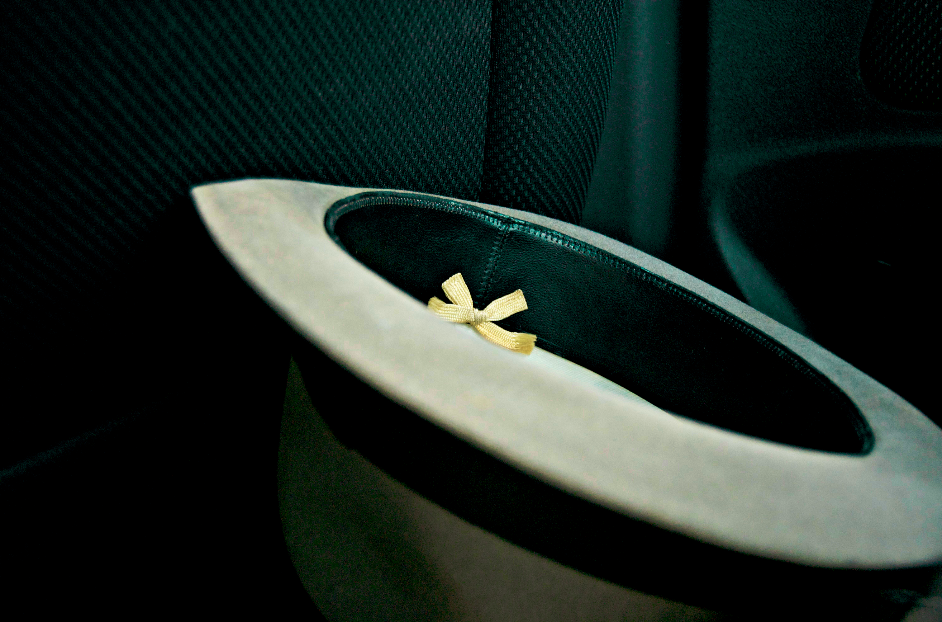
[Full View] Old Hat, Downtown Lenoir, Jonathan Cox Photoshoot

Hibriten Mountain

Hibriten Mountain

Front View, Caldwell County Courthouse

A little different view of the sunset this evening. #sunset #nc #fall #ncwx #tacoma #reflection w/ @shelaeveridge

Fort Defiance

321 By Day

The view of the Blue Ridge Mountains just outside Blowing Rock NC.

Piedmont Powerlines
Waterfront View

Gentle Flows

Spinning Around, Upside Down

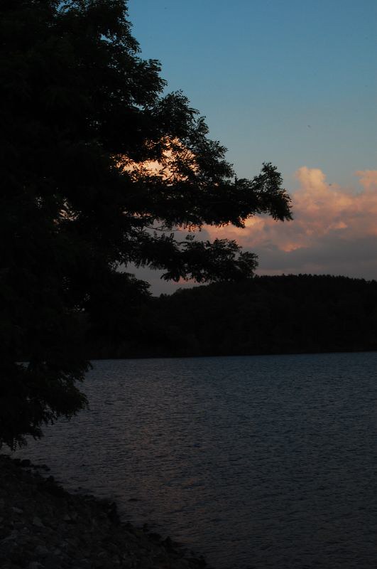
Lake at Sunset
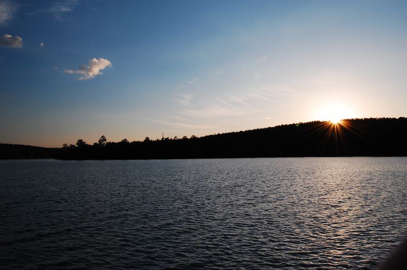
Sunset on the Lake

Uneasy Roads

Watch Your Step! 262/365

Hibriten Mountain

Rhodhiss dam
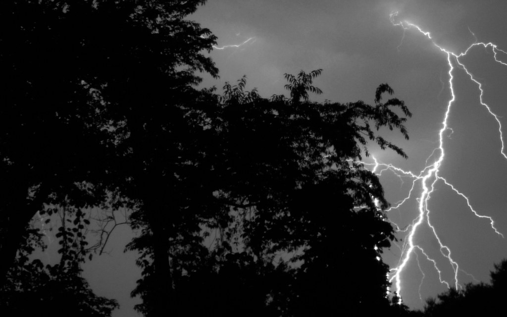
Finally... Some Fireworks...

God's Masterpiece

Catawaba River

Crystal Falls

An Orange Sky (Granite Falls, NC 1/20/06)

Blue Sky

Sunset (Granite Falls, NC 1/20/06)

More Fireworks

the road less taken

tgiving-20081128-h1606a
From a distance
Topographic Map of Tremont Cir SE, Lenoir, NC, USA
Find elevation by address:

Places near Tremont Cir SE, Lenoir, NC, USA:
Edward Jones - Financial Advisor: Ethan K Gilley, Aams®
341 Eastover Cir Ne
Hibriten Mountain
Hibriten Mountain Road
Hawthorne Dr NE, Lenoir, NC, USA
Bethel Colony Of Mercy
1020 Ridgewood Dr Ne
328 Fairlane Dr Ne
Severt Circle
1148 Hibriten Dr Se
Lower Creek
607 Hospital Ave Nw
417 Sharon Ave Nw
1111 Georgetown Ln
Walmart Supercenter
Zack's Fork Mountain Bike Trail
Dr. Robert J. Reichling, Md
Candlelight Farm Ln, Lenoir, NC, USA
313 Summit Pl Sw
Lenoir
Recent Searches:
- Elevation of Corso Fratelli Cairoli, 35, Macerata MC, Italy
- Elevation of Tallevast Rd, Sarasota, FL, USA
- Elevation of 4th St E, Sonoma, CA, USA
- Elevation of Black Hollow Rd, Pennsdale, PA, USA
- Elevation of Oakland Ave, Williamsport, PA, USA
- Elevation of Pedrógão Grande, Portugal
- Elevation of Klee Dr, Martinsburg, WV, USA
- Elevation of Via Roma, Pieranica CR, Italy
- Elevation of Tavkvetili Mountain, Georgia
- Elevation of Hartfords Bluff Cir, Mt Pleasant, SC, USA