Elevation of Hibriten Dr SE, Lenoir, NC, USA
Location: United States > North Carolina > Caldwell County > Lenoir > Lenoir >
Longitude: -81.513059
Latitude: 35.8942819
Elevation: 400m / 1312feet
Barometric Pressure: 97KPa
Elevation Map:
Satellite Map:
Related Photos:
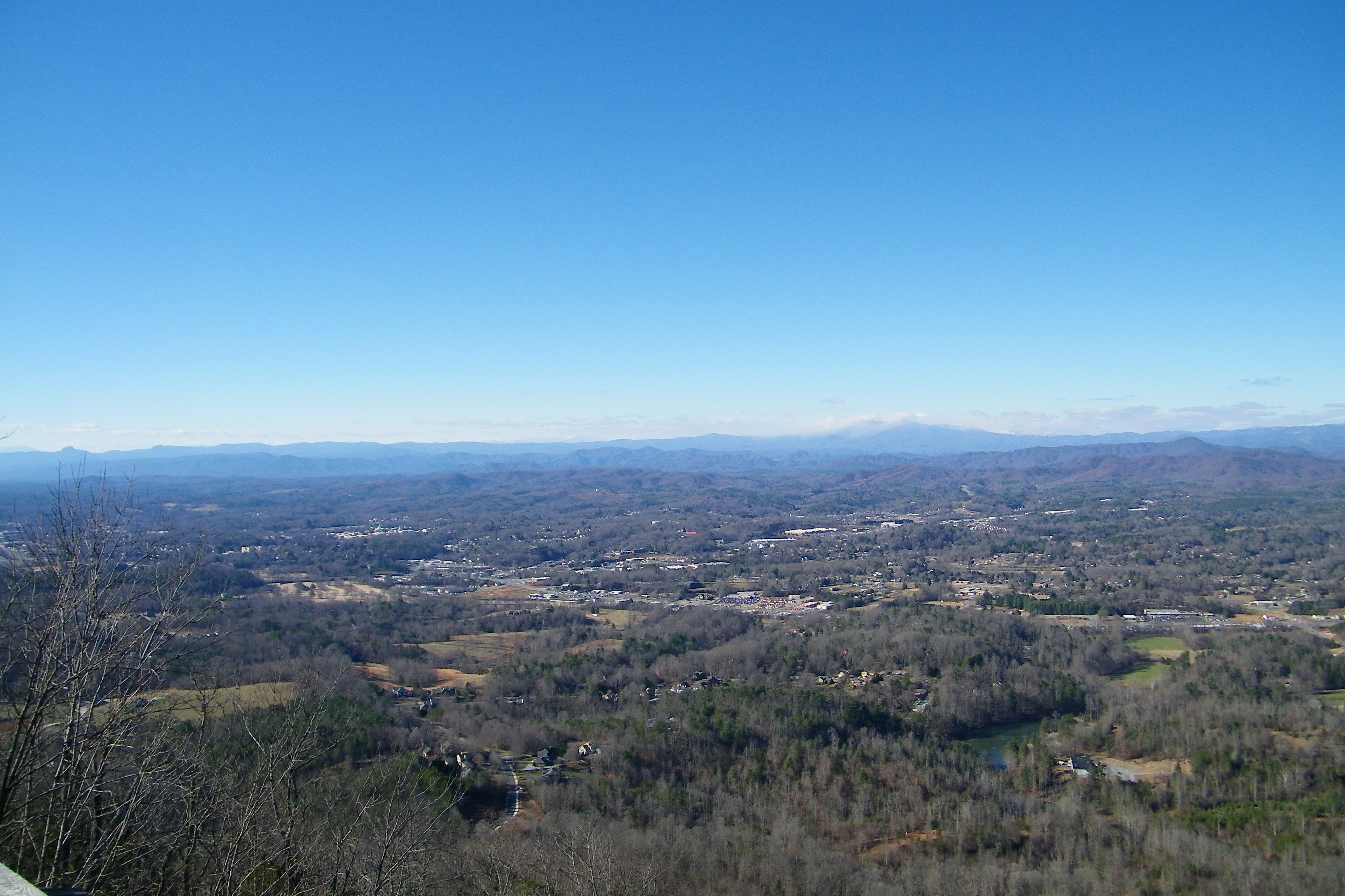
Hibriten Mountain
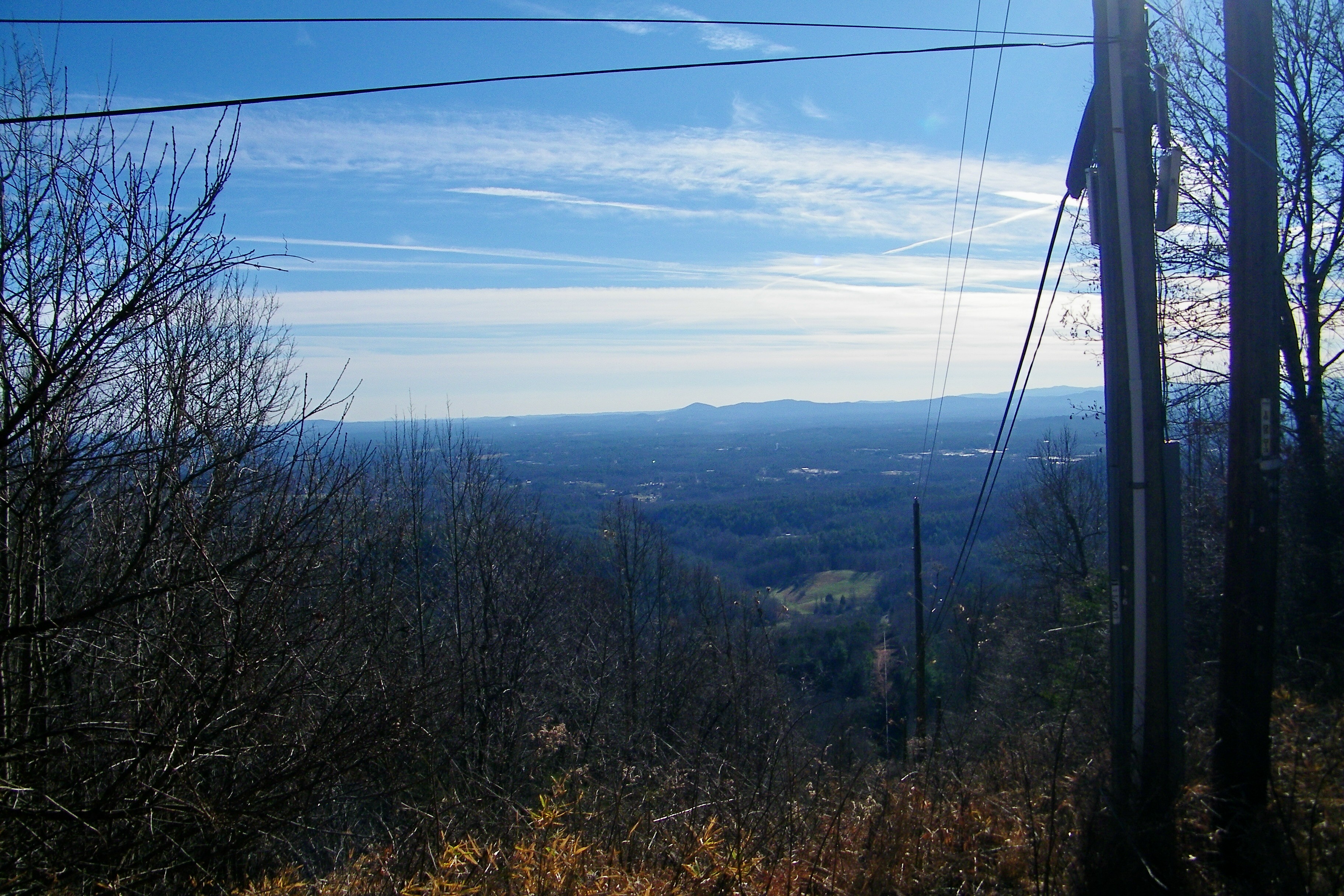
Hibriten Mountain
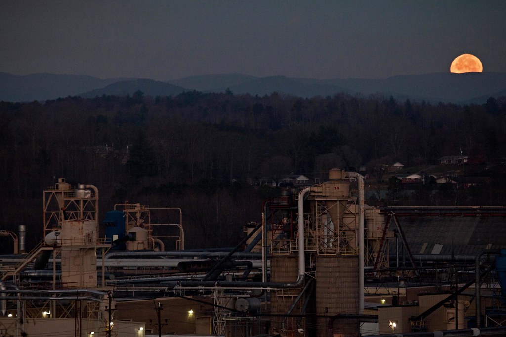
Moonset Over the Blue Ridge Mountains 48/52
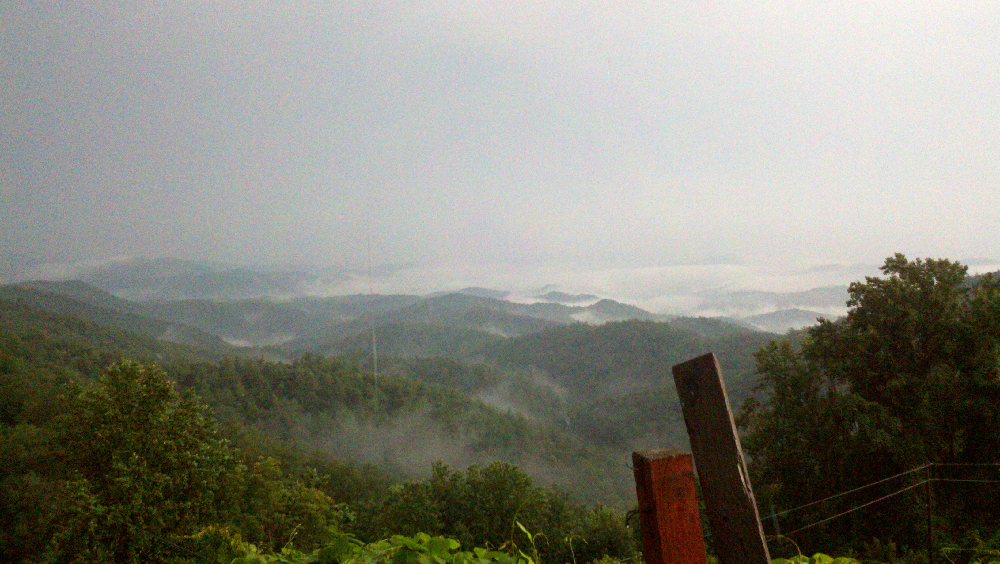
The view of the Blue Ridge Mountains just outside Blowing Rock NC.

[Full View] Old Hat, Downtown Lenoir, Jonathan Cox Photoshoot

A little different view of the sunset this evening. #sunset #nc #fall #ncwx #tacoma #reflection w/ @shelaeveridge
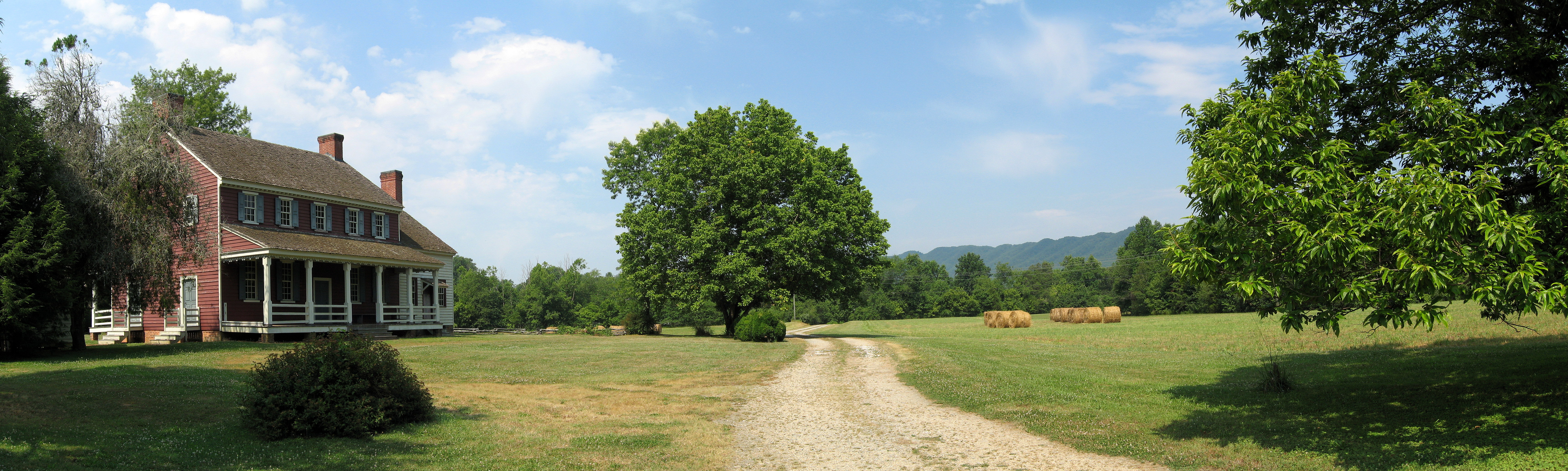
Fort Defiance
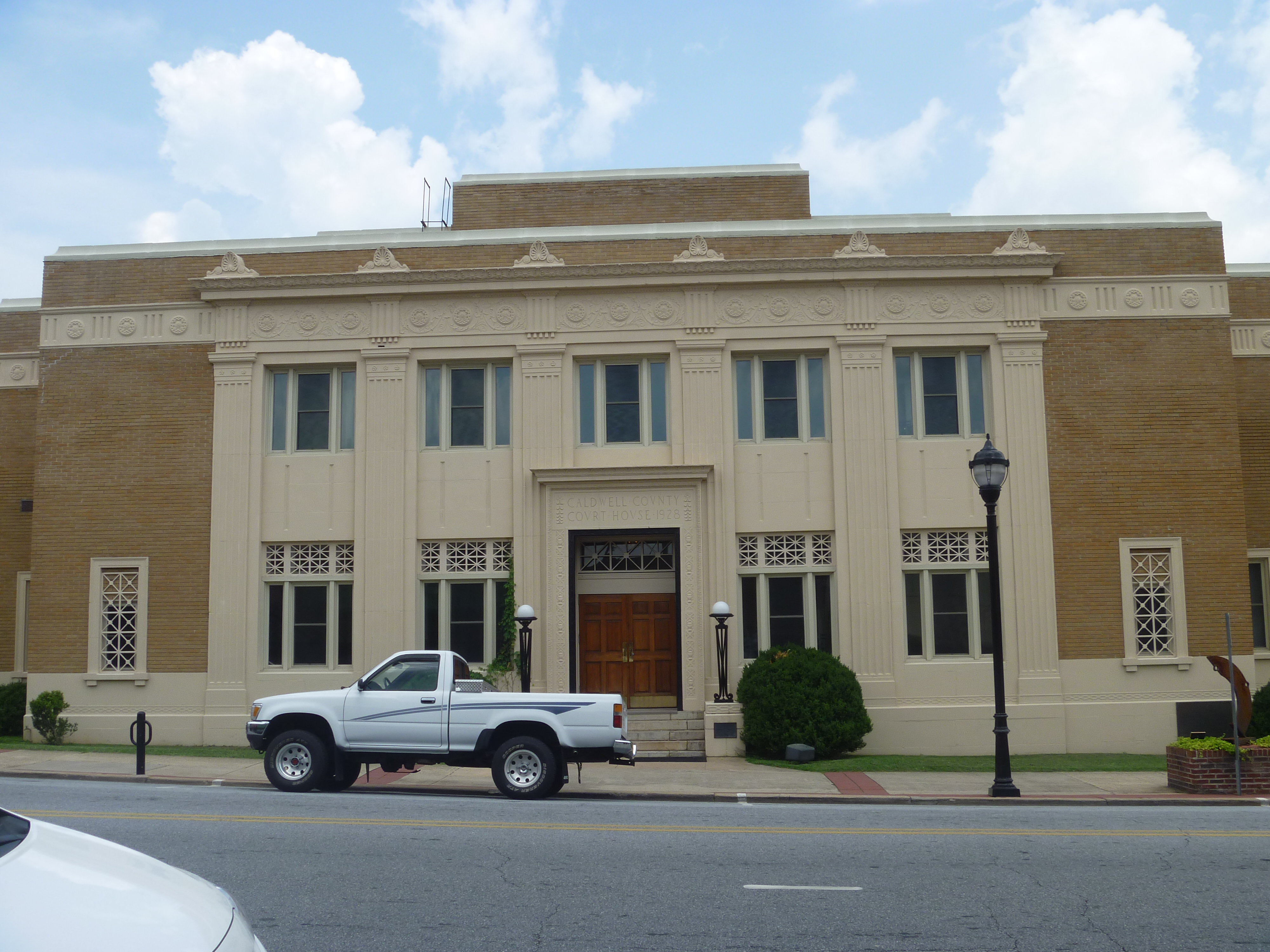
Front View, Caldwell County Courthouse
321 By Day
Piedmont Powerlines
Topographic Map of Hibriten Dr SE, Lenoir, NC, USA
Find elevation by address:

Places near Hibriten Dr SE, Lenoir, NC, USA:
313 Summit Pl Sw
Hibriten Mountain Road
722 Connelly Springs Rd
Armstrong Ct SW, Lenoir, NC, USA
412 Tremont Cir Se
Hibriten Mountain
341 Eastover Cir Ne
Edward Jones - Financial Advisor: Ethan K Gilley, Aams®
Dr. Robert J. Reichling, Md
607 Hospital Ave Nw
Mccrary Place
Lenoir
Meadowview Pl, Lenoir, NC, USA
417 Sharon Ave Nw
Lenoir, North Carolina
328 Fairlane Dr Ne
Walmart Supercenter
Hawthorne Dr NE, Lenoir, NC, USA
1020 Ridgewood Dr Ne
308 Beall St Nw
Recent Searches:
- Elevation of Corso Fratelli Cairoli, 35, Macerata MC, Italy
- Elevation of Tallevast Rd, Sarasota, FL, USA
- Elevation of 4th St E, Sonoma, CA, USA
- Elevation of Black Hollow Rd, Pennsdale, PA, USA
- Elevation of Oakland Ave, Williamsport, PA, USA
- Elevation of Pedrógão Grande, Portugal
- Elevation of Klee Dr, Martinsburg, WV, USA
- Elevation of Via Roma, Pieranica CR, Italy
- Elevation of Tavkvetili Mountain, Georgia
- Elevation of Hartfords Bluff Cir, Mt Pleasant, SC, USA