Elevation of Trans-Canada Hwy, Division No. 6, Subd. C, NL, Canada
Location: Canada > Newfoundland And Labrador > Division No. 6 > Division No. 6, Subd. C >
Longitude: -56.095954
Latitude: 49.178173
Elevation: 180m / 591feet
Barometric Pressure: 99KPa
Elevation Map:
Satellite Map:
Related Photos:
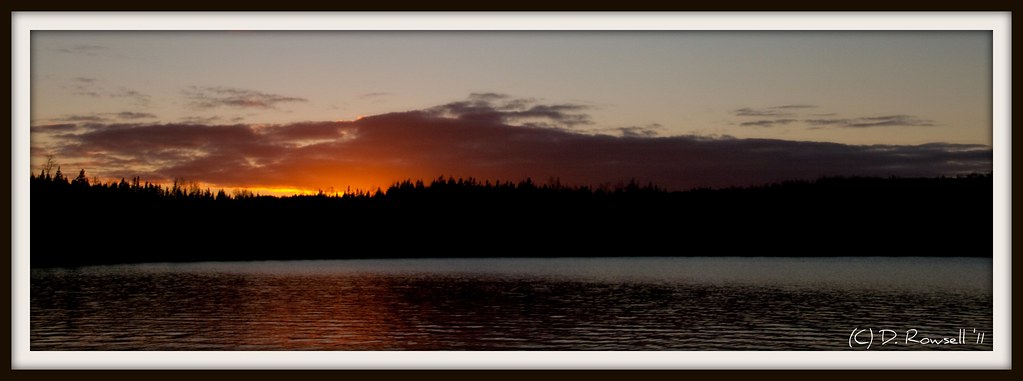
Jim's Pond Sunset. Pano Crop
Topographic Map of Trans-Canada Hwy, Division No. 6, Subd. C, NL, Canada
Find elevation by address:

Places near Trans-Canada Hwy, Division No. 6, Subd. C, NL, Canada:
Division No. 6, Subd. C
Badger
37 Church St, Badger, NL, Canada
Hodges Hill
Leech Pond
Lemotte's Lake
17 Prices Ave
Grand Falls-windsor
27 Bank Rd, Grand Falls-Windsor, NL A2A 1G7, Canada
27 Brown Ave
Southcott Drive
Tucker Place
Tucker Place
Hicks Place
1 Bouzane St
Hilltop Kwikway
25 Andrews Cres
1 Andrews Cres
47 Muir Ave
Bishop's Falls
Recent Searches:
- Elevation of Corso Fratelli Cairoli, 35, Macerata MC, Italy
- Elevation of Tallevast Rd, Sarasota, FL, USA
- Elevation of 4th St E, Sonoma, CA, USA
- Elevation of Black Hollow Rd, Pennsdale, PA, USA
- Elevation of Oakland Ave, Williamsport, PA, USA
- Elevation of Pedrógão Grande, Portugal
- Elevation of Klee Dr, Martinsburg, WV, USA
- Elevation of Via Roma, Pieranica CR, Italy
- Elevation of Tavkvetili Mountain, Georgia
- Elevation of Hartfords Bluff Cir, Mt Pleasant, SC, USA