Elevation of Bishop's Falls, NL, Canada
Location: Canada > Newfoundland And Labrador > Division No. 6 >
Longitude: -55.487801
Latitude: 49.0138869
Elevation: 27m / 89feet
Barometric Pressure: 101KPa
Elevation Map:
Satellite Map:
Related Photos:
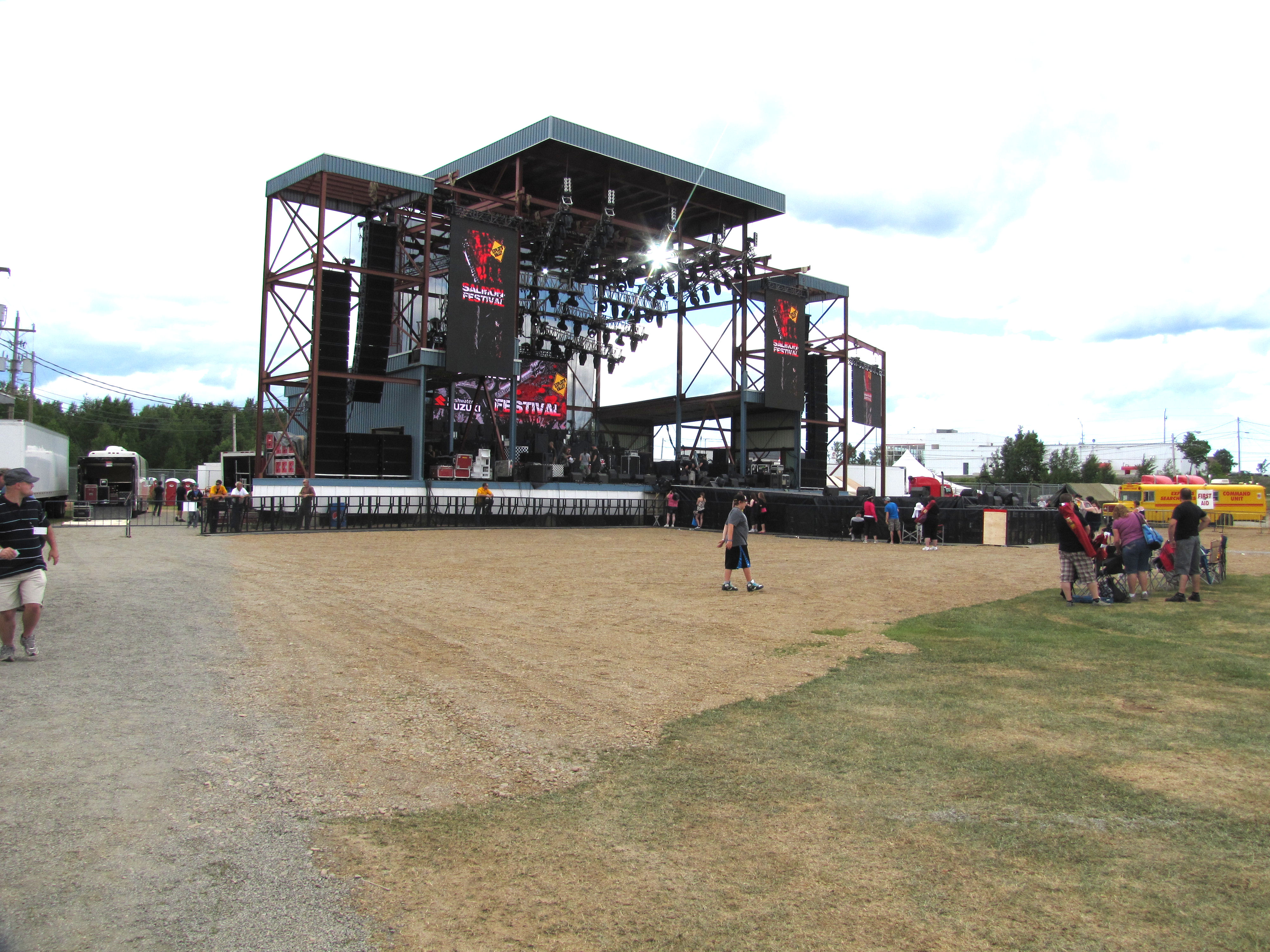
Centennial Field
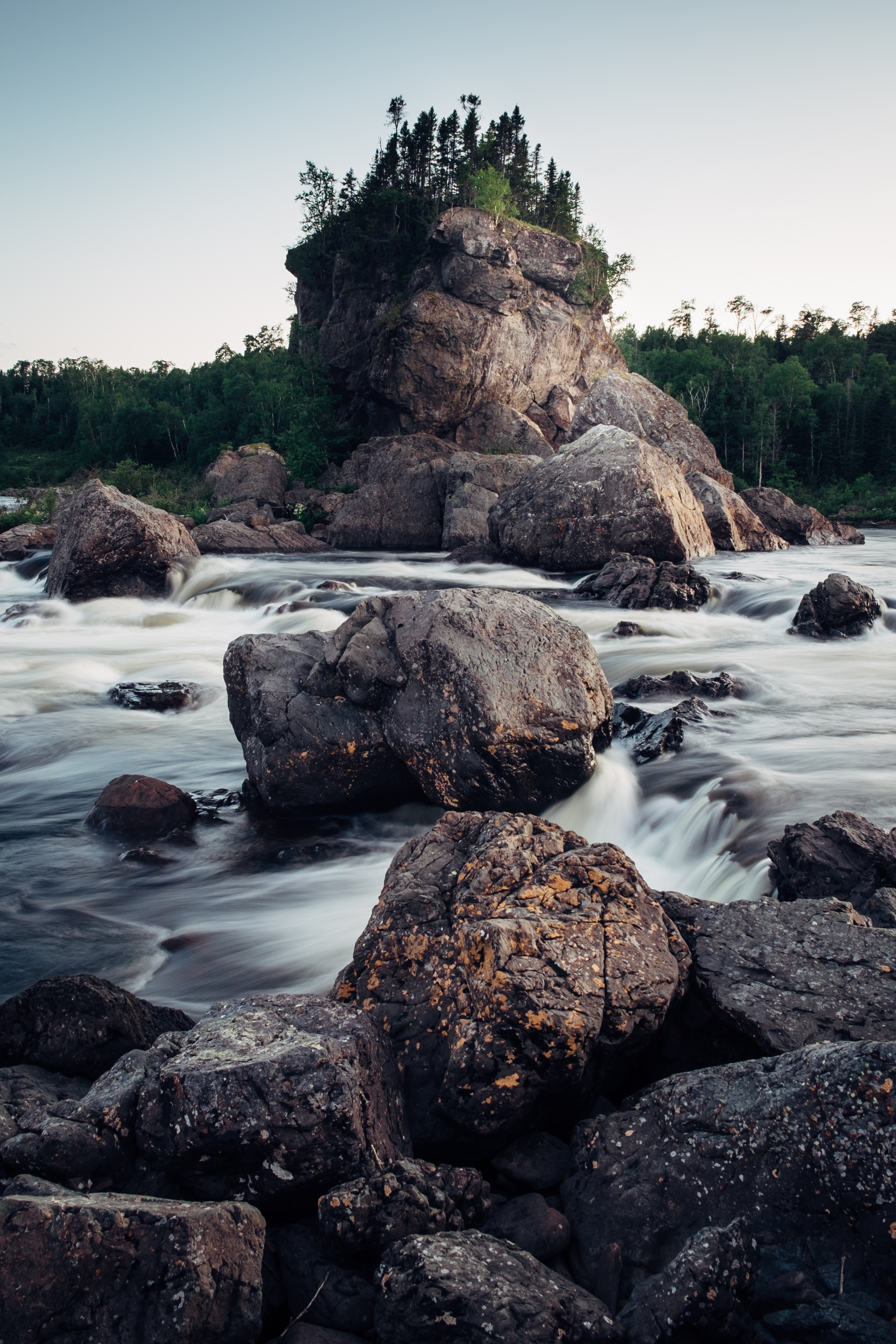
The Exploits River
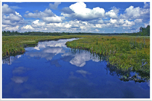
Corduroy Brook

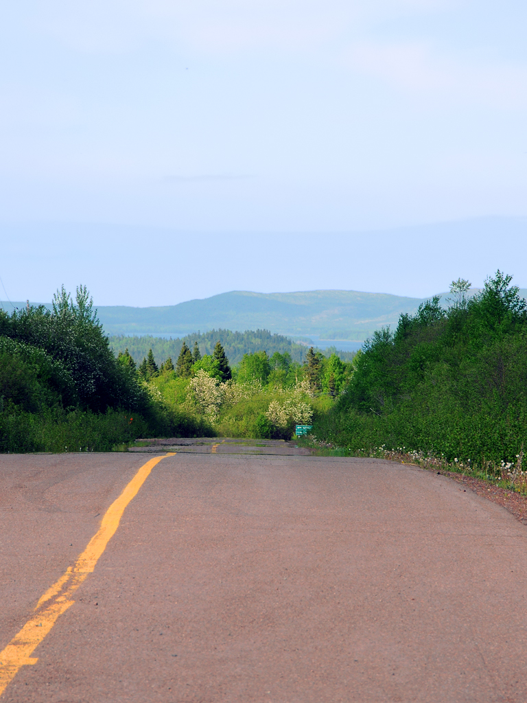
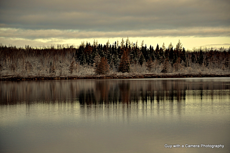
My Father's View
pl08juin11 220

Corduroy Brook Trail
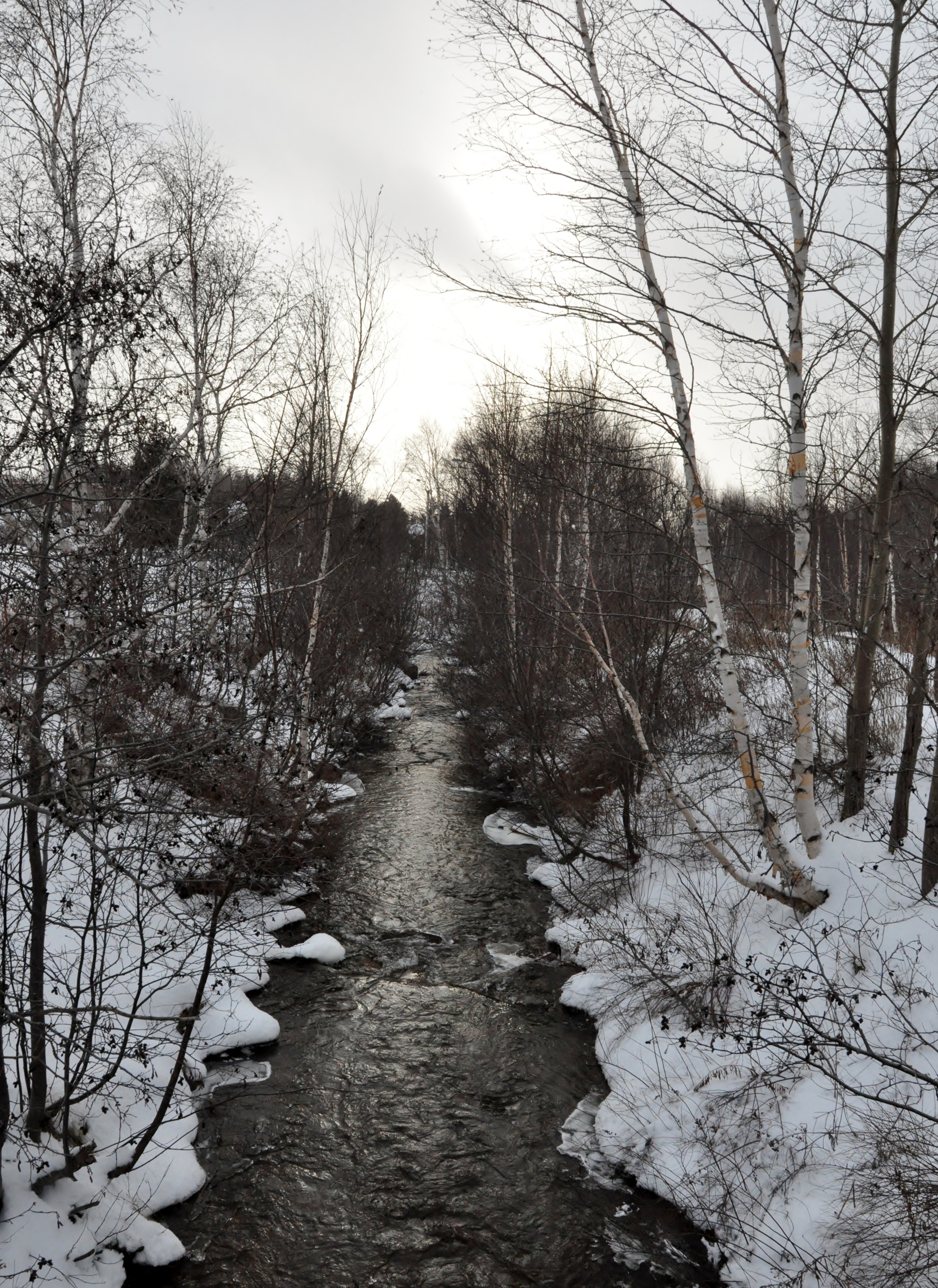
Corduroy Brook Trail
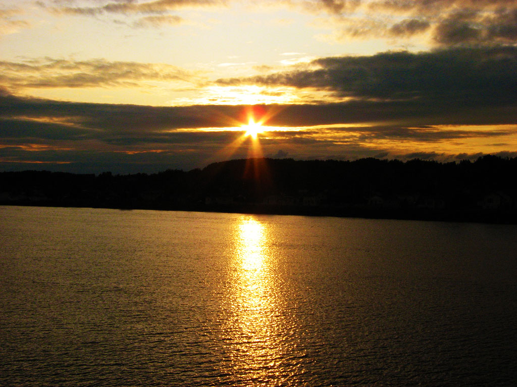
sun rise on the trail
Corduroy Brook Trail

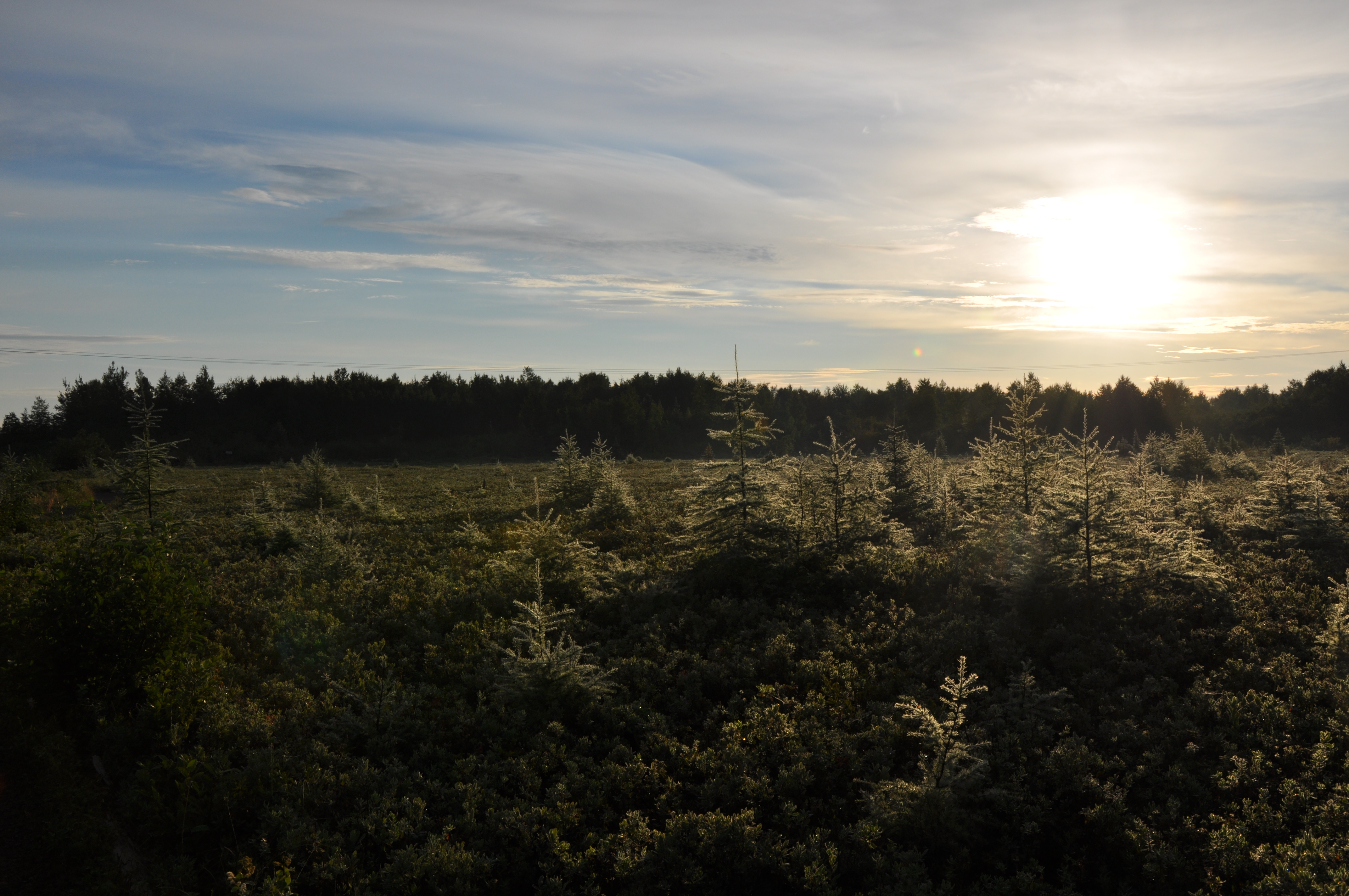
THINGS I SEE IN THE SPRING
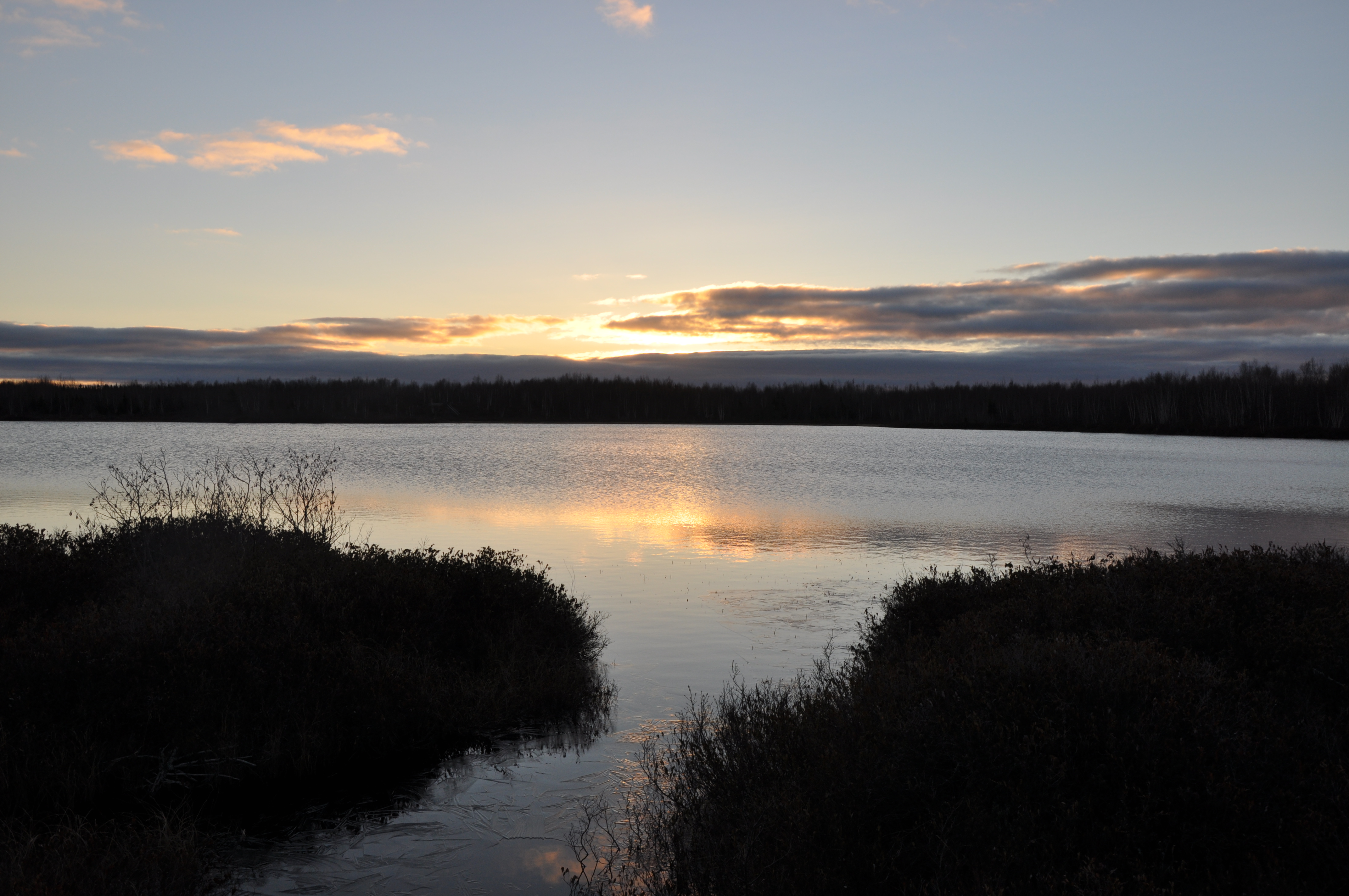
FIRST SNOW
Bishop's Falls

Twillingate Island (Central)
Topographic Map of Bishop's Falls, NL, Canada
Find elevation by address:

Places in Bishop's Falls, NL, Canada:
Places near Bishop's Falls, NL, Canada:
Hilltop Kwikway
1 Andrews Cres
1 Bouzane St
25 Andrews Cres
Hicks Place
Tucker Place
Tucker Place
47 Muir Ave
27 Brown Ave
Southcott Drive
17 Prices Ave
27 Bank Rd, Grand Falls-Windsor, NL A2A 1G7, Canada
Grand Falls-windsor
Norris Arm
233 Gillingham Ave
233 Gillingham Ave
233 Nl-351
Lemotte's Lake
Leech Pond
Hodges Hill
Recent Searches:
- Elevation of Corso Fratelli Cairoli, 35, Macerata MC, Italy
- Elevation of Tallevast Rd, Sarasota, FL, USA
- Elevation of 4th St E, Sonoma, CA, USA
- Elevation of Black Hollow Rd, Pennsdale, PA, USA
- Elevation of Oakland Ave, Williamsport, PA, USA
- Elevation of Pedrógão Grande, Portugal
- Elevation of Klee Dr, Martinsburg, WV, USA
- Elevation of Via Roma, Pieranica CR, Italy
- Elevation of Tavkvetili Mountain, Georgia
- Elevation of Hartfords Bluff Cir, Mt Pleasant, SC, USA