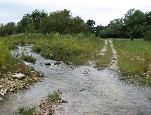
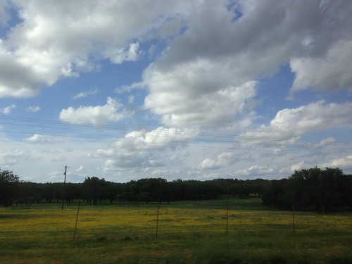
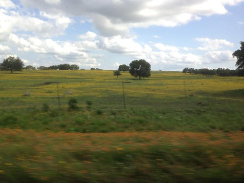
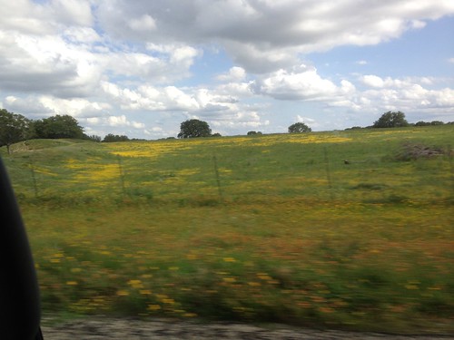
Elevation of Tranquil Ln, Mountain Home, TX, USA
Location: United States > Texas > Kerr County > Mountain Home >
Longitude: -99.456133
Latitude: 30.2463851
Elevation: 686m / 2251feet
Barometric Pressure: 93KPa
Related Photos:
Topographic Map of Tranquil Ln, Mountain Home, TX, USA
Find elevation by address:

Places near Tranquil Ln, Mountain Home, TX, USA:
Louise Lane
Mountain Home
Kerr County
101 Crossing Dr
141 Ranch Road
203 Cedar Cliff Loop W
115 Chaparral Pl W
Ranch Rim Drive West
Hunt
181 River Rd
181 River Rd
Harper
Lange Ravine, Hunt, TX, USA
73 Kramer Rd
Moonpath Road
300 Lazy Creek Rd
Pvt Rd, Mountain Home, TX, USA
143 Marymeade Dr
120 Marymeade Dr
985 Dreamcatcher Ln
Recent Searches:
- Elevation of Corso Fratelli Cairoli, 35, Macerata MC, Italy
- Elevation of Tallevast Rd, Sarasota, FL, USA
- Elevation of 4th St E, Sonoma, CA, USA
- Elevation of Black Hollow Rd, Pennsdale, PA, USA
- Elevation of Oakland Ave, Williamsport, PA, USA
- Elevation of Pedrógão Grande, Portugal
- Elevation of Klee Dr, Martinsburg, WV, USA
- Elevation of Via Roma, Pieranica CR, Italy
- Elevation of Tavkvetili Mountain, Georgia
- Elevation of Hartfords Bluff Cir, Mt Pleasant, SC, USA


