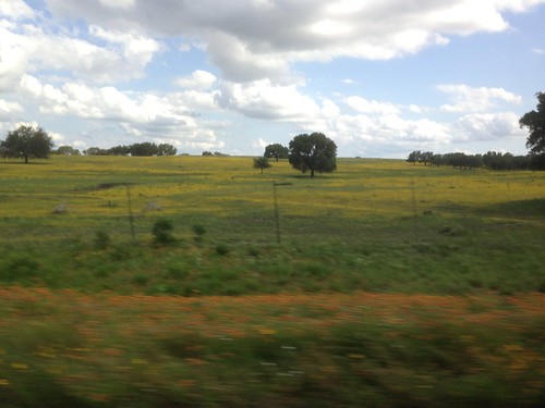
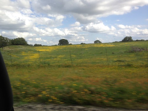
Elevation of Louise Lane, Louise Ln, Texas, USA
Location: United States > Texas > Kerr County > Mountain Home >
Longitude: -99.396095
Latitude: 30.2215307
Elevation: 663m / 2175feet
Barometric Pressure: 94KPa
Related Photos:
Topographic Map of Louise Lane, Louise Ln, Texas, USA
Find elevation by address:

Places near Louise Lane, Louise Ln, Texas, USA:
Mountain Home
101 Crossing Dr
Kerr County
115 Chaparral Pl W
Ranch Rim Drive West
Hunt
181 River Rd
181 River Rd
300 Lazy Creek Rd
210 Connie Ln S
269 Ingram Hills Rd
Ingram
Junction Hwy, Ingram, TX, USA
Crenshaw Road South
168 George Hollow Rd N
2885 Goat Creek Rd
414 Brandon Rd
2398 Goat Creek Rd
2515 Goat Creek Rd
529 Lake Ridge Rd
Recent Searches:
- Elevation of Corso Fratelli Cairoli, 35, Macerata MC, Italy
- Elevation of Tallevast Rd, Sarasota, FL, USA
- Elevation of 4th St E, Sonoma, CA, USA
- Elevation of Black Hollow Rd, Pennsdale, PA, USA
- Elevation of Oakland Ave, Williamsport, PA, USA
- Elevation of Pedrógão Grande, Portugal
- Elevation of Klee Dr, Martinsburg, WV, USA
- Elevation of Via Roma, Pieranica CR, Italy
- Elevation of Tavkvetili Mountain, Georgia
- Elevation of Hartfords Bluff Cir, Mt Pleasant, SC, USA


