Elevation of Trail Way Dr, Grafton, WI, USA

Location: United States > Wisconsin > Ozaukee County > Grafton >

Longitude: -87.931144

Latitude: 43.3661997

Elevation: 239m / 784feet

Barometric Pressure: 98KPa

Elevation Map:

elevation map of Trail Way Dr, Grafton, WI, USA

Satellite Map:

Satellite map of Trail Way Dr, Grafton, WI, USA
Related Photos:

architecure artdeco bw blackwhite blackandwhite burlding marquee monochrome movietheater old rivoli theater vitrolite cedarburg wisconsin unitedstates us
The Art Deco Rivoli Theater
window wisconsin canon ngc through grosbeak birdwatcher rosebreastedgrosbeak cedarburg rosebreasted ozaukeecounty passionphotography 300mmf40 deerpix deerpixhome
Rose-Breasted Grosbeak
blackandwhite bw tree grave wisconsin death gloomy branches cemetary tomb tombstone gothic morbid doom gnarly 4x5 delta100 90mm crypt twisted ilford largeformat gnarled twisty portwashington portwashingtonwi
The Rest Is Gravey
bw texaco architecture gasstations yaschica yashicamat124 120film tlr twinlensreflex cedarburg cedarburgwisconsin texacostations texacogas explored inexplore pagoda
Texaco Station, Cedarburg, Wisconsin, 1976
honda cb750 sohc
Honda CB750 History
wisconsin unitedstates cedarburg
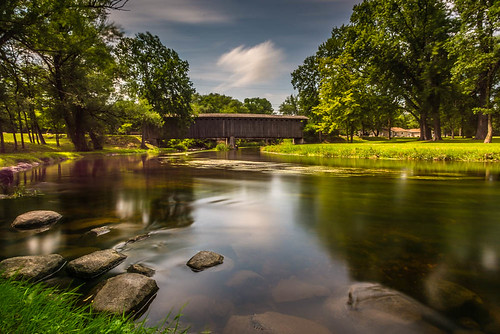
Covered Bridge Long Exposure
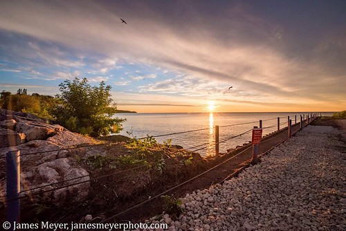
Sunrise in Port
specific gravity
lighthouse wisconsin lakemichigan geotag portwashington iphonemytracks
Port Washington Pierhead Light
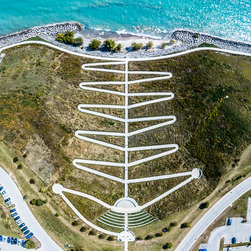
concordiauniversity usa 2017 drone dji mavic concordiauniversitywisconsin wisconsin djimavicpro mavicpro aerial unitedstates aerialphotography september lakemichigan mequon us
Zig Zag
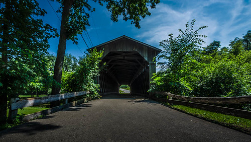
bridge wisconsin unitedstates coveredbridge leadinglines cedarburg coveredbridgepark
Through the Old Bridge
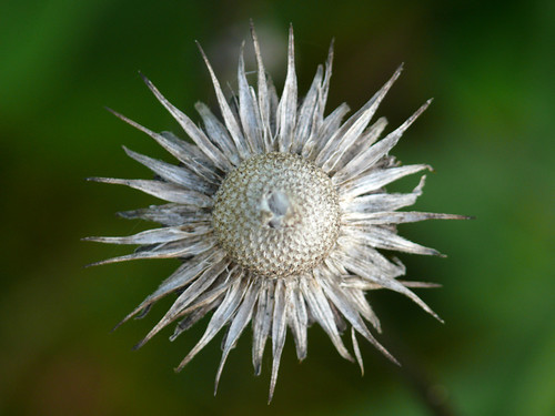
flower wisconsin wi dryflower newburg riveredge ozaukee riveredgenaturecenter mattdrollinger matthewdrollinger
Dry flower (top view)
Hopper train
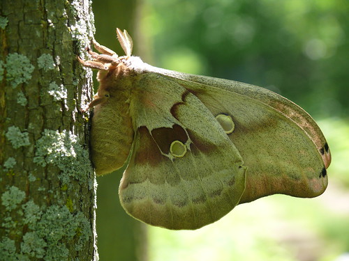
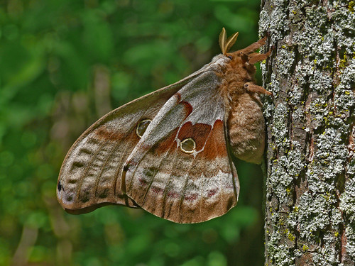
wisconsin wi newburg naturecenter saturniidae riveredge polyphemusmoth ozaukee giantsilkmoth riveredgenaturecenter mattdrollinger matthewdrollinger
Polyphemus Moth - Another Ventral View
square lofi squareformat iphoneography instagramapp uploaded:by=instagram foursquare:venue=4b278df8f964a520538724e3
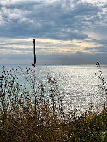
View of Lake Michigan from Concordia U.
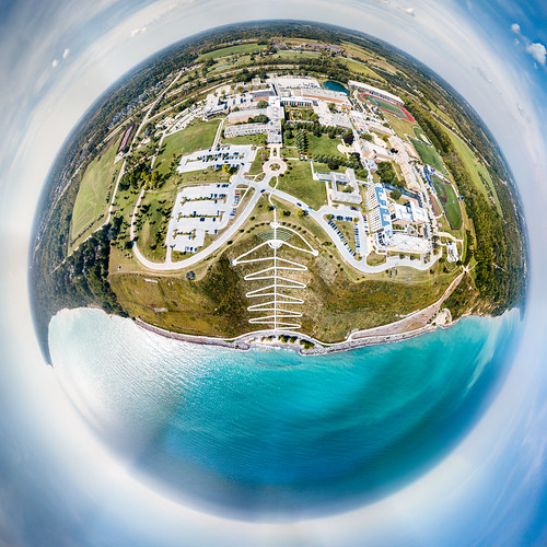
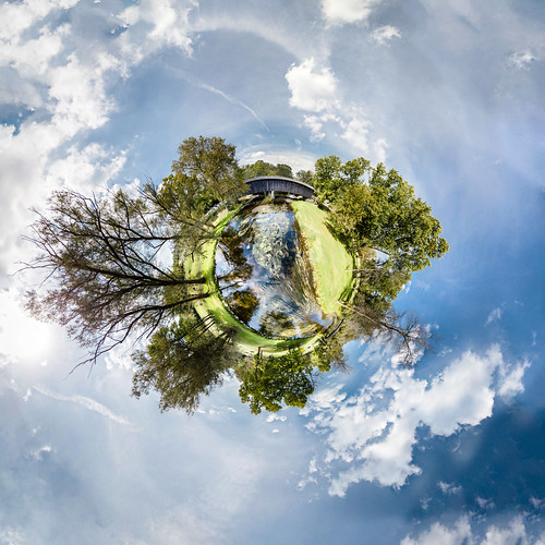
concordiauniversity concordia littleplanet aerial mequon september tinyplanet ozaukeecounty drone concordiauniversitywisconsin dji mavic panorama wisconsin 360panorama 2017 school unitedstates aerialphotography mavicpro djimavicpro us
Planet Concordia
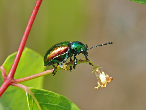
wisconsin beetle wi newburg riveredge ozaukee dogbaneleafbeetle chrysochusauratus riveredgenaturecenter mattdrollinger matthewdrollinger
Dogbane Leaf Beetle - Chrysochus auratus
early bloom...
wisconsin wi newburg naturecenter saturniidae riveredge polyphemusmoth ozaukee giantsilkmoth riveredgenaturecenter mattdrollinger matthewdrollinger
Polyphemus Moth - Ventral View
lakemichigan mequon nature sky
Lake Michigan View
panorama september aerialphotography 2017 littleplanet dji mavic drone wisconsin 360panorama aerial cedarburgcoveredbridge unitedstates djimavicpro mavicpro tinyplanet cedarburg us
Covered Bridge
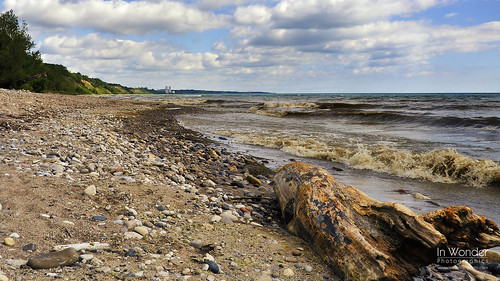
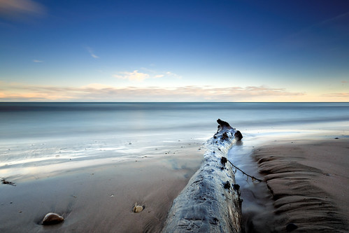
lake beach wisconsin log nikon waves michigan shoreline pebbles driftwood markadsit
August, Lake Michigan
moon yourhomeport yourtake discoverwi cnnweather ozaukee wisconsin wisconsinphotographer jamesmeyer jamesmeyerphotography
Waiting on the Strawberry Moon
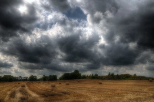
autumn sky fall weather wisconsin clouds day cloudy farm harvest hay mequon
Wisconsin Hay Harvest Prior to Rain
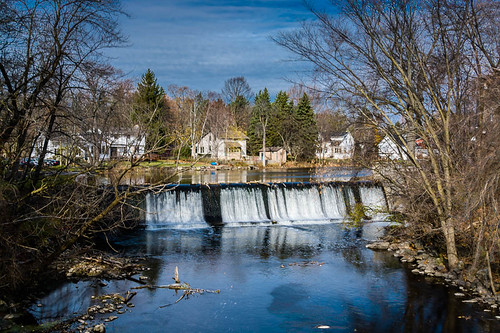
november autumn fall water wisconsin landscape waterfall unitedstates dam cedarcreek 2014 cedarburg 119reservoir
119 Reservoir
blackandwhite bw macro nature closeup outdoors iphoneography iphone5s
Getting close
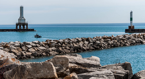
lighthouse lake water rocks lakemichigan portwashington
On a Nicer Day....
instagramapp square squareformat iphoneography uploaded:by=instagram
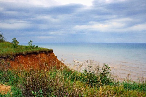
Lion's Den Gorge #kimberlyreneephotography #lionsdengorge #gorge #lakemichigan #beach #lake #wisconsin #weather #cloudyday #greatlakes #shoresoflakemichigan #cliff
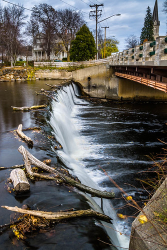
bridge water wisconsin landscape waterfall unitedstates dam cedarcreek cedarburg cedarcreekdam
Cedar Creek Dam
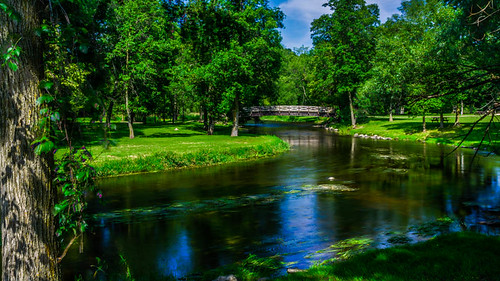
bridge water wisconsin creek river unitedstates cedarcreek cedarburg coveredbridgepark
Round The Bend
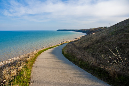
beach beautiful wisconsin spring midwest path lakemichigan hills milwaukee lakeshore suburb concordiauniversity bluff mequon 2013 mbaphotography
Choose Your Own Path
trees fall yellow wisconsin path hike trail abigfave
Fall trail
wisconsin unitedstates portwashington
Shawn Conrad20140921-.JPG
wisconsin unitedstates saukville
20130719-IMG_1171-Edit.jpg
longexposure orange water yellow wisconsin photoshop sunrise canon catchycolors landscape lakemichigan adobe milwaukee polarizer f4 mequon lightroom cokin 70200lis ndgrad 40d
Gull on a Rock - Sunrise on Lake Michigan
leica wisconsin cameraraw portwashington vlux3 topazdenoise topazdetail cc2014
Sauk Creek
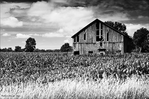
2011 barn clouds cloudy copyright©2011 corn delapidated farm field kswest rustic stevenwest travel portwashington wisconsin usa old rural weathered nikon bw blackwhite kswestphoto
Old Barn, Wisconsin, 2011
wisconsin wi upper lake park portwashington
08-18-2017 Ride Upper Lake Park - Port Washington,WI
lake wisconsin sunrise bench shadows hdr portwashington photomatix 5exp d300s nikonafsdx1755mmf28g
early morning
wisconsin butterfly wi newburg naturecenter riveredge brownbutterfly littlewoodsatyr megistocymela ozaukee riveredgenaturecenter mattdrollinger matthewdrollinger
Little Wood Satyr - Megisto cymela
nature reflection overcast river trees calm still wisconsin midwest microfourthirds olympusomdem1markii olympusmzuikodigitaled1240mmf28pro johnwestrock
Leave It Alone