Elevation of N Green Bay Rd, Grafton, WI, USA
Location: United States > Wisconsin > Ozaukee County > Grafton >
Longitude: -87.946548
Latitude: 43.3326104
Elevation: 233m / 764feet
Barometric Pressure: 99KPa
Elevation Map:
Satellite Map:
Related Photos:

Rose-Breasted Grosbeak
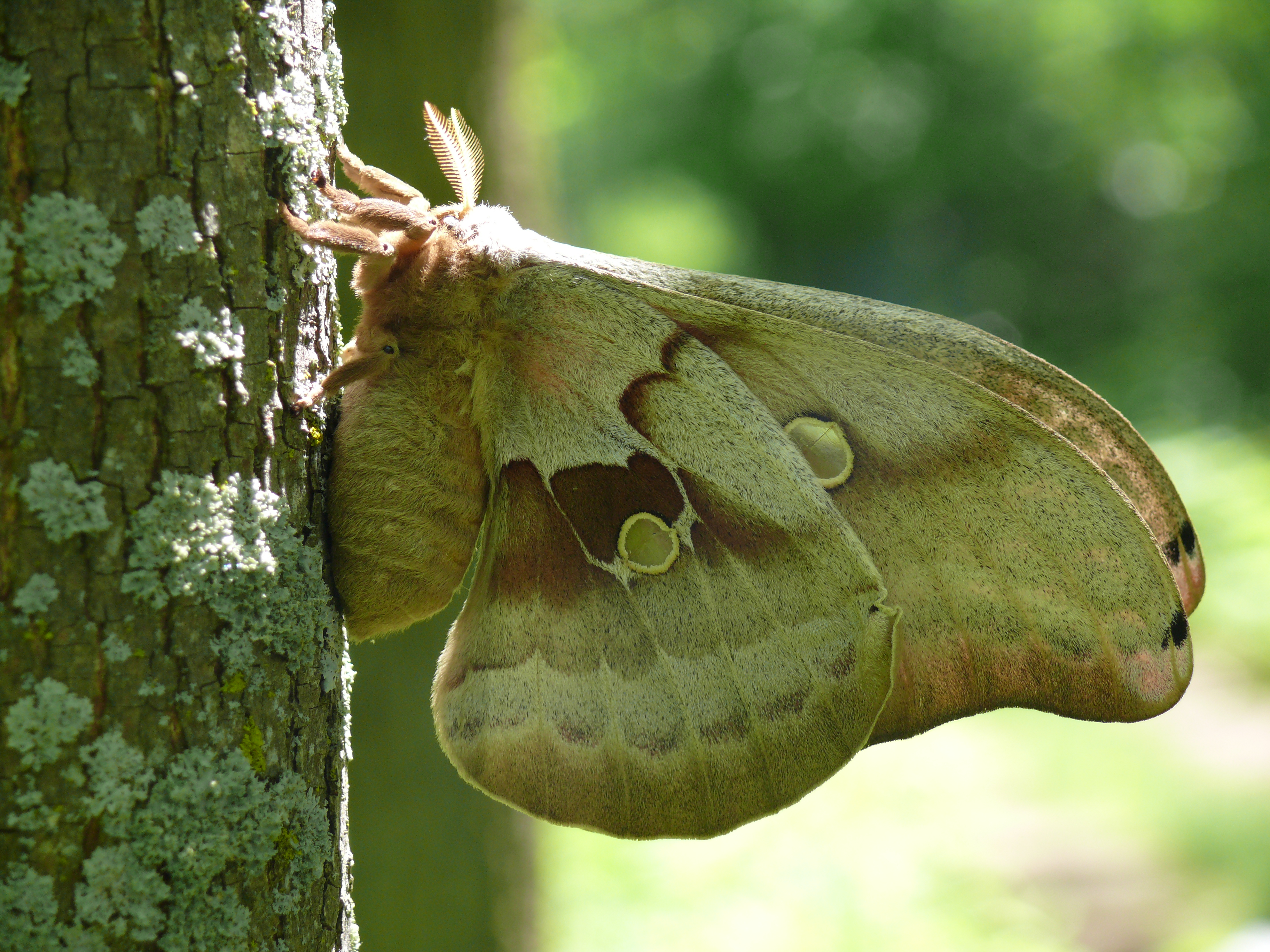
Polyphemus Moth - Another Ventral View
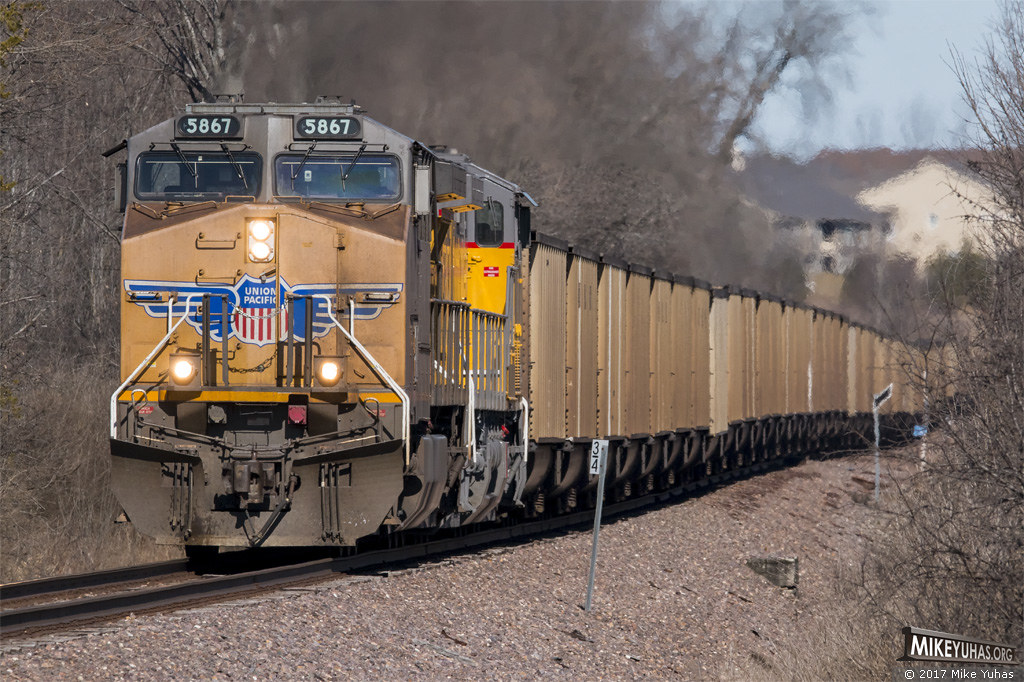
Hopper train
The Rest Is Gravey
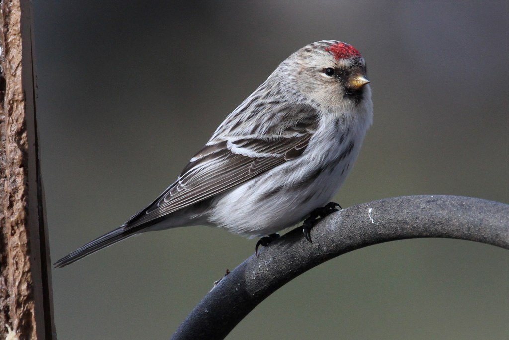
Hoary Redpoll, carduelis hornemanni
2019-047/365 Port Washington Breakwater Light
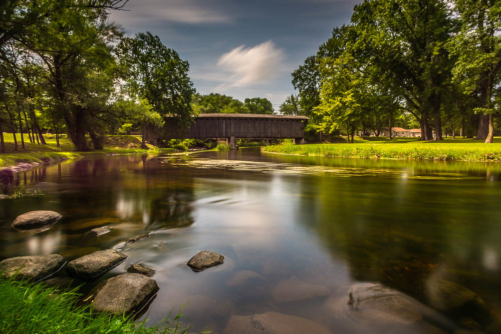
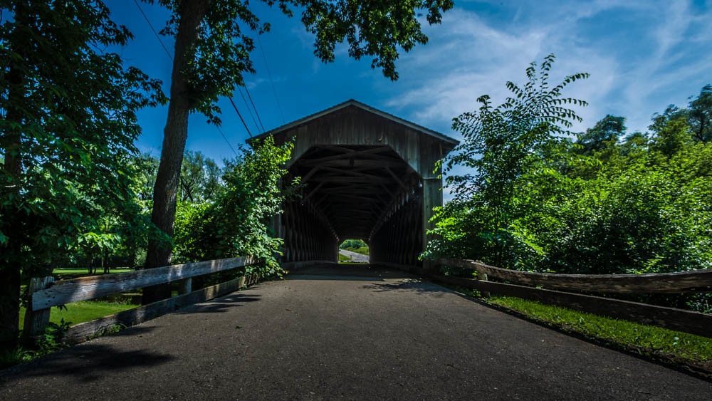
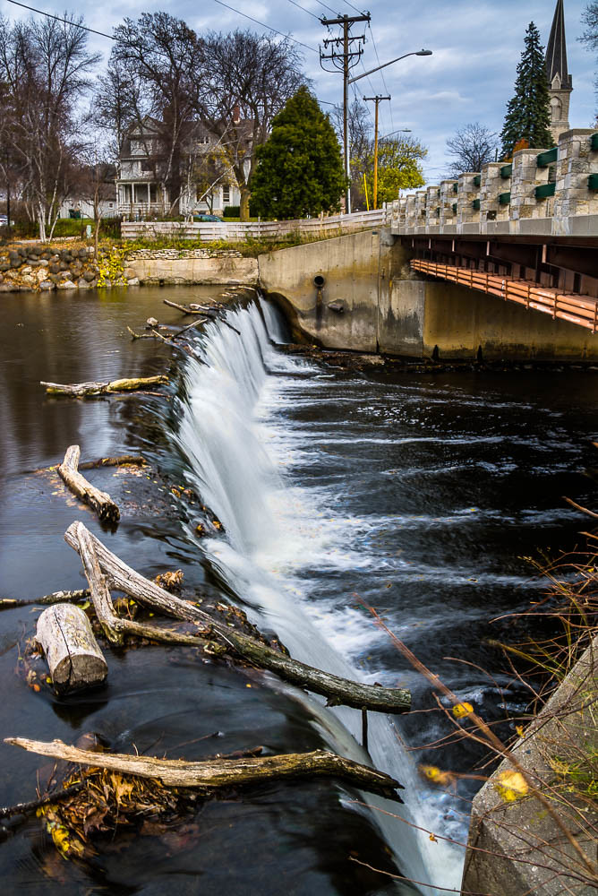
Covered Bridge Long Exposure
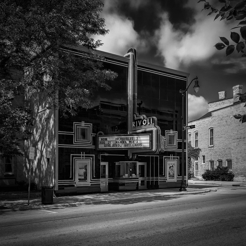
The Art Deco Rivoli Theater

Sunrise in Port
specific gravity

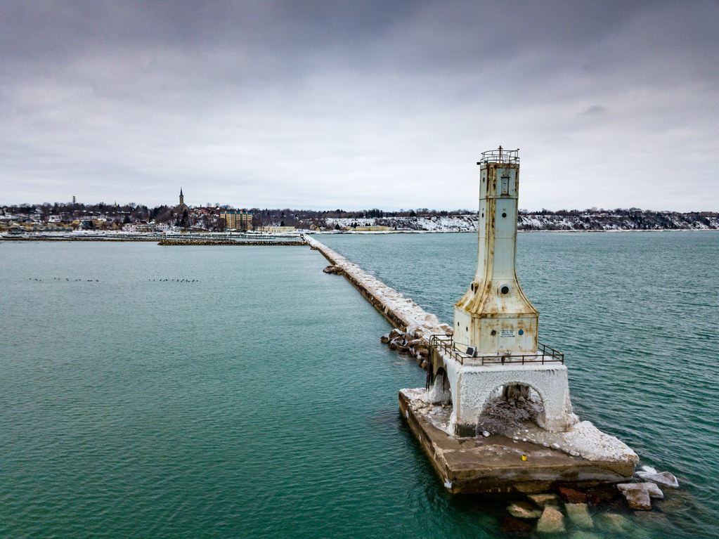
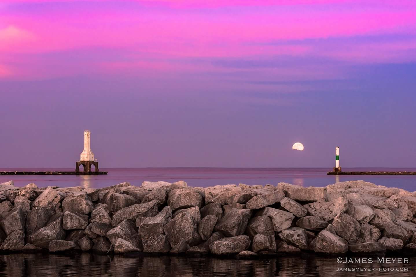
Port Washington Pierhead Light
Through the Old Bridge
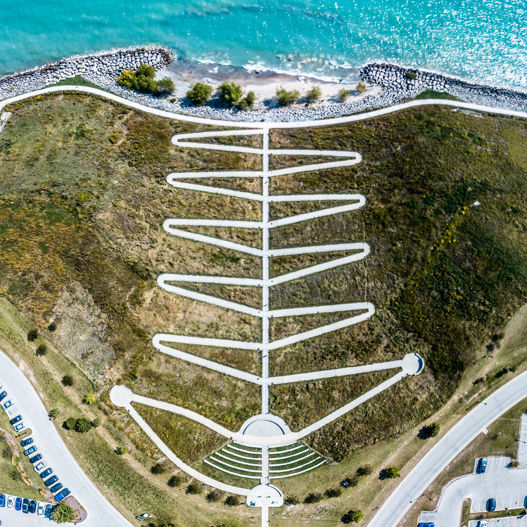
Zig Zag

Dry flower (top view)
View of Lake Michigan from Concordia U.

Texaco Station, Cedarburg, Wisconsin, 1976
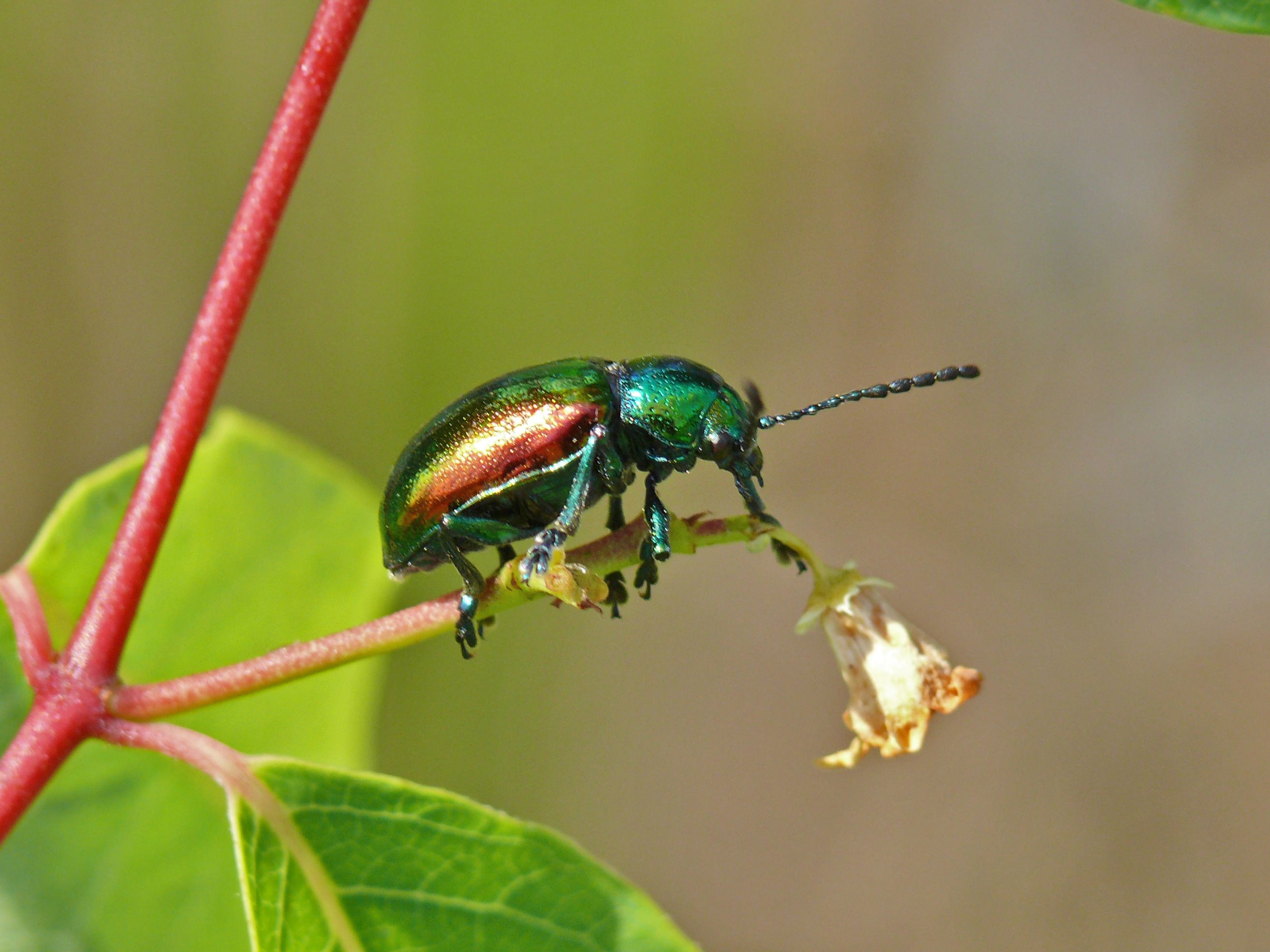
Dogbane Leaf Beetle - Chrysochus auratus

early bloom...
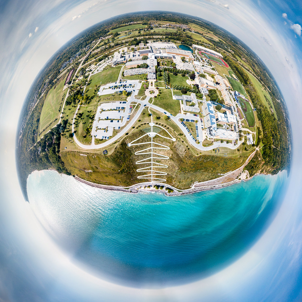
Planet Concordia

Covered Bridge
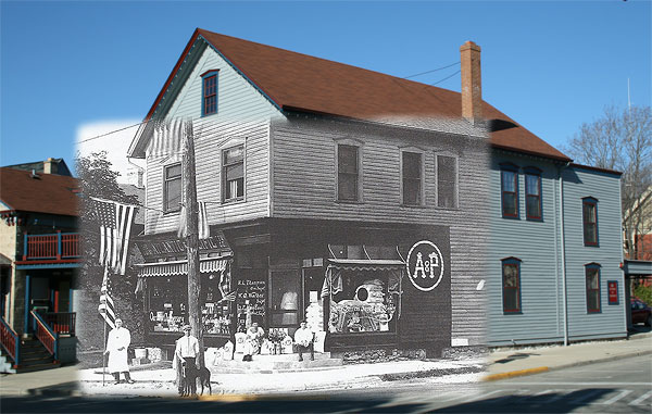
The Great Atlantic and Pacific Tea Co.
Waiting on the Strawberry Moon
Shawn Conrad20140921-.JPG

Sauk Creek
08-18-2017 Ride Upper Lake Park - Port Washington,WI
Broken Clouds
119 Reservoir

Getting close
On a Nicer Day....
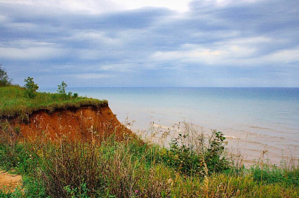
Lion's Den Gorge #kimberlyreneephotography #lionsdengorge #gorge #lakemichigan #beach #lake #wisconsin #weather #cloudyday #greatlakes #shoresoflakemichigan #cliff
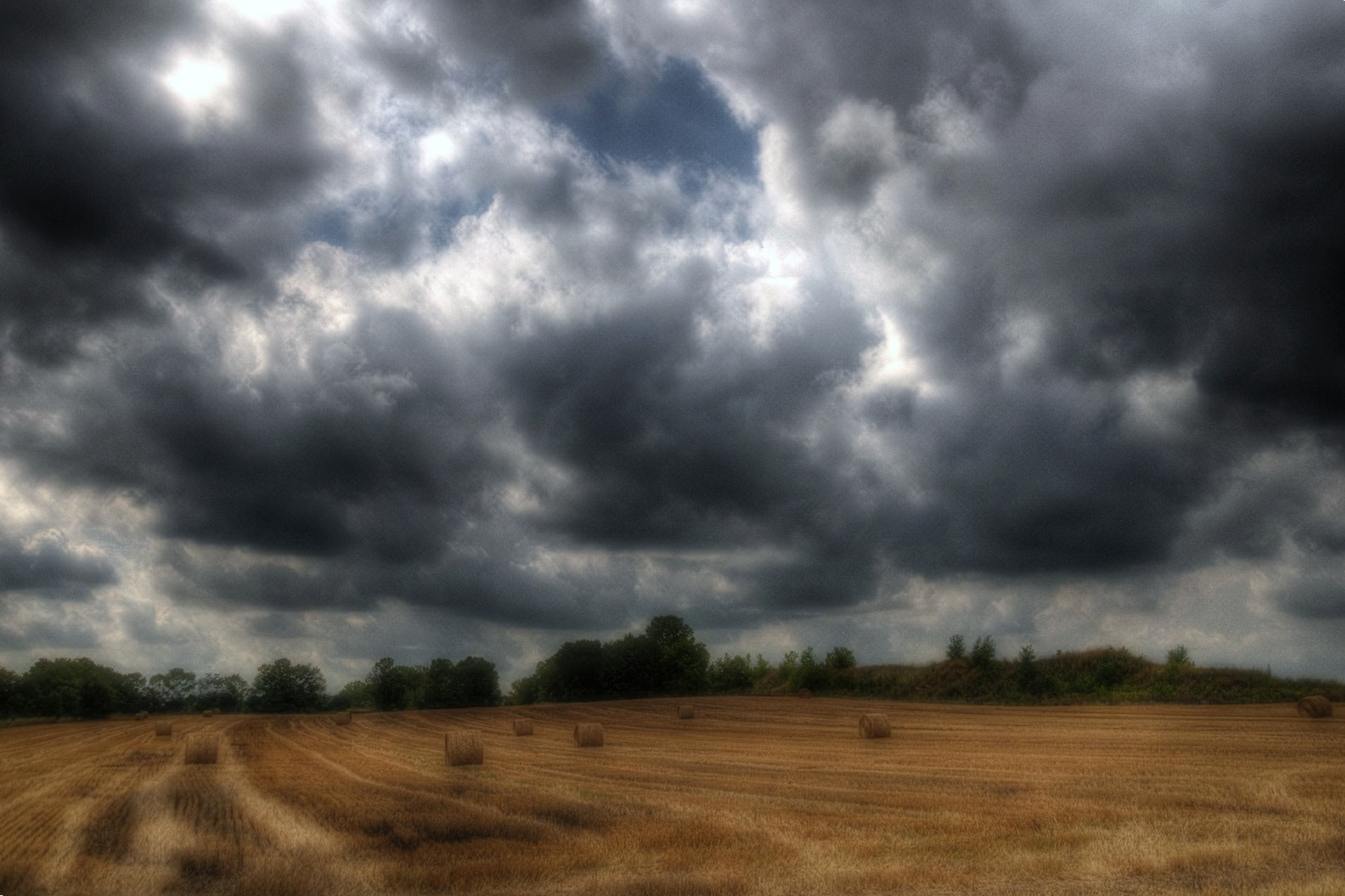
Wisconsin Hay Harvest Prior to Rain
Trees Along Range Line Road, Mequon, WI, USA

Trees Along Range Line Road, Mequon, WI, USA
Cedar Creek Dam
Icy waves of Lake Michigan at Lion's Den Nature Preserve
Round The Bend
Choose Your Own Path
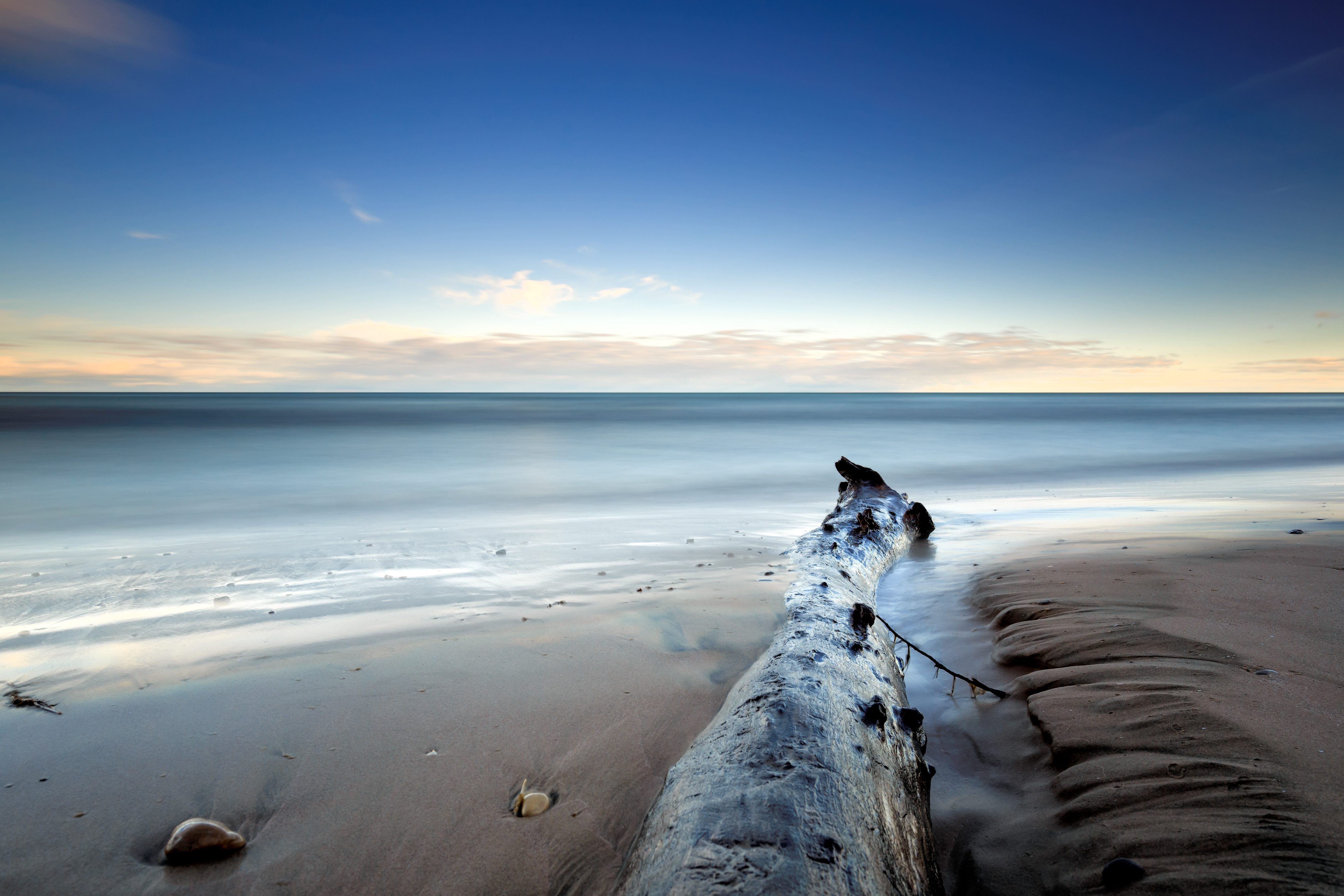
August, Lake Michigan

Fall trail
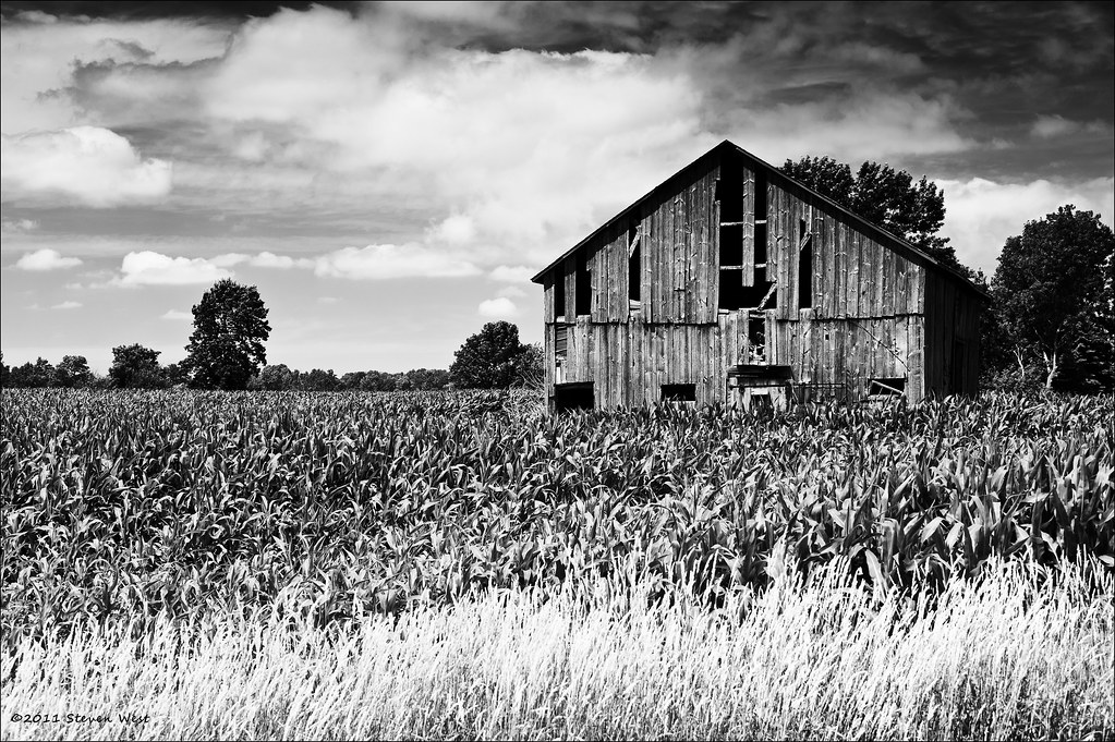
Old Barn, Wisconsin, 2011
early morning
Topographic Map of N Green Bay Rd, Grafton, WI, USA
Find elevation by address:

Places near N Green Bay Rd, Grafton, WI, USA:
Grafton
Washington St, Grafton, WI, USA
2123 Edgewood Dr
Ulao
Ulao Rd, Grafton, WI, USA
1309 Trail Way Dr
Ozaukee County
565 Majesa Hills Ln
Grafton
454 Timbercrest Ct
E Dekora St, Saukville, WI, USA
Saukville
Hamilton Rd, Cedarburg, WI, USA
Cedarburg
W62n579
Trillium Road
2520 W Bonniwell Rd
3033 W Bonniwell Rd
12800 N Lake Shore Dr
Cedarburg
Recent Searches:
- Elevation of Corso Fratelli Cairoli, 35, Macerata MC, Italy
- Elevation of Tallevast Rd, Sarasota, FL, USA
- Elevation of 4th St E, Sonoma, CA, USA
- Elevation of Black Hollow Rd, Pennsdale, PA, USA
- Elevation of Oakland Ave, Williamsport, PA, USA
- Elevation of Pedrógão Grande, Portugal
- Elevation of Klee Dr, Martinsburg, WV, USA
- Elevation of Via Roma, Pieranica CR, Italy
- Elevation of Tavkvetili Mountain, Georgia
- Elevation of Hartfords Bluff Cir, Mt Pleasant, SC, USA