Elevation of Township Highway T-, Township Hwy T-, Union City, OH, USA
Location: United States > Ohio > Darke County > Jackson Township >
Longitude: -84.781814
Latitude: 40.1878243
Elevation: 331m / 1086feet
Barometric Pressure: 97KPa
Elevation Map:
Satellite Map:
Related Photos:
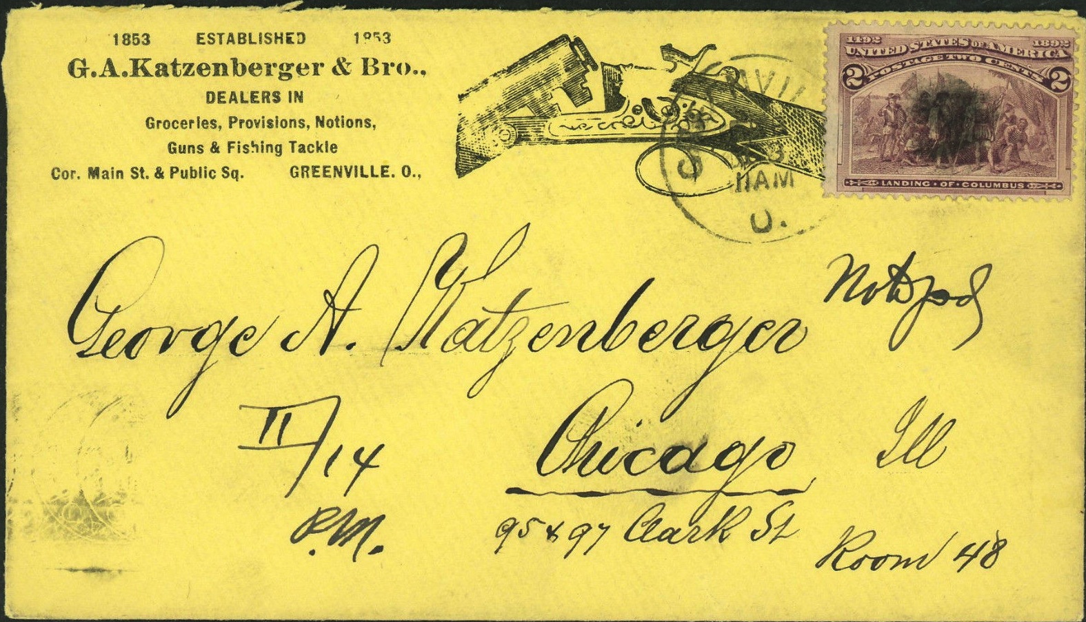
Envelope for Letter to George A. Katzenberger from Greenville to Chicago: 1893
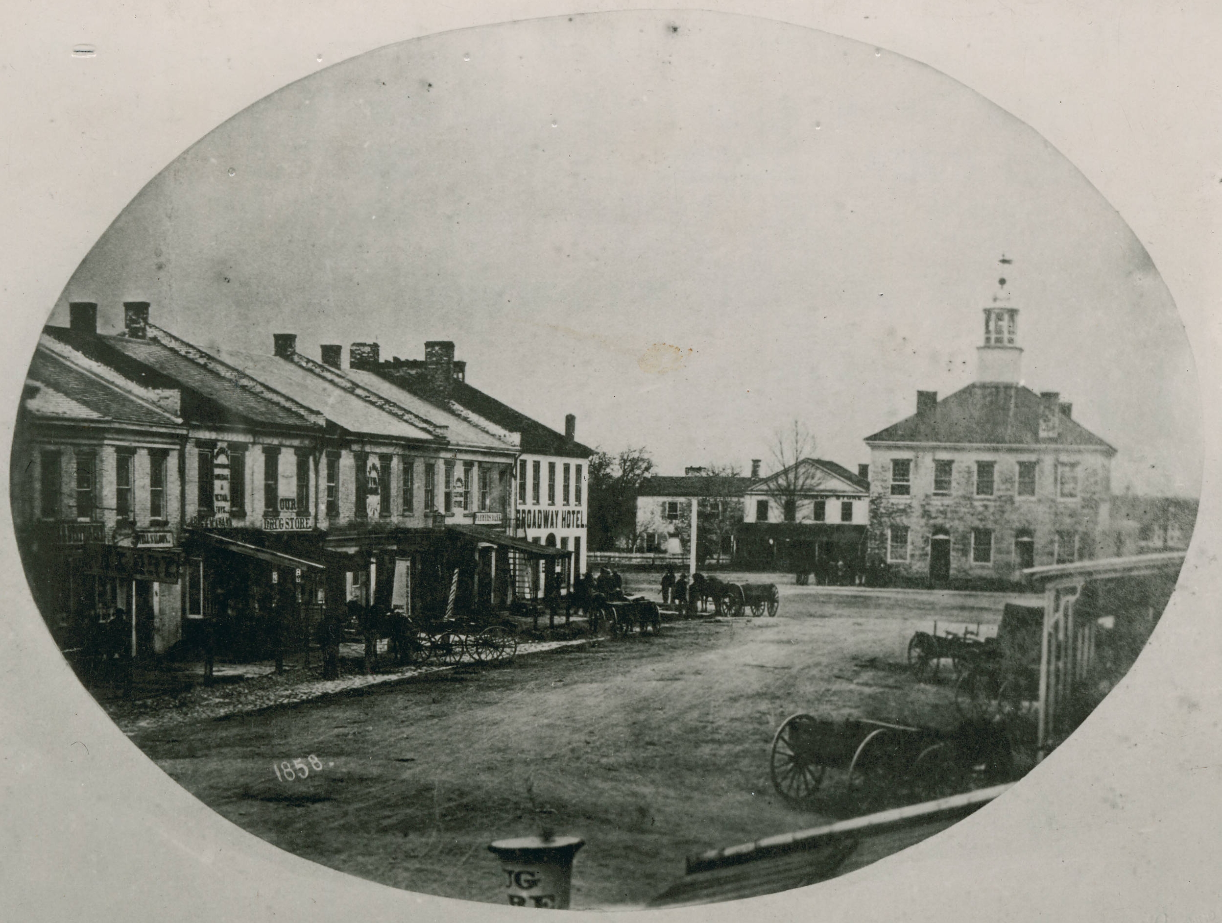
Greenville, Ohio
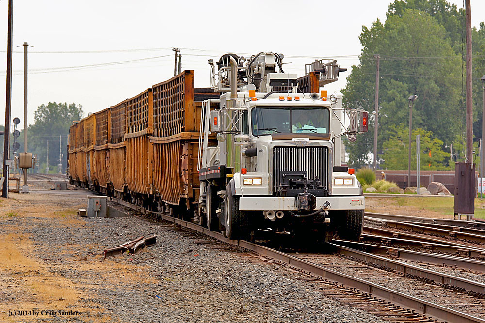
Where's the Locomotive?
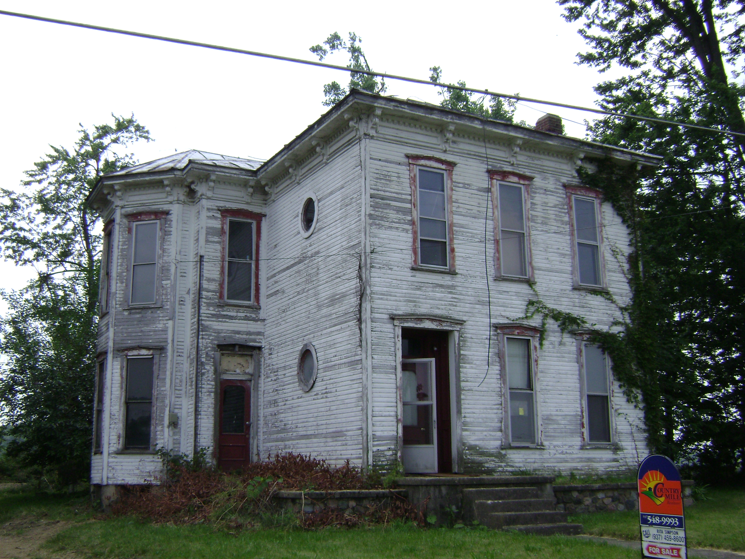
Baker, Ohio
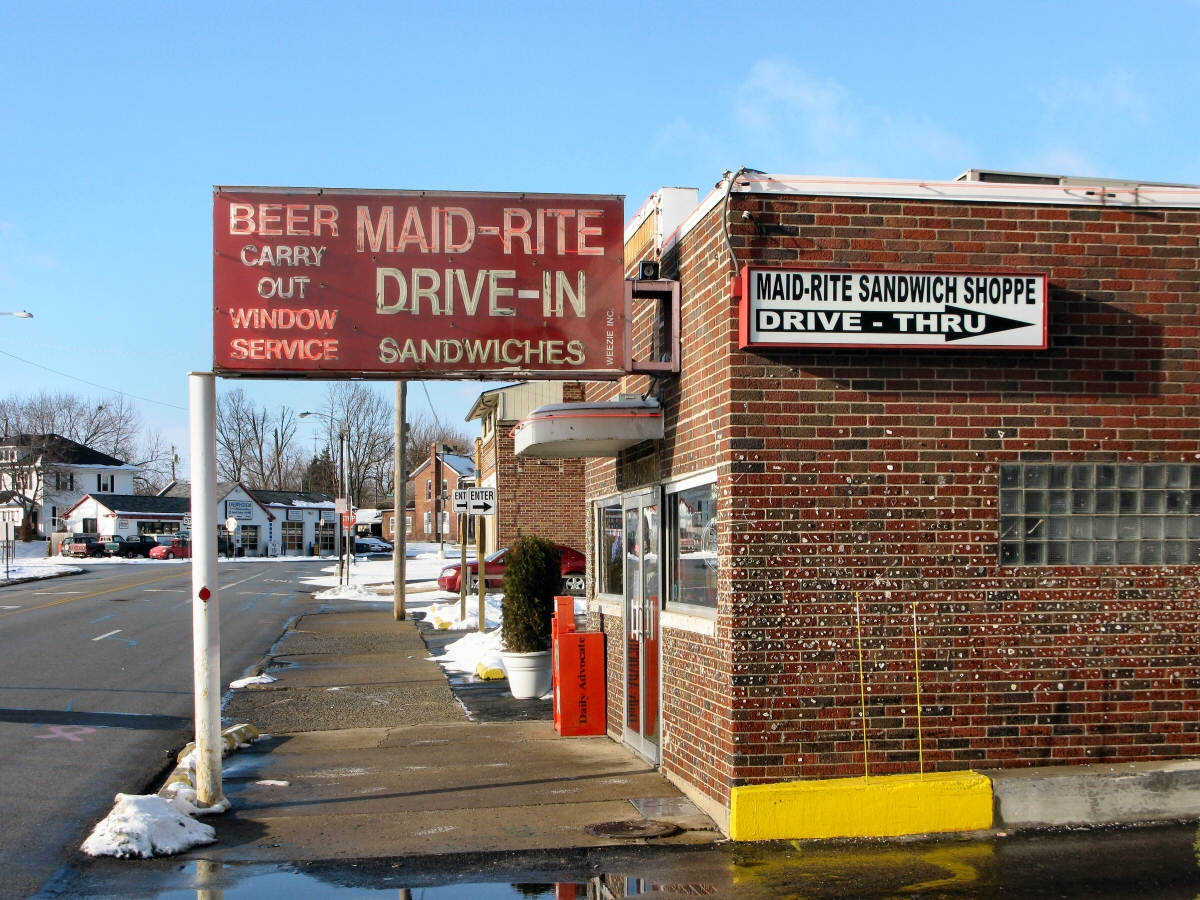
Maid-Rite Streetside

Maid Rite - Greenville, OH - Gum Wall

View in Greenville
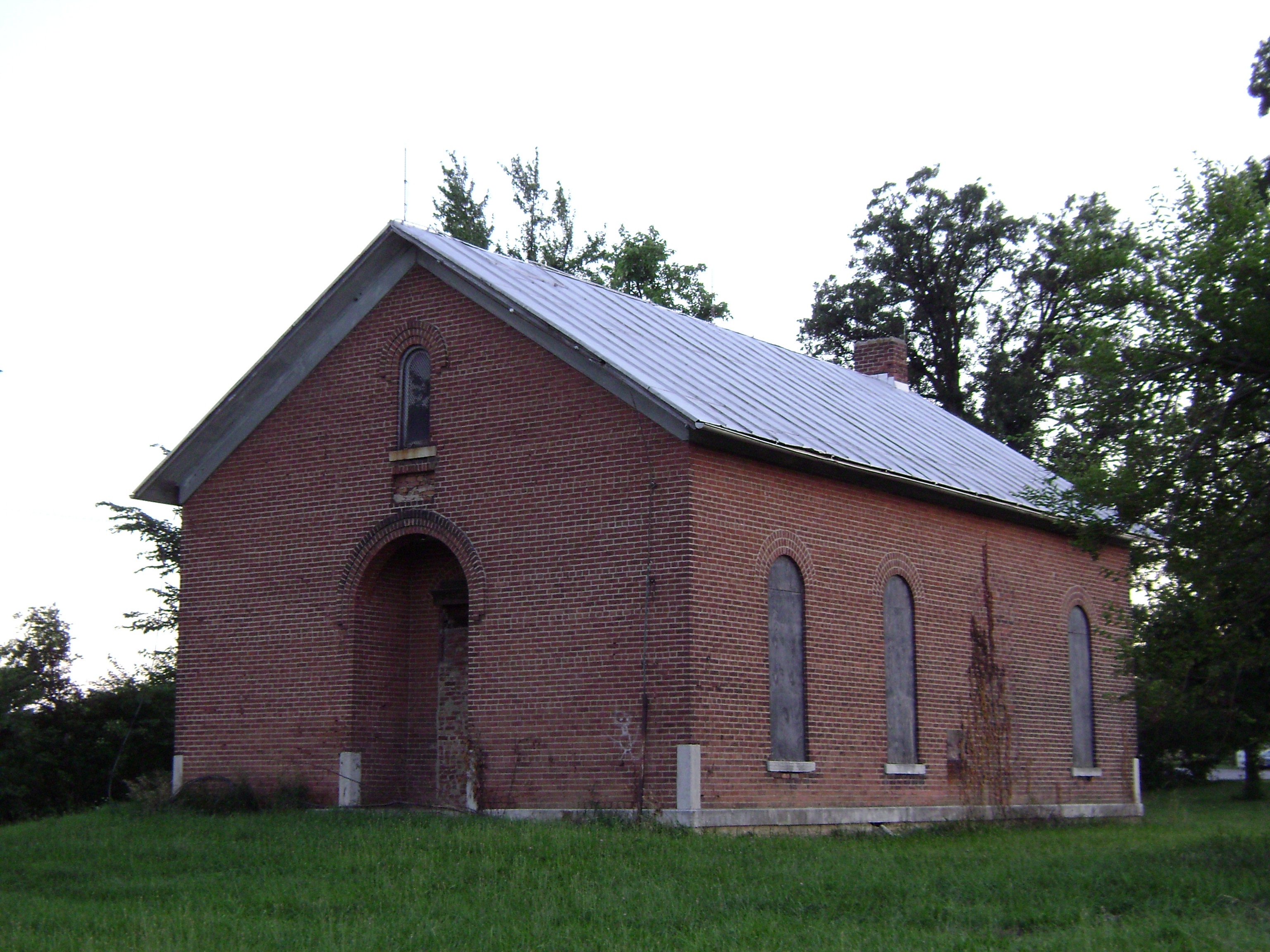
Wakefield, Ohio- Wakefield Schoolhouse

A picture of trees and water.

tractor after plowing

A day filled with fun and swag

Darke County Sunset 3

The open skies

Greenville Creek
Blue Steel took a picture!

Greenville, Ohio

2012-09-01- 028

2012-09-01- 015
Topographic Map of Township Highway T-, Township Hwy T-, Union City, OH, USA
Find elevation by address:

Places near Township Highway T-, Township Hwy T-, Union City, OH, USA:
9351 Ohio-indiana State Line Rd
Union City
Union City
Jackson Township
Wayne Township
Fisher-Dangler Rd, Greenville, OH, USA
Washington Township
8113 Kniseley Rd
Jackson Township
OH-, Greenville, OH, USA
N E, Union City, IN, USA
E Greenville Pike, Union City, IN, USA
Brown Township
Darke County
US-36, Greenville, OH, USA
Palestine
Liberty Township
Liberty Township
Liberty Township
Liberty Township
Recent Searches:
- Elevation of Corso Fratelli Cairoli, 35, Macerata MC, Italy
- Elevation of Tallevast Rd, Sarasota, FL, USA
- Elevation of 4th St E, Sonoma, CA, USA
- Elevation of Black Hollow Rd, Pennsdale, PA, USA
- Elevation of Oakland Ave, Williamsport, PA, USA
- Elevation of Pedrógão Grande, Portugal
- Elevation of Klee Dr, Martinsburg, WV, USA
- Elevation of Via Roma, Pieranica CR, Italy
- Elevation of Tavkvetili Mountain, Georgia
- Elevation of Hartfords Bluff Cir, Mt Pleasant, SC, USA