Elevation of Kniseley Rd, Greenville, OH, USA
Location: United States > Ohio > Darke County > Washington Township >
Longitude: -84.715117
Latitude: 40.155314
Elevation: 331m / 1086feet
Barometric Pressure: 97KPa
Elevation Map:
Satellite Map:
Related Photos:

Still Protecting the Now Gone Switch

Baker, Ohio

Shadows to Light
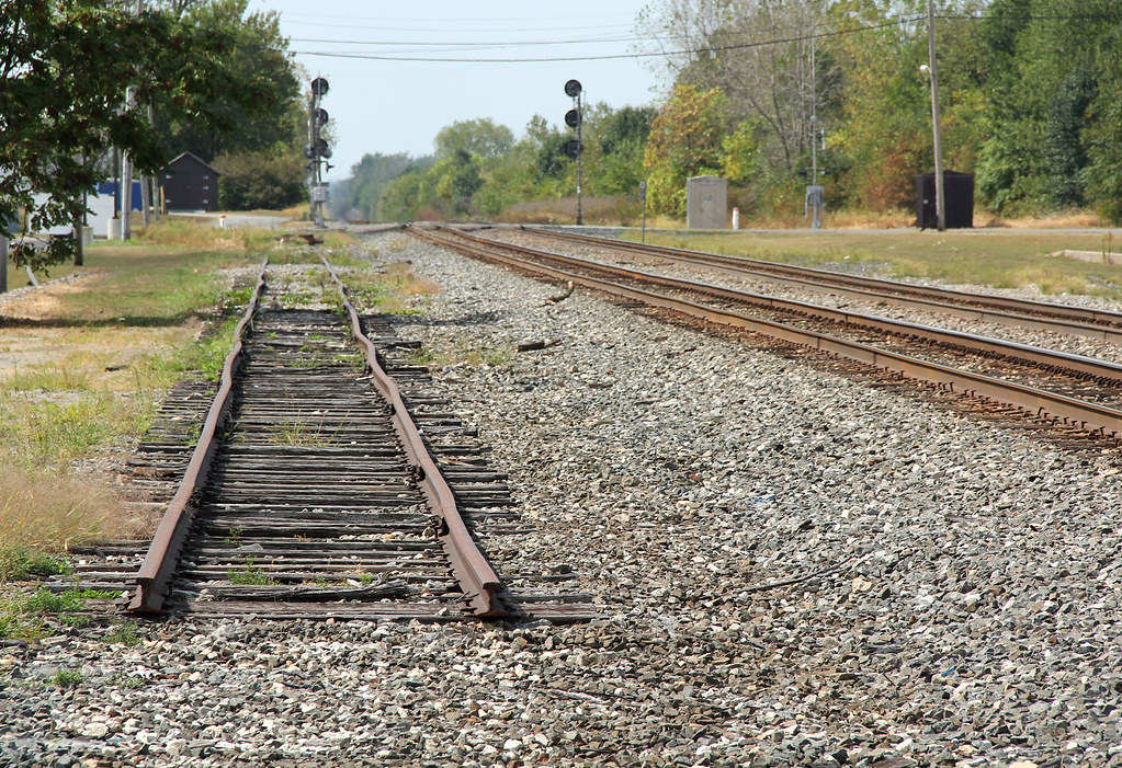
Siding to Nowhere

Late Saturday Afternoon

Envelope for Letter to George A. Katzenberger from Greenville to Chicago: 1893

Maid-Rite Streetside

Where's the Locomotive?

Greenville, Ohio

Maid Rite - Greenville, OH - Gum Wall

Wakefield, Ohio- Wakefield Schoolhouse

View in Greenville

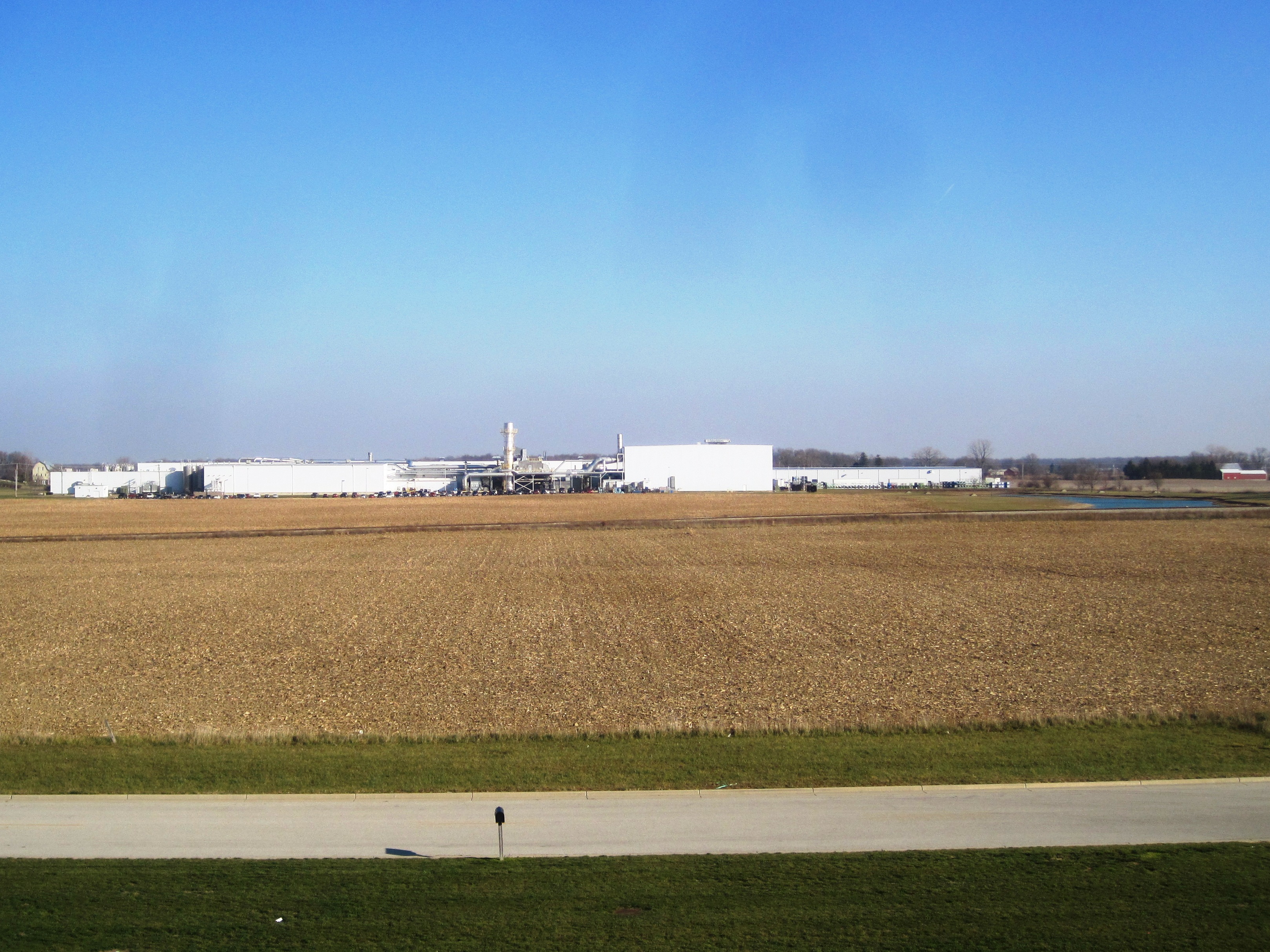
Greenville-Former Corning Glass Facility (CORF & COAF)

Neat-o colorful scenery ???????? #park #fall #october

Ohio, Darke County, Millrace at Bear's Mill

Darke County Fairgrounds Sunset 1

Darke County Sunset 3

tractor after plowing

Greenville Creek

Evening on the Greenville Creek

The open skies

Greenville, Ohio
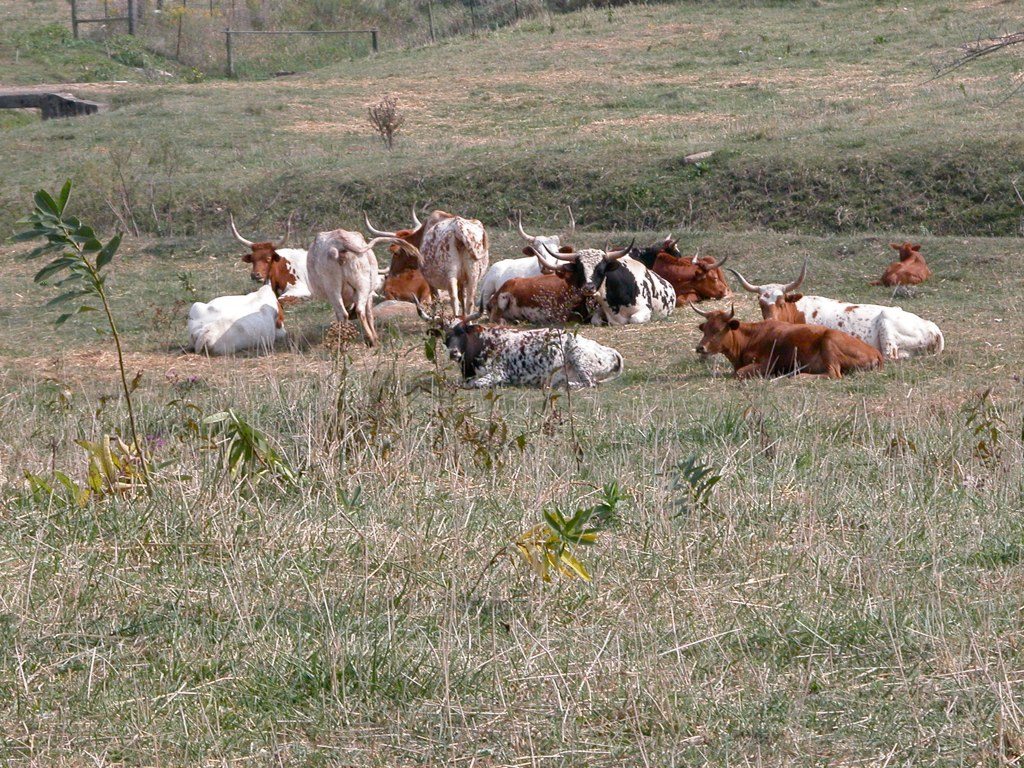
Midwest Longhorns
Greenville, OH
USA Photos

Mill Dam @ Bear Mill

Bear Mill

USA Photos

A picture of trees and water.

USA Photos

USA Photos

X-treme on tha green

GC2B6AM - Geocaching
Topographic Map of Kniseley Rd, Greenville, OH, USA
Find elevation by address:

Places near Kniseley Rd, Greenville, OH, USA:
Fisher-Dangler Rd, Greenville, OH, USA
Washington Township
Darke County
OH-, Greenville, OH, USA
Jackson Township
Brown Township
Township Highway T-1092
4489 Childrens Home-bradford Rd
9373 Oh-118
Greenville Township
9351 Ohio-indiana State Line Rd
Greenville
Union City
Union City
Palestine
5484 Oh-49
Liberty Township
Liberty Township
Liberty Township
Liberty Township
Recent Searches:
- Elevation of Corso Fratelli Cairoli, 35, Macerata MC, Italy
- Elevation of Tallevast Rd, Sarasota, FL, USA
- Elevation of 4th St E, Sonoma, CA, USA
- Elevation of Black Hollow Rd, Pennsdale, PA, USA
- Elevation of Oakland Ave, Williamsport, PA, USA
- Elevation of Pedrógão Grande, Portugal
- Elevation of Klee Dr, Martinsburg, WV, USA
- Elevation of Via Roma, Pieranica CR, Italy
- Elevation of Tavkvetili Mountain, Georgia
- Elevation of Hartfords Bluff Cir, Mt Pleasant, SC, USA