Elevation of Town House Rd, Whitefield, ME, USA
Location: United States > Maine > Lincoln County > Whitefield >
Longitude: -69.634474
Latitude: 44.1935819
Elevation: 51m / 167feet
Barometric Pressure: 101KPa
Elevation Map:
Satellite Map:
Related Photos:

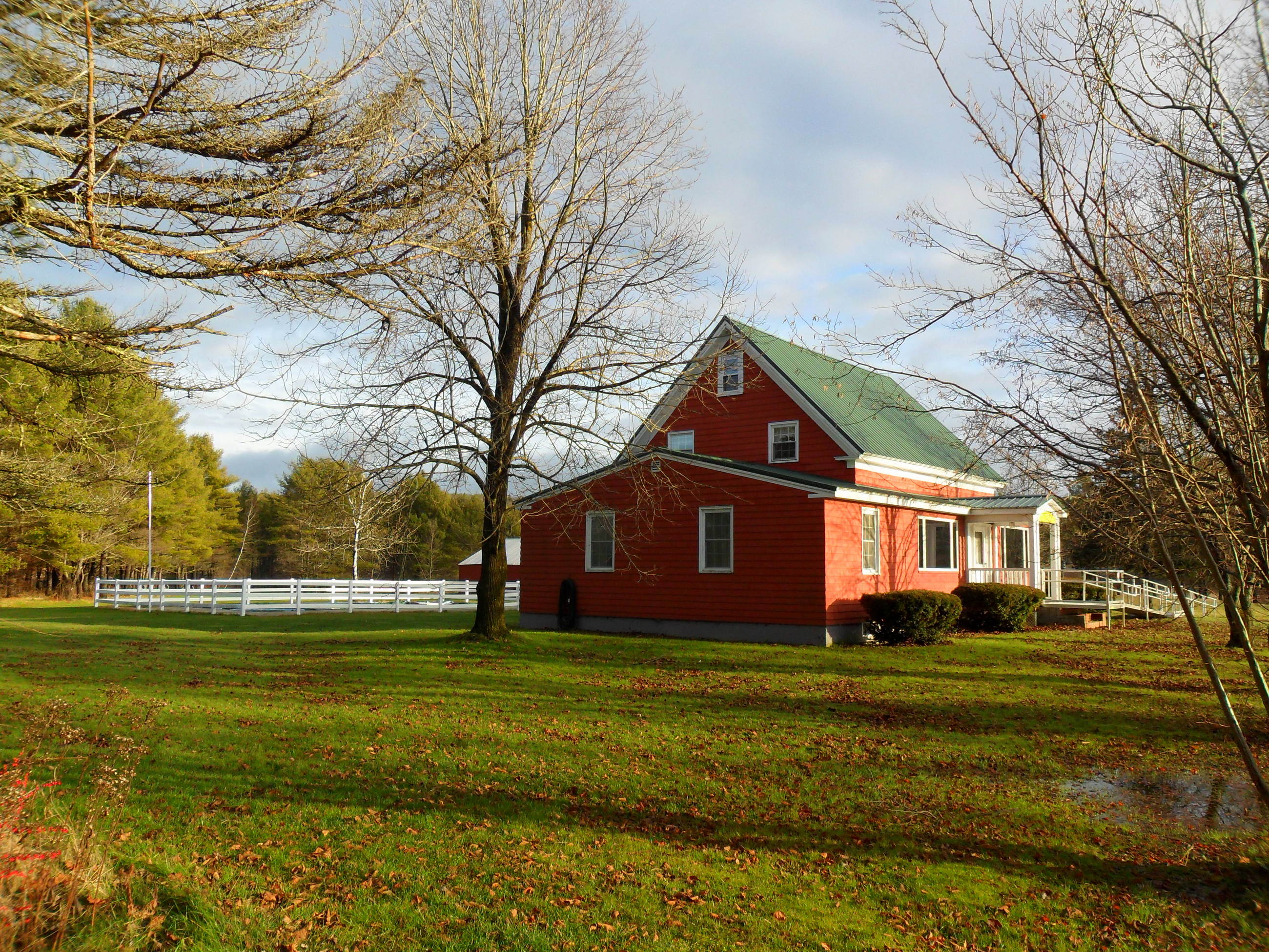
Opposite view.

Fixer-Upper

Mum's Chicken Purse

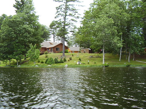
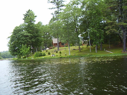
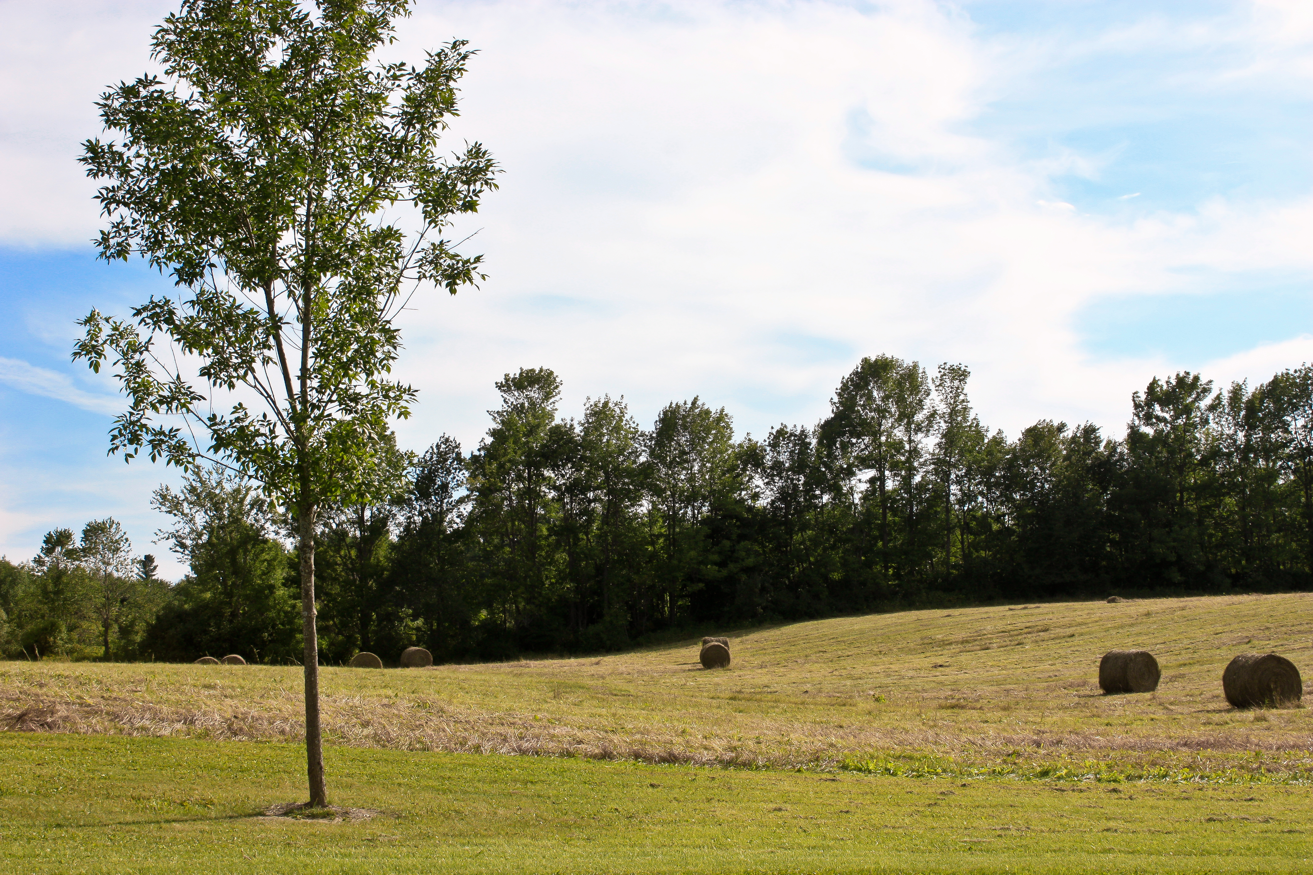
View Of The Lake

no early bird

Riverfront View
19-side view
map view
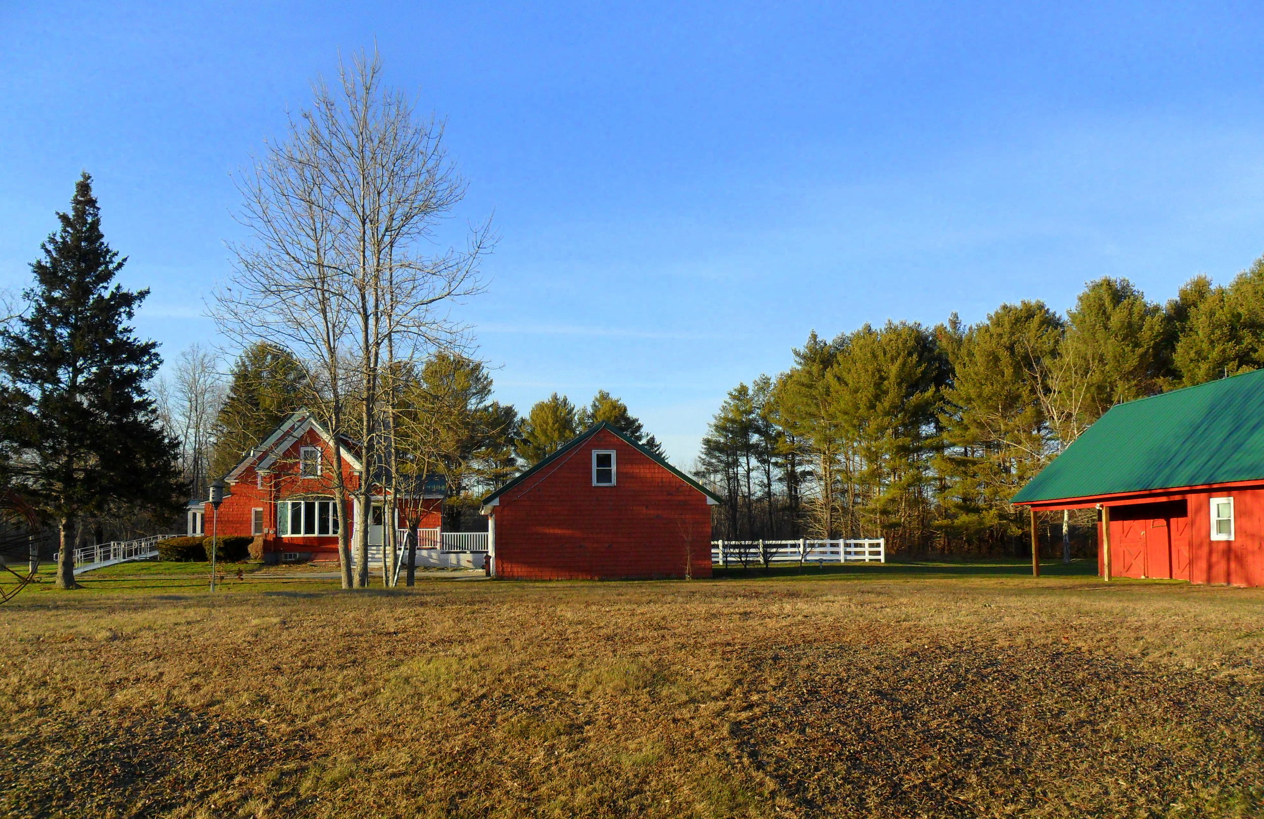
1-side view

What now..?

Coming Thru

View From Above
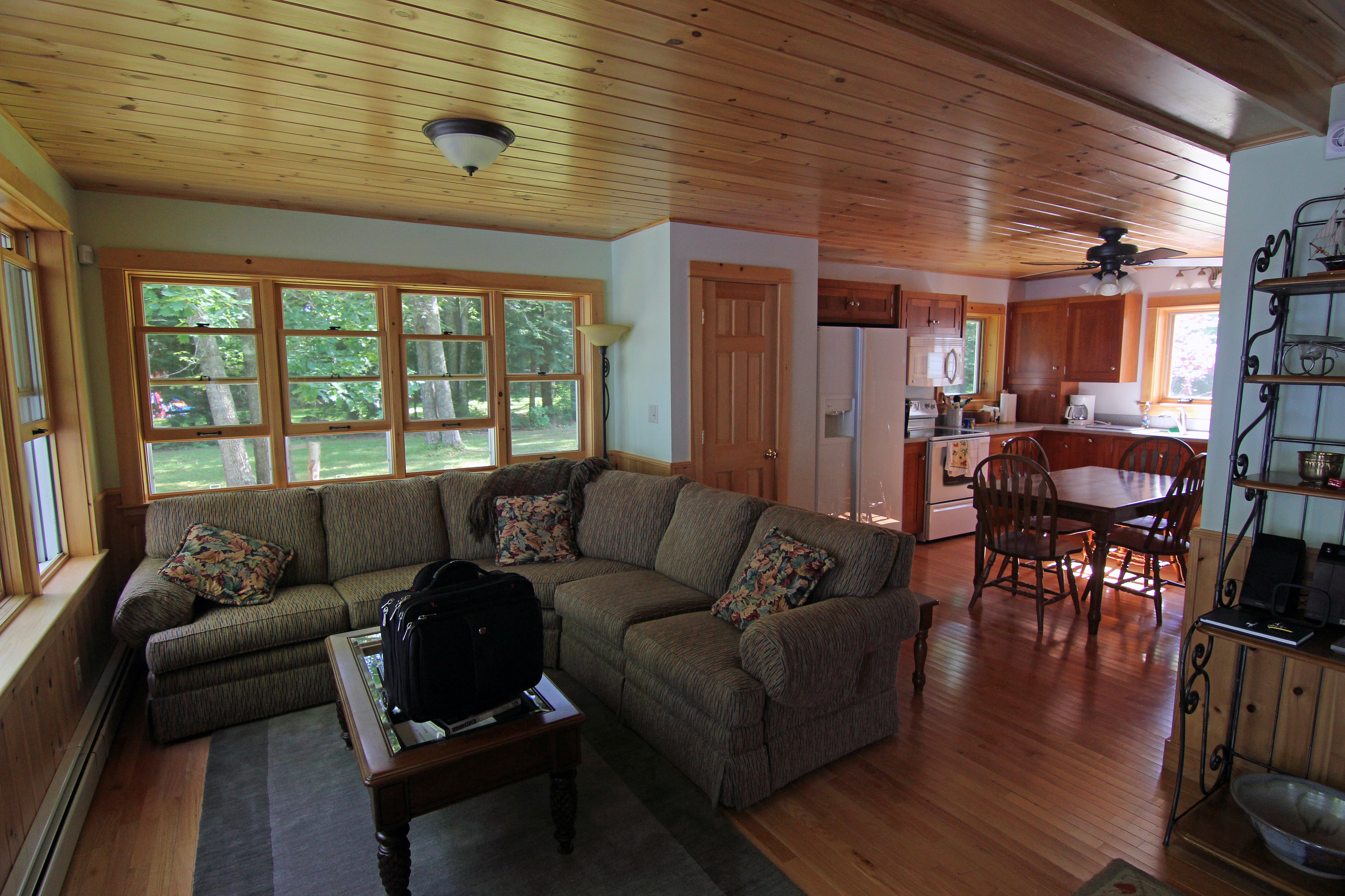
Log Cabin (corner view)
Log Cabin (side view)

Side View
Cottage on the lake
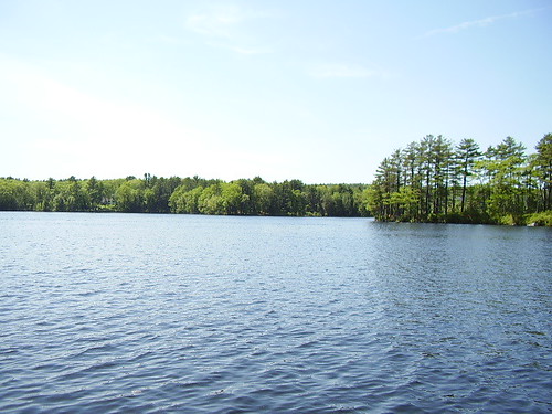
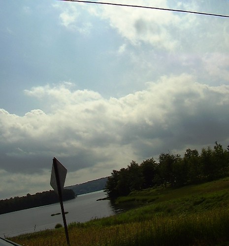
Damariscotta Lake
Vaughan Woods

#lookingup at today's beautiful sky!!

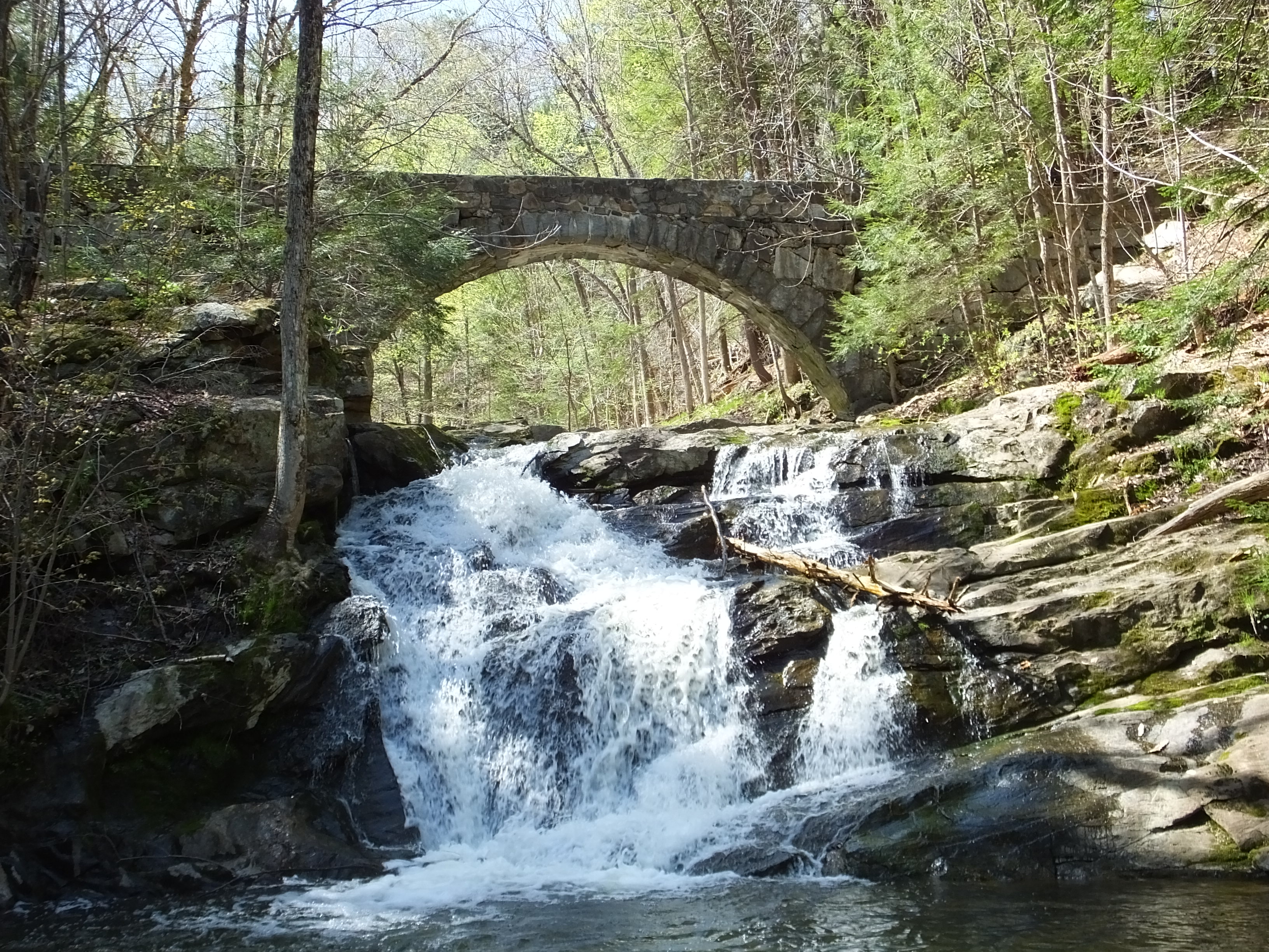
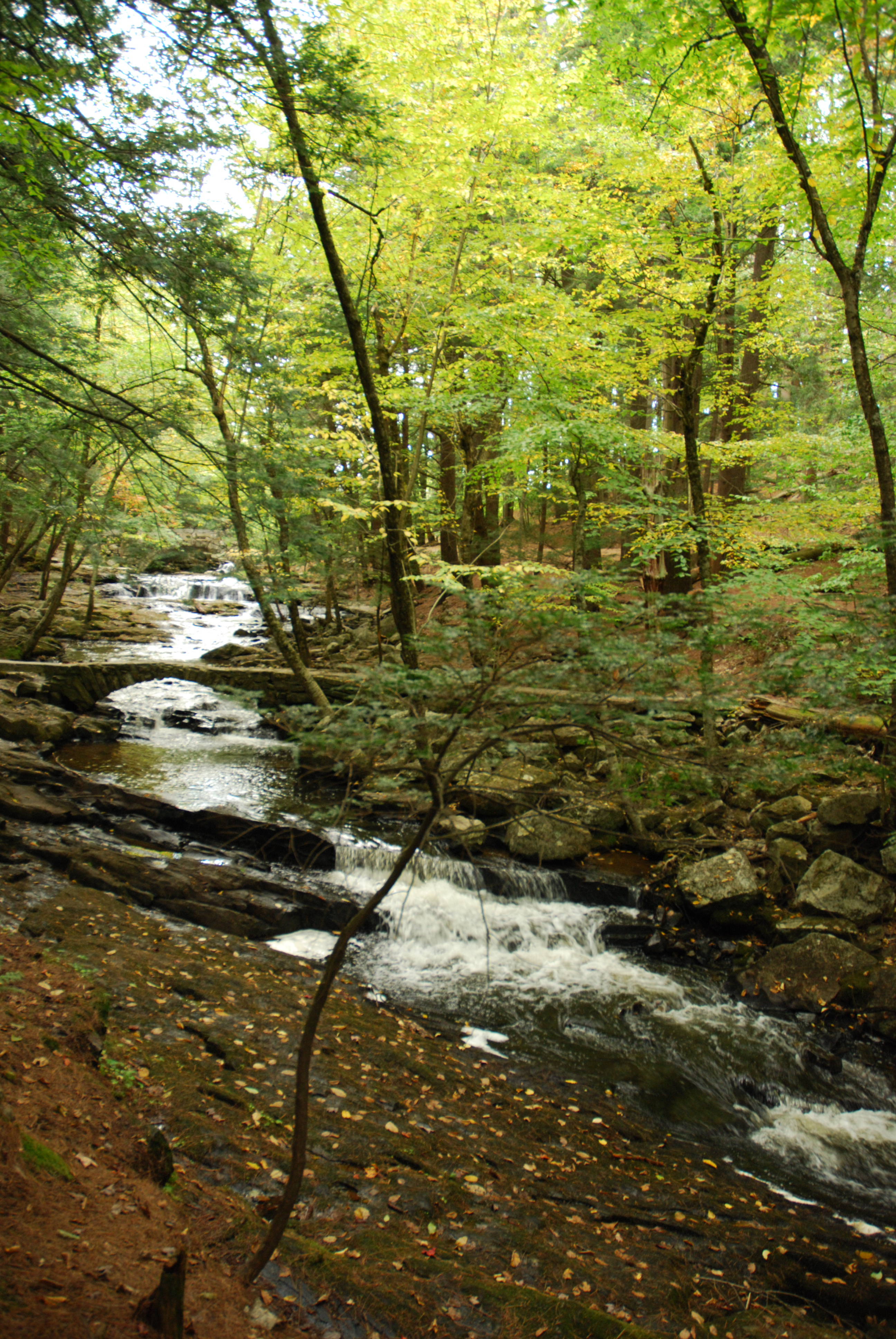
The Hobbit bridge over the waterfall

Hobbitland Spring 2010-7159
The stream

Sunset Over Dam
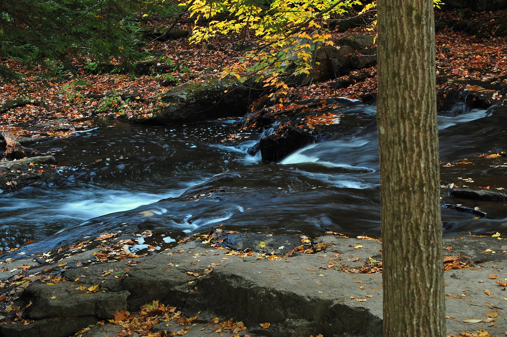
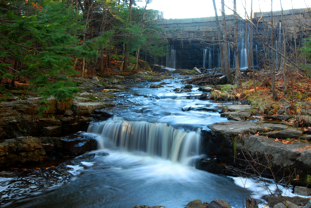
Hobbitland Waterfall

House Wren

The Hobbit bridge over the waterfall

Watery Glade
Salt Bay again

Hobbitland Spring 2010-7165
Vaughn Woods
Went for a walk today

Kennebec River

Vaughn Woods
Fall is coming
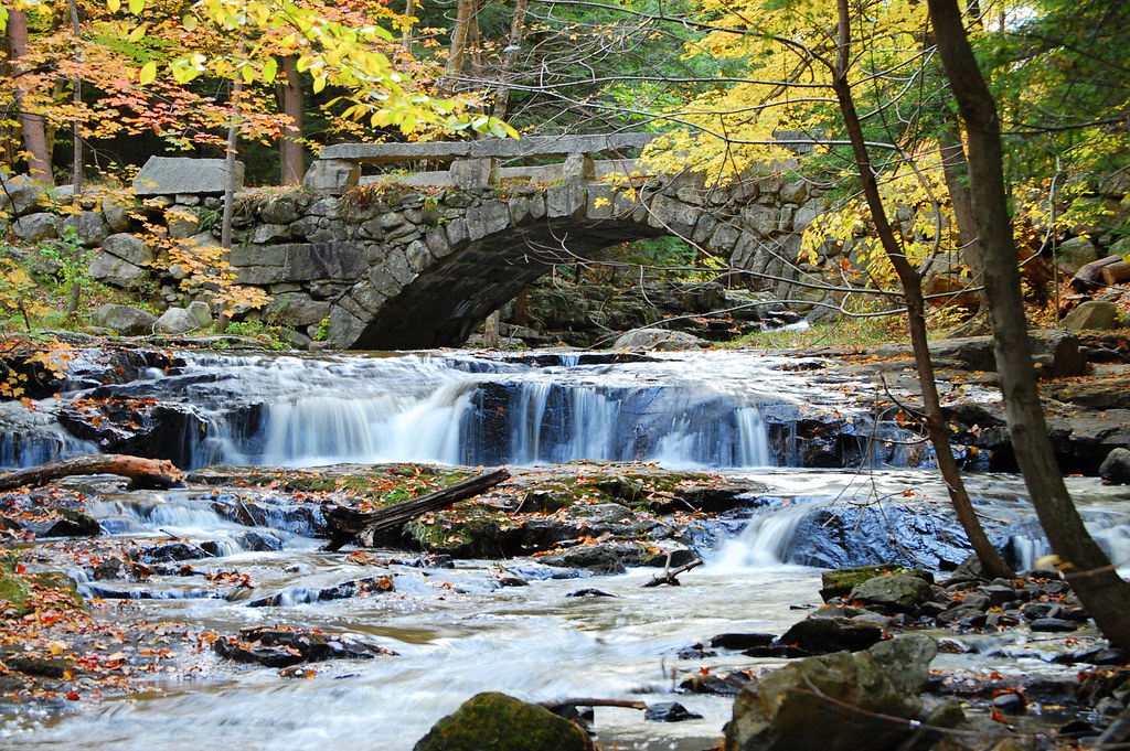
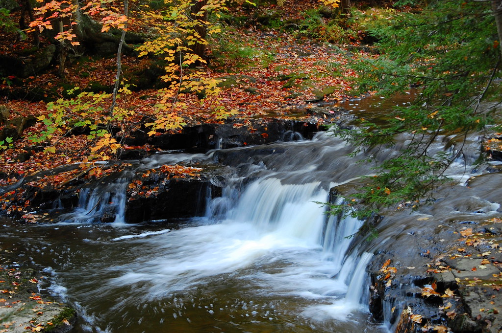
The Hobbit bridge over the waterfall
On the drive home

On shore across from Big DIpper Island

Vaughn Woods
Topographic Map of Town House Rd, Whitefield, ME, USA
Find elevation by address:

Places near Town House Rd, Whitefield, ME, USA:
632 Town House Rd
632 Town House Rd
350 Town House Rd
Whitefield
Miller's Garage
208 Palmer Rd
1213 Eastern Ave
Togus Rd, Chelsea, ME, USA
Chelsea
Wiscasset Rd, Pittston, ME, USA
South Gardiner
Pittston
Riverview Dr, Gardiner, ME, USA
183 Cedar Grove Rd
Gardiner
Water St, Gardiner, ME, USA
Farmingdale
7 Bowman St, Farmingdale, ME, USA
29 Bowman St
28 Sheldon St
Recent Searches:
- Elevation of Corso Fratelli Cairoli, 35, Macerata MC, Italy
- Elevation of Tallevast Rd, Sarasota, FL, USA
- Elevation of 4th St E, Sonoma, CA, USA
- Elevation of Black Hollow Rd, Pennsdale, PA, USA
- Elevation of Oakland Ave, Williamsport, PA, USA
- Elevation of Pedrógão Grande, Portugal
- Elevation of Klee Dr, Martinsburg, WV, USA
- Elevation of Via Roma, Pieranica CR, Italy
- Elevation of Tavkvetili Mountain, Georgia
- Elevation of Hartfords Bluff Cir, Mt Pleasant, SC, USA