Elevation of Town Hill Rd, Wolcott, VT, USA
Location: United States > Vermont > Lamoille County > Wolcott >
Longitude: -72.434731
Latitude: 44.605984
Elevation: 360m / 1181feet
Barometric Pressure: 97KPa
Elevation Map:
Satellite Map:
Related Photos:
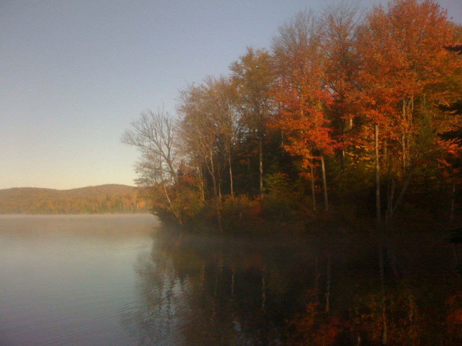
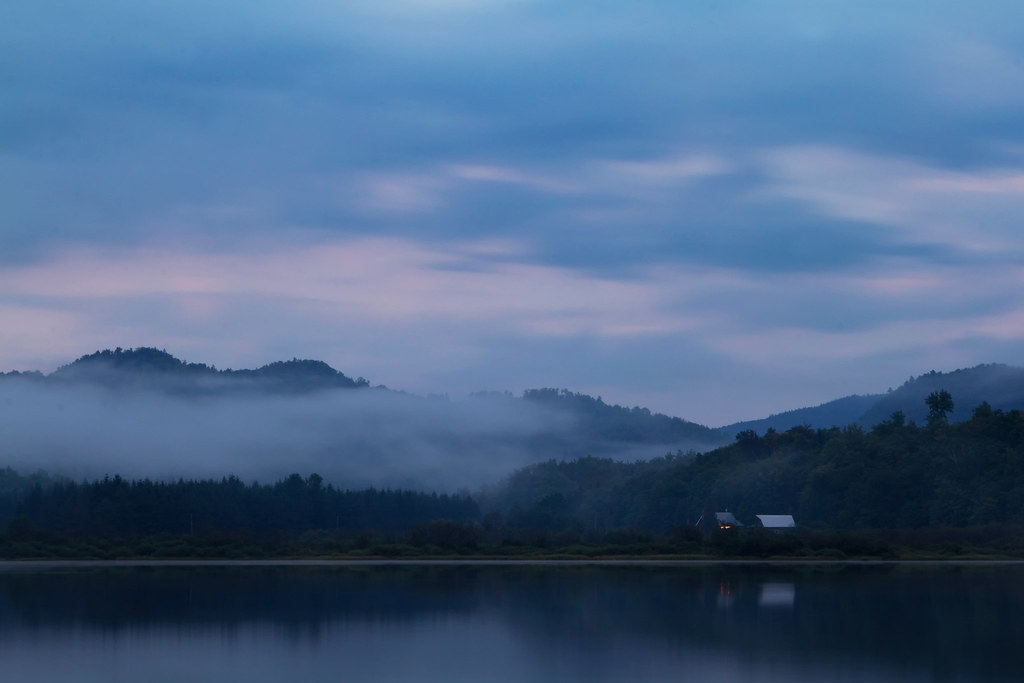
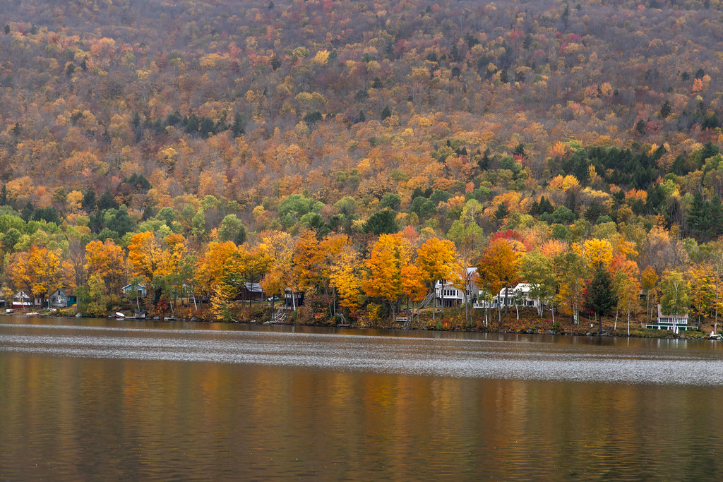
Early AM view at Green River Rez
Honeymoon suite

IMG_1350.CR2
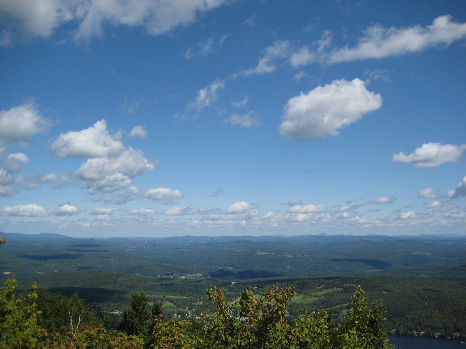
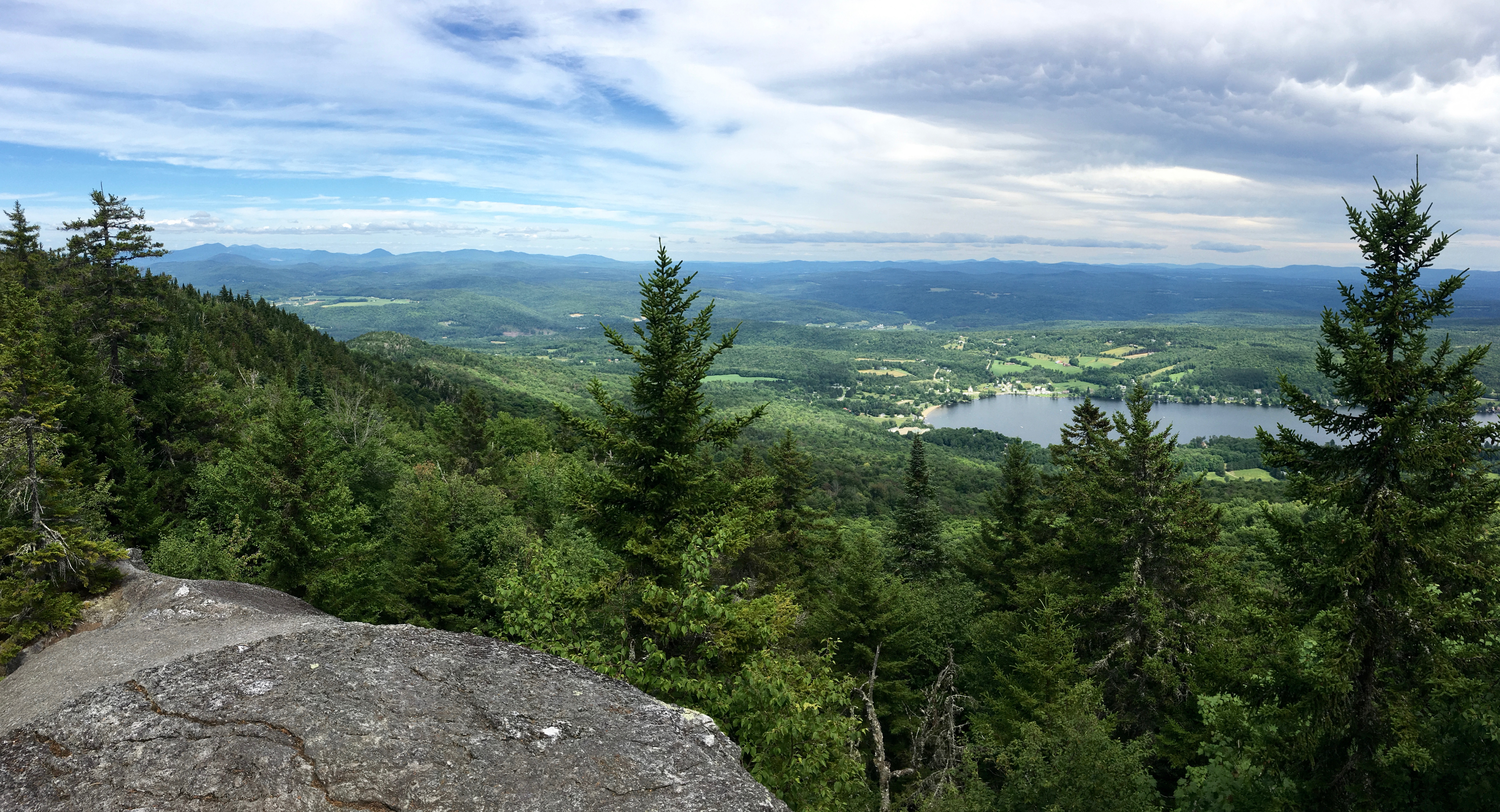
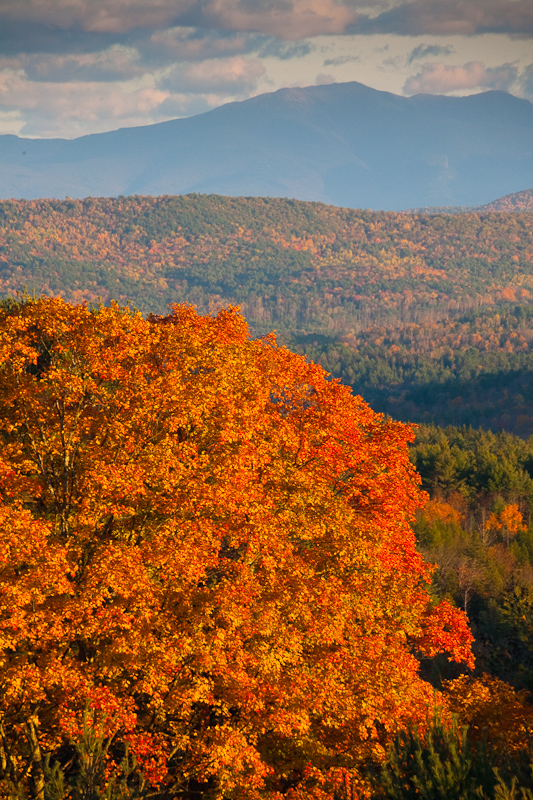
View of Lamoille Valley from trail lookout at Mt Elmore at Elmore State Park, VT
IMG_1343.CR2

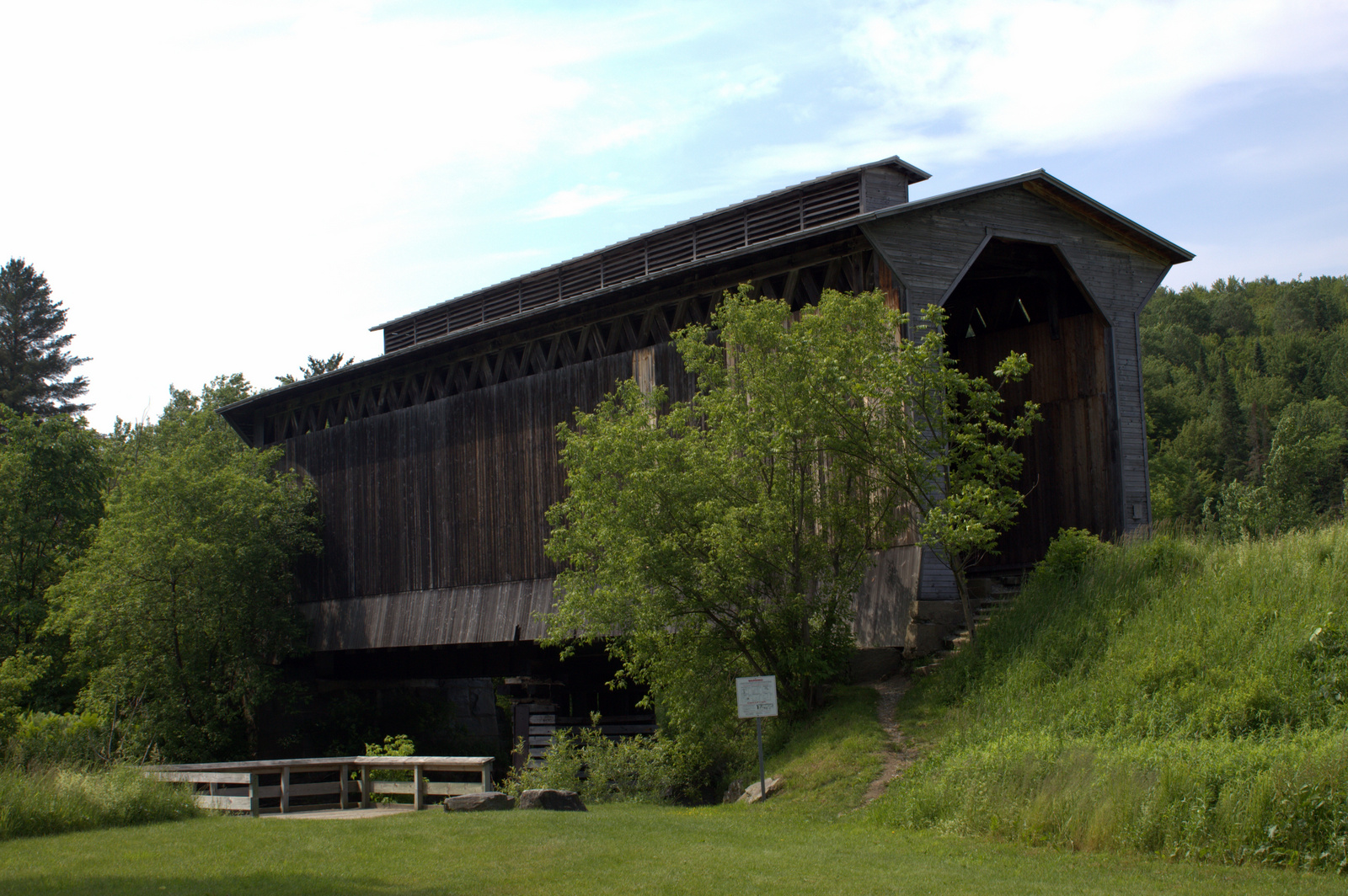
Webster Barn
IMG_0277-2

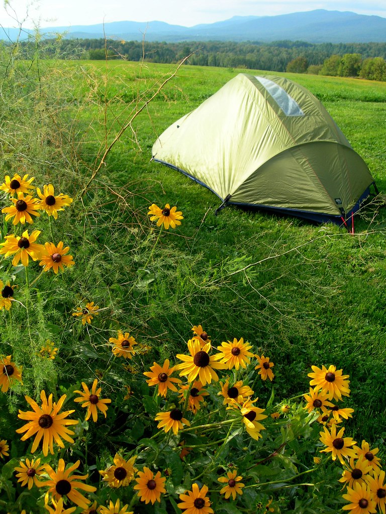
Had a great time of fellowship with the Powell family while at Mountain View Campground in Vermont
View of the new cave site
View from Gardens_1428
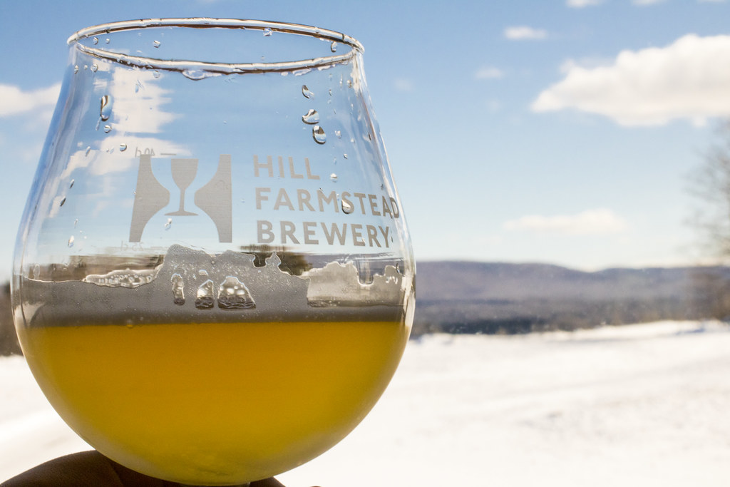
Enjoying the beer at Hill Farmstead
View Pano
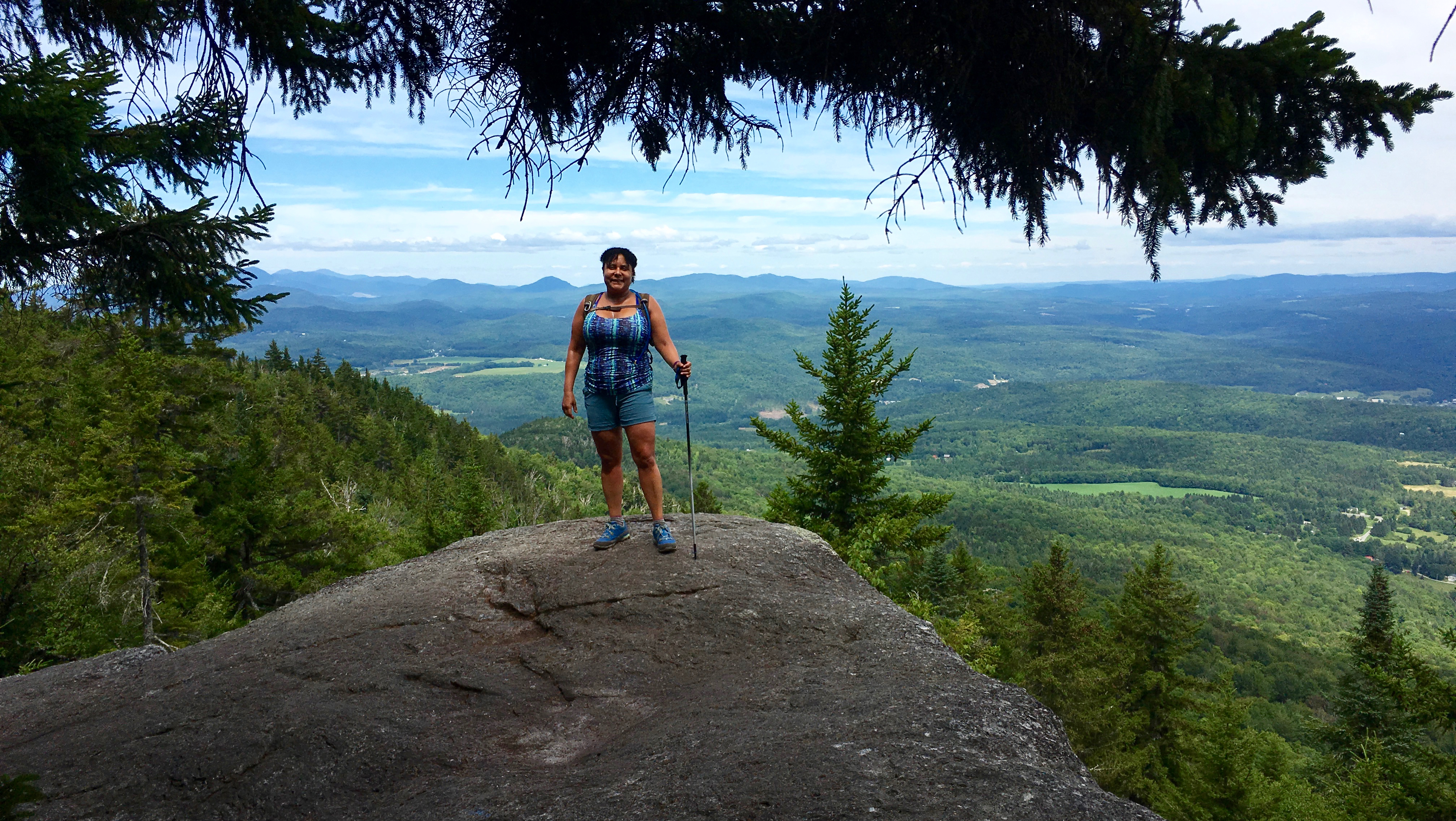
Mel @ View
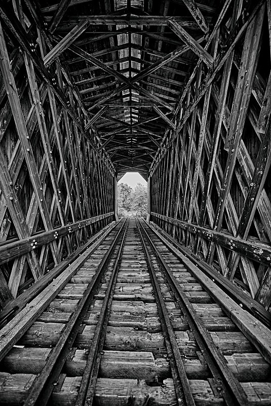
A Look Inside - Fisher Railroad Bridge, Vermont (VT-08-16) (DSH_5525-26)

Terrill Gorge - Vermont

Mount Elmore and The Moon

The Rian Fried Center for Sustainable Agriculture & Food Systems_1286

Greenwood Lake Foliage

Setting over Mansfield
twilight.

Vermont Night Life

Elmore Sunset 1
Vermont Brilliance
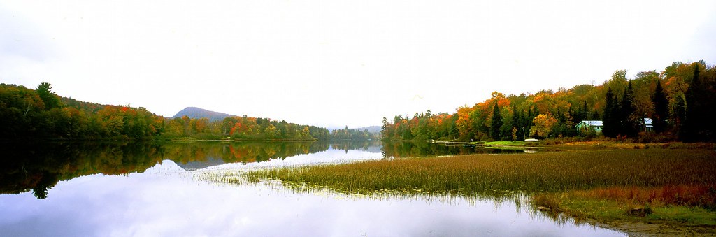
Vermont -- Lake Eden Fall Foliage #2 panoramic
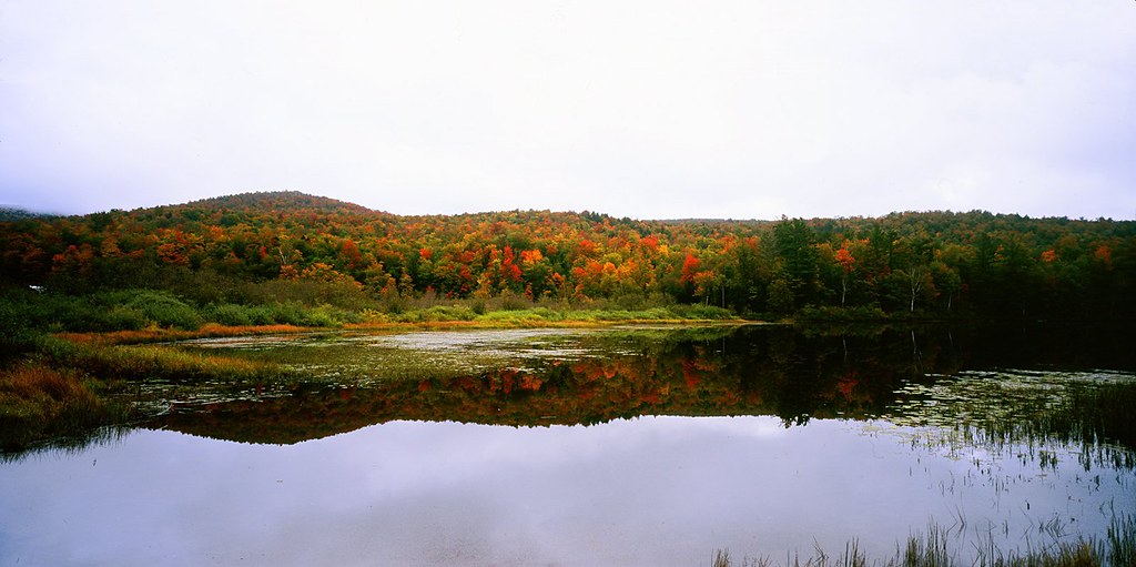
Vermont -- Lake Eden Fall Foliage #1 Panoramic
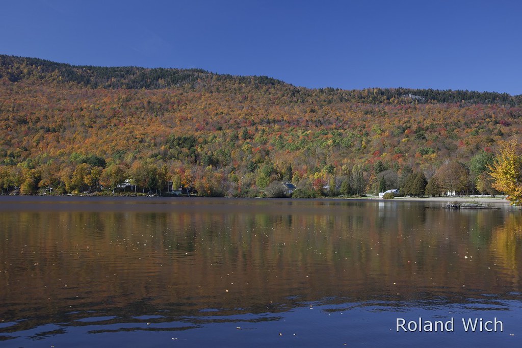
Lake Elmore
Lake Elmore

Terrill Gorge

Sunset, Elmore, Vermont

Golden frost
Hill Farmstead 09

Relaxing morning
untitled (37 of 98)

Terrill Gorge
Topographic Map of Town Hill Rd, Wolcott, VT, USA
Find elevation by address:

Places near Town Hill Rd, Wolcott, VT, USA:
21 Reed Rd, Wolcott, VT, USA
2948 E Hill Rd
2060 Town Hill Rd
1153 Brook Rd
1191 Baldwin Brook Rd
53 Heath Rd
779 E Hill Rd
Wolcott
Garfield Road
2322 Elmore Pond Rd
2083 Elmore Pond Rd
3154 Vt-15
Diggins Road
Elmore
856 Vt-12
Draper Farm Road
Lacasse Road
Cleveland Corners Rd, Hyde Park, VT, USA
Mckinstry Hill Road
Micklin Farm Road
Recent Searches:
- Elevation of Corso Fratelli Cairoli, 35, Macerata MC, Italy
- Elevation of Tallevast Rd, Sarasota, FL, USA
- Elevation of 4th St E, Sonoma, CA, USA
- Elevation of Black Hollow Rd, Pennsdale, PA, USA
- Elevation of Oakland Ave, Williamsport, PA, USA
- Elevation of Pedrógão Grande, Portugal
- Elevation of Klee Dr, Martinsburg, WV, USA
- Elevation of Via Roma, Pieranica CR, Italy
- Elevation of Tavkvetili Mountain, Georgia
- Elevation of Hartfords Bluff Cir, Mt Pleasant, SC, USA