Elevation of 21 Reed Rd, Wolcott, VT, USA
Location: United States > Vermont > Lamoille County > Wolcott >
Longitude: -72.460052
Latitude: 44.611542
Elevation: 263m / 863feet
Barometric Pressure: 98KPa
Elevation Map:
Satellite Map:
Related Photos:
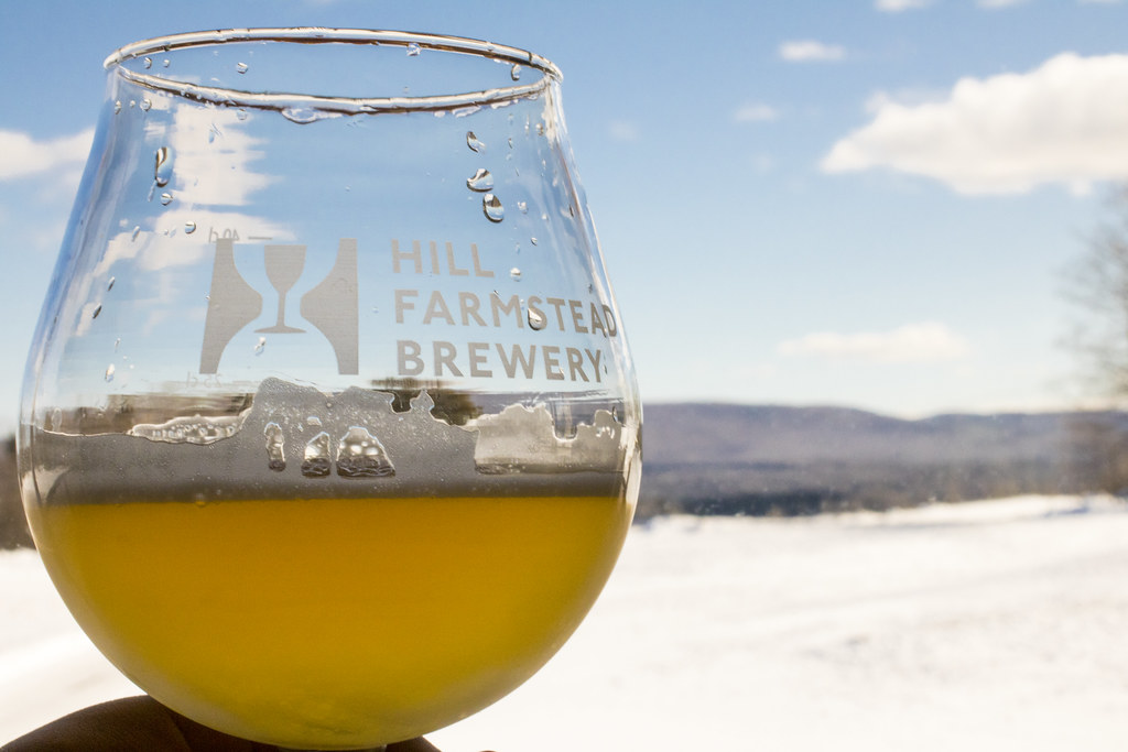
Enjoying the beer at Hill Farmstead
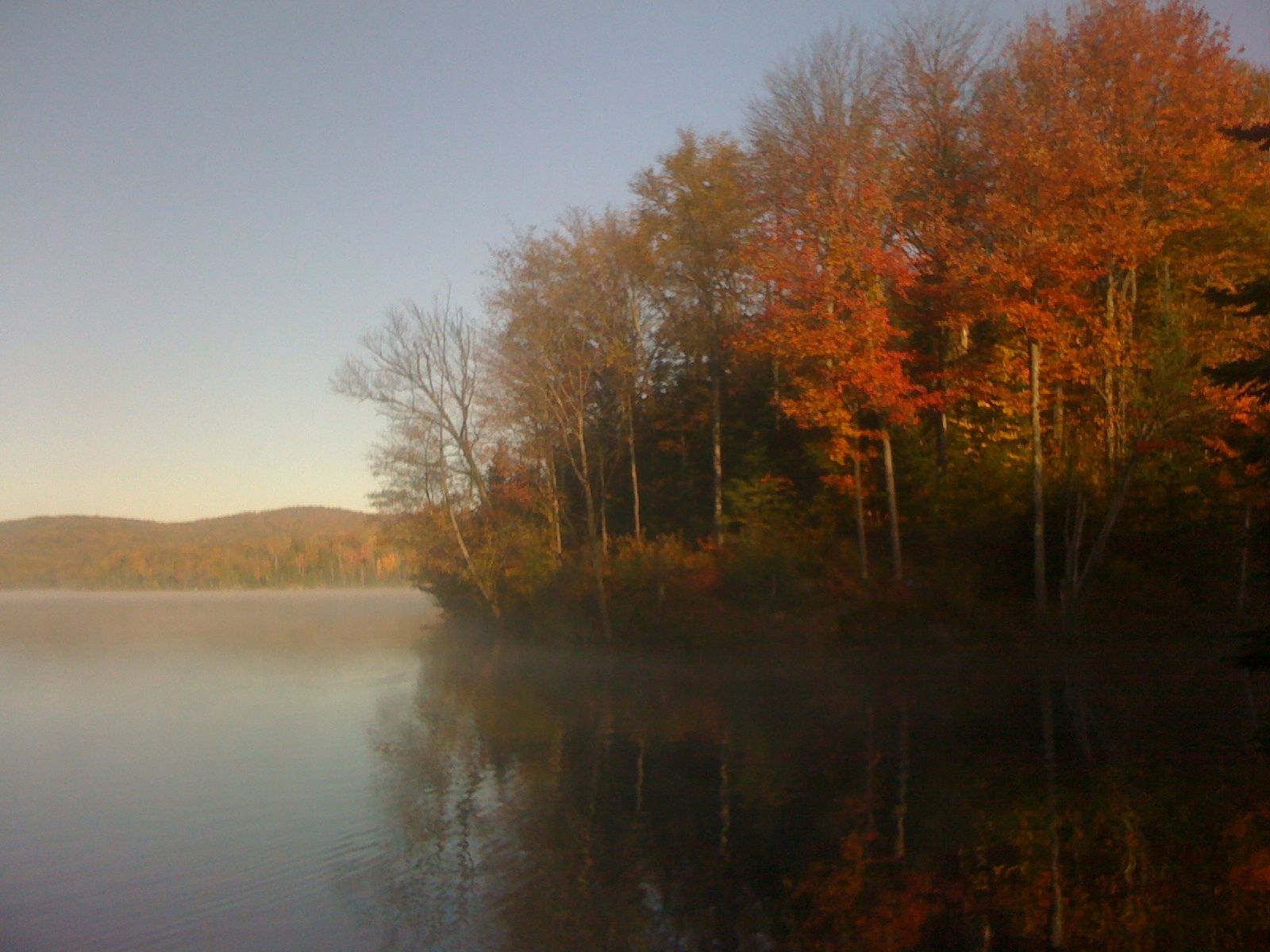
Early AM view at Green River Rez

Views From the Green
Honeymoon suite

IMG_1350.CR2
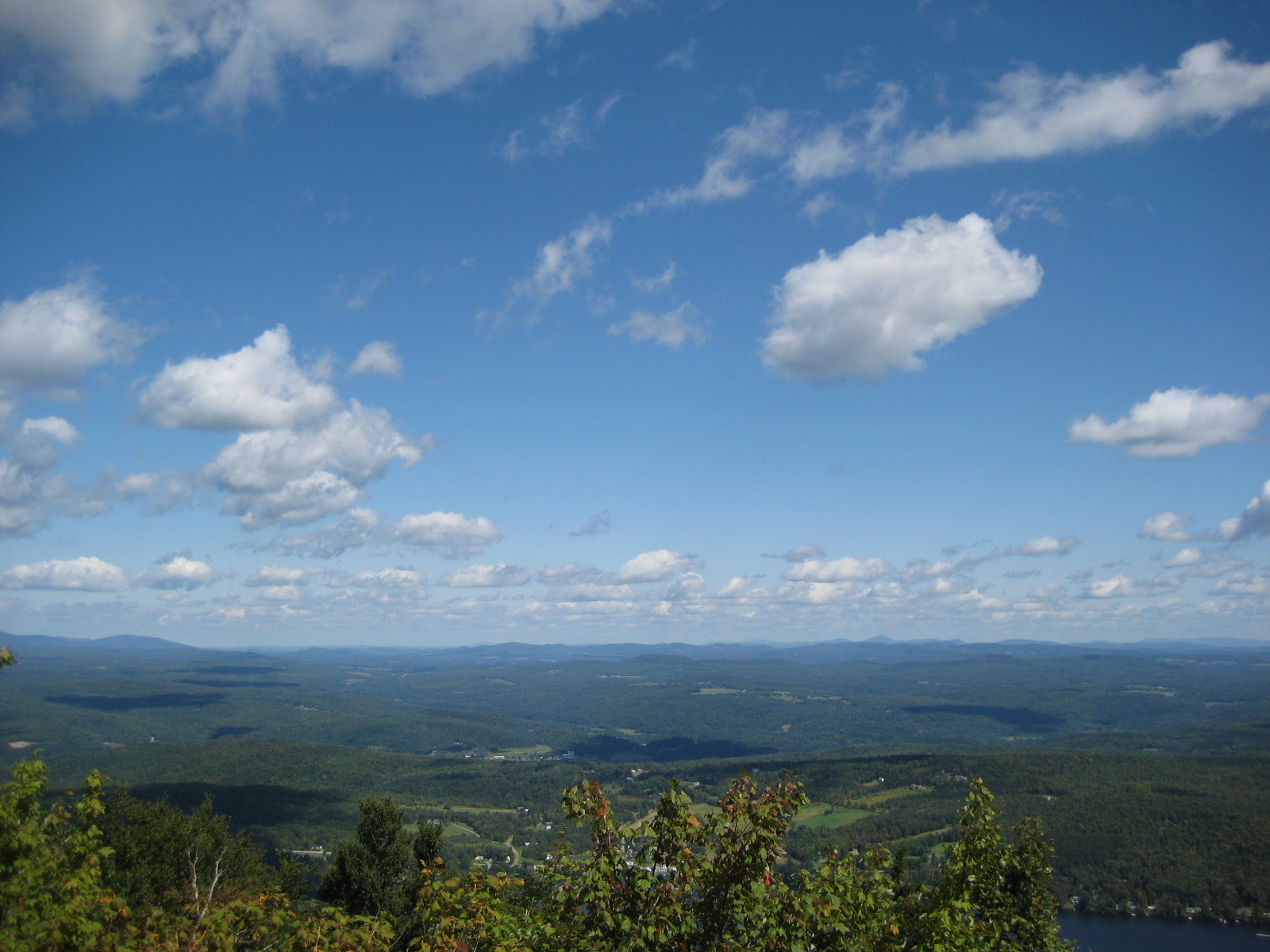
View of Lamoille Valley from trail lookout at Mt Elmore at Elmore State Park, VT
IMG_1343.CR2
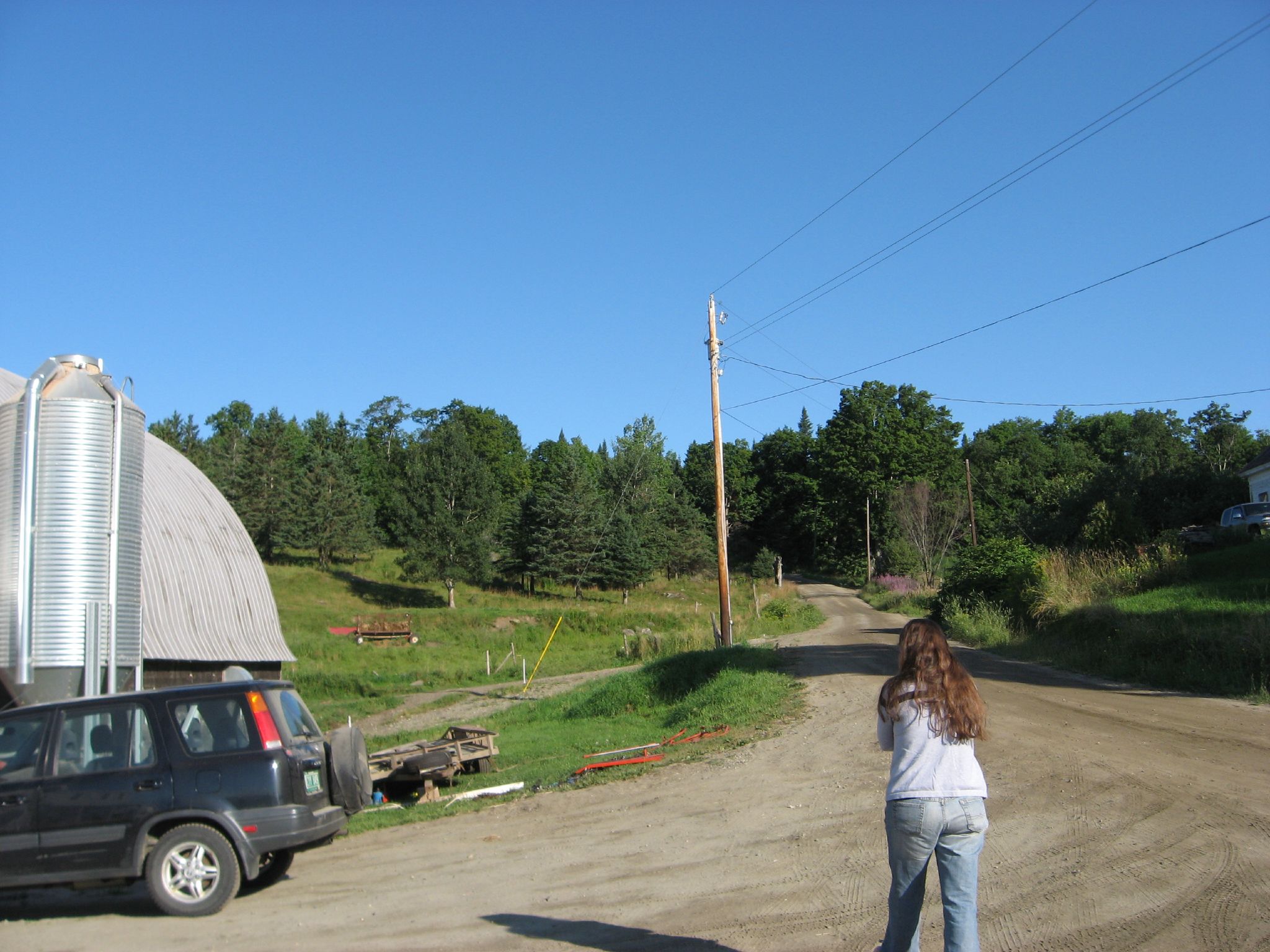
View from the front yard
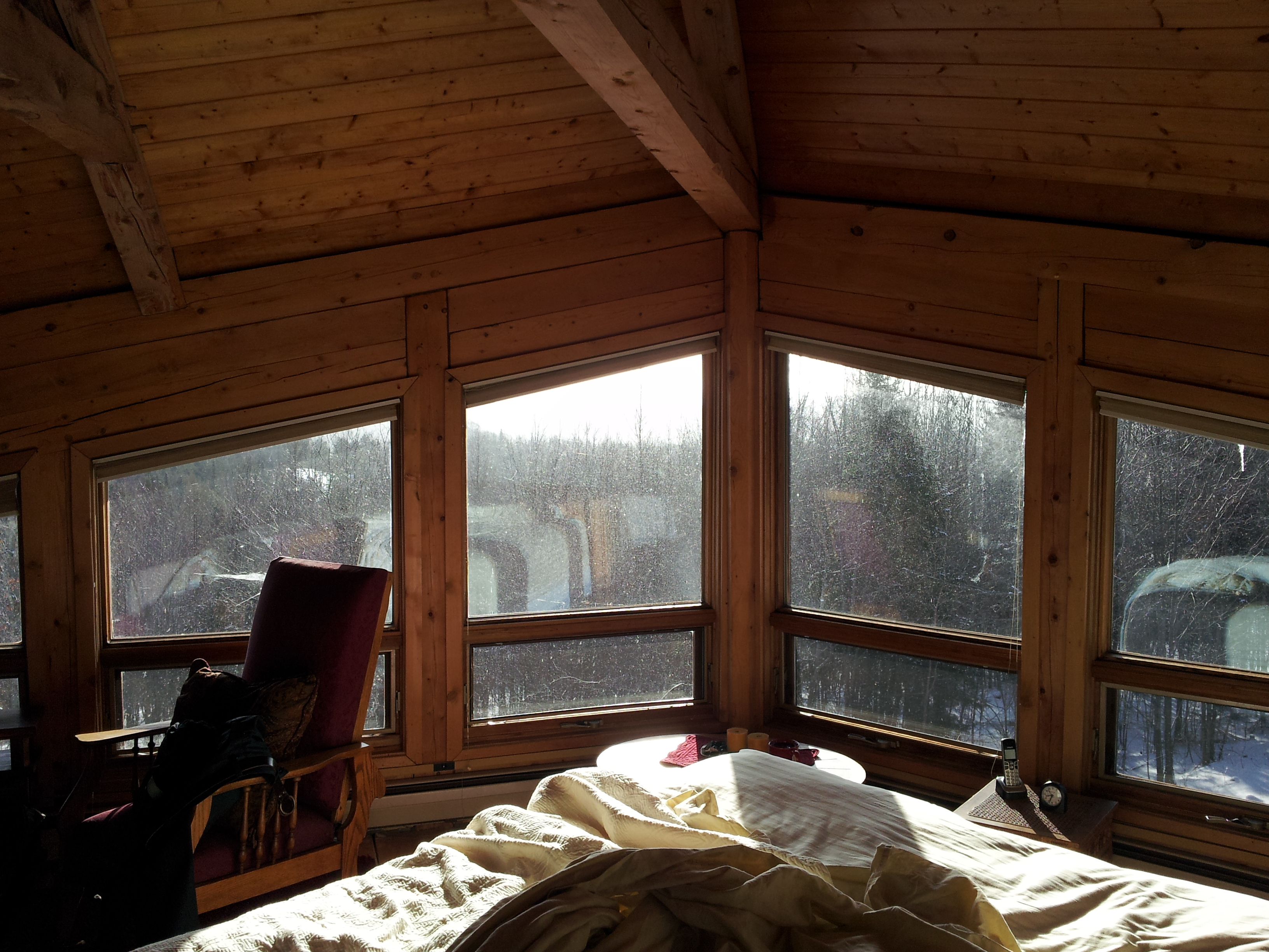
Upstairs Cabin View

Webster Barn

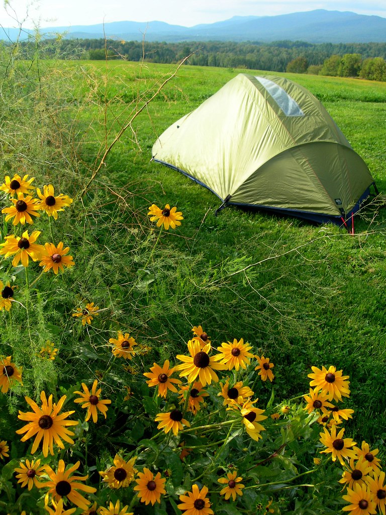
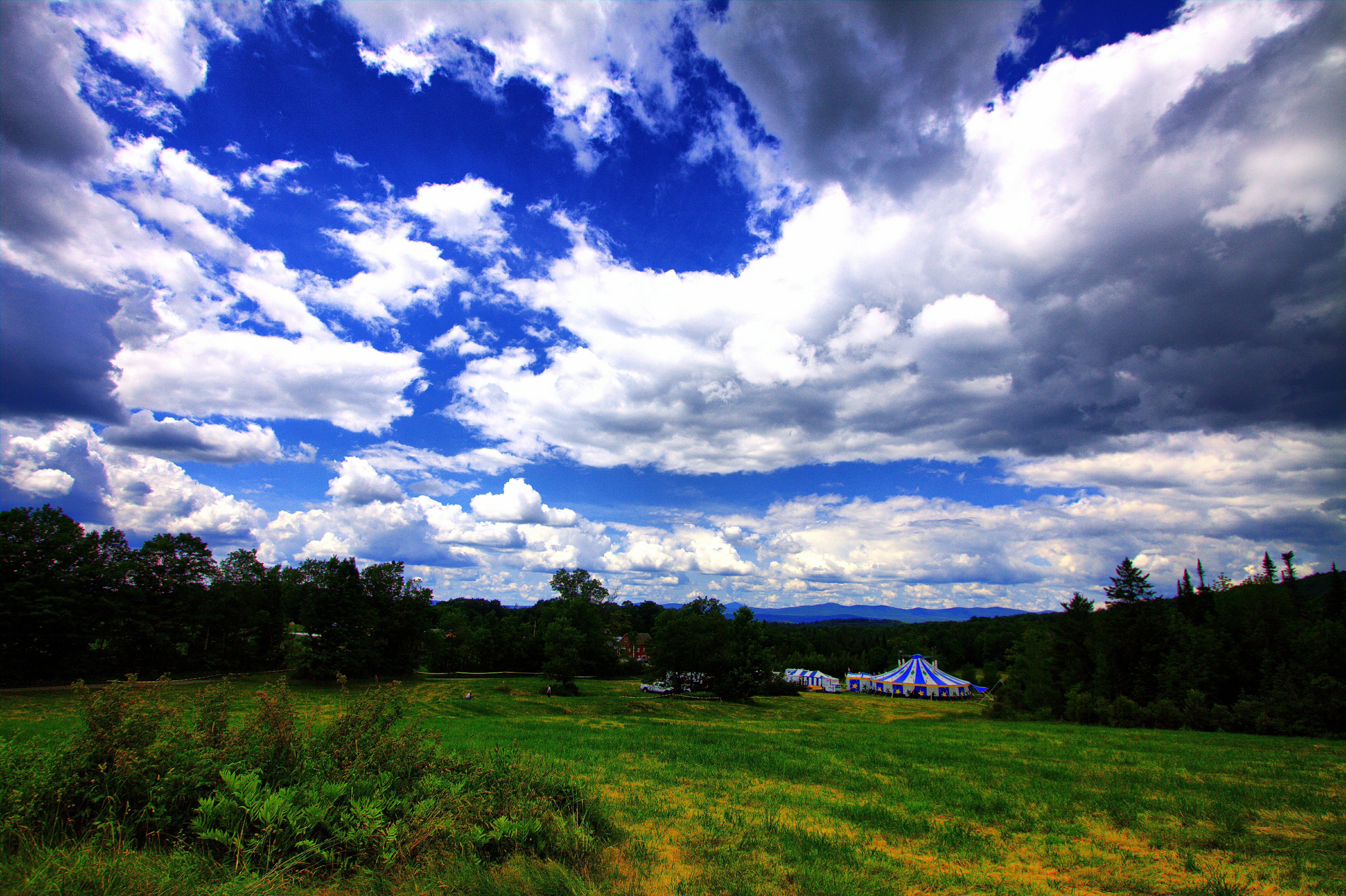
Had a great time of fellowship with the Powell family while at Mountain View Campground in Vermont
View of the new cave site
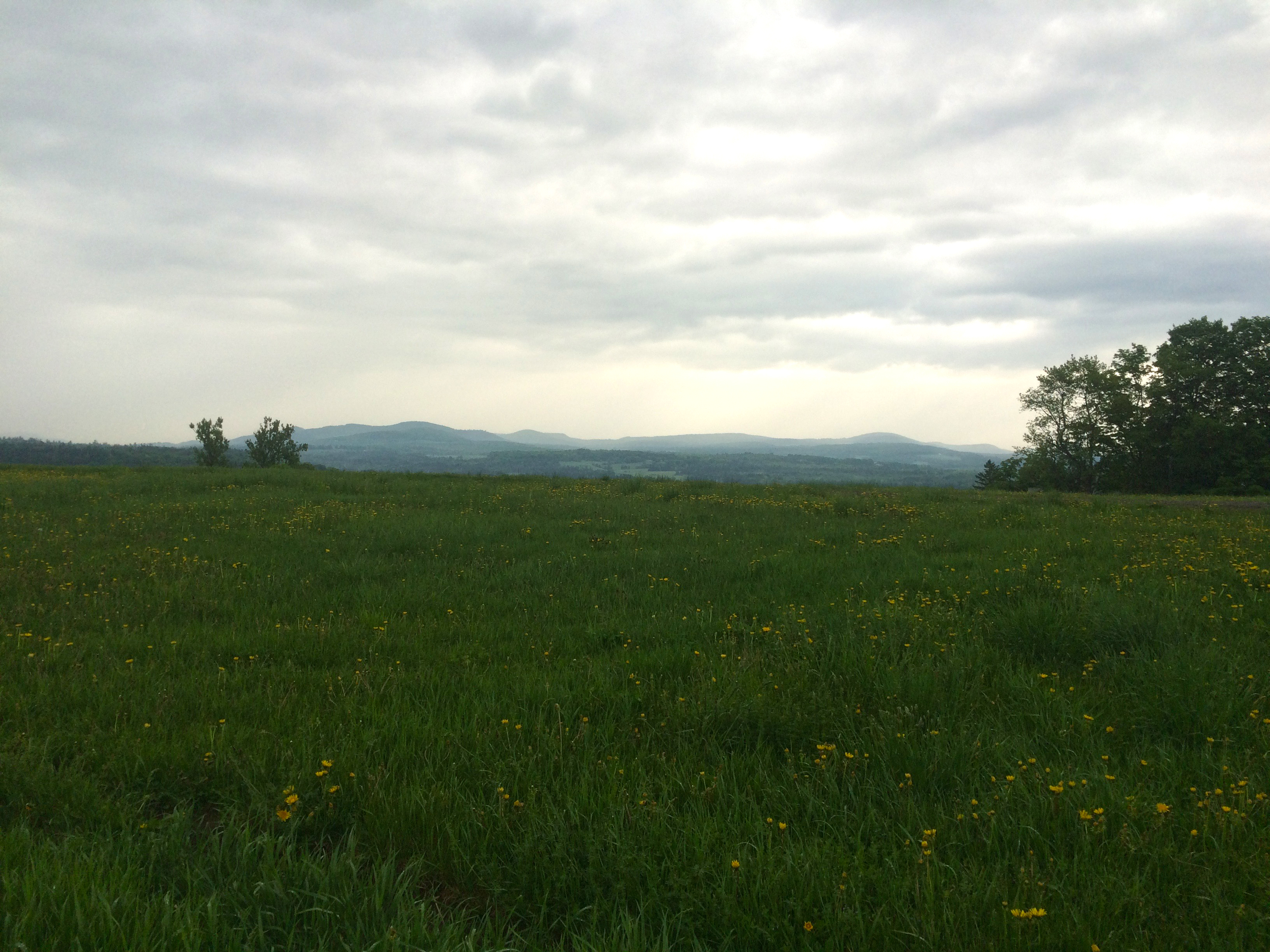
View from Gardens_1428

how glorius a greeting the sun gives the mountains.
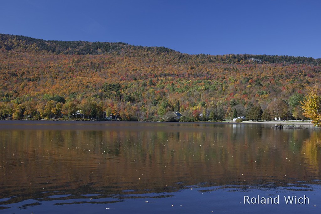
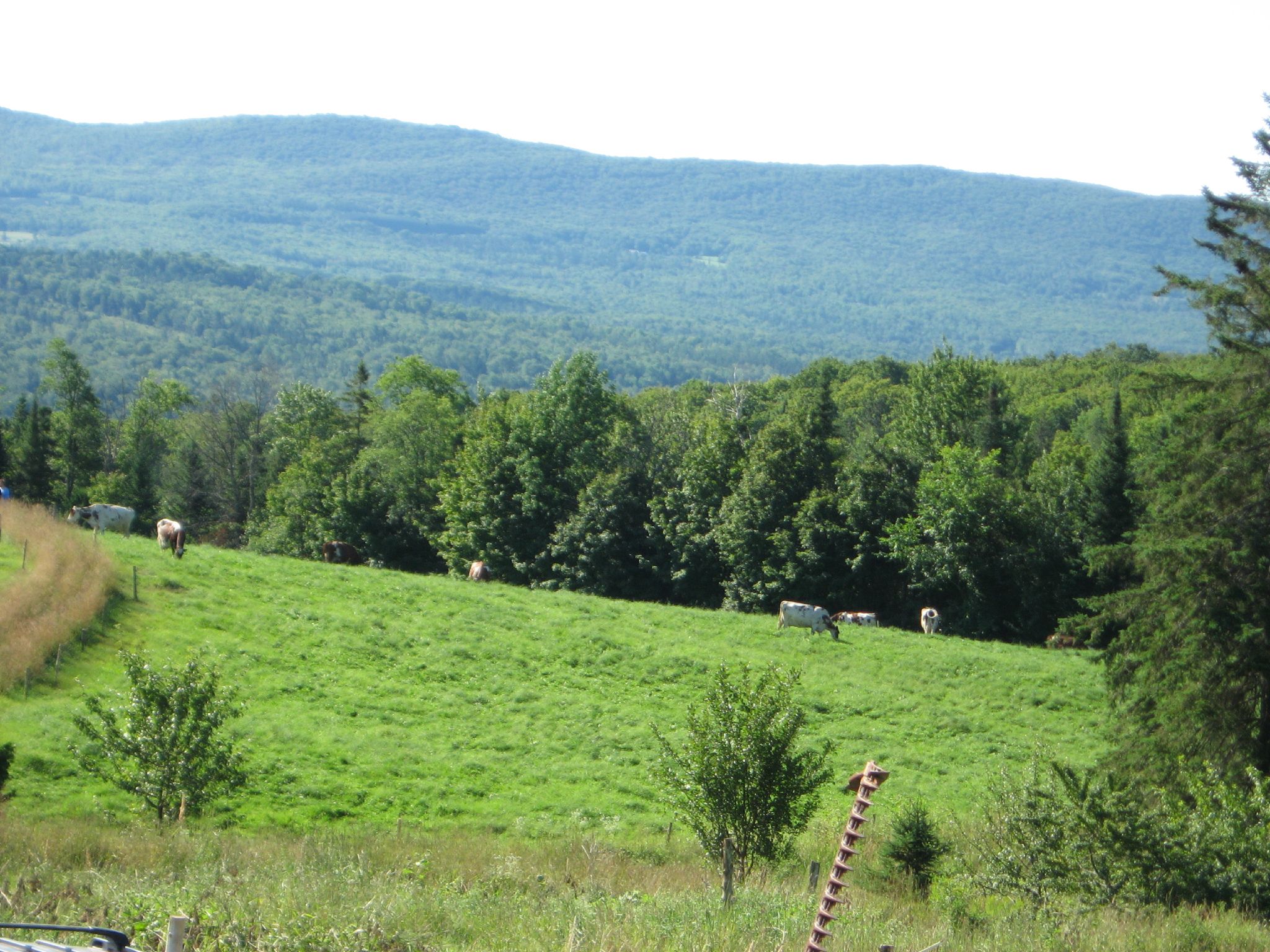
Lake Elmore
Greensboro Overview
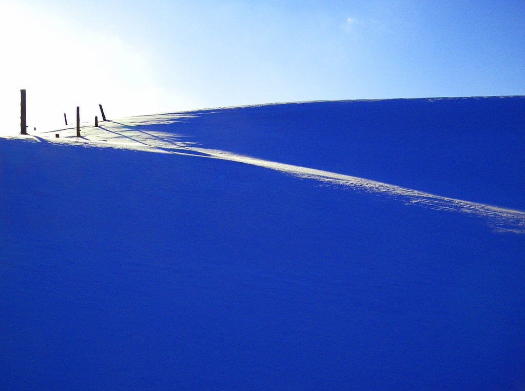
january blues

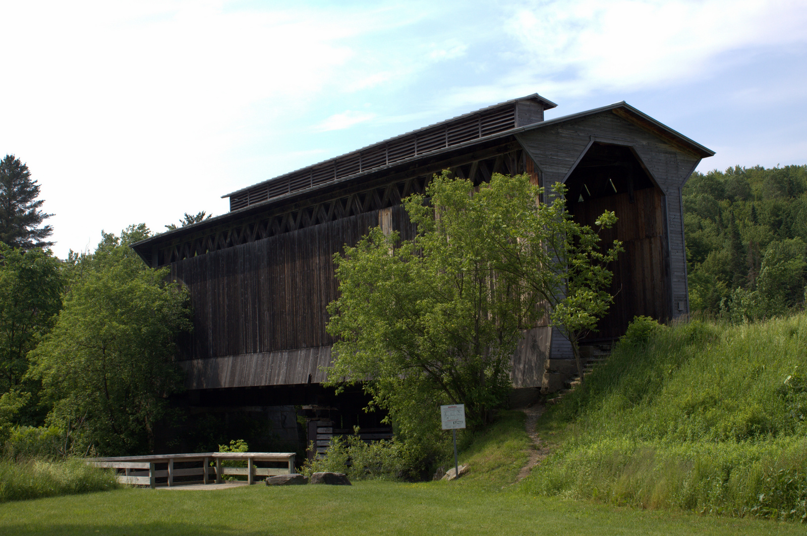
Fisher Railroad Bridge, Vermont (VT-08-16) (DSH_5512-13)
A Look Inside - Fisher Railroad Bridge, Vermont (VT-08-16) (DSH_5525-26)
twilight.

Setting over Mansfield
Vermont Night Life

Terrill Gorge - Vermont

Elmore Sunset 1

Golden frost

Mount Elmore and The Moon
Vermont Brilliance

USA_Mill Village (Craftsbury)01_Vermont

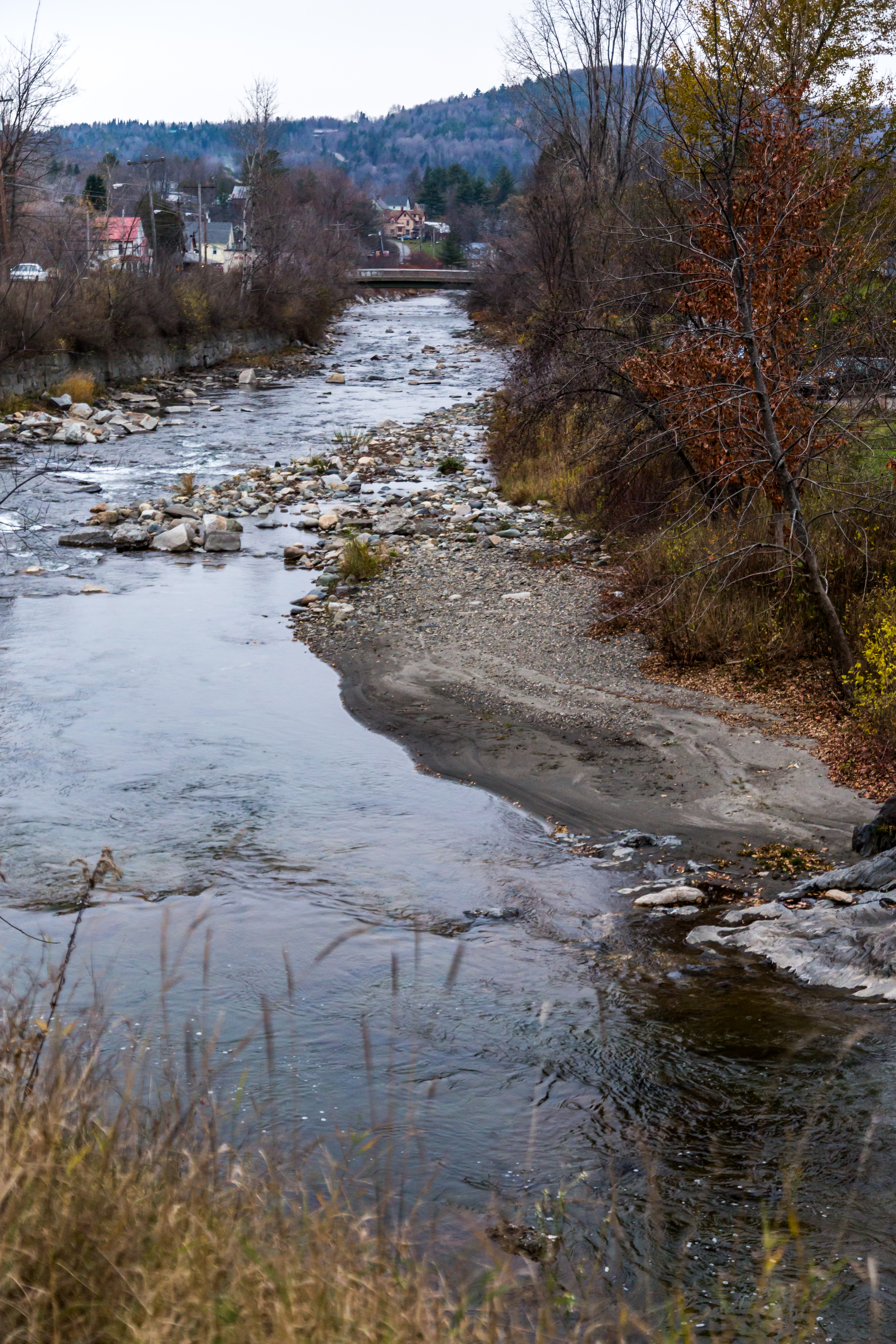
Terrill Gorge
untitled (37 of 98)

Ducklings (twilight reprise)

Terrill Gorge
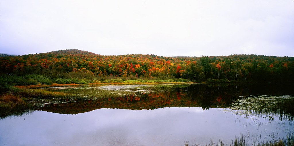
Vermont -- Lake Eden Fall Foliage #1 Panoramic

09 Christmas _ Vermont Trip
Topographic Map of 21 Reed Rd, Wolcott, VT, USA
Find elevation by address:

Places near 21 Reed Rd, Wolcott, VT, USA:
1153 Brook Rd
1191 Baldwin Brook Rd
4197 Town Hill Rd
53 Heath Rd
2060 Town Hill Rd
2948 E Hill Rd
Garfield Road
779 E Hill Rd
Wolcott
2322 Elmore Pond Rd
2083 Elmore Pond Rd
3154 Vt-15
Diggins Road
856 Vt-12
Elmore
Mckinstry Hill Road
Cleveland Corners Rd, Hyde Park, VT, USA
Draper Farm Road
3152 Centerville Rd
Lacasse Road
Recent Searches:
- Elevation of Corso Fratelli Cairoli, 35, Macerata MC, Italy
- Elevation of Tallevast Rd, Sarasota, FL, USA
- Elevation of 4th St E, Sonoma, CA, USA
- Elevation of Black Hollow Rd, Pennsdale, PA, USA
- Elevation of Oakland Ave, Williamsport, PA, USA
- Elevation of Pedrógão Grande, Portugal
- Elevation of Klee Dr, Martinsburg, WV, USA
- Elevation of Via Roma, Pieranica CR, Italy
- Elevation of Tavkvetili Mountain, Georgia
- Elevation of Hartfords Bluff Cir, Mt Pleasant, SC, USA