Elevation of Toutle River Rd, Castle Rock, WA, USA
Location: United States > Washington > Cowlitz County > Castle Rock >
Longitude: -122.84546
Latitude: 46.3351785
Elevation: 43m / 141feet
Barometric Pressure: 101KPa
Elevation Map:
Satellite Map:
Related Photos:

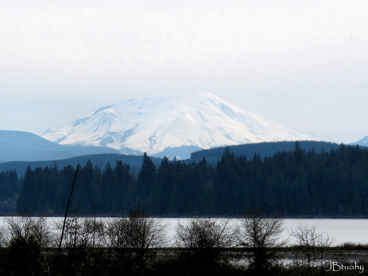
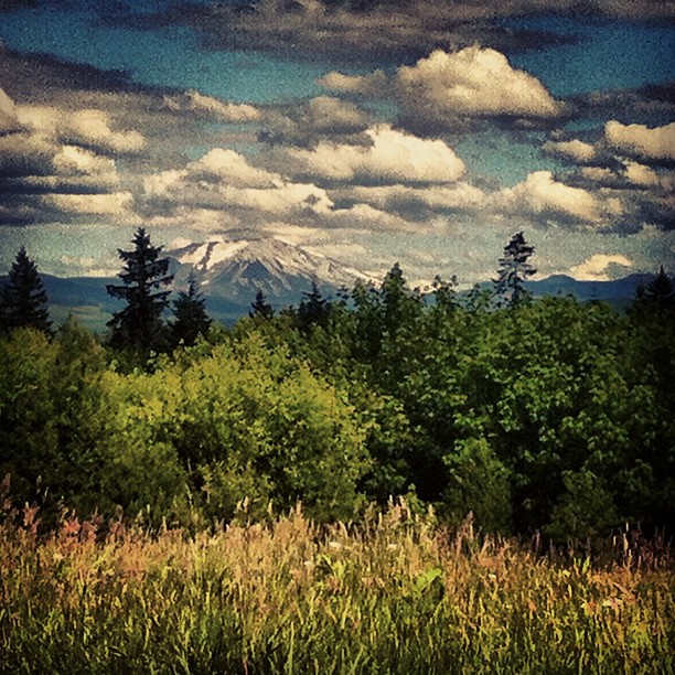
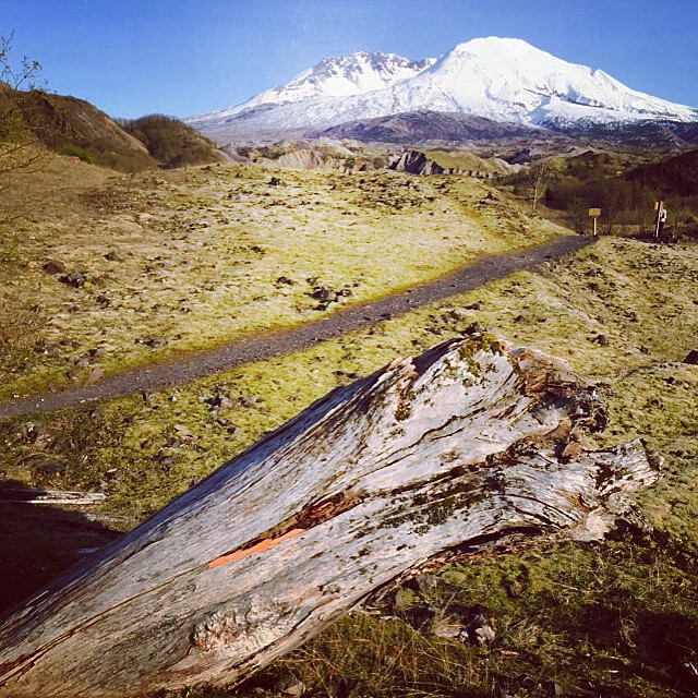
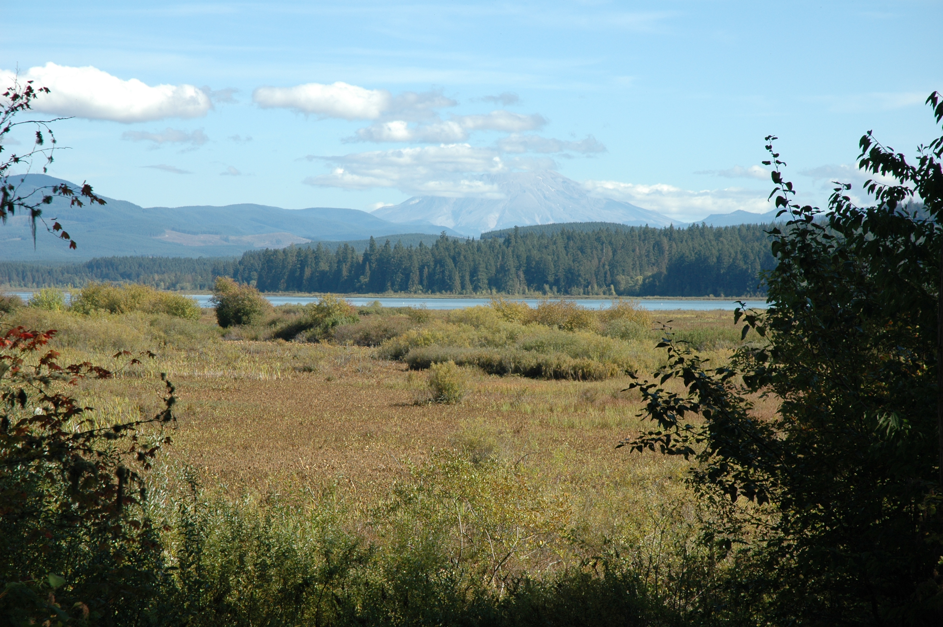
Mount Saint Helens
05-27-2010JohnstonRidgeObservatoryA
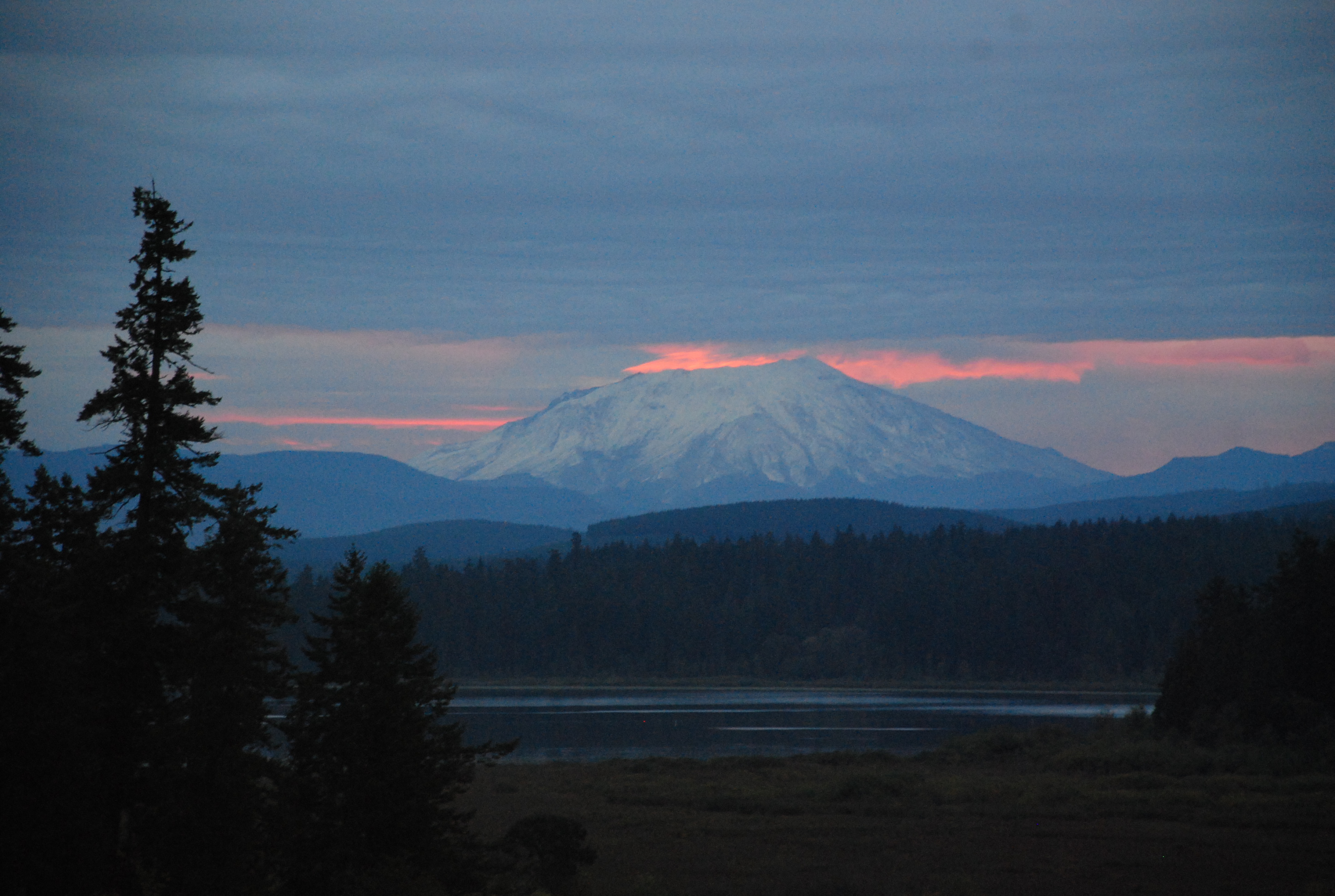
Volcano sunrise 2
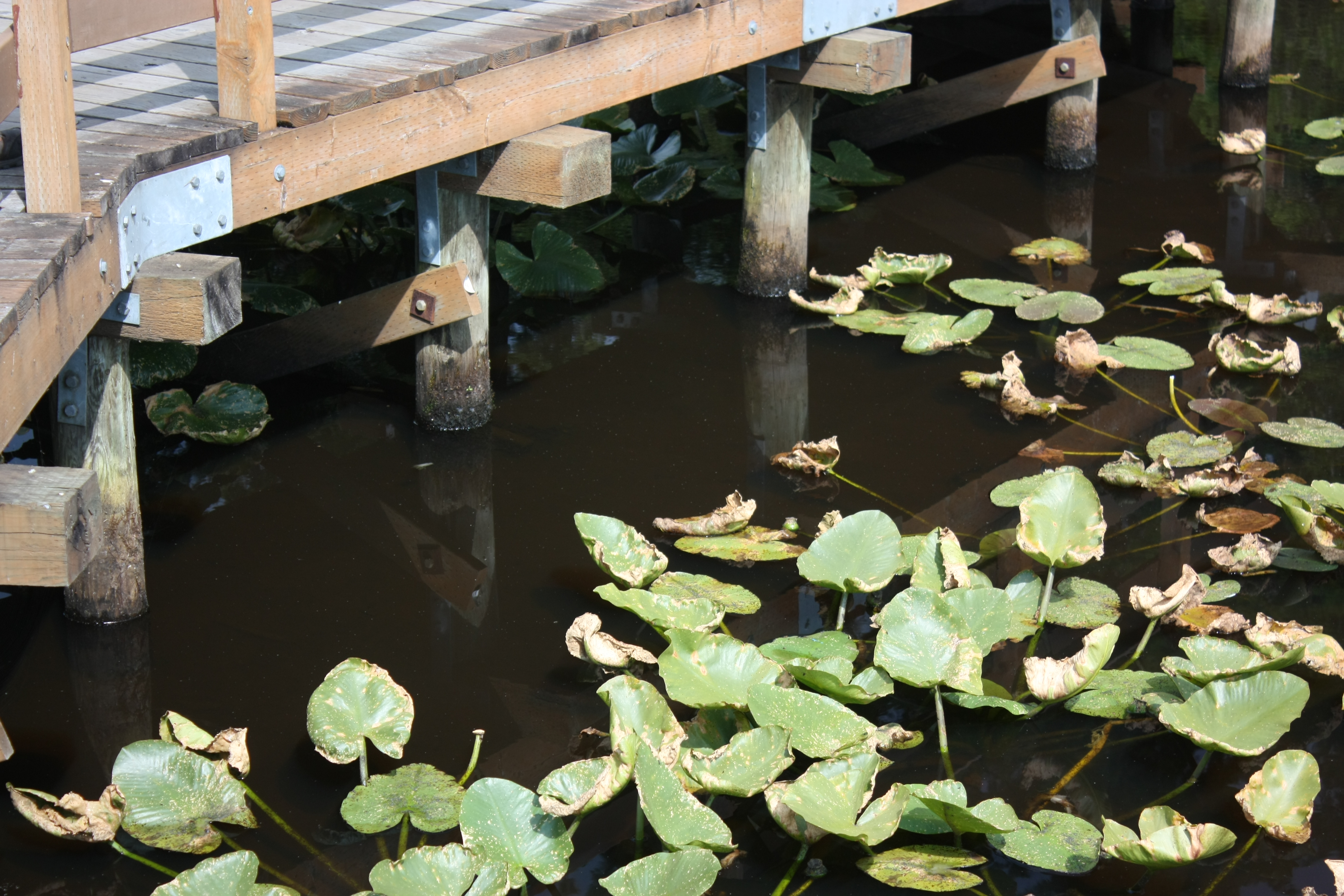
Bridge and Pads
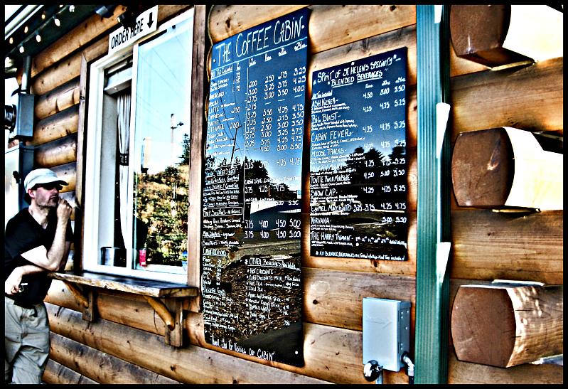
The Coffee Cabin

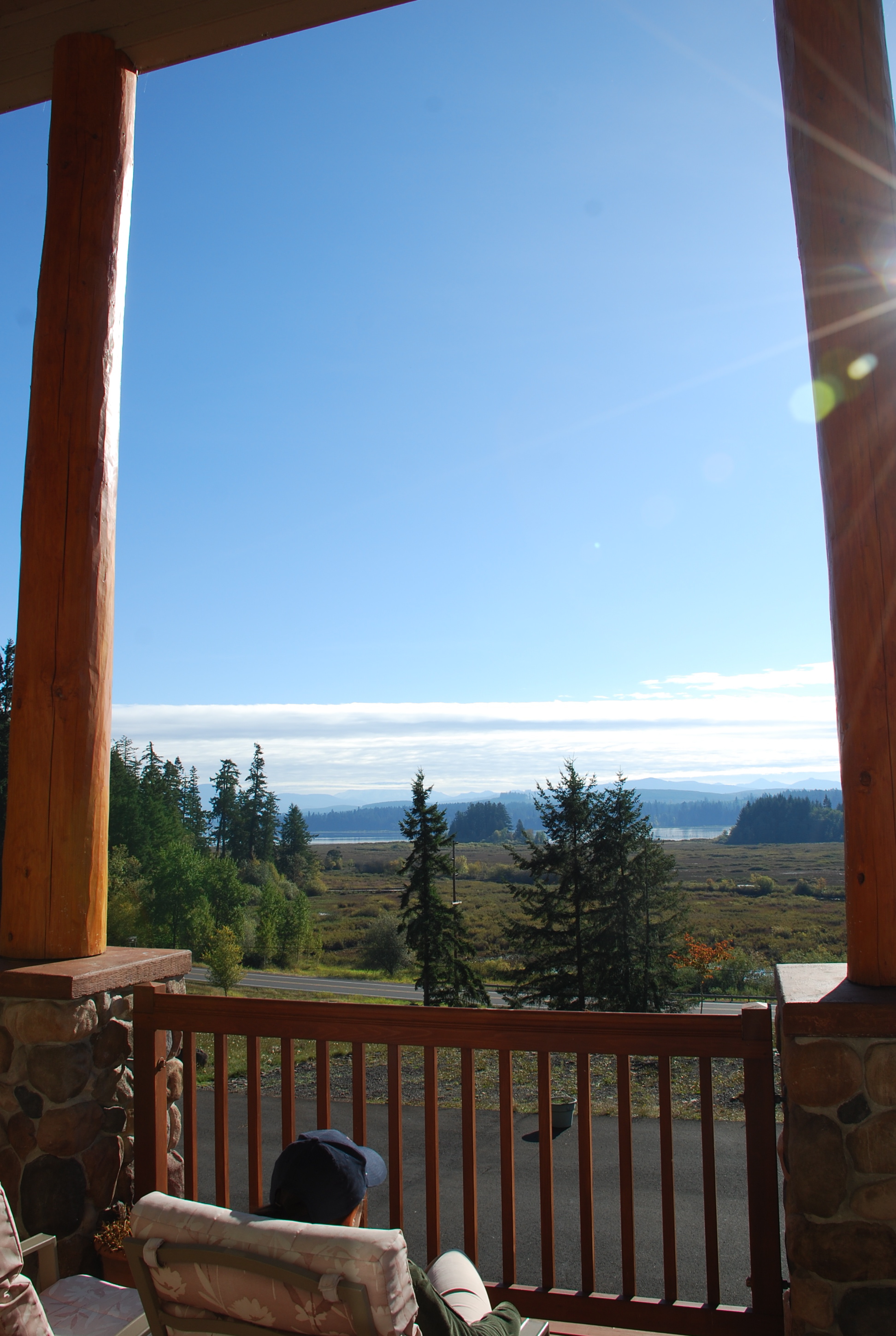
the view from Lacey Rha's Cafe (in the heart of Castle Rock)
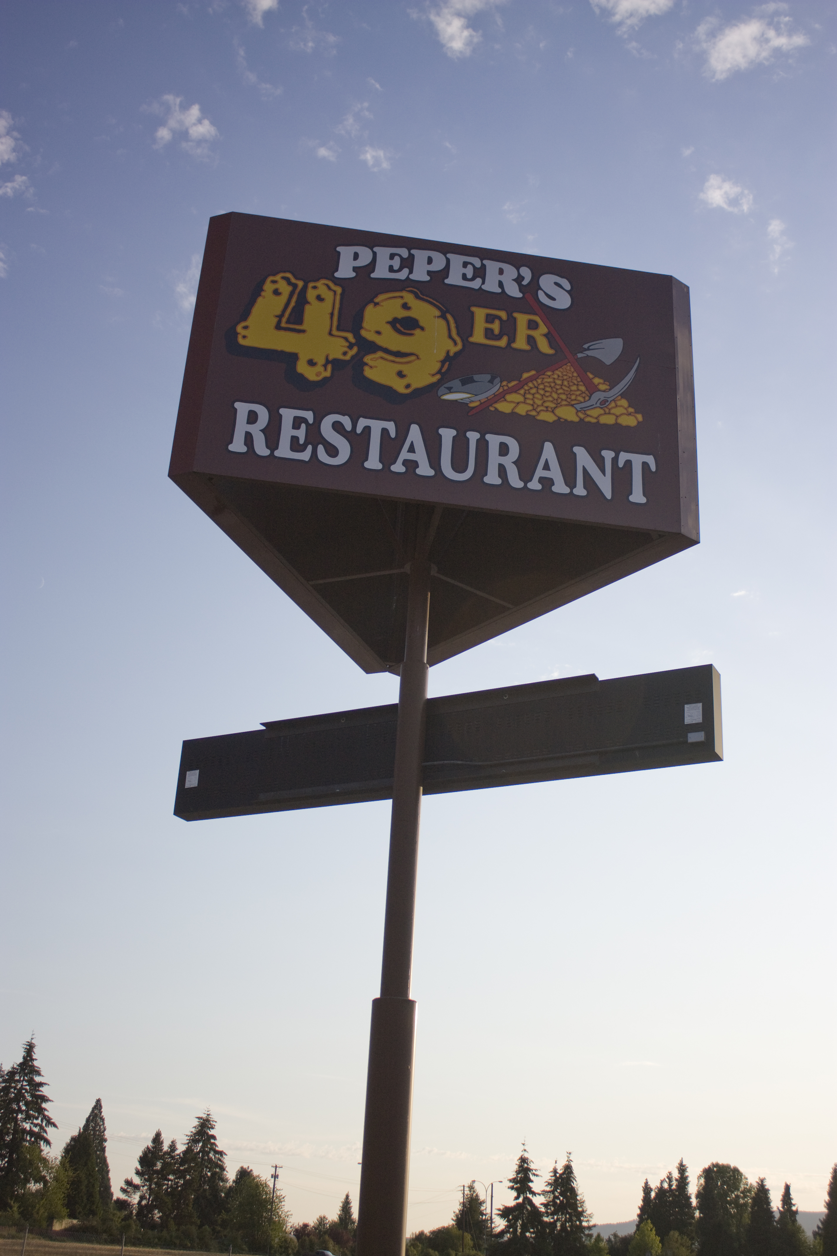
The 49er
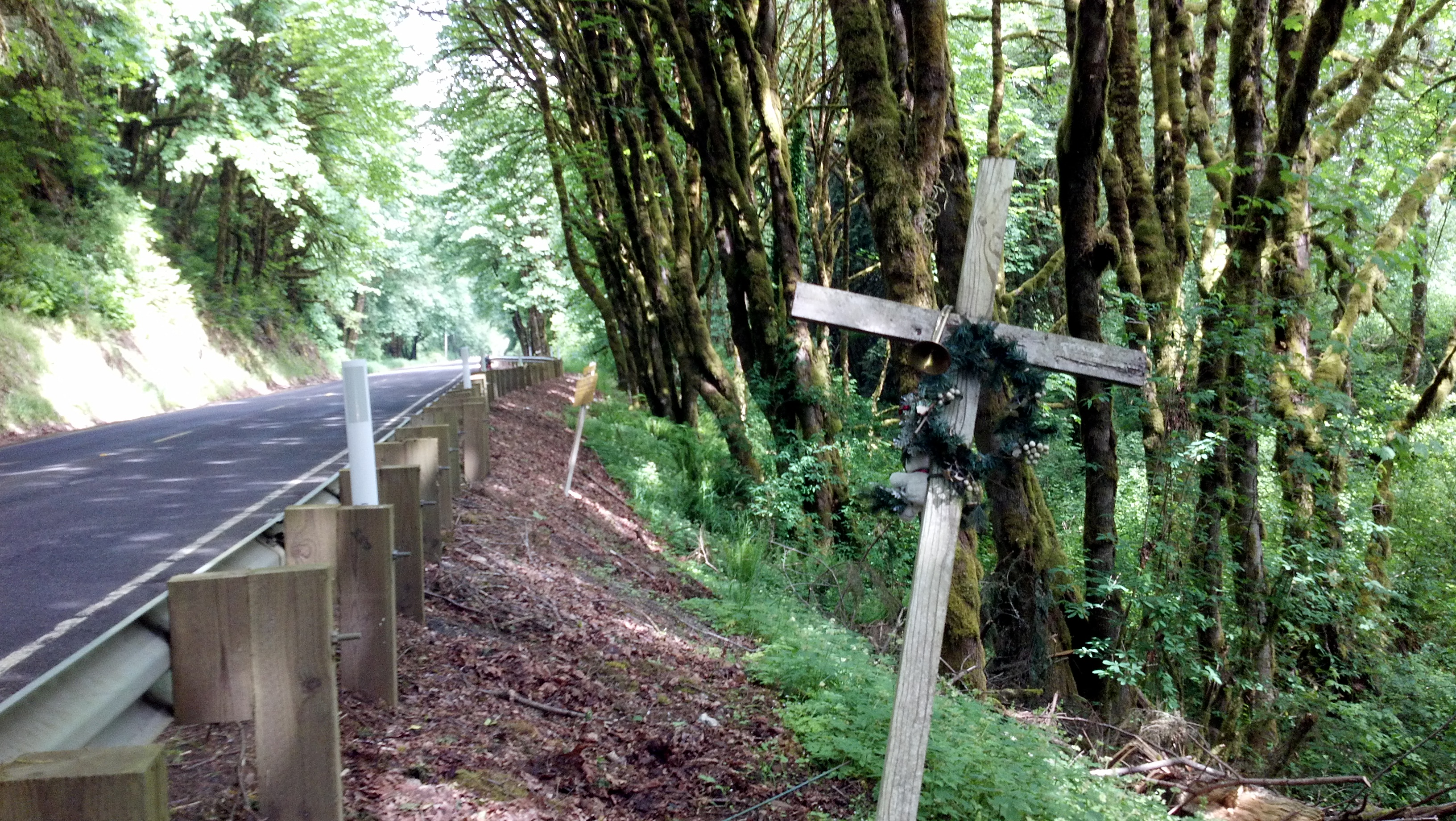
Memorials (PDX to Victoria)
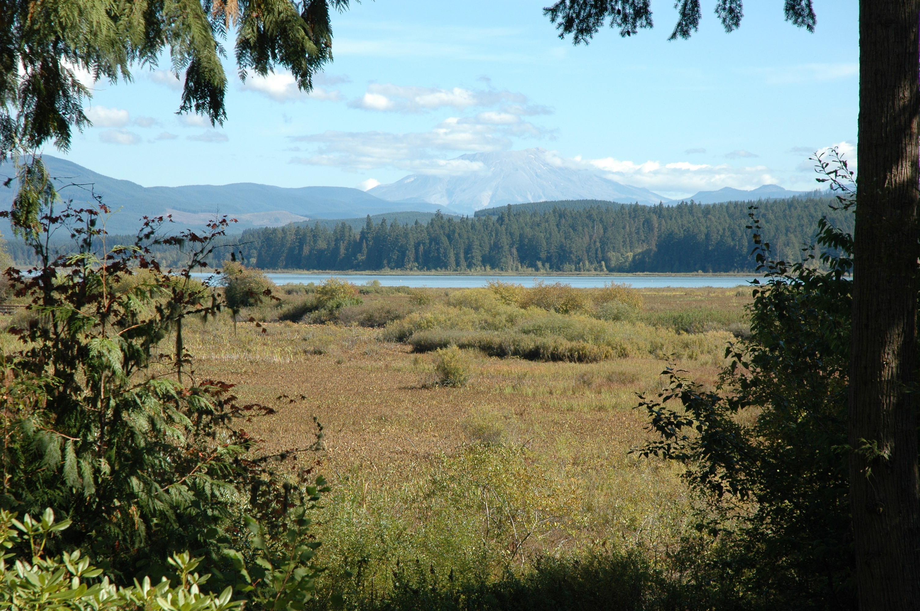
Mount St. Helens
Mount St. Helens

2014/365/295 Can See Awesome From Here
Morning sun
Volcano sunrise 3

Mount St. Helens
Volcano sunrise 6

Volcano sunrise 7
Mount St. Helens

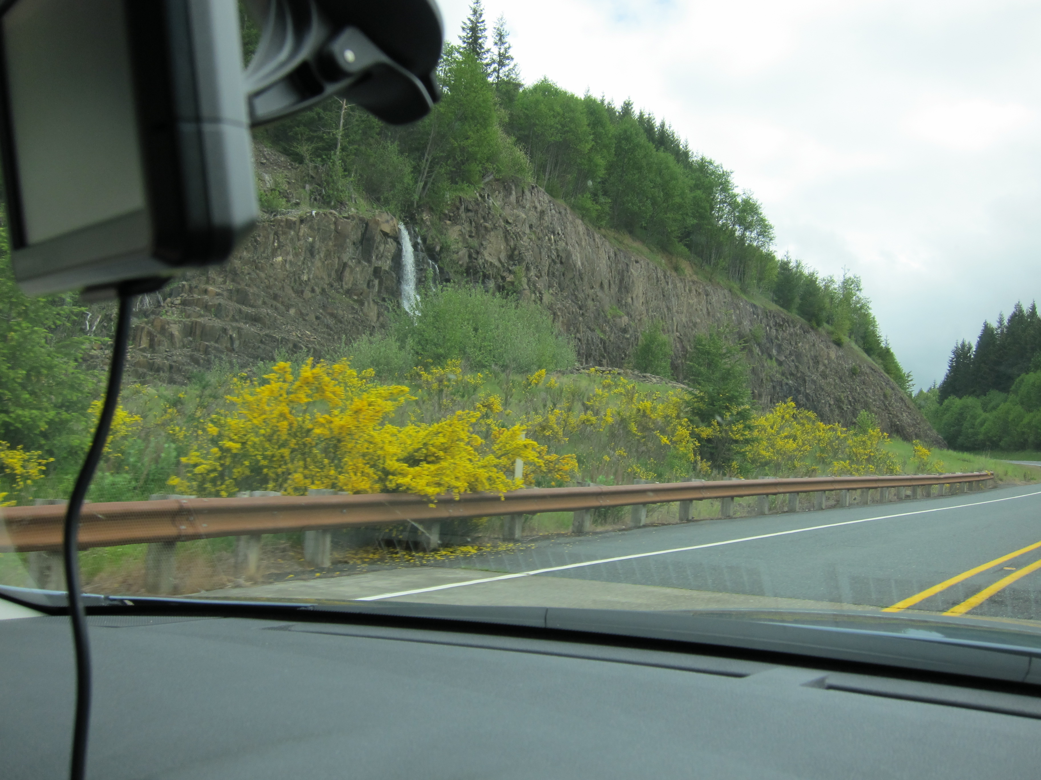
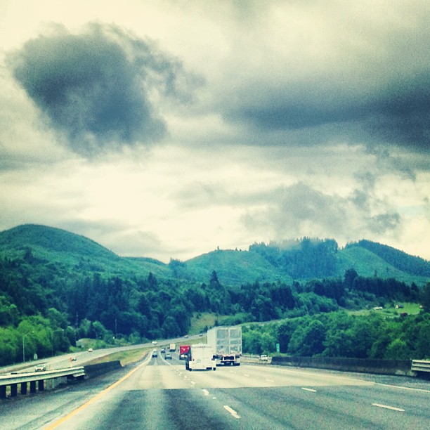
this is my preferred view of I-5

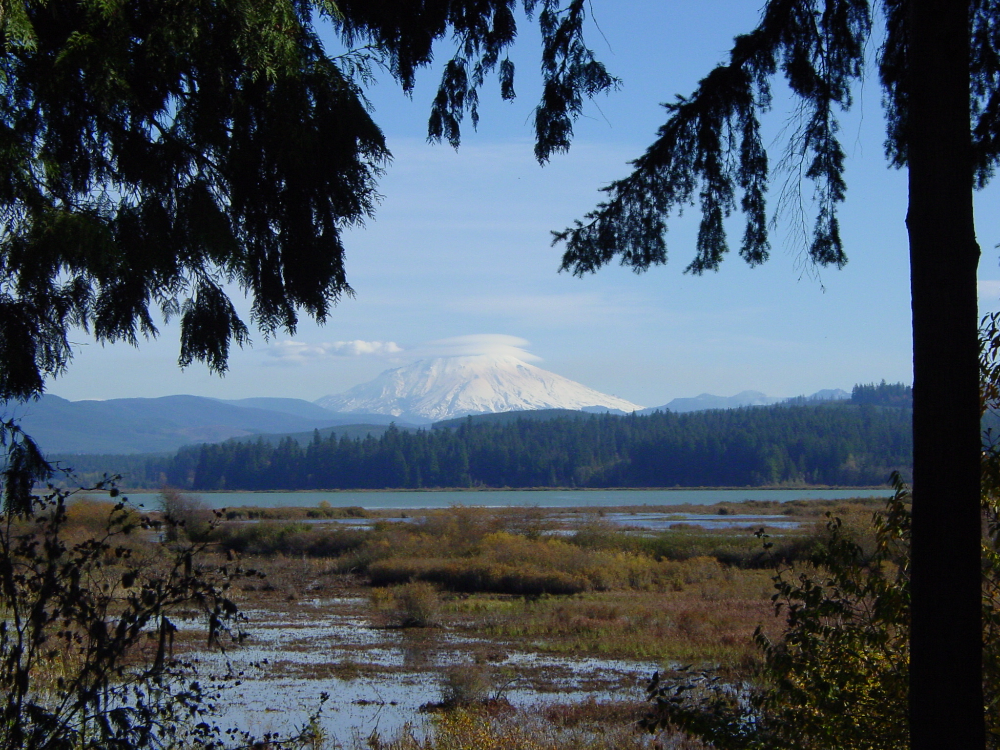
The view towards Mount St. Helens
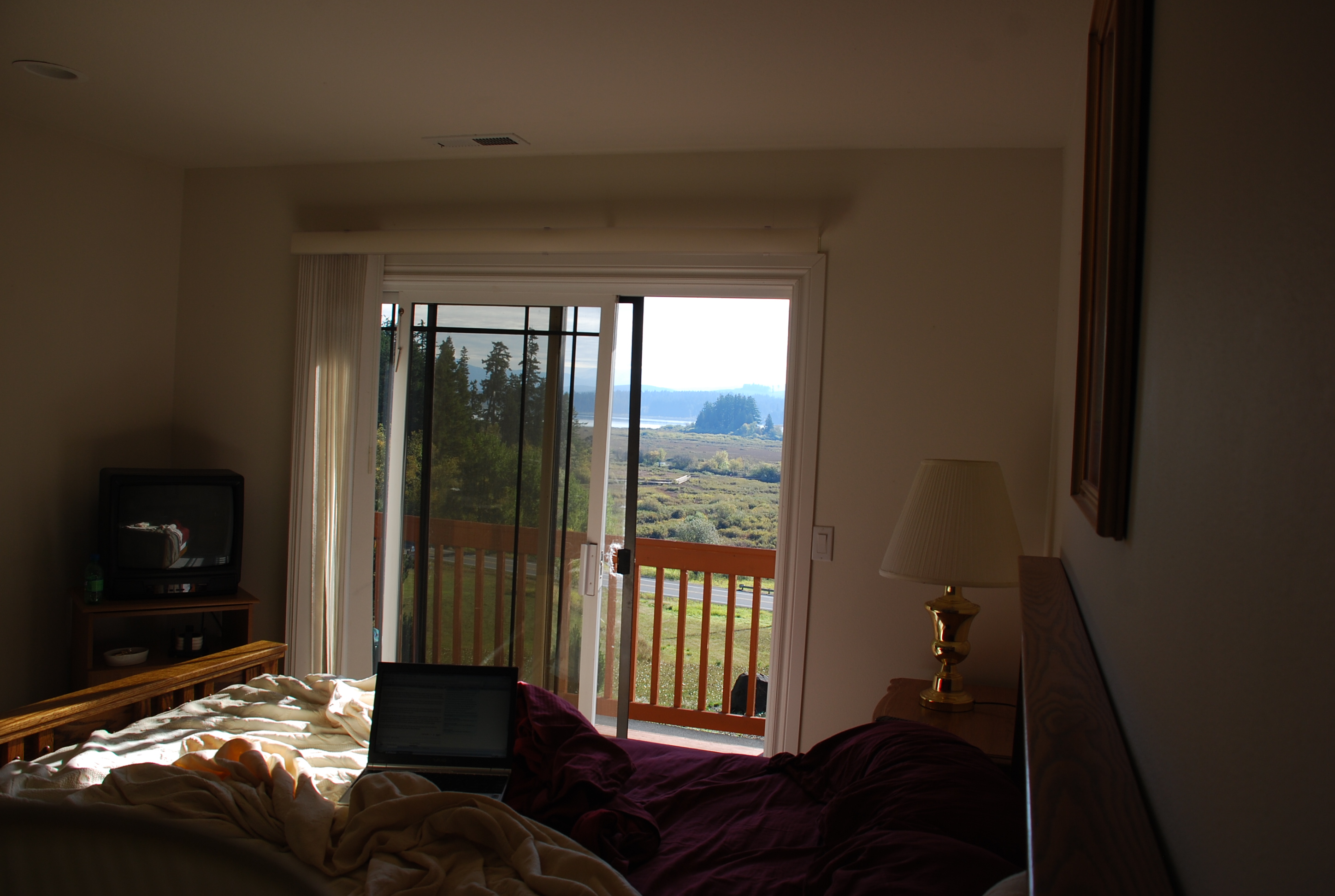
View from bed

Cowlitz River

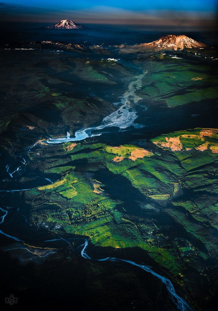
Sighting from St Helens to Adams
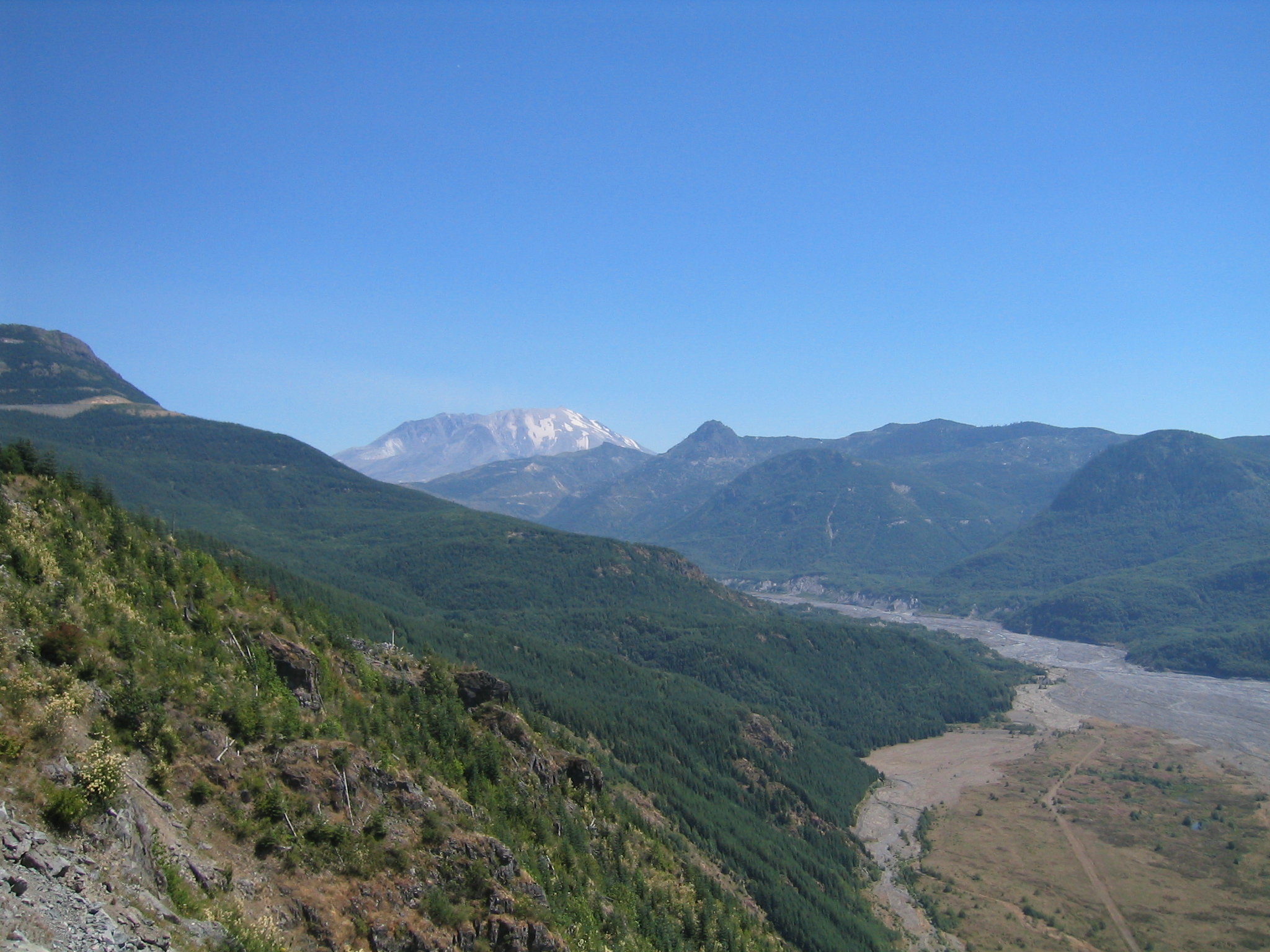
The Toutle River: Mt St Helens' pyroclastic debris drain
Quiet Giants
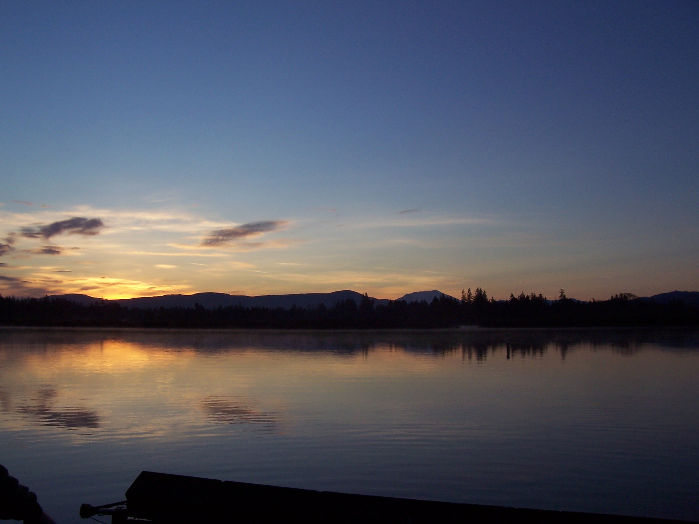
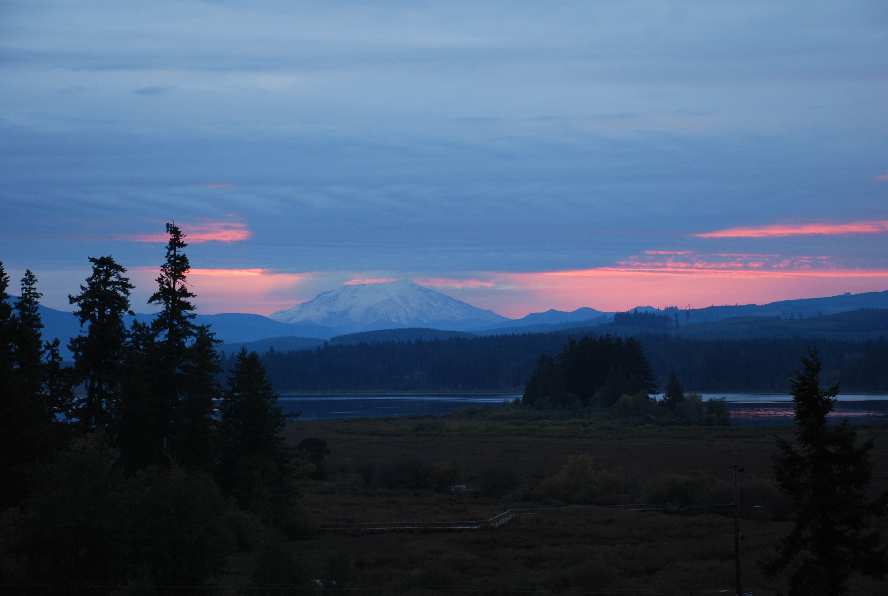
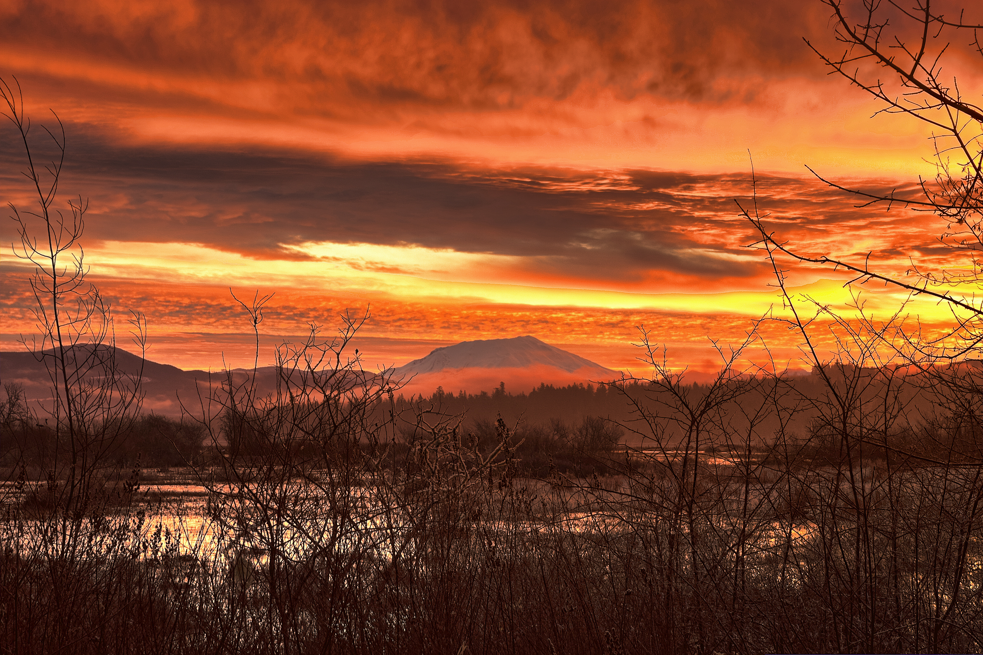
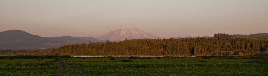
Sunrise Over Silver Lake, WA
Mt St. Helens
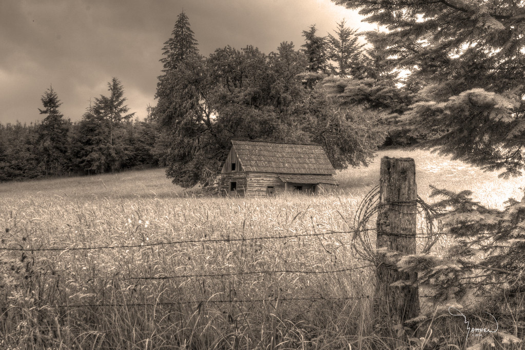
Merchant Road Homestead sepia
Standing in a Field
Last Sunrise Of 2012
#Washington #State

Sunset over the Pacific Northwest #headedhome

North fork of the Toutle and Rainier

Mt Rainier and Mt St Helens
Come for the magma, stay for the lava #hummocks #debris #avalanche #mtsainthelens #volcano
in the morning
Go away! She's mine!!!
Mount Saint Helens Visitor Center 005
55 mph Landscape Photography
Mount Saint Helens Visitor Center 002

Fozzie facing Mt St Helens (not shown)
Sunset on Mount Saint Helens
Topographic Map of Toutle River Rd, Castle Rock, WA, USA
Find elevation by address:

Places near Toutle River Rd, Castle Rock, WA, USA:
169 Riverview Dr
95 Woodard Rd
140 Winter Ln
171 Winter Ln
1025 Tower Rd
866 Schaffran Rd
Paine Road
102 Stankey Rd
1907 Spirit Lake Hwy
236 Kroll Rd
220 Paine Rd
Easy Street Road
Spirit Lake Hwy, Silver Lake, WA, USA
Jennings Drive
155 Dahlman Rd
Cowlitz River
51 Waldon Is, Silver Lake, WA, USA
8021 Old Pacific Hwy N
Silver Lake
Carpenter Road
Recent Searches:
- Elevation of Corso Fratelli Cairoli, 35, Macerata MC, Italy
- Elevation of Tallevast Rd, Sarasota, FL, USA
- Elevation of 4th St E, Sonoma, CA, USA
- Elevation of Black Hollow Rd, Pennsdale, PA, USA
- Elevation of Oakland Ave, Williamsport, PA, USA
- Elevation of Pedrógão Grande, Portugal
- Elevation of Klee Dr, Martinsburg, WV, USA
- Elevation of Via Roma, Pieranica CR, Italy
- Elevation of Tavkvetili Mountain, Georgia
- Elevation of Hartfords Bluff Cir, Mt Pleasant, SC, USA