Elevation of Cowlitz River, Washington, USA
Location: United States > Washington > Cowlitz County > Silver Lake >
Longitude: -122.79063
Latitude: 46.3036386
Elevation: 148m / 486feet
Barometric Pressure: 100KPa
Elevation Map:
Satellite Map:
Related Photos:

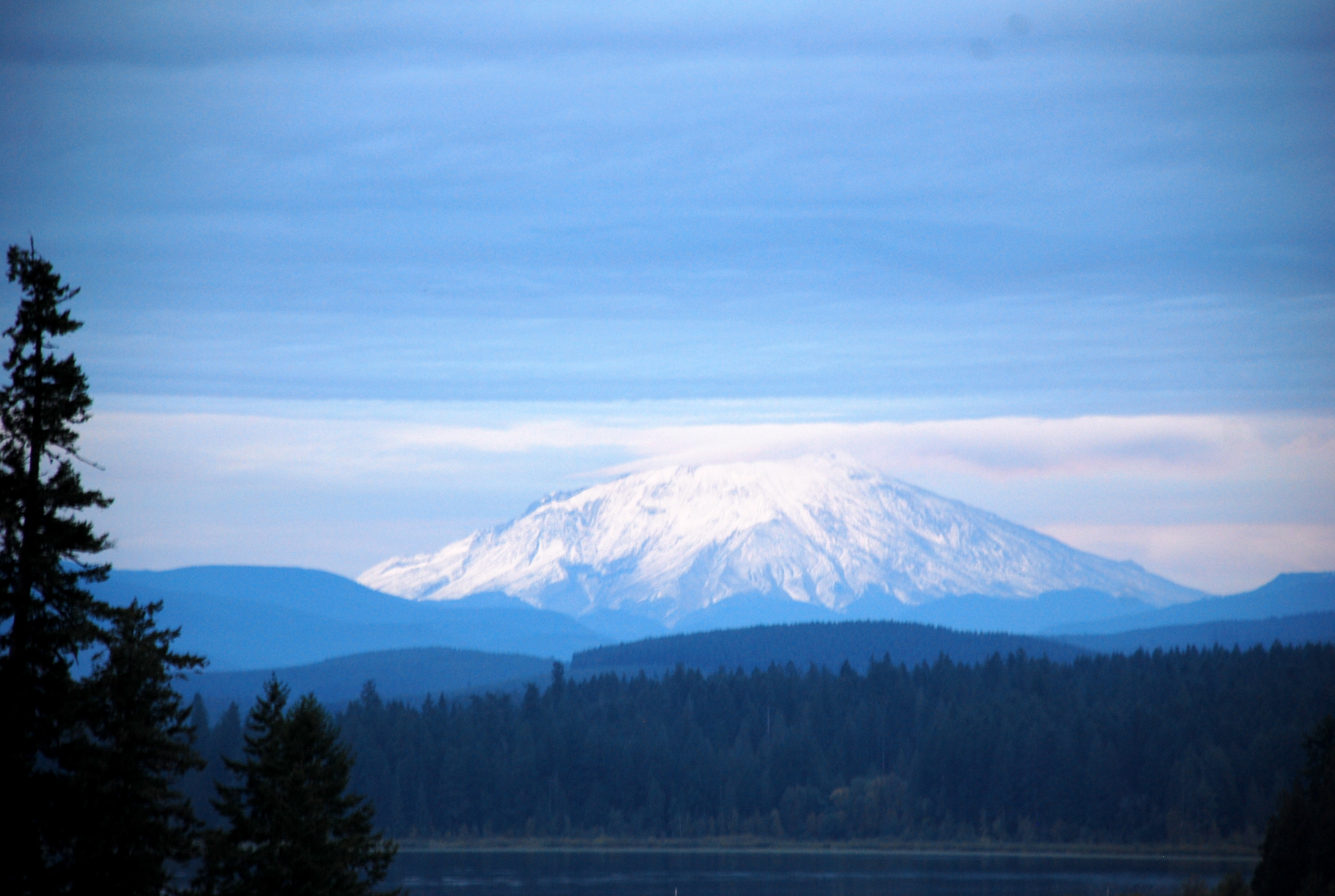
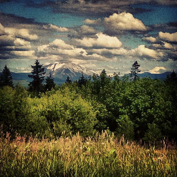
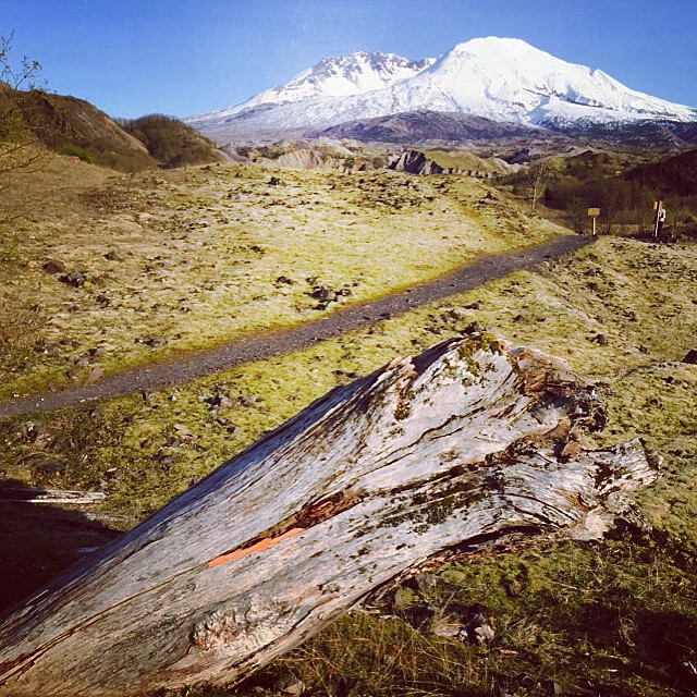
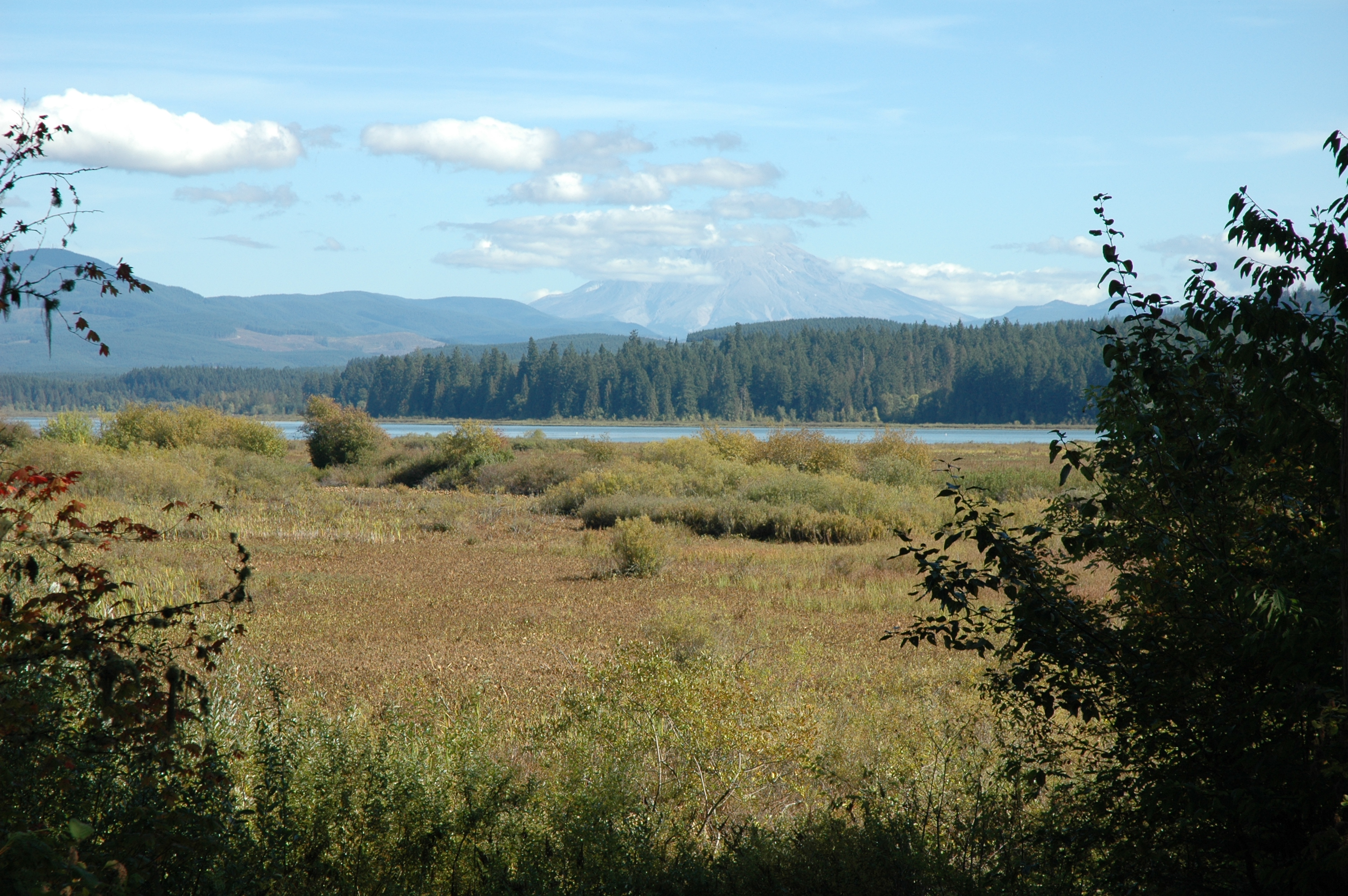
Mount Saint Helens
05-27-2010JohnstonRidgeObservatoryA
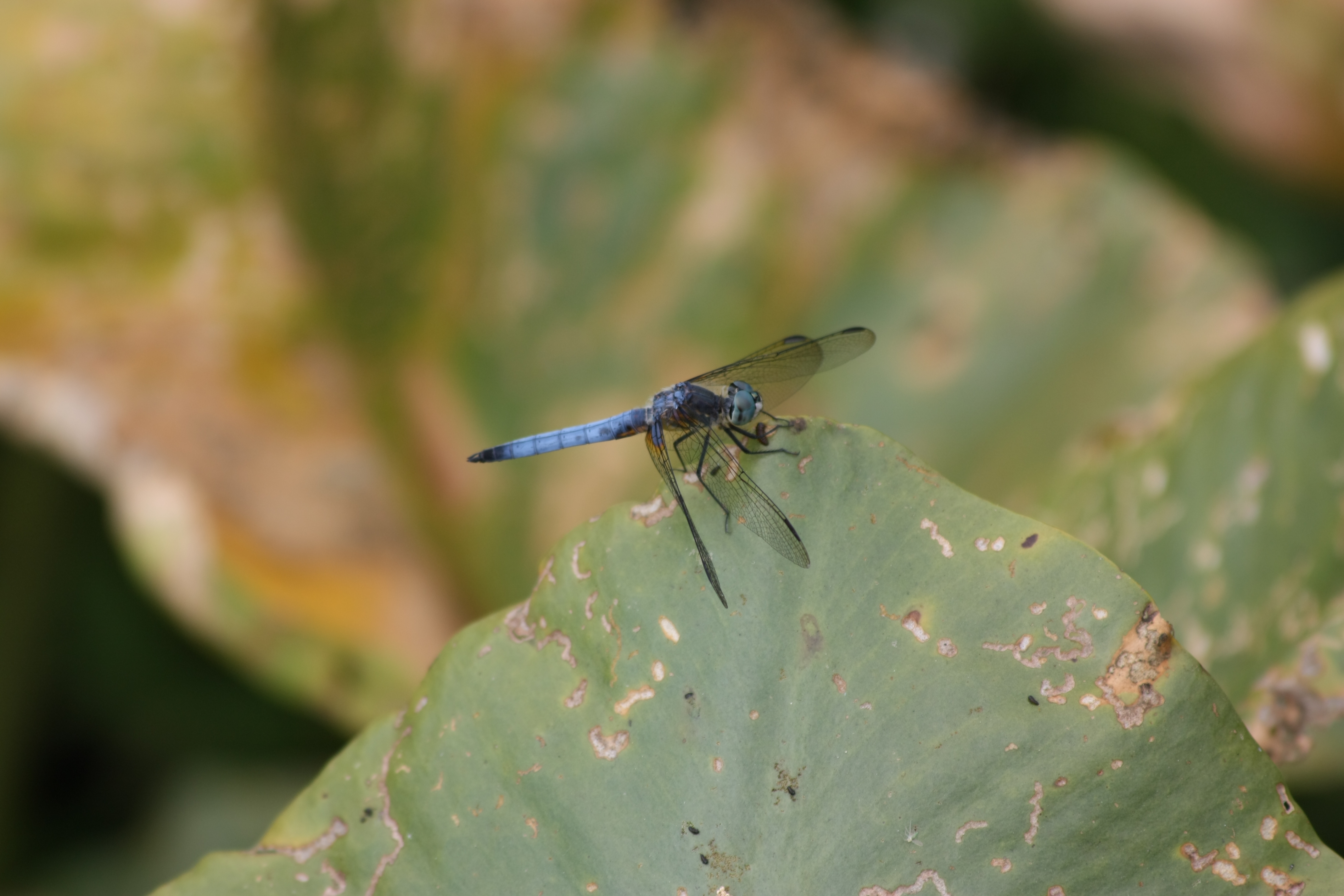
Fly Dragon, fly!
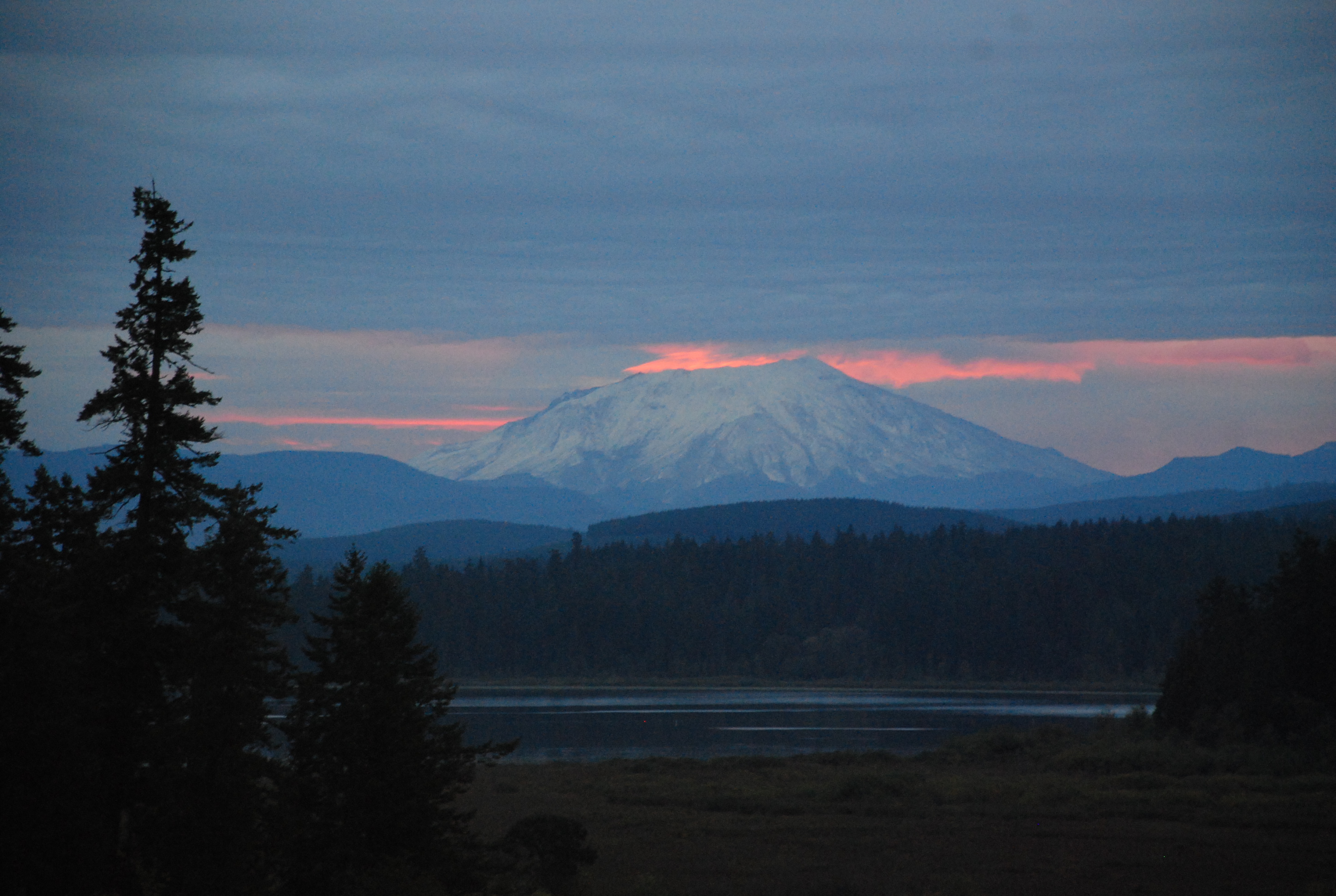
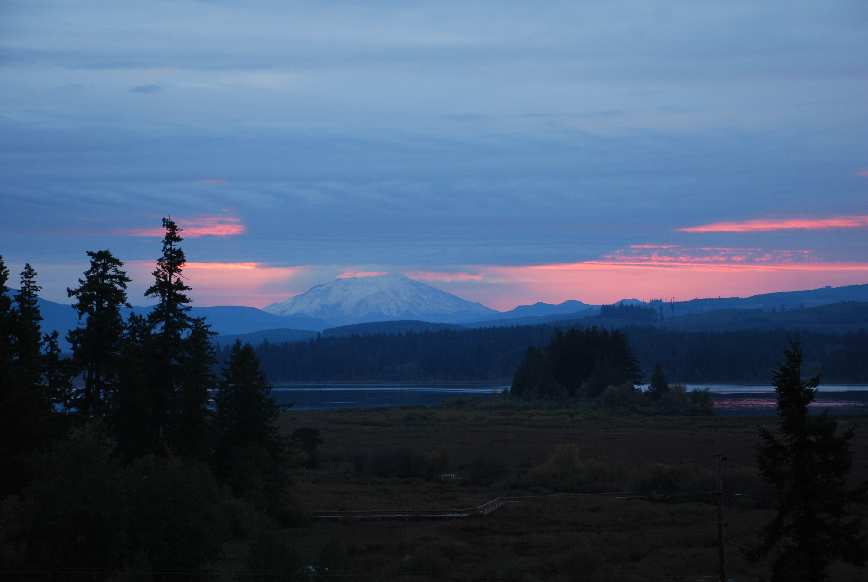
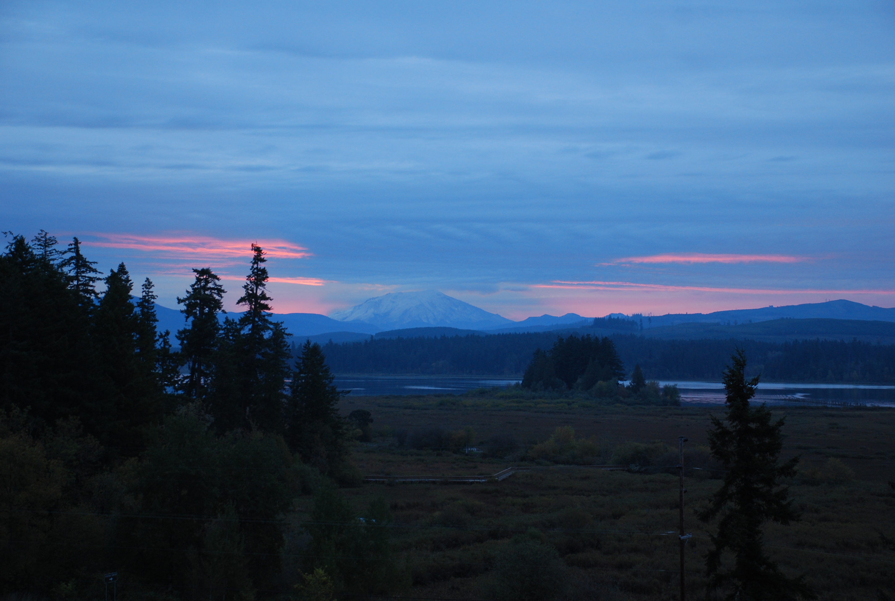
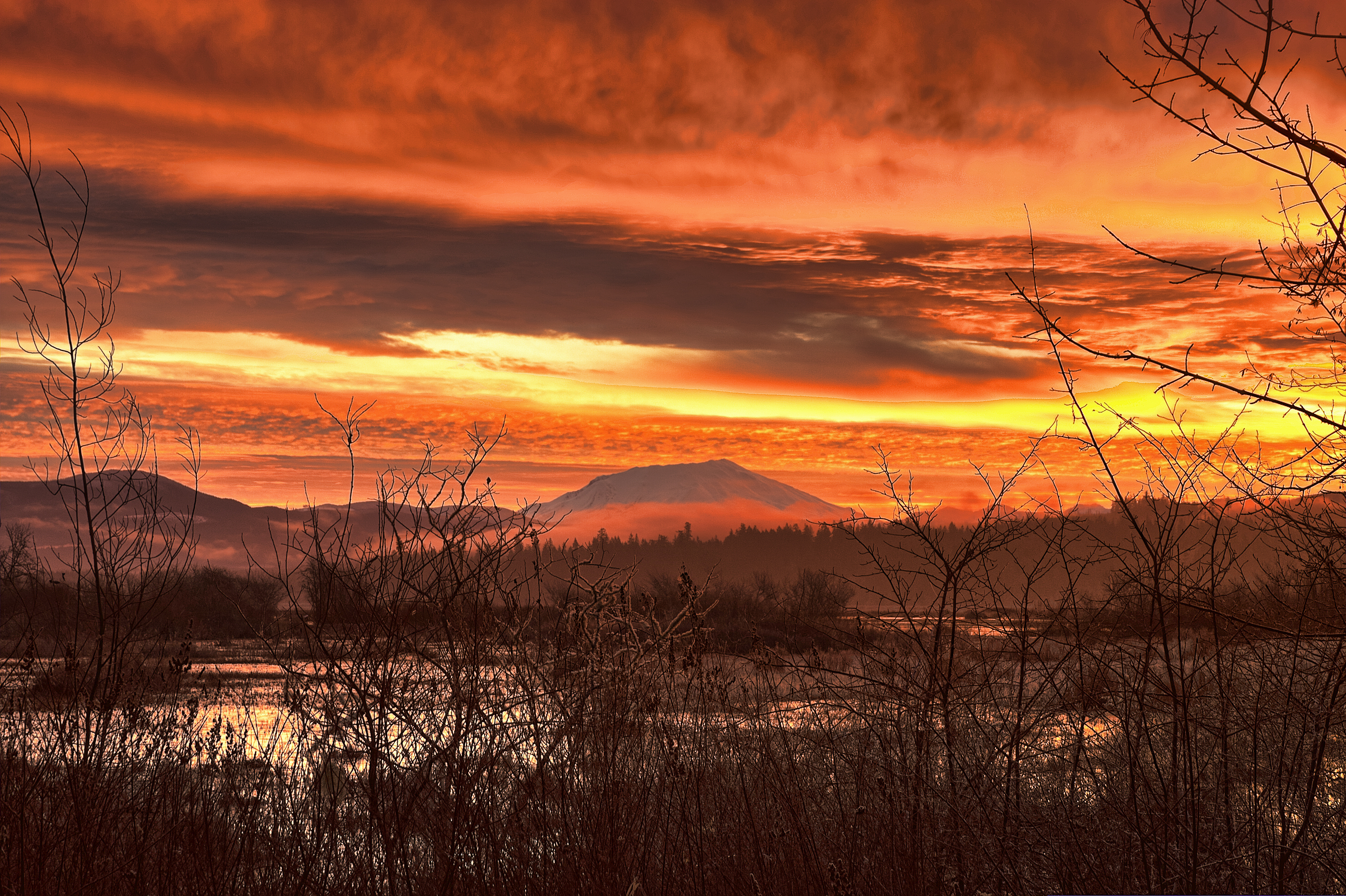
Volcano sunrise 2
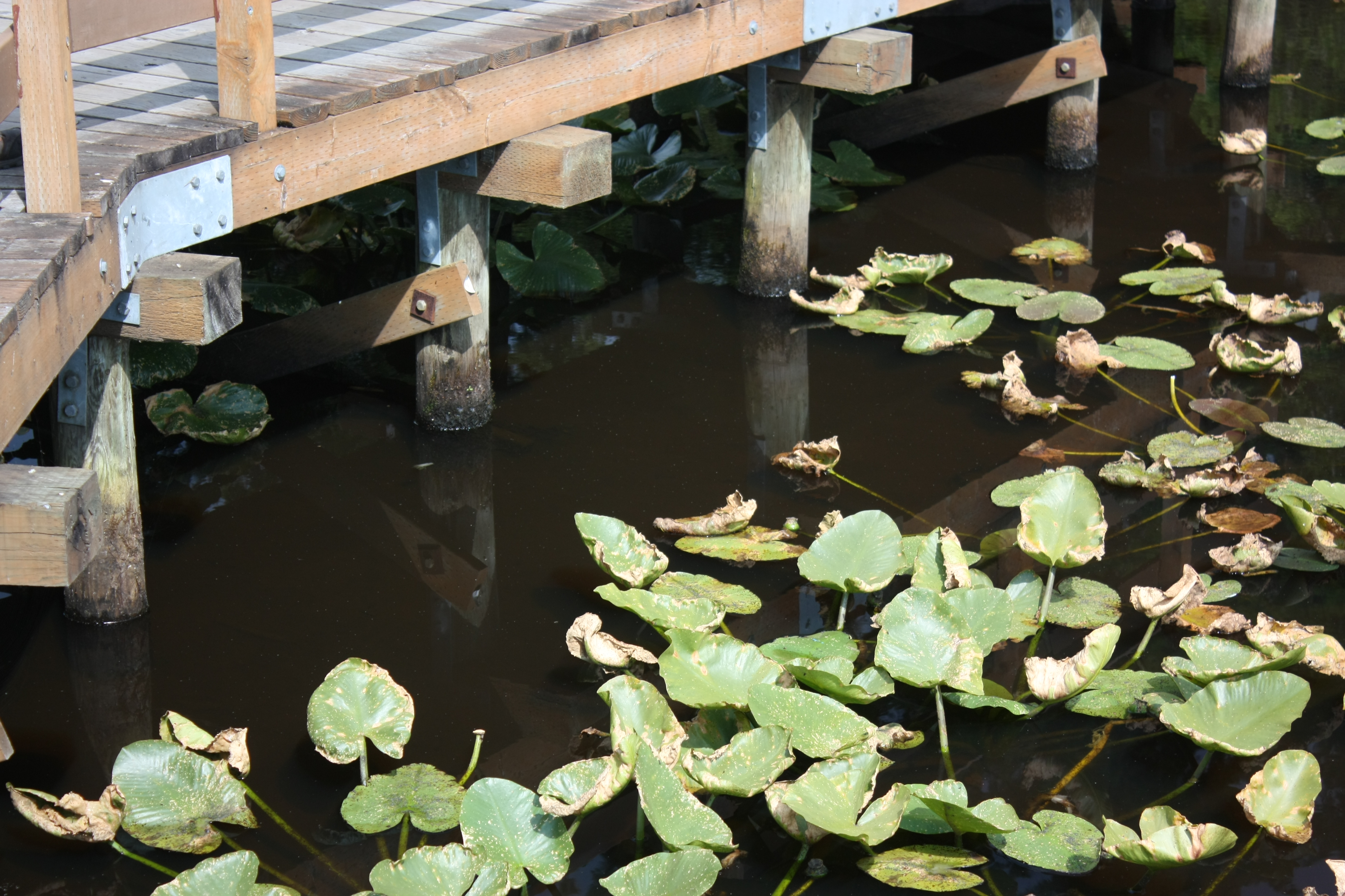
Bridge and Pads
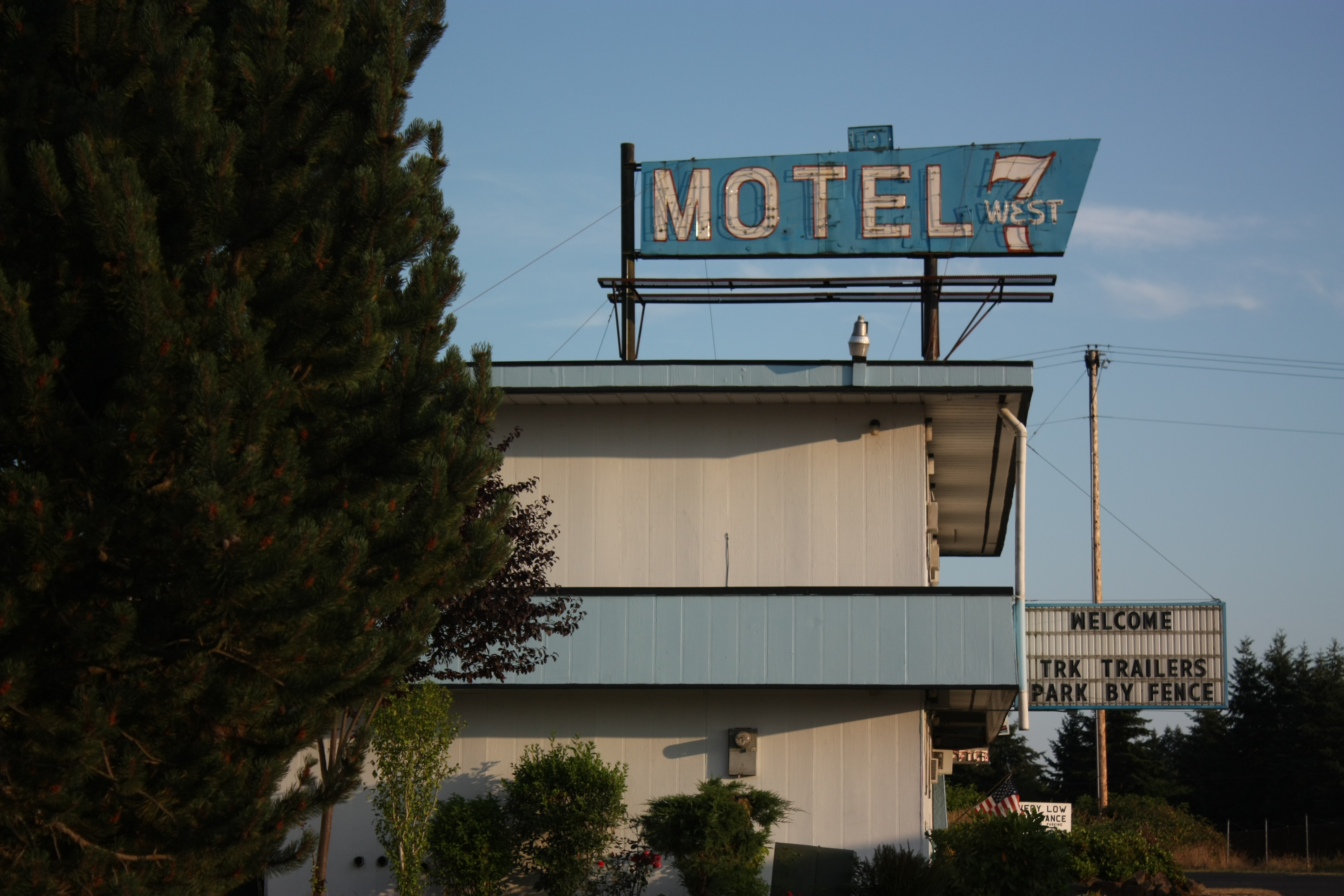
A step up from Motel 6
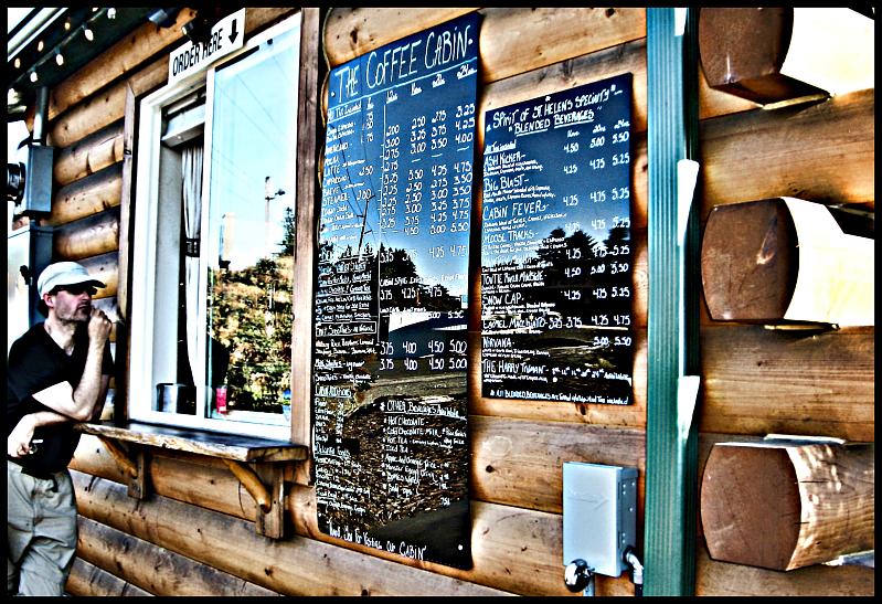
The Coffee Cabin
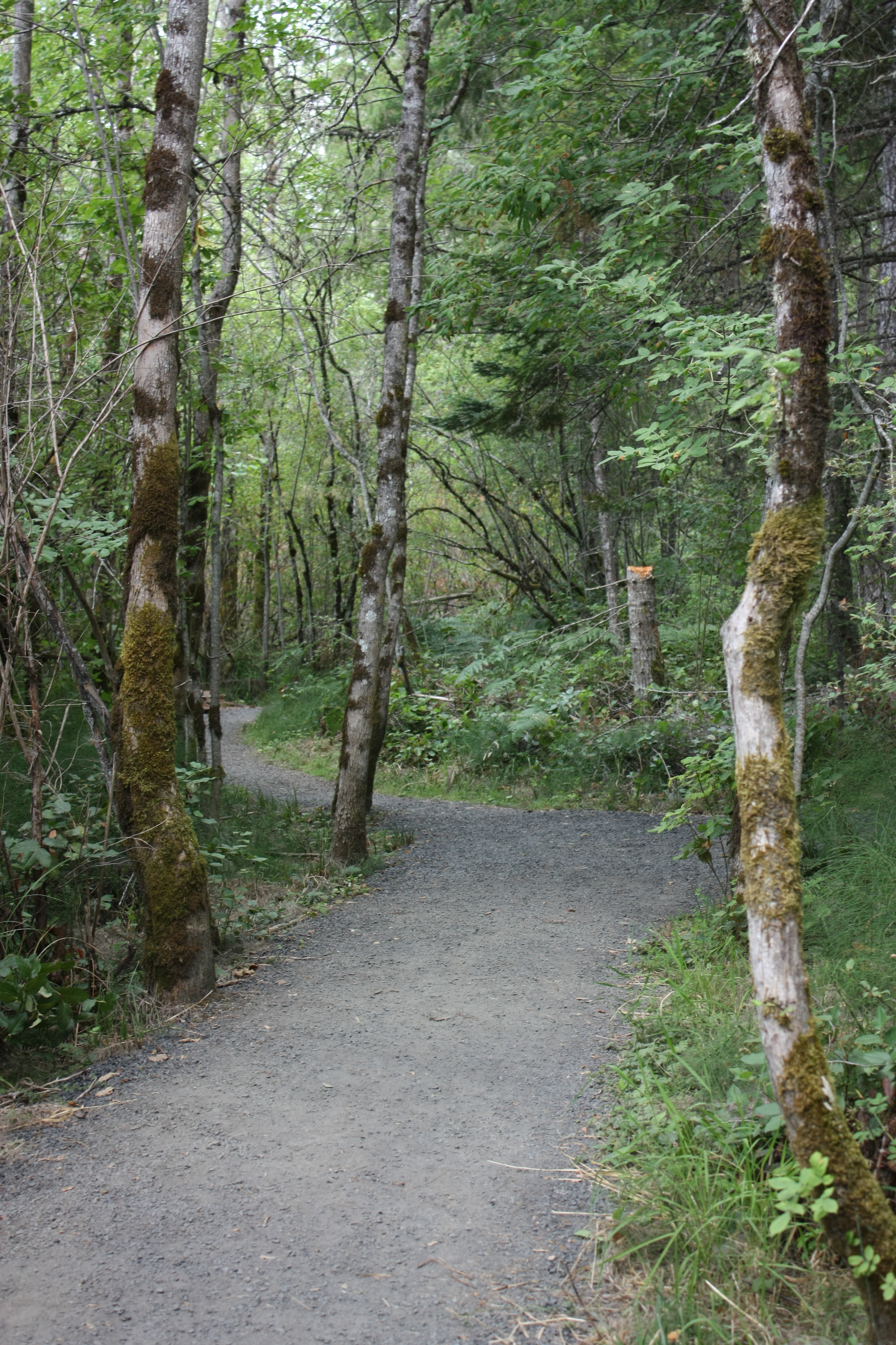
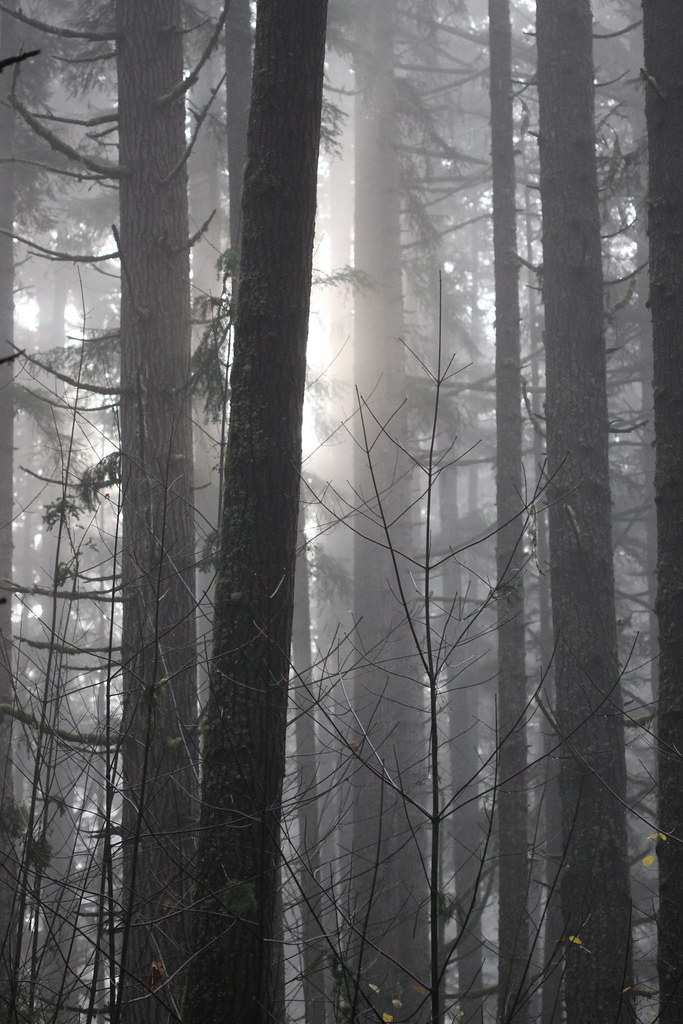
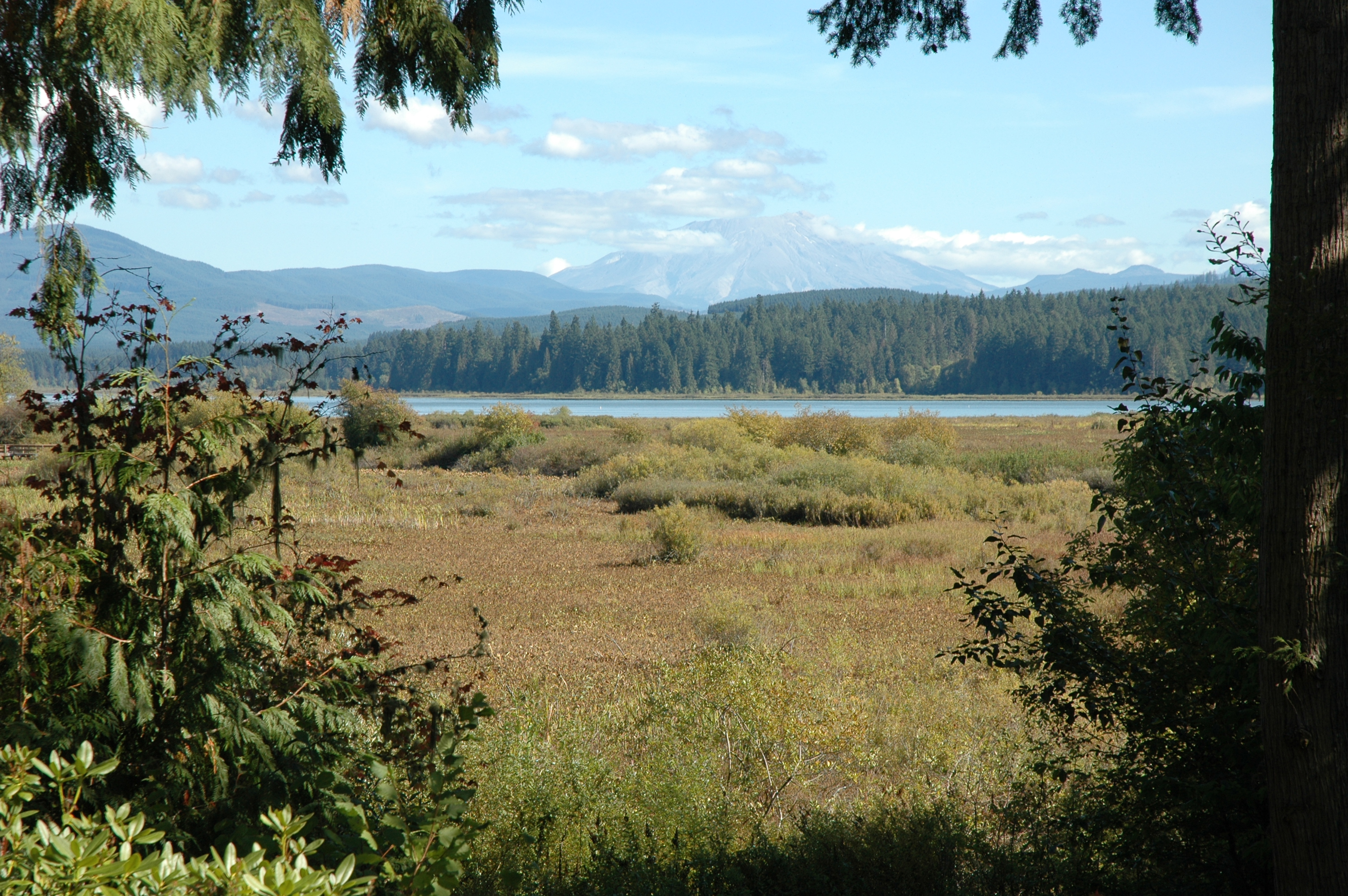
Through the trees

the view from Lacey Rha's Cafe (in the heart of Castle Rock)
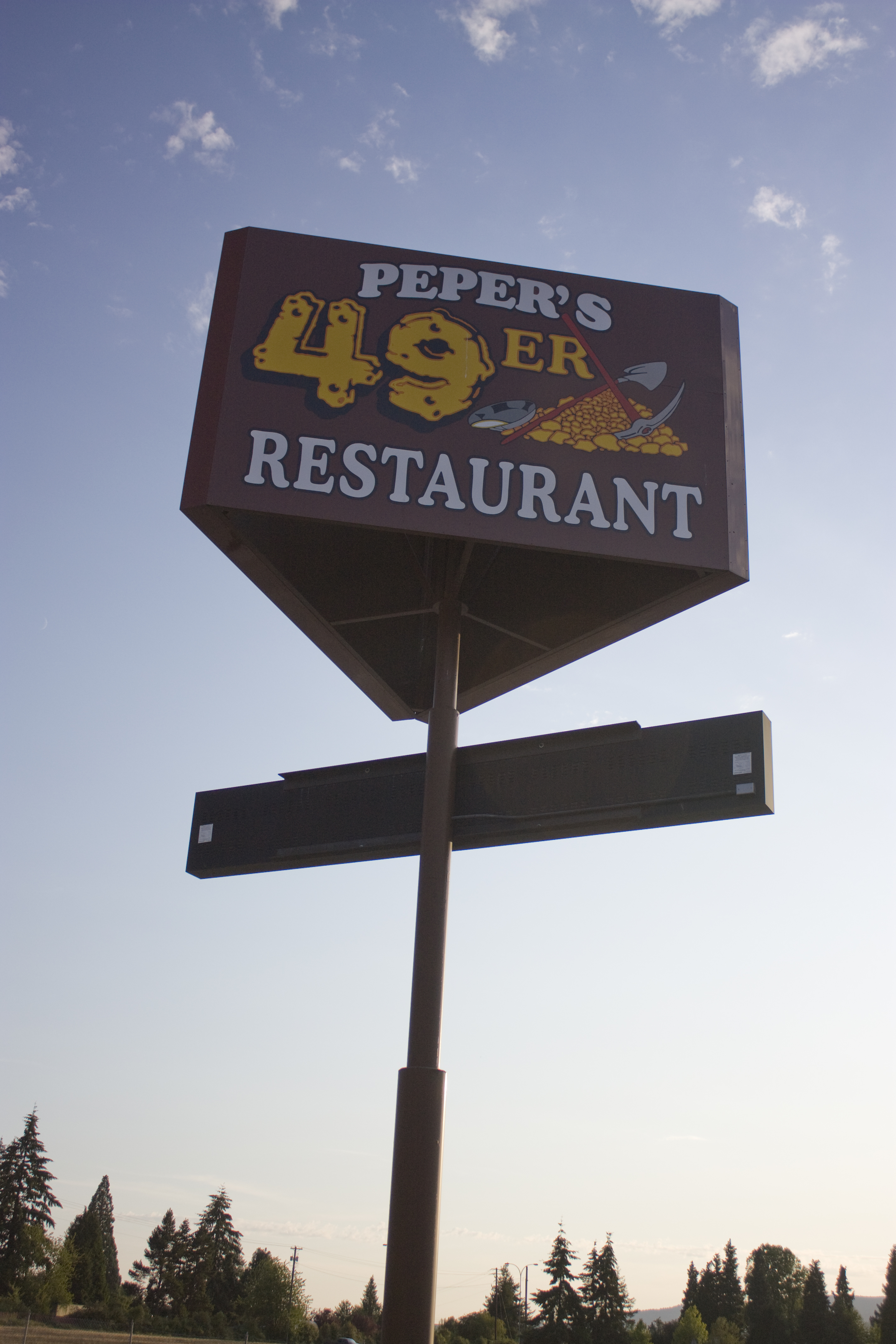
The 49er
Volcano sunrise 10
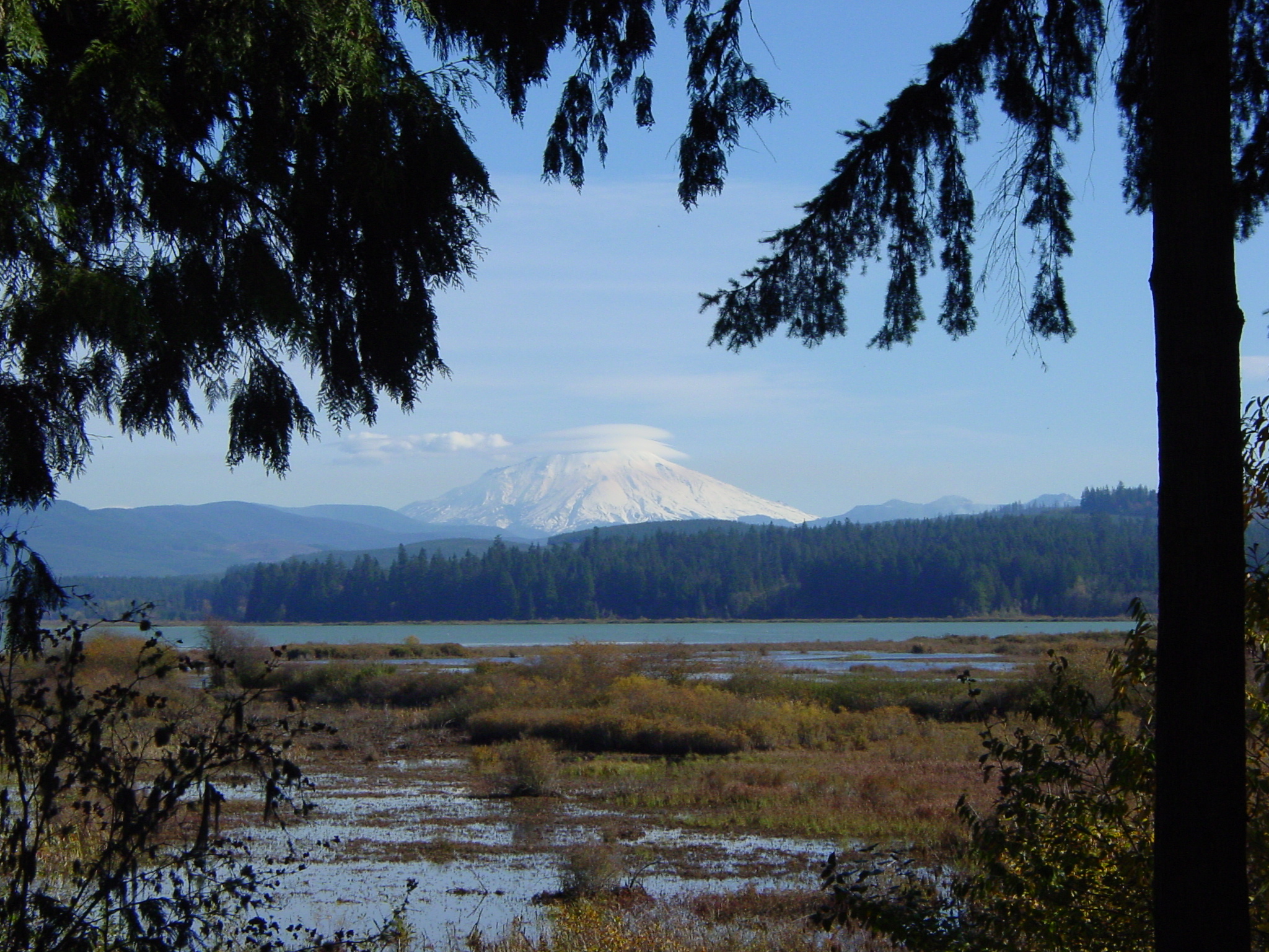
Mount St. Helens

1,500 calories
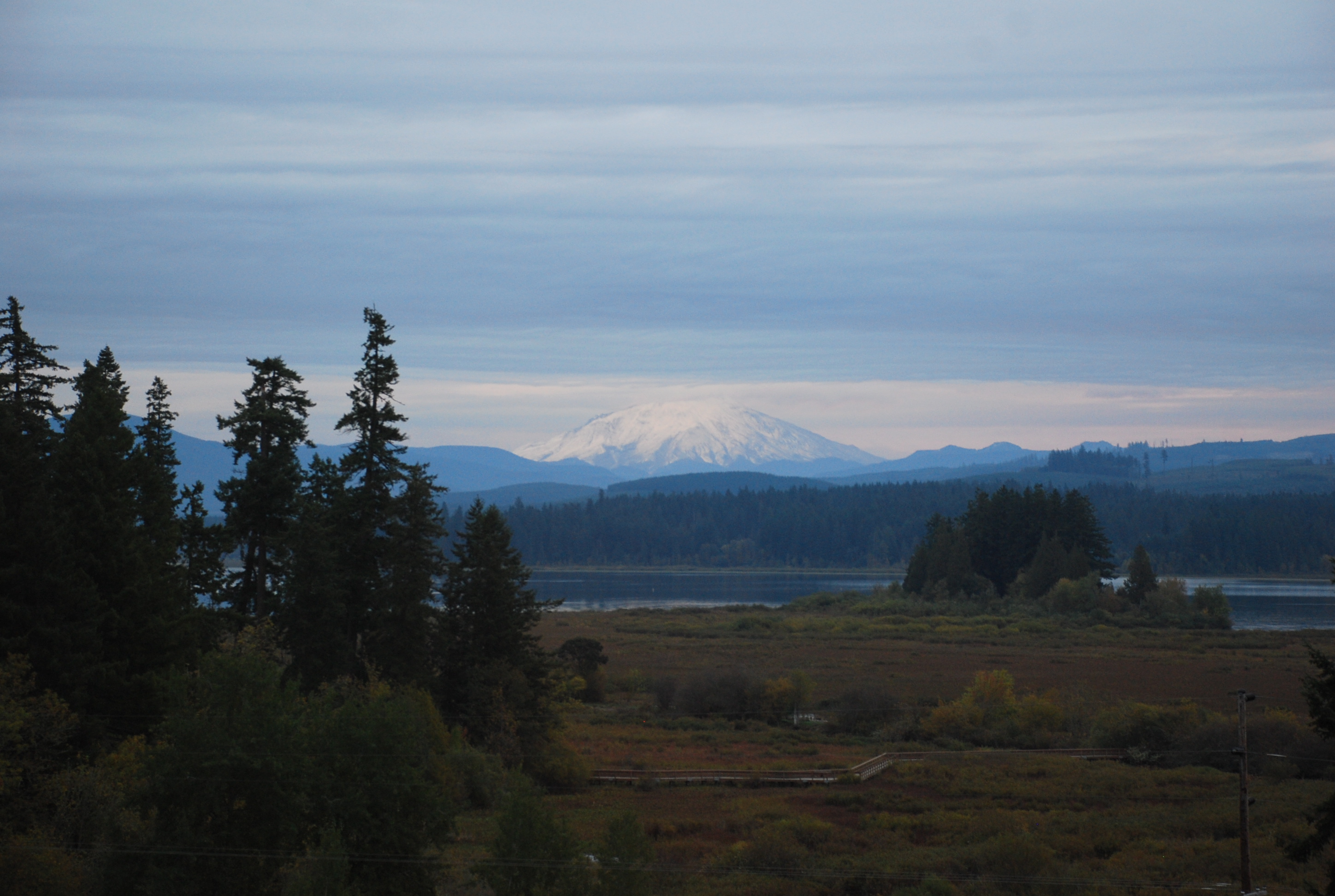
Morning sun
Volcano sunrise 3
Volcano sunrise 8

Mount St. Helens

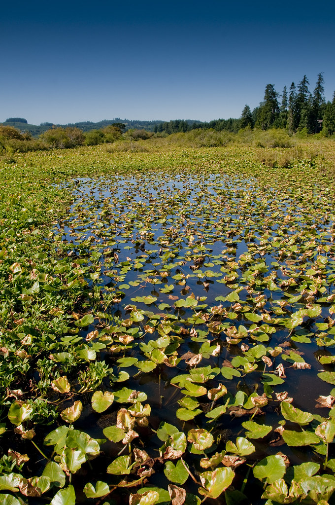
Swamp Flower
Volcano sunrise 9
Mount St. Helens

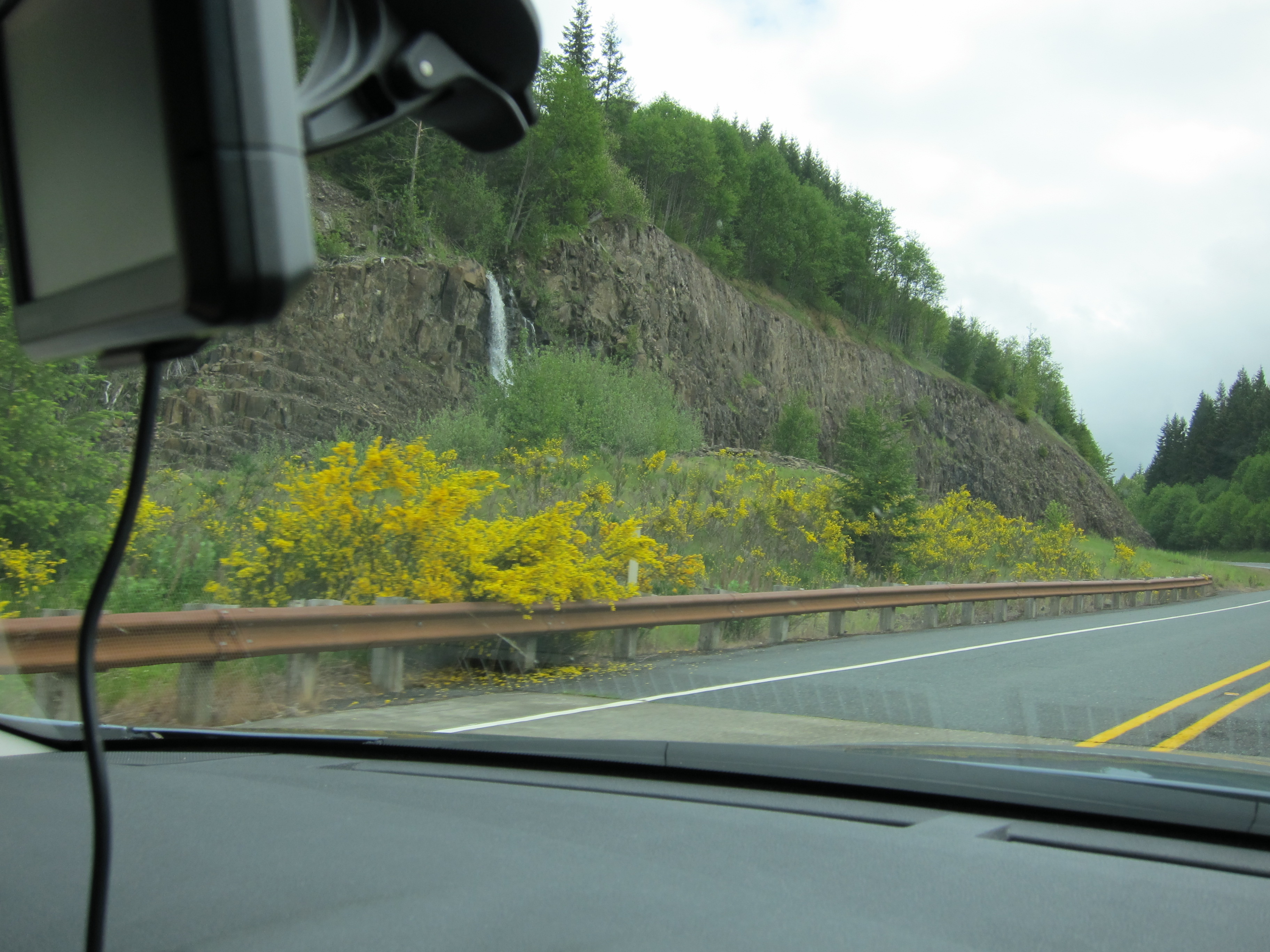
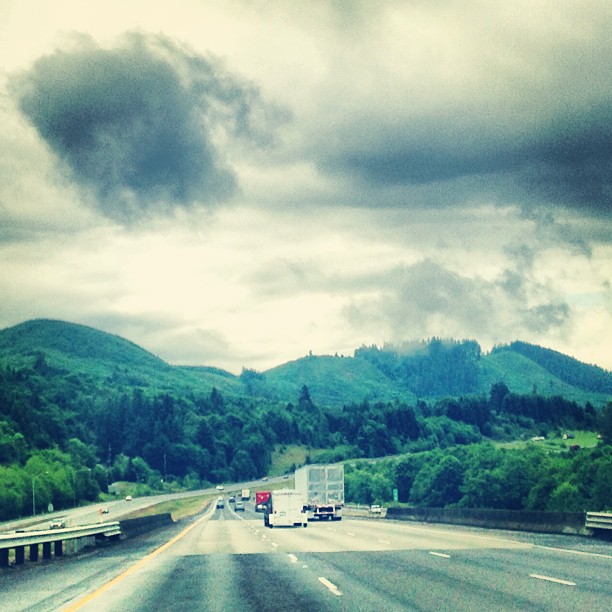
this is my preferred view of I-5

The Mighty Columbia
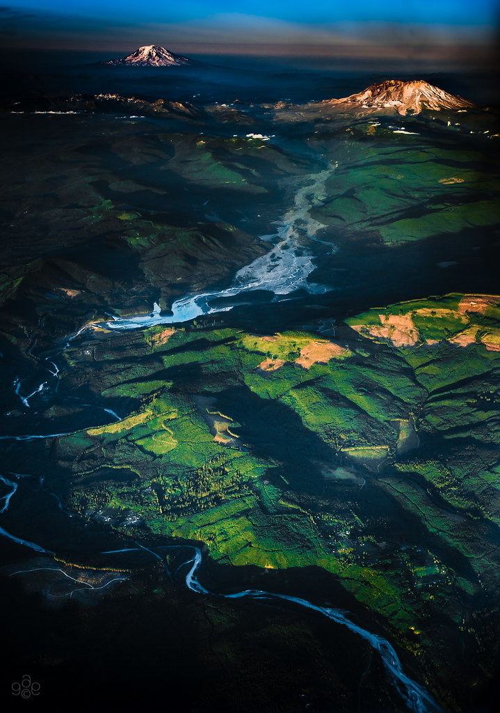
Sighting from St Helens to Adams
Mt St. Helens
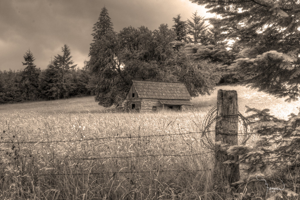
Merchant Road Homestead sepia
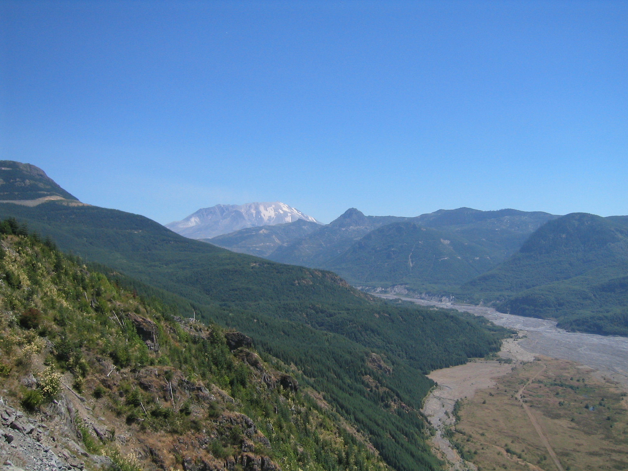
The Toutle River: Mt St Helens' pyroclastic debris drain
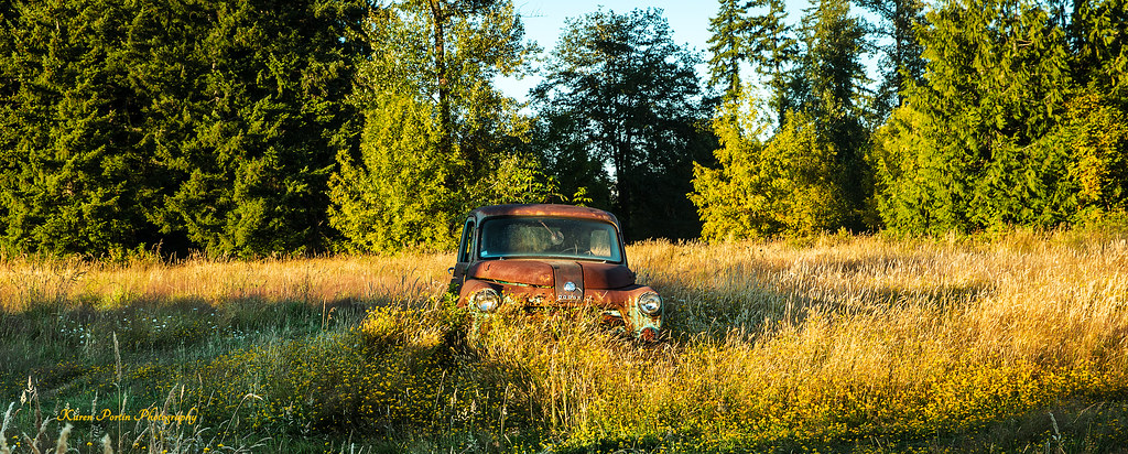
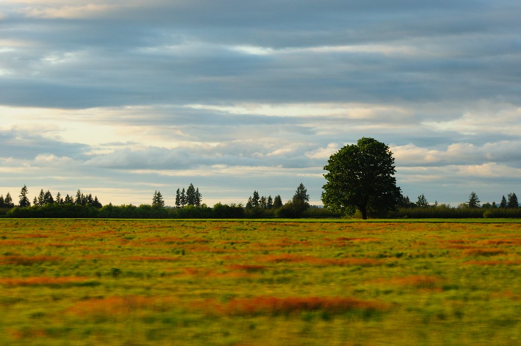
Standing in a Field
Last Sunrise Of 2012
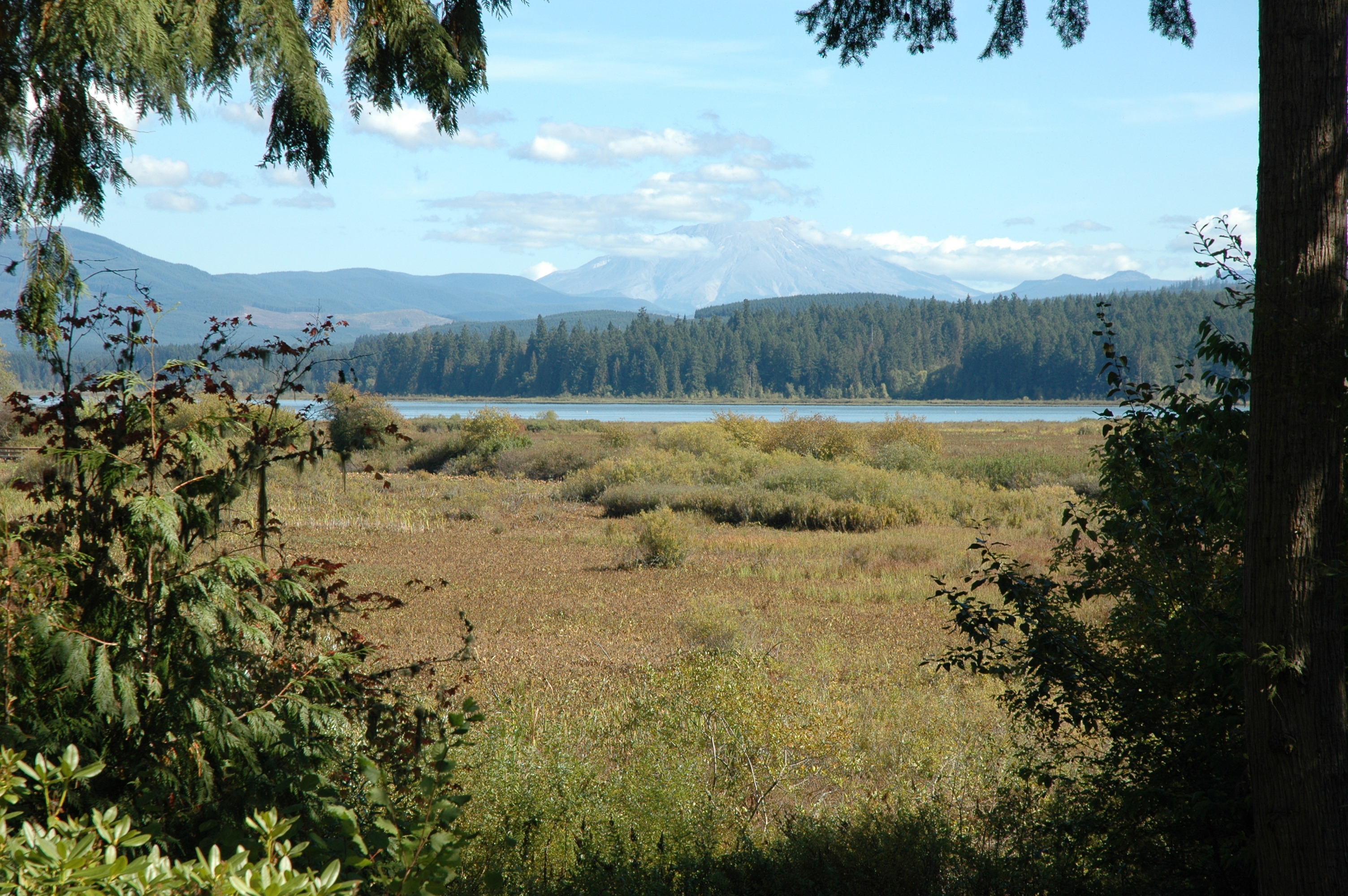
Toutle Valley
#Washington #State

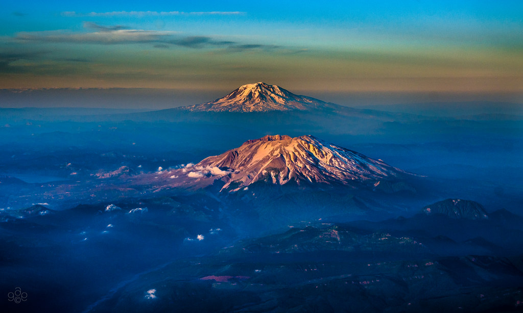
Mt Rainier and Mt St Helens

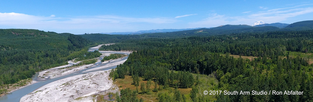
North fork of the Toutle and Rainier
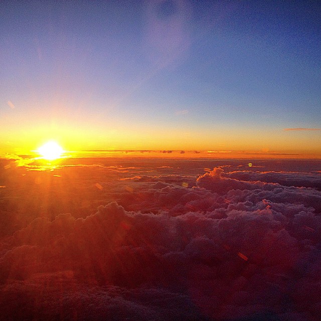
Sunset over the Pacific Northwest #headedhome
Come for the magma, stay for the lava #hummocks #debris #avalanche #mtsainthelens #volcano
in the morning
Mount Saint Helens
Mount Saint Helens Visitor Center 002
Mount Saint Helens Visitor Center 005
Mount Saint Helens Visitor Center 003
55 mph Landscape Photography

Fozzie facing Mt St Helens (not shown)
Topographic Map of Cowlitz River, Washington, USA
Find elevation by address:

Places near Cowlitz River, Washington, USA:
51 Waldon Is, Silver Lake, WA, USA
Jennings Drive
Silver Lake
Easy Street Road
Goat Is, Silver Lake, WA, USA
Spirit Lake Hwy, Silver Lake, WA, USA
220 Paine Rd
Paine Road
102 Stankey Rd
108 Rodgers Rd
216 Hansen Rd
95 Woodard Rd
Toutle Lake High School And Elementary
Spirit Lake Hwy, Toutle, WA, USA
160 Frye Rd
Toutle
866 Schaffran Rd
495 Toutle River Rd
2280 S Silver Lake Rd
169 Riverview Dr
Recent Searches:
- Elevation of Corso Fratelli Cairoli, 35, Macerata MC, Italy
- Elevation of Tallevast Rd, Sarasota, FL, USA
- Elevation of 4th St E, Sonoma, CA, USA
- Elevation of Black Hollow Rd, Pennsdale, PA, USA
- Elevation of Oakland Ave, Williamsport, PA, USA
- Elevation of Pedrógão Grande, Portugal
- Elevation of Klee Dr, Martinsburg, WV, USA
- Elevation of Via Roma, Pieranica CR, Italy
- Elevation of Tavkvetili Mountain, Georgia
- Elevation of Hartfords Bluff Cir, Mt Pleasant, SC, USA