Elevation of Tonstad, Norway
Location: Norway > Vest-agder > Sirdal >
Longitude: 6.7169483
Latitude: 58.6626308
Elevation: 68m / 223feet
Barometric Pressure: 101KPa
Elevation Map:
Satellite Map:
Related Photos:

A different point of view
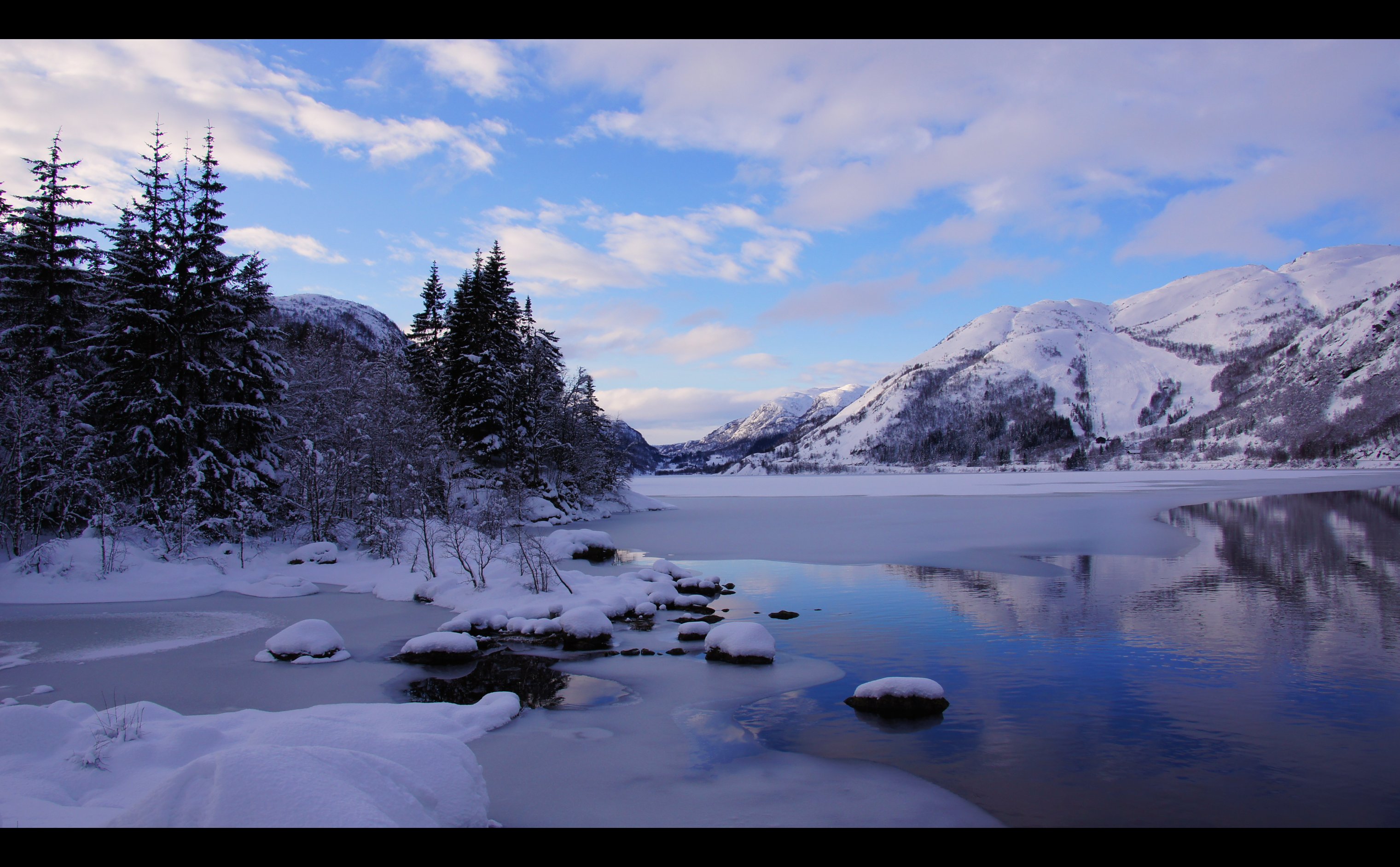
White & Blue Winter...
Rusdal #189
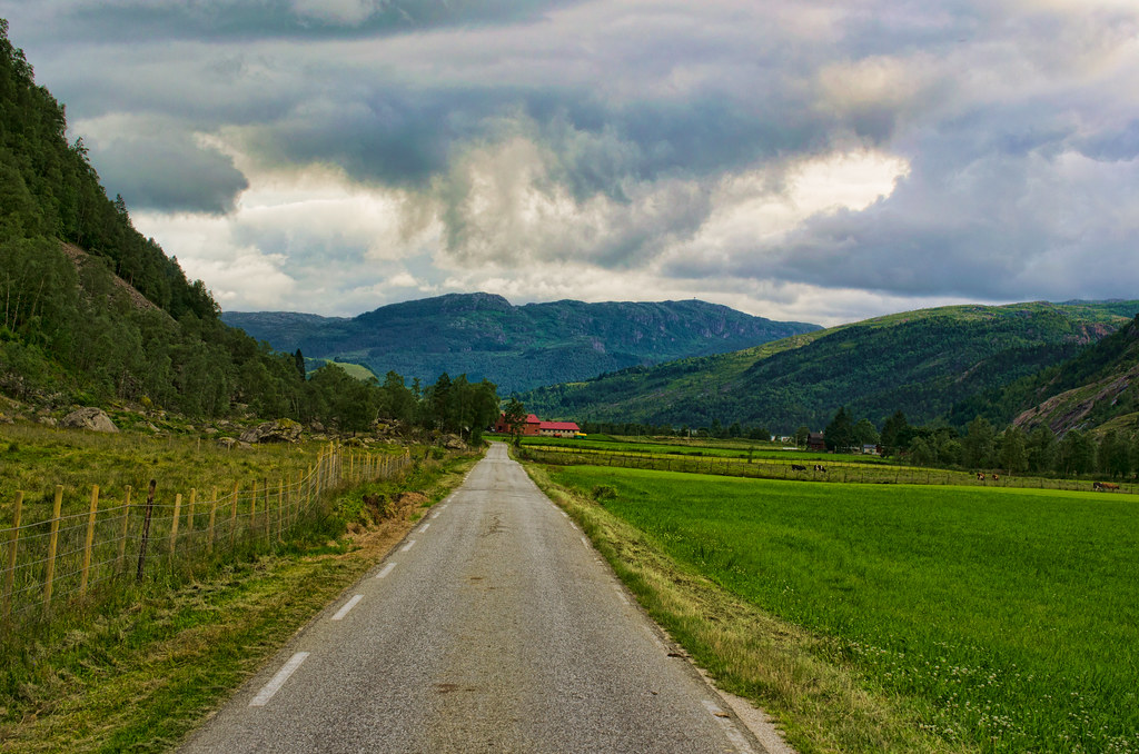
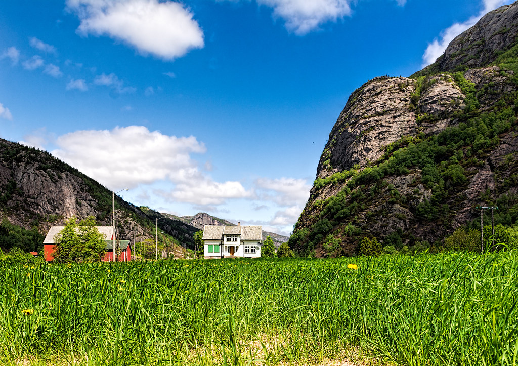
Lindeland, Sirdal
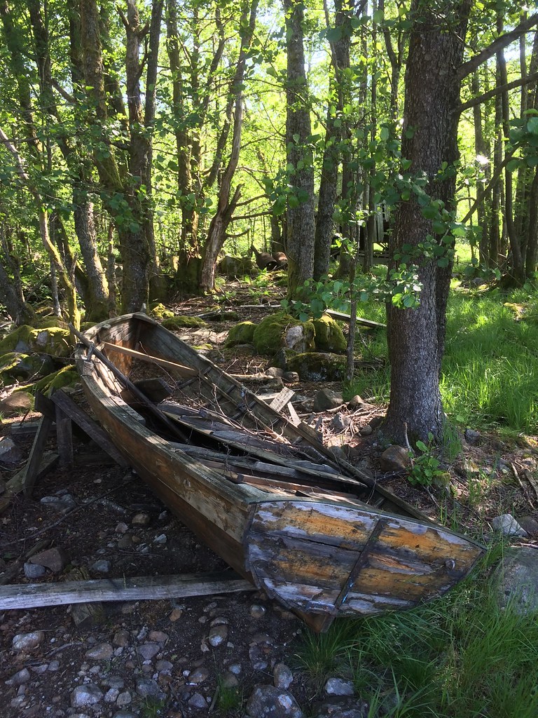
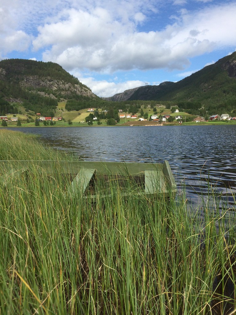
Prammen -|- Decaying boat

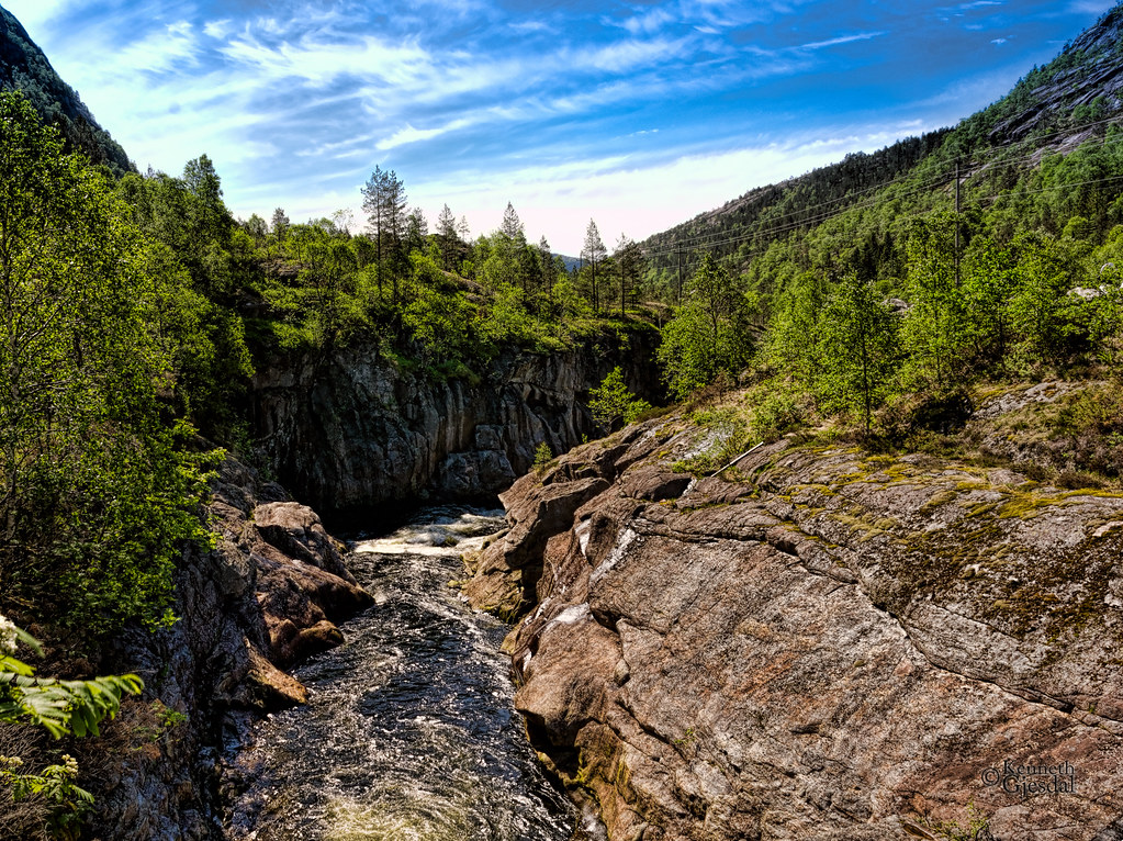
IR waterfall
Skies vs Water...
Love the look of these old houses

Finsådammen
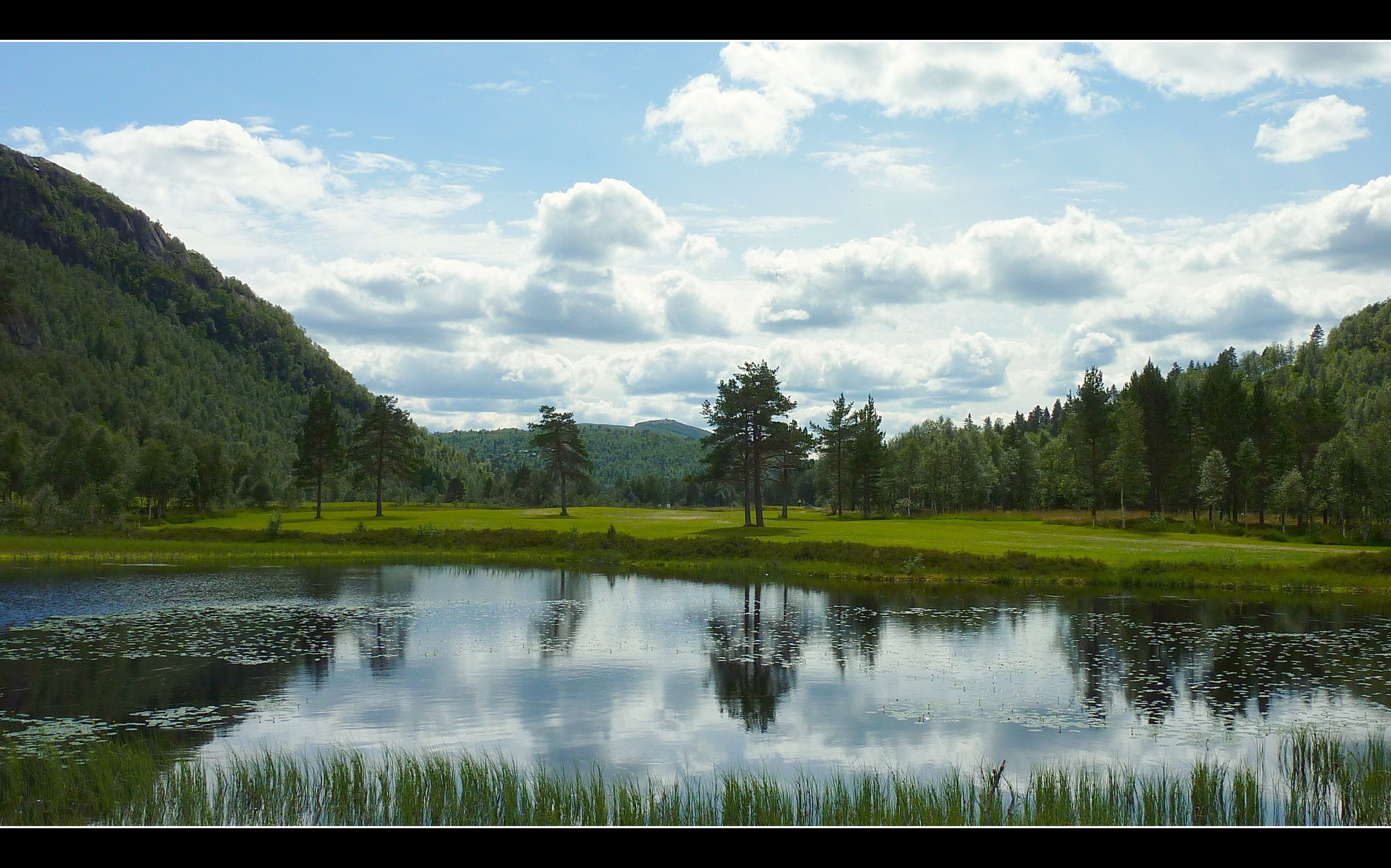
Vatnidyll -|- Little lake
Topographic Map of Tonstad, Norway
Find elevation by address:

Places near Tonstad, Norway:
Sirdal
Rv45, Dirdal, Norway
Kvinlog
Lund
Sinnes
Kvinesdal
Sinnes
Fjotland
Vest-agder
Flekkefjord
Grønnes 38, Flekkefjord, Norway
Fv, Dirdal, Norway
Månafossen
Kjerag
Fv 20, Tjørhom, Norway
Fv, Feda, Norway
Eigeland
Forsand
Fv14 10, Ualand, Norway
Gjesdal
Recent Searches:
- Elevation of Corso Fratelli Cairoli, 35, Macerata MC, Italy
- Elevation of Tallevast Rd, Sarasota, FL, USA
- Elevation of 4th St E, Sonoma, CA, USA
- Elevation of Black Hollow Rd, Pennsdale, PA, USA
- Elevation of Oakland Ave, Williamsport, PA, USA
- Elevation of Pedrógão Grande, Portugal
- Elevation of Klee Dr, Martinsburg, WV, USA
- Elevation of Via Roma, Pieranica CR, Italy
- Elevation of Tavkvetili Mountain, Georgia
- Elevation of Hartfords Bluff Cir, Mt Pleasant, SC, USA