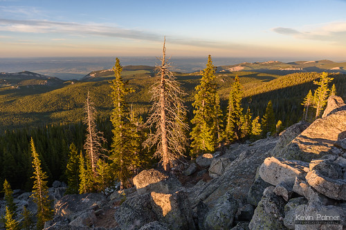
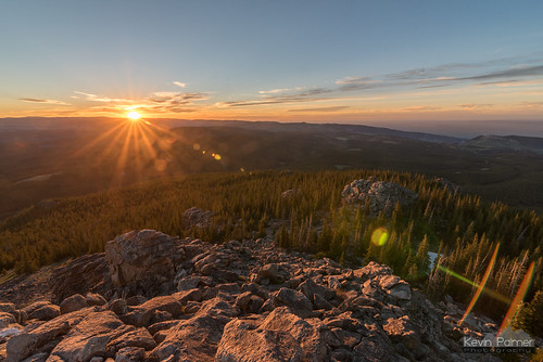
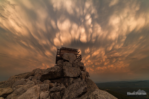
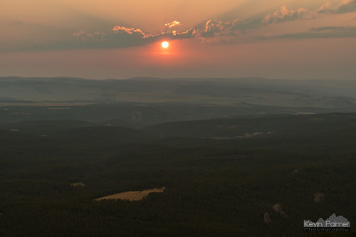
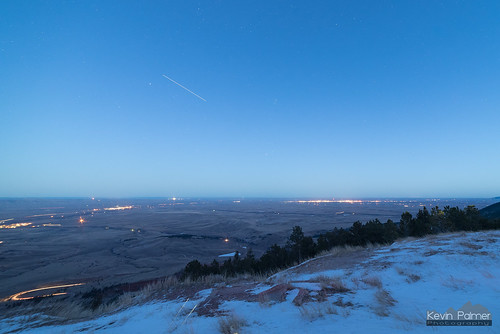
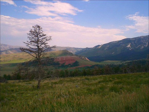
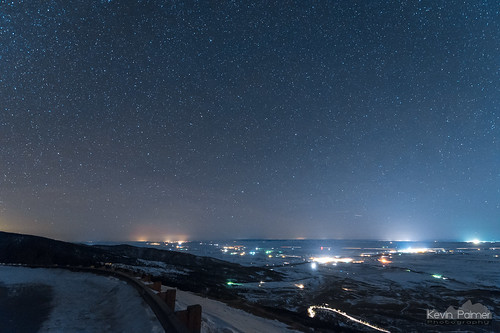
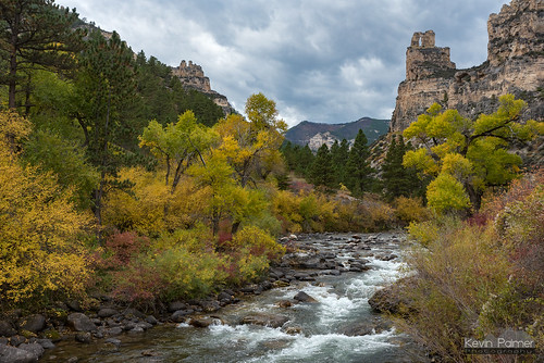
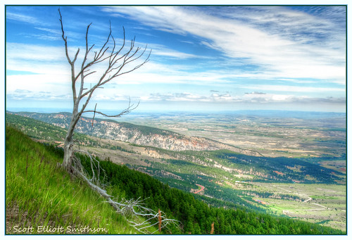
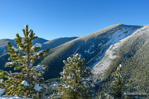
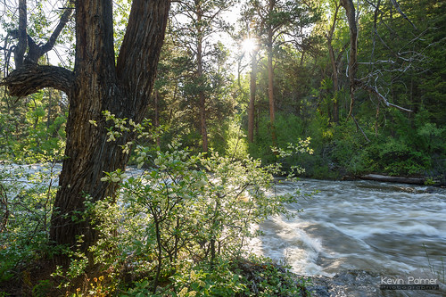
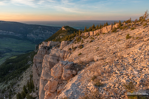
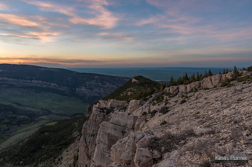
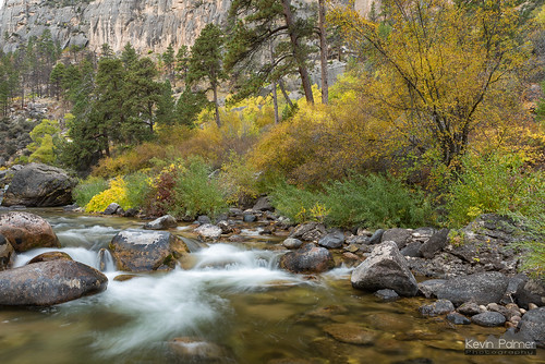
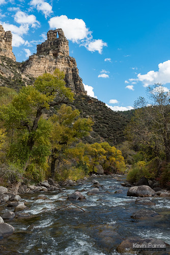
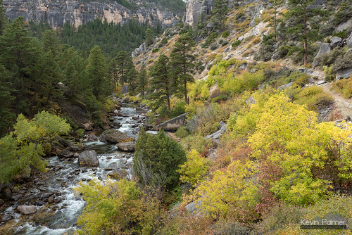
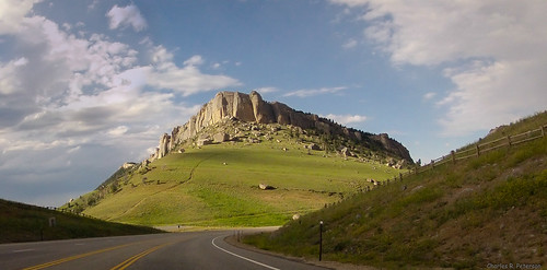
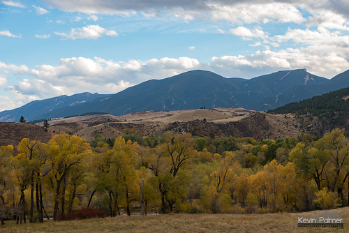
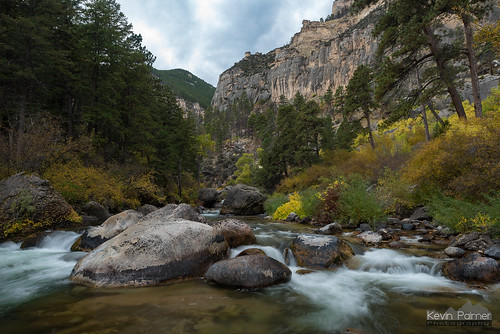
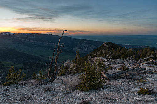
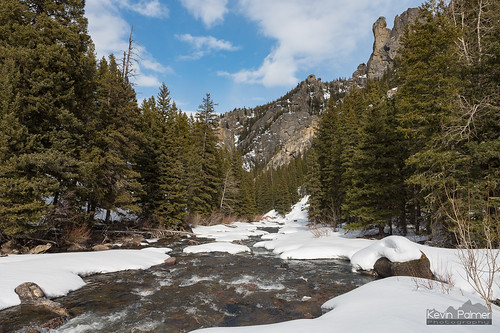
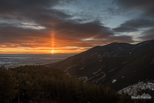
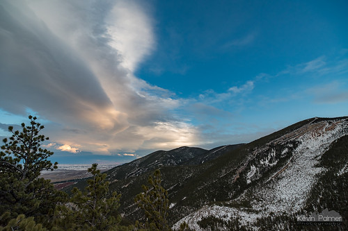
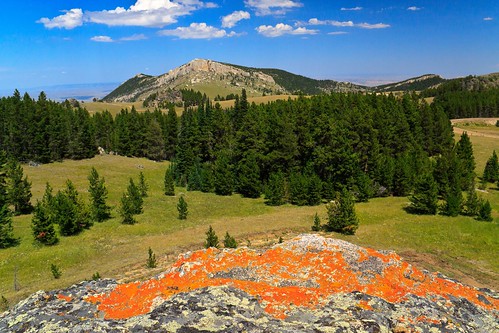
Elevation of Tongue Canyon Rd, Wolf, WY, USA
Location: United States > Wyoming > Sheridan County >
Longitude: -107.30112
Latitude: 44.8547194
Elevation: 1233m / 4045feet
Barometric Pressure: 87KPa
Related Photos:
Topographic Map of Tongue Canyon Rd, Wolf, WY, USA
Find elevation by address:

Places near Tongue Canyon Rd, Wolf, WY, USA:
291 Tongue Canyon Rd
Dayton
Ranchester
Sibley Lake Campground
Prune Creek
Big Goose Rd, Sheridan, WY, USA
Burgess Junction
Bear Lodge Resort
US-14 ALT, Dayton, WY, USA
75 Beaver Creek Rd
44 Monarch Rd, Ranchester, WY, USA
Bighorn National Forest
Kleenburn Rd, Ranchester, WY, USA
Acme Rd, Sheridan, WY, USA
1427 Easy St
63 Decker Rd
Sheridan Ear Nose & Throat
305 Smith St
Sheridan
92 Clubhouse Dr
Recent Searches:
- Elevation of Corso Fratelli Cairoli, 35, Macerata MC, Italy
- Elevation of Tallevast Rd, Sarasota, FL, USA
- Elevation of 4th St E, Sonoma, CA, USA
- Elevation of Black Hollow Rd, Pennsdale, PA, USA
- Elevation of Oakland Ave, Williamsport, PA, USA
- Elevation of Pedrógão Grande, Portugal
- Elevation of Klee Dr, Martinsburg, WV, USA
- Elevation of Via Roma, Pieranica CR, Italy
- Elevation of Tavkvetili Mountain, Georgia
- Elevation of Hartfords Bluff Cir, Mt Pleasant, SC, USA
