Elevation of Bear Lodge Resort, US-14 ALT, Dayton, WY, USA
Location: United States > Wyoming > Sheridan County > Dayton >
Longitude: -107.52801
Latitude: 44.76788
Elevation: 2459m / 8068feet
Barometric Pressure: 75KPa
Elevation Map:
Satellite Map:
Related Photos:

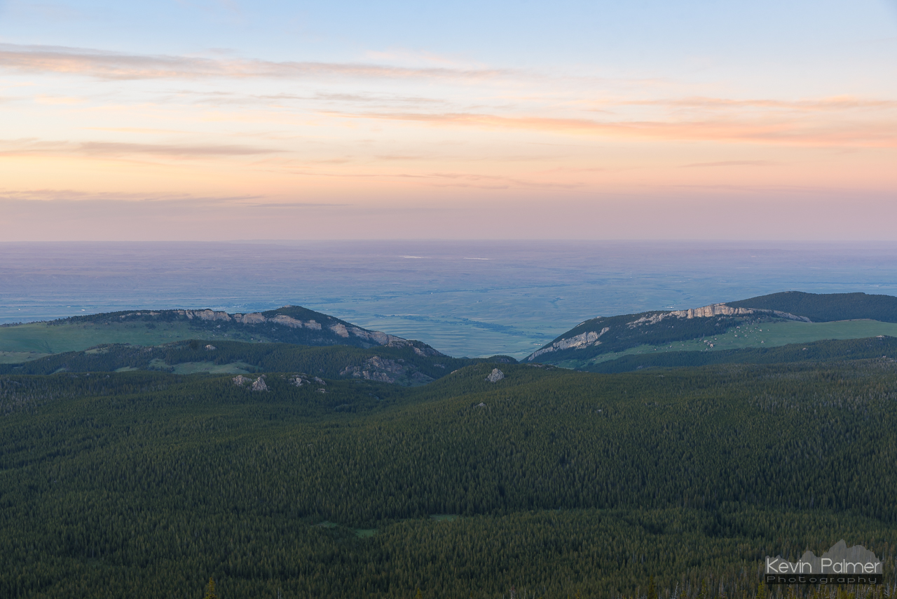
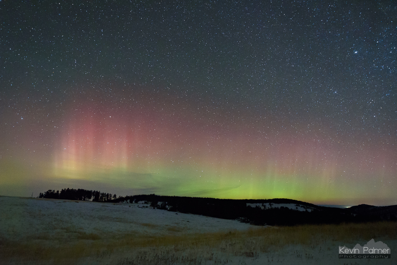
Belt of Venus Rising
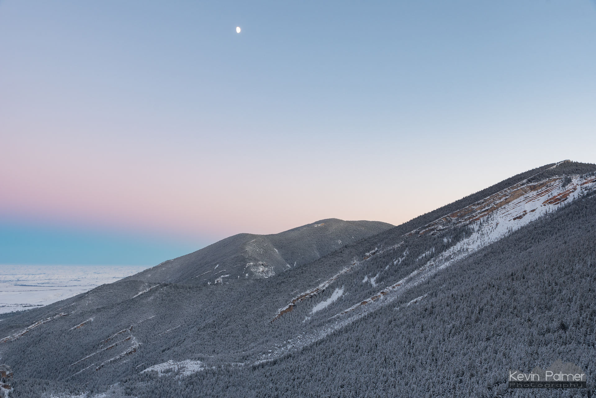
Pastel Sky and Moon
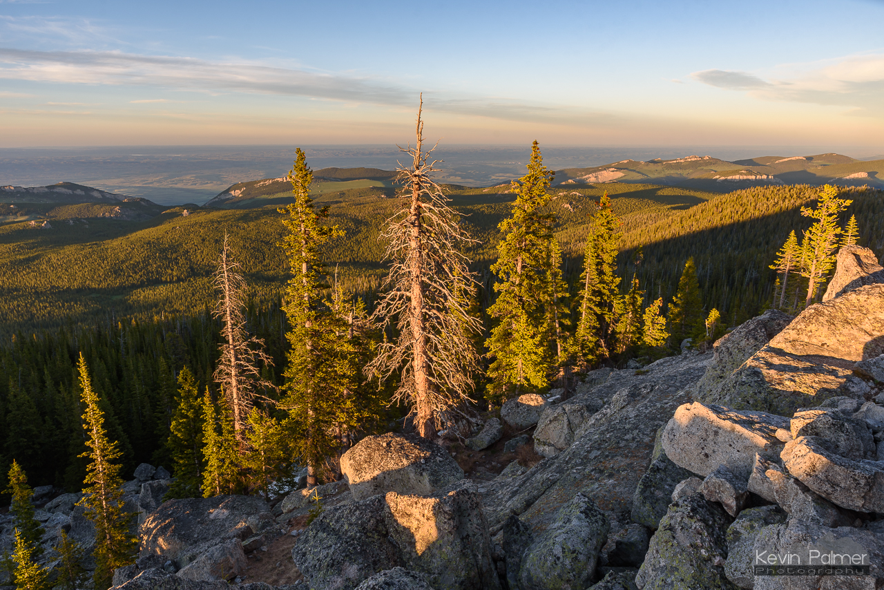
East of the Summit
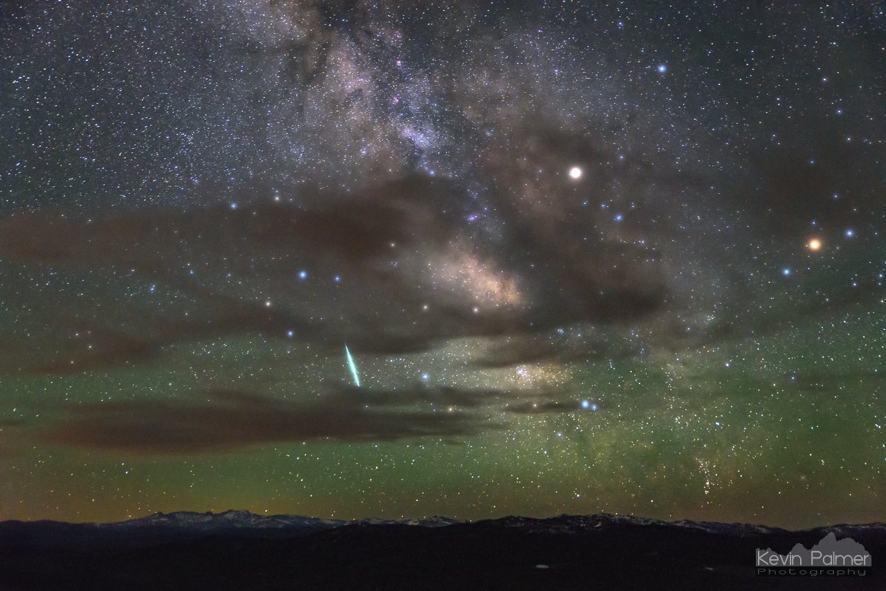
Solstice Meteor
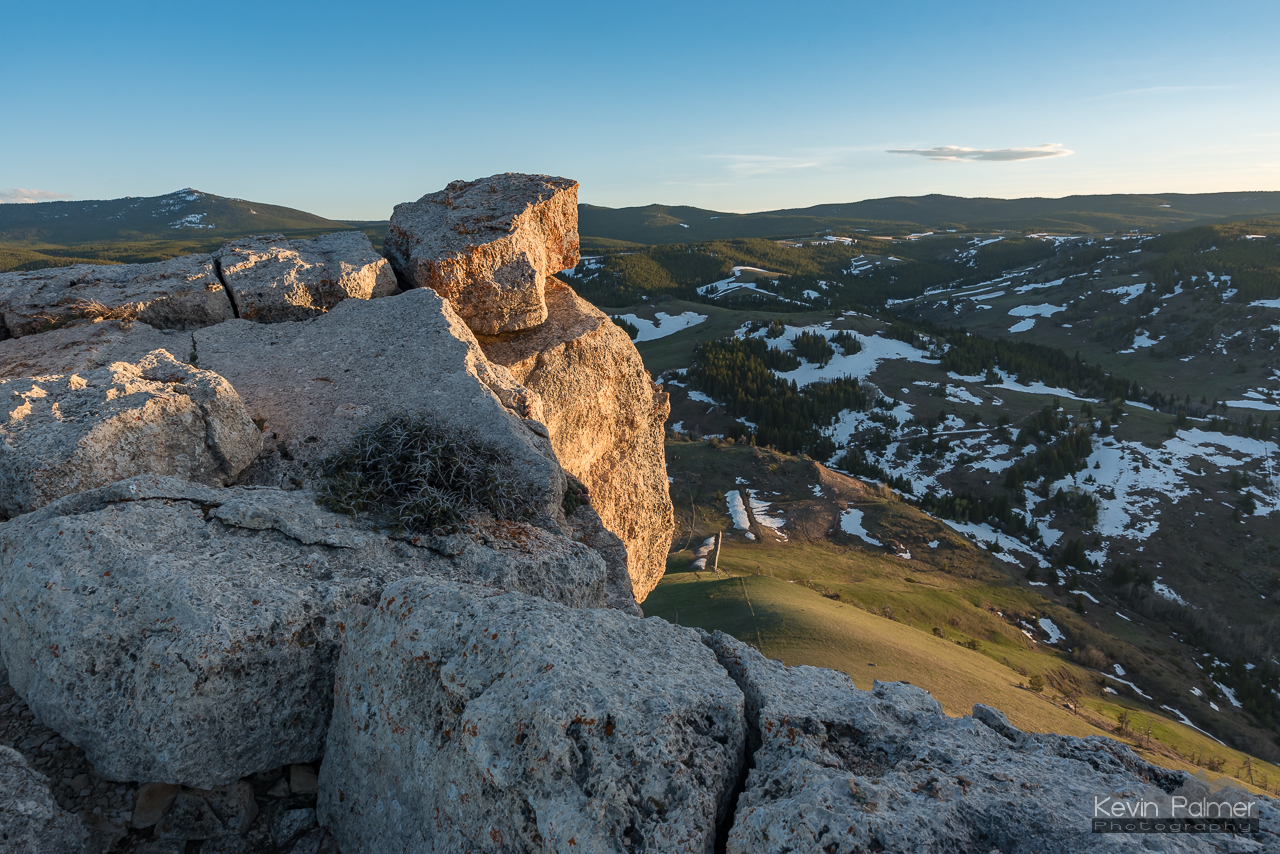
Golden Boulders
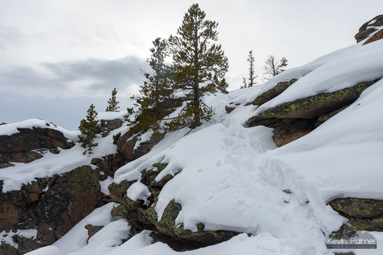
Steamboat Overhang Edge

Fading Light
Wolf Canyon
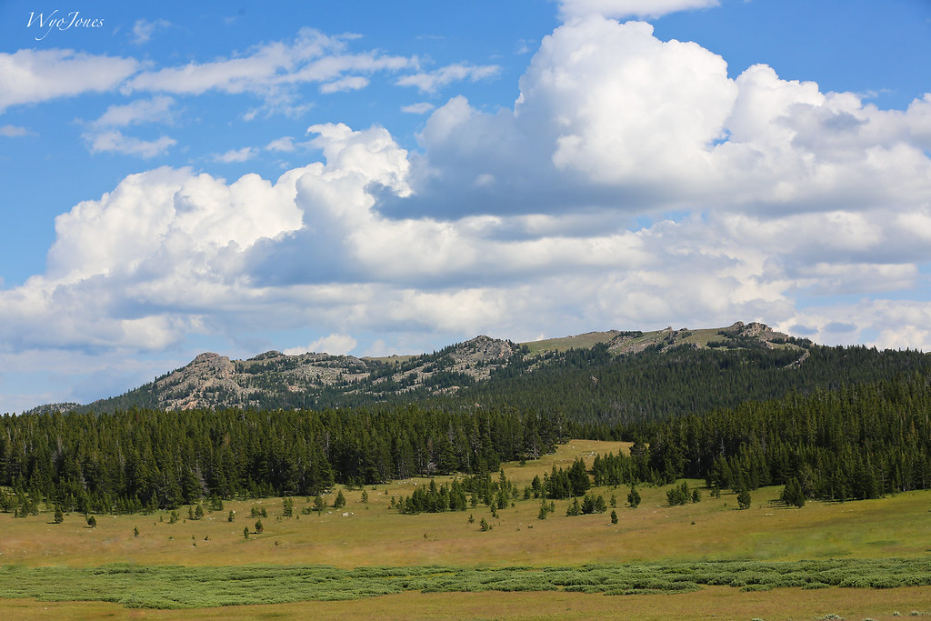
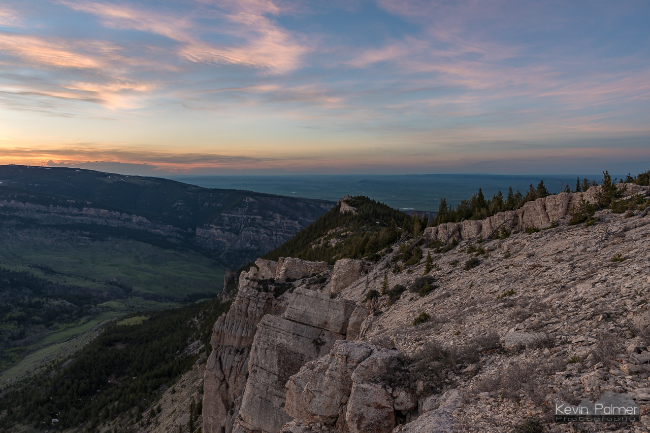
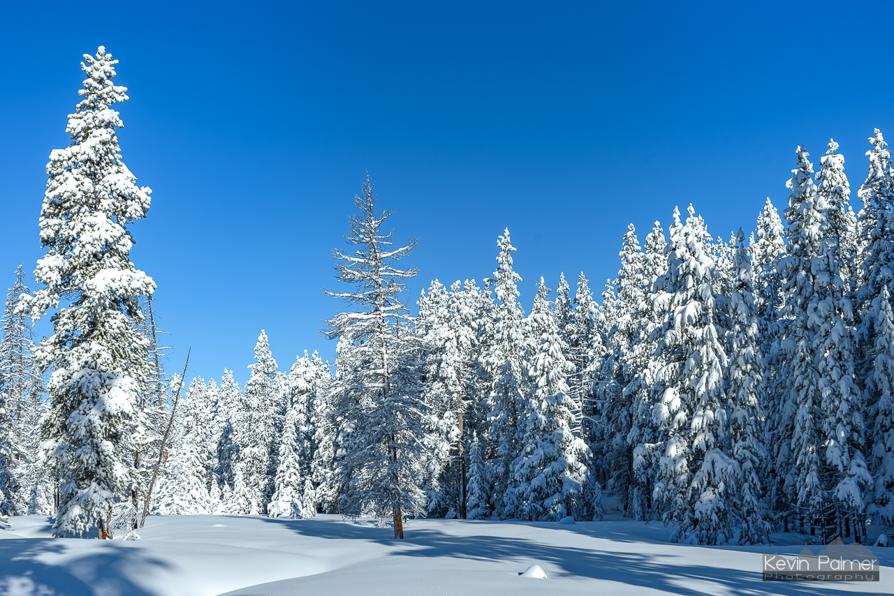
Bighorn National Forest
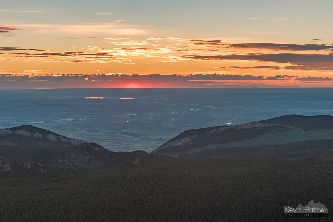
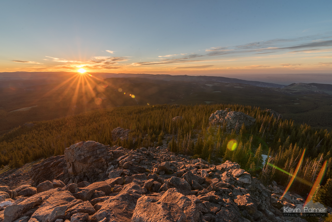
Summer Solstice Sunrise
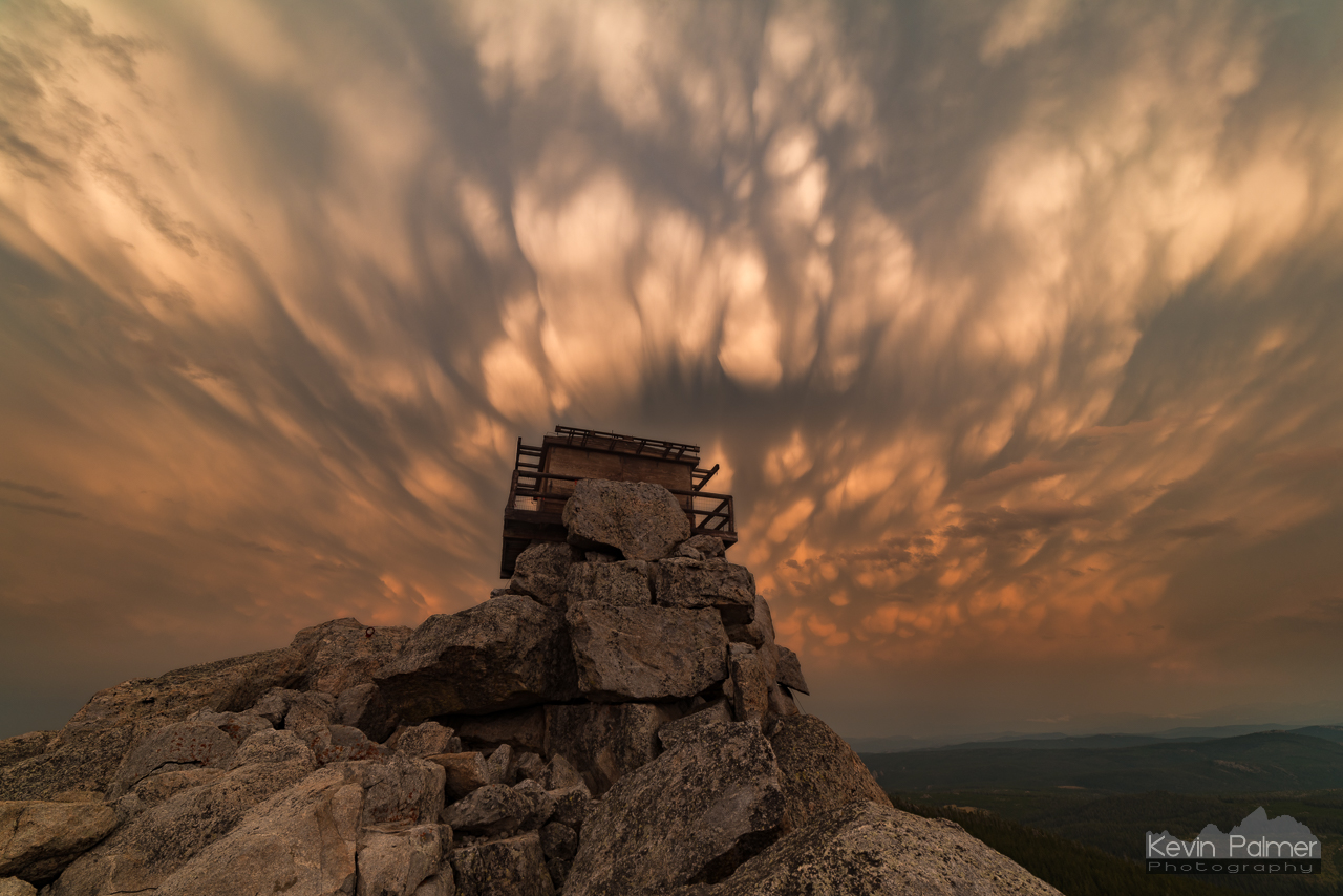
Lookout Above
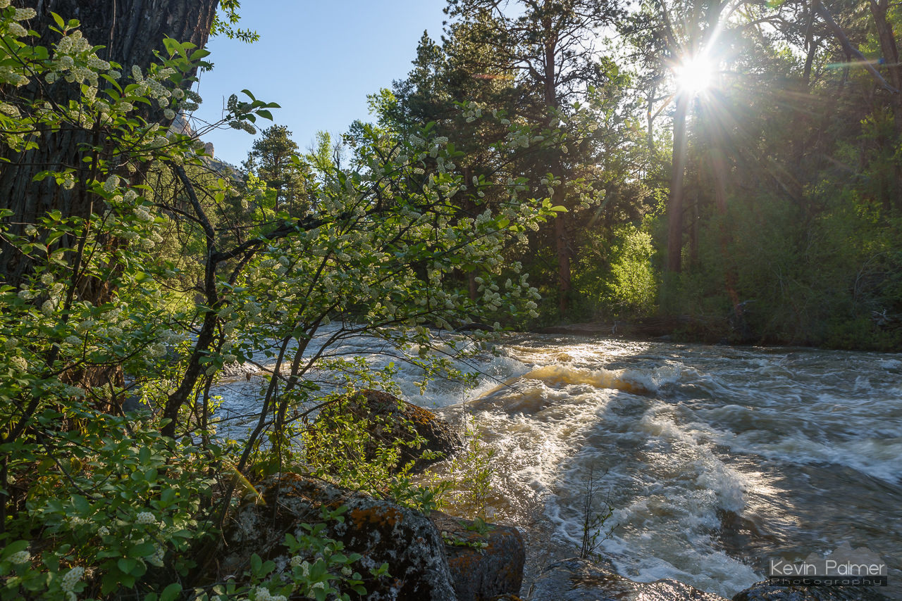
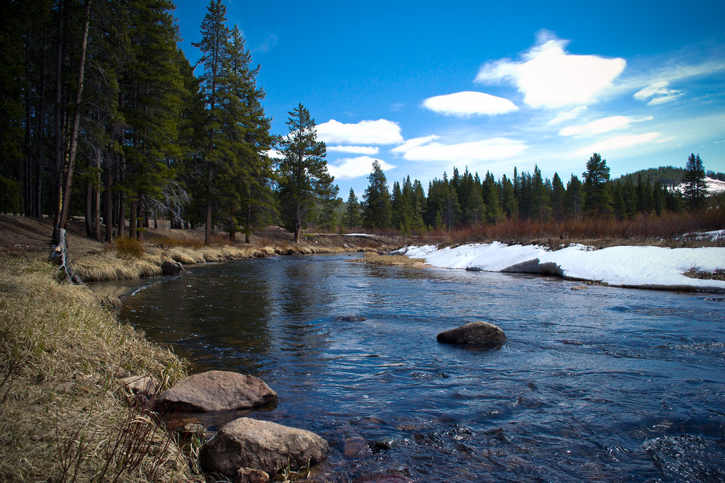
Tongue River's Edge
Black Mountain Virga
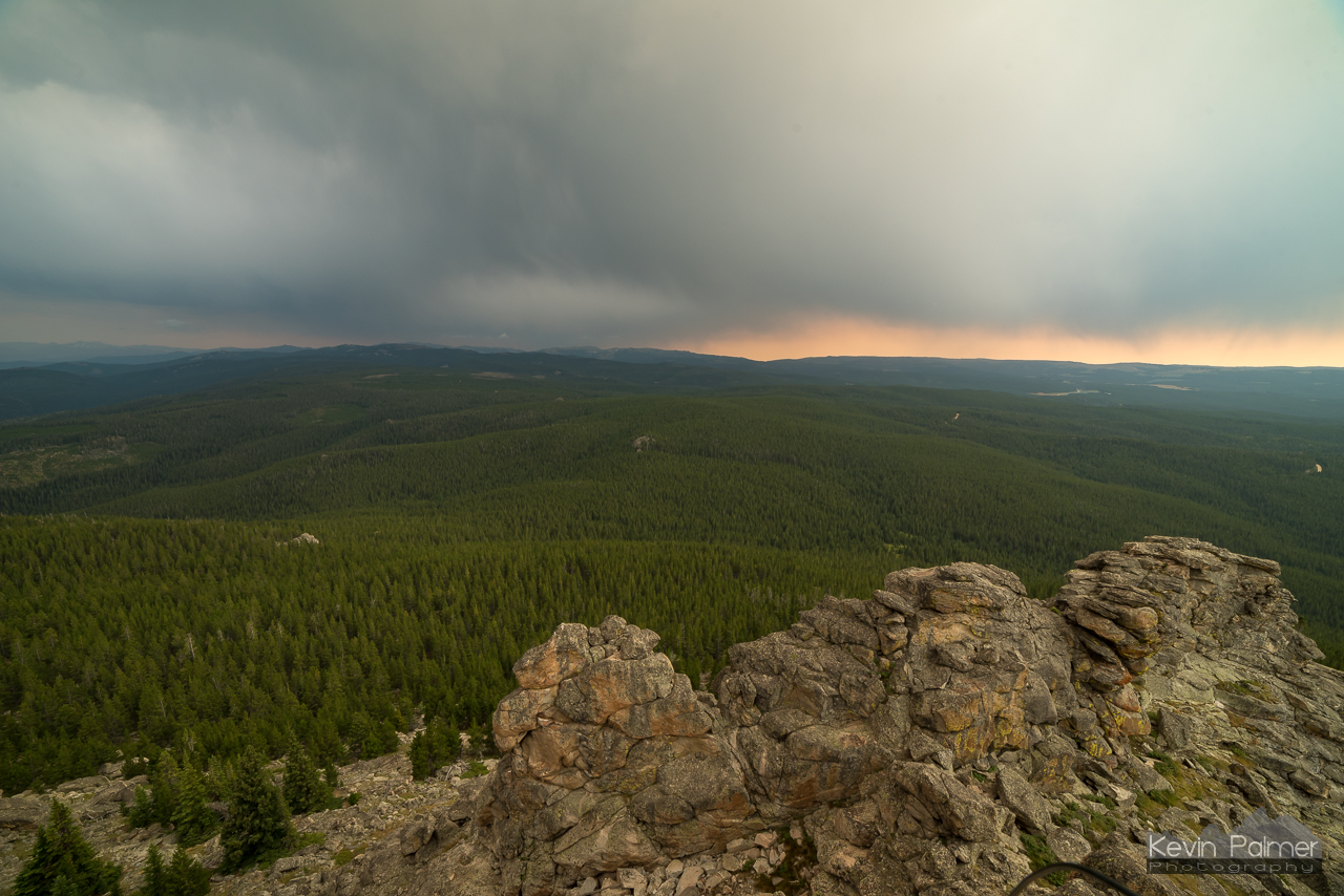
Rumble Over the Forest

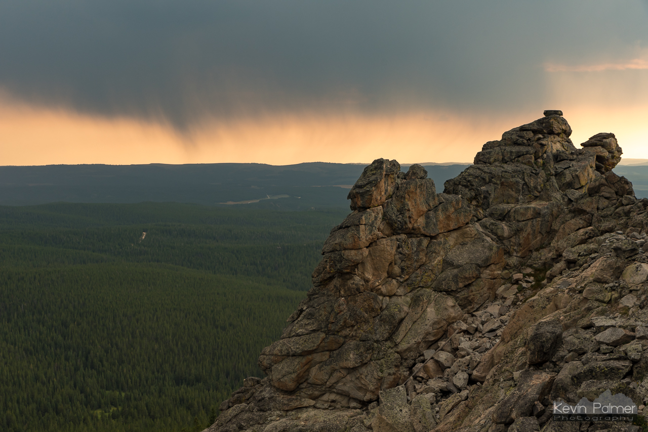
Rain Before Sunset
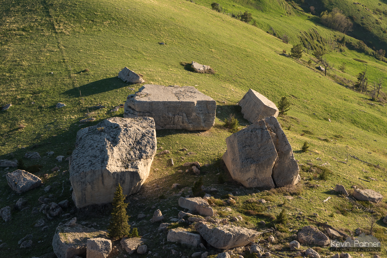
House-Sized Boulders
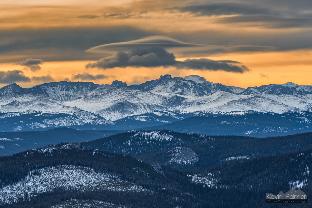
Sunrise Lenticular
Fading Pillars
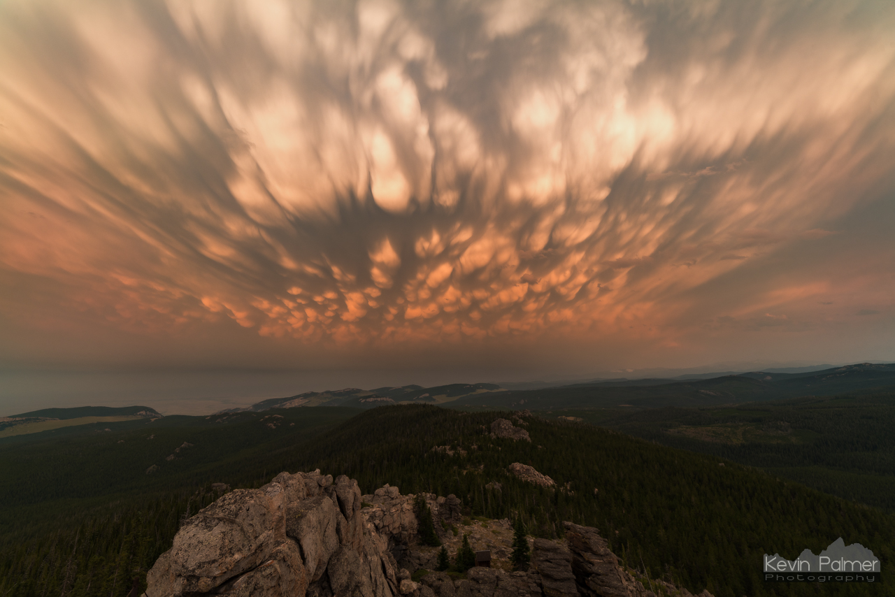
Black Mountain Mammatus
Rapid Morning

Walker Mountain Rainbow
Fool Creek Basin

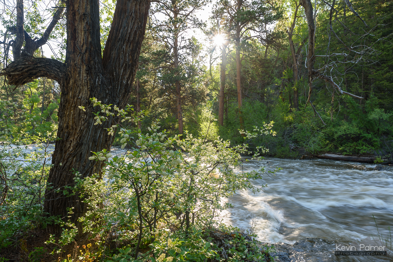
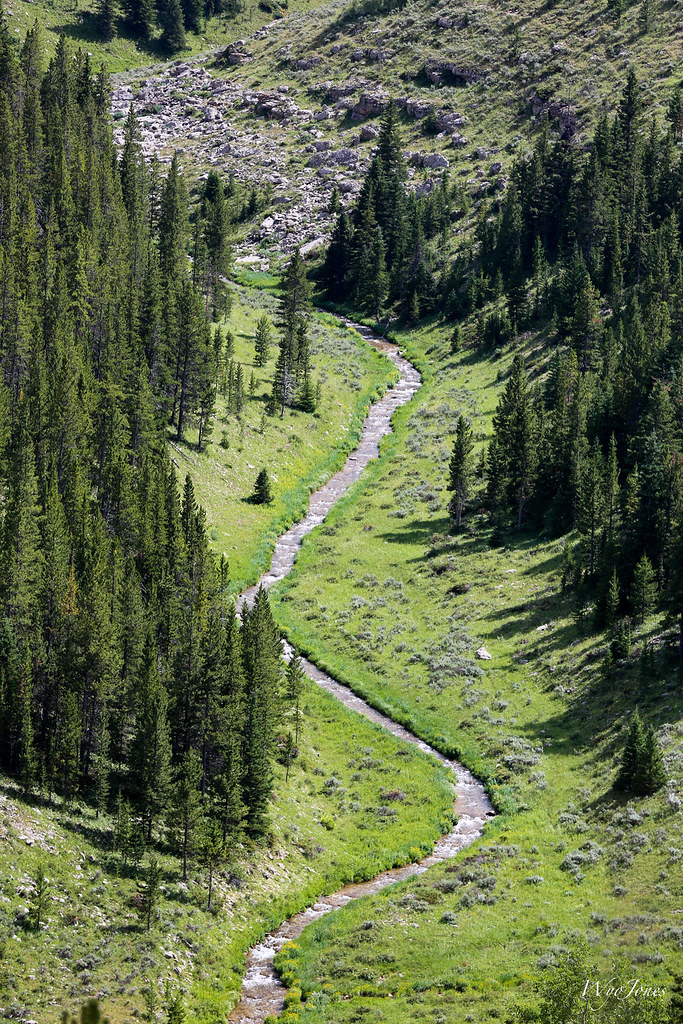
Camp Creek
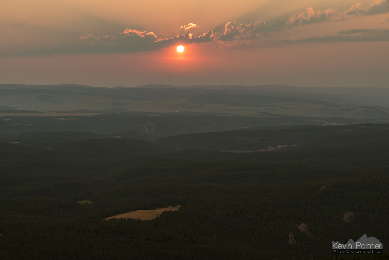
Smoky Sunset
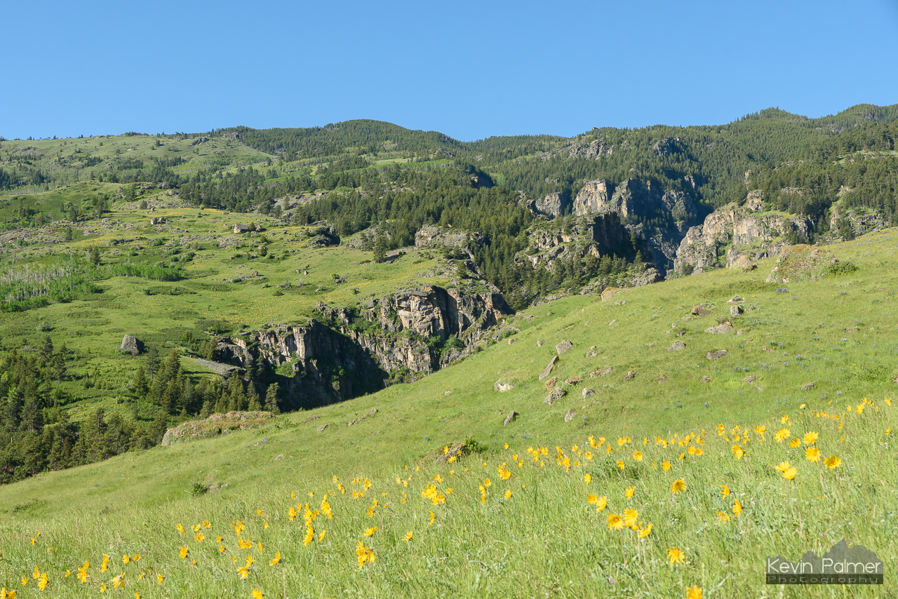
Box Canyon Flowers
Going Up
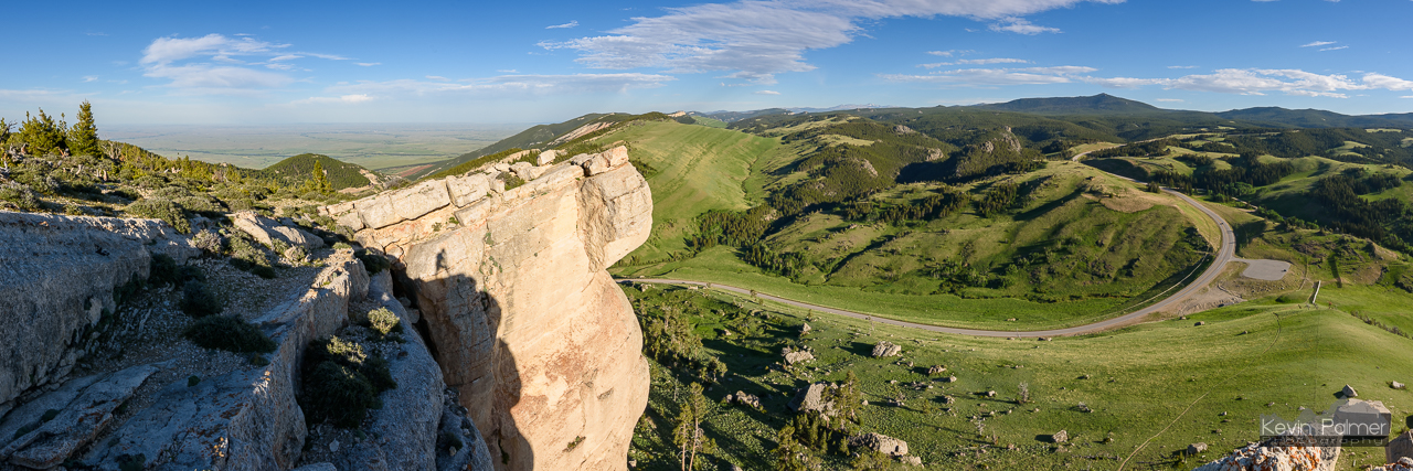
Steamboat Point Panorama

DSC_1423_2013-08-24_09-27-54

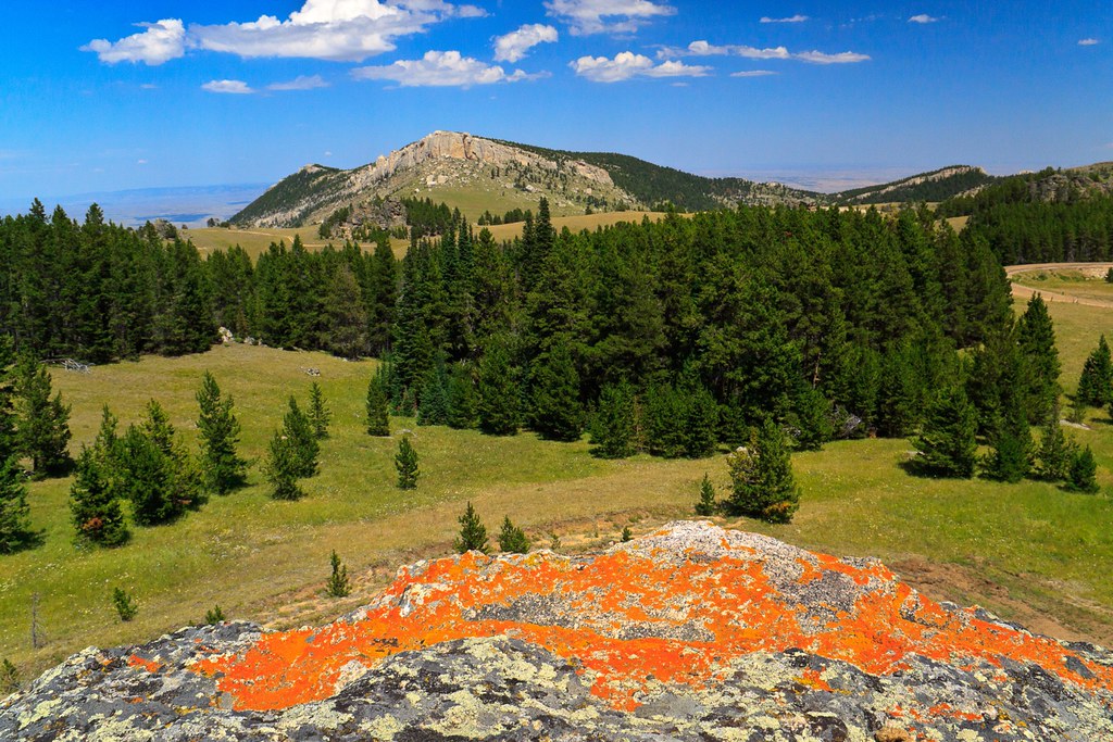
North of Steamboat
Don't Speak (2012)
Bruce Mountain
Dusk Above the Canyon
Winter Is Not Over
Topographic Map of Bear Lodge Resort, US-14 ALT, Dayton, WY, USA
Find elevation by address:

Places near Bear Lodge Resort, US-14 ALT, Dayton, WY, USA:
US-14 ALT, Dayton, WY, USA
Burgess Junction
Prune Creek
Sibley Lake Campground
291 Tongue Canyon Rd
294 Tongue Canyon Rd
Bighorn National Forest
1891 Us-14
Dayton
The Hideout Lodge & Guest Ranch
Wyoming High Country Lodge
Shell
Main St, Shell, WY, USA
South Big Horn County-gey
Ranchester
Big Goose Rd, Sheridan, WY, USA
Co Rd 36, Greybull, WY, USA
75 Beaver Creek Rd
44 Monarch Rd, Ranchester, WY, USA
Cloud Peak
Recent Searches:
- Elevation of Corso Fratelli Cairoli, 35, Macerata MC, Italy
- Elevation of Tallevast Rd, Sarasota, FL, USA
- Elevation of 4th St E, Sonoma, CA, USA
- Elevation of Black Hollow Rd, Pennsdale, PA, USA
- Elevation of Oakland Ave, Williamsport, PA, USA
- Elevation of Pedrógão Grande, Portugal
- Elevation of Klee Dr, Martinsburg, WV, USA
- Elevation of Via Roma, Pieranica CR, Italy
- Elevation of Tavkvetili Mountain, Georgia
- Elevation of Hartfords Bluff Cir, Mt Pleasant, SC, USA