Elevation of Titusville Rd, Titusville, PA, USA
Location: United States > Pennsylvania > Venango County > Oilcreek Township >
Longitude: -79.617719
Latitude: 41.6104351
Elevation: 455m / 1493feet
Barometric Pressure: 96KPa
Elevation Map:
Satellite Map:
Related Photos:

The Barn on the Hill

Do You Believe In Ghosts?
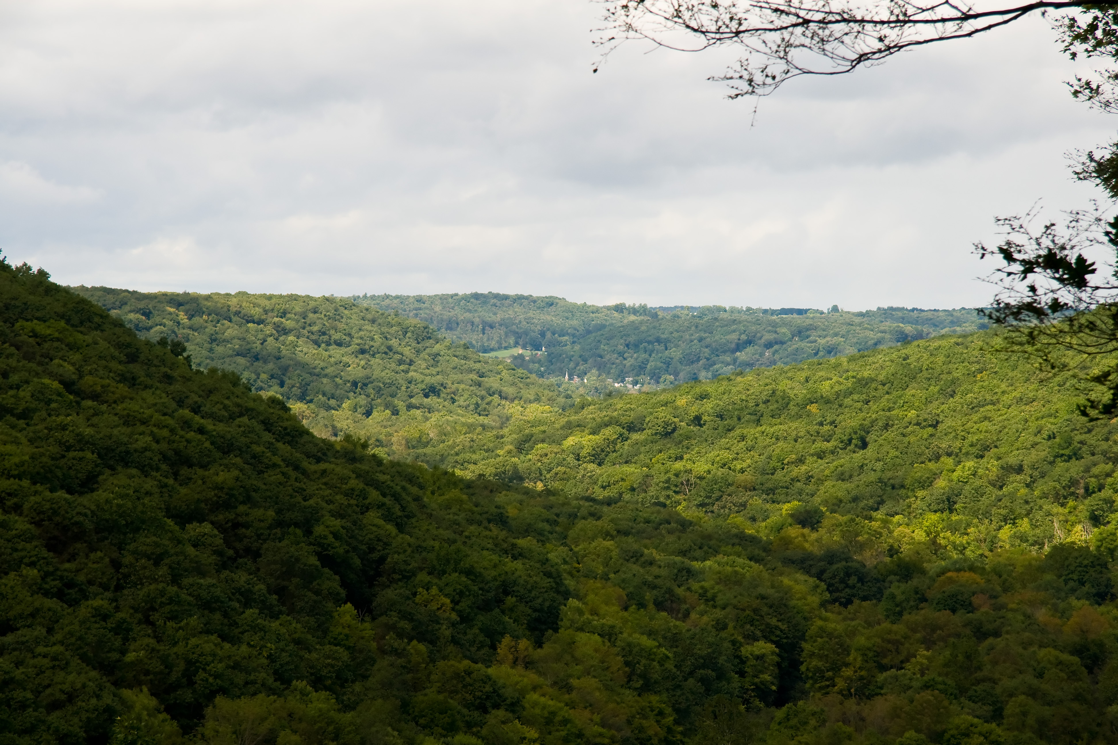
Scenic View

Scenic View

1308 - untitled - 063

Pioneer Falls

Fallen Leaves 2

Gregg Falls

Jersey Bridge

Oil_Creek_Hike-069.jpg
misc-043.jpg

Frolicking Deer
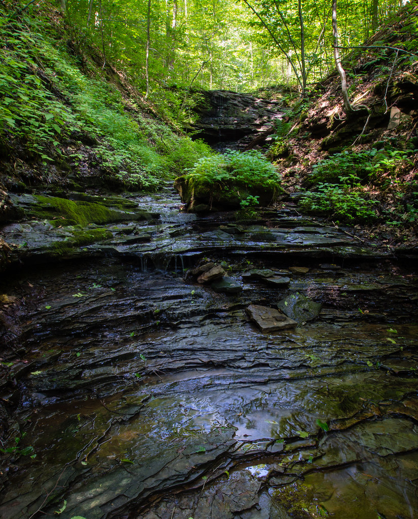
Pioneer Falls
11-18-2012_33_Cornplanter_State_Forest
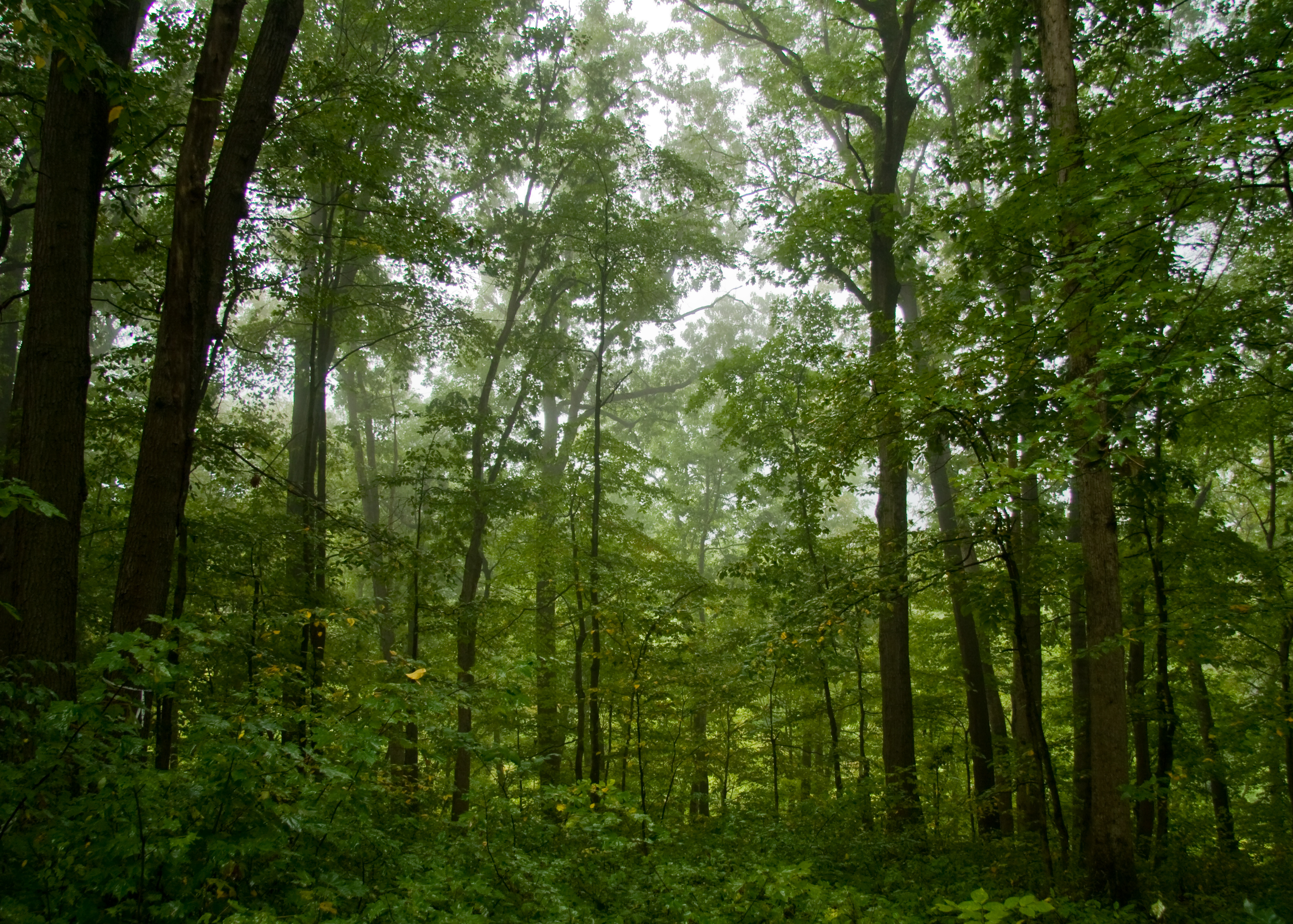
Misty Forest

Petroleum Storage Barrel
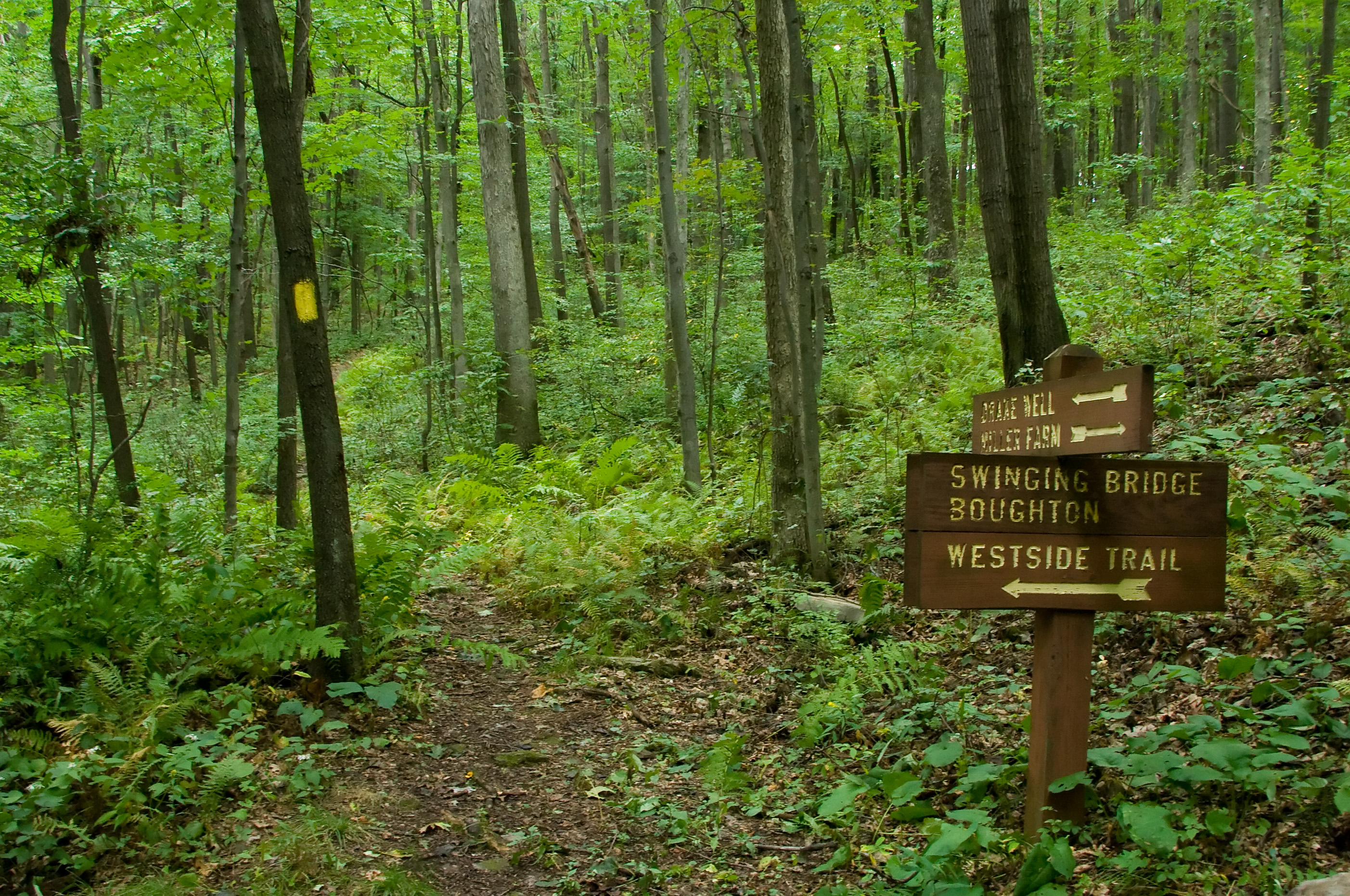
Trail Sign
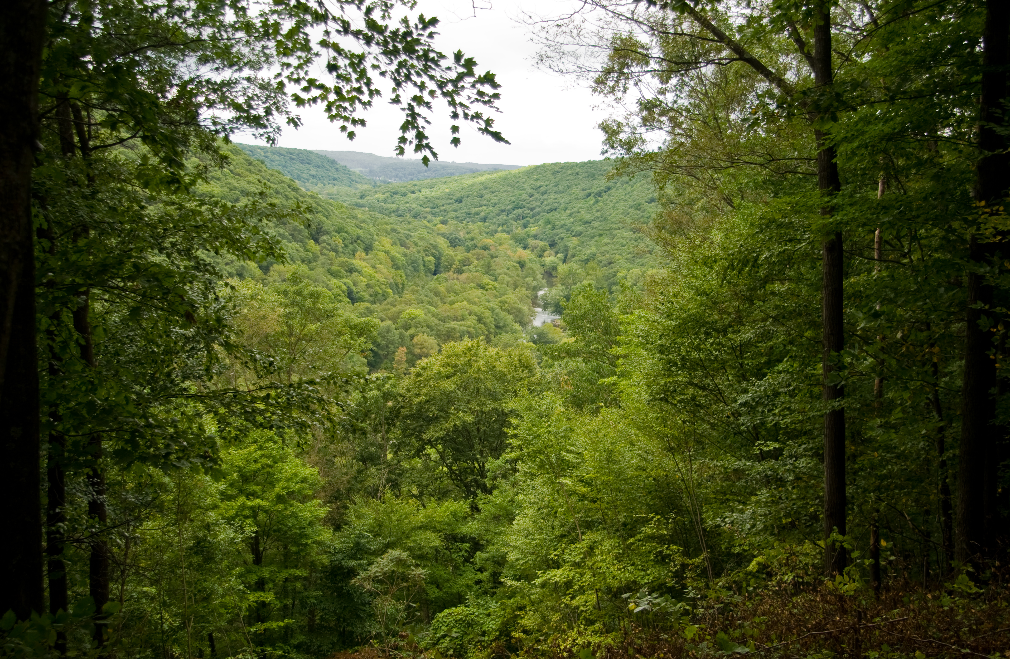
Oil Creek from Above

Old Country Church
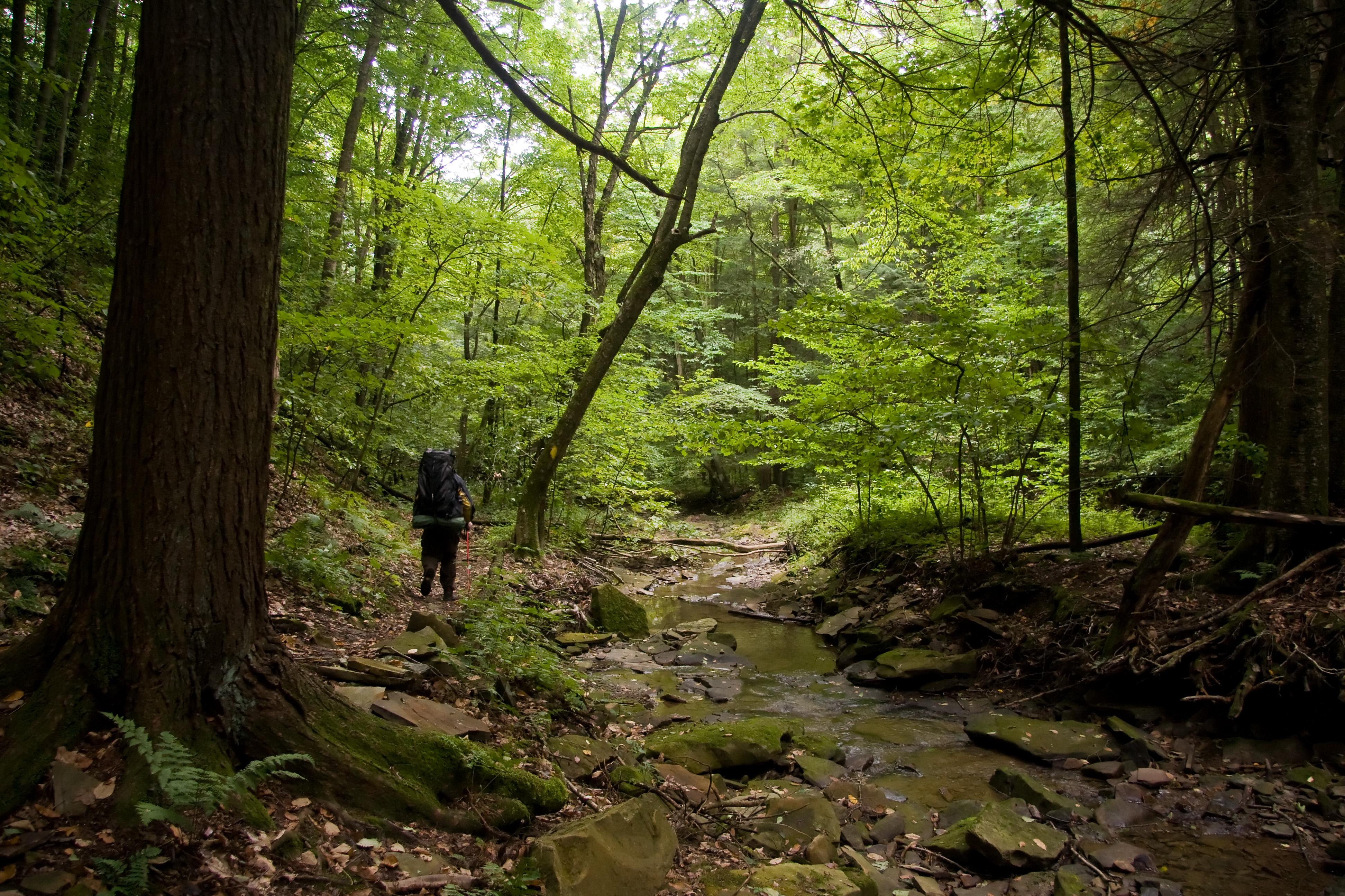
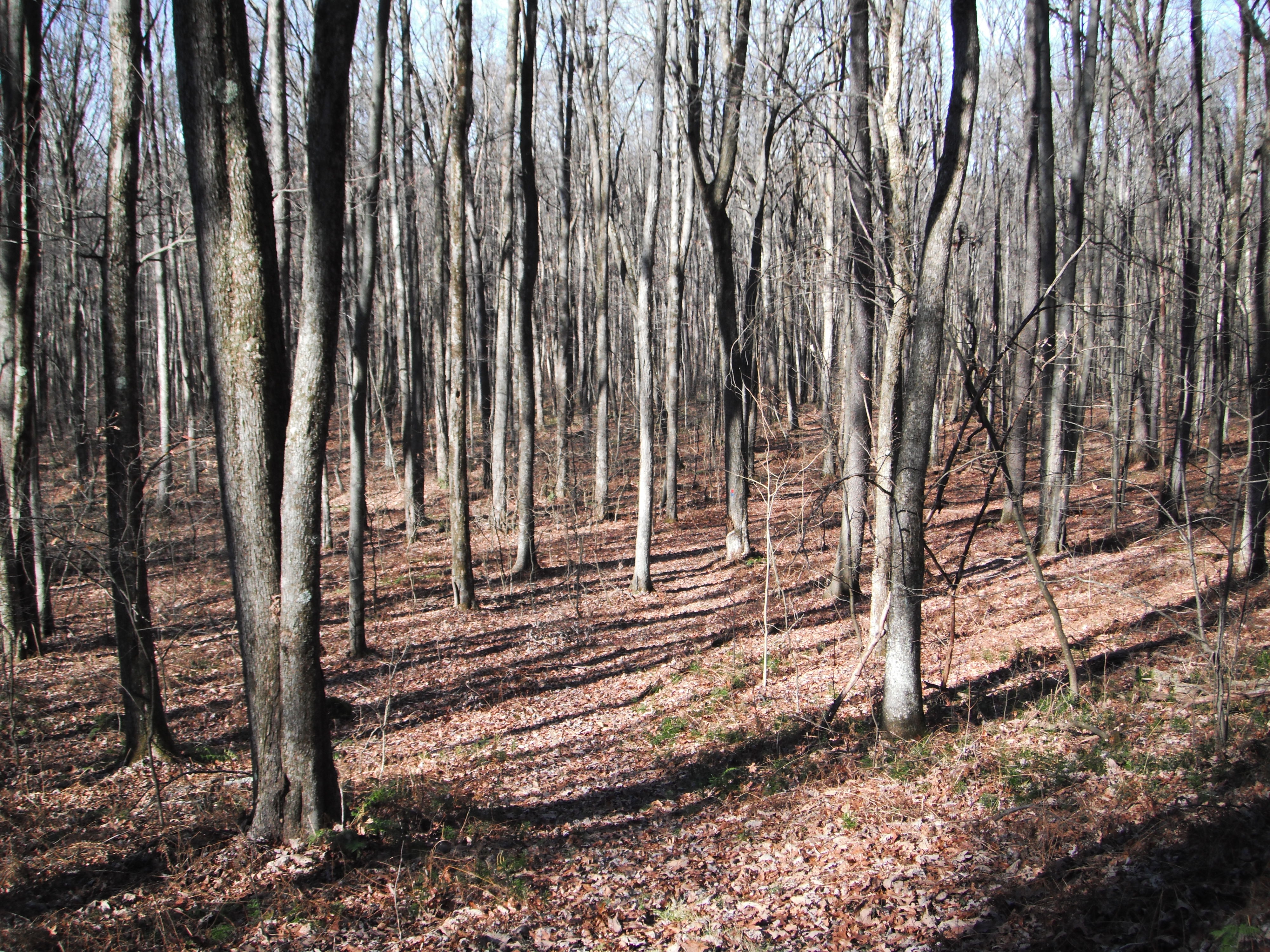
On the Trail

On the Trail
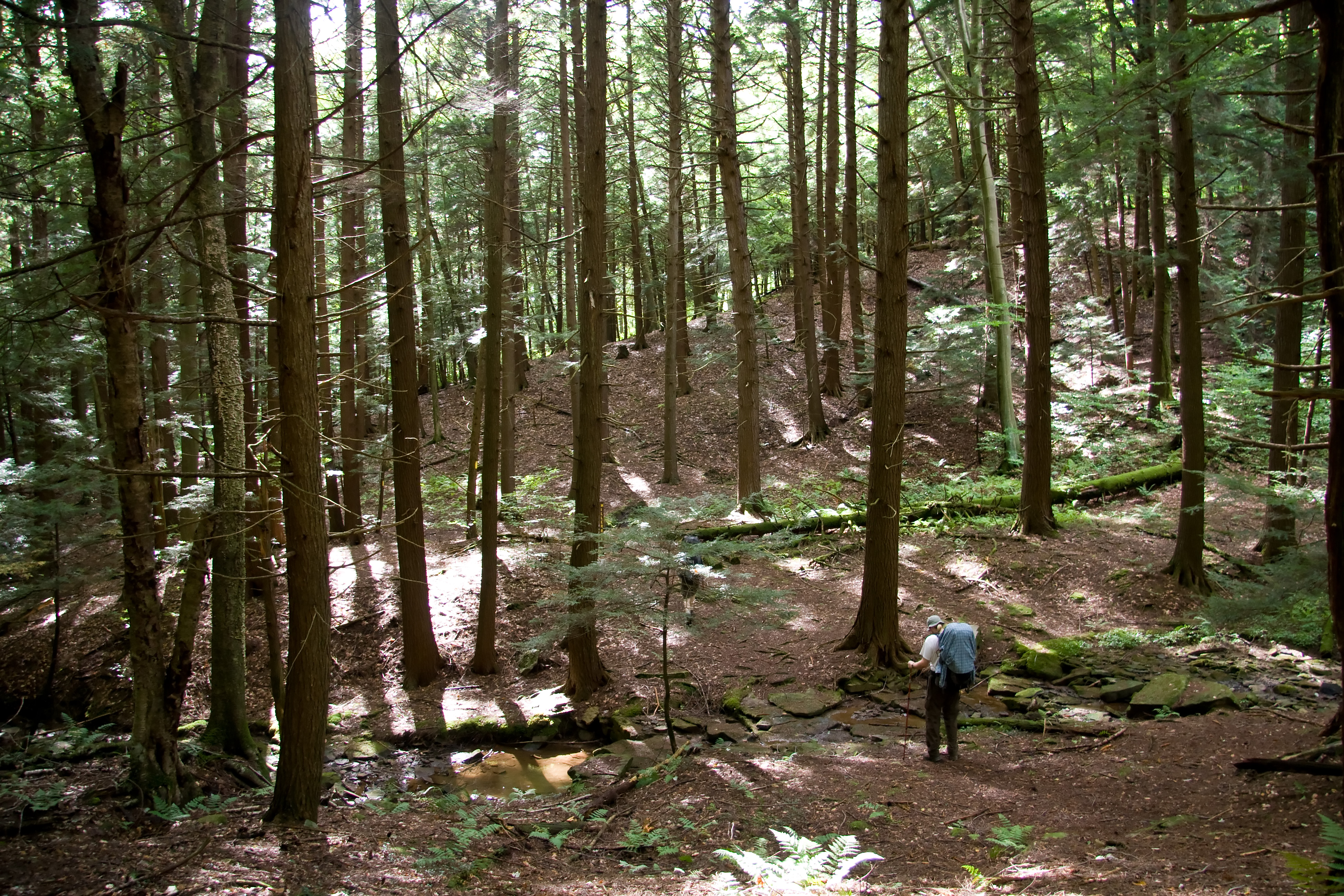
On the Trail
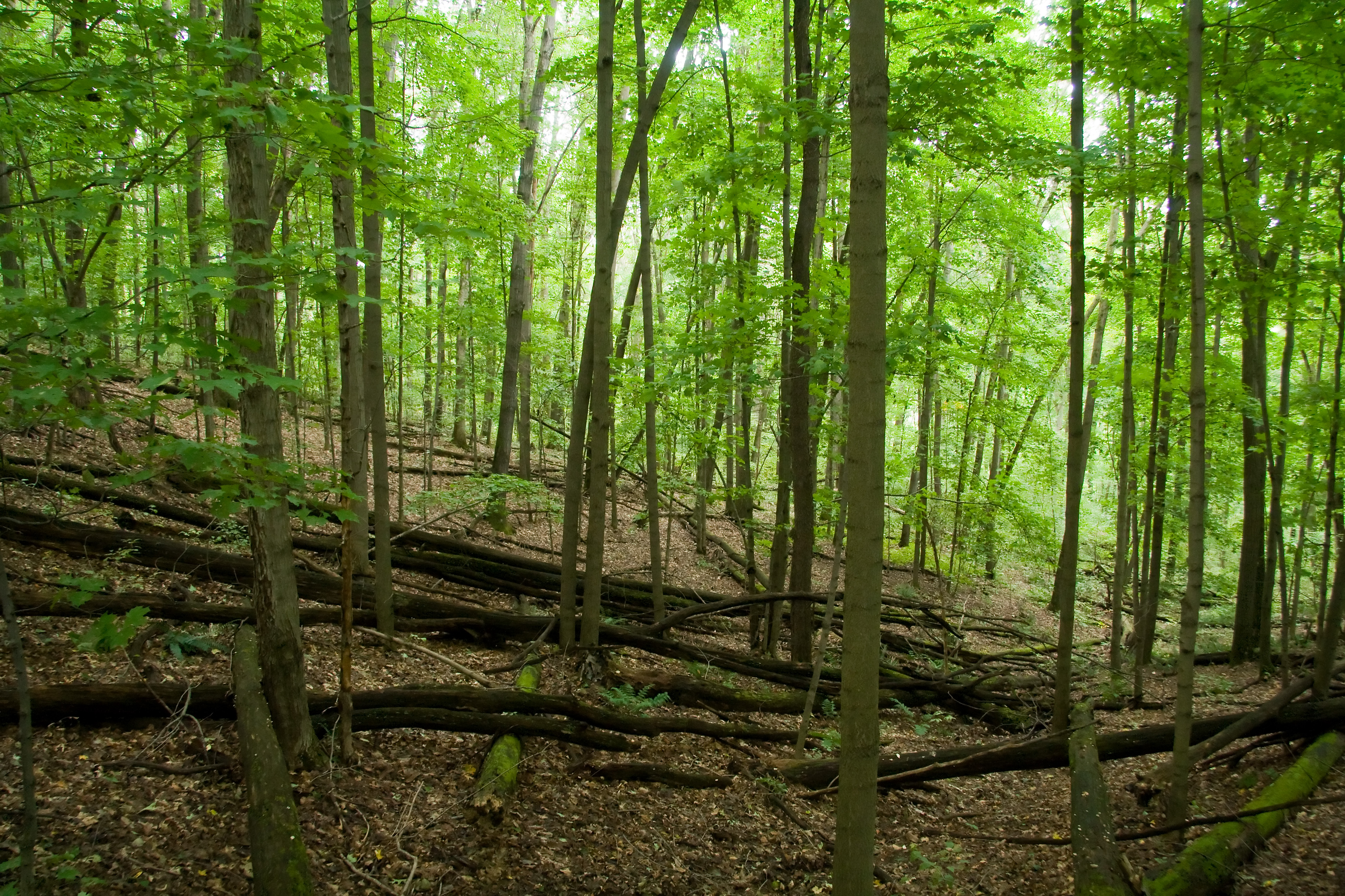
Fallen Trees
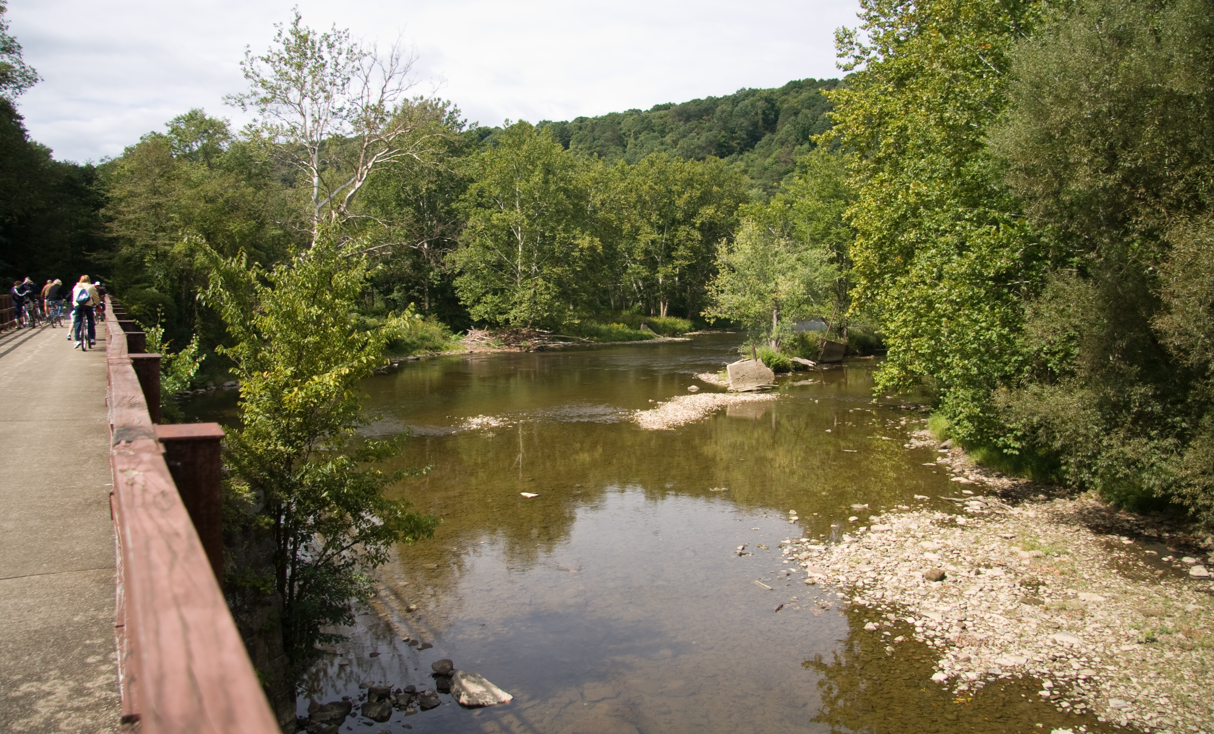
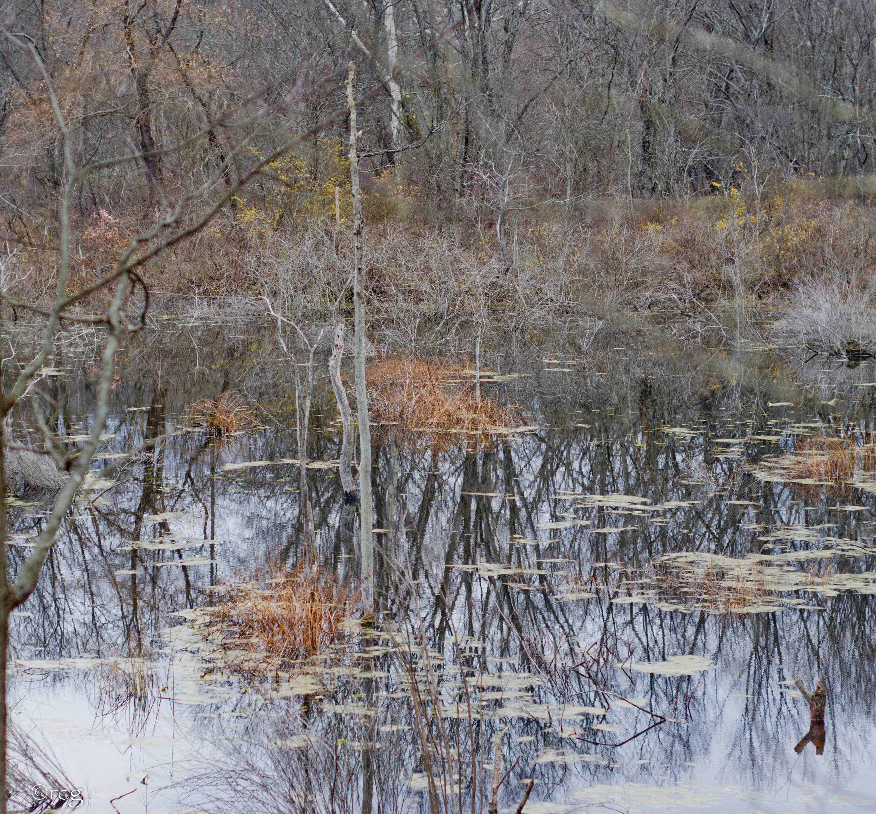
Oil Creek
Topographic Map of Titusville Rd, Titusville, PA, USA
Find elevation by address:

Places near Titusville Rd, Titusville, PA, USA:
Oilcreek Township
341 N Main St
Pleasantville
820 Rockwood Dr
240 Maple St
14567 State Rte 2033
Drake St, Titusville, PA, USA
Dutch Hill Road
Titusville
North 1st Street
517 W Elm St
12956 N Perry Rd
20998 Neiltown Rd
Allegheny Township
Pleasantville, PA, USA
20933 Neiltown Rd
Southwest Township
Cornplanter Township
2172 Buxton Rd
Neiltown Rd, Pleasantville, PA, USA
Recent Searches:
- Elevation of Corso Fratelli Cairoli, 35, Macerata MC, Italy
- Elevation of Tallevast Rd, Sarasota, FL, USA
- Elevation of 4th St E, Sonoma, CA, USA
- Elevation of Black Hollow Rd, Pennsdale, PA, USA
- Elevation of Oakland Ave, Williamsport, PA, USA
- Elevation of Pedrógão Grande, Portugal
- Elevation of Klee Dr, Martinsburg, WV, USA
- Elevation of Via Roma, Pieranica CR, Italy
- Elevation of Tavkvetili Mountain, Georgia
- Elevation of Hartfords Bluff Cir, Mt Pleasant, SC, USA