Elevation of State Rte, Titusville, PA, USA
Location: United States > Pennsylvania > Crawford County > Titusville >
Longitude: -79.659638
Latitude: 41.6392696
Elevation: 466m / 1529feet
Barometric Pressure: 96KPa
Elevation Map:
Satellite Map:
Related Photos:

Do You Believe In Ghosts?
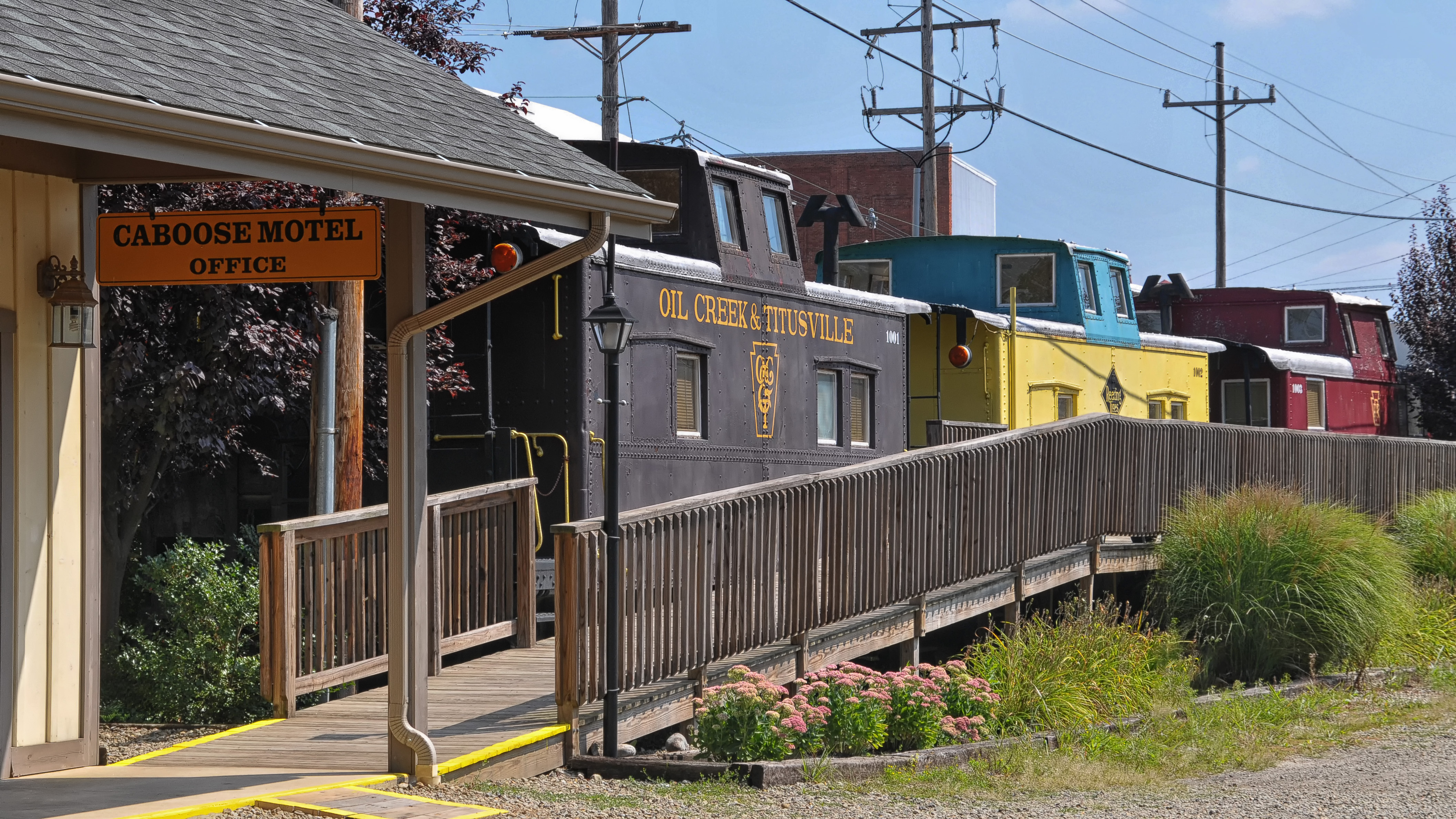
Caboose Motel, Titusville, Pennsylvania
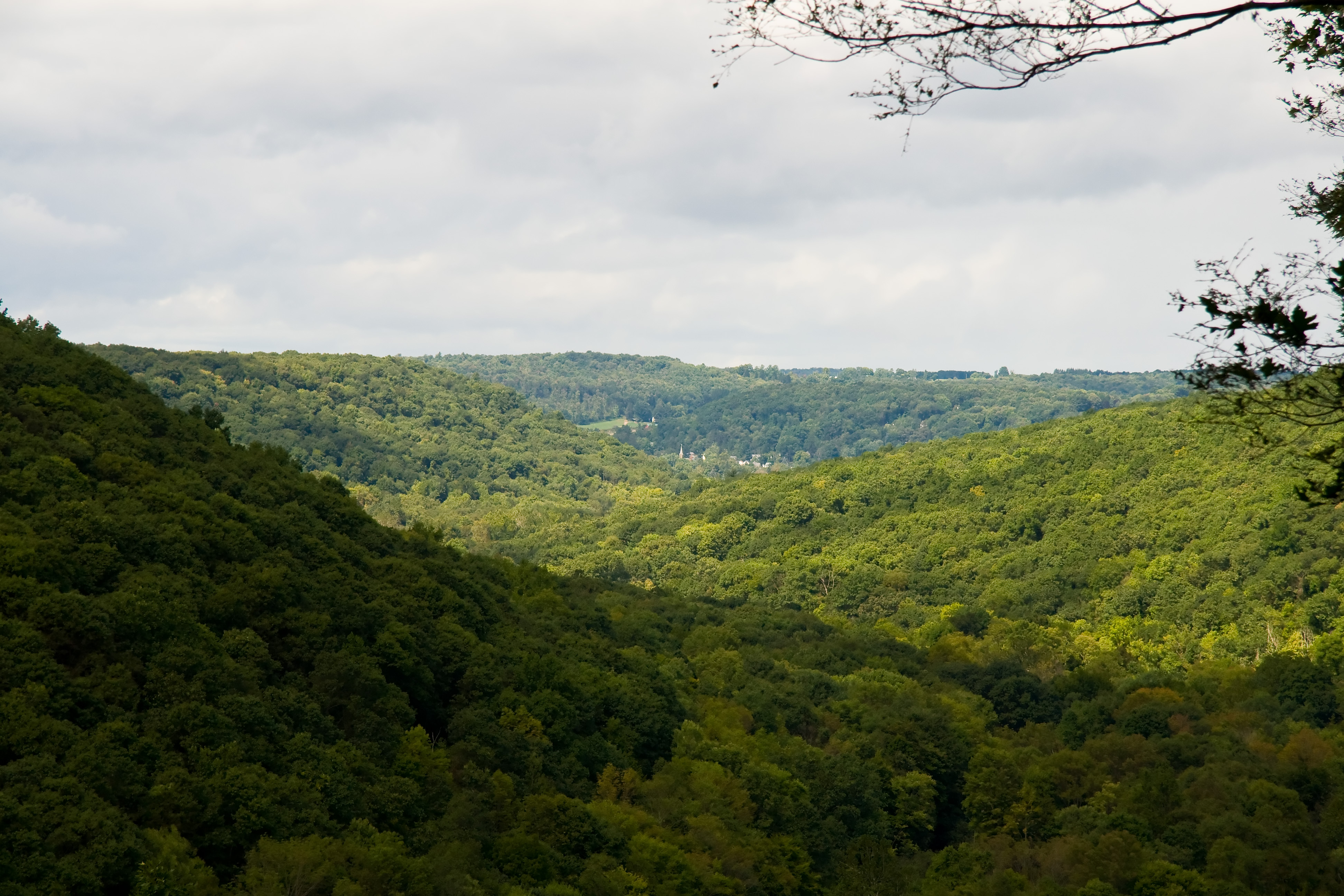
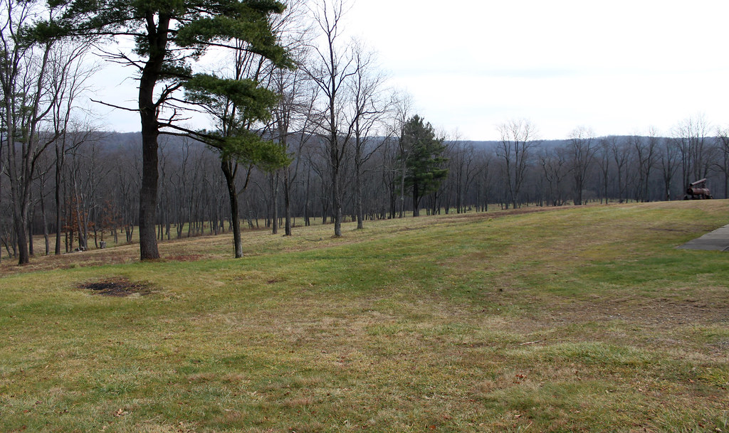
Scenic View

Scenic View
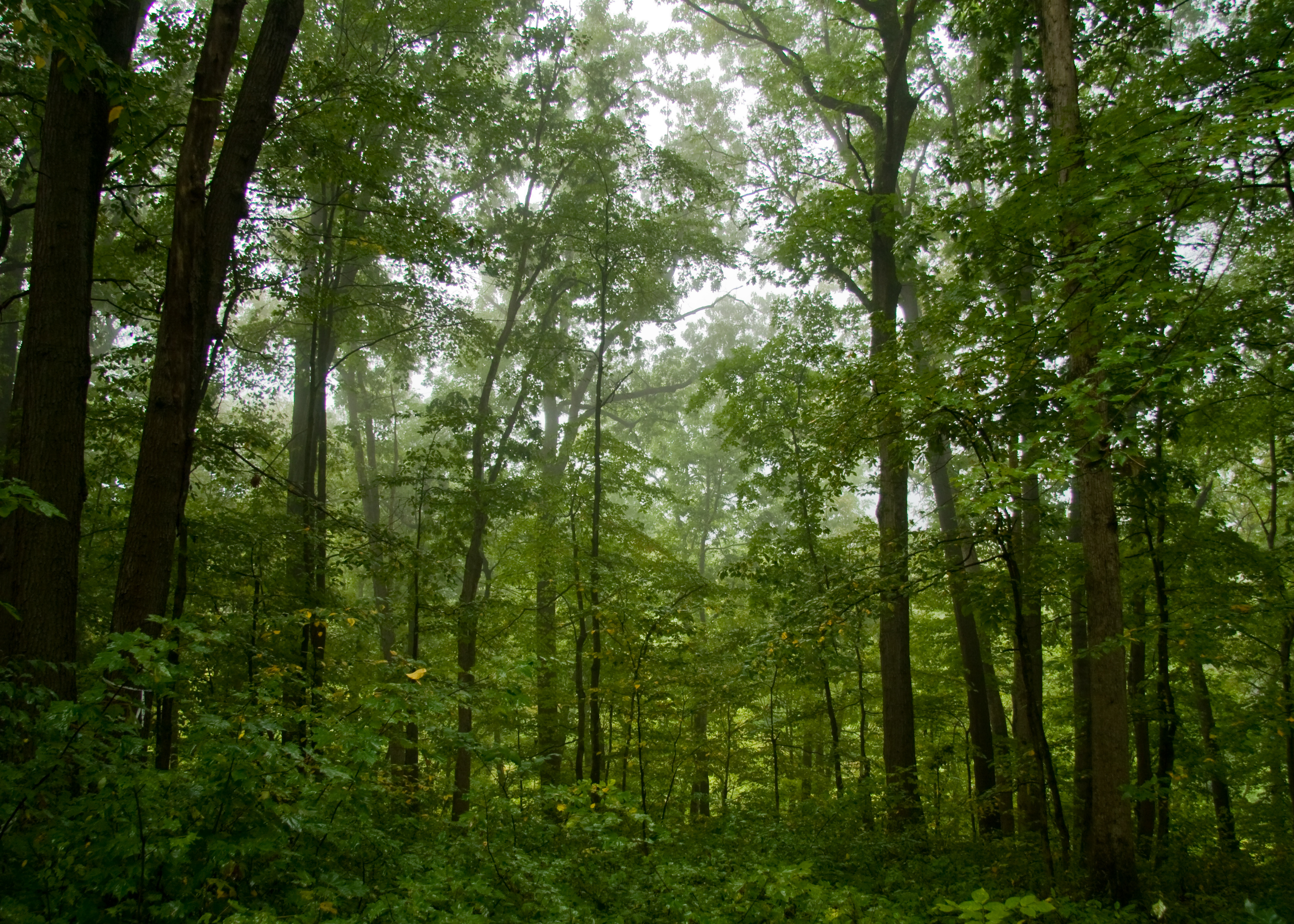
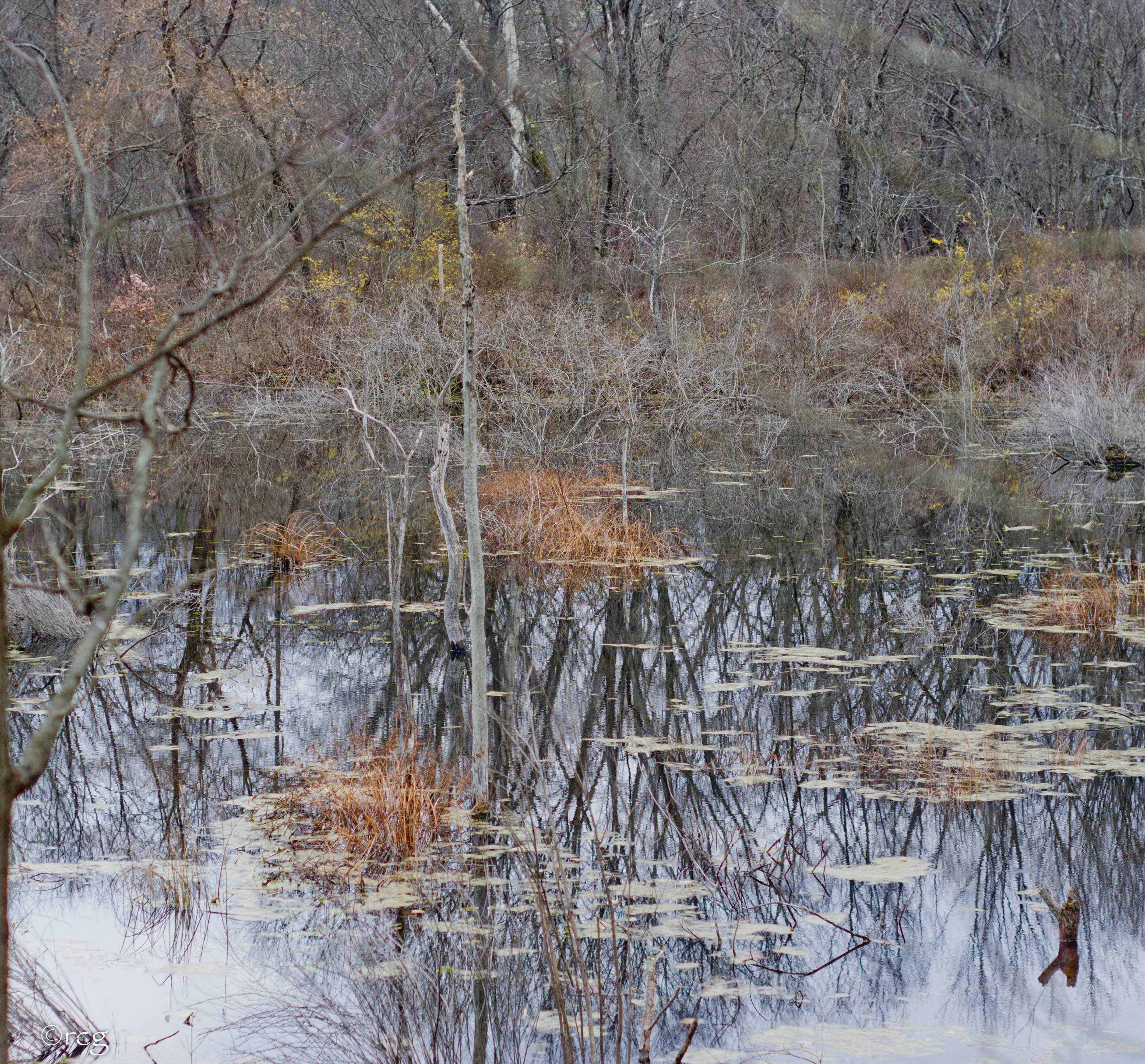
Misty Forest

Pioneer Falls

Fallen Leaves 2
Oil_Creek_Hike-069.jpg
misc-043.jpg

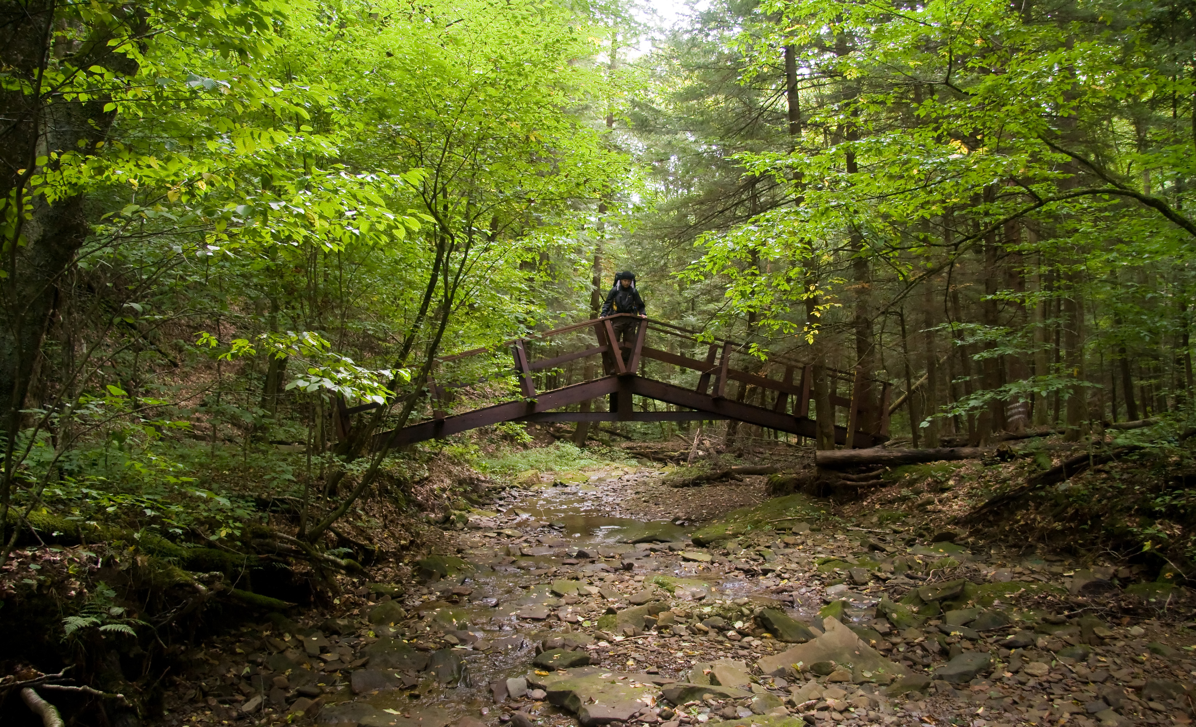
Jersey Bridge

Petroleum Storage Barrel
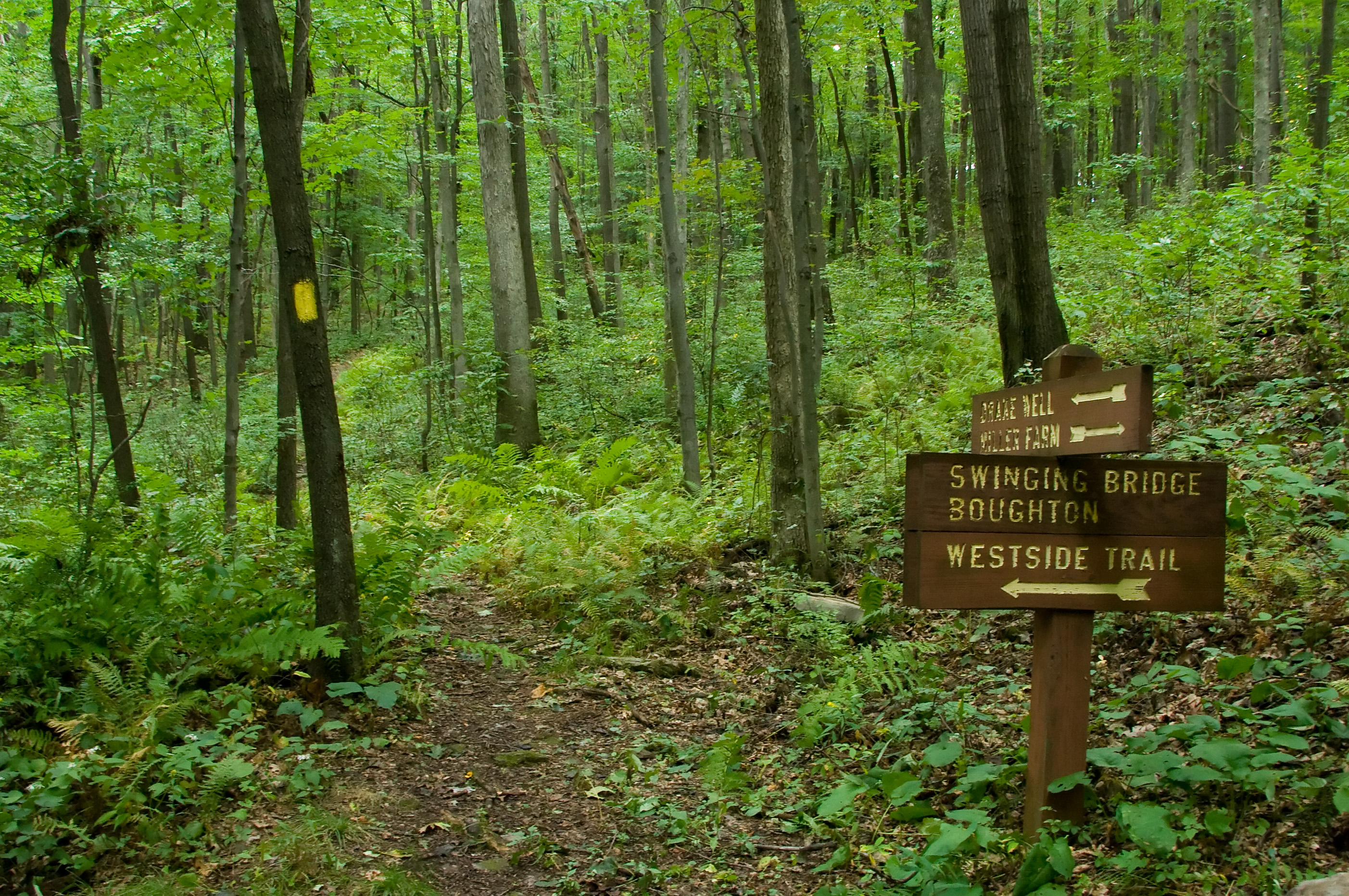
Trail Sign
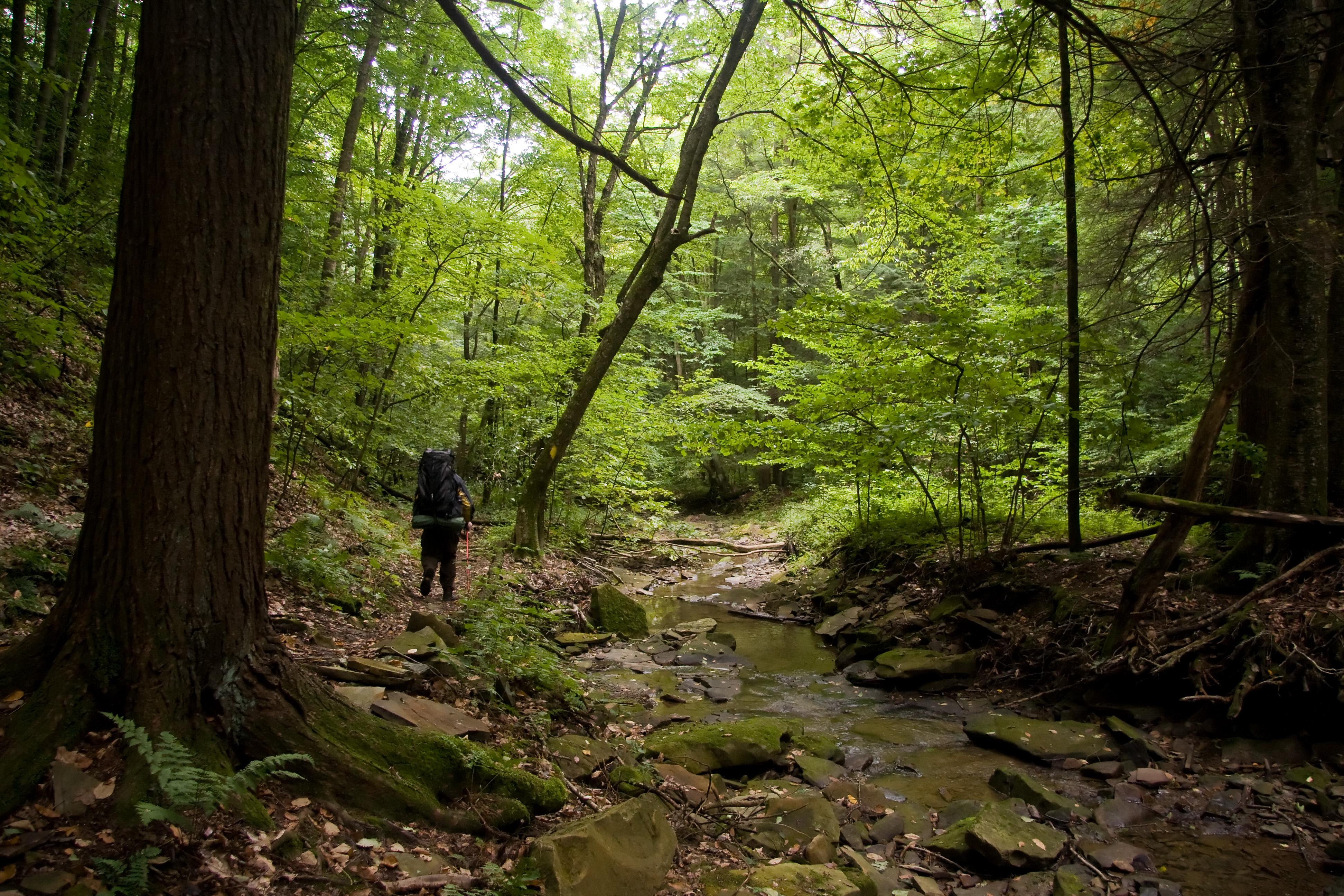
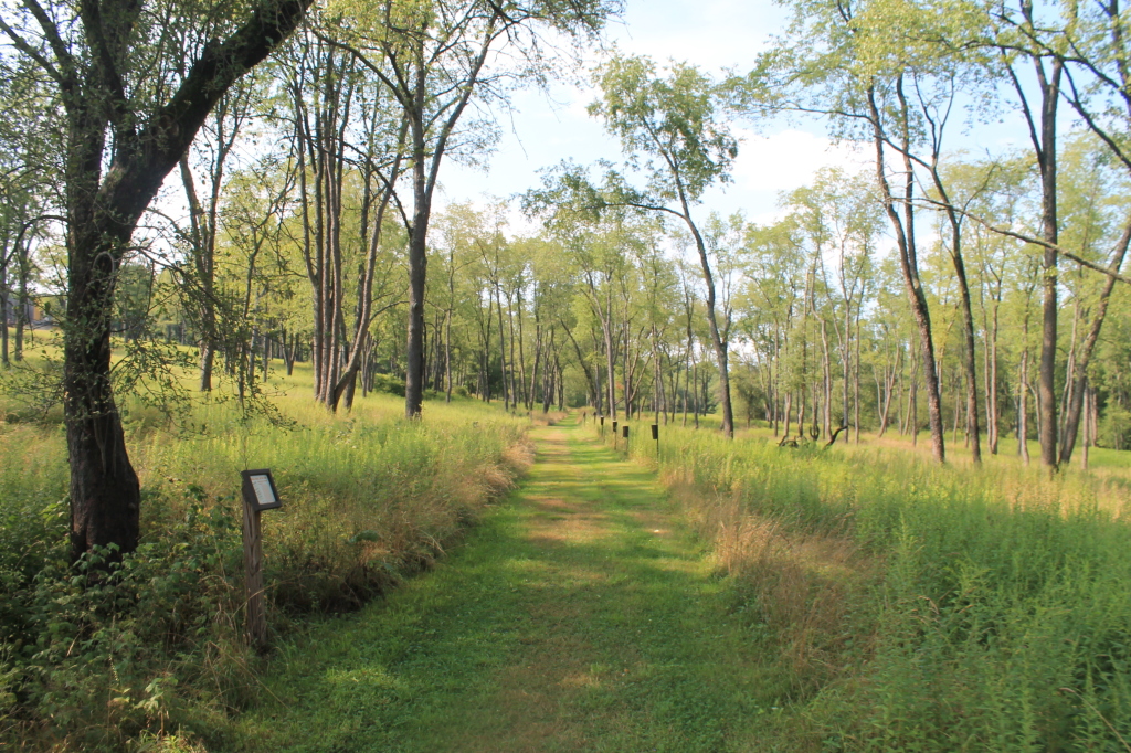
On the Trail
On the Trail
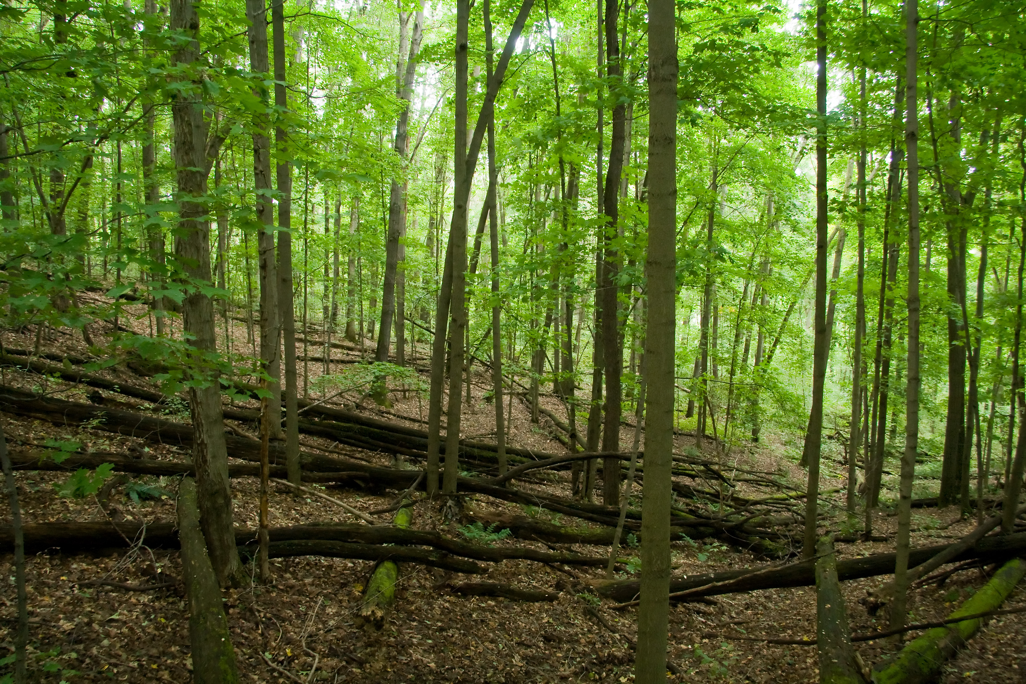
Fallen Trees

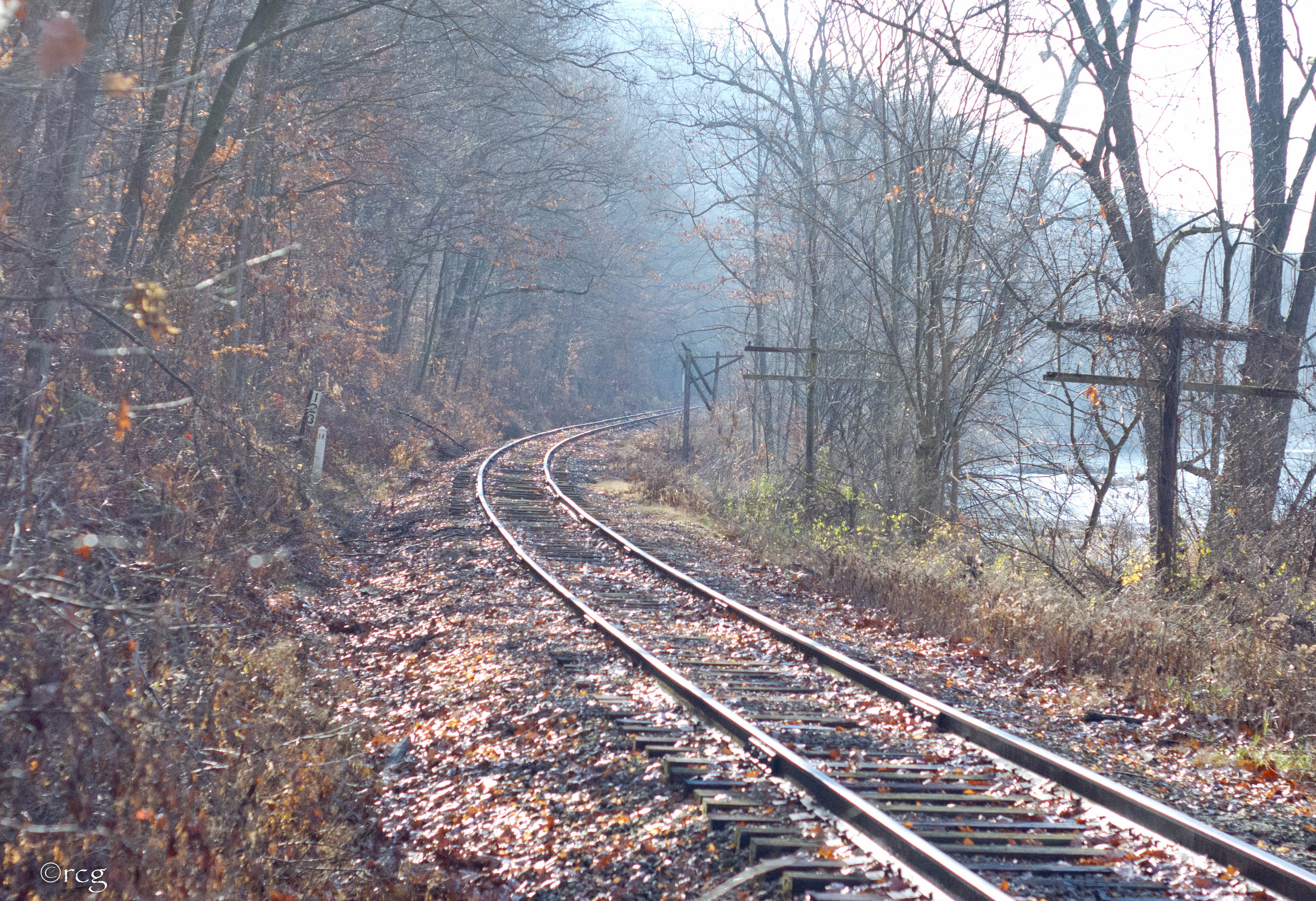
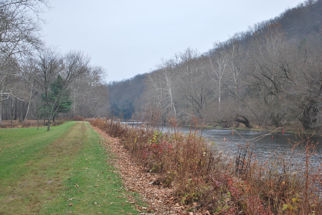
Oil Creek
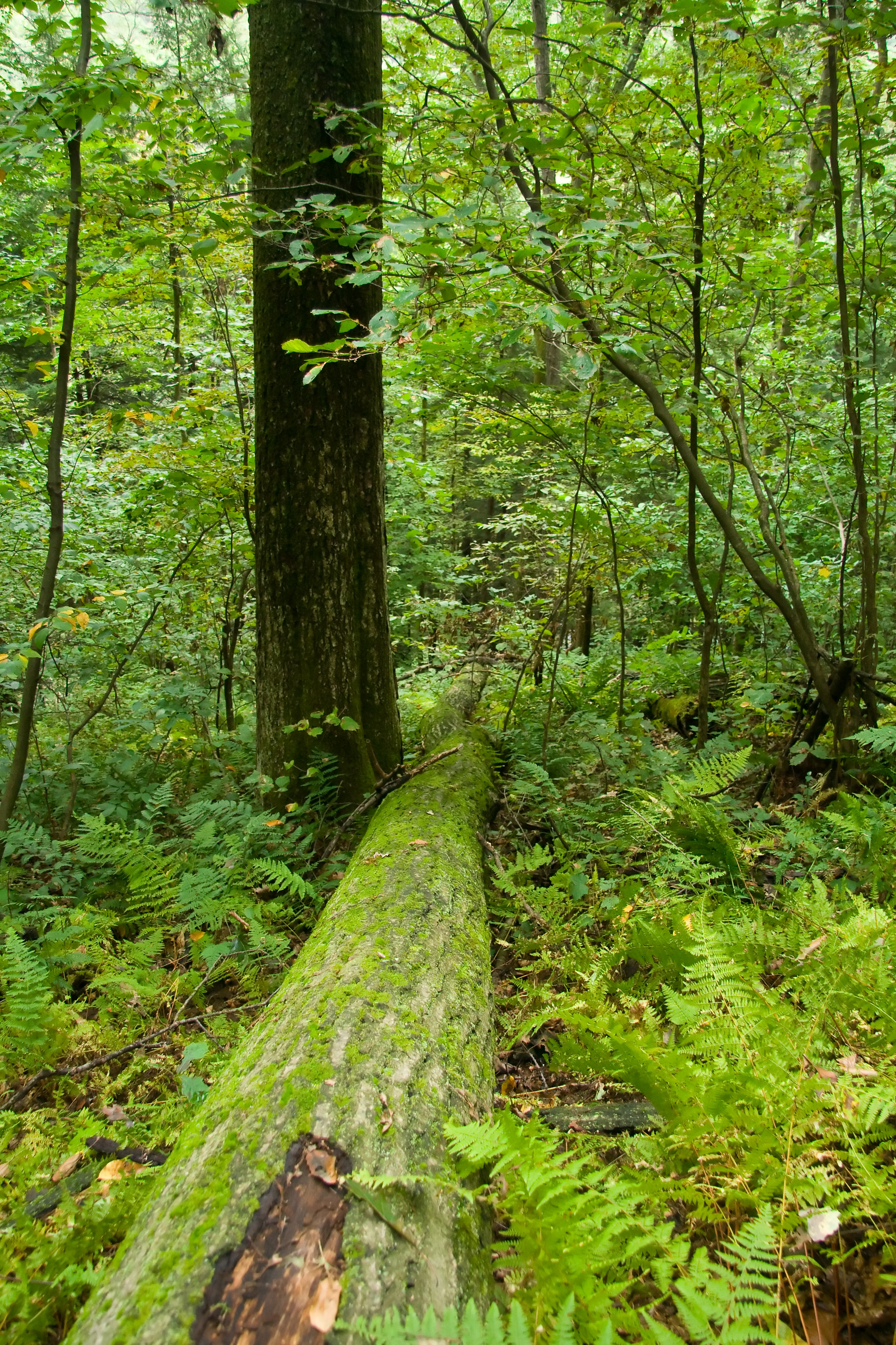
Fallen Tree
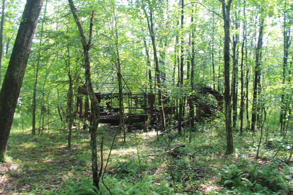
Very Old Powerhouse
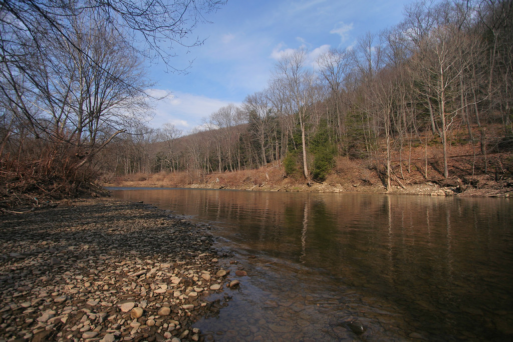
Oil Creek

1308 - untitled - 004
Ghost Town - Pithole, PA

1308 - untitled - 063
Oil Creek
Brown Street
Topographic Map of State Rte, Titusville, PA, USA
Find elevation by address:

Places near State Rte, Titusville, PA, USA:
820 Rockwood Dr
Titusville
Drake St, Titusville, PA, USA
12956 N Perry Rd
North 1st Street
517 W Elm St
Dutch Hill Road
23199 Titusville Rd
Oilcreek Township
2172 Buxton Rd
341 N Main St
Pleasantville
240 Maple St
Cherrytree Township
39321 Pa-408
Oil Creek State Park Trail
Southwest Township
20998 Neiltown Rd
20933 Neiltown Rd
Cornplanter Township
Recent Searches:
- Elevation of Corso Fratelli Cairoli, 35, Macerata MC, Italy
- Elevation of Tallevast Rd, Sarasota, FL, USA
- Elevation of 4th St E, Sonoma, CA, USA
- Elevation of Black Hollow Rd, Pennsdale, PA, USA
- Elevation of Oakland Ave, Williamsport, PA, USA
- Elevation of Pedrógão Grande, Portugal
- Elevation of Klee Dr, Martinsburg, WV, USA
- Elevation of Via Roma, Pieranica CR, Italy
- Elevation of Tavkvetili Mountain, Georgia
- Elevation of Hartfords Bluff Cir, Mt Pleasant, SC, USA