Elevation of Tirre Ct, Santa Paula, CA, USA
Location: United States > California > Ventura County > Santa Paula >

Longitude: -119.07705

Latitude: 34.342911

Elevation: 73m / 240feet

Barometric Pressure: 100KPa

Elevation Map:

elevation map of Tirre Ct, Santa Paula, CA, USA
Satellite Map:

Satellite map of Tirre Ct, Santa Paula, CA, USA
Related Photos:

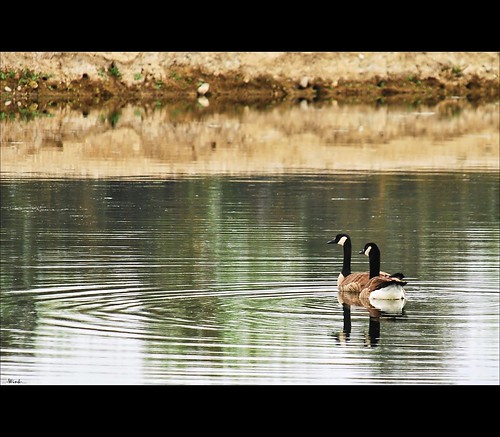
reflection geese pond goose explore 23 fp sigma18200 nikond80
Goose me
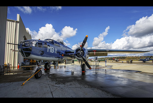
pbj caf b25
PBJ...another view
propeller caf p51mustang
P-51 front view
flower sunflower wildsunflower
Wild Sunflower
nature landscape view mount meditation ojaicalifornia nikond5100 rokinon14mmprime
Meditation Mount, Ojai California
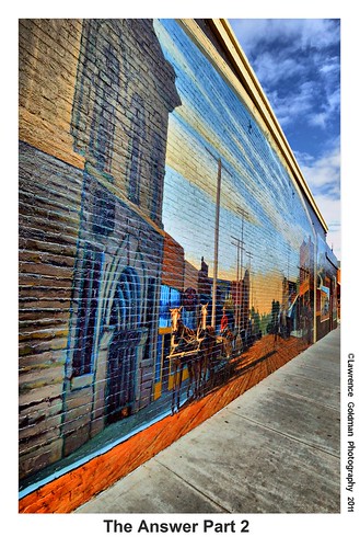
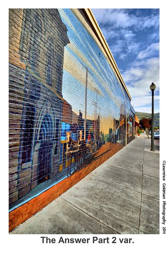
california history architecture bricks perspective murals southerncalifornia venturacounty smalltown outdoorart santapaula nikond90 artmortimer lawrencegoldman lhg11
The Answer Part 2 hdr
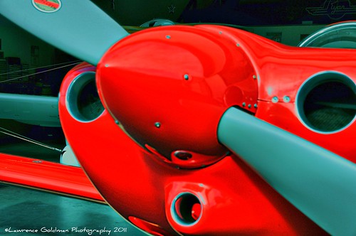
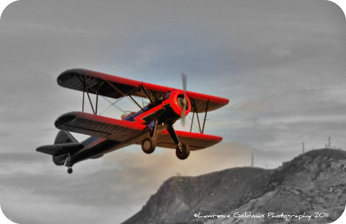
california red closeup photography airport aircraft southerncalifornia venturacounty cowling santapaula frontalview generalaviation singleengine 100comments proppeller nikond90 santapaulaairport mygearandme lawrencegoldman lhg11 nontowered
Rudolph the Red Nosed Airplane
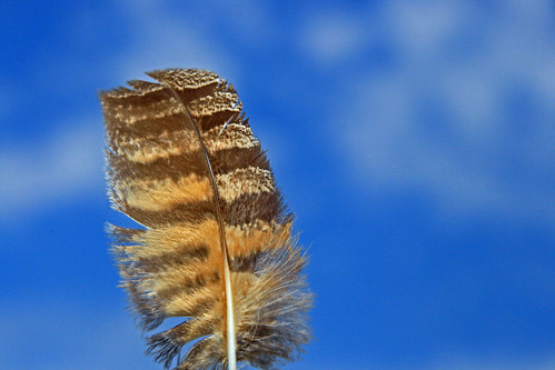
hawk feather redtailedhawk hawkfeather
Great Horned Owl Feather
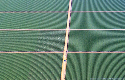
patterns crops agriculture aerialphotography venturacounty oxnard
Rows of Green Veggies
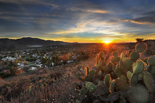
sunset cactus clouds camarillo
Old Bitter Man
well rig oilwell productionrig
Production Rig
120 golf ir 10 mini 101 infrared ventura putt efke golfnstuff 000views 820c
Golf n' Stuff, Ventura, California. Efke 820c 120
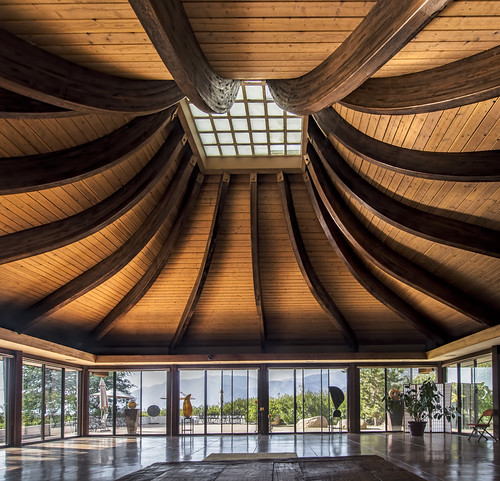
photoshop view ceiling ojai auditorium topaz photomatix meditationmount
The Auditorium at Meditation Mount (HDR)
apricot orchard...a winter view
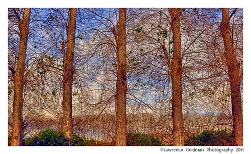
california county trees sky landscape textures southerncalifornia agriculture photoart ventura embossed saticoy nikond90 lawrencegoldman lhg11
Trees Through Trees (Textures)
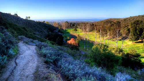
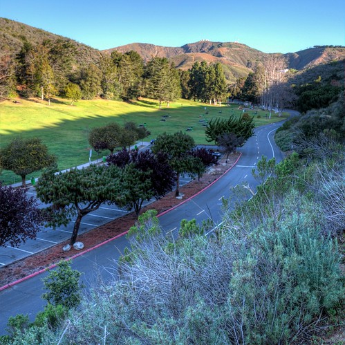
park view hike trail arroyoverde sigma18200hsmos nikond5100
Arroyo Verde Park, three
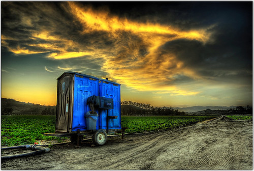
sunset fruit bravo scenery toilet wc hdr portapotty somis mobiletoilet 180000views
Throwdown Response
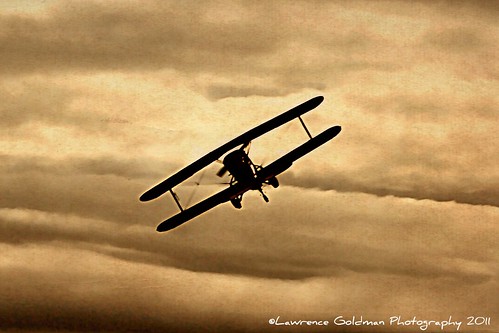
california sky sepia photography moving airport aircraft monochromatic southerncalifornia airborne dramaticsky venturacounty defyinggravity biplane stearman antiqueairplane santapaula generalaviation singleengine nikond90 santapaulaairport bankturn lawrencegoldman lhg11 nontowered unitedstatenavyhistoricalaircraft
"I'm Defying Gravity"
california history architecture bricks perspective murals southerncalifornia venturacounty smalltown outdoorart santapaula nikond90 artmortimer lawrencegoldman lhg11
The Answer Part 2 var hdr
california airplane nikon aircraft airplanes son restoration mitchell camarillo warbirds caf ventura venturacounty warbird airmuseum hellcat c46 oxnard pt19 camarilloairport commemorativeairforce f6f5 curtisscommando f6f3 onehundredthousandviews minsiiii d700 camarillocalifornia ivansabrams nikond700 aircraftrestoration davidemccampbell abramsandmcdanielinternationallawandeconomicdiplomacy ivansabramsarizonaattorney ivansabramsbauniversityofpittsburghjduniversityofpittsburghllmuniversityofarizonainternationallawyer
Colonel Russell Drosendahl, Commemorative Air Force, Southern California Wing, Camarillo Airport, California, January 2, 2010
california blue photography airport aircraft southerncalifornia airborne propeller venturacounty biplane antiqueairplane santapaula generalaviation comeflywithme nikond90 santapaulaairport lawrencegoldman lhg11 nontowered
"Come Fly With Me.....
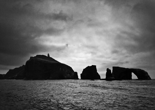
Anacapa Island
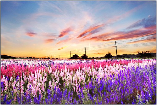
flowers sunset clouds powerlines somis nothdr mergeof2photos completelydifferentlocationthanmyshot2daysago
My Day Off
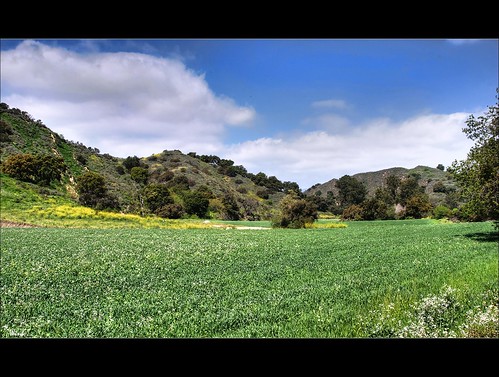
blue sky green grass clouds explore 356 nikond80 sigma18200hsmos
Picnic Anyone?
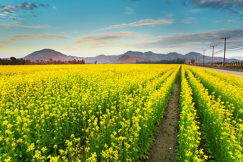
mountains yellow vanishingpoint powerlines rows mustard crops camarillo ruleofthirds lewisroad
Would you like Mustard with that?
california canyon grimes uploaded:by=flickrmobile flickriosapp:filter=nofilter
Grimes Canyon
park hike trail arroyoverde sigma18200hsmos nikond5100
Arroyo Verde, Two
foothills ventura sulphurmountain southmountain santapaula santaclaravalley
Ventura Foothills
blue green beach senior field grass barn dress candid camarillo kaitlyn sundress youhavenoideahowharditwasformetopostthisandnottheoneiwanted iwasgoingtopostthephotoontherightinthefirstsetofcomments
It's All About the Dress
ojai uploaded:by=flickrmobile flickriosapp:filter=nofilter
Ojai, CA
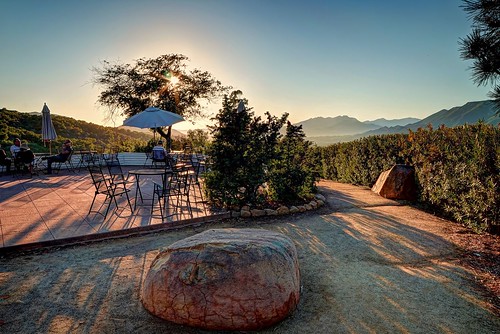
nature umbrella landscape caves boulders ojai meditationmount la2ojai nathanwickstrum
Ojai Sunset
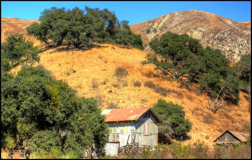
rural barns farms venturacounty santaclaravalley landscapephotography grimescanyonroad grimescanyon bardsdalecalifornia newagecrapphotography grimescanyoncattleranch californiabarns southerncaliforniabarns
Grimes Canyon Cattle Ranch
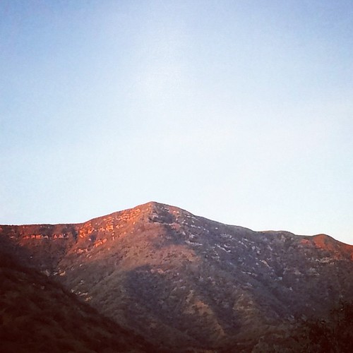
square squareformat hudson iphoneography instagramapp uploaded:by=instagram
Pink mountains. #ojai #hike #sunset #latergram
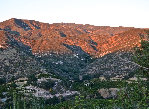
ojai meditationmount nordhoffridge sunsetviews
Meditation Mount, Nordhoff ridge, Ojai, sunset views
mustard mustardplant blackmountainranch
Black Mountain Ranch Mustard
california road usa moorpark windyroad curvyroad grimescanyon
Once Upon a Time
california landscape us unitedstates ojai
IMG_5815.jpg
square squareformat iphoneography instagramapp uploaded:by=instagram foursquare:venue=50a924fbe4b0170b31f4460d
#sun and #clouds